Elevation of Maragheh, East Azerbaijan Province, Iran
Location: Iran > East Azerbaijan > Maragheh >
Longitude: 46.2533882
Latitude: 37.3891966
Elevation: 1472m / 4829feet
Barometric Pressure: 85KPa
Elevation Map:
Satellite Map:
Related Photos:

Just A Piece of Heaven!

Can You Guess the Real Direction of the Photo?
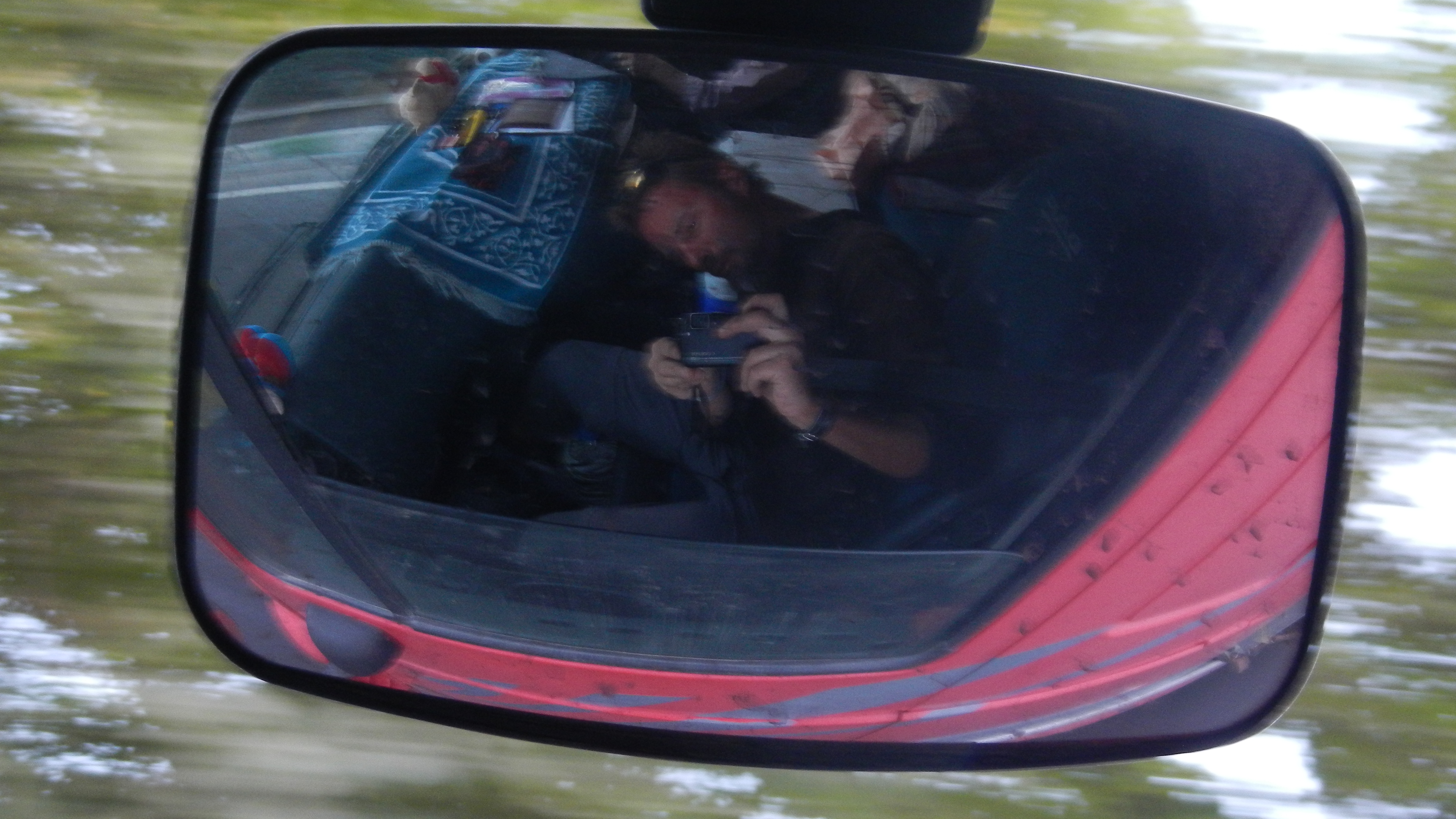
Rétroviseur
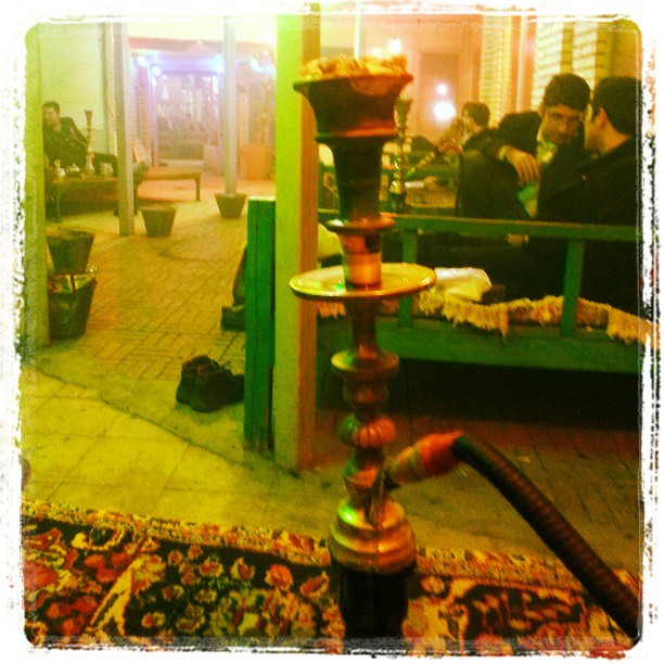
اینجا بودیم، بغل یه مشت موتاد عوضی.
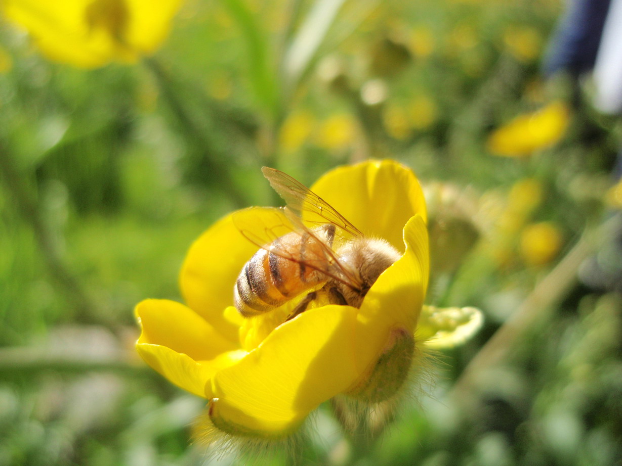
Busy Working in the Honey Factory!

Ladybugs in Bedroom!

18+ !!
Topographic Map of Maragheh, East Azerbaijan Province, Iran
Find elevation by address:

Places near Maragheh, East Azerbaijan Province, Iran:
Bonab
Bonab
Malekan
Ajabshir
Ajabshir
Azarshahr
Qoshachay
East Azerbaijan
Azarshahr
Osku
Sahand
Osku
Mahabad
Mahabad Dam
Eslamabad, Urmia
Naqadeh
ارومیه
Urmia
Oshnavieh
Piranshahr
Recent Searches:
- Elevation of Sattva Horizon, 4JC6+G9P, Vinayak Nagar, Kattigenahalli, Bengaluru, Karnataka, India
- Elevation of Great Brook Sports, Gold Star Hwy, Groton, CT, USA
- Elevation of 10 Mountain Laurels Dr, Nashua, NH, USA
- Elevation of 16 Gilboa Ln, Nashua, NH, USA
- Elevation of Laurel Rd, Townsend, TN, USA
- Elevation of 3 Nestling Wood Dr, Long Valley, NJ, USA
- Elevation of Ilungu, Tanzania
- Elevation of Yellow Springs Road, Yellow Springs Rd, Chester Springs, PA, USA
- Elevation of Rēzekne Municipality, Latvia
- Elevation of Plikpūrmaļi, Vērēmi Parish, Rēzekne Municipality, LV-, Latvia