Elevation of Mapo Hall, Old Quarter, Ibadan, Nigeria
Location: Nigeria > Oyo > Ibadan > Ward 1 C2 >
Longitude: 3.8970098
Latitude: 7.3758321
Elevation: -10000m / -32808feet
Barometric Pressure: 295KPa
Elevation Map:
Satellite Map:
Related Photos:

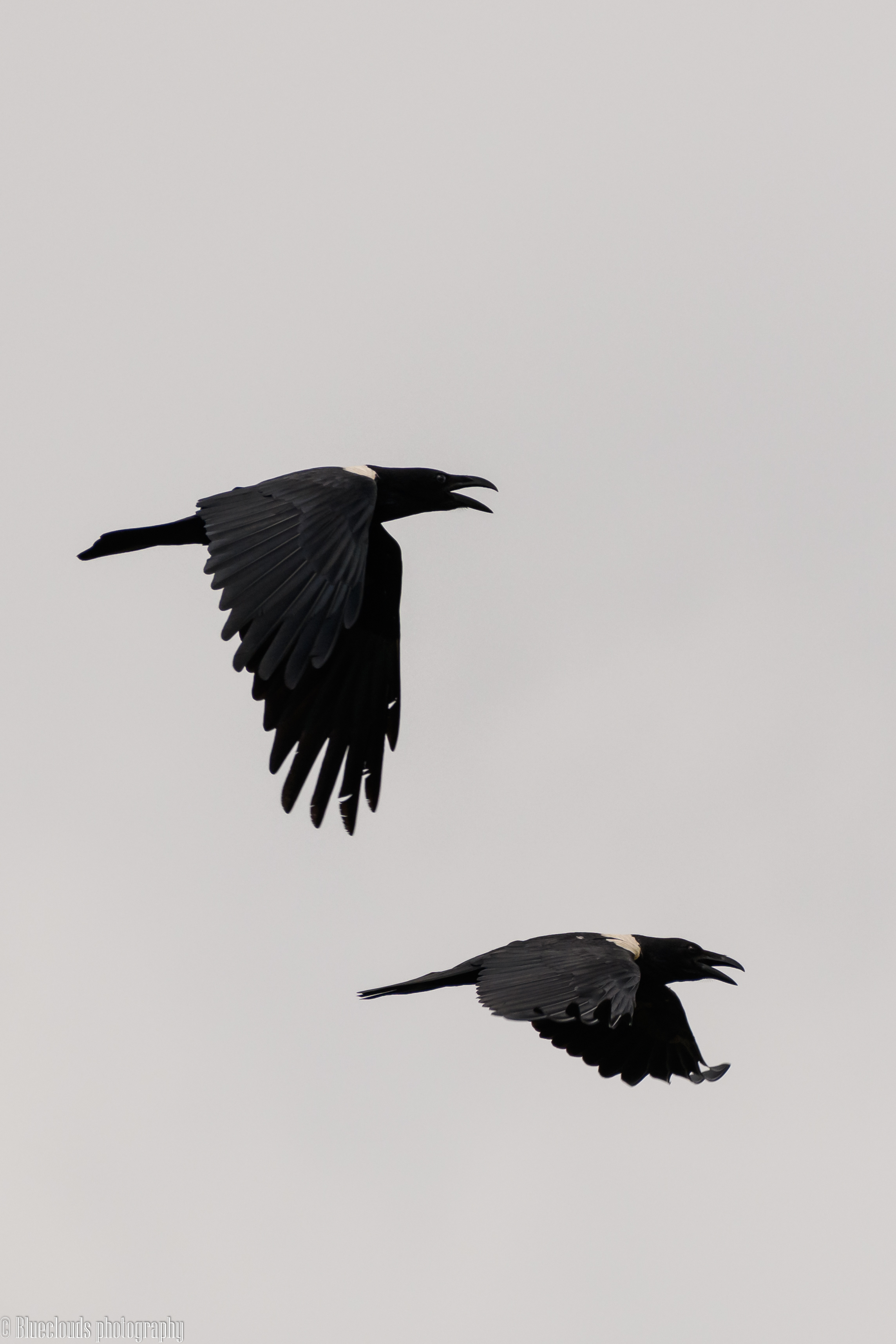
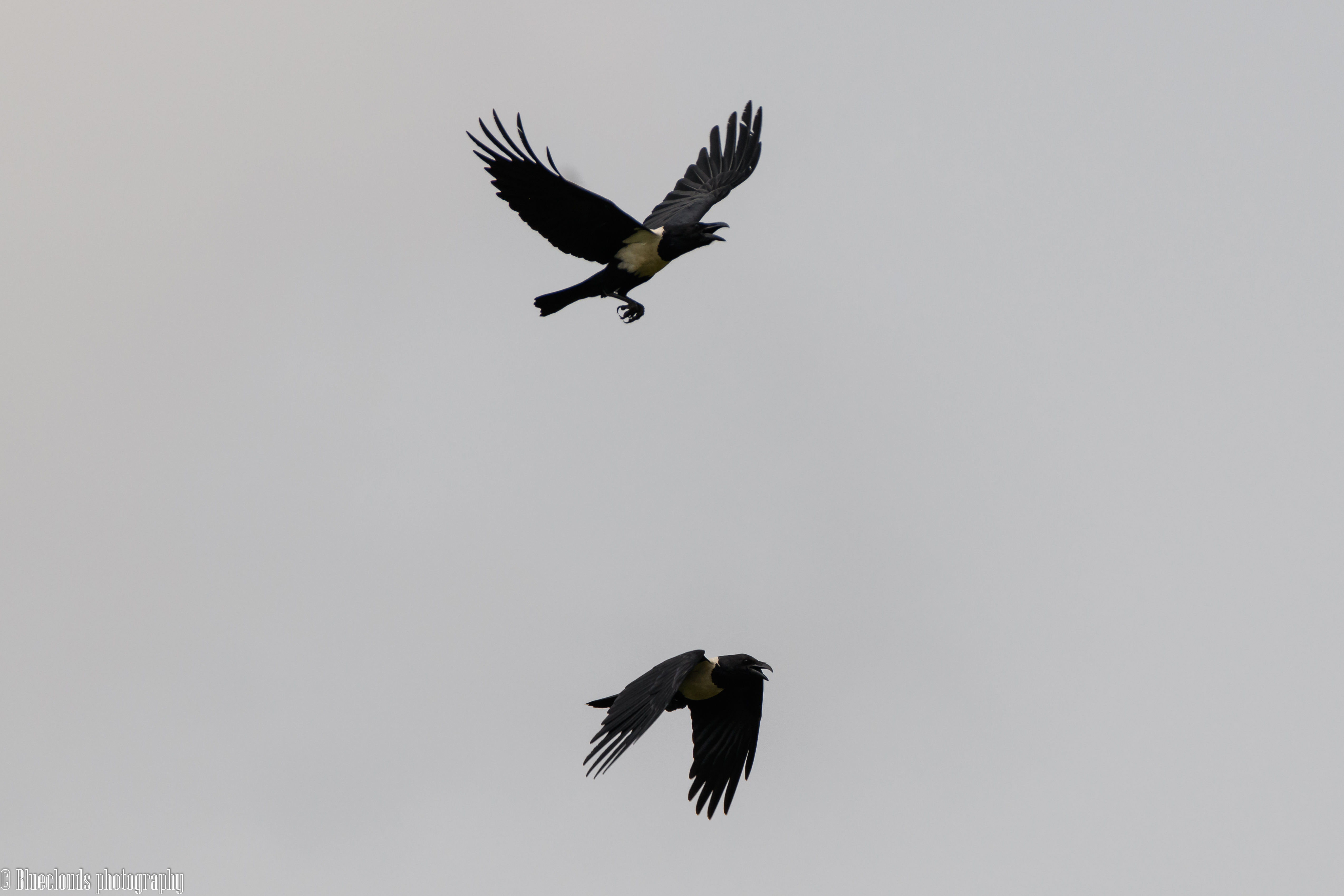
Viewing birds at IITA forest
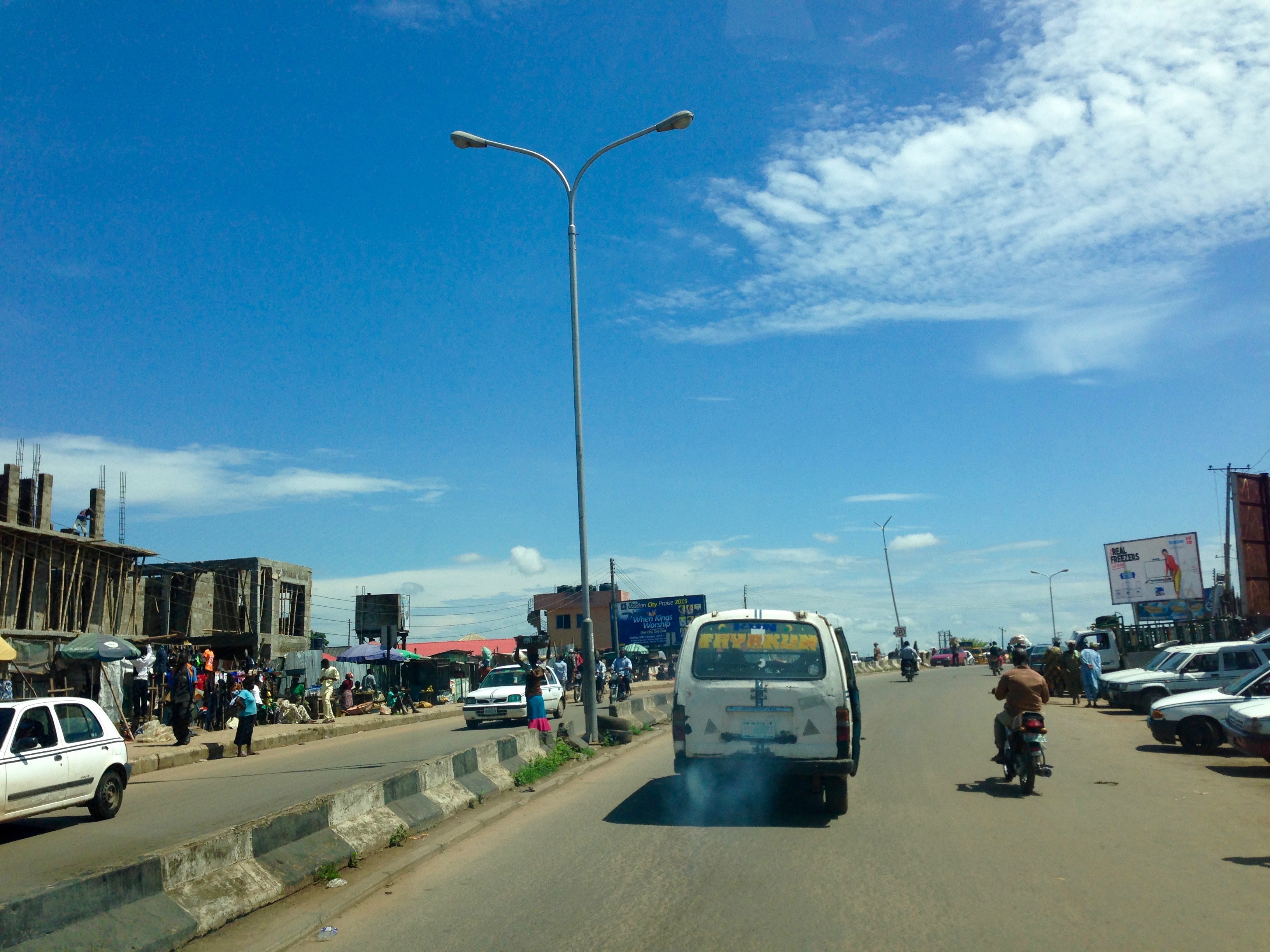
Ibadan Nigeria.

20131022-DSC_3416

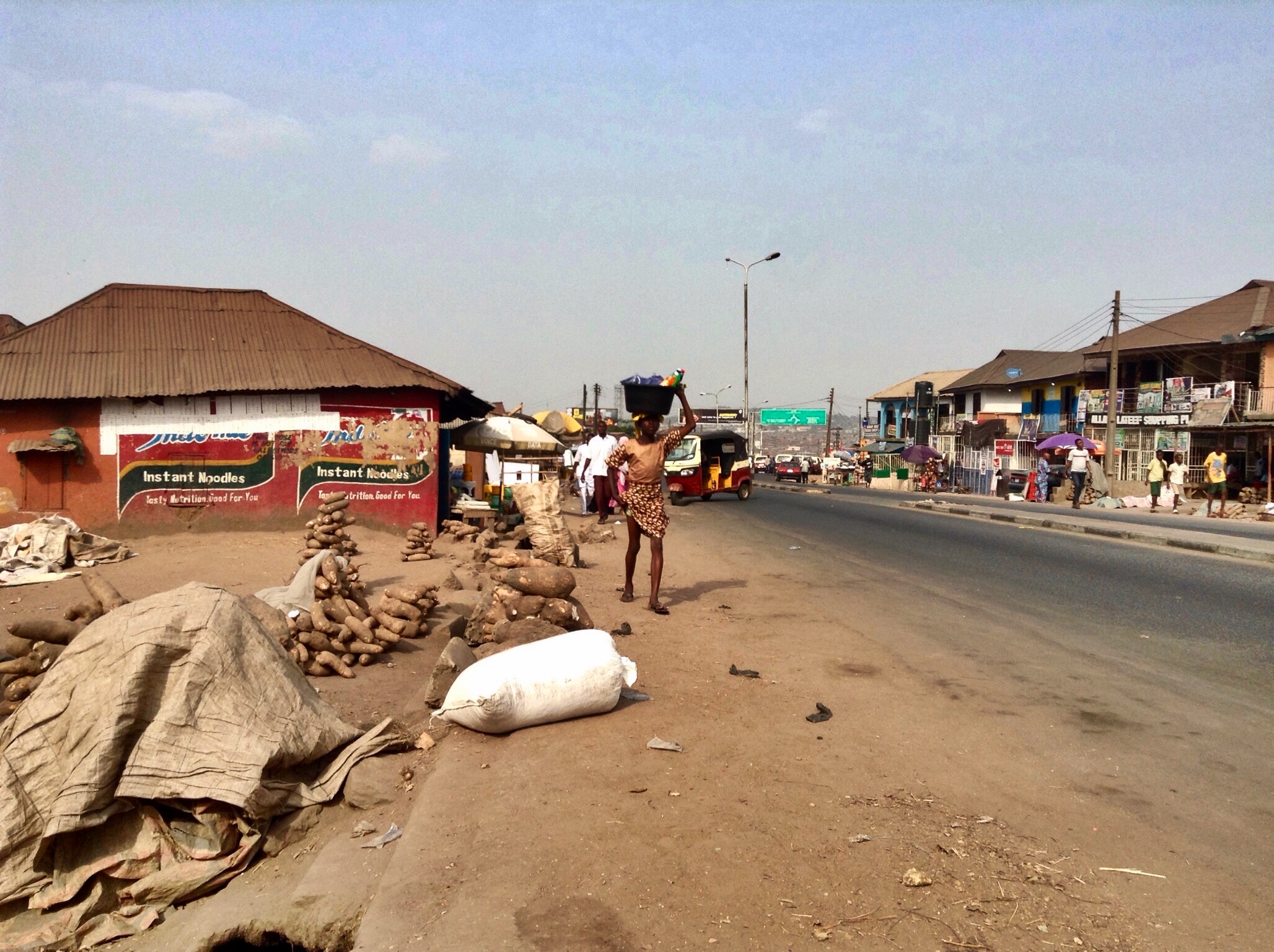
Rice, beans, gari & okababa @ Adelabu Market, Orita Challenge, Ibadan, Oyo State, Nigeria.
CHU_8638-2

CHU_8640-2
CHU_8629-2

CHU_8526-3

CHU_8402-2

CHU_8458-3

Artifacts in Ibadan

Artifacts in Ibadan

Honey Glazed Peppered Snails.

Sundried Red Peppers

Adelabu Market

Ibadan Woman

Slippers/Work Boots

Adelabu Market

Culture & Style

Culture & Style

Oje Market
Beere Road

Ibadan Woman

Peppers & Tomatoes
Topographic Map of Mapo Hall, Old Quarter, Ibadan, Nigeria
Find elevation by address:

Places near Mapo Hall, Old Quarter, Ibadan, Nigeria:
Ward 1 C2
Ibadan North West
Ibadan North East
Fan Milk Industry
Ibadan
Egbeda
Ron Sol School
Oluyole
Lagelu
Ido
Ijebu North
Odeda
Oyo
Ibarapa East
Abeokuta
Ogun State Governor's Office
Abeokuta South
Olumo Rock
Ibarapa Central
Abeokuta North
Recent Searches:
- Elevation of Estates Loop, Priest River, ID, USA
- Elevation of Woodland Oak Pl, Thousand Oaks, CA, USA
- Elevation of Brownsdale Rd, Renfrew, PA, USA
- Elevation of Corcoran Ln, Suffolk, VA, USA
- Elevation of Mamala II, Sariaya, Quezon, Philippines
- Elevation of Sarangdanda, Nepal
- Elevation of 7 Waterfall Way, Tomball, TX, USA
- Elevation of SW 57th Ave, Portland, OR, USA
- Elevation of Crocker Dr, Vacaville, CA, USA
- Elevation of Pu Ngaol Community Meeting Hall, HWHM+3X7, Krong Saen Monourom, Cambodia