Elevation of Maple Leaf Street, Dearborn, MO, USA
Location: United States > Missouri > Platte County > Green Township > Dearborn >
Longitude: -94.771821
Latitude: 39.522619
Elevation: 271m / 889feet
Barometric Pressure: 98KPa
Elevation Map:
Satellite Map:
Related Photos:
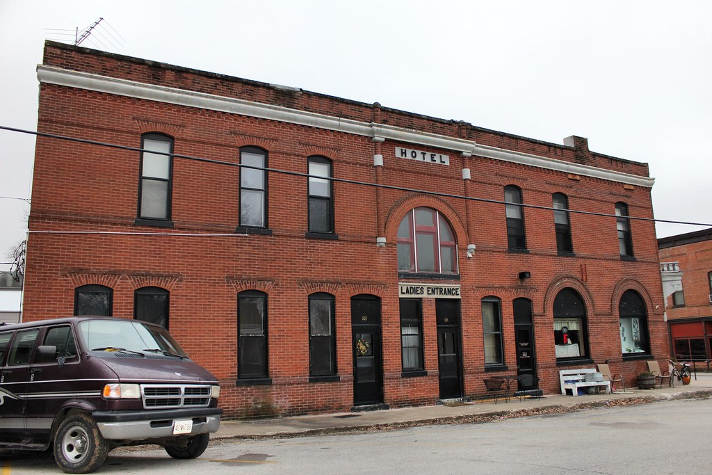
Bank Block - Dearborn, MO
watchful tree
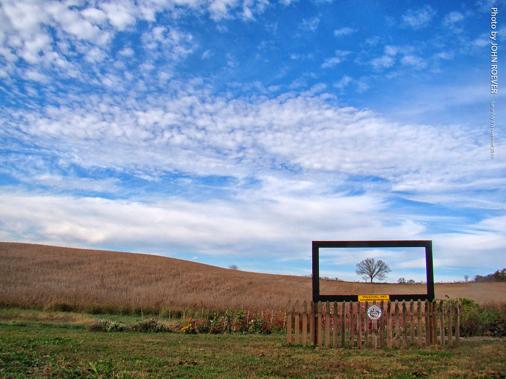
Autumn at Farmers House, 5 Nov 2016
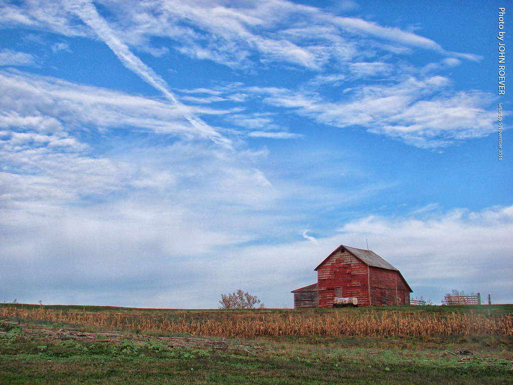
Barn at Farmers House, 5 Nov 2016
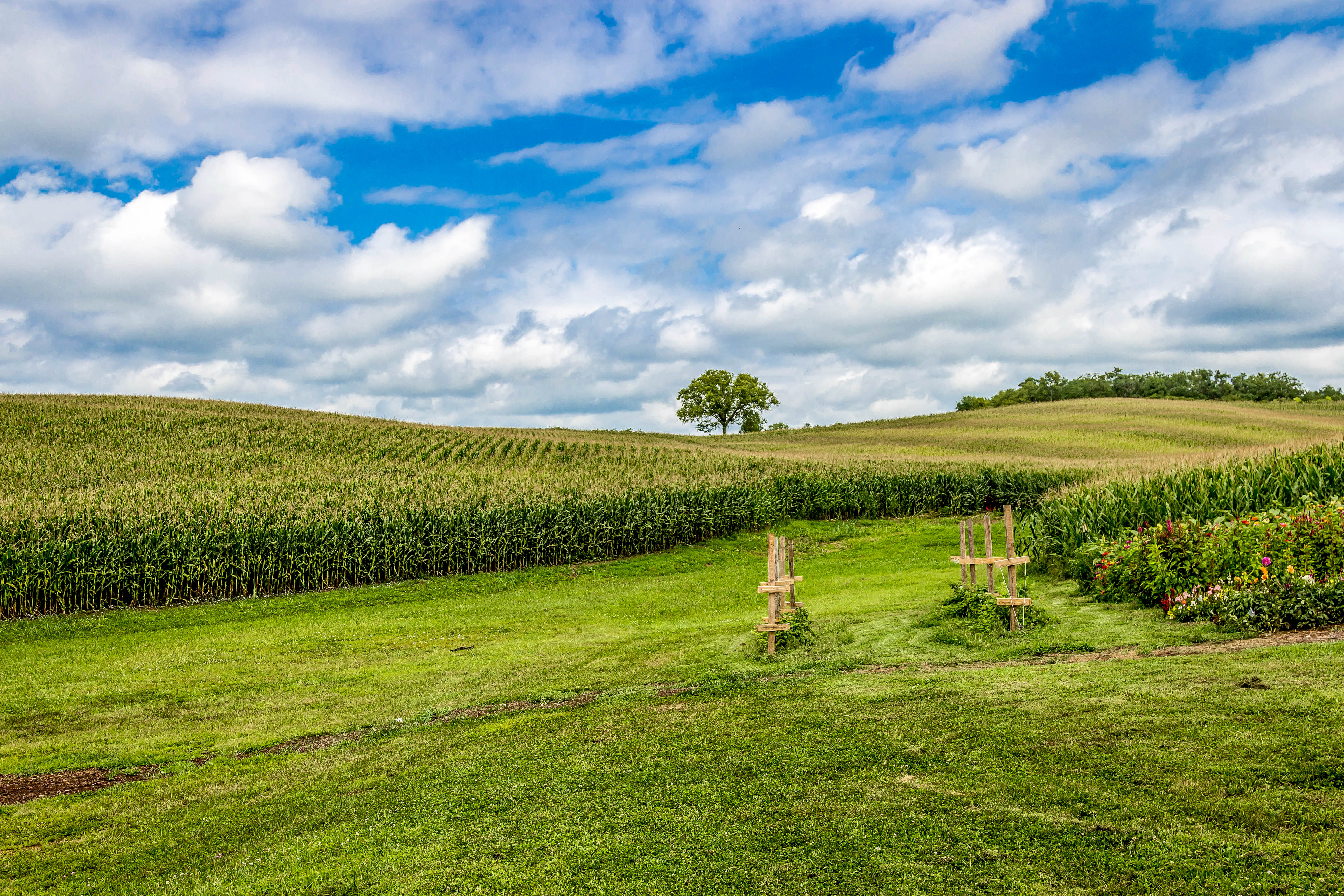
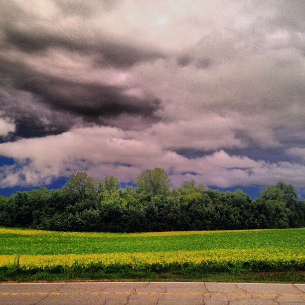
Soybean field
Aug 4, 2013-17
Tobacco Field near Weston, Missouri

COW HOUSE - Weston, Missouri USA

Missouri in the fall
Back Road to St Joe
The colors outside right now are remarkable. #beautiful
IMG_8873.JPG
Topographic Map of Maple Leaf Street, Dearborn, MO, USA
Find elevation by address:

Places near Maple Leaf Street, Dearborn, MO, USA:
Dearborn
18 Mill St
Green Township
SE Taos Rd, Faucett, MO, USA
Crawford Township
Barlow Truck Lines Inc
Grand Dd SE, Faucett, MO, USA
Faucett
901 2nd St Se
County Road 100th
13000 I-29 Frontage Rd
Edgerton Junction Rd, Dearborn, MO, USA
22570 King Rd
SE State Rte H, Faucett, MO, USA
15301 Se State Rte E
Buchanan County
Platte Township
Agency
Fair Township
8201 Se State Rte H
Recent Searches:
- Elevation of Lampiasi St, Sarasota, FL, USA
- Elevation of Elwyn Dr, Roanoke Rapids, NC, USA
- Elevation of Congressional Dr, Stevensville, MD, USA
- Elevation of Bellview Rd, McLean, VA, USA
- Elevation of Stage Island Rd, Chatham, MA, USA
- Elevation of Shibuya Scramble Crossing, 21 Udagawacho, Shibuya City, Tokyo -, Japan
- Elevation of Jadagoniai, Kaunas District Municipality, Lithuania
- Elevation of Pagonija rock, Kranto 7-oji g. 8"N, Kaunas, Lithuania
- Elevation of Co Rd 87, Jamestown, CO, USA
- Elevation of Tenjo, Cundinamarca, Colombia