Elevation of Manthokha
Longitude: 75.9971348
Latitude: 35.0916794
Elevation: 2331m / 7648feet
Barometric Pressure: 76KPa
Elevation Map:
Satellite Map:
Related Photos:

The faintest cry
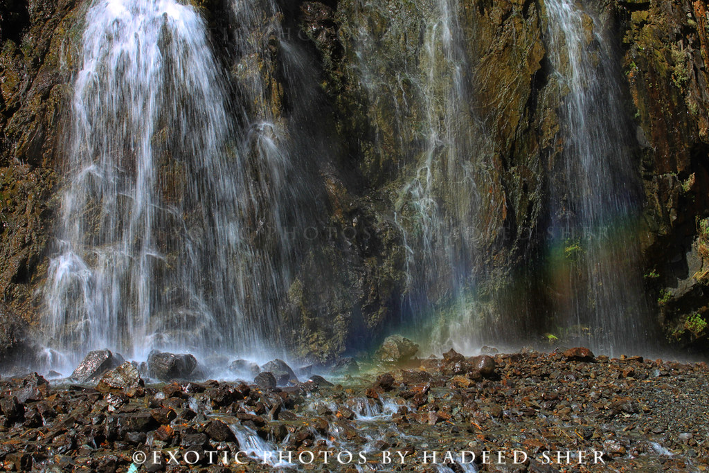
The falls of Mantokha !!

Bridge near Khaplu
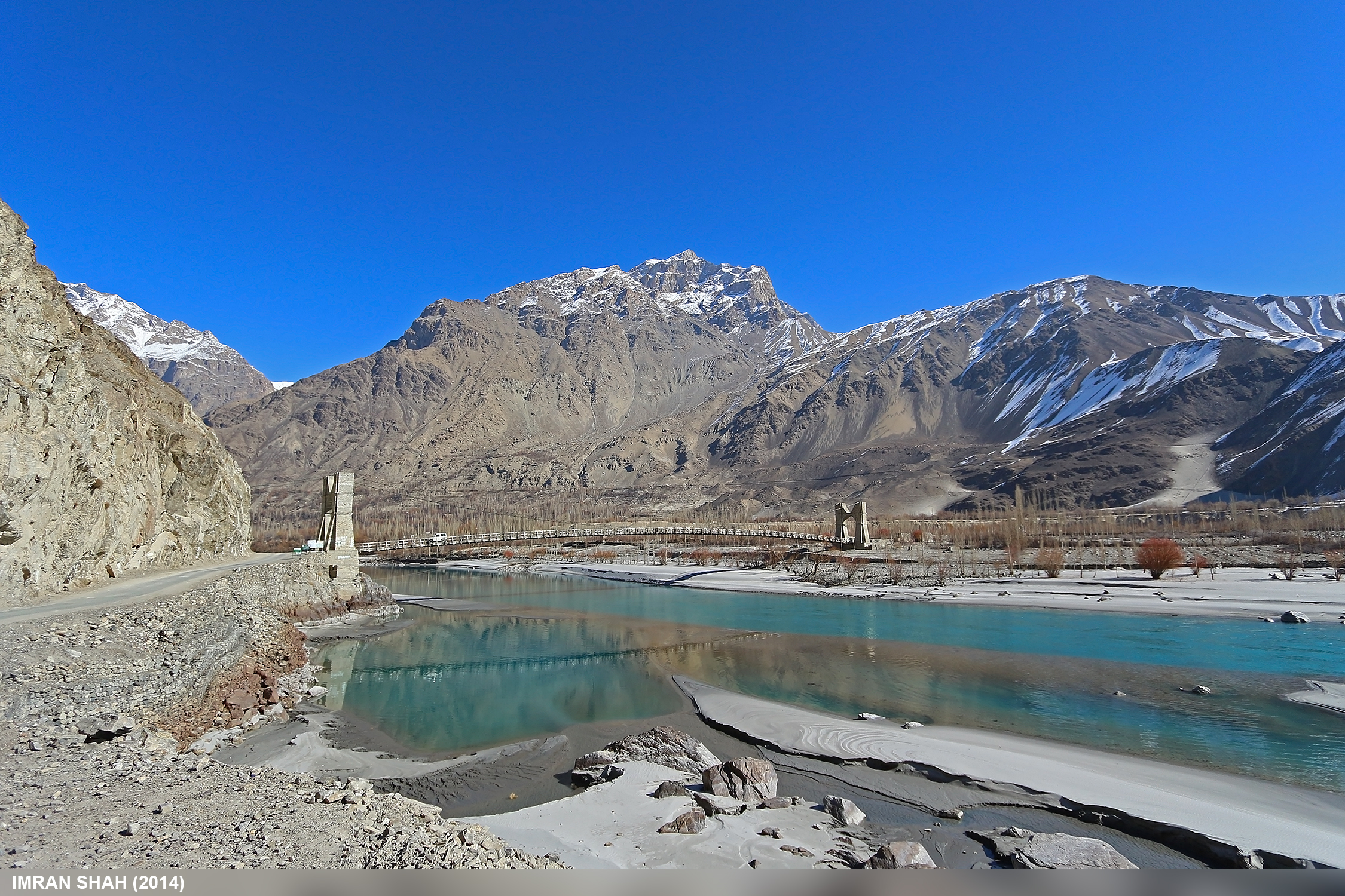
Khaplu, Ghanche, Gilgit-Baltistan, Pakistan
Khaplu, Ghanche, Gilgit-Baltistan, Pakistan

Mantokha Falls | Skardu Valley

Manthokha Waterfall
Topographic Map of Manthokha
Find elevation by address:

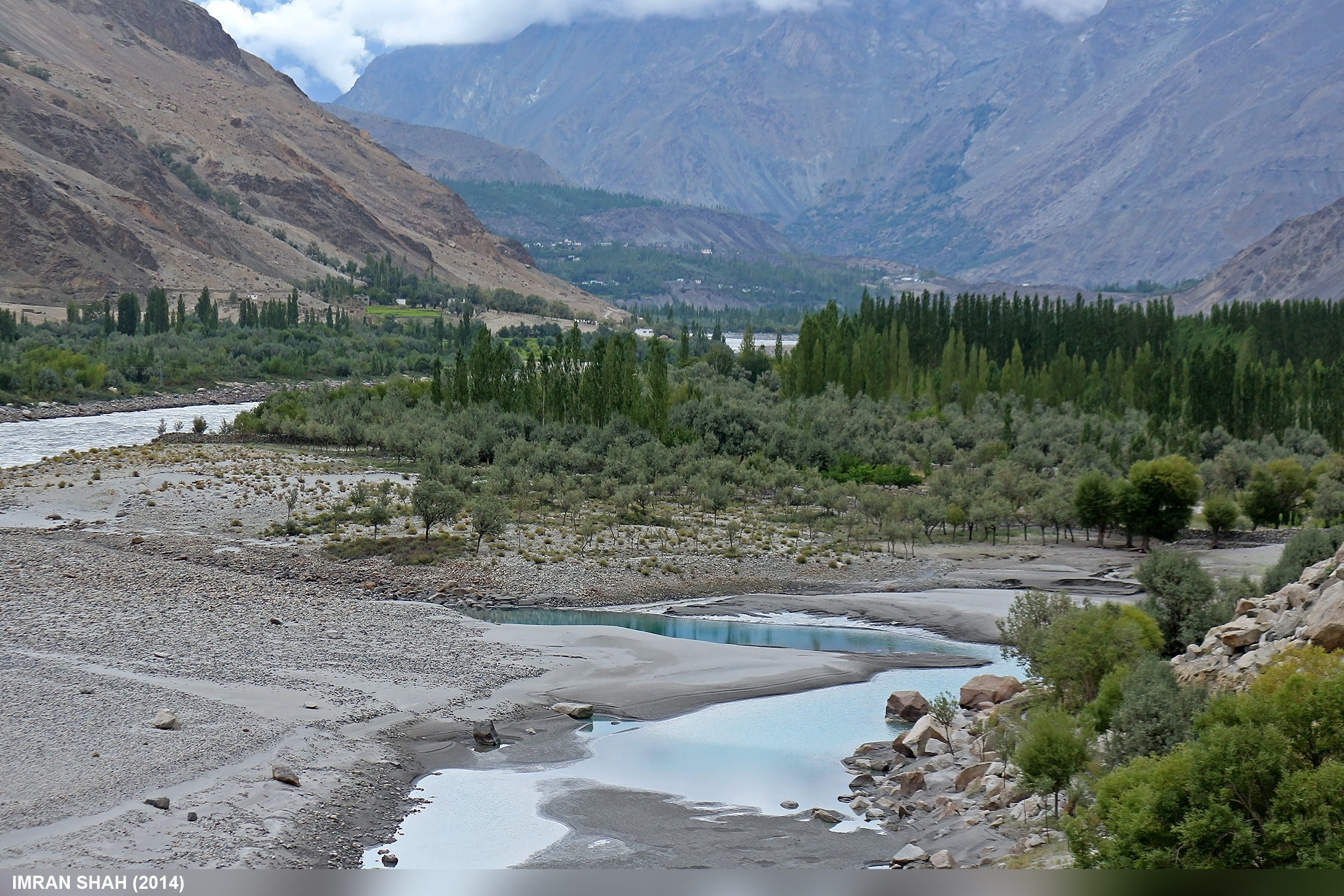
Places near Manthokha:
Manthoka Waterfall
Manthoka Waterfall
Kargil
Batalik
Srinagar - Ladakh Road
Turtuk
Chalunka
Fotu La
Lamayuru
Lamayuru Meditation Center
Lamayuru Gompa
Khalsi
Hanupatta
Uley
Ulley Garden
Uleytokpo
Suspol
Jammu And Kashmir
Saspul
Alchi Resort
Recent Searches:
- Elevation of Vista Blvd, Sparks, NV, USA
- Elevation of 15th Ave SE, St. Petersburg, FL, USA
- Elevation of Beall Road, Beall Rd, Florida, USA
- Elevation of Leguwa, Nepal
- Elevation of County Rd, Enterprise, AL, USA
- Elevation of Kolchuginsky District, Vladimir Oblast, Russia
- Elevation of Shustino, Vladimir Oblast, Russia
- Elevation of Lampiasi St, Sarasota, FL, USA
- Elevation of Elwyn Dr, Roanoke Rapids, NC, USA
- Elevation of Congressional Dr, Stevensville, MD, USA