Elevation of Manning Camp, Vail, AZ, United States
Location: United States > Arizona > Pima County > Vail >
Longitude: -110.55471
Latitude: 32.2066794
Elevation: 2415m / 7923feet
Barometric Pressure: 75KPa
Elevation Map:
Satellite Map:
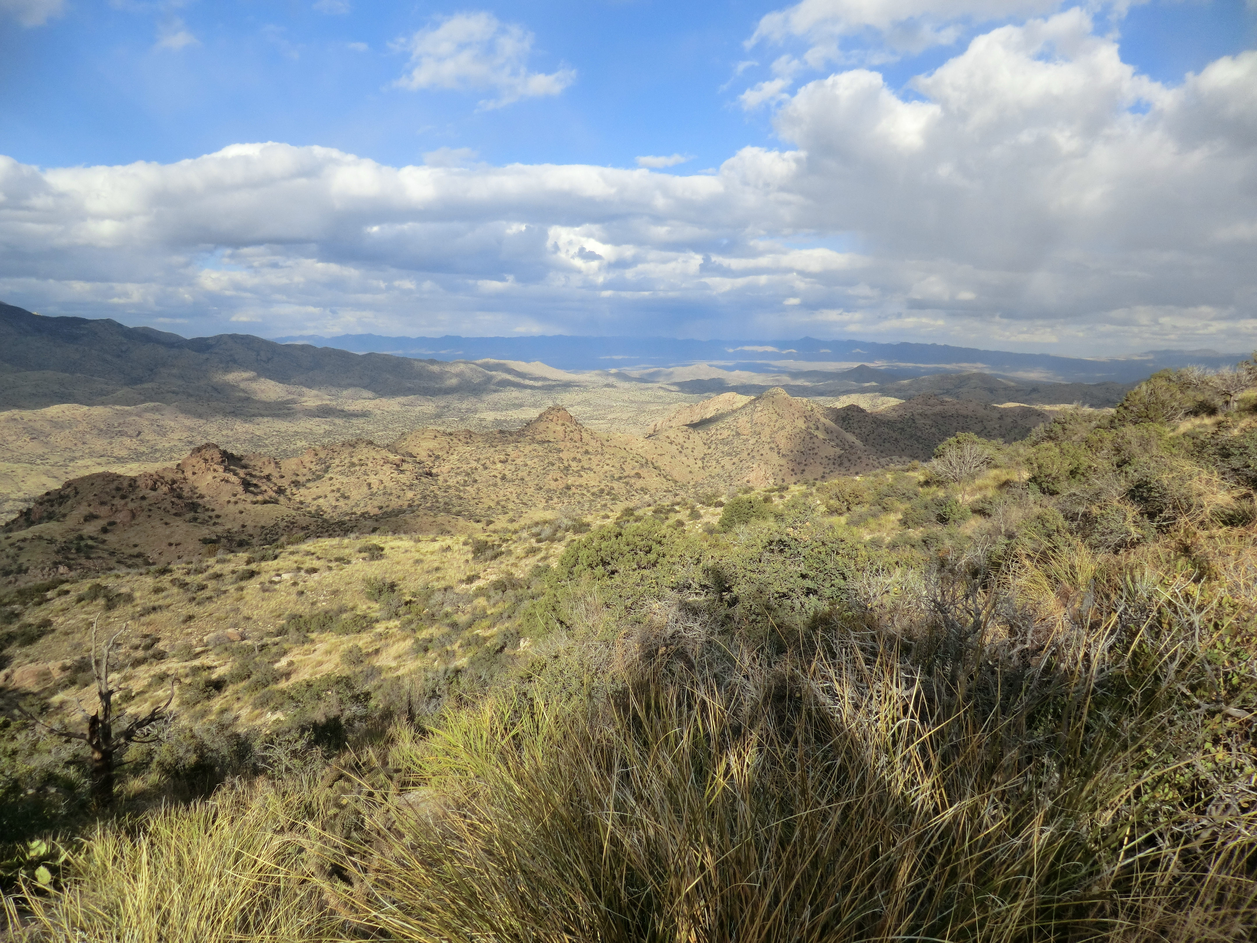
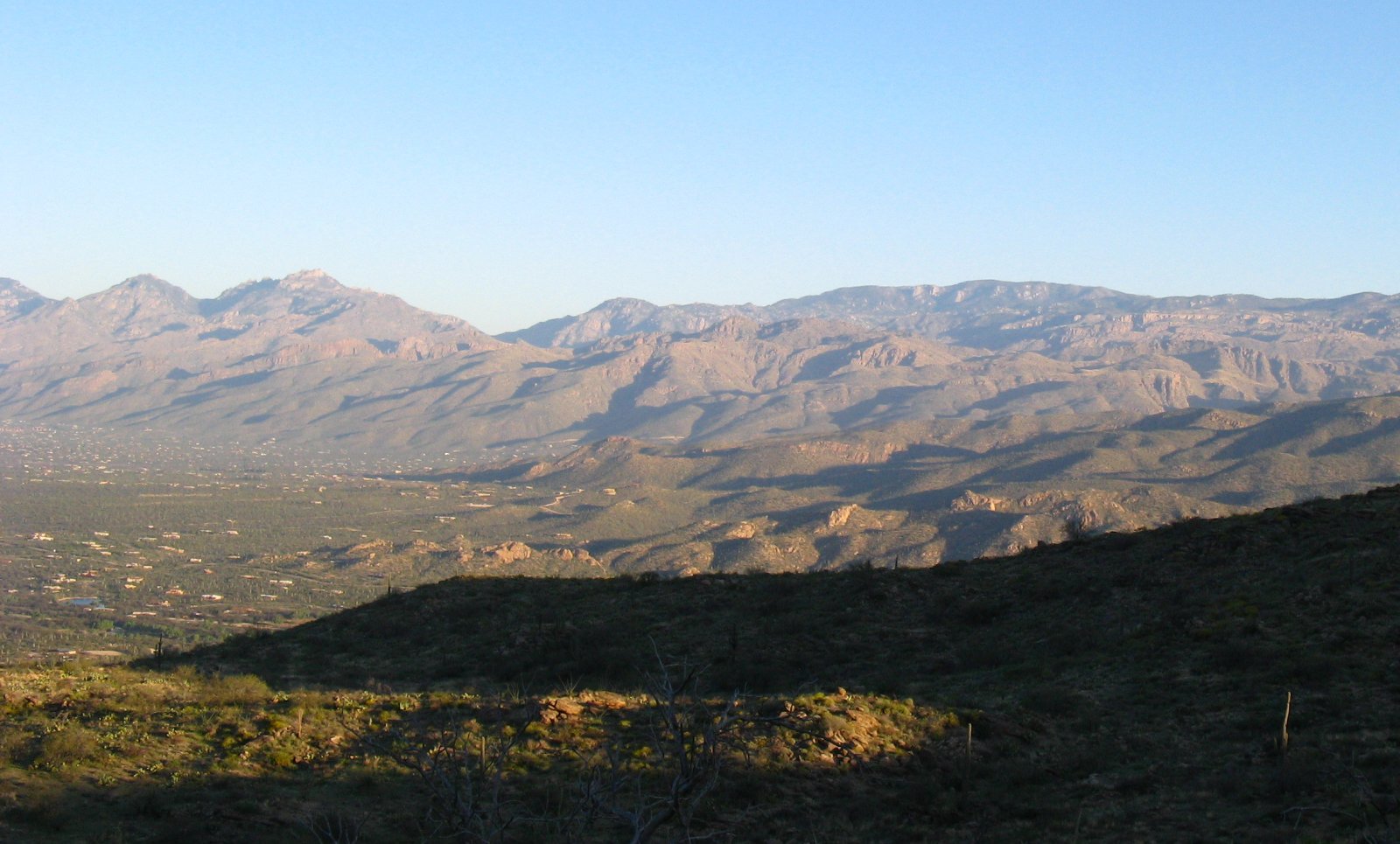
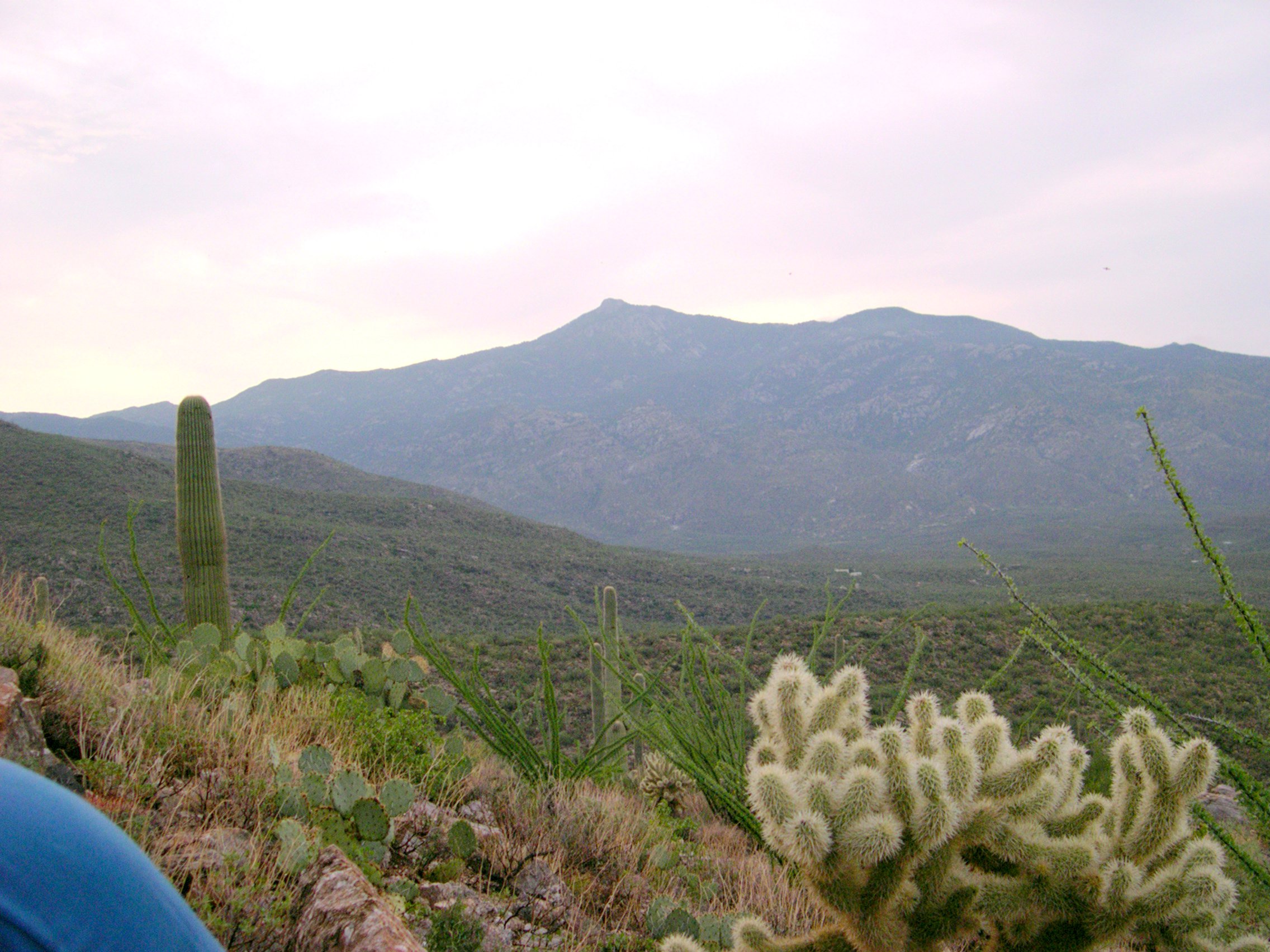
Related Photos:

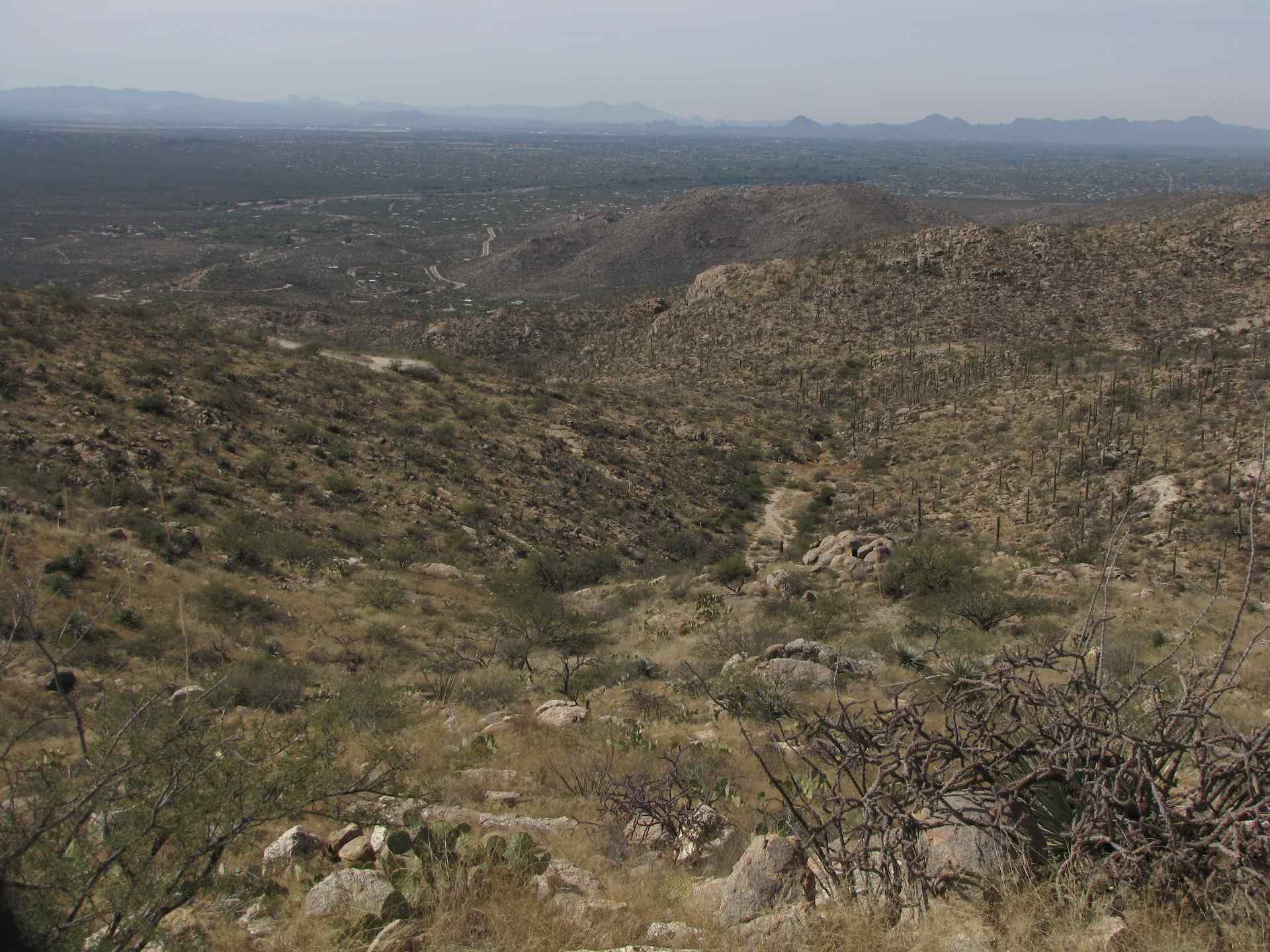
trail heaven
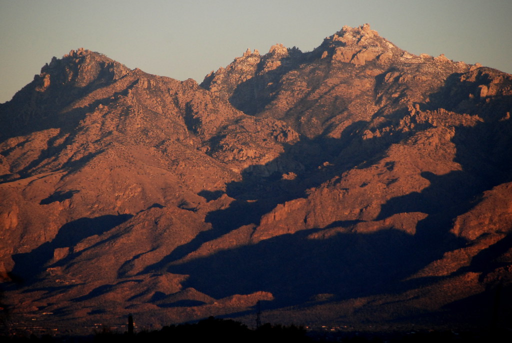
Sunrise View of Cathedral and Ventana Peaks from Saguaro National Park, Tucson, Arizona
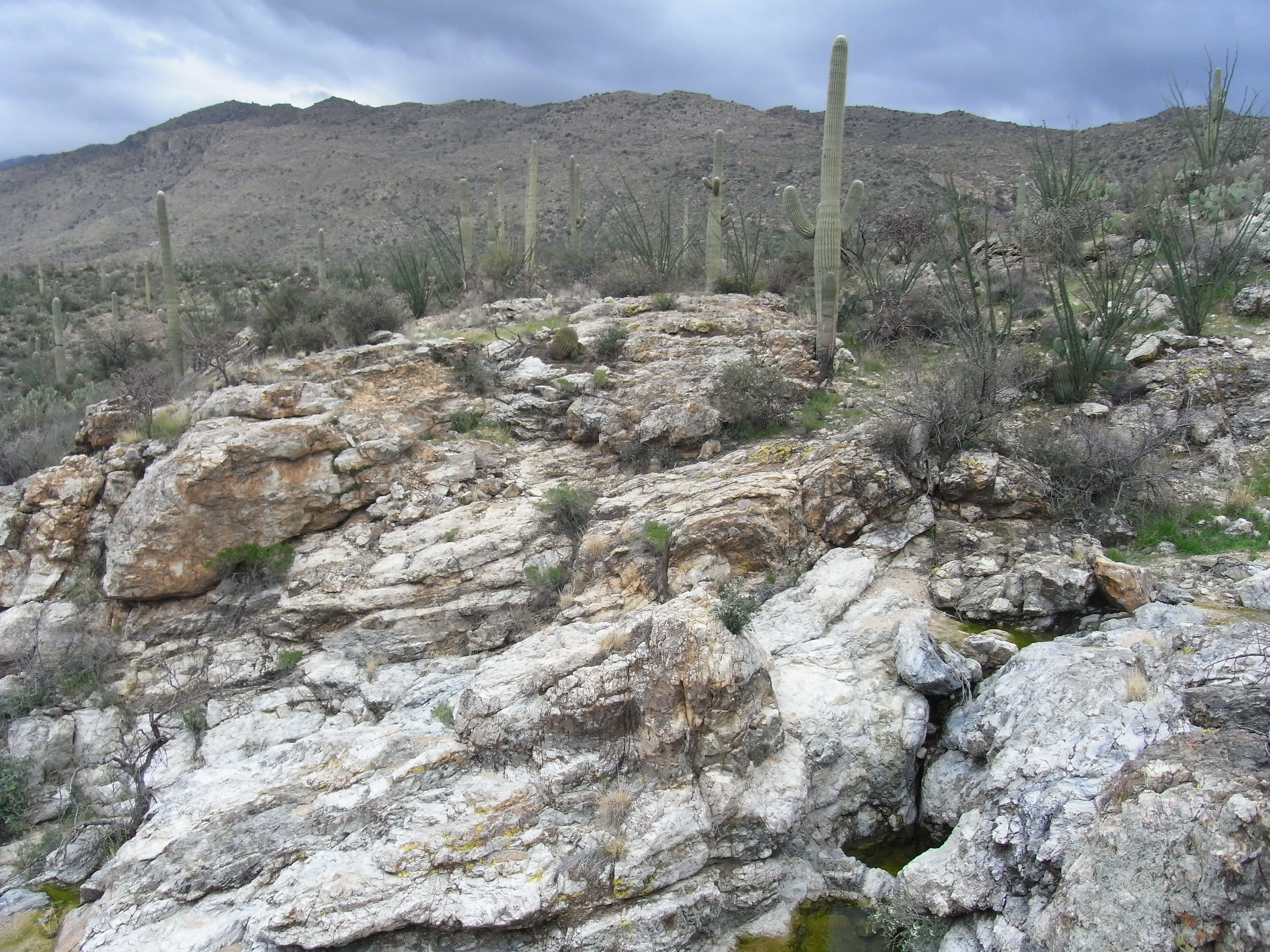
Down Miller Creek
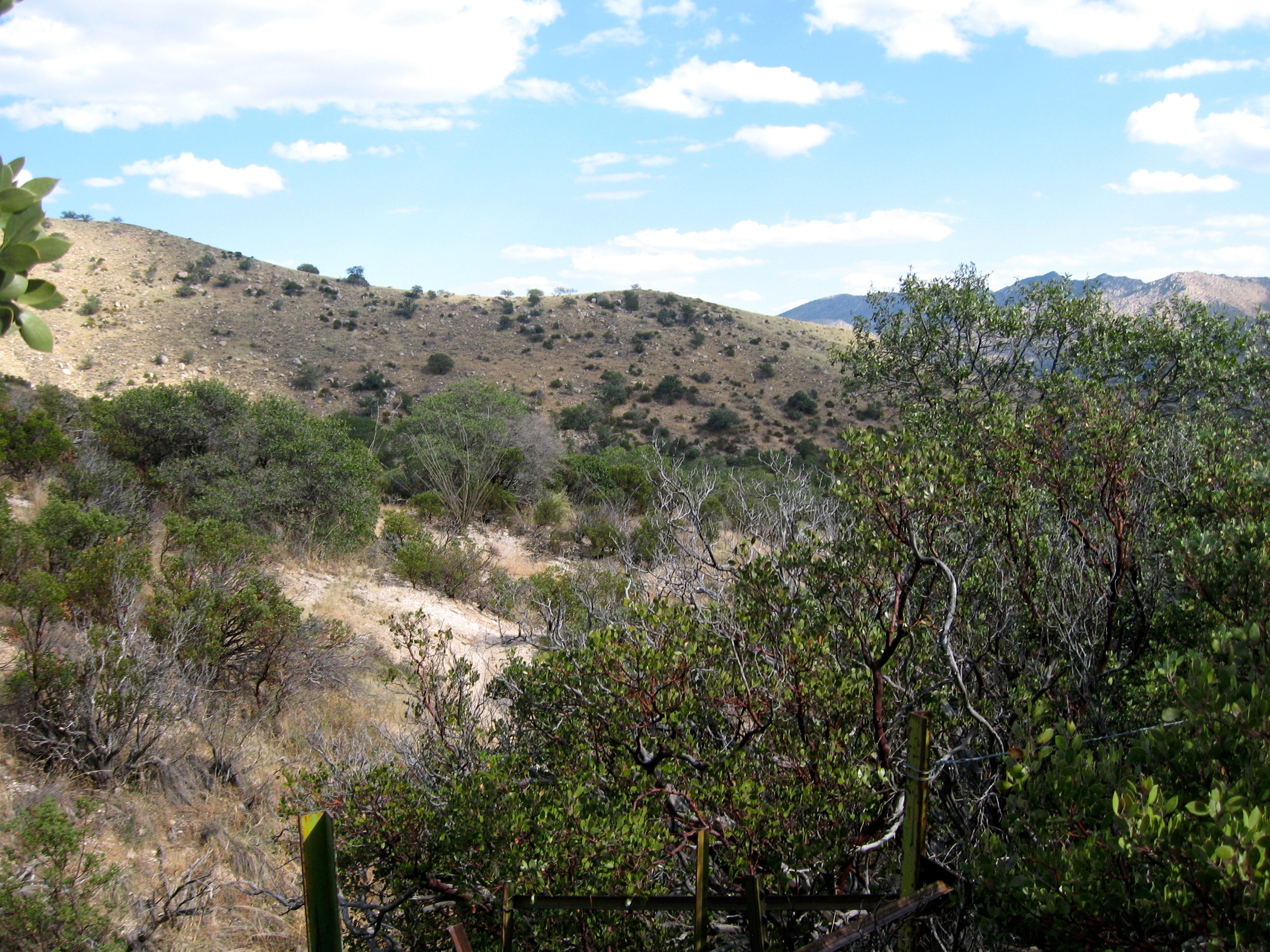
Birder's trail point of view
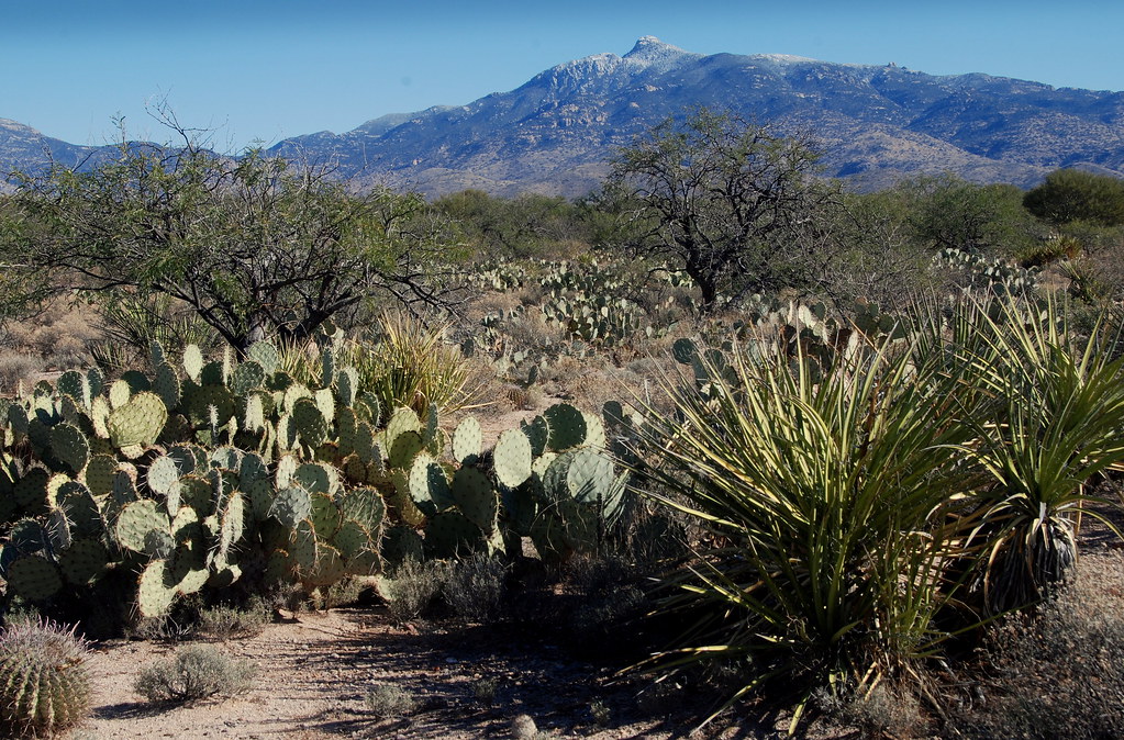
Rincon Peak of Saguaro National Park, viewed from the valley, Arizona
View of Tucson; Redington Pass Road, E of Tucson, AZ
Rincon Peak View 3
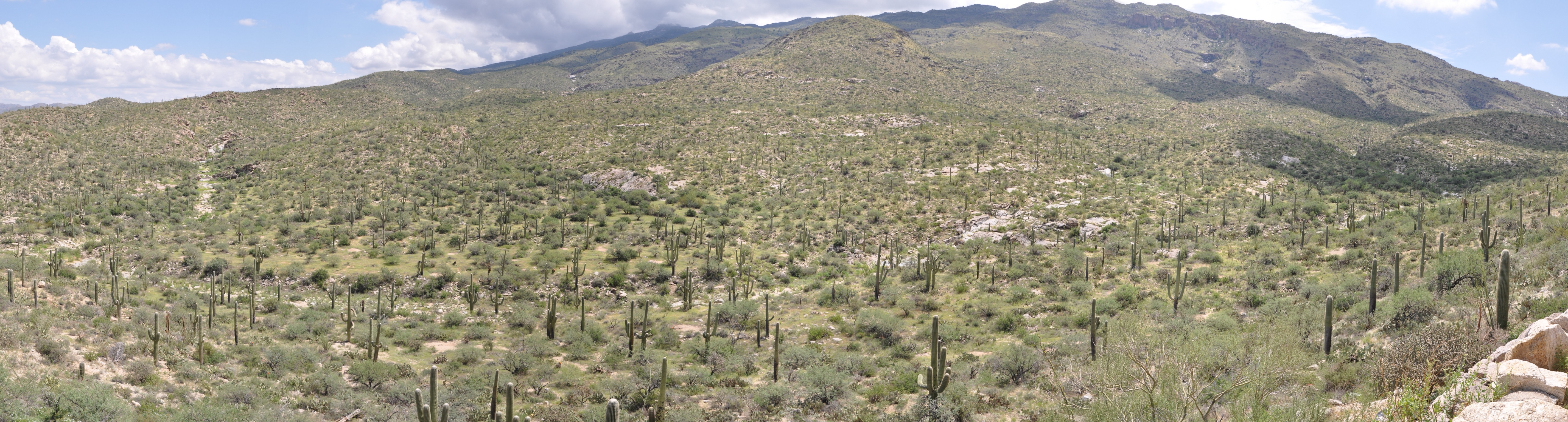
Panoramic view of Saguaro NP
Lime Falls View
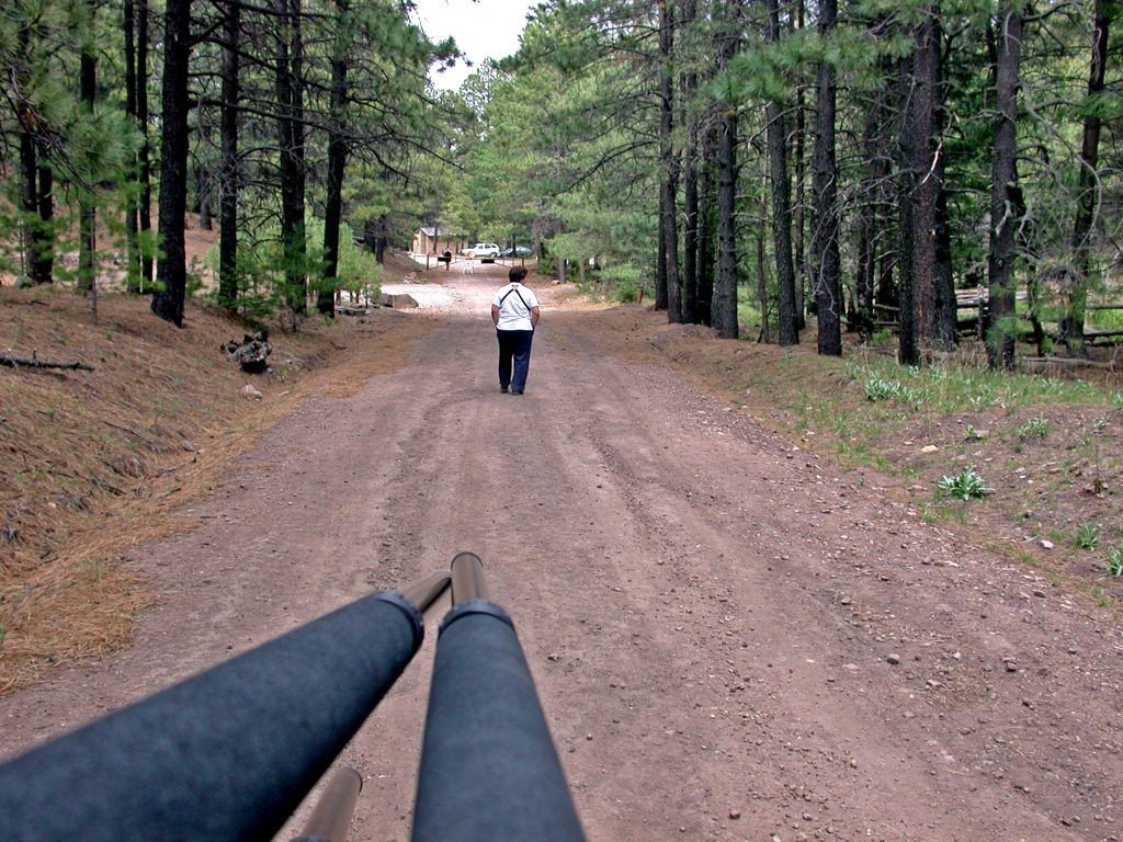
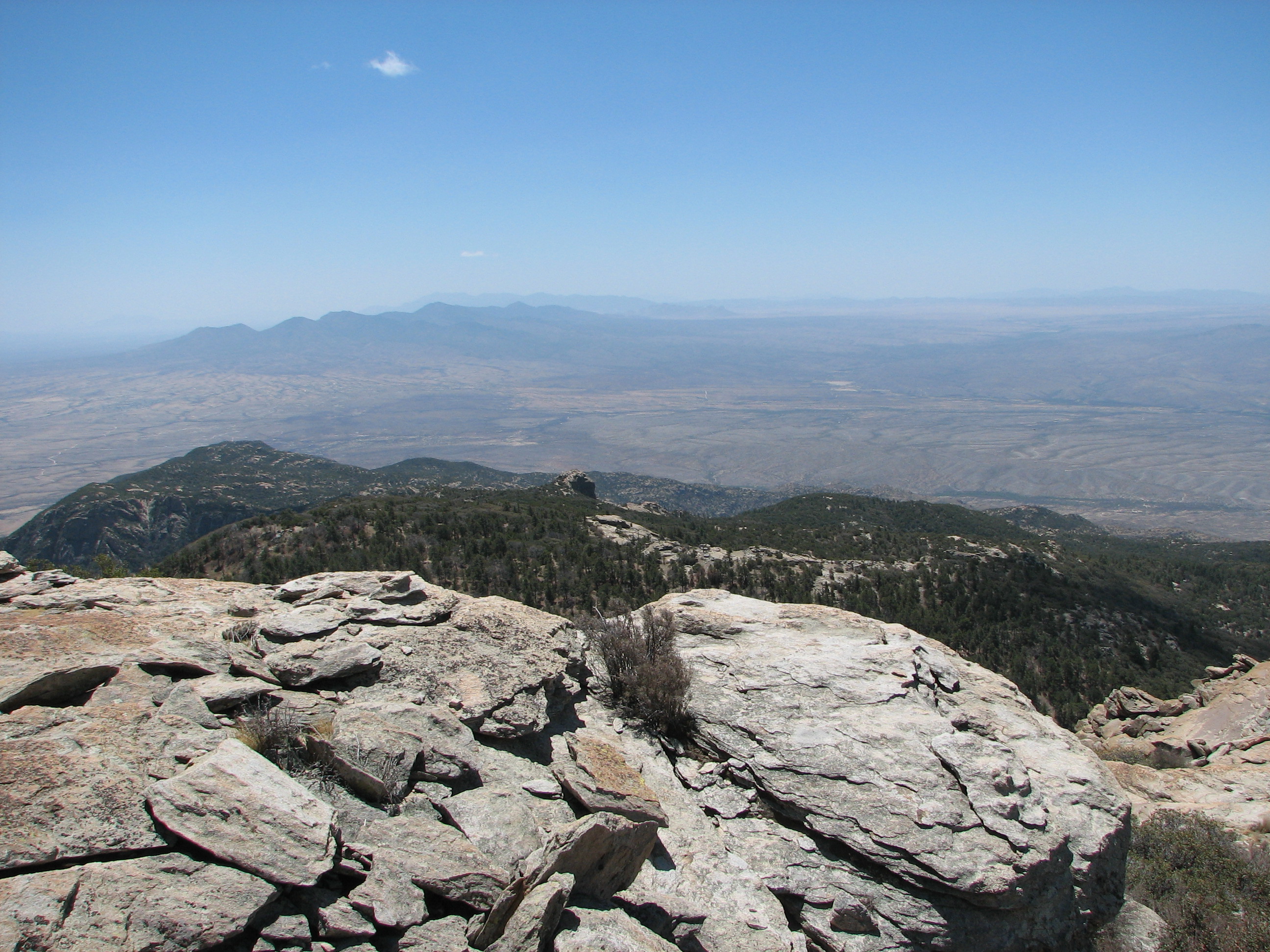
1202 From the trail, nearing the Summit
IMG_3814.JPG
SCASNPSummer'06
Topographic Map of Manning Camp, Vail, AZ, United States
Find elevation by address:

Places near Manning Camp, Vail, AZ, United States:
Mica Mountain
Saguaro National Park East
14301 E Speedway Blvd
Douglas Spring Trailhead
Bajada Vista Trail
Agua Caliente Hill
13680 E Camino La Cebadilla
Redington Ranch
3434 N Wide Loop Dr
3501 N Wide Loop Dr
975 N Camino Del Codorniz
Arbor Vista
12351 E Cape Horn Dr
2235 N Tanque Verde Cir
Forty Niners Country Club Estates
12575 E Prince Rd
12325 E Fort Lowell Rd
Forty Niner Country Club
Tanque Verde
12655 E Horsehead Rd
Recent Searches:
- Elevation of Corso Fratelli Cairoli, 35, Macerata MC, Italy
- Elevation of Tallevast Rd, Sarasota, FL, USA
- Elevation of 4th St E, Sonoma, CA, USA
- Elevation of Black Hollow Rd, Pennsdale, PA, USA
- Elevation of Oakland Ave, Williamsport, PA, USA
- Elevation of Pedrógão Grande, Portugal
- Elevation of Klee Dr, Martinsburg, WV, USA
- Elevation of Via Roma, Pieranica CR, Italy
- Elevation of Tavkvetili Mountain, Georgia
- Elevation of Hartfords Bluff Cir, Mt Pleasant, SC, USA