Elevation of Mannhurst Rd, Mannhurst, NB E4Z 5V5, Canada
Location: Canada > New Brunswick > Westmorland County > Salisbury >
Longitude: -65.273148
Latitude: 45.9502174
Elevation: 62m / 203feet
Barometric Pressure: 101KPa
Elevation Map:
Satellite Map:
Related Photos:

River and Flowers
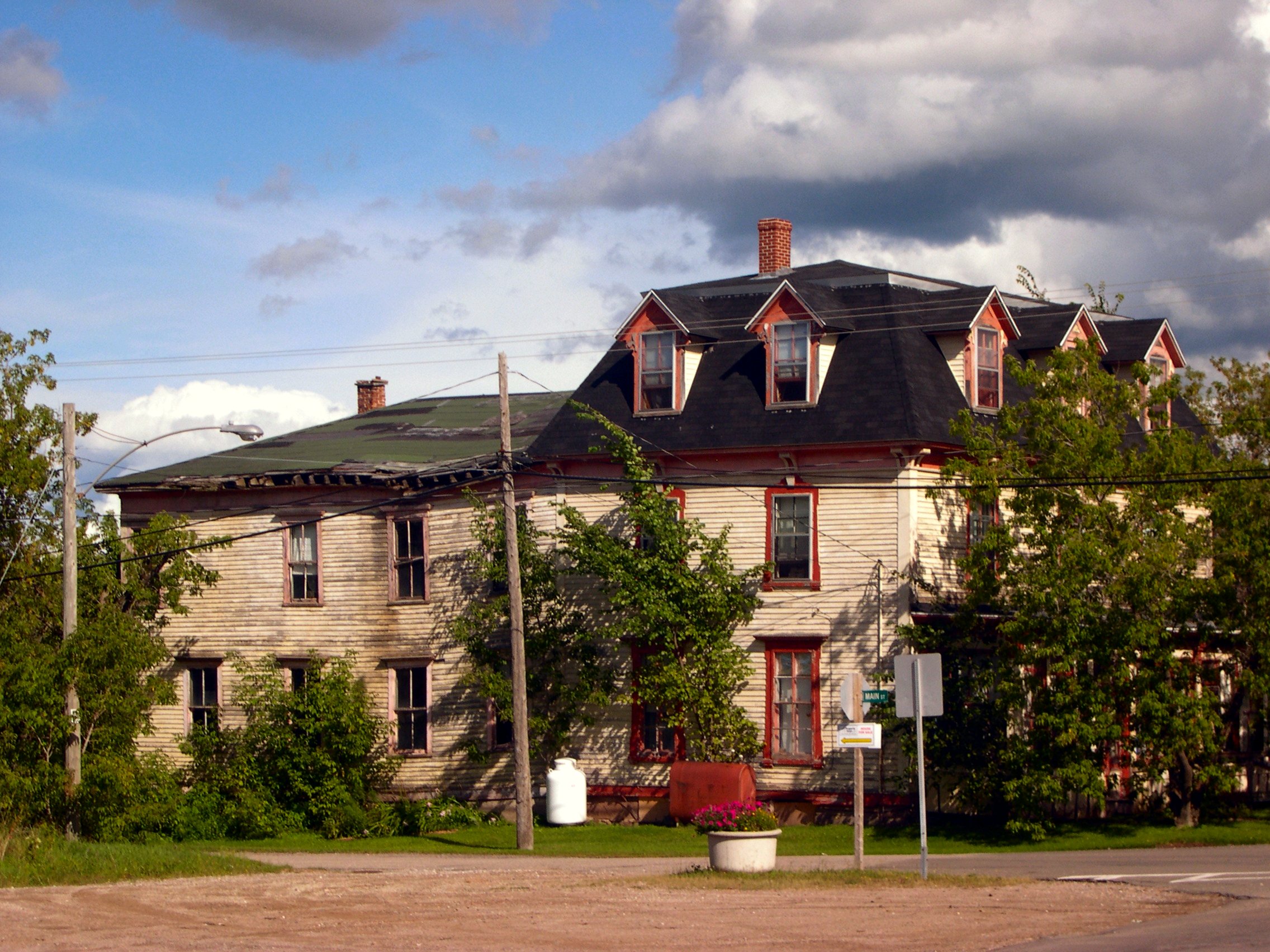
Haunted House (2)

Shambles.

A farm dinner experience.

Drive Home to NB from PEI

Snowy mist.
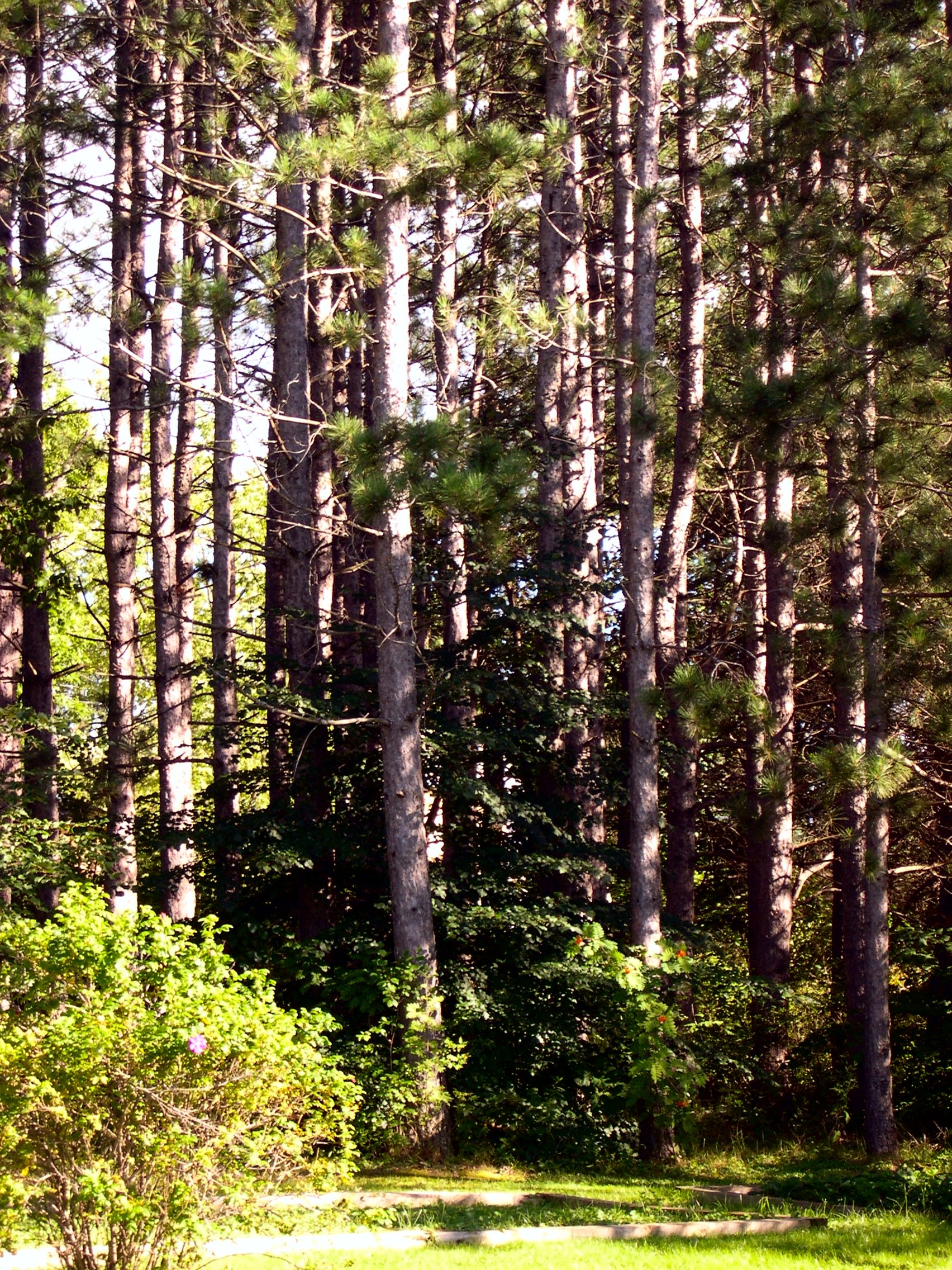
Town Forest

Cornhill Nursery
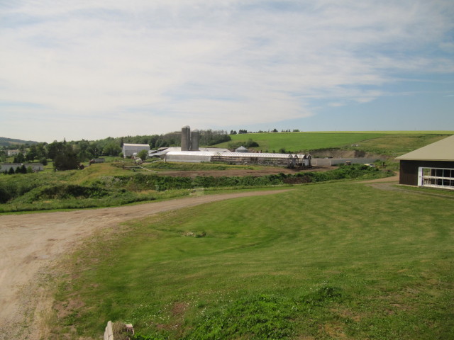
Waldow Farms

Country Harvest

This old barn.
Topographic Map of Mannhurst Rd, Mannhurst, NB E4Z 5V5, Canada
Find elevation by address:

Places near Mannhurst Rd, Mannhurst, NB E4Z 5V5, Canada:
E4z 3s1
Baseline Rd, Glenvale, NB E4Z 2Z7, Canada
Buckley Settlement Rd, Anagance, NB E4Z 1B8, Canada
Havelock
5 Intervale Rd, Intervale, NB E4Z 4X7, Canada
E4z 1c1
Anagance
9 Steeves Settlement Rd
9 Steeves Settlement Rd
9 Steeves Settlement Rd
9 Steeves Settlement Rd
210 Blakney Rd
Killam Rd, Salisbury, NB E4Z, Canada
Harper Settlement Rd, Anagance, NB E4Z 1G2, Canada
73 Davidson Rd
Petitcodiac
NB-, Salisbury, NB E4Z, Canada
Portage Vale
34 Sproul Ln
Green Rd, Elgin, NB E4Z 6P1, Canada
Recent Searches:
- Elevation of Lytham Ln, Katy, TX, USA
- Elevation of Tater Hill, Oklahoma, USA
- Elevation of NY-, Friendship, NY, USA
- Elevation of 64 Danakas Dr, Winnipeg, MB R2C 5N7, Canada
- Elevation of 4 Vale Rd, Sheffield S3 9QX, UK
- Elevation of Keene Point Drive, Keene Point Dr, Grant, AL, USA
- Elevation of State St, Zanesville, OH, USA
- Elevation of Austin Stone Dr, Haslet, TX, USA
- Elevation of Bydgoszcz, Poland
- Elevation of Bydgoszcz, Poland