Elevation of Manner Lane, Manner Ln, Lebanon, TN, USA
Location: United States > Tennessee > Wilson County > Lebanon >
Longitude: -86.306131
Latitude: 36.2291379
Elevation: 169m / 554feet
Barometric Pressure: 99KPa
Elevation Map:
Satellite Map:
Related Photos:
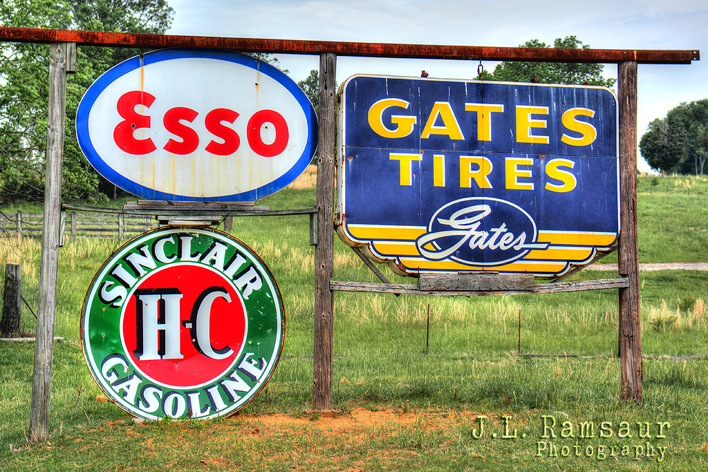
Vintage Signage

Creature of Sugar Flat Rd. - Lebanon, TN

Prime Outlet Mall Lebanon TN

Wilson County, TN Courthouse - Lebanon, TN

God's view of happiness is to be content inward, unaffected by our surrounding conditions #nowwhat @thebridgefellowship

My view for worship this Father's Day. #tbf #techteam #fathersserve

My view at church camp this past week. Not sure i could have asked fur a better view to see God work in kid's lives #wideawake2015

Fall Colors On The Road Less Traveled
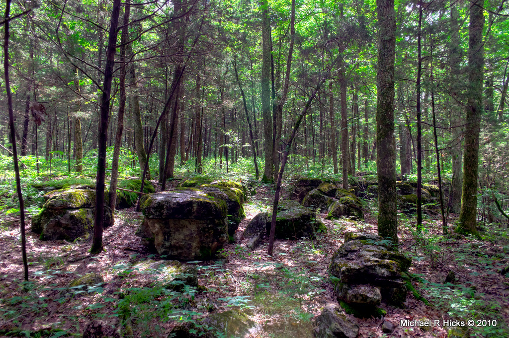
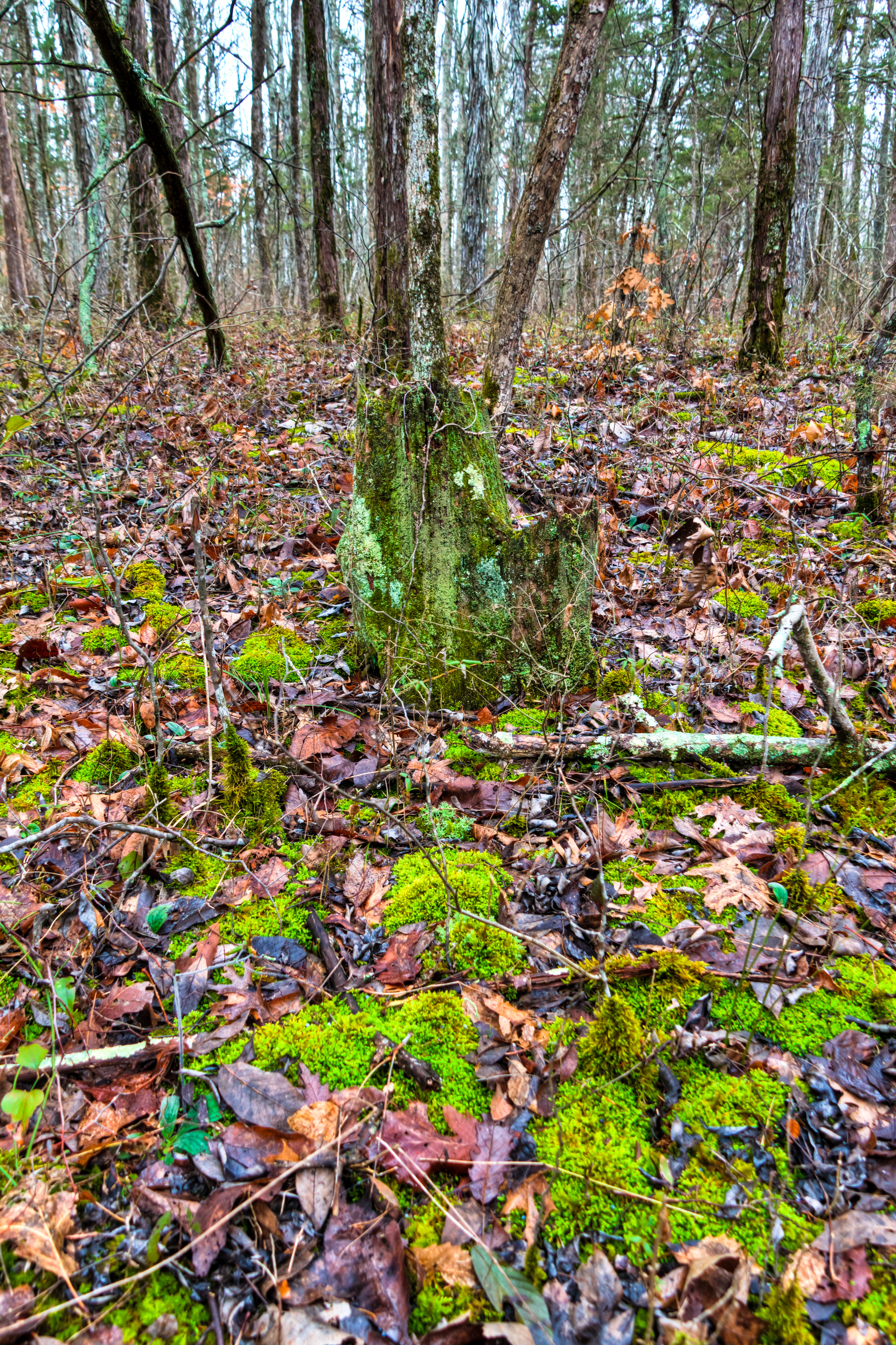
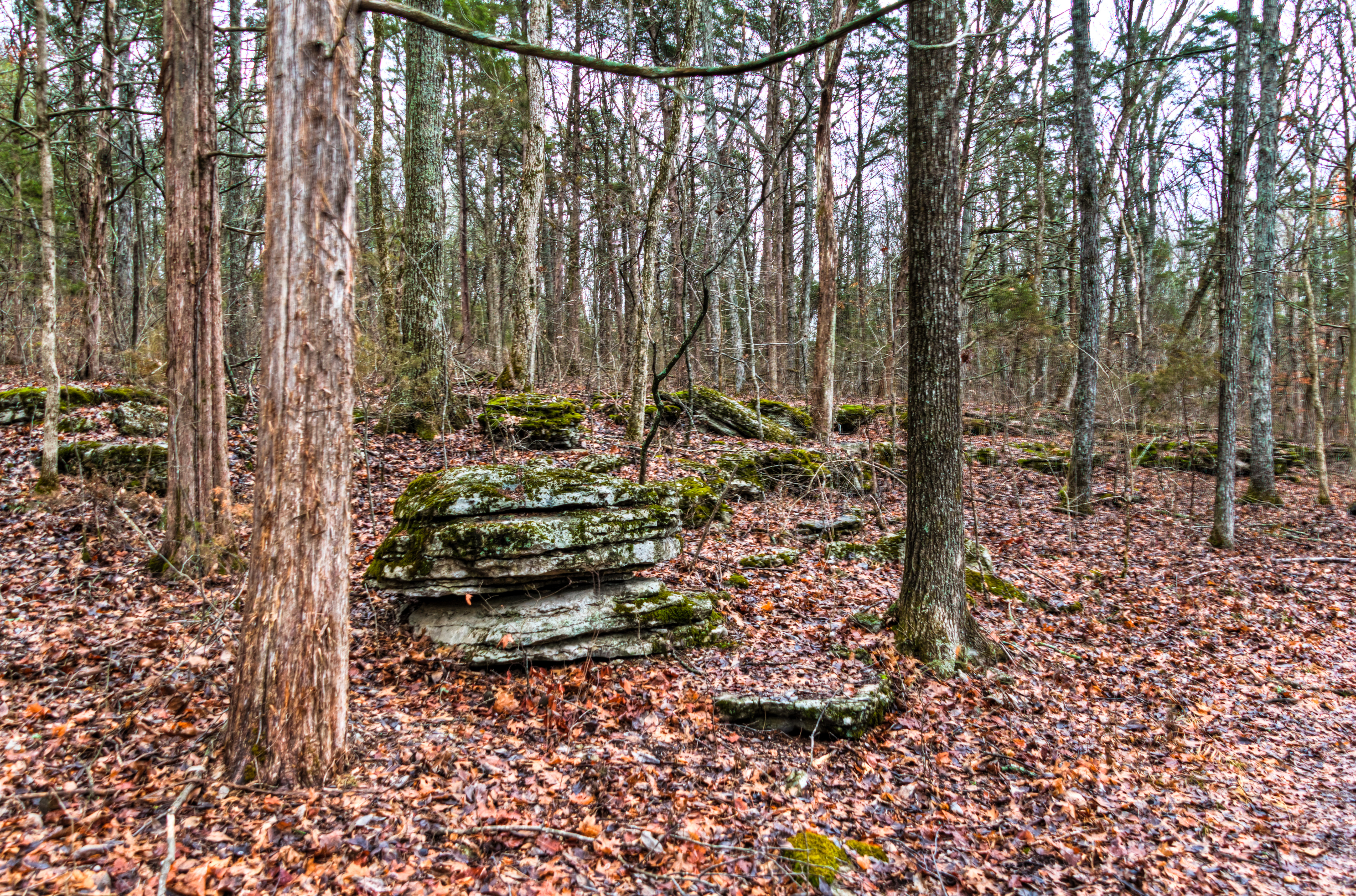
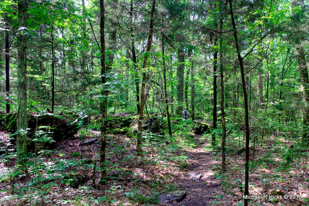
Cedars of Lebanon State Park

fpu_tmp_1376675380.0435_bc30cb

Cedars of Lebanon State Park
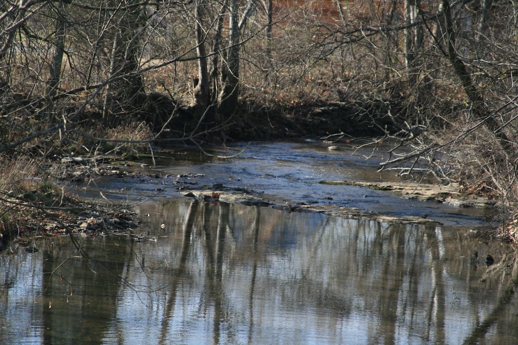
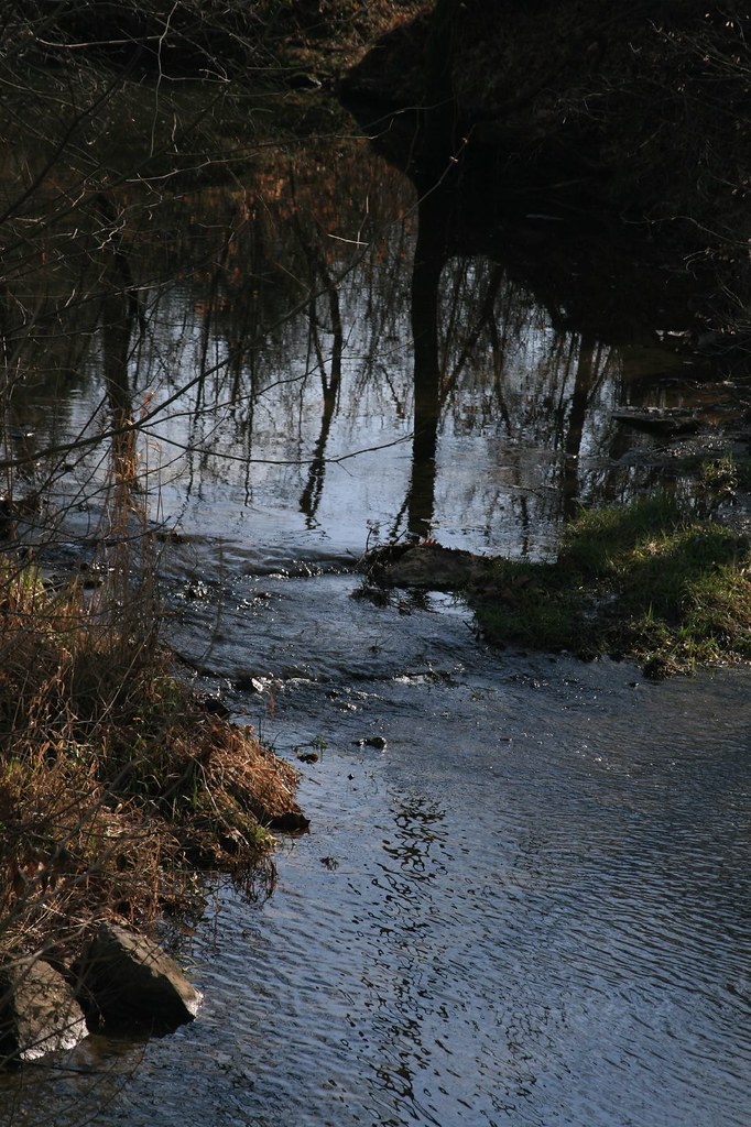
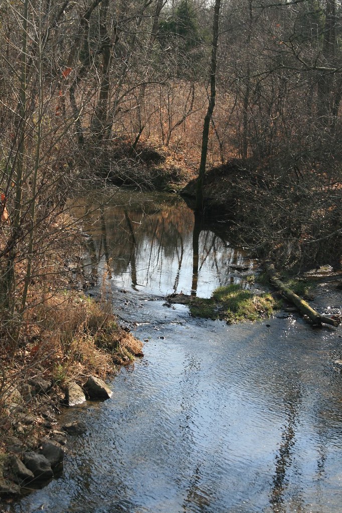
Still Waters Reflection
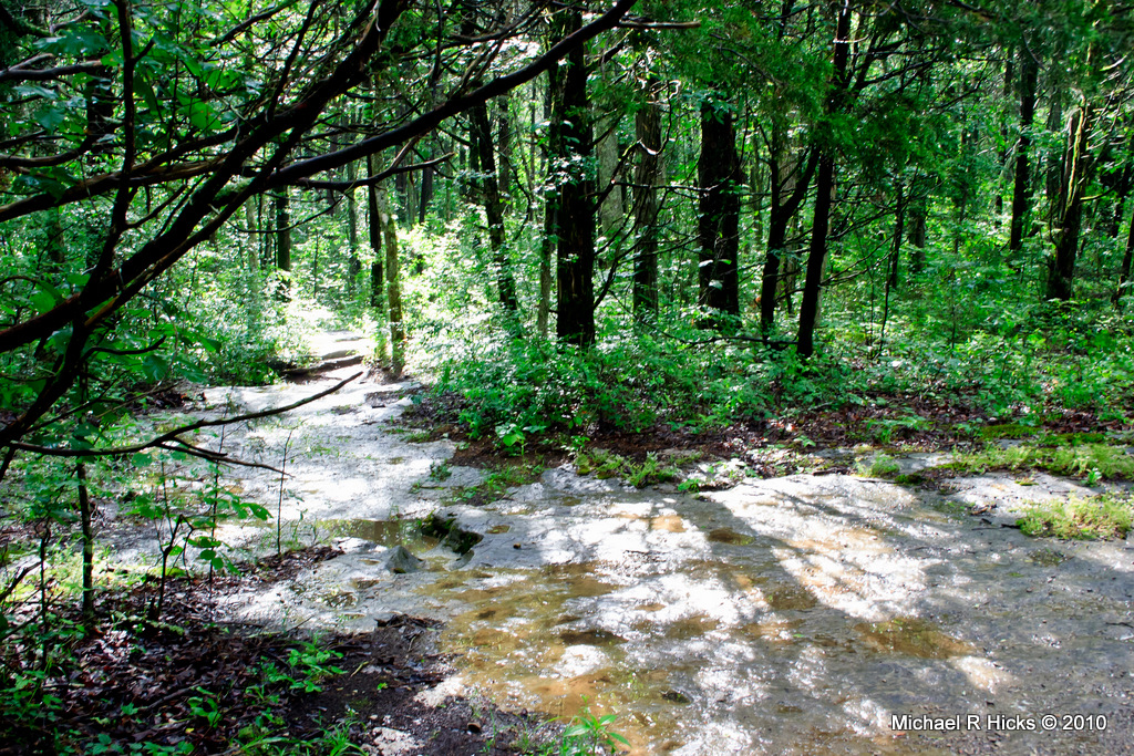
Cedars of Lebanon State Park

Gallatin/Sumner County TN

Couldn't help but get this off Pinterest. Too true for us southern belles #myaoii #grits #southernbelle
Cedars of Lebanon State Park
Rt. Fork
Cedars of Lebanon State Park

Cedars of Lebanon State Park
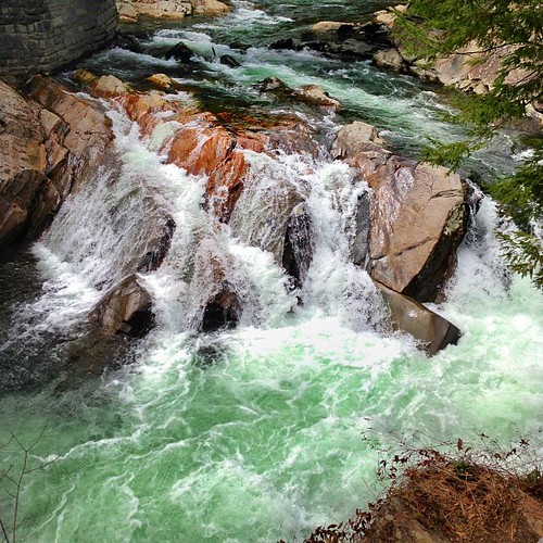
The Sinks The king's heart is in the hand of the Lord, as the rivers of water: he turneth it whithersoever he will. (Proverbs 21:1 KJV) #verseft #verse #nature

Friday Night Lights at Sunset
Cedars of Lebanon State Park
Left Fork
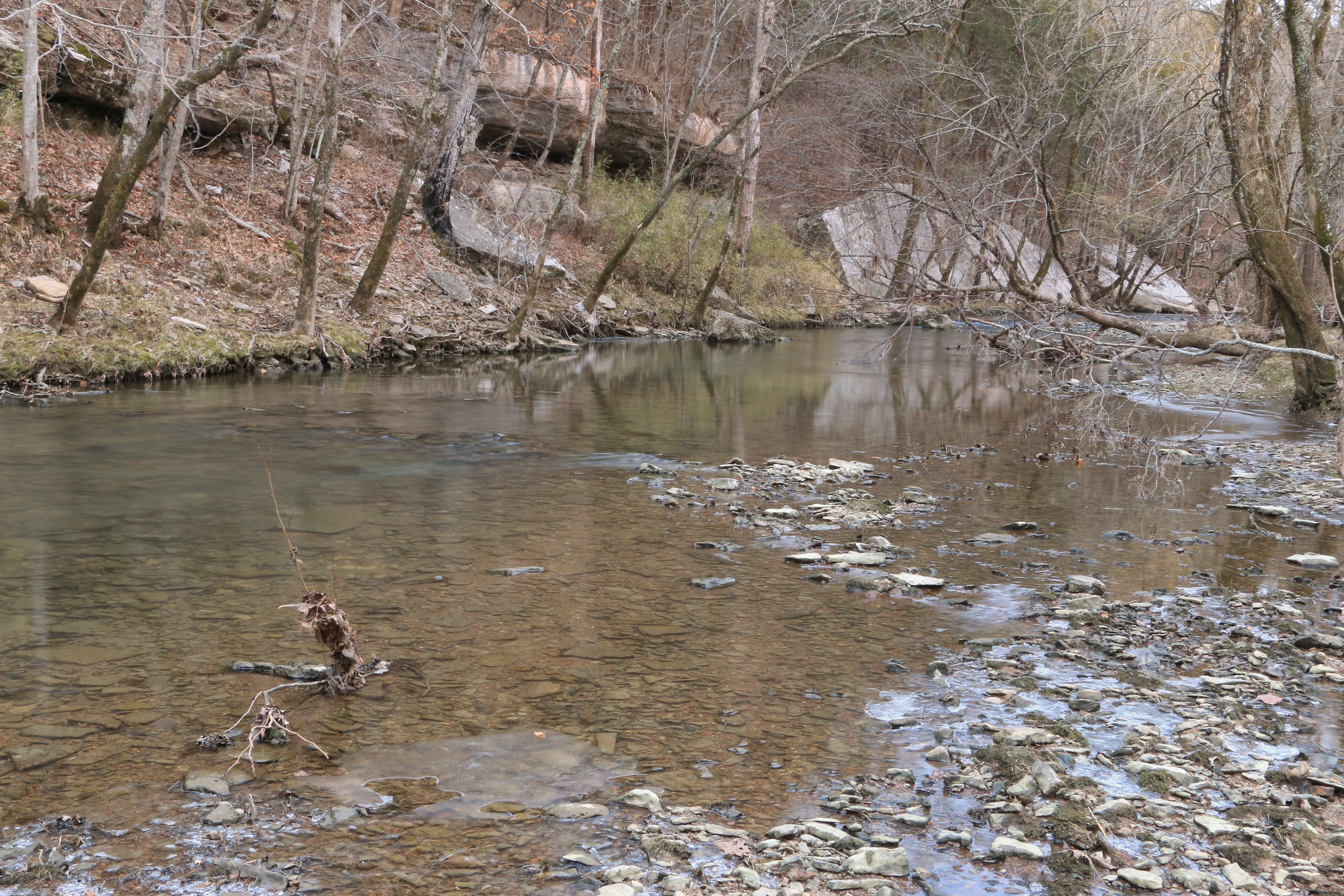
Spring Creek, Sellars Farm State Archaeological Area, Wilson County, Tennessee 1

MTC Jamboree 2010-- Millitary
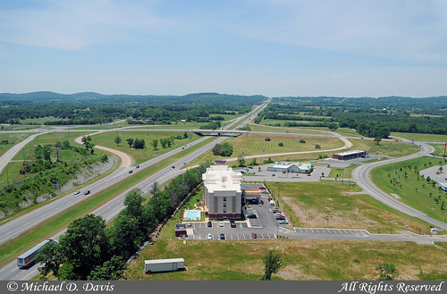
Interstate 40 West

MTC Jamboree 2010-- Millitary

MTC Jamboree 2010-- Millitary
Topographic Map of Manner Lane, Manner Ln, Lebanon, TN, USA
Find elevation by address:

Places near Manner Lane, Manner Ln, Lebanon, TN, USA:
710 N Greenwood Ext
719 Lake St
404 Oakdale Dr
Saddlebrook Senior Apartments
1657 Hartsville Pike
375 Vance Ln
Coles Ferry Pike, Lebanon, TN, USA
109 Lexington Dr
2026 Arlington Rd
631 Five Oaks Blvd
4576 Old Hartsville Pike
4505 Old Hartsville Pike
4595 Old Hartsville Pike
4565 Old Hartsville Pike
4621 Old Hartsville Pike
Hunters Point Pike, Lebanon, TN, USA
140 Lake Wood Rd
408 Phillips Rd
535 Moore Rd
1901 Old Rome Pike
Recent Searches:
- Elevation of Corso Fratelli Cairoli, 35, Macerata MC, Italy
- Elevation of Tallevast Rd, Sarasota, FL, USA
- Elevation of 4th St E, Sonoma, CA, USA
- Elevation of Black Hollow Rd, Pennsdale, PA, USA
- Elevation of Oakland Ave, Williamsport, PA, USA
- Elevation of Pedrógão Grande, Portugal
- Elevation of Klee Dr, Martinsburg, WV, USA
- Elevation of Via Roma, Pieranica CR, Italy
- Elevation of Tavkvetili Mountain, Georgia
- Elevation of Hartfords Bluff Cir, Mt Pleasant, SC, USA