Elevation of Manjeri, Kerala, India
Location: India > Kerala > Malappuram >
Longitude: 76.1198972
Latitude: 11.1202668
Elevation: 46m / 151feet
Barometric Pressure: 101KPa
Elevation Map:
Satellite Map:
Related Photos:

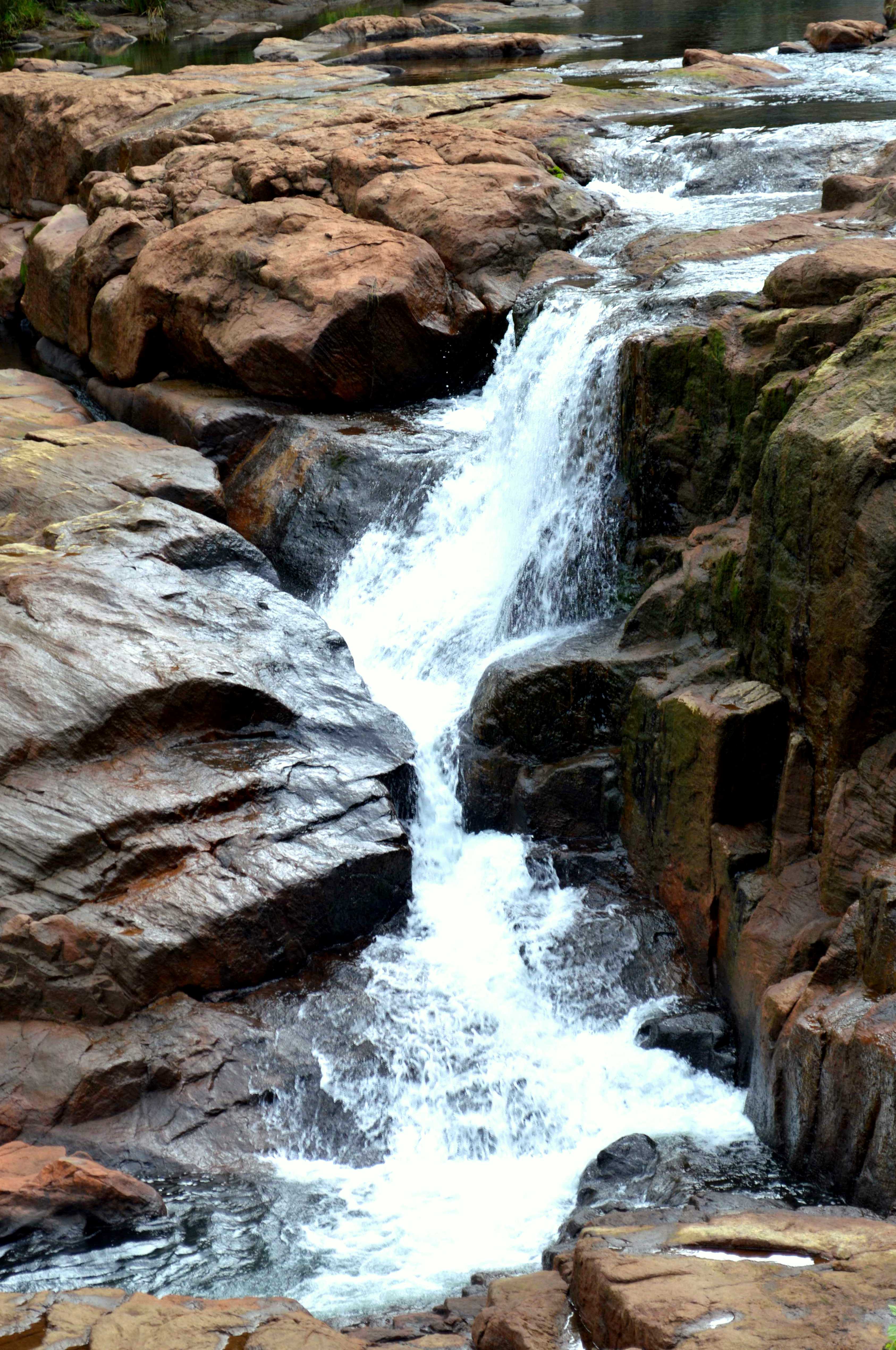
Vellapokkam 2009

Paddy leaves with remains from the previous night's rain
Pristine water

My son

My son

My son

My son

My son

My son

My son

My son

My son

My son

My son

My son

My son

My son

My son

My son

My son

My son

My son

My son

My son
Topographic Map of Manjeri, Kerala, India
Find elevation by address:

Places near Manjeri, Kerala, India:
Malappuram
Kotta Mala
Malappuram
Perintalmanna
Kalpakanchery
Mambra Parammal Road
Valavannur
Karinkallathani
Marayamangalam
Kottoppadam
Kerala
Vallapuzha
Pallikkunnu
Ongallur
Pallikkunnu Post Office
Chamravattom Bridge Junction
Chamravattom Bridge
Chamravattom
Padavayal
Mukurthi National Park
Recent Searches:
- Elevation of Old Clairton Rd, Jefferson Hills, PA, USA
- Elevation of st Ave SE, Lisbon, ND, USA
- Elevation of Steamboat Island Road Northwest, Olympia, WA, USA
- Elevation of Kootenai Trail Rd, Bonners Ferry, ID, USA
- Elevation of Hickory Blvd, Bonita Springs, FL, USA
- Elevation of Lalagbene, Bayelsa, Nigeria
- Elevation of Ogbosuware Health Centre, 2WWJ+4PJ, Lalagbene, Bayelsa, Nigeria
- Elevation of Duckhorn Ct, Las Vegas, NV, USA
- Elevation of Garretts Run Rd, Ford City, PA, USA
- Elevation of N WI-55, Freedom, WI, USA