Elevation of Manjare, Maharashtra, India
Location: India > Maharashtra > Kolhapur >
Longitude: 73.8169099
Latitude: 16.831076
Elevation: 602m / 1975feet
Barometric Pressure: 94KPa
Elevation Map:
Satellite Map:
Related Photos:

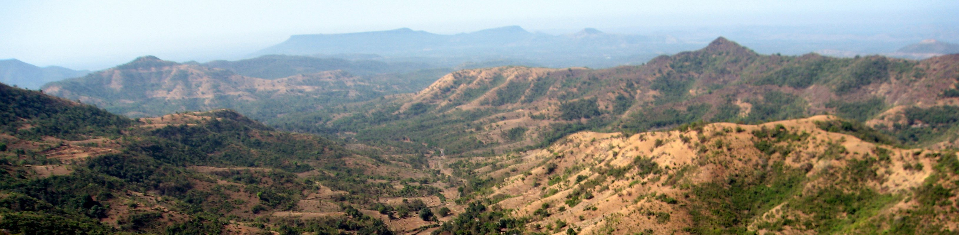
... a view from Kokan Kada point

... a view from Kokan Kada point

... a view from Kokan Kada point

... viewing Sakharpa town (at far end)

... viewing Kasari Reservoir

... Manoli Dam Reservoir

... the Pawan Khind

Along India's National Highway 204

... flowers of grass

Along India's National Highway 204

... the Pawan Khind

Along India's National Highway 204

... bridge over Kasari River
Along India's National Highway 204

... towards Kemburne Wadi
Topographic Map of Manjare, Maharashtra, India
Find elevation by address:

Places near Manjare, Maharashtra, India:
Shembavane
Yelwan Jugai
Anuskura
Kante
Barki
Gavadi
Burambal
Panundre
Pangari Kh.
Karanjfen
Shirale Tarf Malkapur
Ambarde
Kolik
Patpanhala
Parkhandale
Kisrul
Porle Tarf Borgaon
Pombre
Porle T.borgaon
Desaiwadi
Recent Searches:
- Elevation of S Layton Cir W, Layton, UT, USA
- Elevation of F36W+3M, Mussoorie, Uttarakhand, India
- Elevation of Fairland Ave, Fairhope, AL, USA
- Elevation of Sunset Dr, Richmond, VA, USA
- Elevation of Grodna District, Hrodna Region, Belarus
- Elevation of Hrodna, Hrodna Region, Belarus
- Elevation of Sandia Derby Estates, Tijeras, NM, USA
- Elevation of 23 Sunrise View Ct, Tijeras, NM, USA
- Elevation of Lytham Ln, Katy, TX, USA
- Elevation of Tater Hill, Oklahoma, USA