Elevation of Manitowaning, ON P0P, Canada
Location: Canada > Ontario > Manitoulin District > Assiginack >
Longitude: -81.813685
Latitude: 45.737315
Elevation: 200m / 656feet
Barometric Pressure: 99KPa
Elevation Map:
Satellite Map:
Related Photos:
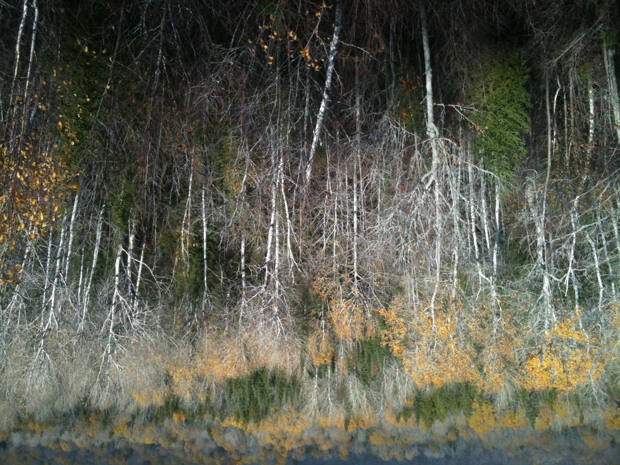
Manitoulin Island
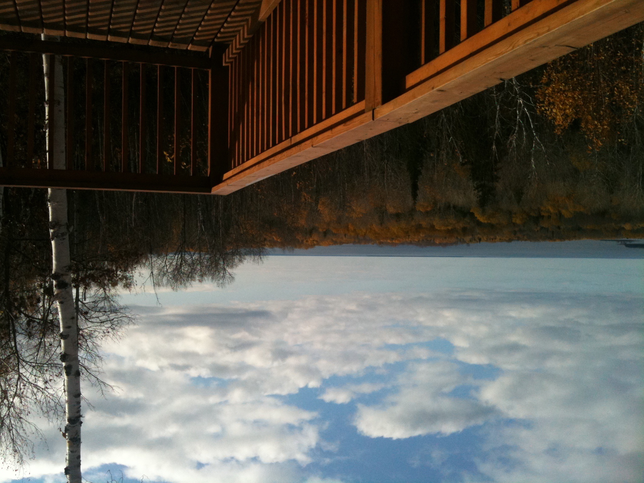
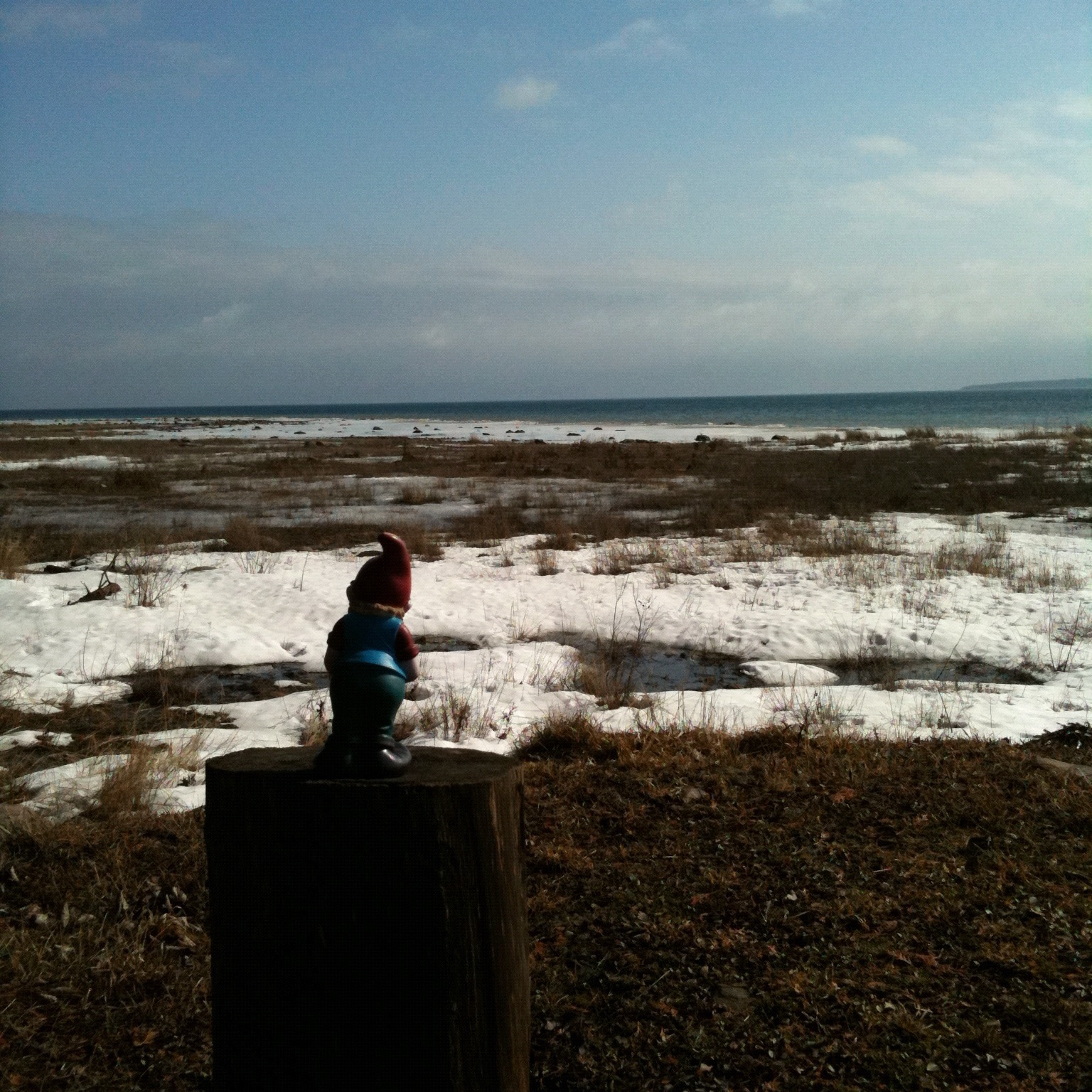
Great views
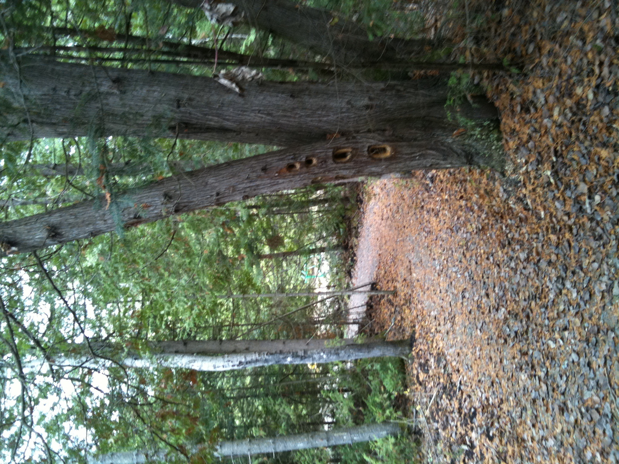
Bebamikawe Memorial Trail
Bebamikawe Memorial Trail
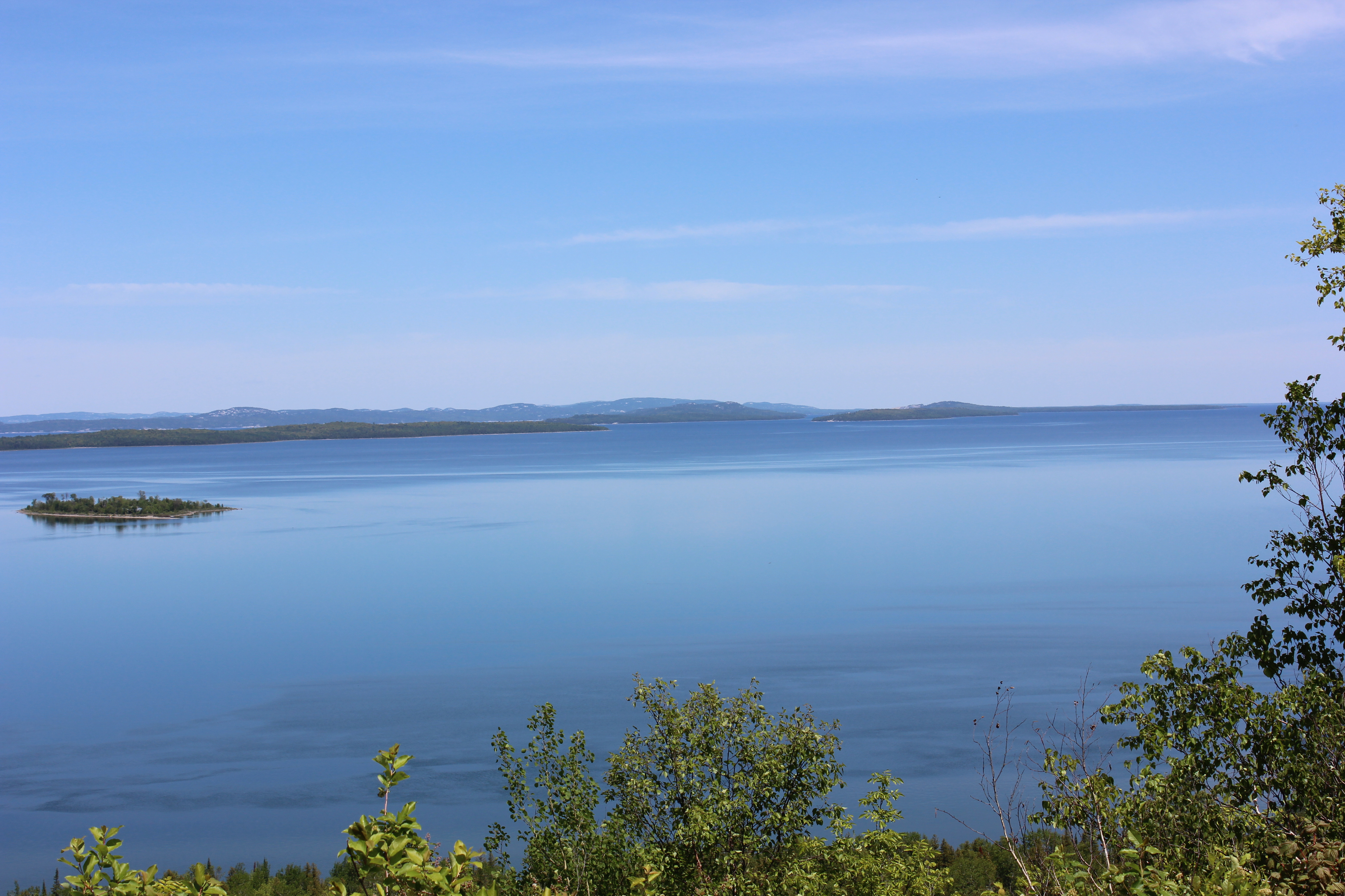
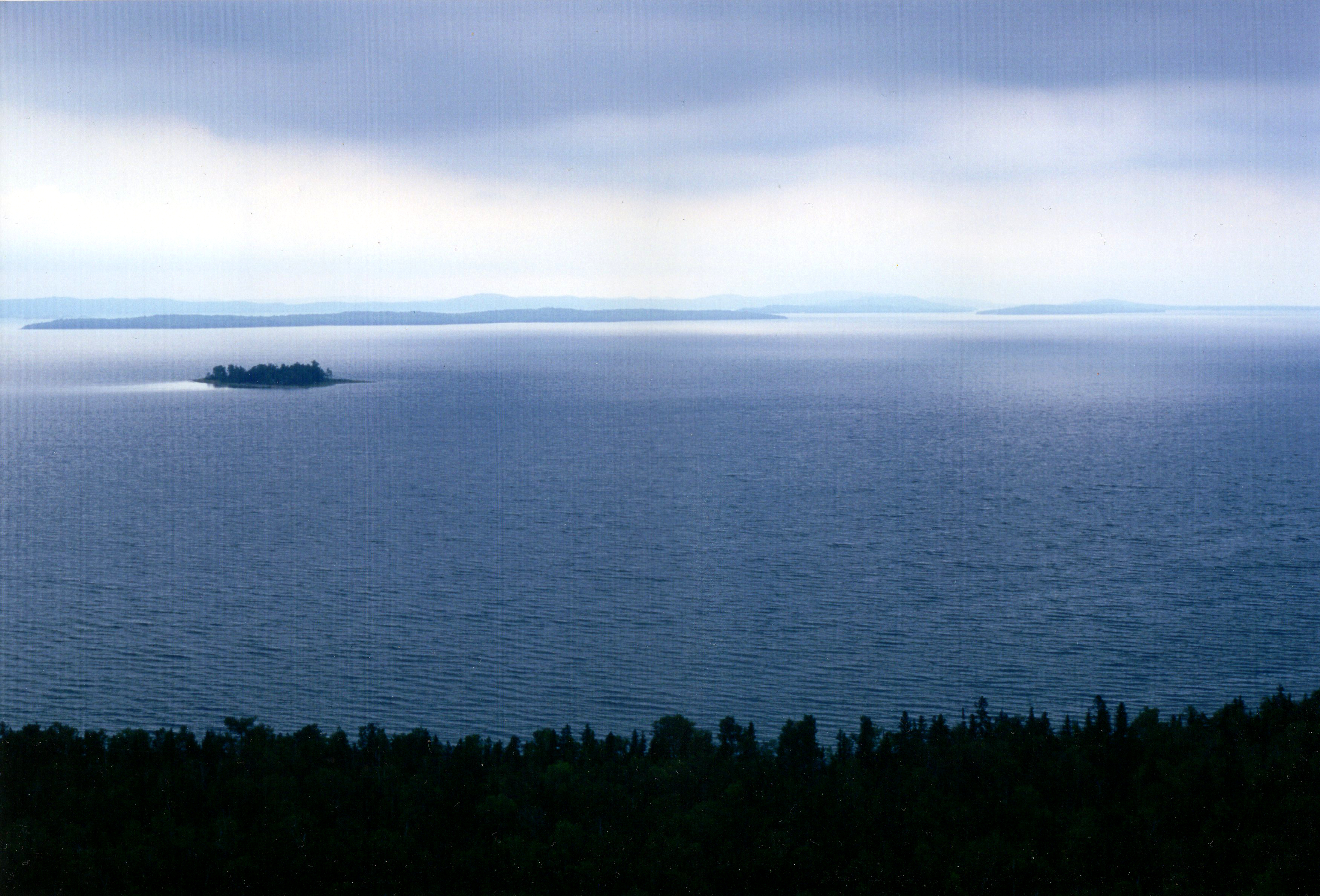
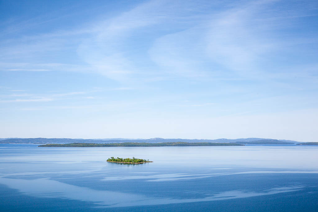
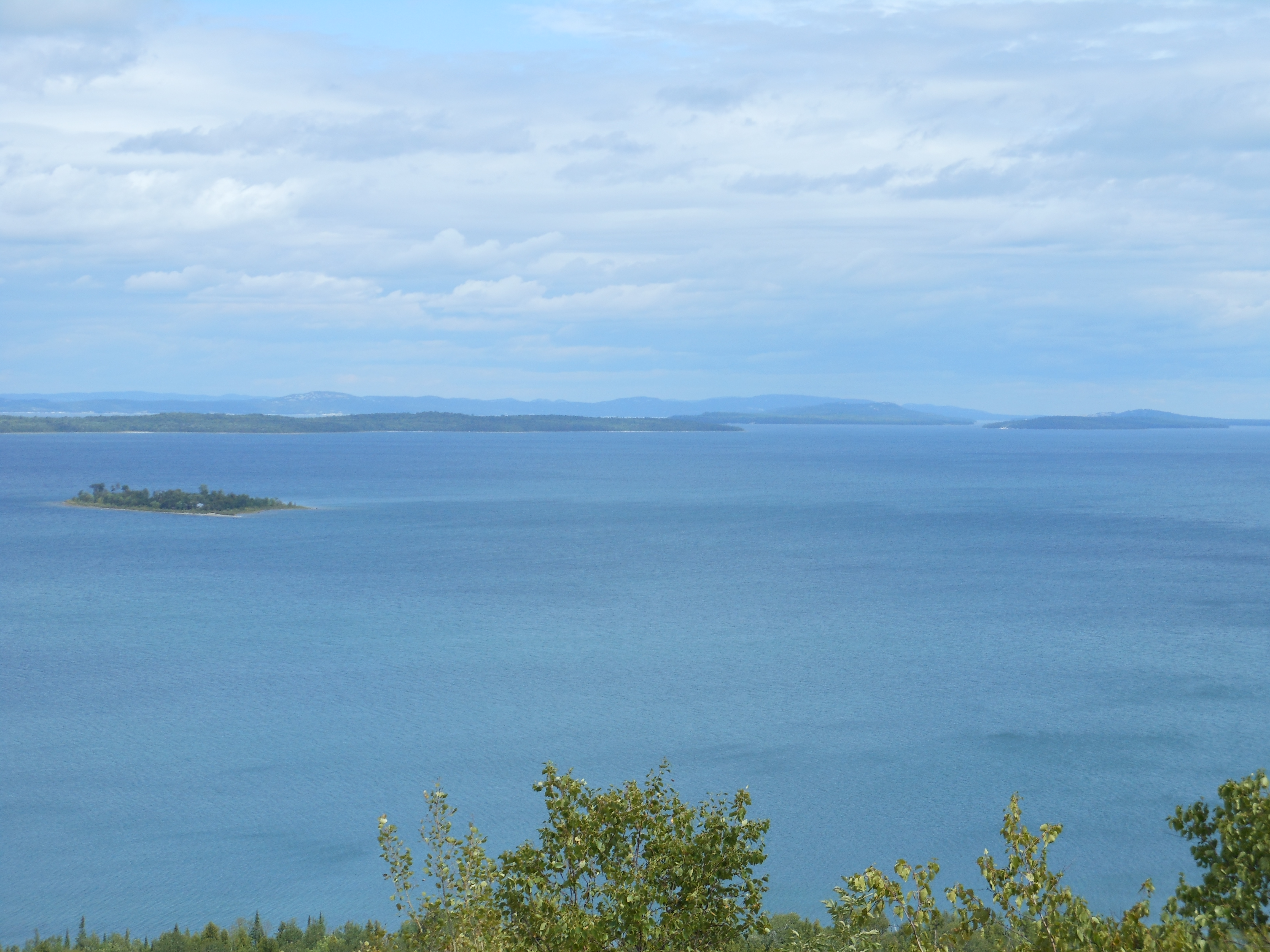
View from Ten-mile Point, Manitoulin Island
View from Ten-mile Point, Manitoulin Island

Bemamikawe Memorial Trail
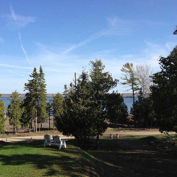
Enjoying the view from my Home Business Office and reading the new Eric Worre "Go Pro" book. Life sure is rough.... NOT!
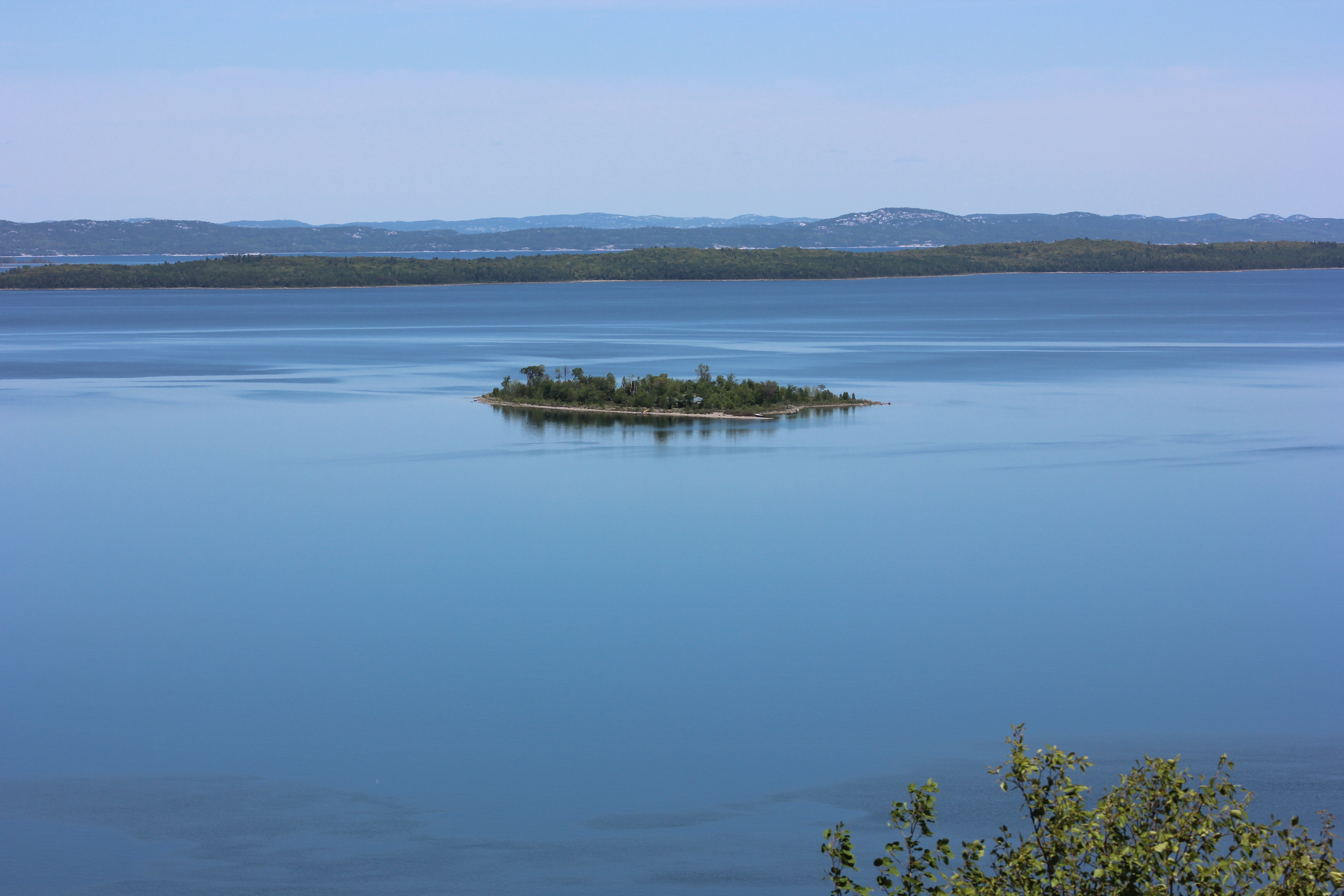
View from Ten-mile Point, Manitoulin Island
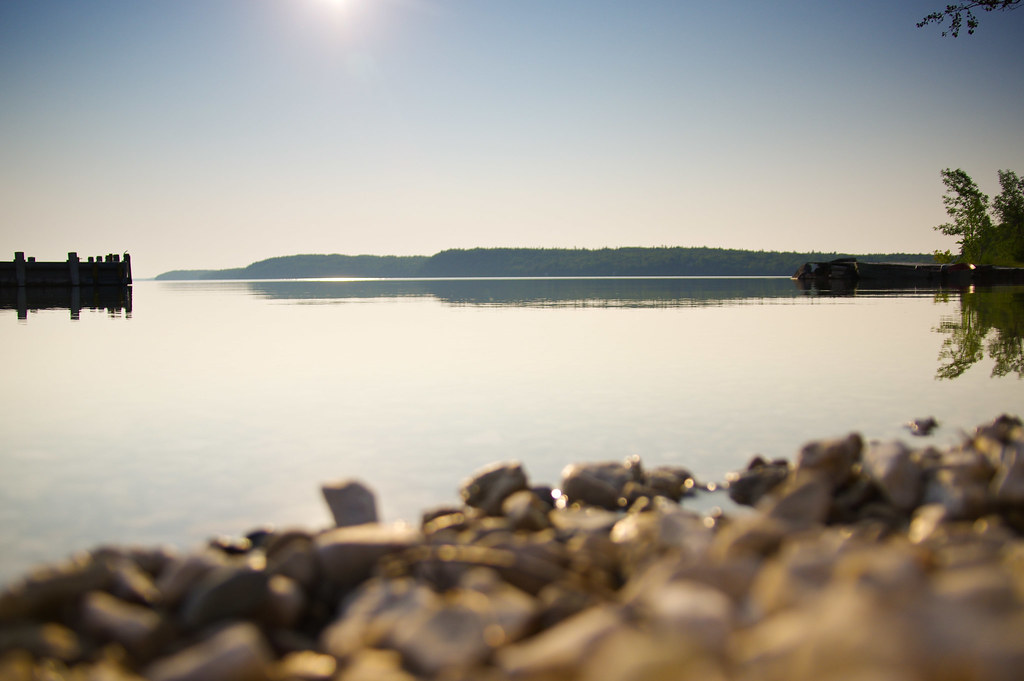
Bebamikawe Memorial Trail

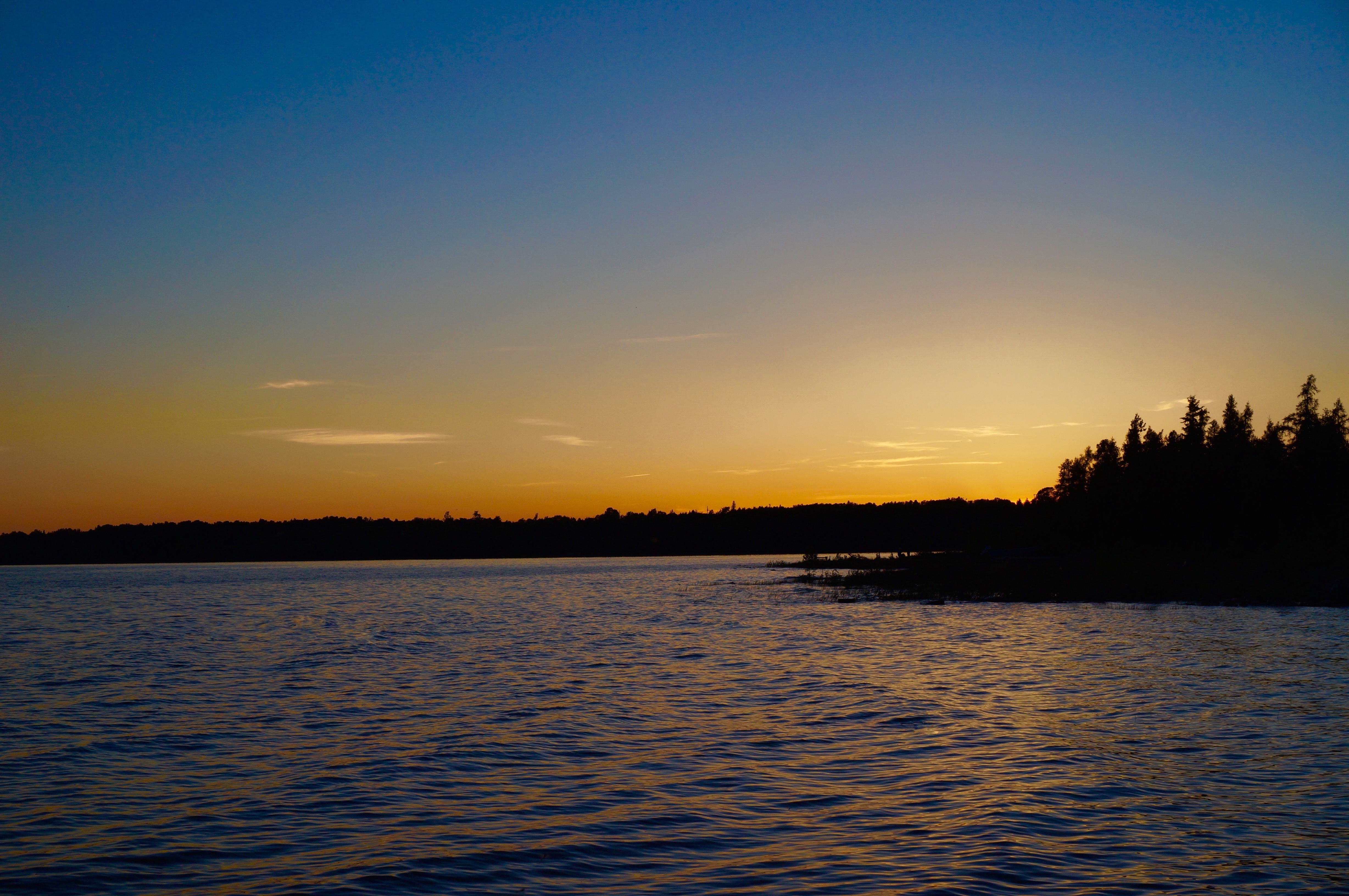
Manitoulin Sunset
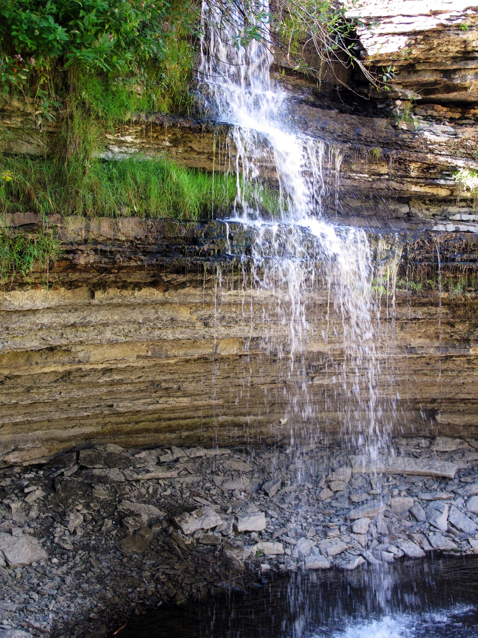
High Falls 1

Cottage point
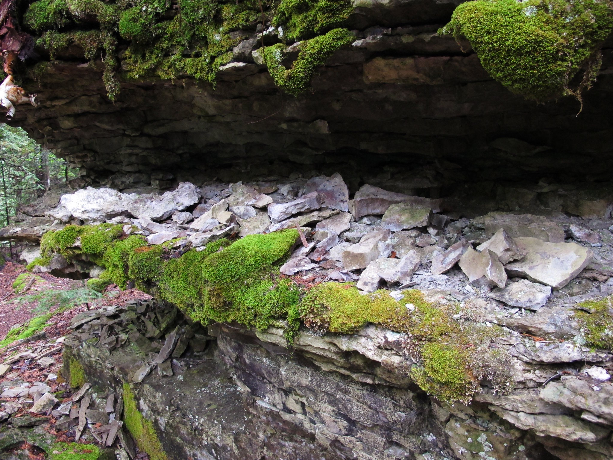
Fossil Hill 2
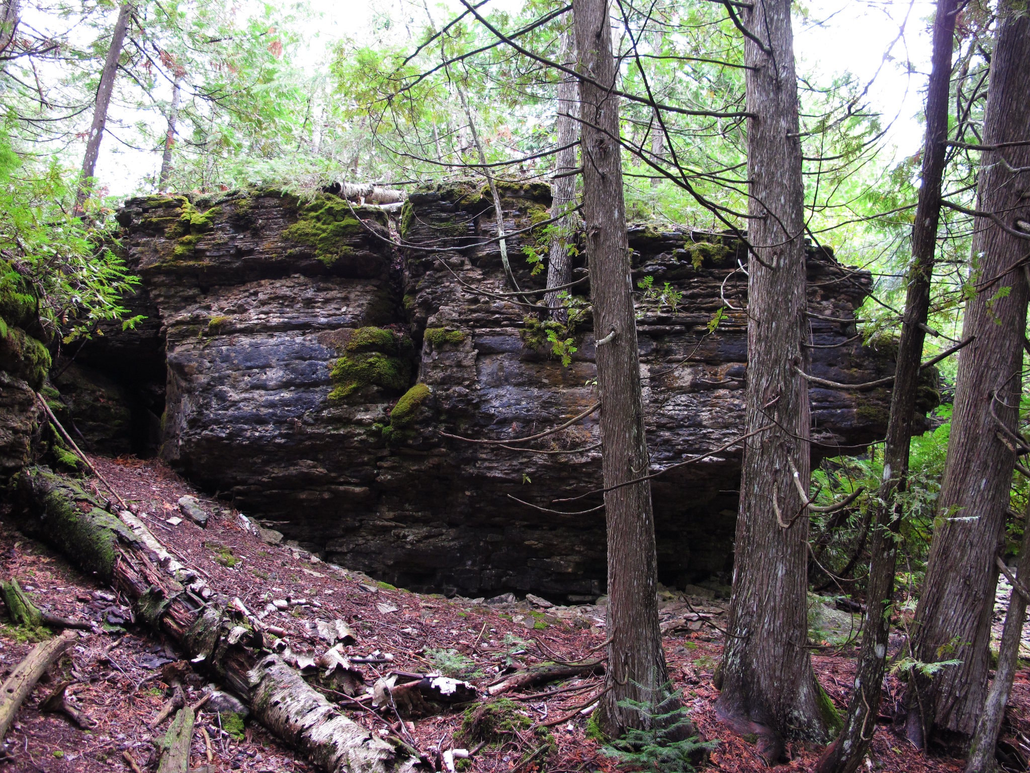
Fossil Hill 1

Wikwemikong Marina.

High falls, Manitoulin Island
manitoulin island
Loon Island
Cottage sunset
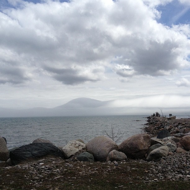
Fog rolling in...
I must go down to the sea again...
Bebamikawe Memorial Trail
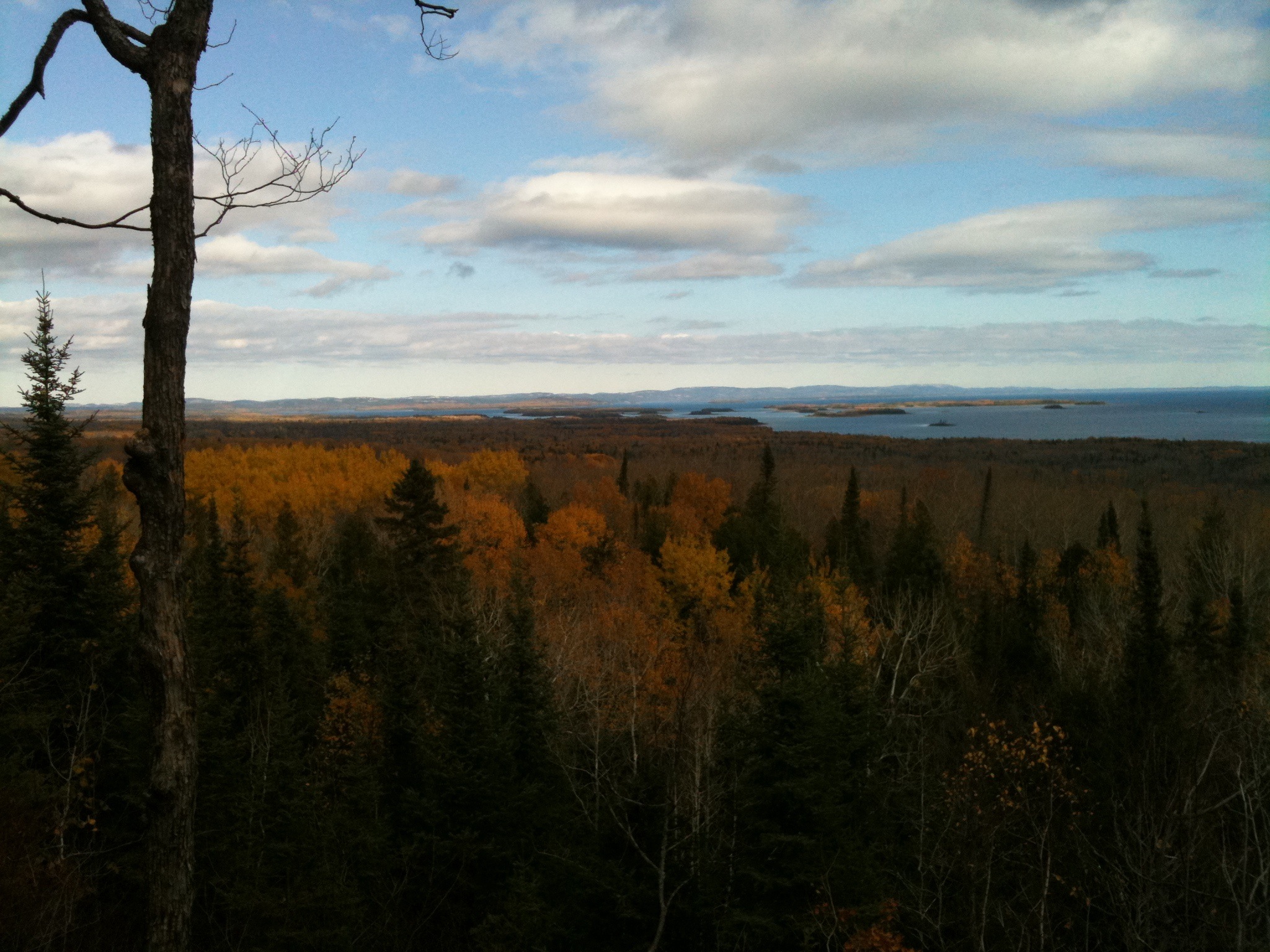
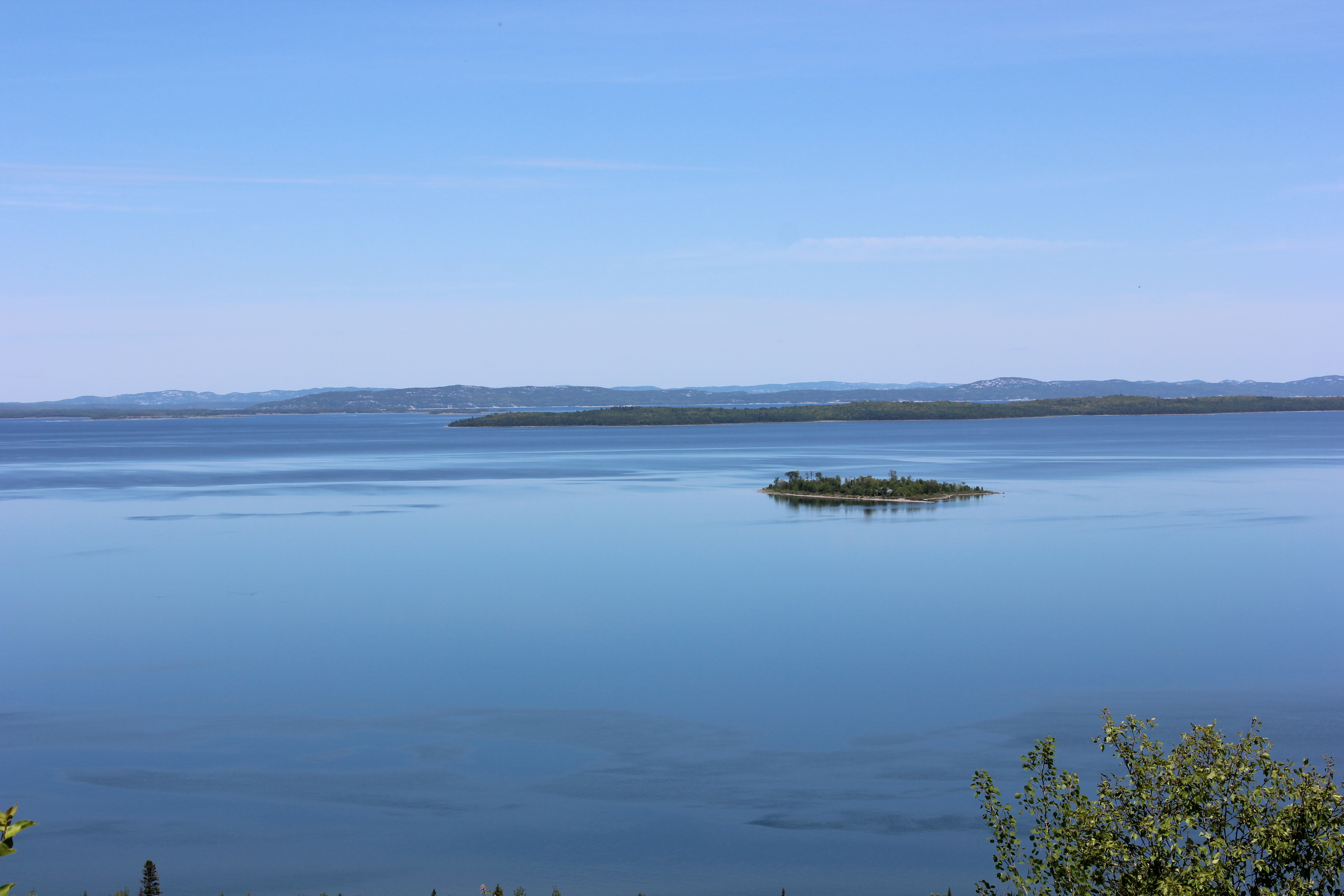
Ten Mile Point
Topographic Map of Manitowaning, ON P0P, Canada
Find elevation by address:

Places near Manitowaning, ON P0P, Canada:
Manitowaning
Cardwell St, Manitowaning, ON P0P 1N0, Canada
Buzwah Rd, Wikwemikong, ON P0P 2J0, Canada
Assiginack
New England Rd, Manitowaning, ON P0P 1N0, Canada
Wikwemikong
557a
James Bay
Pepper Point Rd, Sheguiandah, ON P0P 1W0, Canada
Bebamikawe Memorial Trail Head
Rabbit Island Rd, Wikwemikong, ON P0P 2J0, Canada
Bidwell Rd, Manitowaning, ON P0P 1N0, Canada
Northeastern Manitoulin And The Islands
Lakeshore Rd, Wikwemikong, ON P0P 2J0, Canada
2nd Concession Rd, Gore Bay, ON P0P 1H0, Canada
Oakcliff Dr N, Mindemoya, ON P0P 1S0, Canada
Tehkummah
Manitoulin Island
Morphets Side Road
21037 On-6
Recent Searches:
- Elevation of Corso Fratelli Cairoli, 35, Macerata MC, Italy
- Elevation of Tallevast Rd, Sarasota, FL, USA
- Elevation of 4th St E, Sonoma, CA, USA
- Elevation of Black Hollow Rd, Pennsdale, PA, USA
- Elevation of Oakland Ave, Williamsport, PA, USA
- Elevation of Pedrógão Grande, Portugal
- Elevation of Klee Dr, Martinsburg, WV, USA
- Elevation of Via Roma, Pieranica CR, Italy
- Elevation of Tavkvetili Mountain, Georgia
- Elevation of Hartfords Bluff Cir, Mt Pleasant, SC, USA