Elevation of Manitouwadge, ON P0T 2C0, Canada
Location: Canada > Ontario > Thunder Bay District > Manitouwadge > Manitouwadge >
Longitude: -85.829251
Latitude: 49.125056
Elevation: 332m / 1089feet
Barometric Pressure: 97KPa
Elevation Map:
Satellite Map:
Related Photos:
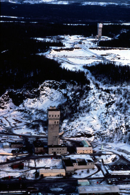
GECO Mine 1976 01
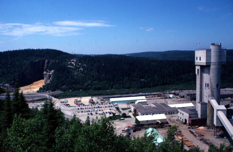
GECO MINE
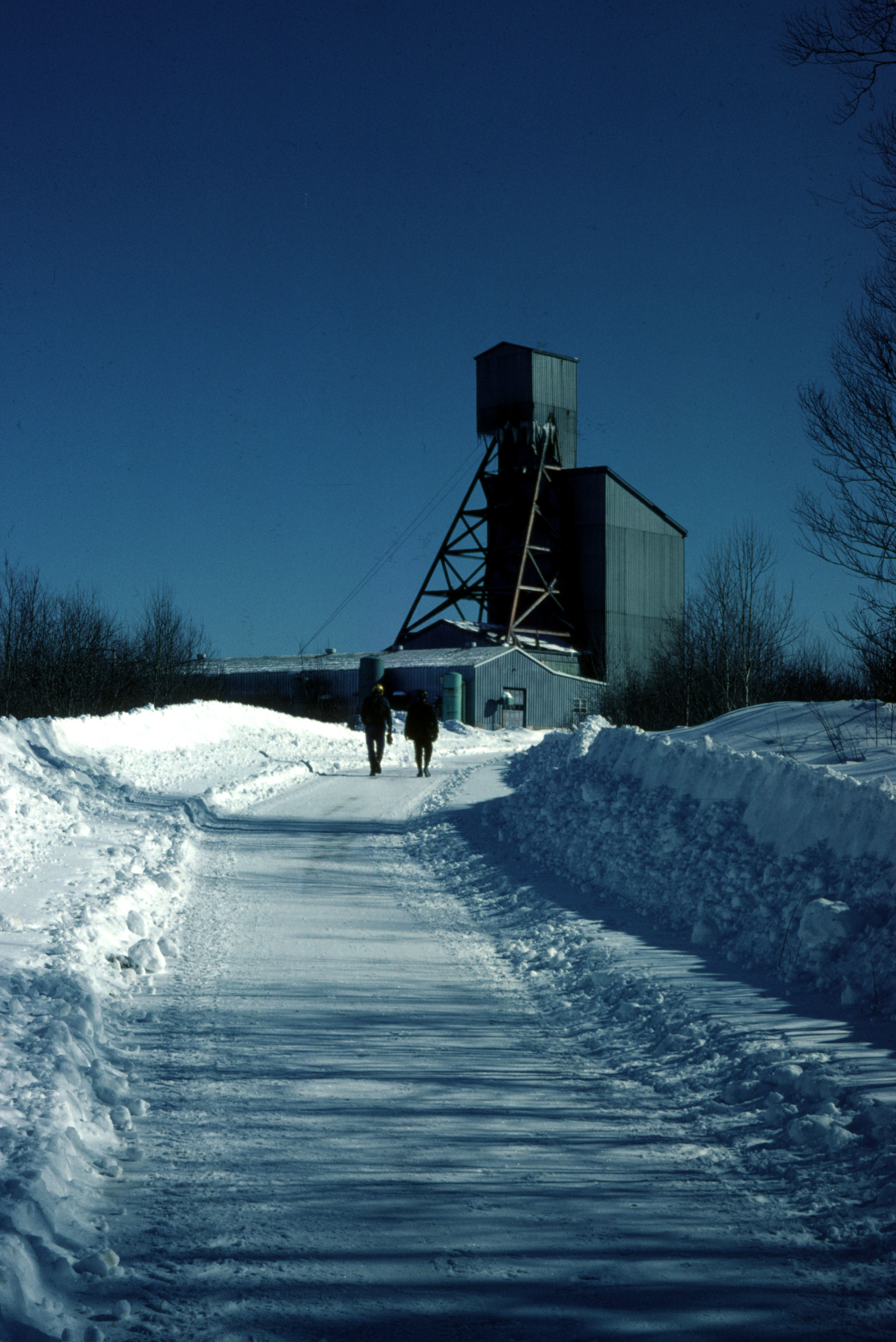
WillechoManitouwadge Feb 1976
333/365
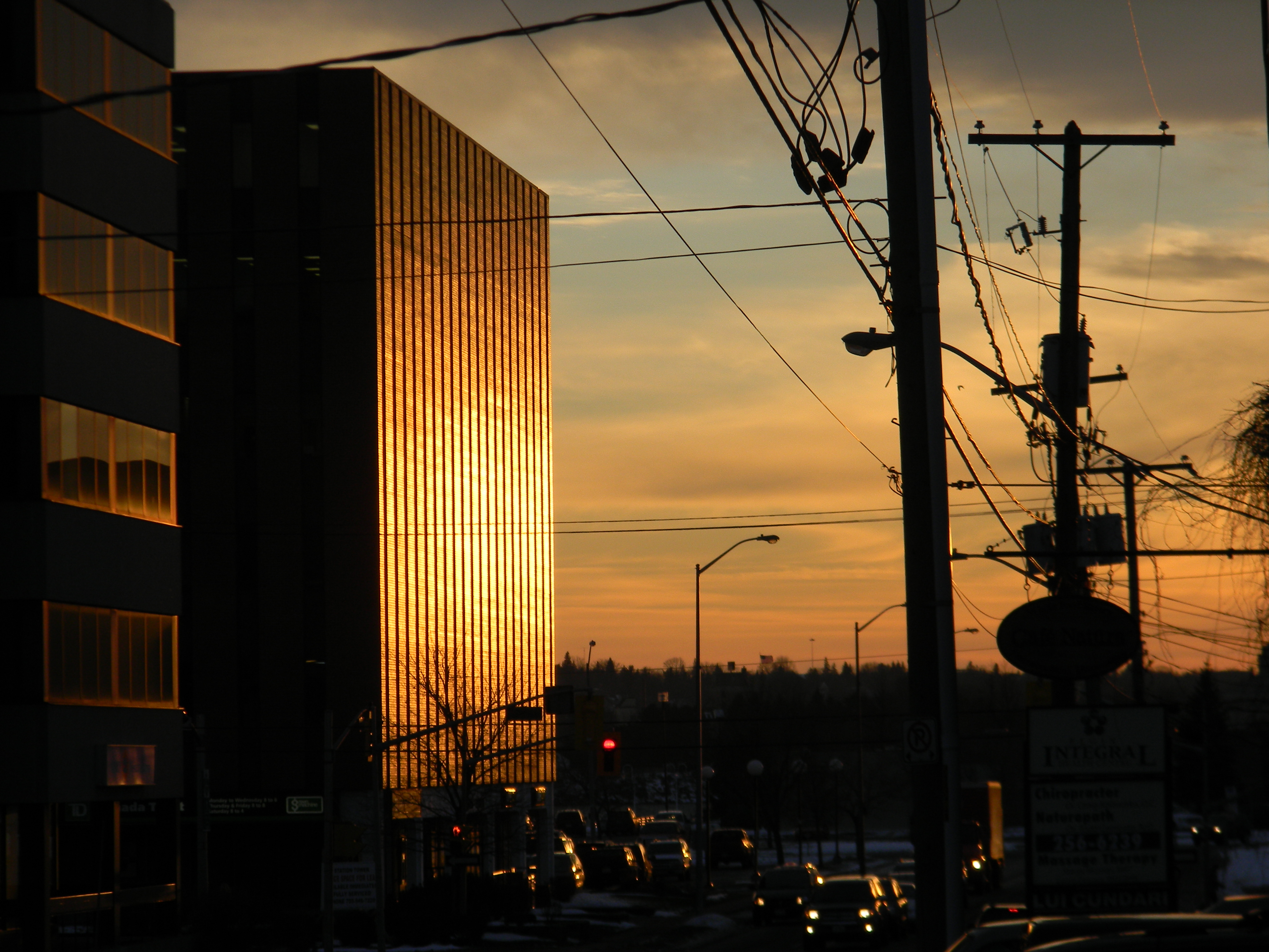
late night ride
Topographic Map of Manitouwadge, ON P0T 2C0, Canada
Find elevation by address:

Places near Manitouwadge, ON P0T 2C0, Canada:
Manitouwadge
Manitouwadge
6 Kinglet Pl
17 Trans-Canada Hwy, Unorganized Thunder Bay District, ON P0T, Canada
13 Birch St
13 Birch St
18 Steedman Dr, Marathon, ON P0T 2E0, Canada
Marathon
Jack Fish
Terrace Bay
P0t 2w0
Terrace Bay
Recent Searches:
- Elevation of N, Mt Pleasant, UT, USA
- Elevation of 6 Rue Jules Ferry, Beausoleil, France
- Elevation of Sattva Horizon, 4JC6+G9P, Vinayak Nagar, Kattigenahalli, Bengaluru, Karnataka, India
- Elevation of Great Brook Sports, Gold Star Hwy, Groton, CT, USA
- Elevation of 10 Mountain Laurels Dr, Nashua, NH, USA
- Elevation of 16 Gilboa Ln, Nashua, NH, USA
- Elevation of Laurel Rd, Townsend, TN, USA
- Elevation of 3 Nestling Wood Dr, Long Valley, NJ, USA
- Elevation of Ilungu, Tanzania
- Elevation of Yellow Springs Road, Yellow Springs Rd, Chester Springs, PA, USA