Elevation of Manila Bay, Philippines
Location: Philippines >
Longitude: 120.757983
Latitude: 14.5188312
Elevation: -31m / -102feet
Barometric Pressure: 102KPa
Elevation Map:
Satellite Map:
Related Photos:
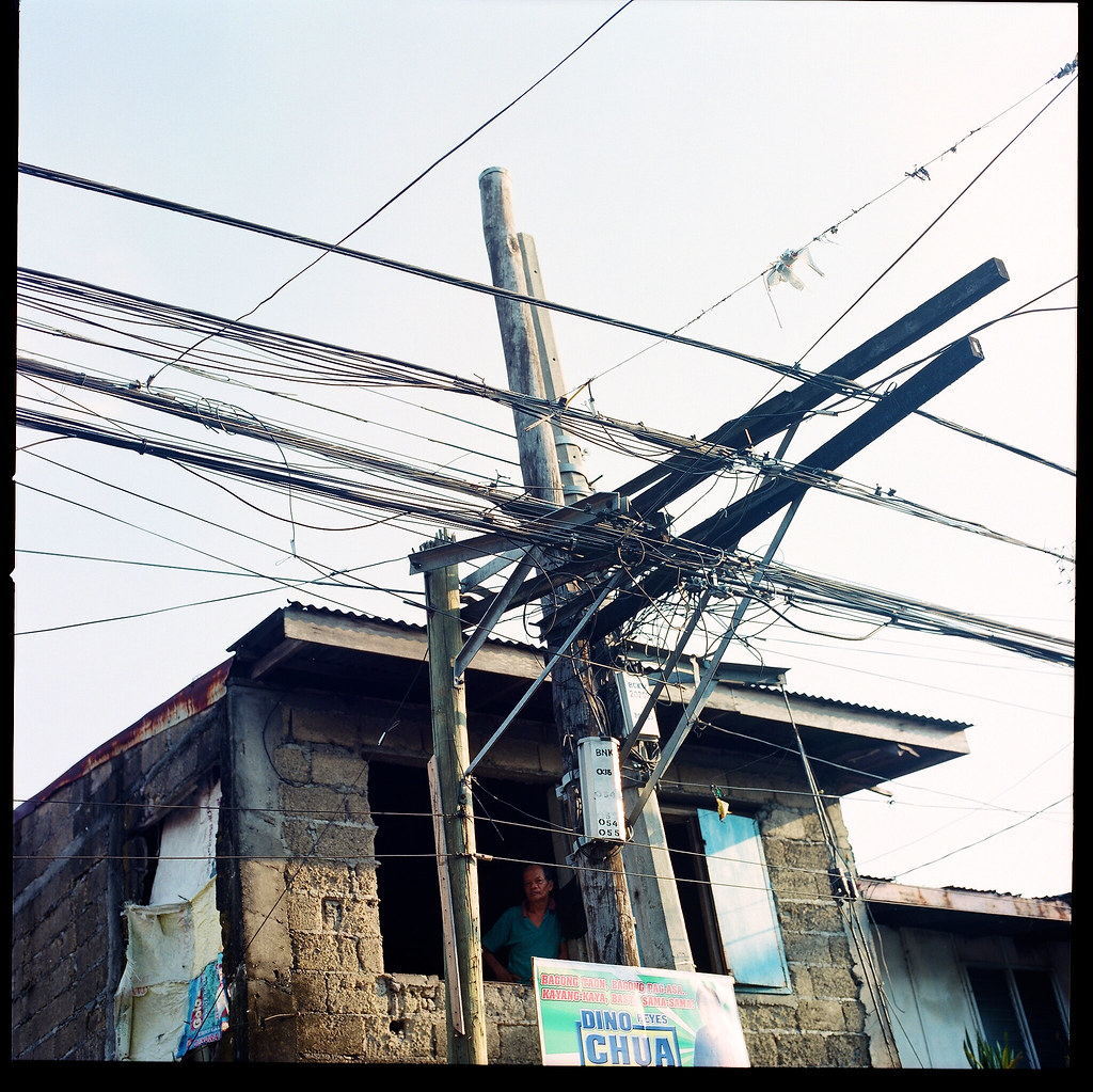
There Are No Rules, No Requirements
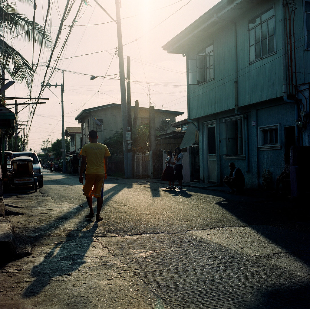
Right Outside
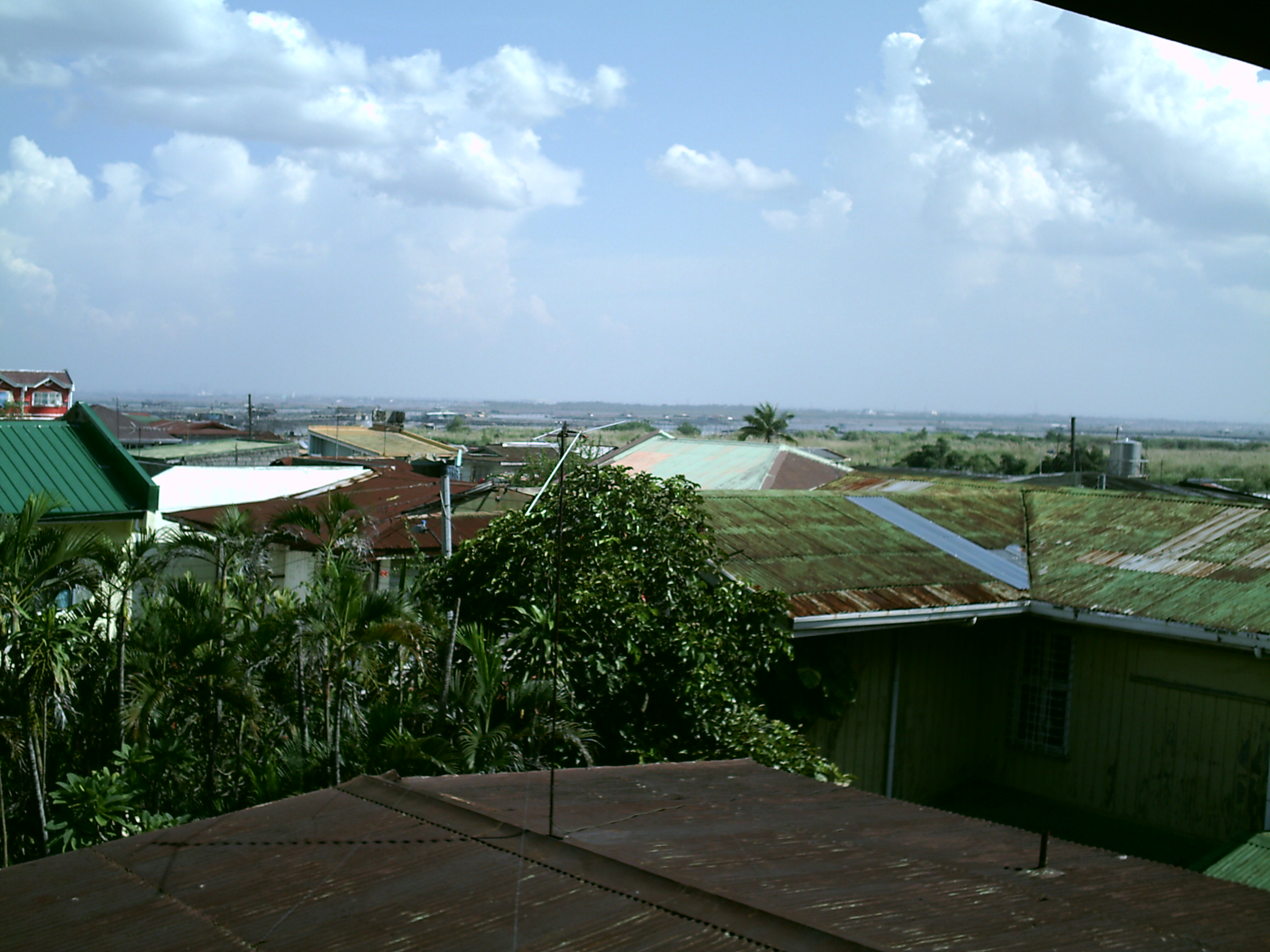
Naval Station Sangley Point, Republic of the Philippines (RPLS/NSP)

View of Manila through a wet window - on our boat ride from Corregidor Island

Saulog Transit 71729 front view

Mount Samat National Shrine
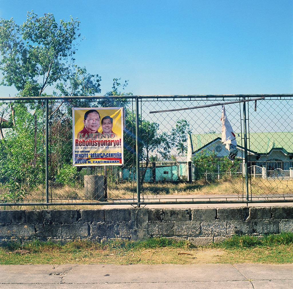
Revolutionary Change!

Patapat Viaduct is the coastal bridge connecting Maharlika Highway from Laoag,Ilocos Norte to Cagayan valley with stretch of 1.5km. You can view China Sea from this area #patapatviaduct #ilocos #cagayanvalley #stretch #bridge #connectingbridge #govisit
Birds Eye View
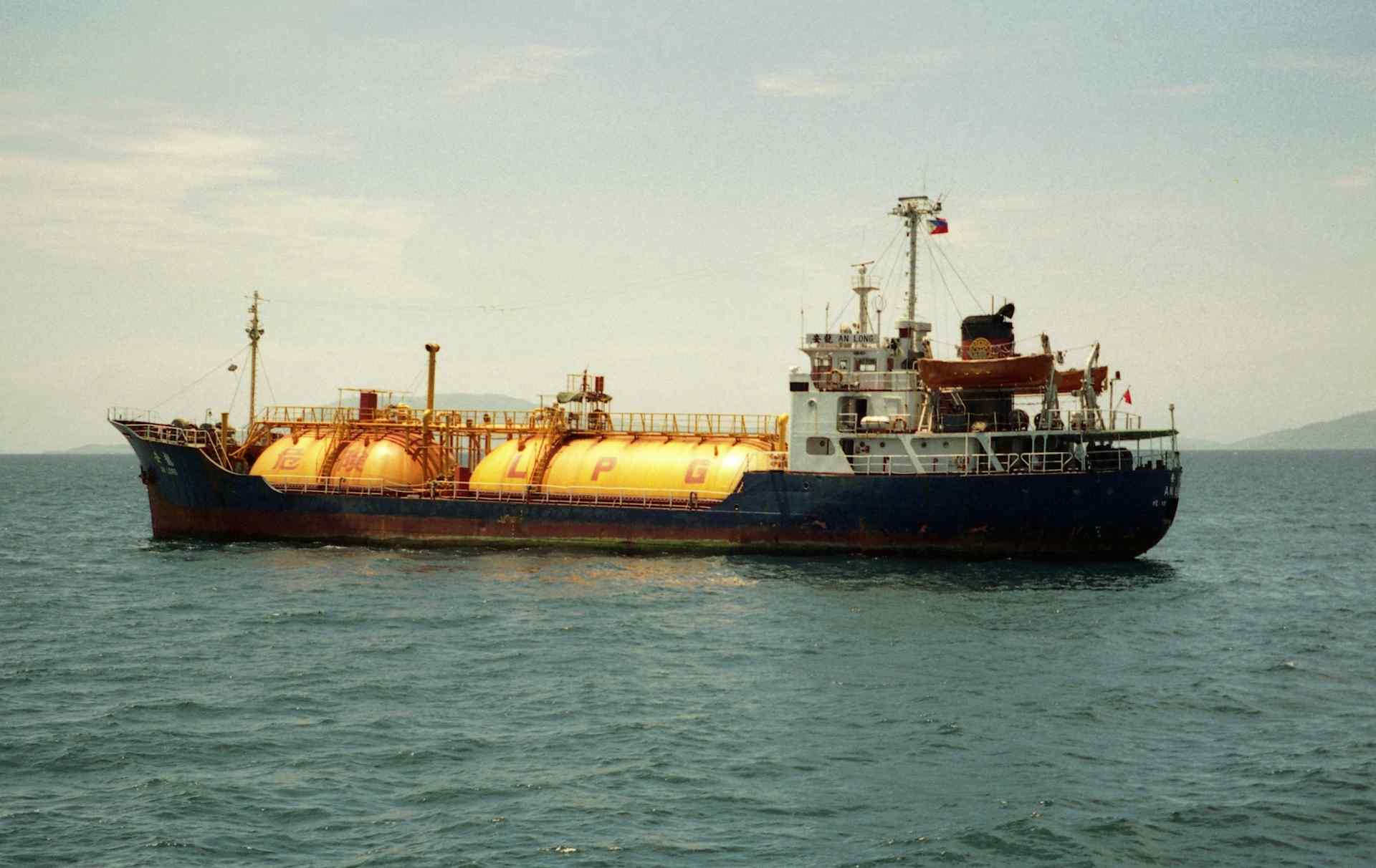
LP Gas boat; Manila Bay, Philippines

Boat bout to sail. #boat #sail #sea #sky #shore #RJPh #photography
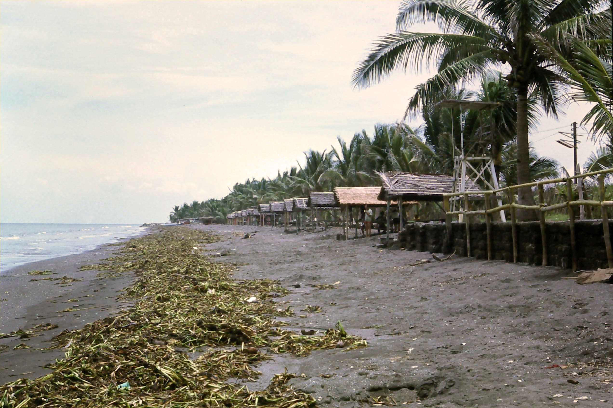
Lido beach Cavite - Manila Bay, looking north

Lido beach Cavite - Manila Bay looking south
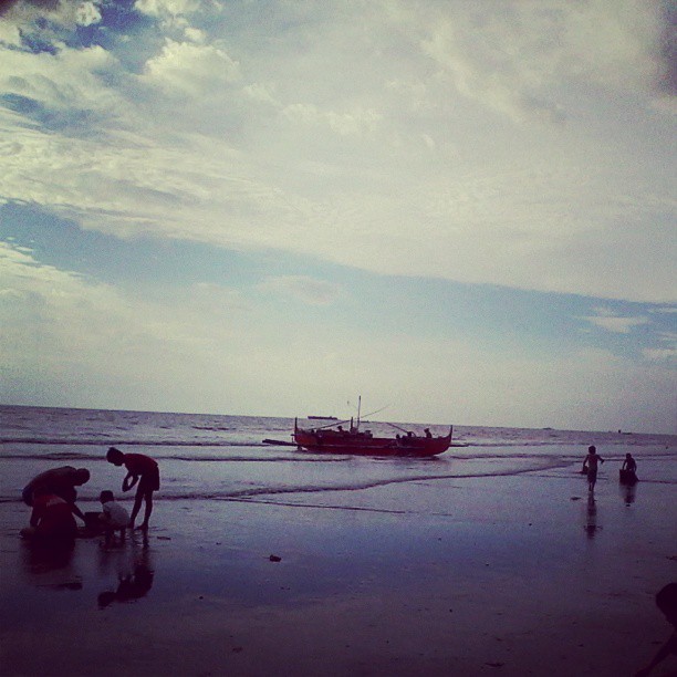
Thanks SuperMoon for the tide. Kids can play along the shore

#wpotd #flag #germany #yellowredandblack
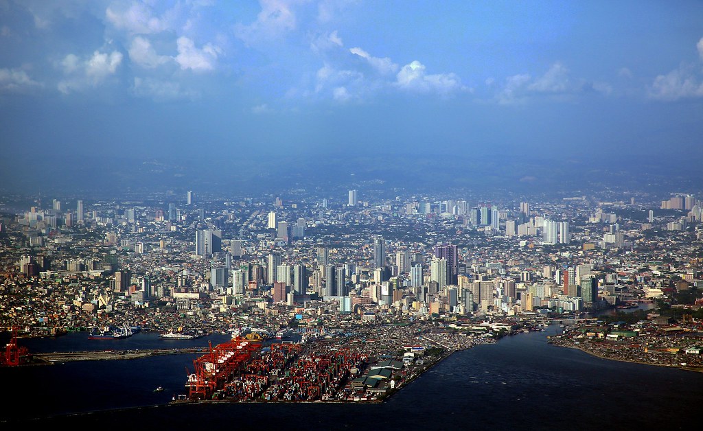
Tondo and Binondo
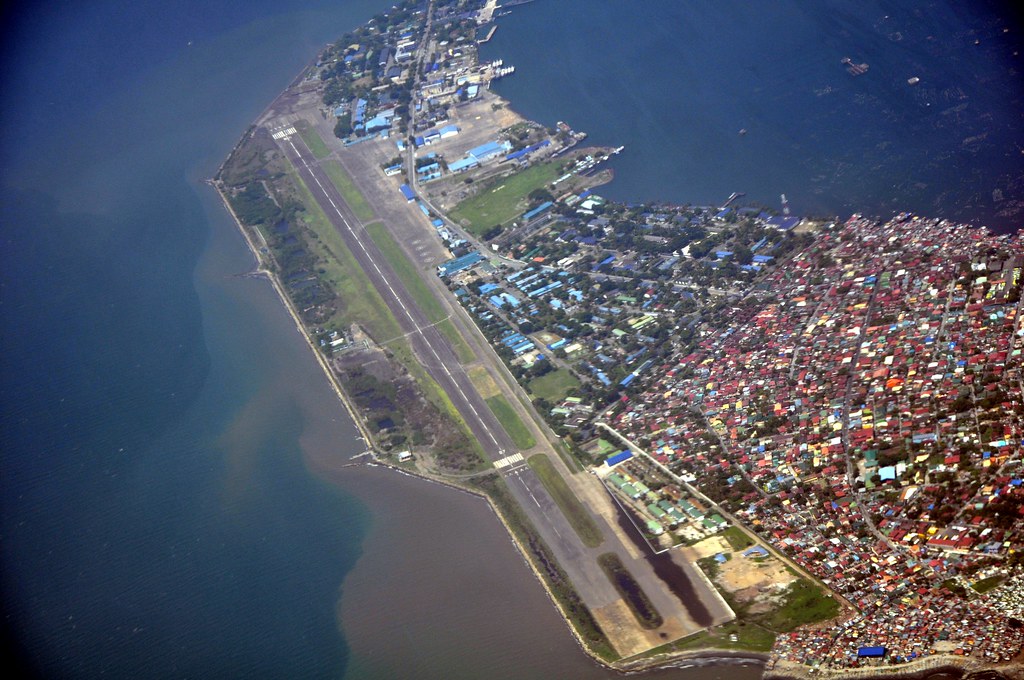
Cavite City/Sangley Point

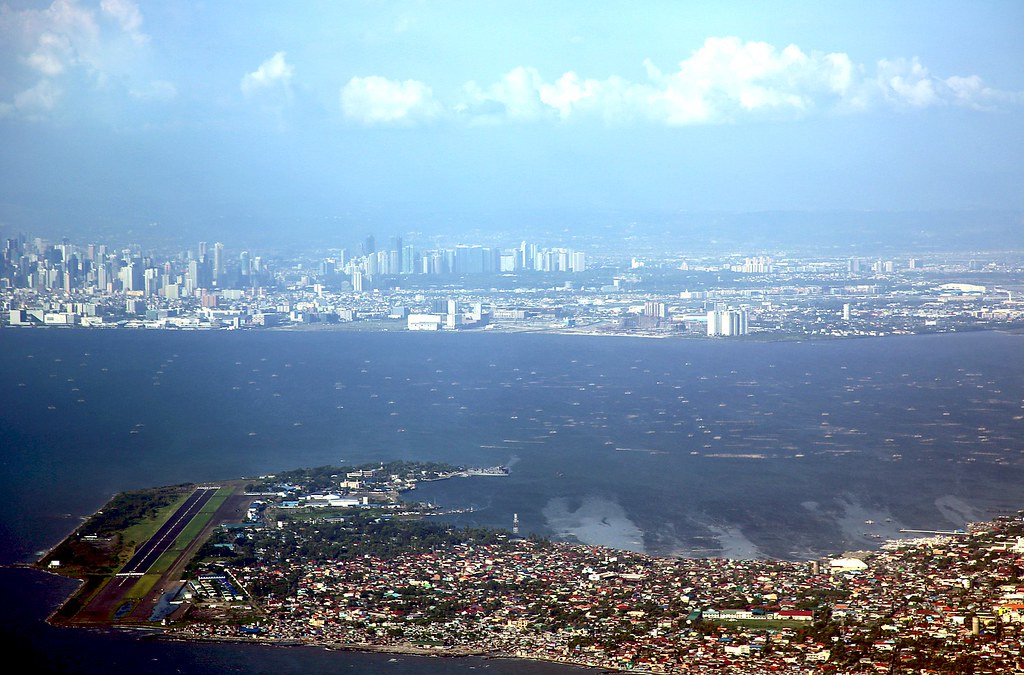
Cavite City and Manila at 2,150' Altitude
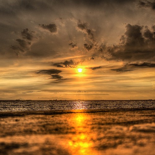
Yearning is a kind of sickness. #travelinspired #alalamiya_sunset #skymasters_family #hdr_professional #ManilaBay #manila #sunset #postcardsfromtheworld
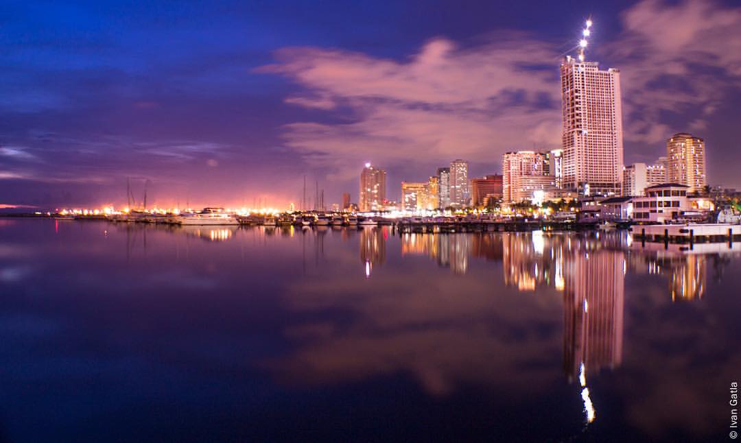
Manila Skyline Manila, Philippines #manila #night #city #skyline #reflection
Topographic Map of Manila Bay, Philippines
Find elevation by address:

Places near Manila Bay, Philippines:
452 P. Burgos
313 P. Burgos Ave
Santa Cruz
Caridad
Villa Theresa Resort-cavite City
Cavite City
Nissin Universal Robina Corporation.
Cavite City Public Market
Love Memorial Park
Salcedo Ii
San Roque
Salcedo I
Santonil St. Brgy Sta. Isabel, Kawit, Cavite
Santa Isabel
Noveleta
Poblacion
Dr. Grace Manimtim-bernal - Noveleta, Cavite
Pugad Ibon Daycare Center
Sta Rosa Ii Barangay Hall
Sta. Rosa Ii
Recent Searches:
- Elevation of Corso Fratelli Cairoli, 35, Macerata MC, Italy
- Elevation of Tallevast Rd, Sarasota, FL, USA
- Elevation of 4th St E, Sonoma, CA, USA
- Elevation of Black Hollow Rd, Pennsdale, PA, USA
- Elevation of Oakland Ave, Williamsport, PA, USA
- Elevation of Pedrógão Grande, Portugal
- Elevation of Klee Dr, Martinsburg, WV, USA
- Elevation of Via Roma, Pieranica CR, Italy
- Elevation of Tavkvetili Mountain, Georgia
- Elevation of Hartfords Bluff Cir, Mt Pleasant, SC, USA