Elevation of Mangaweka, New Zealand
Location: New Zealand > Manawatu-wanganui > Rangitikei District >
Longitude: 175.795481
Latitude: -39.806891
Elevation: 321m / 1053feet
Barometric Pressure: 98KPa
Elevation Map:
Satellite Map:
Related Photos:
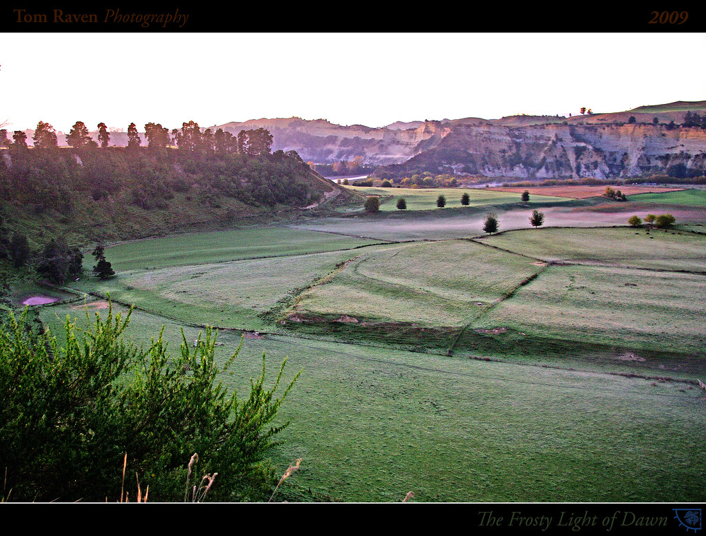
The Frosty Light of Dawn

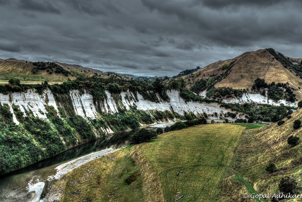
Rangitikei Cliffs

Ruahine Ranges, New Zealand
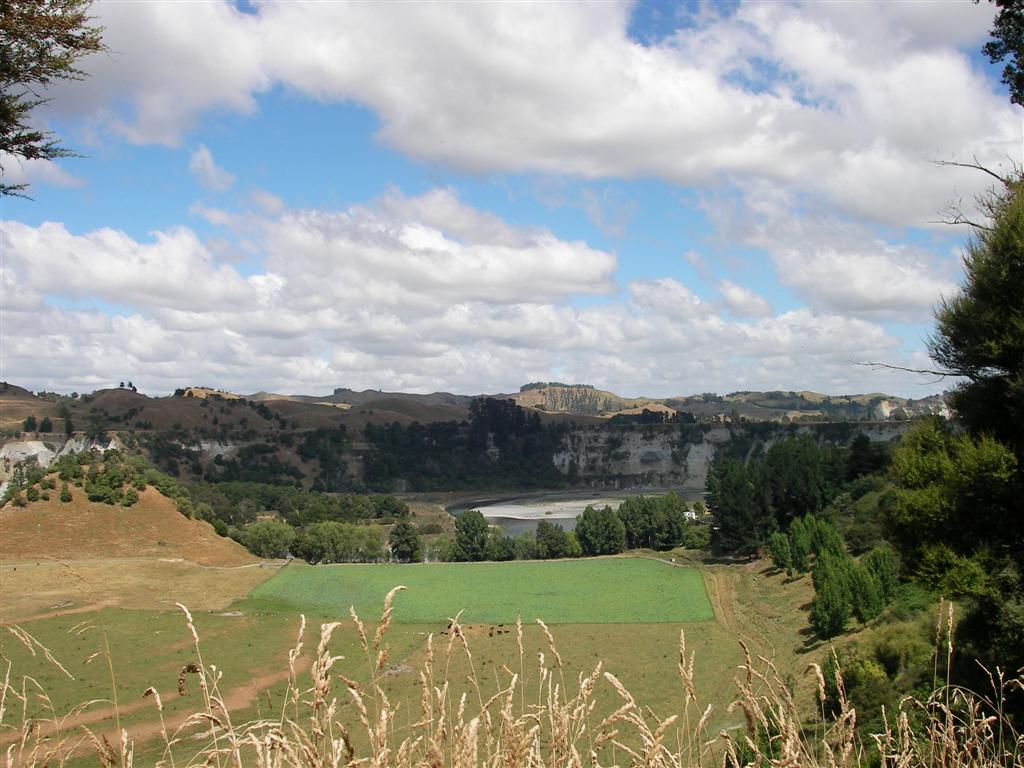
Rangitikei River View New Zealand

Bridge 8510
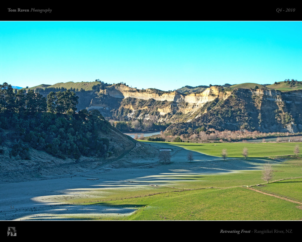
Retreating Frost
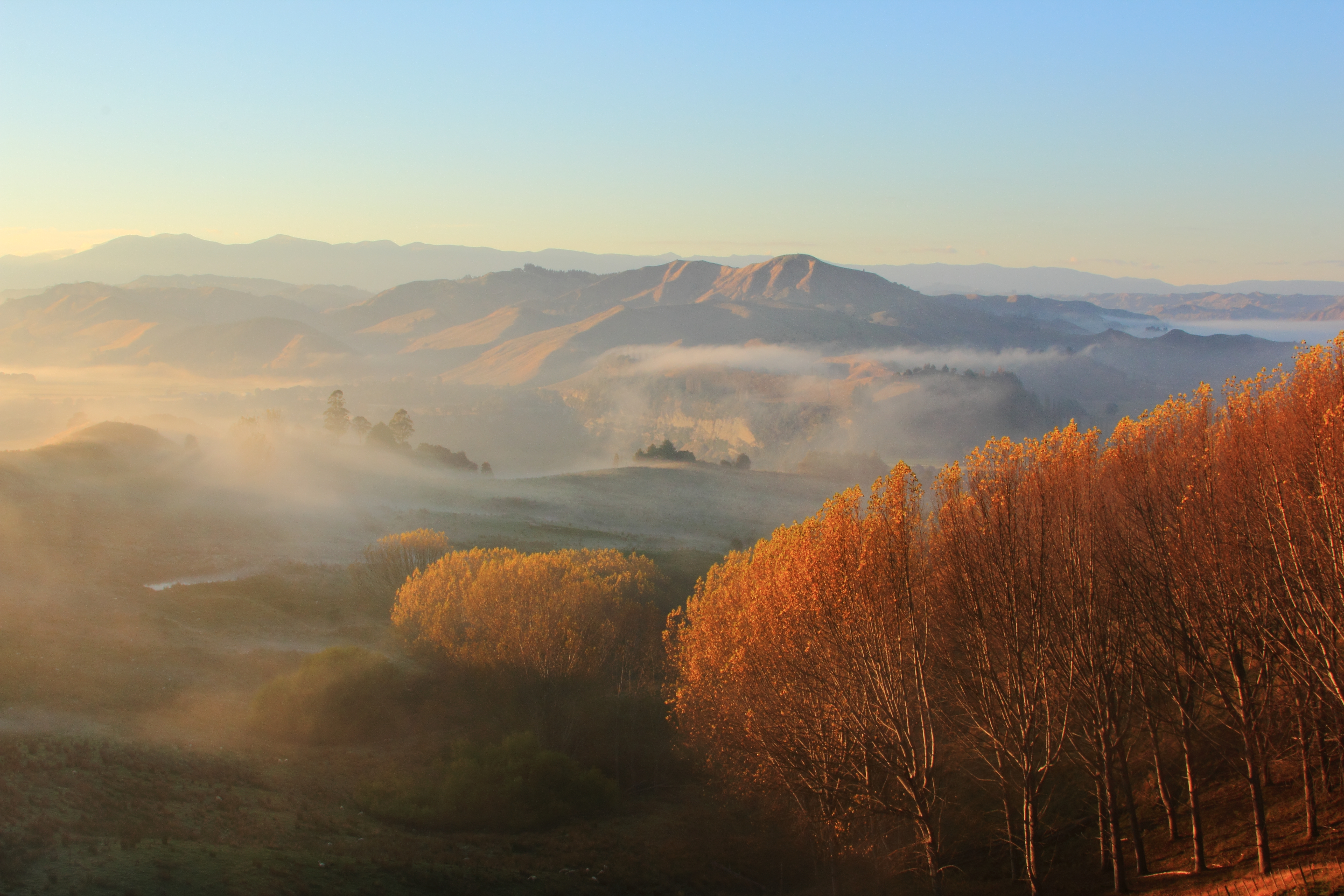
Mangaweka Sunrise
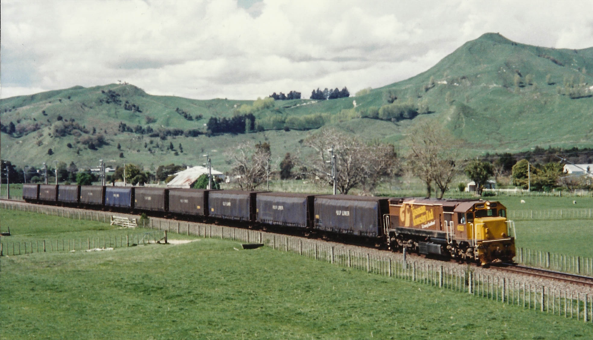
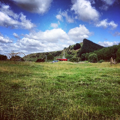
Mangaweka (From Terrace Road)
Auckland 7

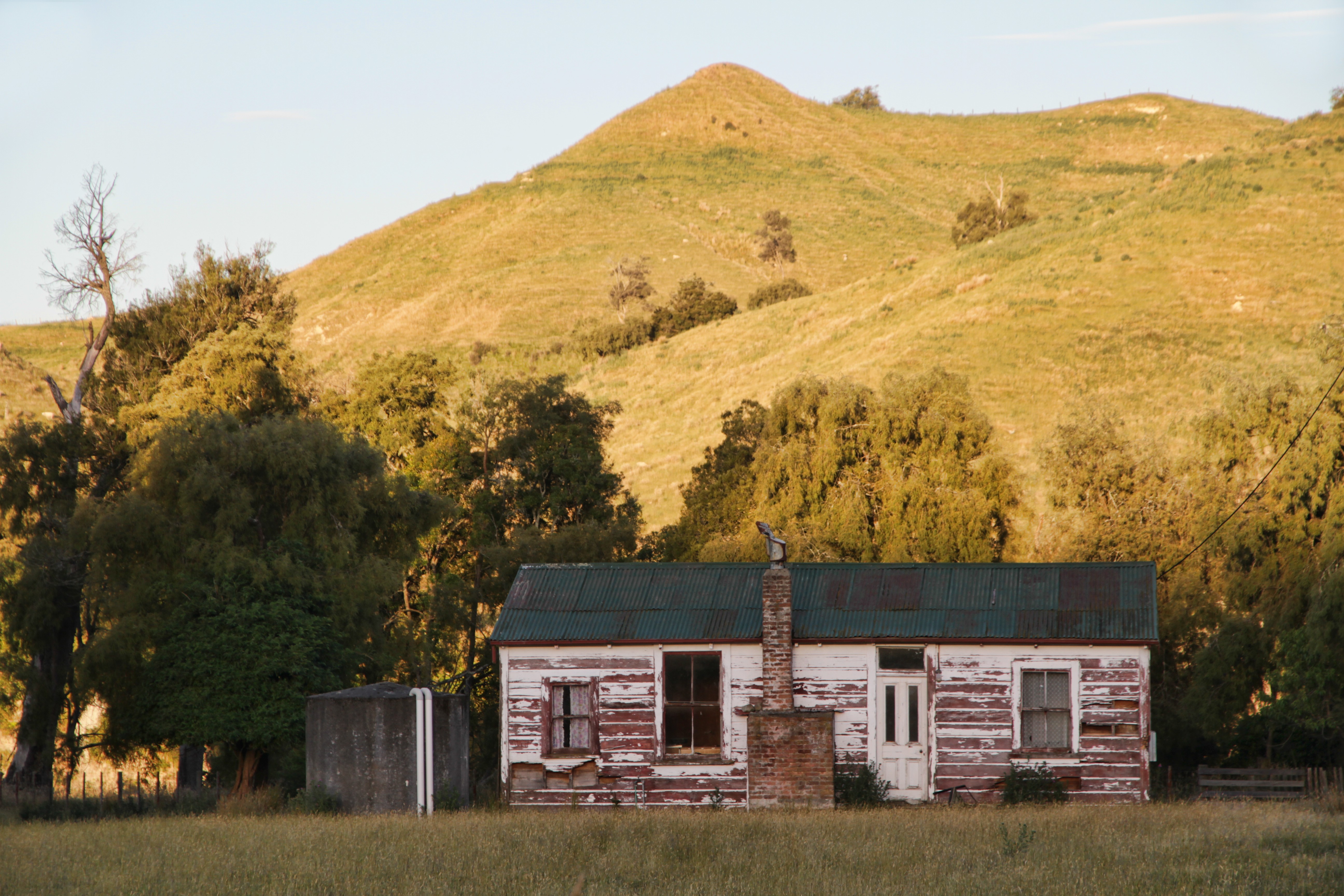
Old house, Mangaweka, Rangitikei, New Zealand
4th September - Rangitikei River Valley
Rangitikei River Confluence

Stormy Point Lookout
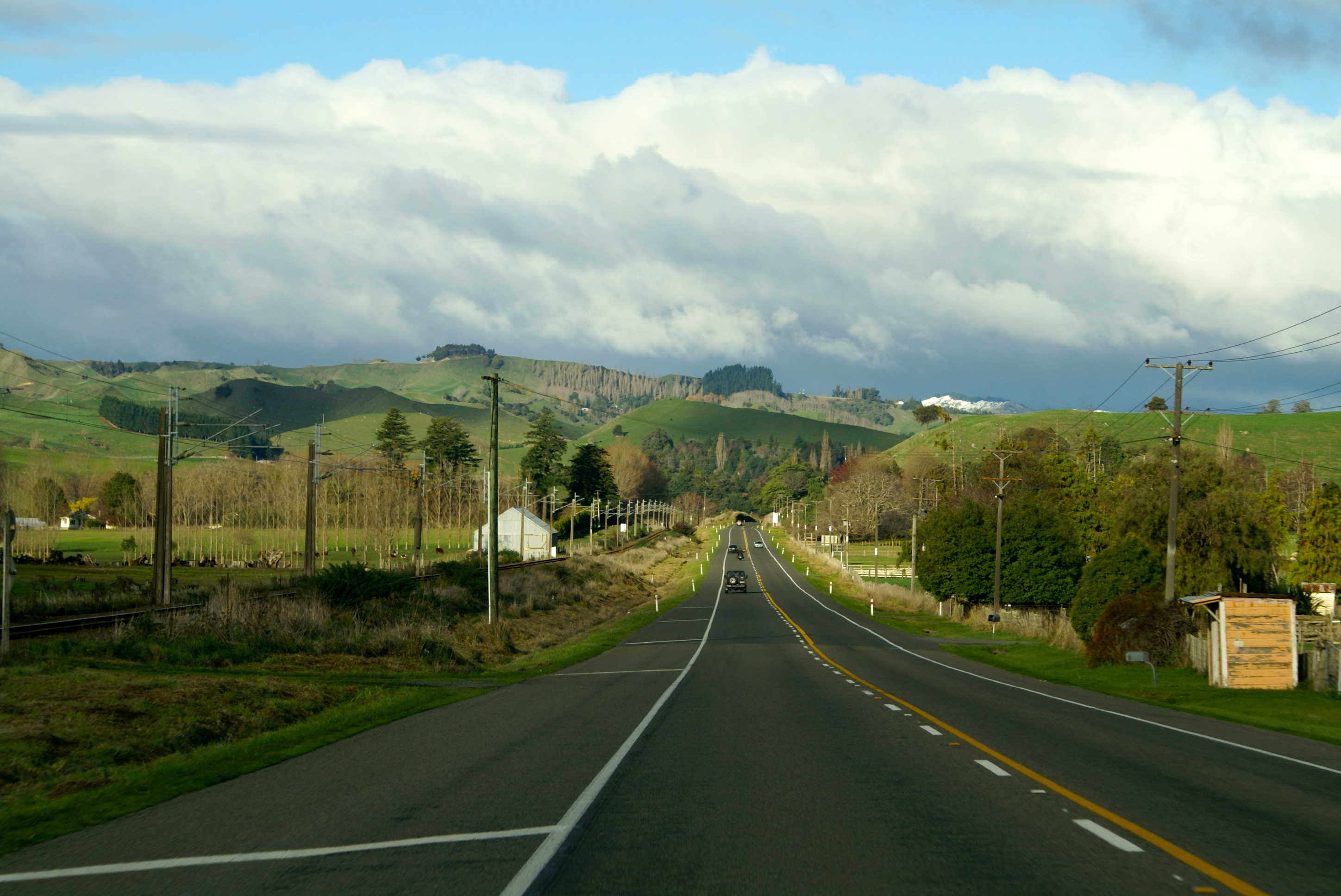
Wanganui open road
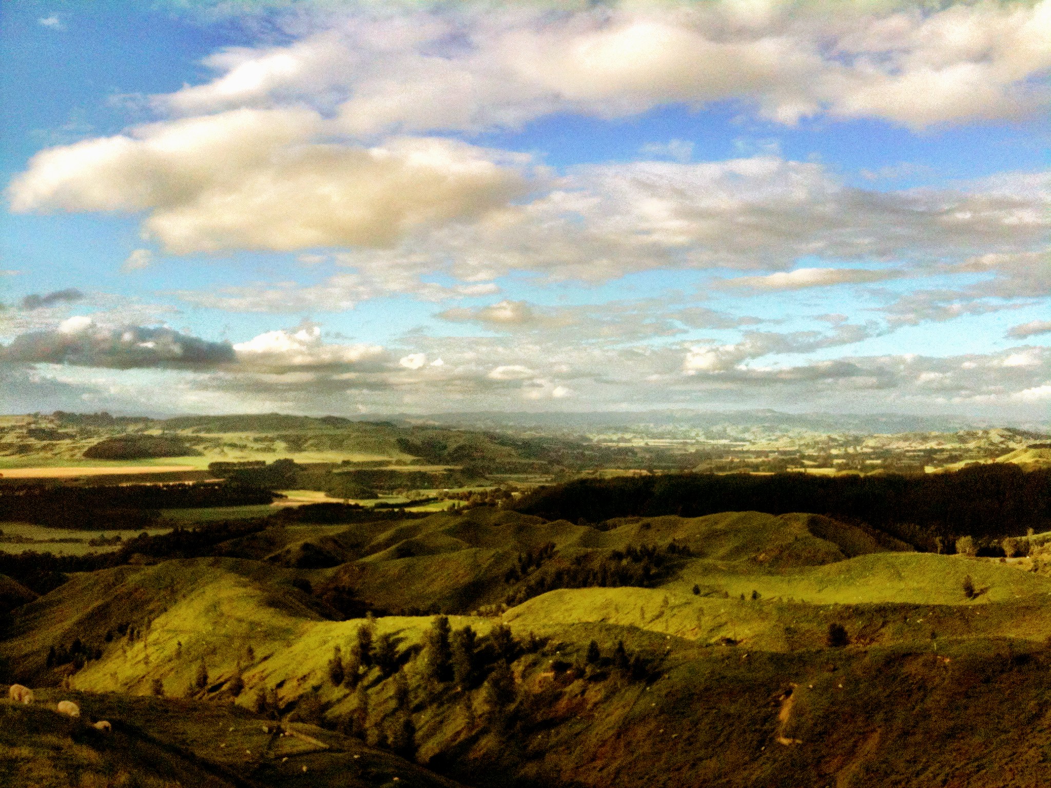
Stormy point lookout

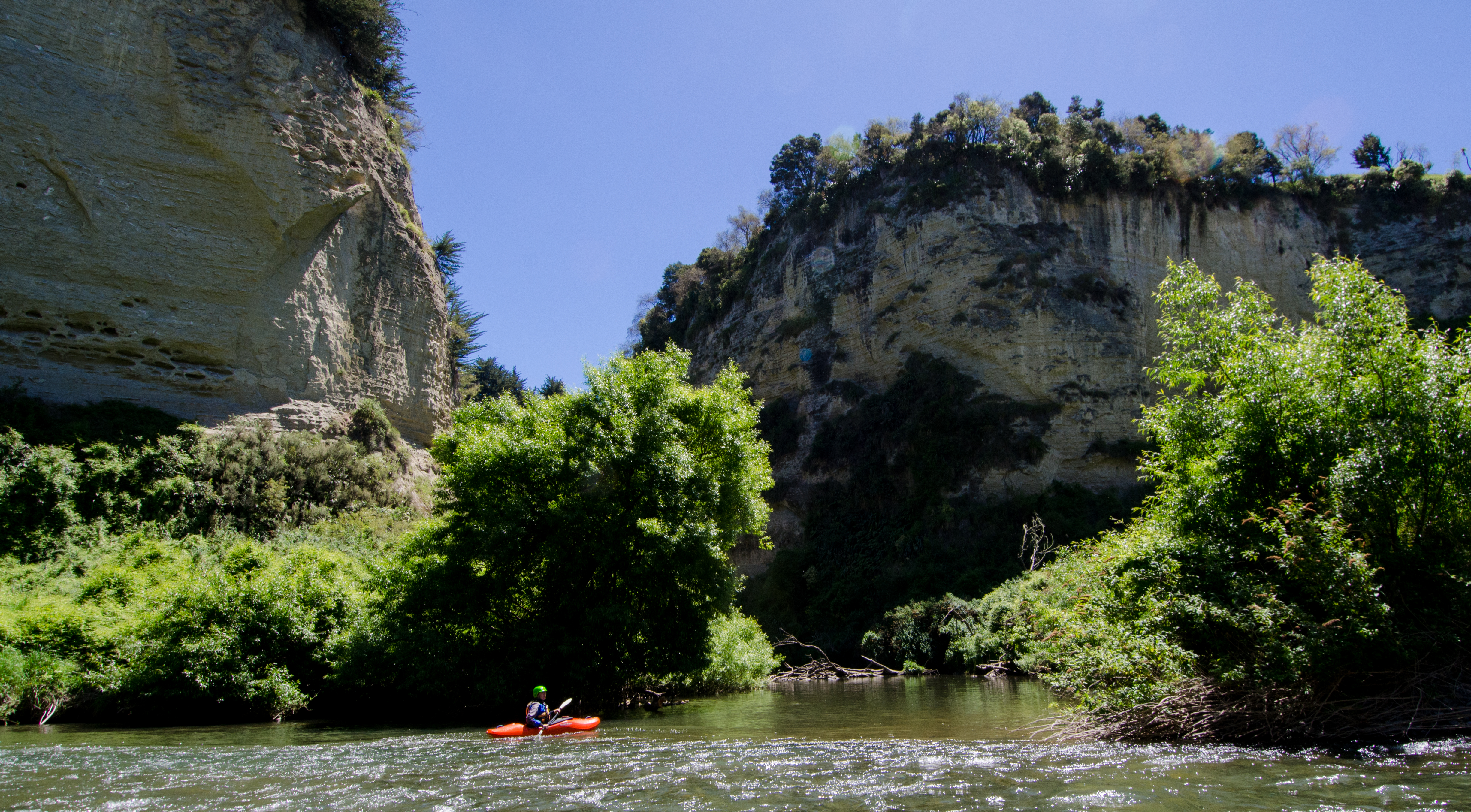
Rangitikei River, New Zealand

Along the way from Tongariro NP to Bulls New Zealand
On the move
#newzealand #kiwipics #igers #mobilephotography #picoftheday #photomoodoftheday #ontheroad
#newzealand #igers #mobilephotography #kiwipics #picoftheday #photomoodoftheday

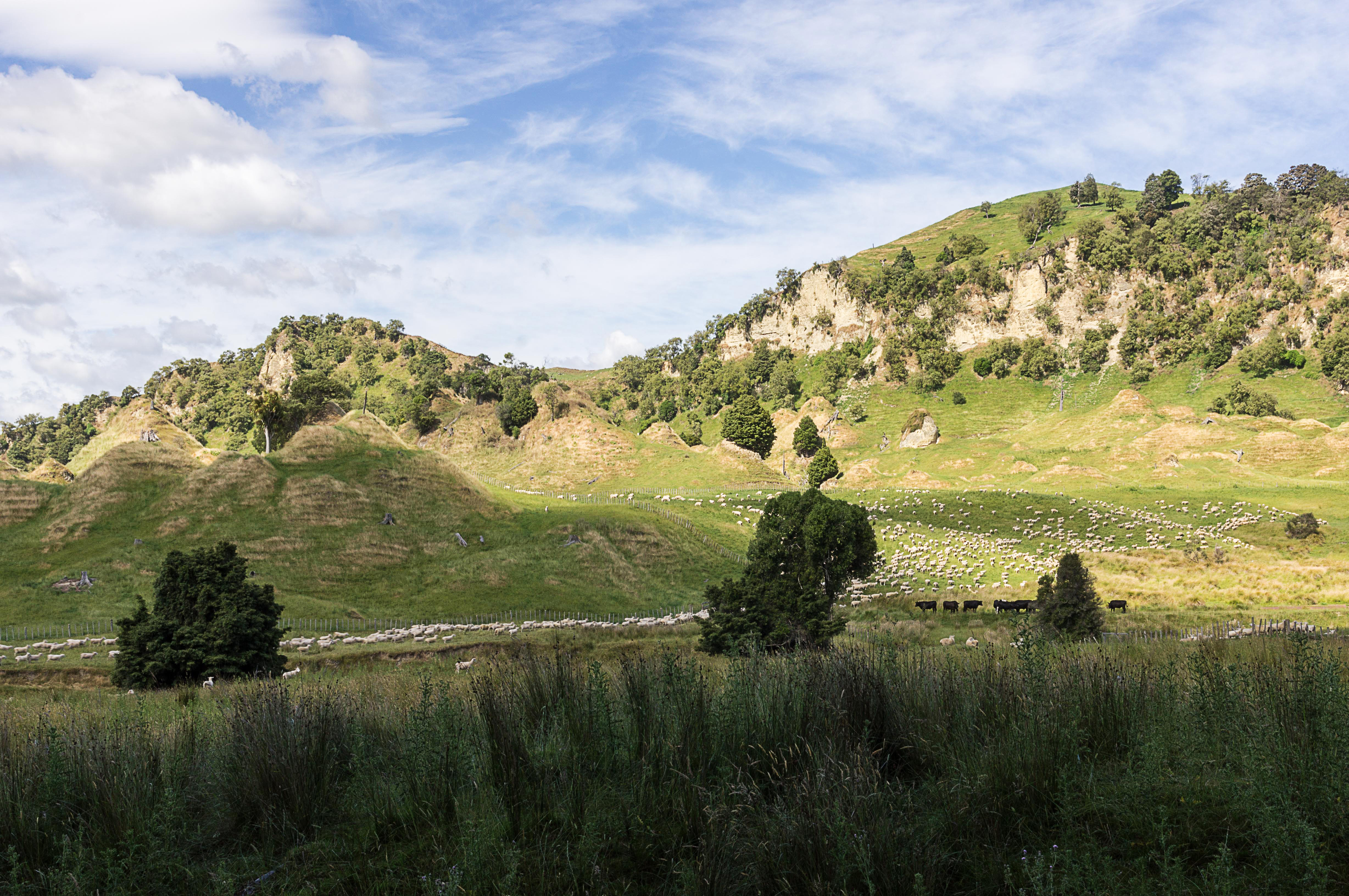
Sheep and Toetoe

Tongariro National Park to Wellington - 19
Old house, Ruahine, Manawatu, New Zealand
Topographic Map of Mangaweka, New Zealand
Find elevation by address:

Places in Mangaweka, New Zealand:
Places near Mangaweka, New Zealand:
Broadway
Taihape
2489 Rangiwahia Road
Rangitikei District
1357 Pohangina Road
Pohangina
20a Ruahine St
Dannevirke
Dannevirke
Waitahora
13 Diaz Drive
Paki Paki
Flaxmere
598 Te Aute Rd
Hastings
120 Morley Road
Tomoana
Parkvale
1242 Ada Street
Taradale
Recent Searches:
- Elevation of Woodland Oak Pl, Thousand Oaks, CA, USA
- Elevation of Brownsdale Rd, Renfrew, PA, USA
- Elevation of Corcoran Ln, Suffolk, VA, USA
- Elevation of Mamala II, Sariaya, Quezon, Philippines
- Elevation of Sarangdanda, Nepal
- Elevation of 7 Waterfall Way, Tomball, TX, USA
- Elevation of SW 57th Ave, Portland, OR, USA
- Elevation of Crocker Dr, Vacaville, CA, USA
- Elevation of Pu Ngaol Community Meeting Hall, HWHM+3X7, Krong Saen Monourom, Cambodia
- Elevation of Royal Ontario Museum, Queens Park, Toronto, ON M5S 2C6, Canada