Elevation of Mane, Pidie Regency, Aceh, Indonesia
Location: Indonesia > Aceh > Pidie Regency >
Longitude: 96.0891032
Latitude: 4.8867326
Elevation: 404m / 1325feet
Barometric Pressure: 97KPa
Elevation Map:
Satellite Map:
Related Photos:
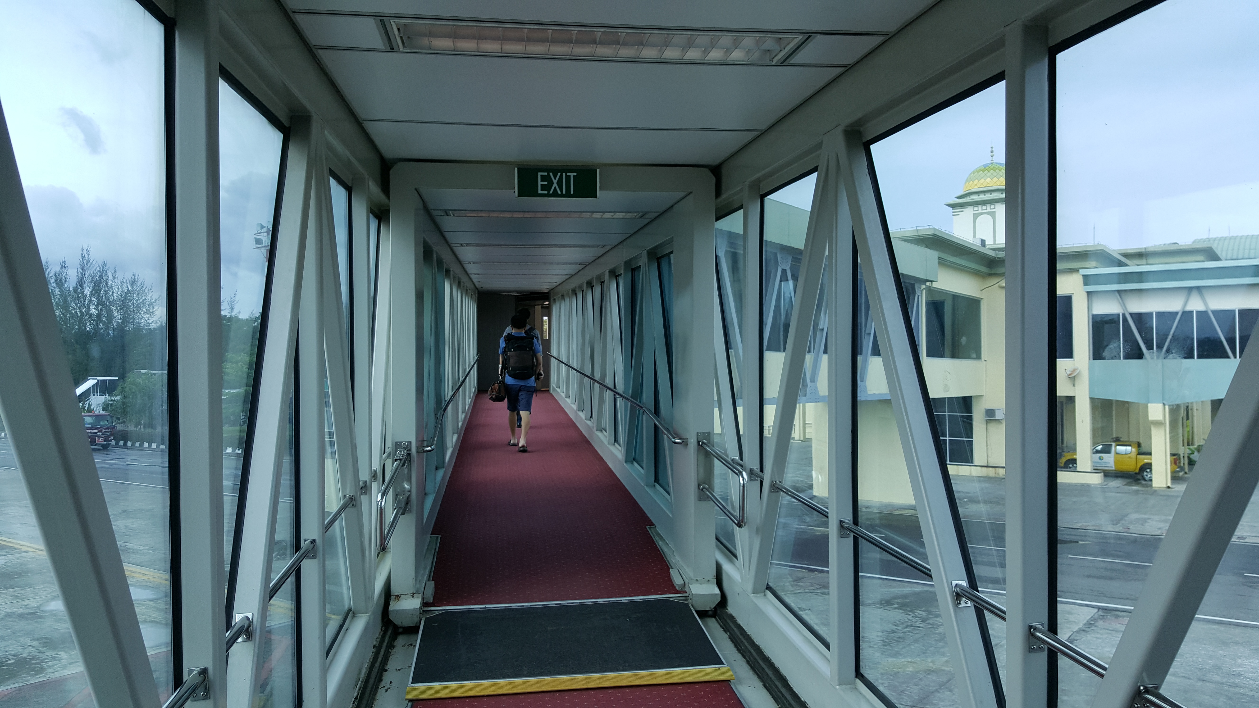
Sultan Iskandar Muda International Airport - Blang Bintang, Aceh Besar, Aceh
vvvv (11)
Topographic Map of Mane, Pidie Regency, Aceh, Indonesia
Find elevation by address:

Places near Mane, Pidie Regency, Aceh, Indonesia:
Geumpang
Tangse
Meureudu
Pidie Regency
Krueng Sabee
Pidie Jaya Regency
Mas River
Tutut
Meureudu City
Keumala
West Aceh Regency
Aceh Jaya Regency
Blang Luah
Gunung Hulumasen
Jantho City
Teunom
Sigli
Padang Tiji
Ketol
Jantho
Recent Searches:
- Elevation of Steadfast Ct, Daphne, AL, USA
- Elevation of Lagasgasan, X+CQH, Tiaong, Quezon, Philippines
- Elevation of Rojo Ct, Atascadero, CA, USA
- Elevation of Flagstaff Drive, Flagstaff Dr, North Carolina, USA
- Elevation of Avery Ln, Lakeland, FL, USA
- Elevation of Woolwine, VA, USA
- Elevation of Lumagwas Diversified Farmers Multi-Purpose Cooperative, Lumagwas, Adtuyon, RV32+MH7, Pangantucan, Bukidnon, Philippines
- Elevation of Homestead Ridge, New Braunfels, TX, USA
- Elevation of Orchard Road, Orchard Rd, Marlborough, NY, USA
- Elevation of 12 Hutchinson Woods Dr, Fletcher, NC, USA