Elevation of Mandla, Madhya Pradesh, India
Location: India > Madhya Pradesh > Harda >
Longitude: 76.9445323
Latitude: 22.2213965
Elevation: 280m / 919feet
Barometric Pressure: 98KPa
Elevation Map:
Satellite Map:
Related Photos:
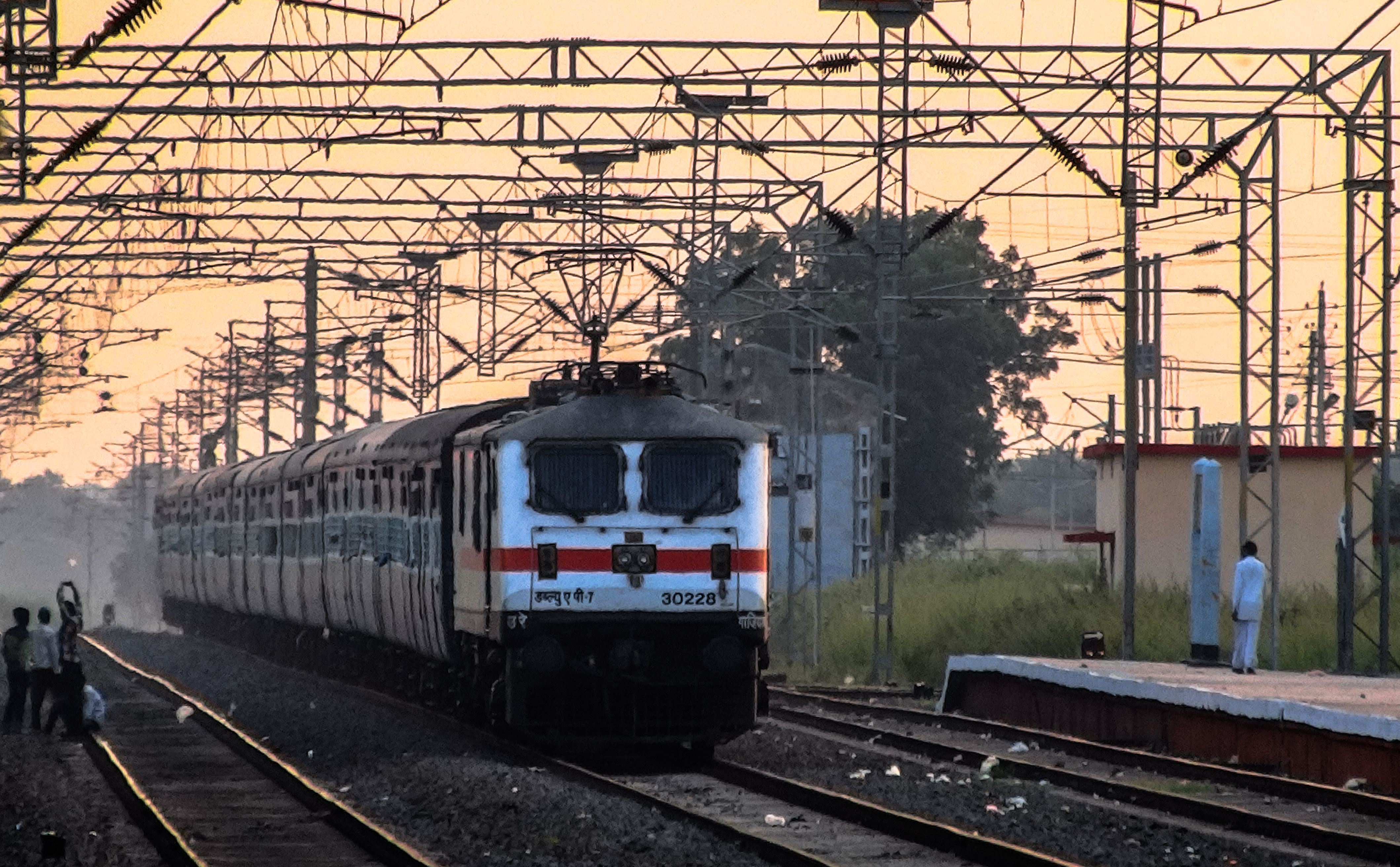
22455 SNSI-KLK Superfast Express
Topographic Map of Mandla, Madhya Pradesh, India
Find elevation by address:

Places near Mandla, Madhya Pradesh, India:
Harda
Harda
Old Harsud
Narmada River
Surjana
Khandwa
Khalwa
Mundi
Khandwa
Omkareshwar
Pandhana
Chikhaldara
Barwaha
Khaknar
Jamuniya
Burhanpur
Bhikangaon
Monin Pura
Akbari Sarai
Burhanpur
Recent Searches:
- Elevation of Corcoran Ln, Suffolk, VA, USA
- Elevation of Mamala II, Sariaya, Quezon, Philippines
- Elevation of Sarangdanda, Nepal
- Elevation of 7 Waterfall Way, Tomball, TX, USA
- Elevation of SW 57th Ave, Portland, OR, USA
- Elevation of Crocker Dr, Vacaville, CA, USA
- Elevation of Pu Ngaol Community Meeting Hall, HWHM+3X7, Krong Saen Monourom, Cambodia
- Elevation of Royal Ontario Museum, Queens Park, Toronto, ON M5S 2C6, Canada
- Elevation of Groblershoop, South Africa
- Elevation of Power Generation Enterprises | Industrial Diesel Generators, Oak Ave, Canyon Country, CA, USA