Elevation of Mandacanan Primary School, Mandacanan, Libmanan, Camarines Sur, Libmanan, Camarines Sur, Philippines
Location: Philippines > Bicol > Camarines Sur > Libmanan >
Longitude: 123.066661
Latitude: 13.700317
Elevation: 6m / 20feet
Barometric Pressure: 101KPa
Elevation Map:
Satellite Map:
Related Photos:

Sunrise on the rice

Trip to Legazpi 42

C360_2014-03-22-18-10-35

Donsol to Laiya-24

Donsol to Laiya 01(72wo)

Donsol to Laiya 18

Malabsay Falls #waterfall #bicoltour #bicol #biggsdiner @biggsdiner #travel #adventure

Donsol to Laiya 17

Donsol to Laiya 21

Donsol to Laiya 19
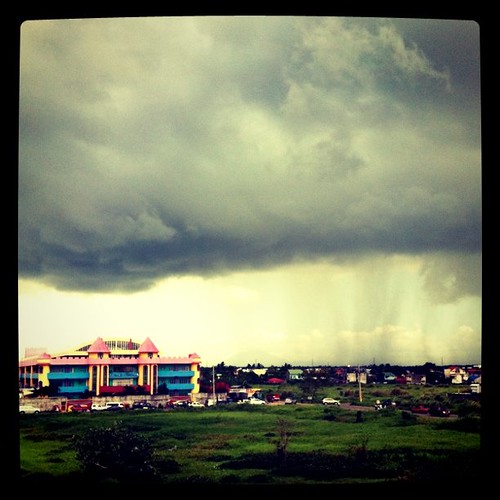
monstrous clouds..
Topographic Map of Mandacanan Primary School, Mandacanan, Libmanan, Camarines Sur, Libmanan, Camarines Sur, Philippines
Find elevation by address:

Places near Mandacanan Primary School, Mandacanan, Libmanan, Camarines Sur, Libmanan, Camarines Sur, Philippines:
Malansad Nuevo Elementary School
Libmanan Municipal Hall
Libmanan Cultural Center
Poblacion
Taban-fundado
Bagumbayan
Malbogon Elementary School
Malbogon
Rongos
Bagadion
St. Anthony Of Padua Parish
Dugcal
Camaligan Fish Port
Pamplona
Camaligan
San Vicente
Camaligan Municipal Police Station
San Roque
Bombon People's Market
Bombon Health Center
Recent Searches:
- Elevation of Spaceport America, Co Rd A, Truth or Consequences, NM, USA
- Elevation of Warwick, RI, USA
- Elevation of Fern Rd, Whitmore, CA, USA
- Elevation of 62 Abbey St, Marshfield, MA, USA
- Elevation of Fernwood, Bradenton, FL, USA
- Elevation of Felindre, Swansea SA5 7LU, UK
- Elevation of Leyte Industrial Development Estate, Isabel, Leyte, Philippines
- Elevation of W Granada St, Tampa, FL, USA
- Elevation of Pykes Down, Ivybridge PL21 0BY, UK
- Elevation of Jalan Senandin, Lutong, Miri, Sarawak, Malaysia