Elevation map of Manandriana, Madagascar
Location: Madagascar > Antananarivo Province >
Longitude: 47.058302
Latitude: -20.519648
Elevation: 1345m / 4413feet
Barometric Pressure: 86KPa
Elevation Map:
Satellite Map:
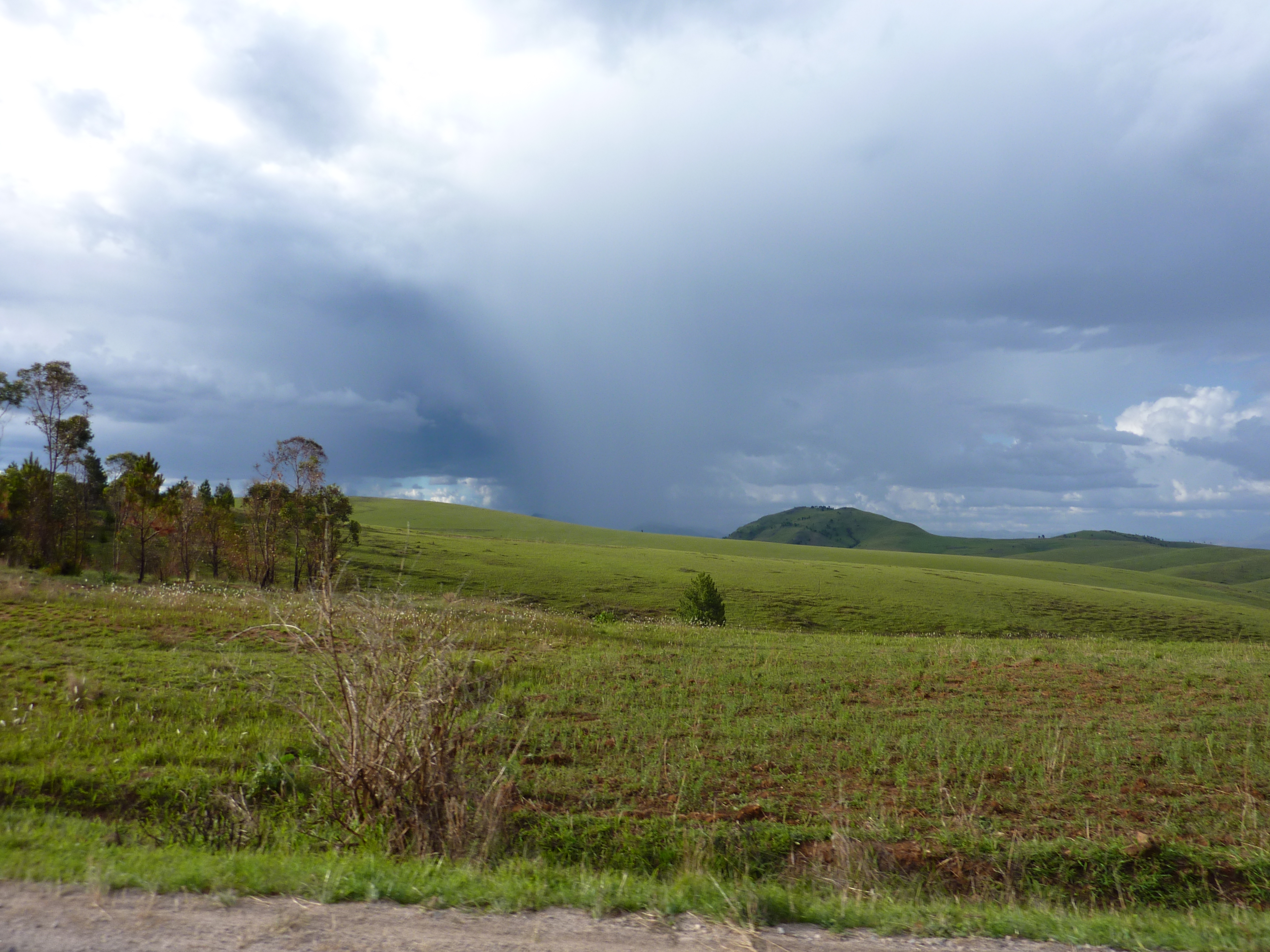
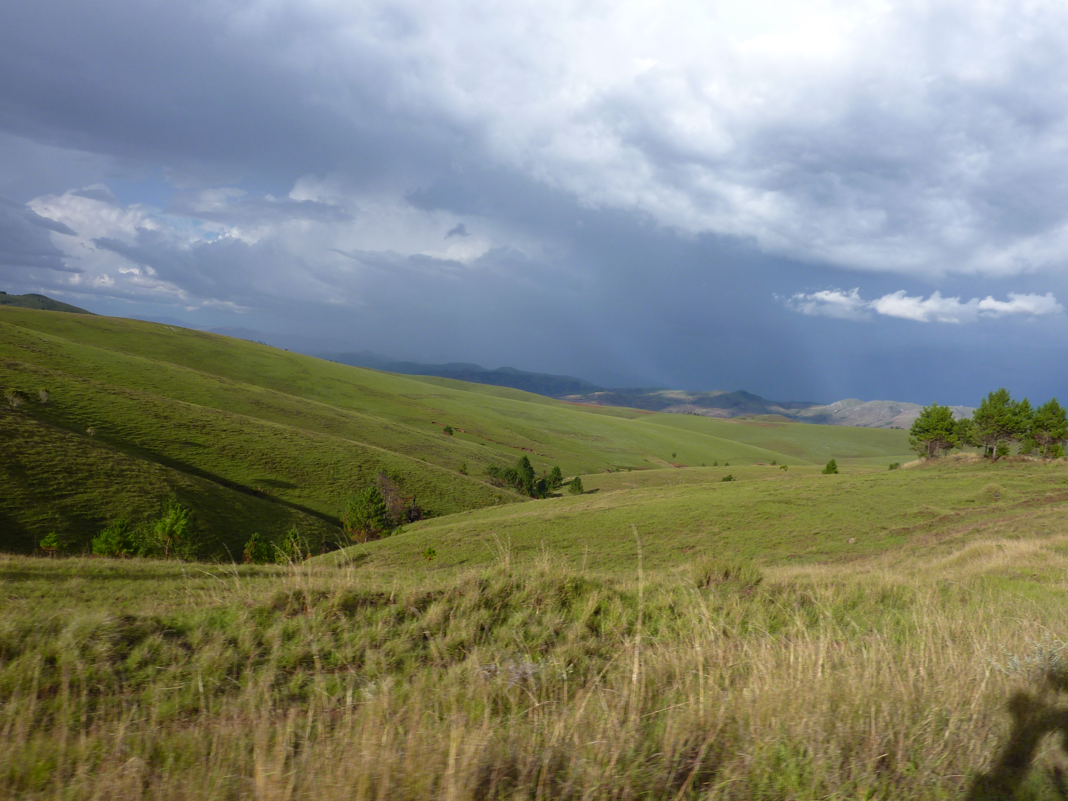
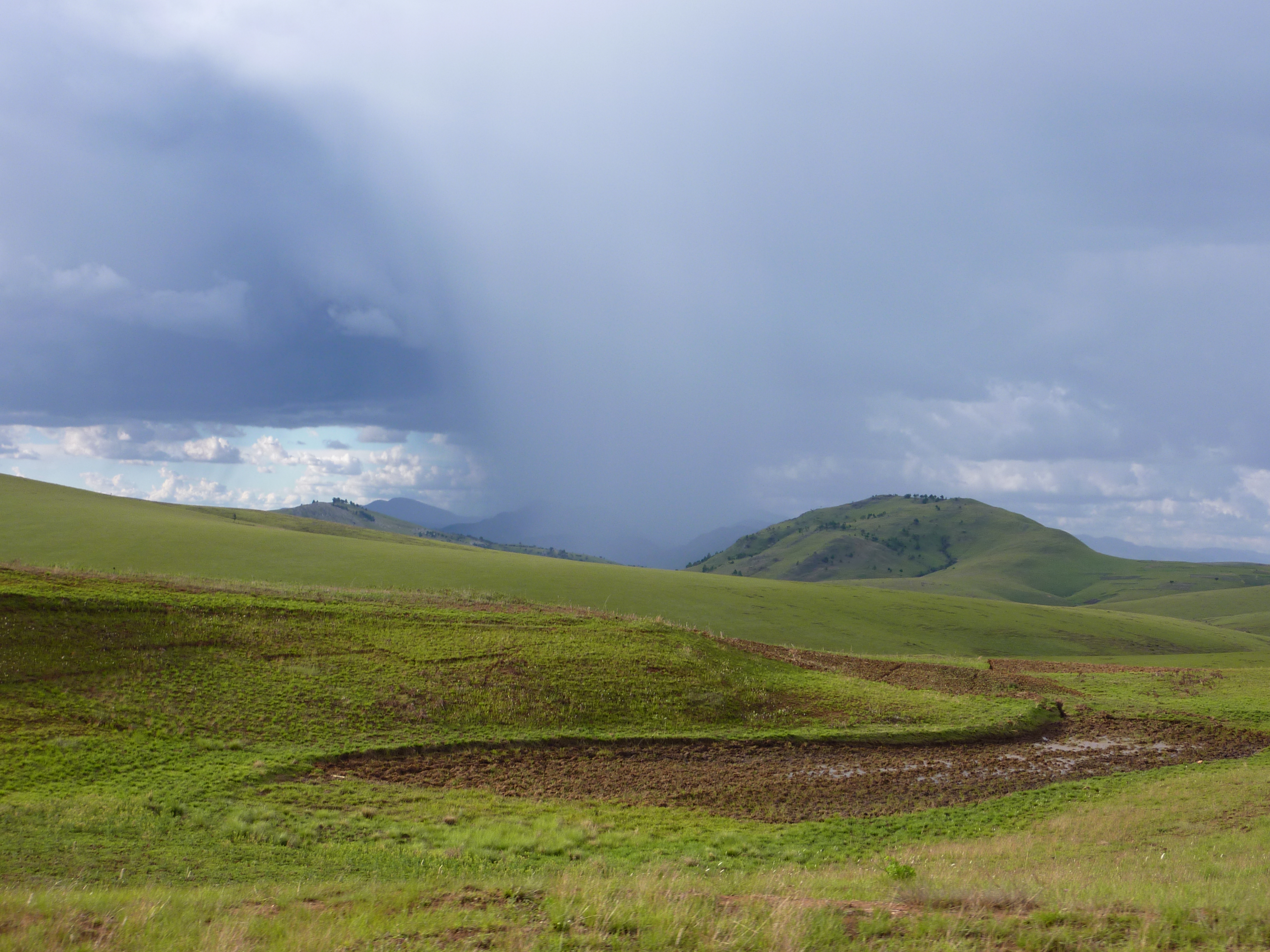
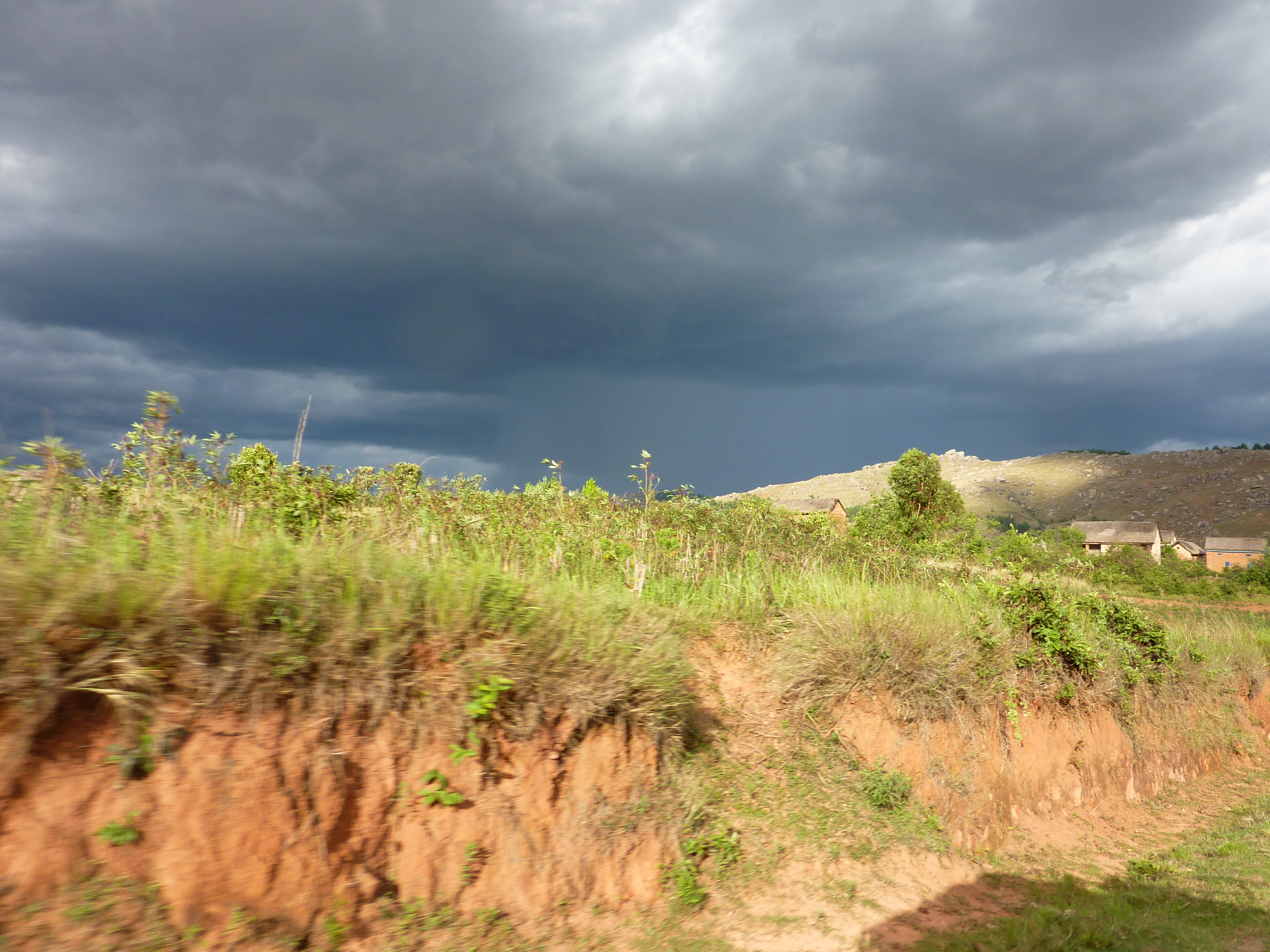
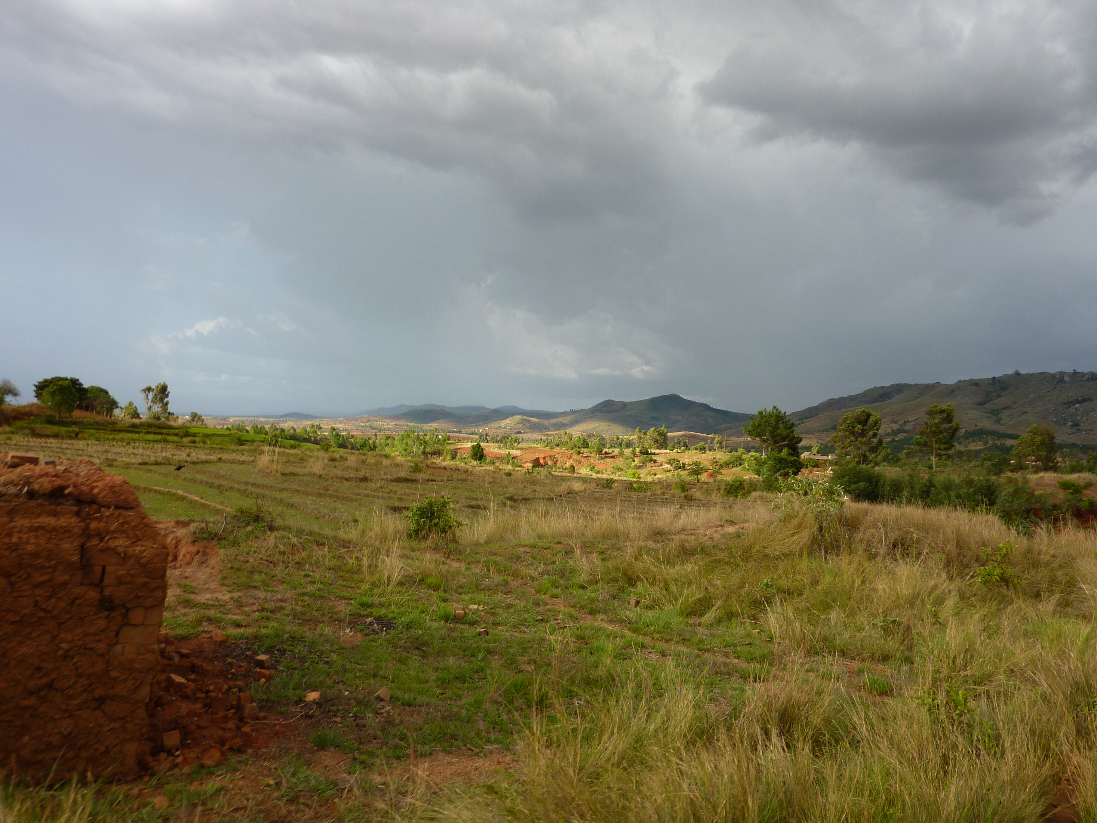
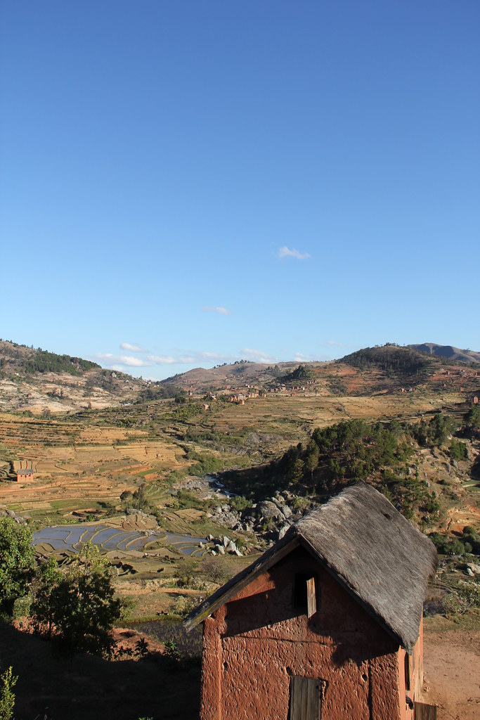
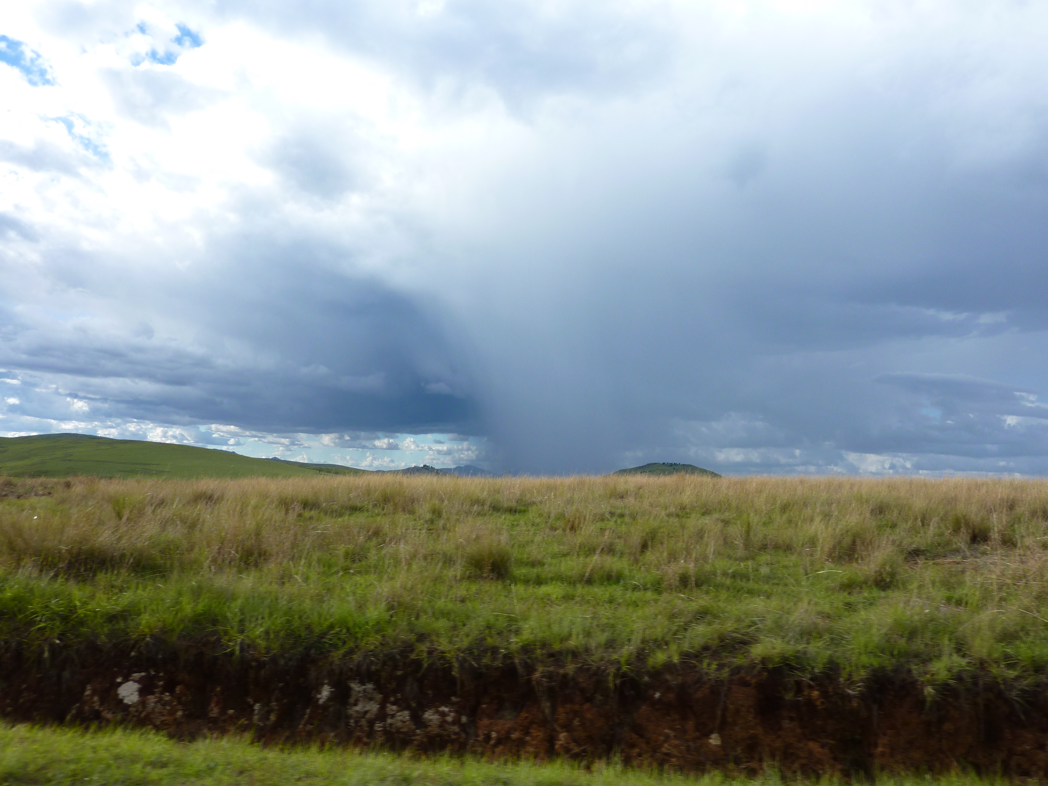
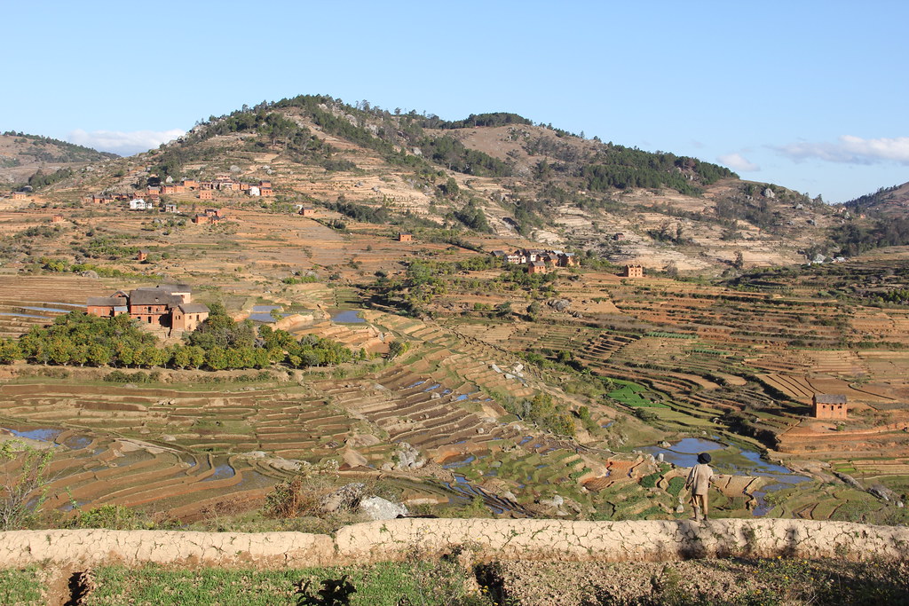
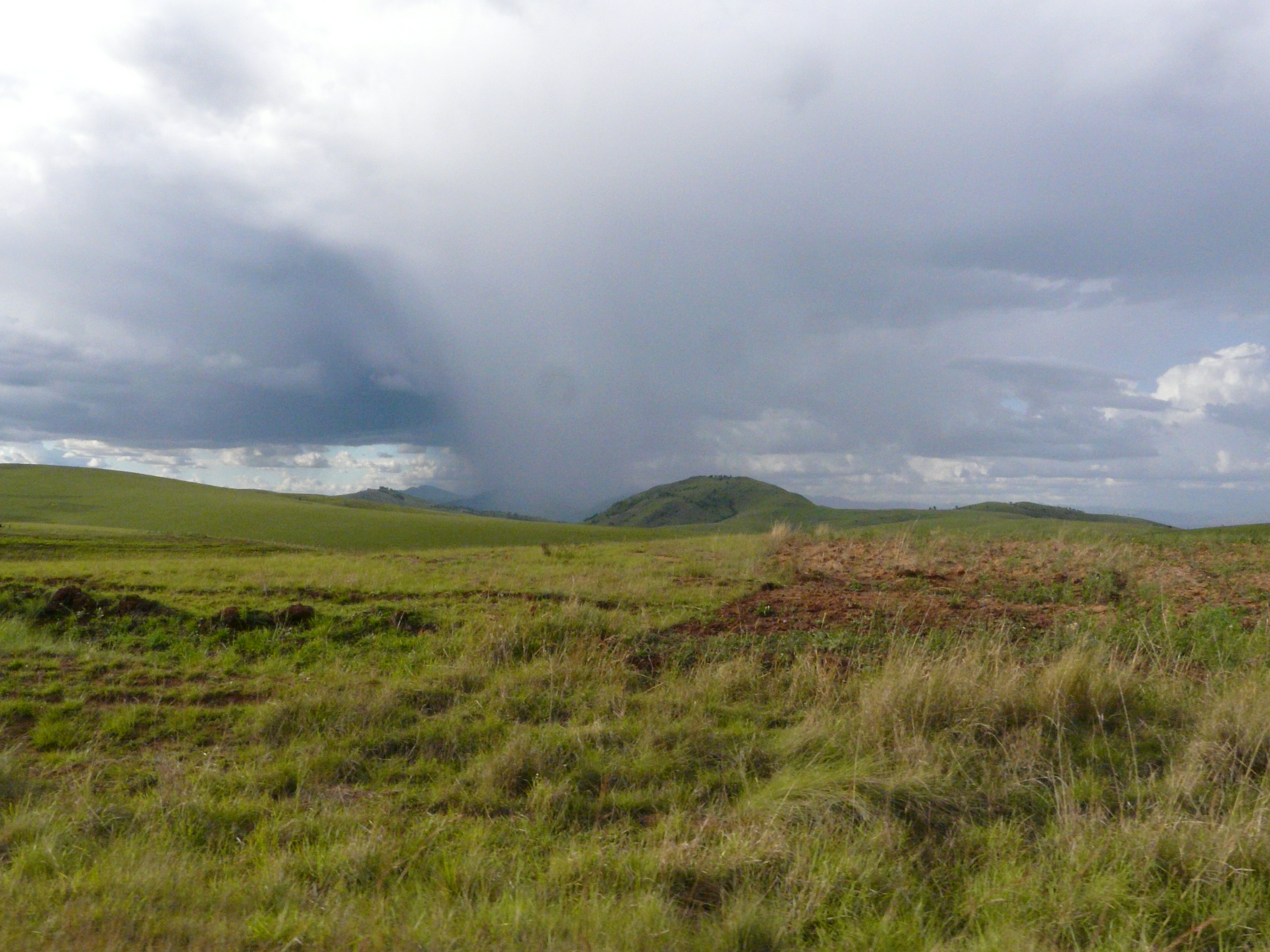
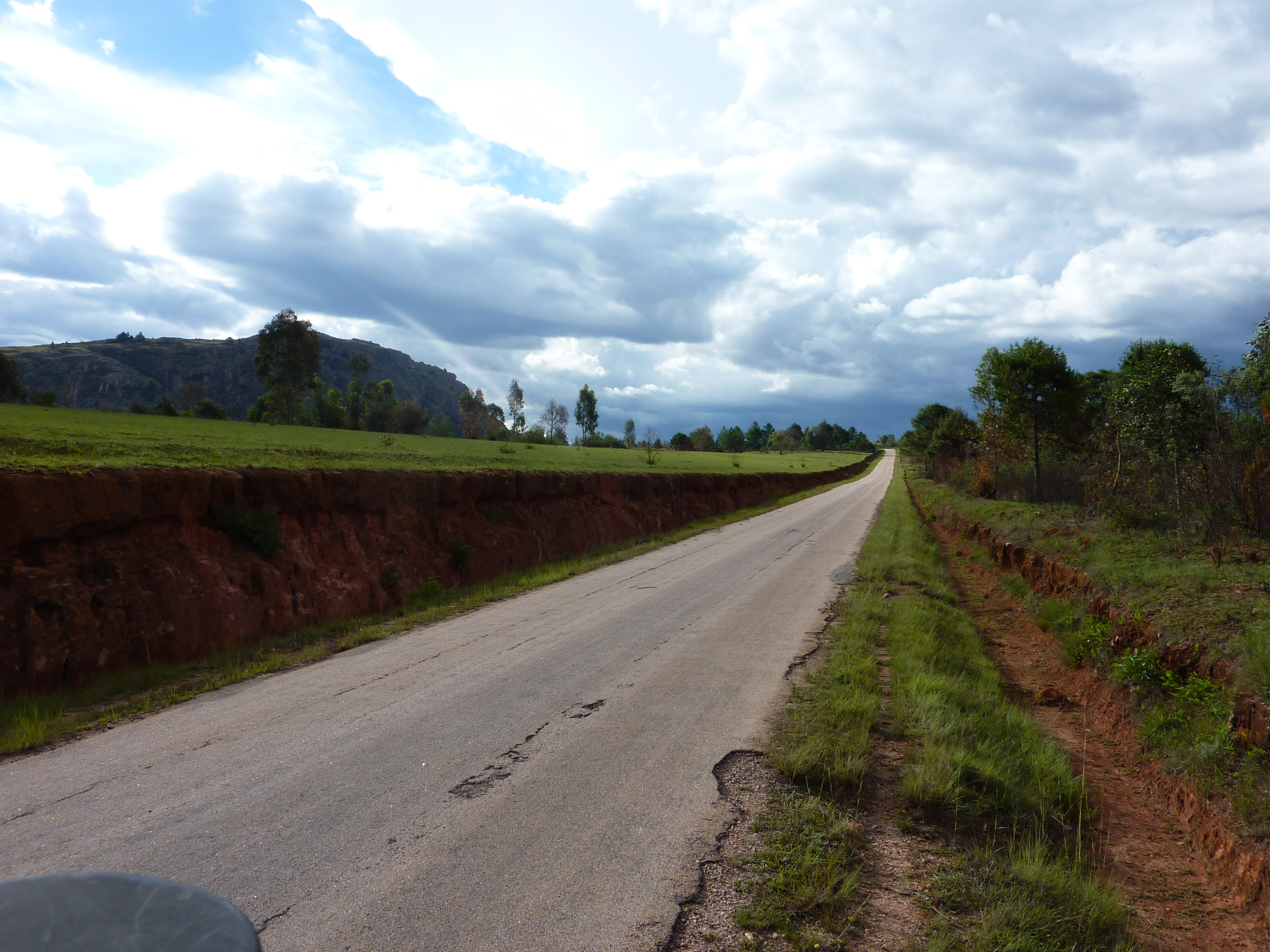
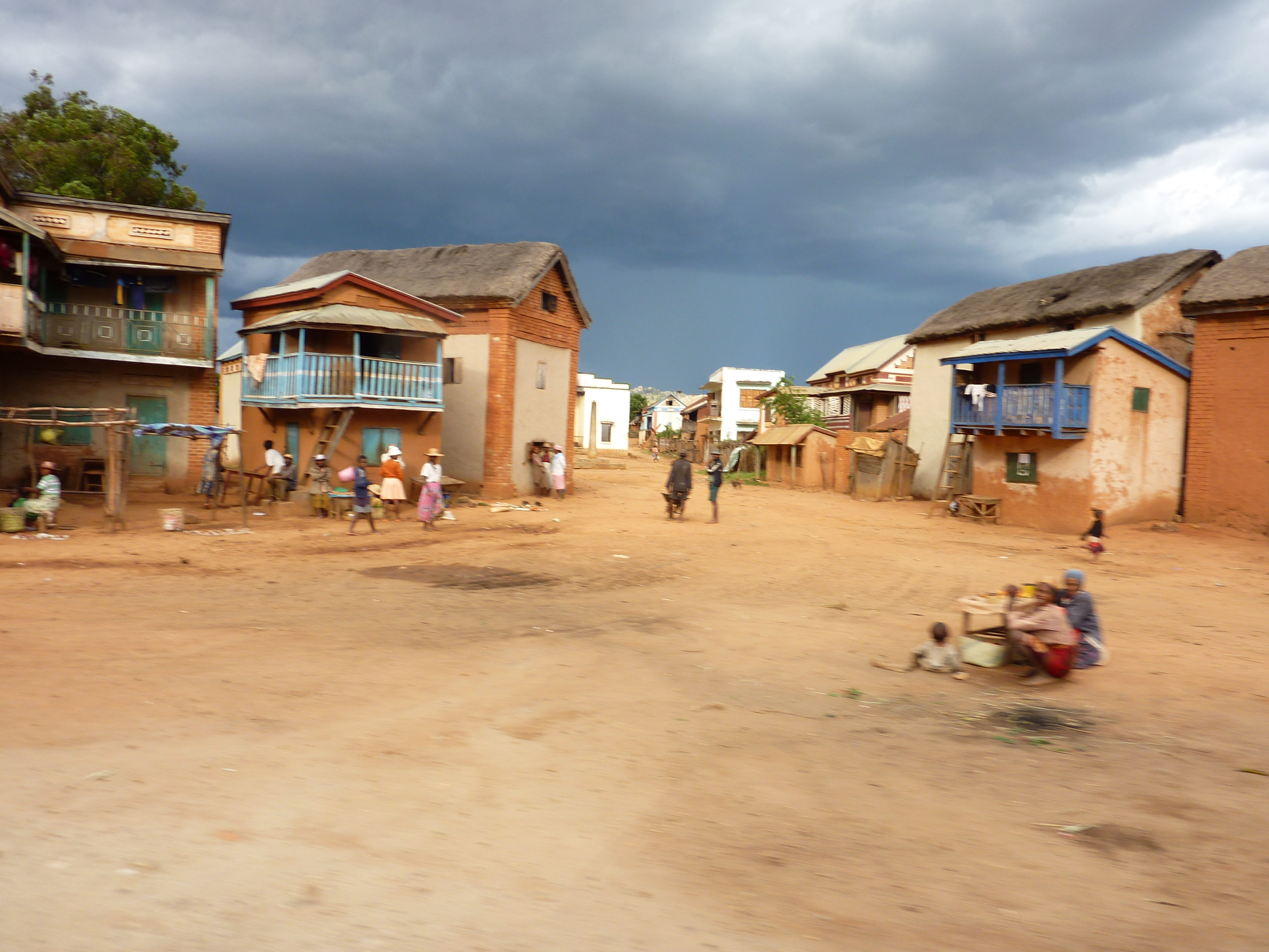
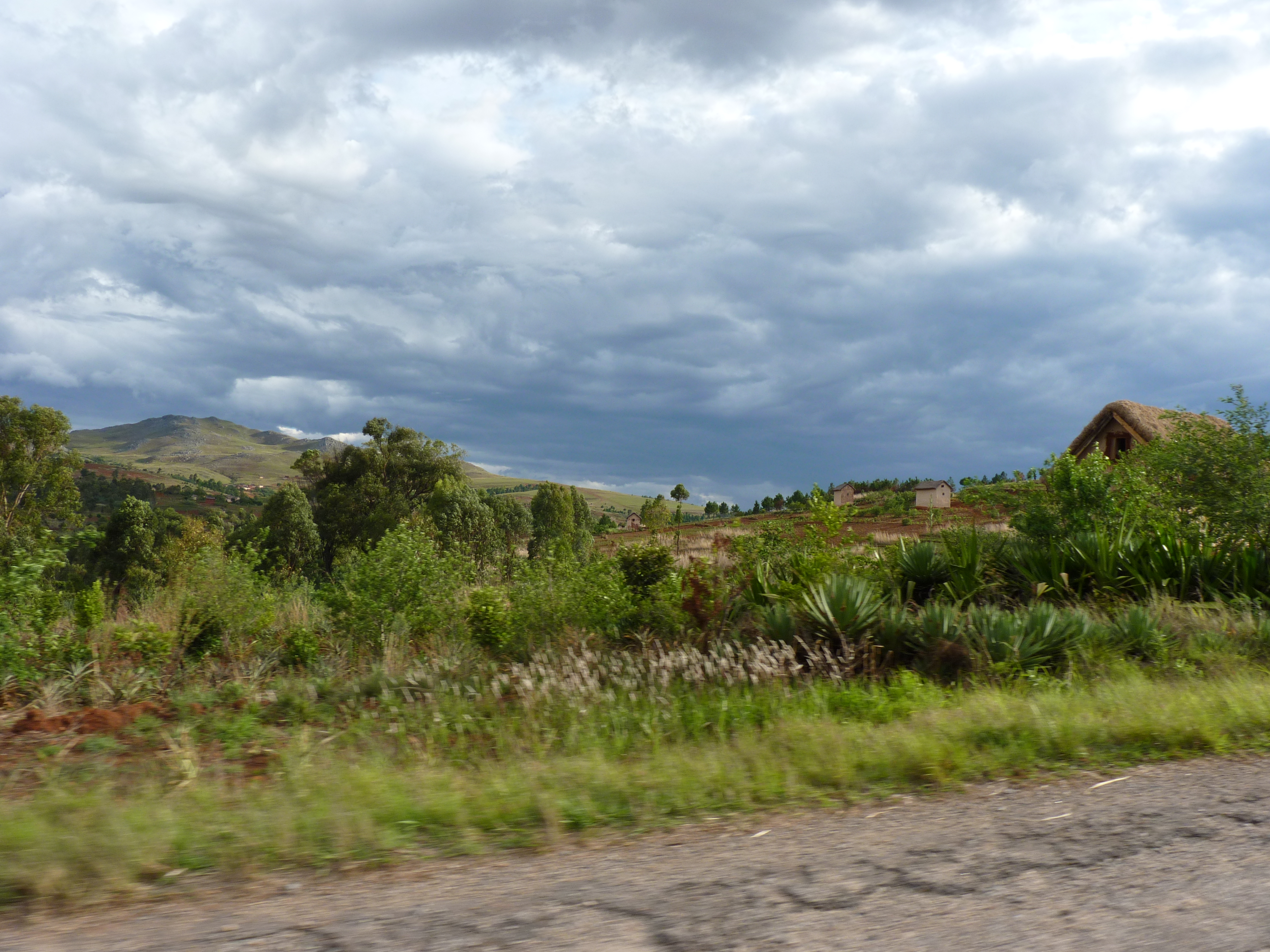
Related Photos:
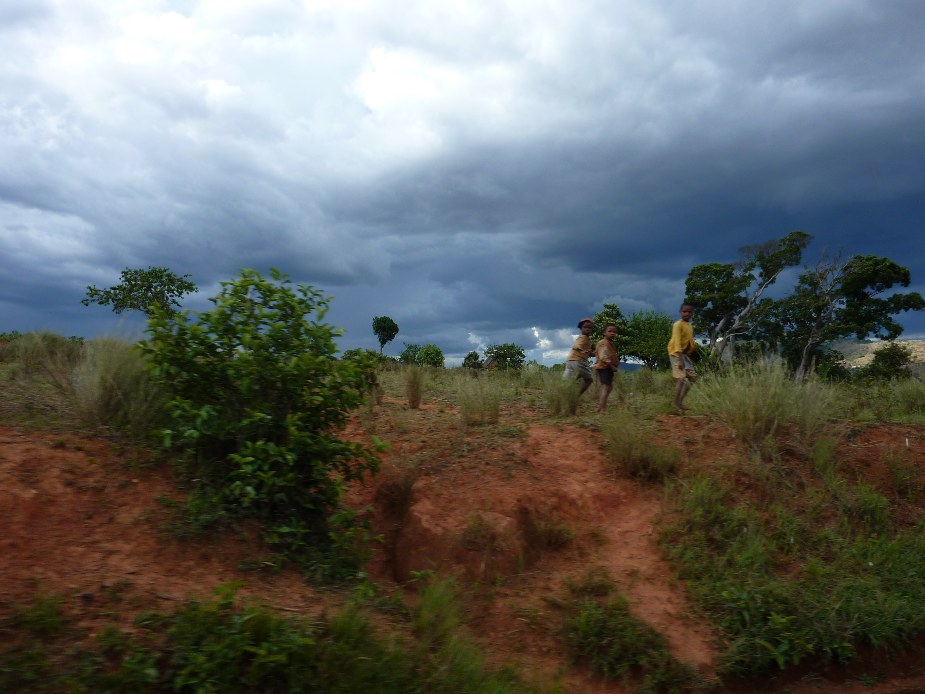
P1000318
P1000319
P1000317
P1000312
P1000314
IMG_2874
P1000315
IMG_2884

P1000310
P1080407
P1000308
P1000313

P1000316

P1000970
P1000974
P1000311
Topographic Map of Manandriana, Madagascar
Find elevation by address:

Places in Manandriana, Madagascar:
Places near Manandriana, Madagascar:
Recent Searches:
- Elevation of S Layton Cir W, Layton, UT, USA
- Elevation of F36W+3M, Mussoorie, Uttarakhand, India
- Elevation of Fairland Ave, Fairhope, AL, USA
- Elevation of Sunset Dr, Richmond, VA, USA
- Elevation of Grodna District, Hrodna Region, Belarus
- Elevation of Hrodna, Hrodna Region, Belarus
- Elevation of Sandia Derby Estates, Tijeras, NM, USA
- Elevation of 23 Sunrise View Ct, Tijeras, NM, USA
- Elevation of Lytham Ln, Katy, TX, USA
- Elevation of Tater Hill, Oklahoma, USA