Elevation of Malung S, Sweden
Location: Sweden > Dalarna County >
Longitude: 13.7308814
Latitude: 60.4799899
Elevation: 329m / 1079feet
Barometric Pressure: 97KPa
Elevation Map:
Satellite Map:
Related Photos:
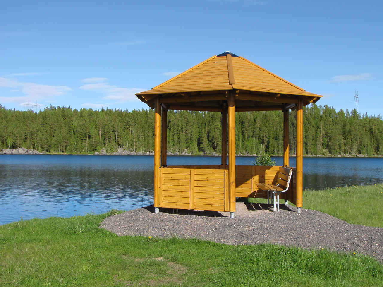
Dalarna - A Place for a little rest
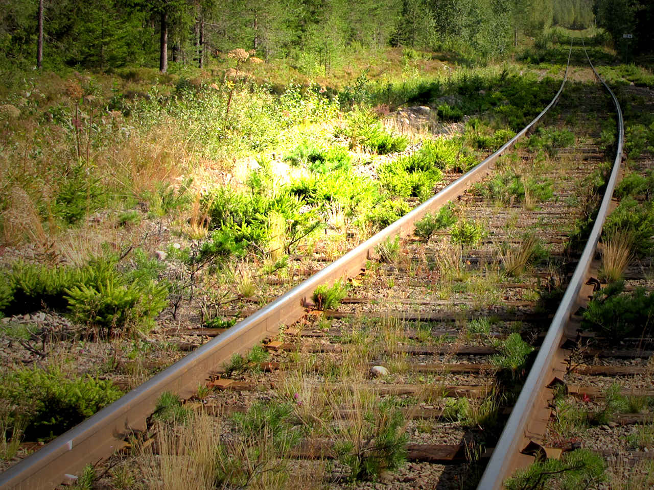
Voie Ferree Abandonnee

Lost Screw on old railway

Dennise,nei,benja

Lars-Bertil Ohlsson

Vera o

Joel pettersson

Nils, Elise, Matteus, Vanja

Besökare Samtidigt

Elle & Pappa

Rust in evening light
Going for a walk
pose & stones
Night of the Vampire

Blueberry Hill
Topographic Map of Malung S, Sweden
Find elevation by address:

Places in Malung S, Sweden:
TYNGSJÖVÄGEN 22, 54 Äppelbo, Sweden
LISSKOGSÅSEN 14, 91 Malung, Sweden
LÅNGSELEN 53, 91 Malung, Sweden
Places near Malung S, Sweden:
LÅNGSELEN 53, 91 Malung, Sweden
Nordanåker, 91 Malung, Sweden
Malung
LISSKOGSÅSEN 14, 91 Malung, Sweden
Malung N
RISMYRAN 10, 64 Lima, Sweden
Västra Tandö
Skärgårdsvägen 53, 93 Venjan, Sweden
Mora V
Unnamed Road
Malung Nv
Branäsberget
Älvdalen S
Älvdalen
Torsby
Sälen
Rotennäsvägen 10, 90 Älvdalen, Sweden
Vingäng 2, 60 Sysslebäck, Sweden
Vingäng
330b
Recent Searches:
- Elevation of Luther Road, Luther Rd, Auburn, CA, USA
- Elevation of Unnamed Road, Respublika Severnaya Osetiya — Alaniya, Russia
- Elevation of Verkhny Fiagdon, North Ossetia–Alania Republic, Russia
- Elevation of F. Viola Hiway, San Rafael, Bulacan, Philippines
- Elevation of Herbage Dr, Gulfport, MS, USA
- Elevation of Lilac Cir, Haldimand, ON N3W 2G9, Canada
- Elevation of Harrod Branch Road, Harrod Branch Rd, Kentucky, USA
- Elevation of Wyndham Grand Barbados Sam Lords Castle All Inclusive Resort, End of Belair Road, Long Bay, Bridgetown Barbados
- Elevation of Iga Trl, Maggie Valley, NC, USA
- Elevation of N Co Rd 31D, Loveland, CO, USA