Elevation of Mallet Rd, Arnaudville, LA, USA
Location: United States > Louisiana > St. Landry Parish > > Arnaudville >
Longitude: -91.922637
Latitude: 30.4639034
Elevation: 6m / 20feet
Barometric Pressure: 101KPa
Elevation Map:
Satellite Map:
Related Photos:
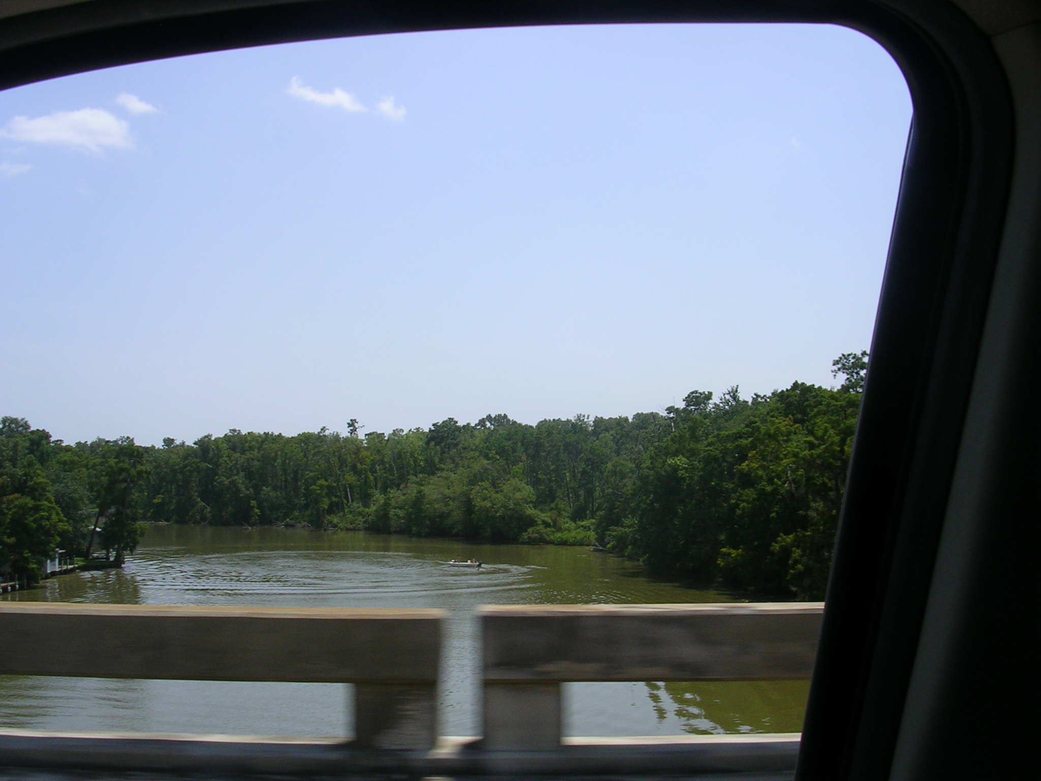
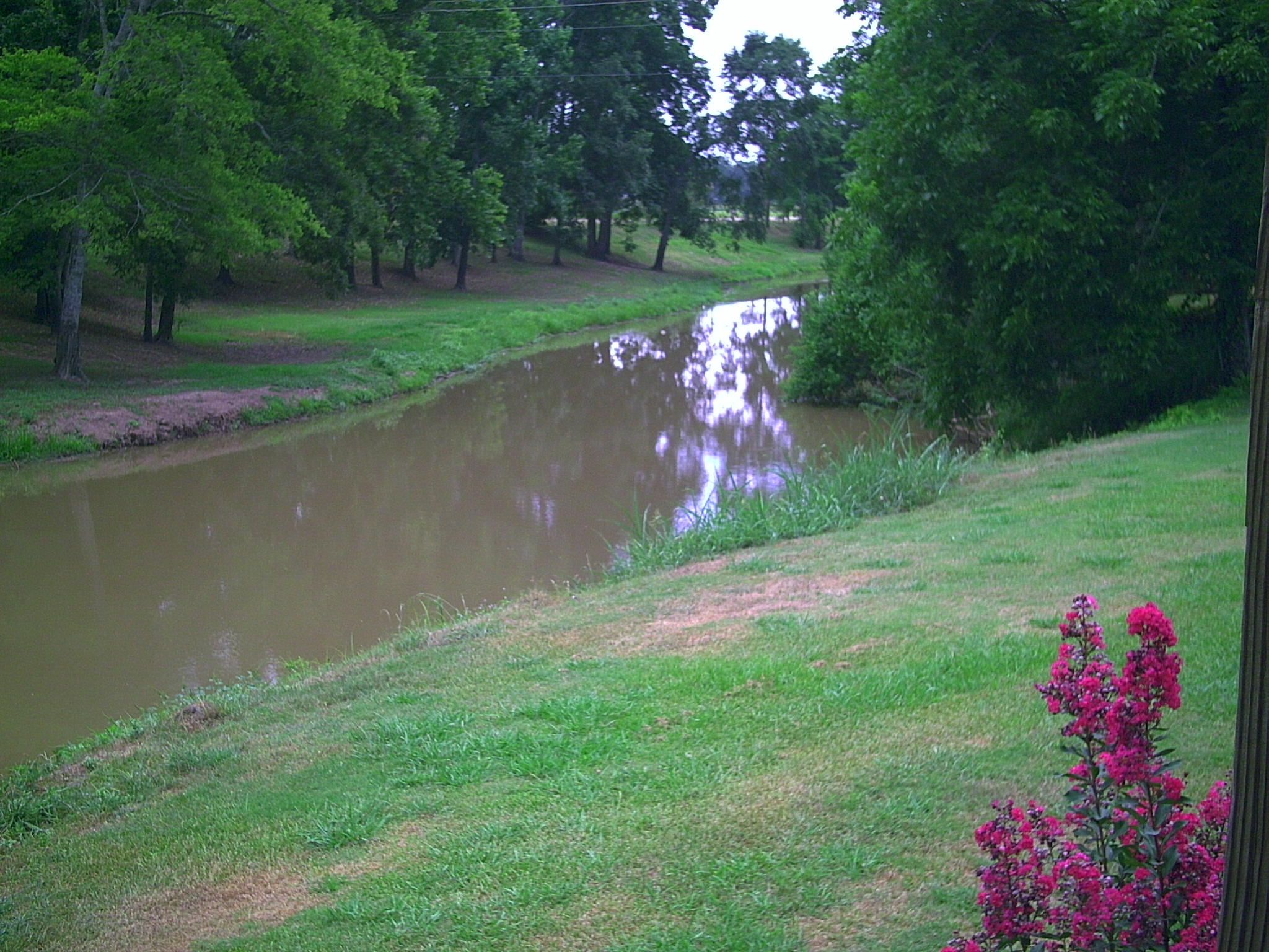
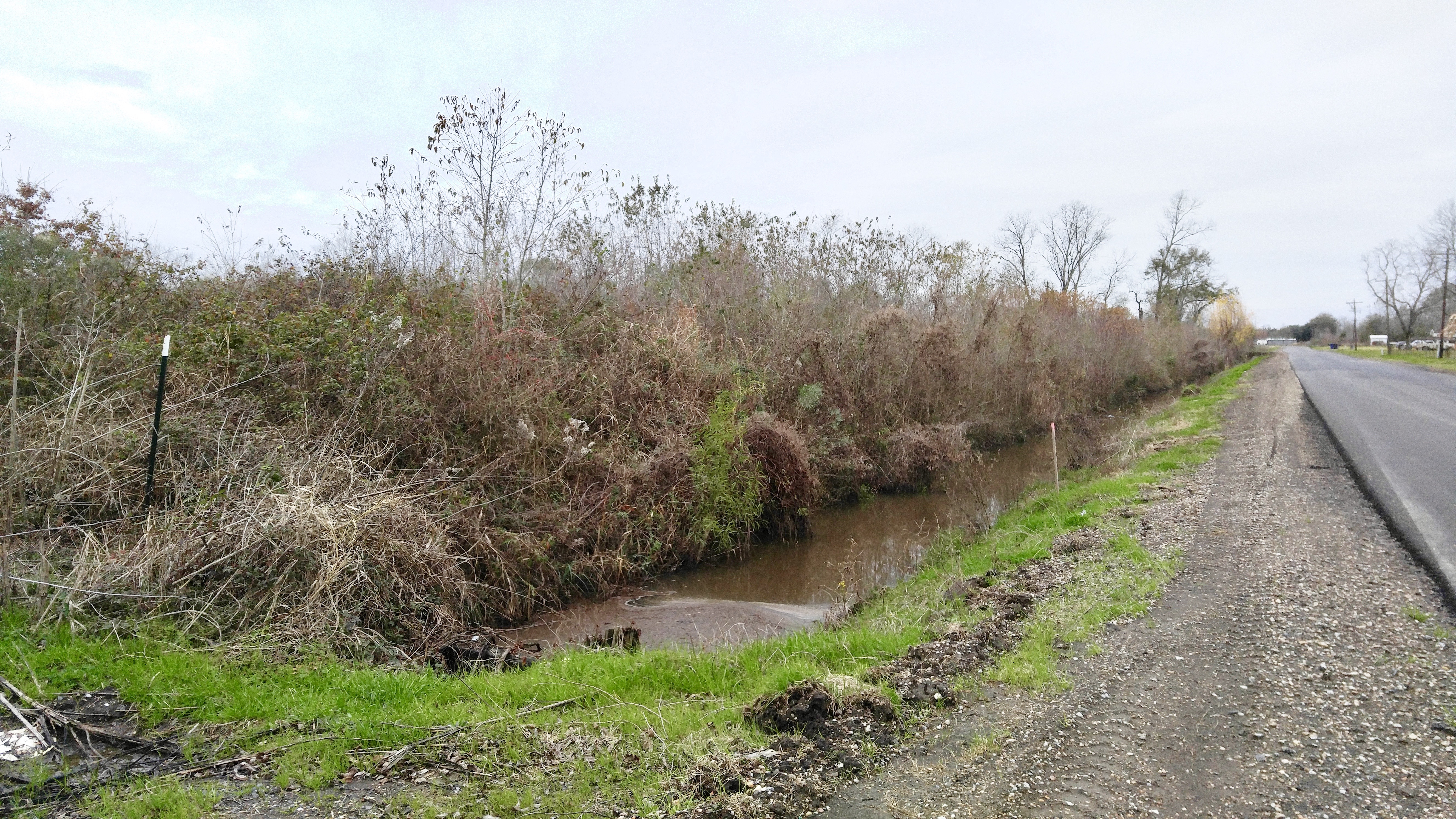
A creek

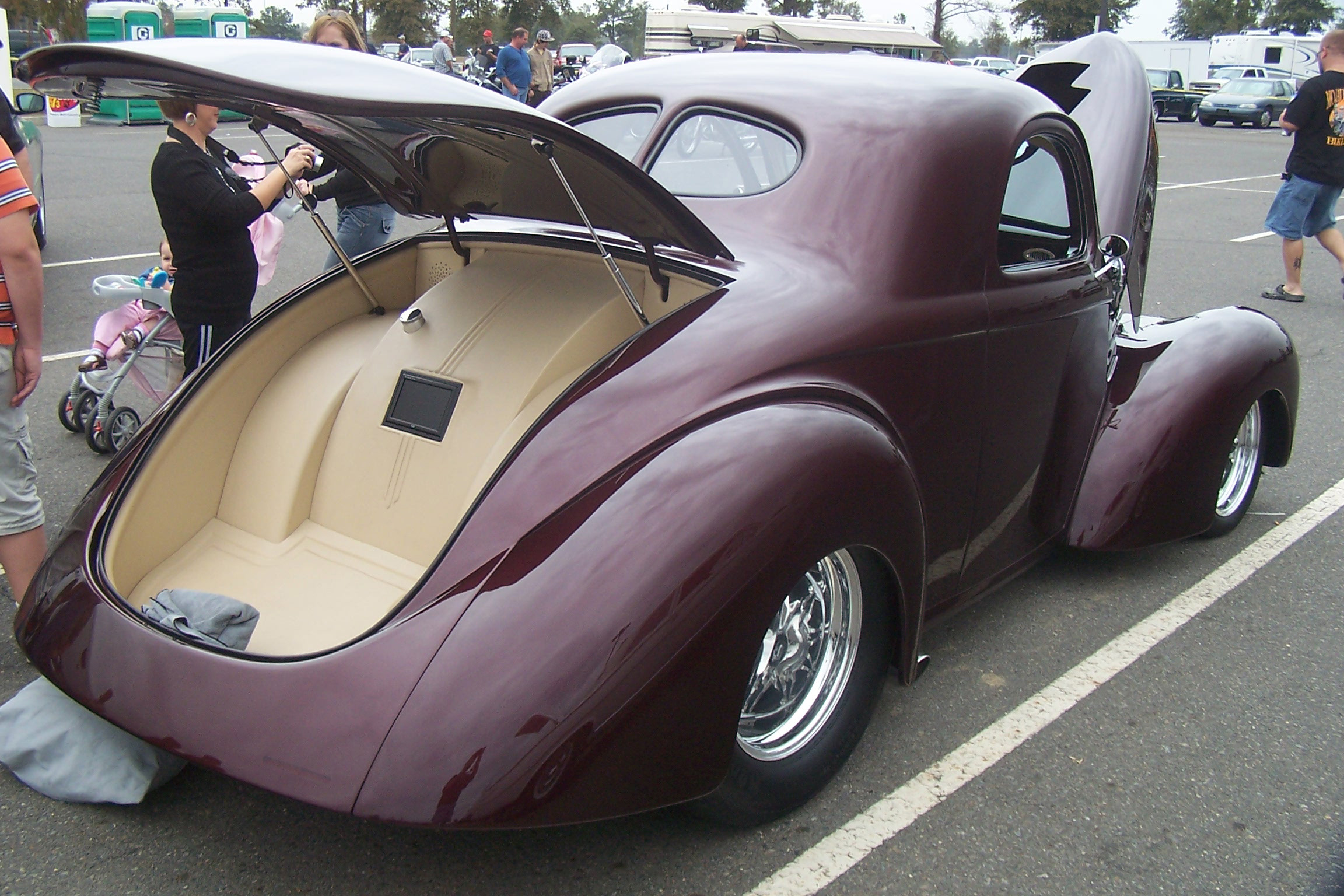
Red, White and Bruise
Split Window View
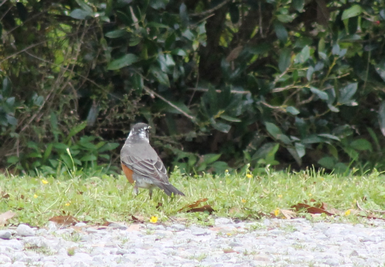
IMG_3261 Leucistic American Robin
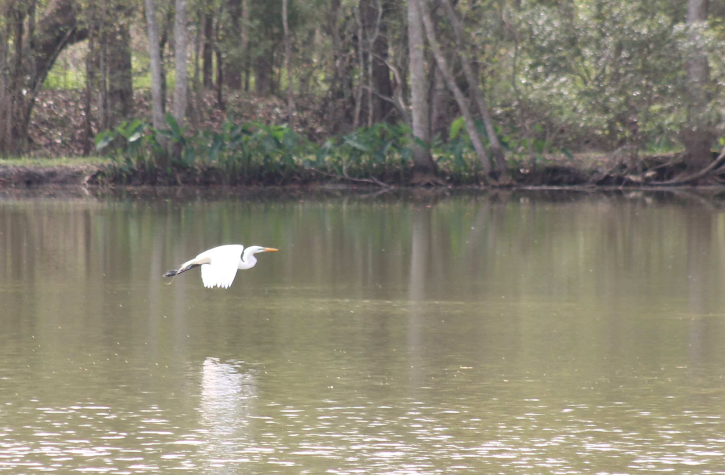
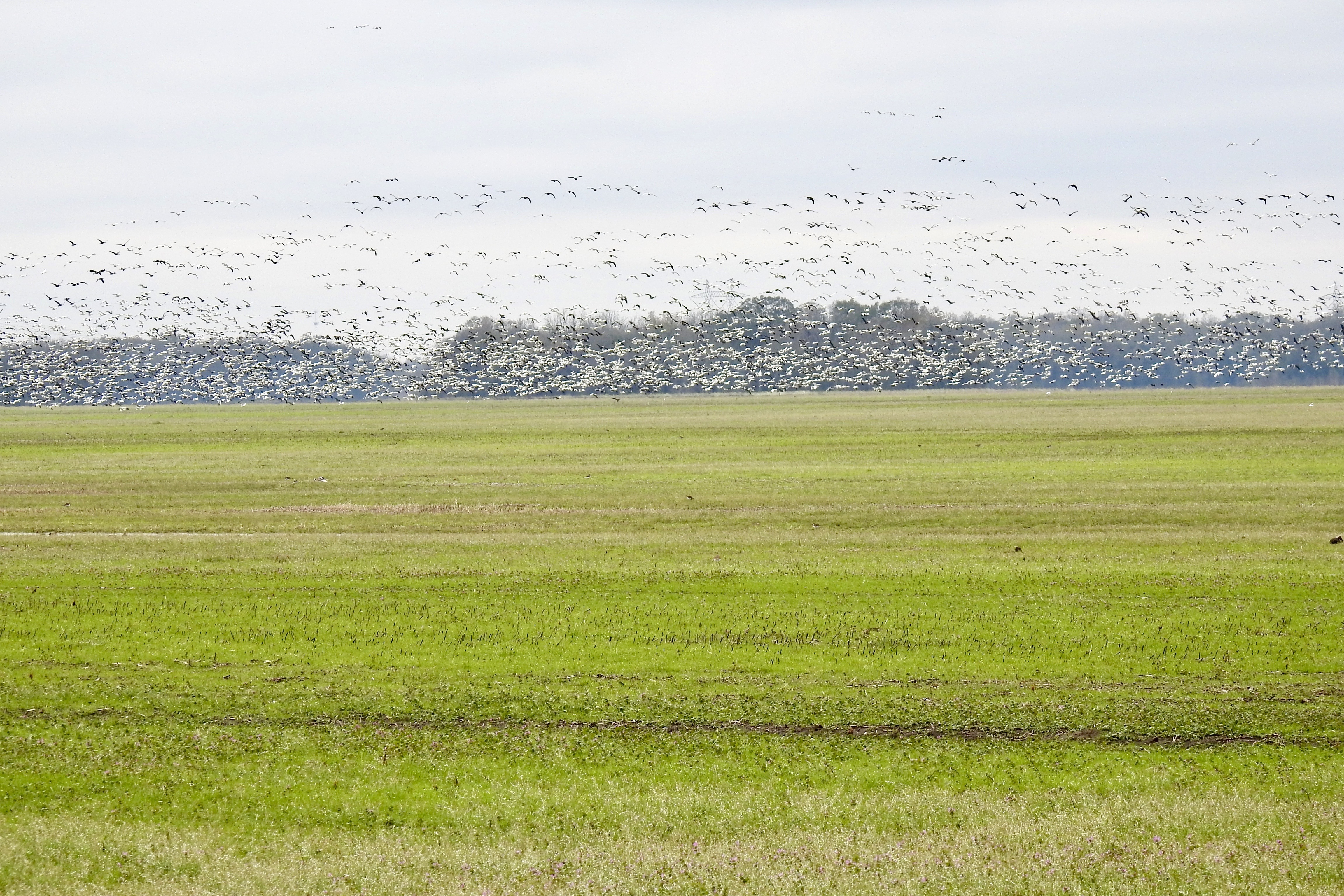
IMG_3257 Great Egret in flight
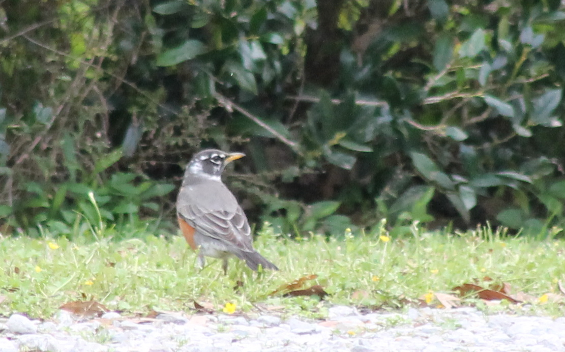
IMG_3264 Leucistic American Robin

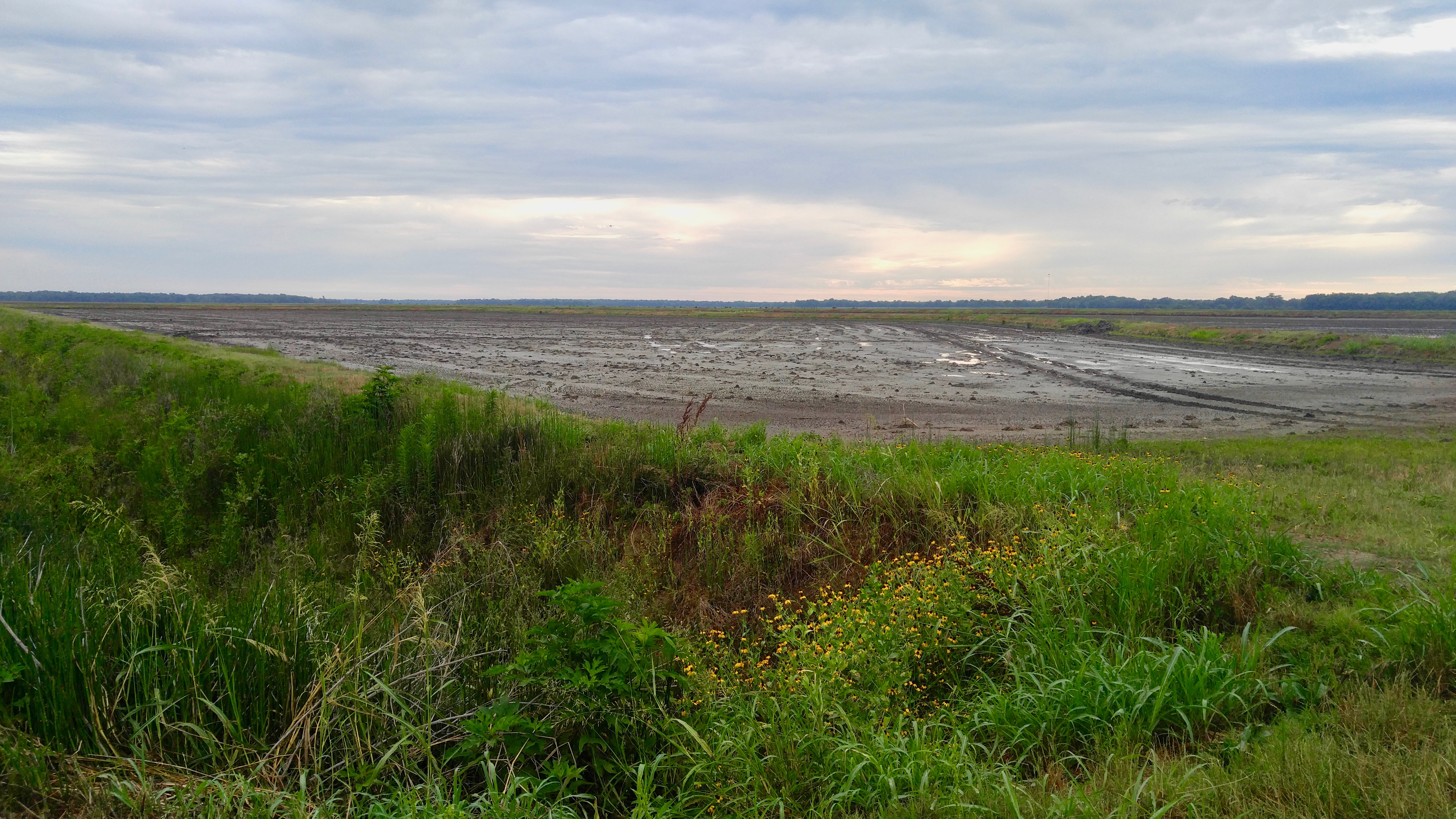
Bayou Gerimond Rd.
Botany Bay Rd.
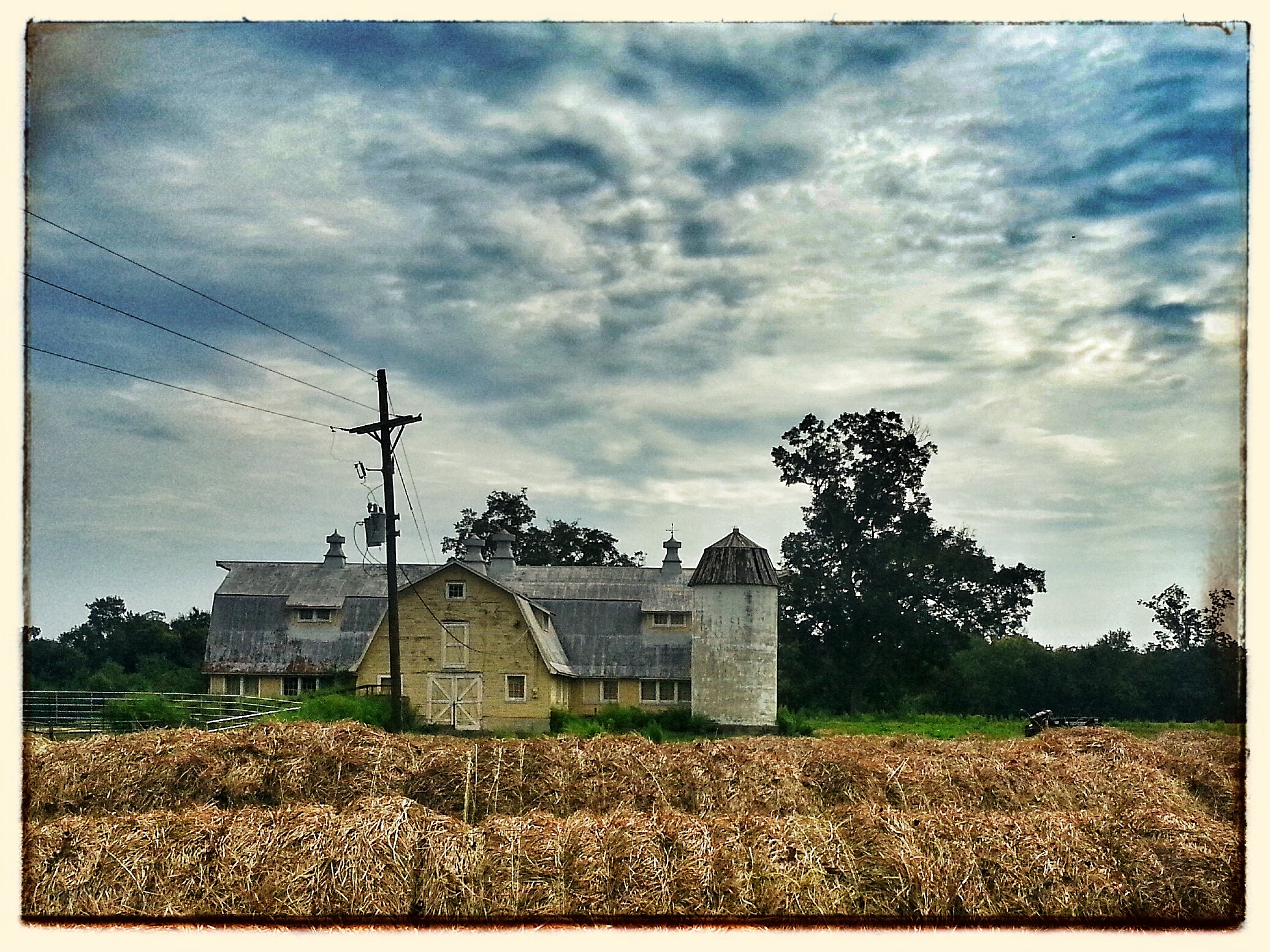
Yellow Barn
Botany Bay Rd.
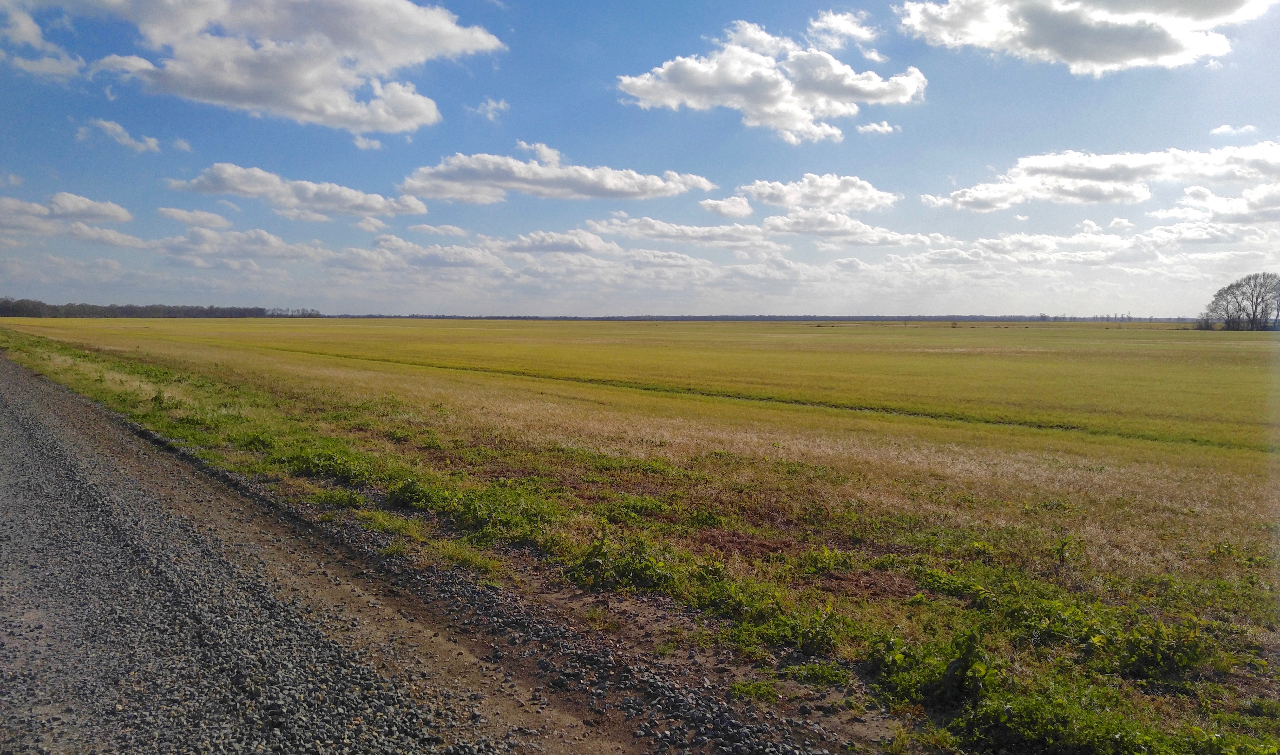
Olivier Farms
Botany Bay Rd.
Botany Bay Rd.
Bayou Gerimond Rd.

Smoldering House No 1 (iPhone)
Olivier Farms off Botany Bay Rd.

Bayou Teche Arnaudville Church
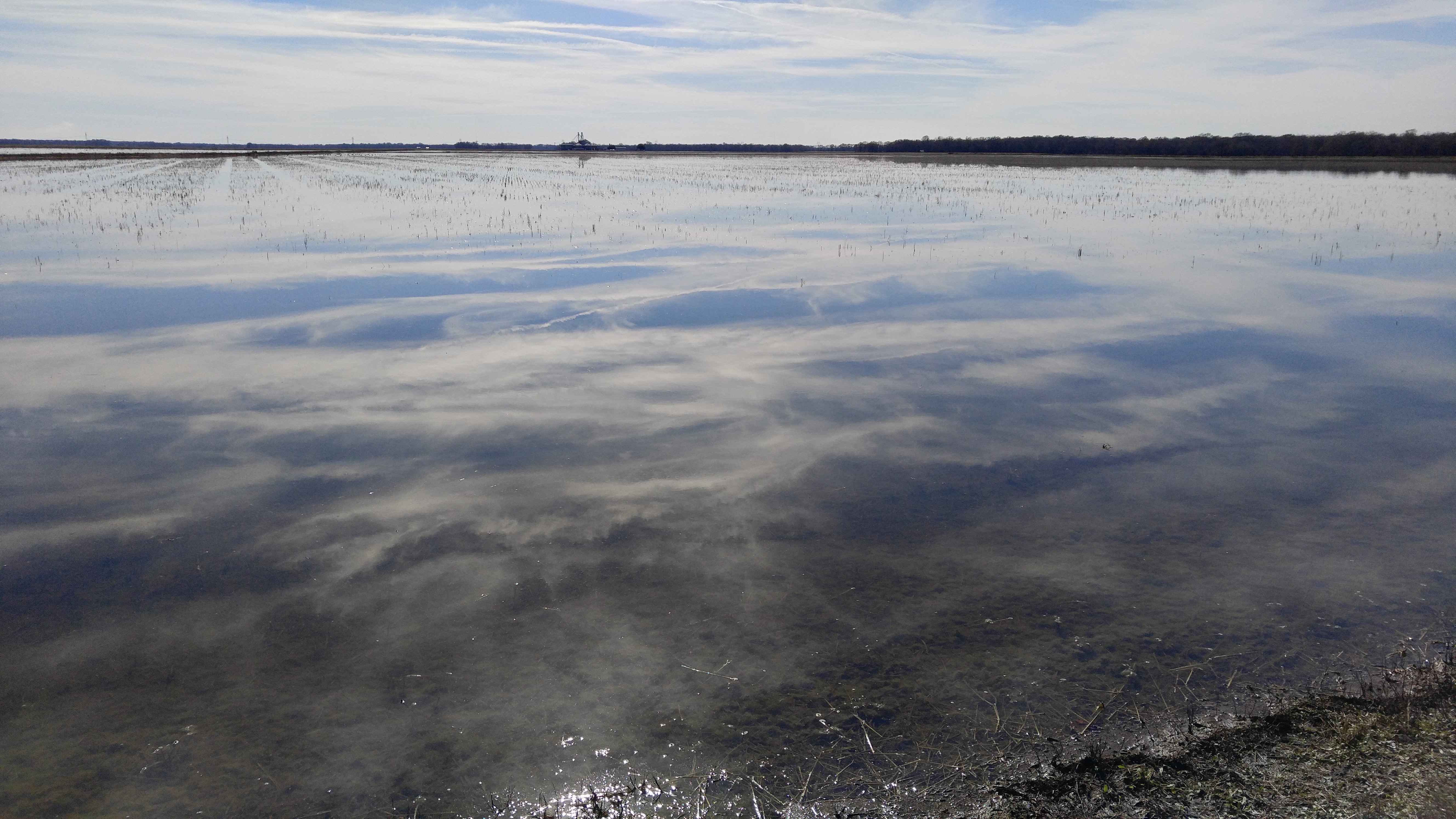
Bayou Fuselier Arnaudville

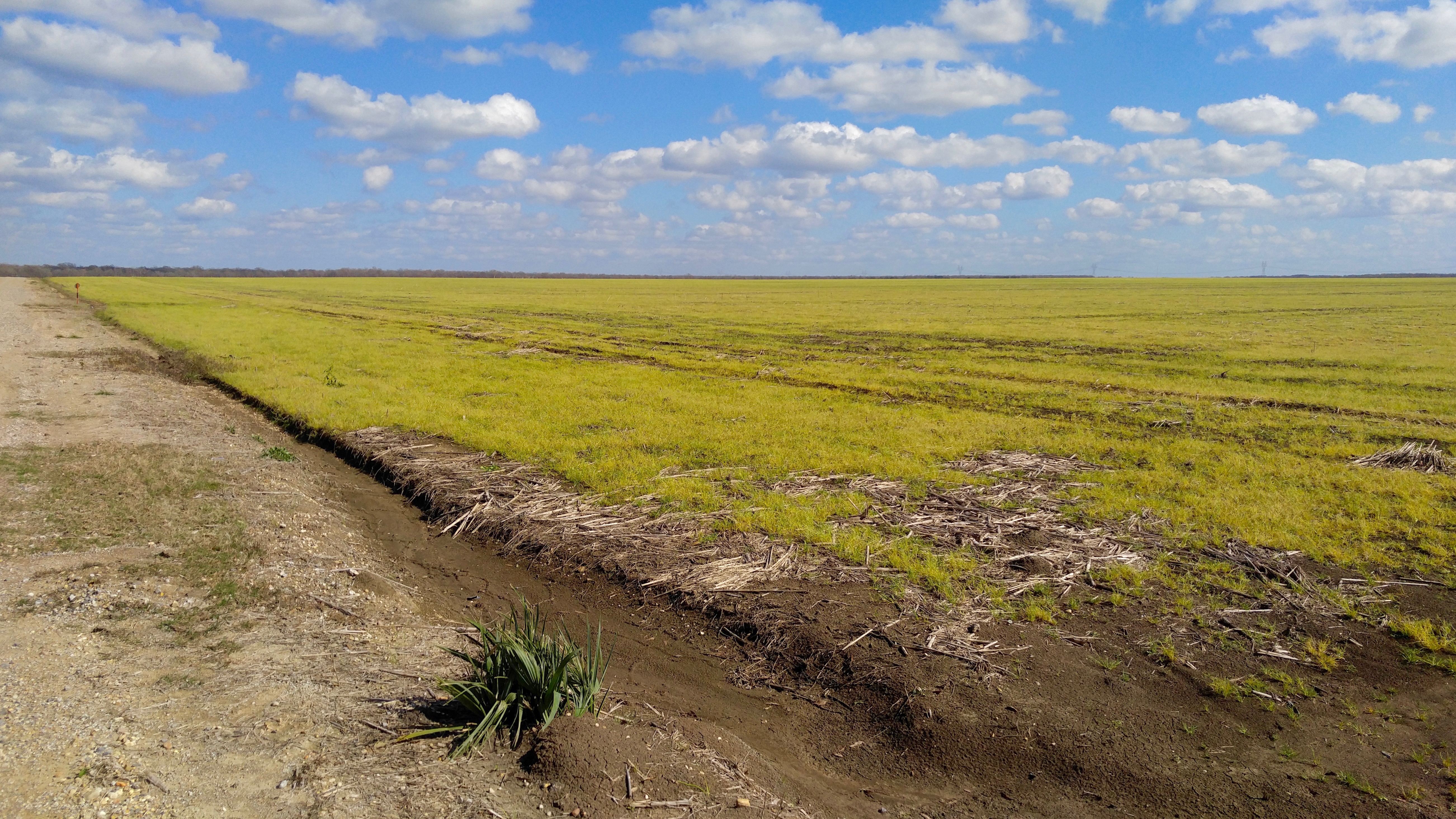
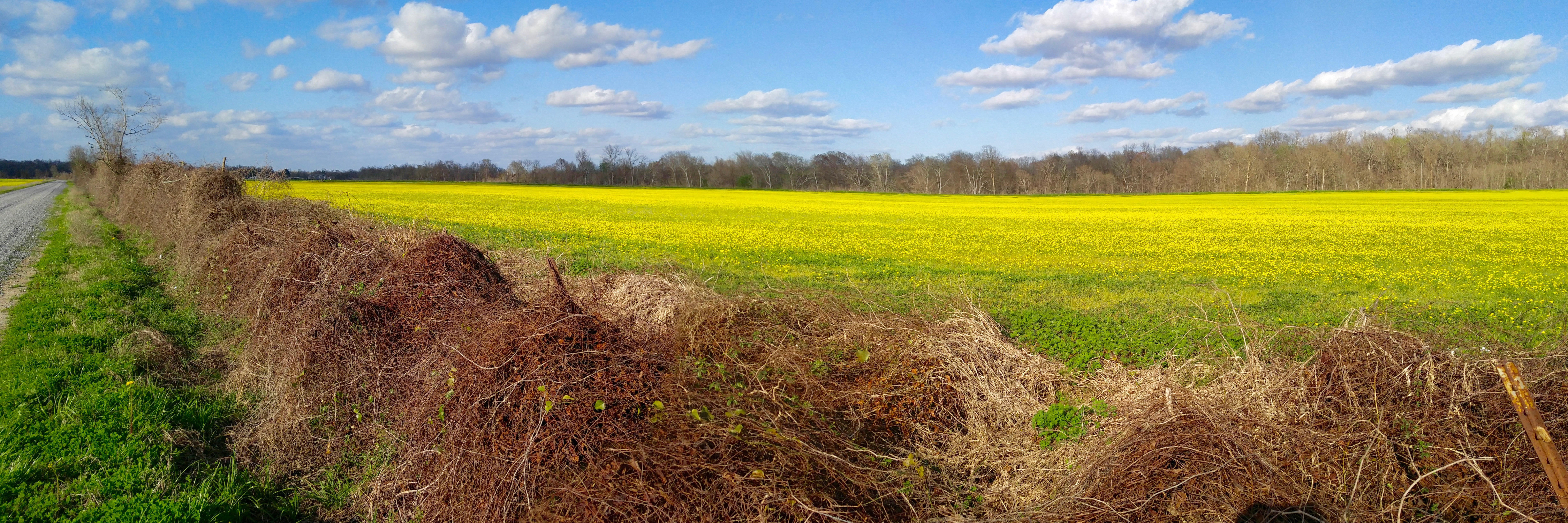
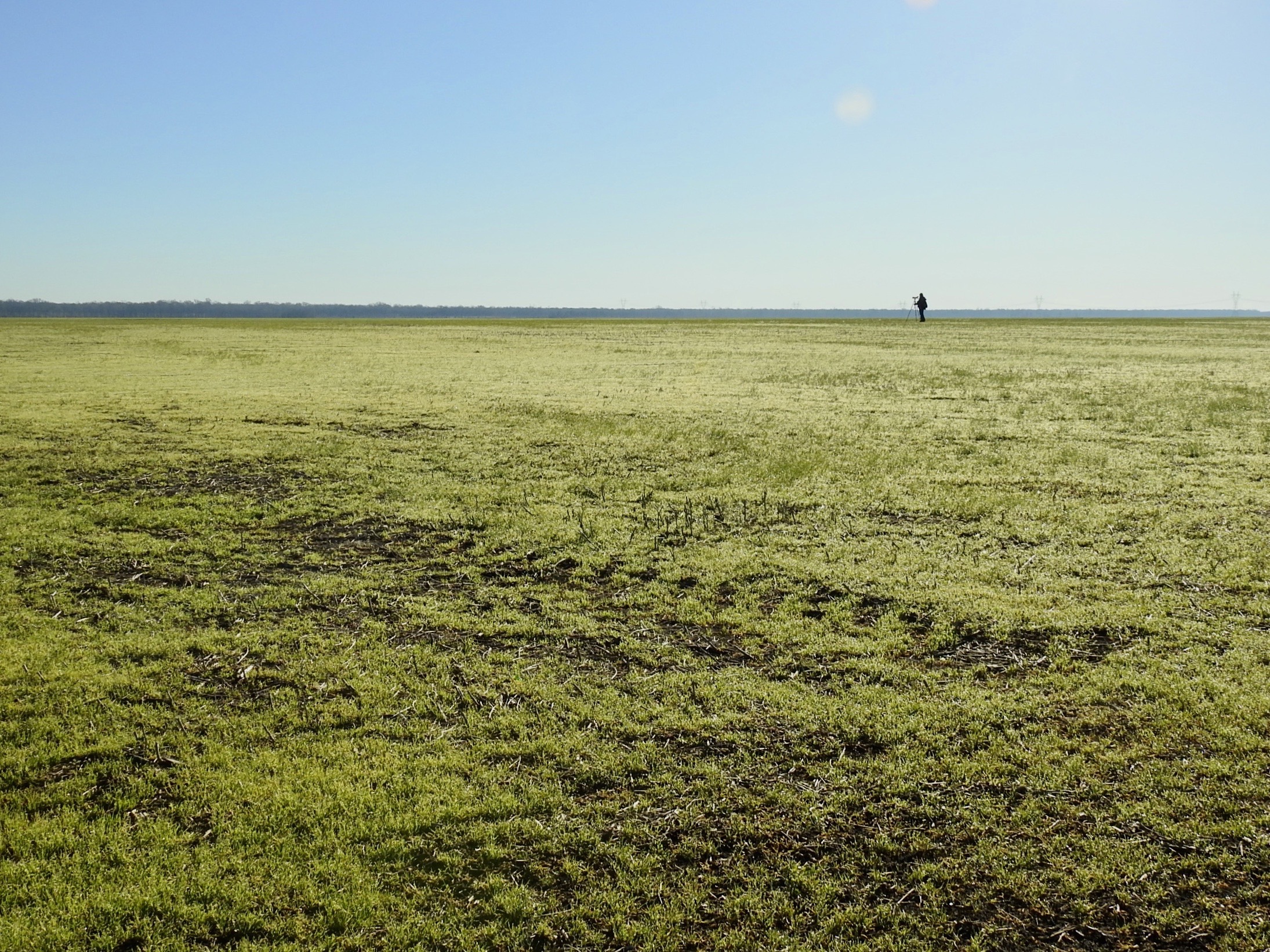
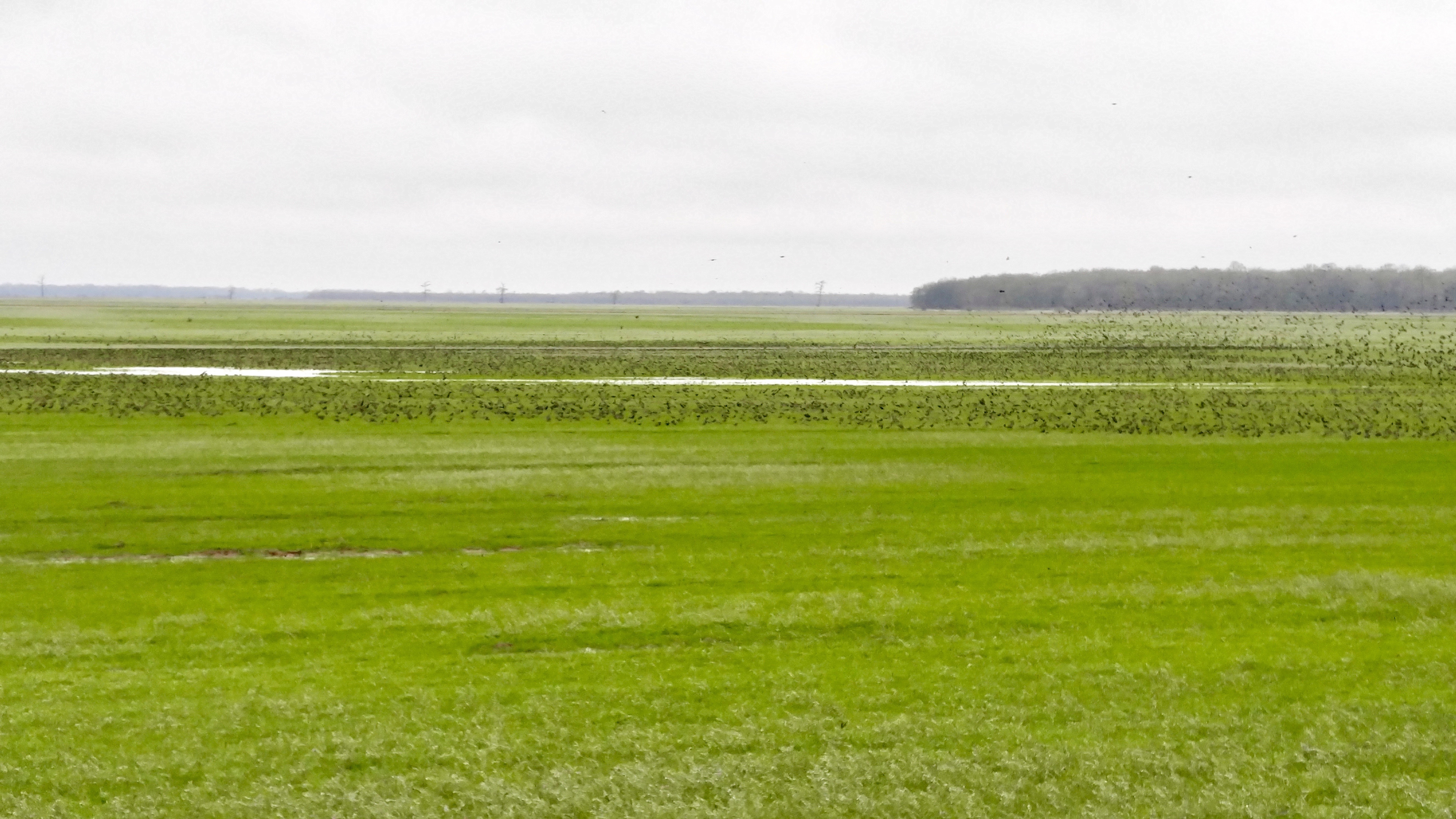
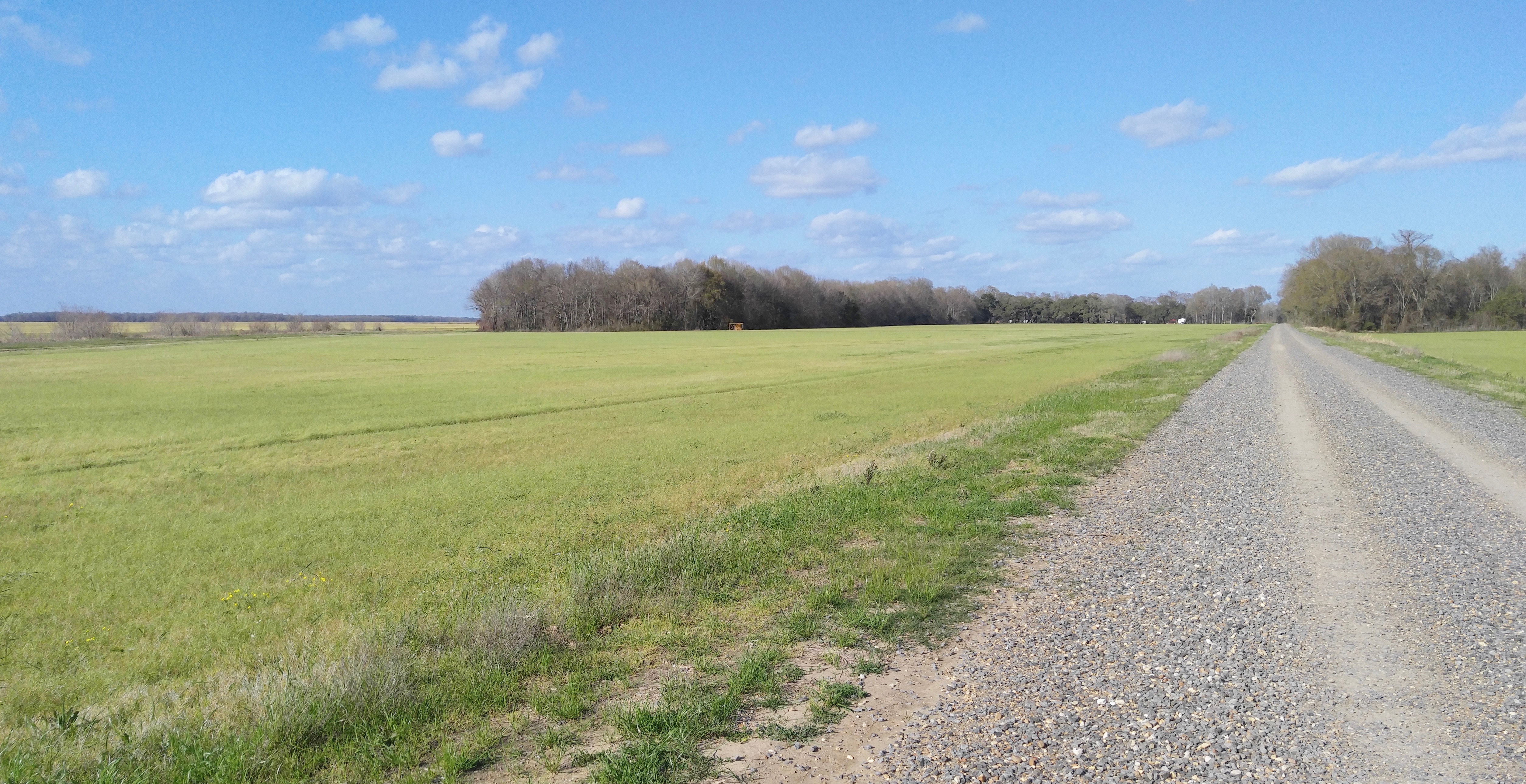
Winter Grass
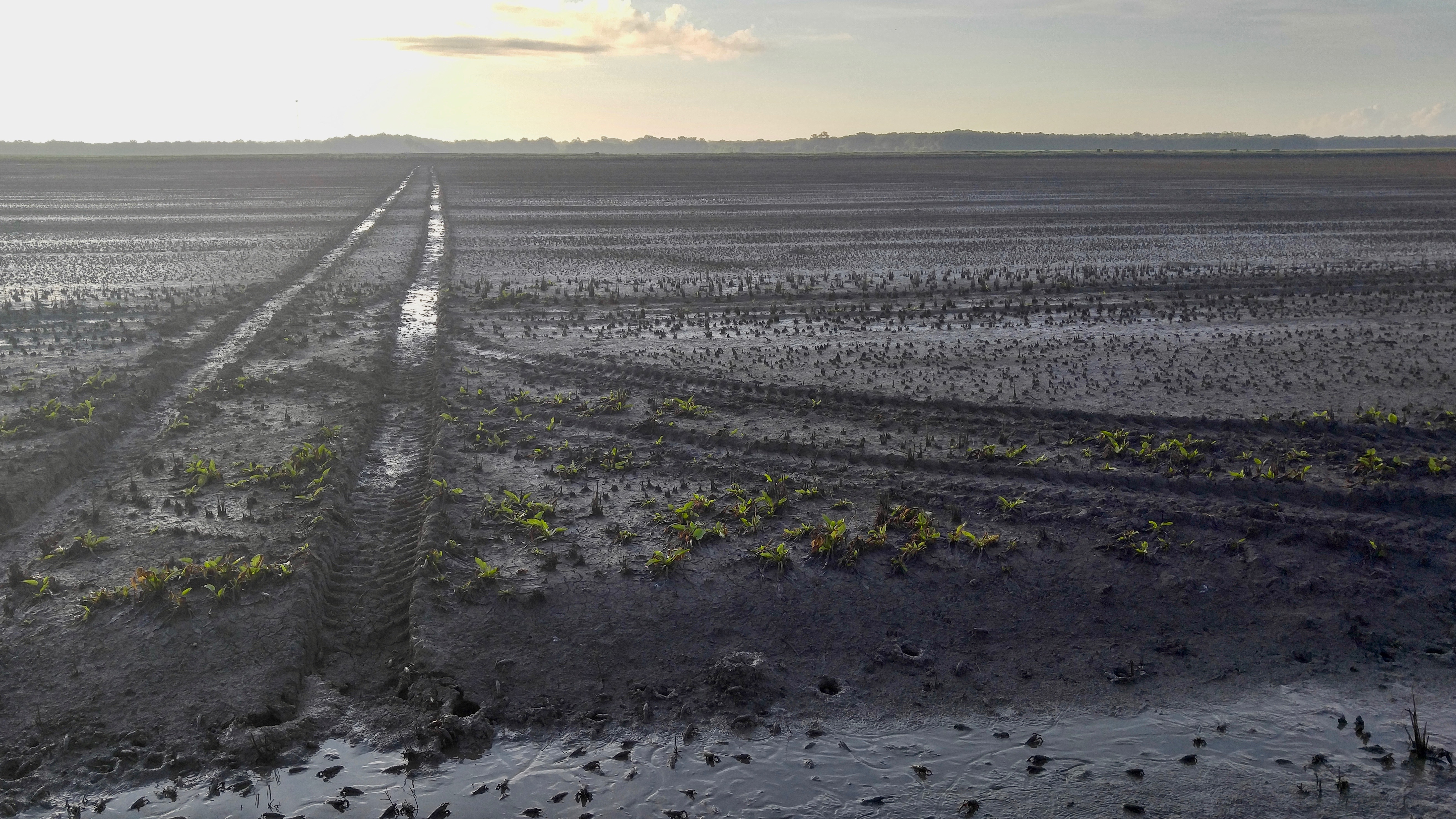
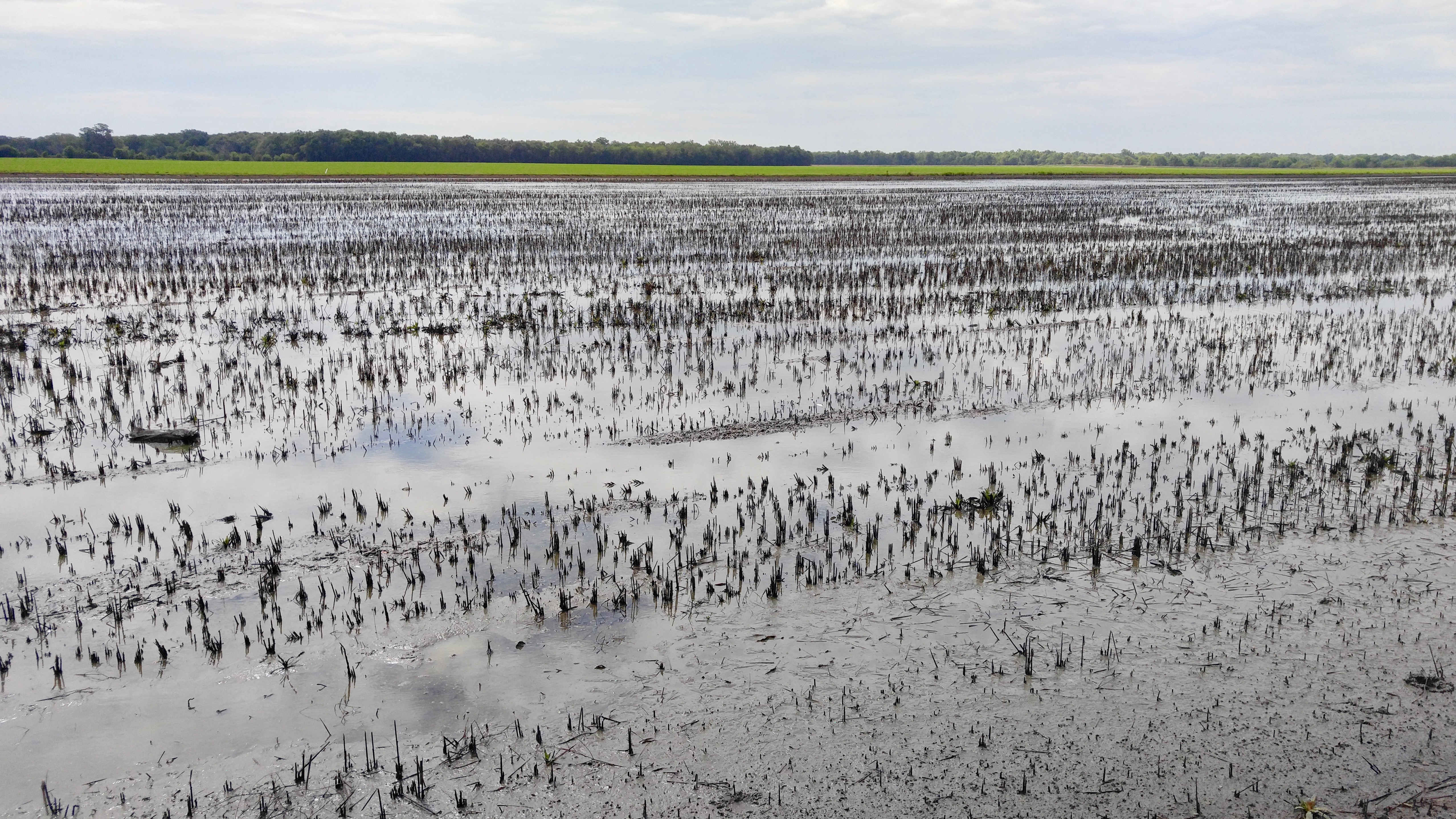
Bayou Gerimond Rd.
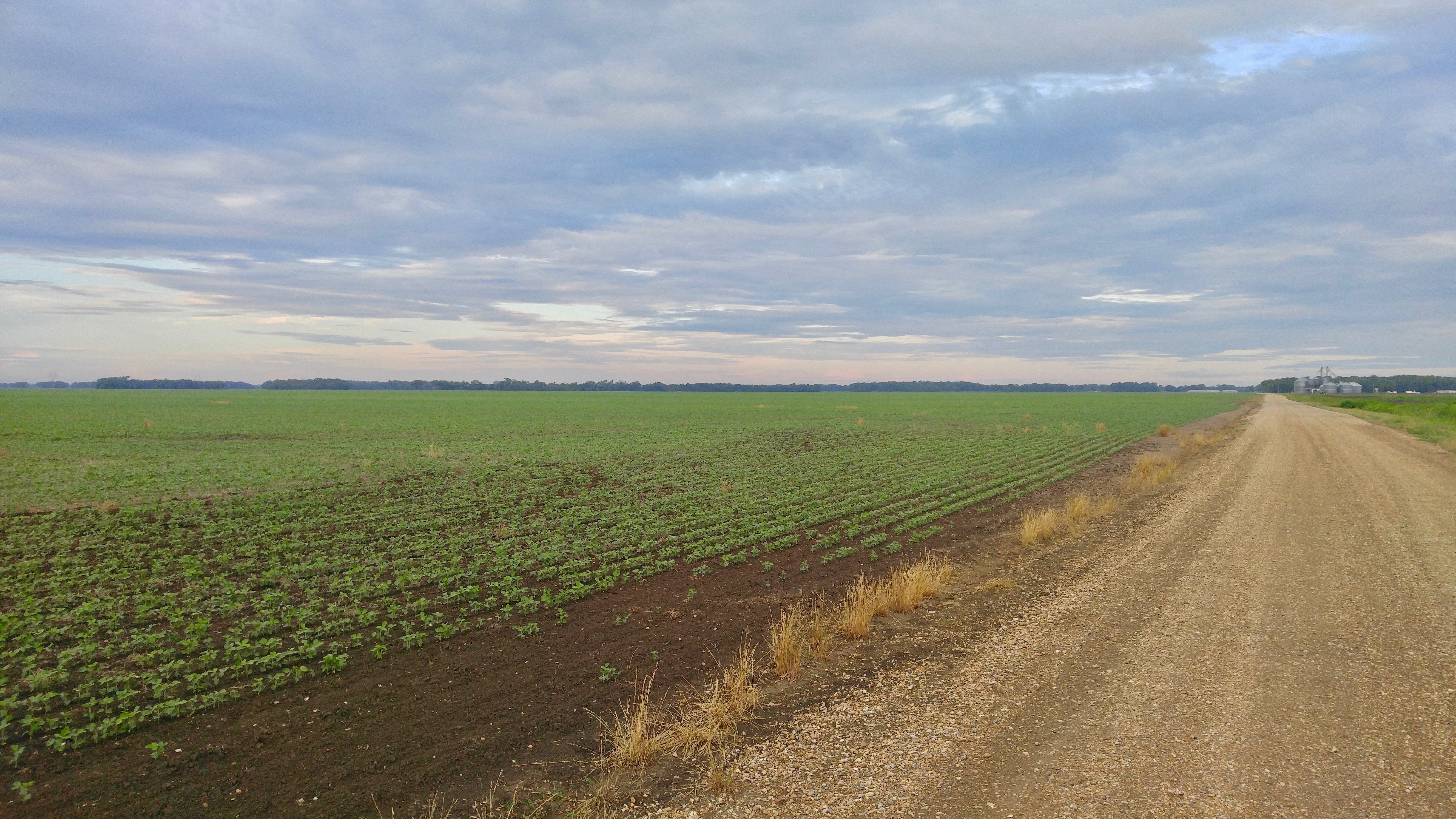
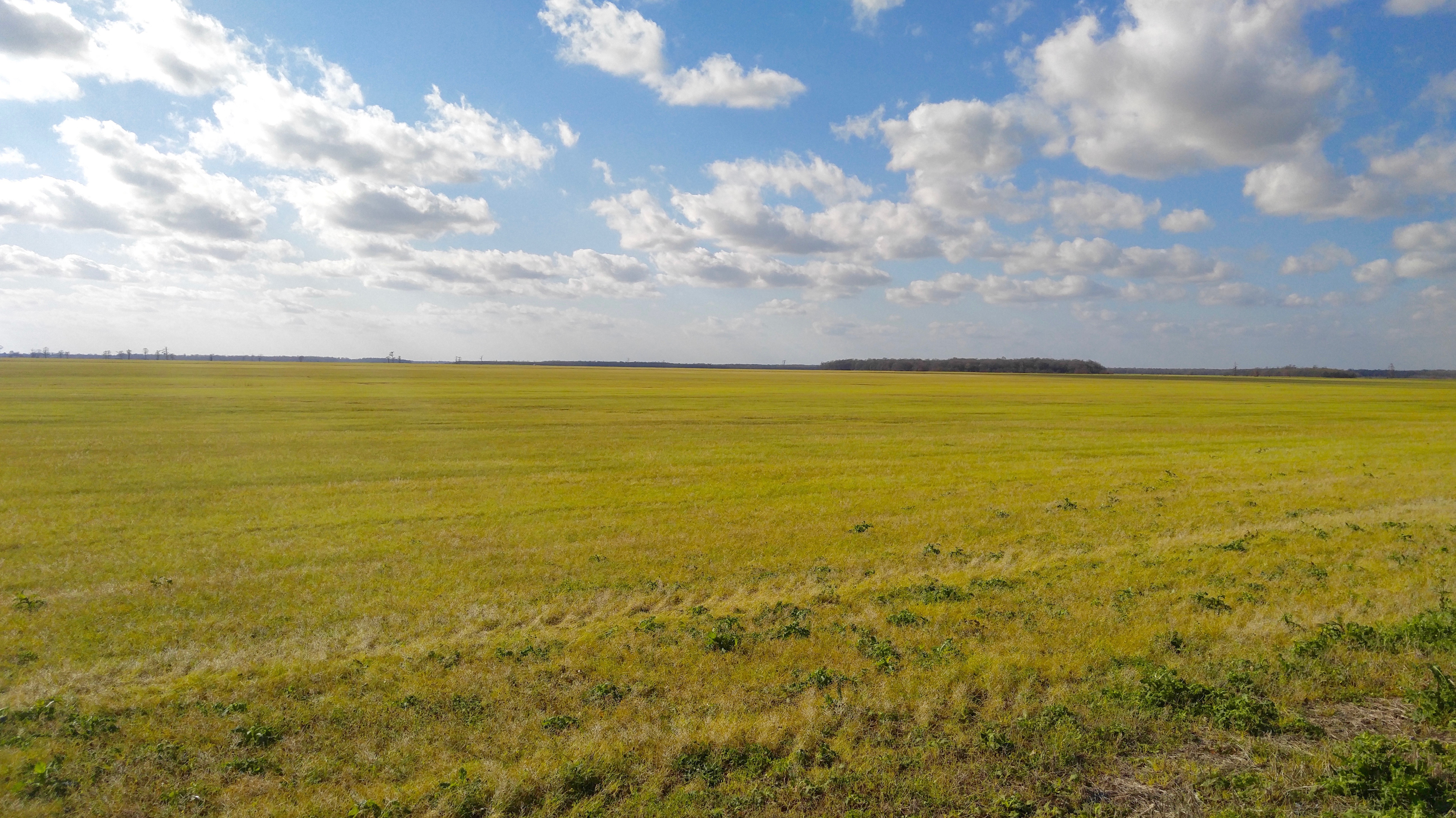
Olivier Farms
Bayou Germond Rd.
Bayou Gerimond Rd.
Olivier Farms
Olivier Farms
Bayou Gerimond Rd.
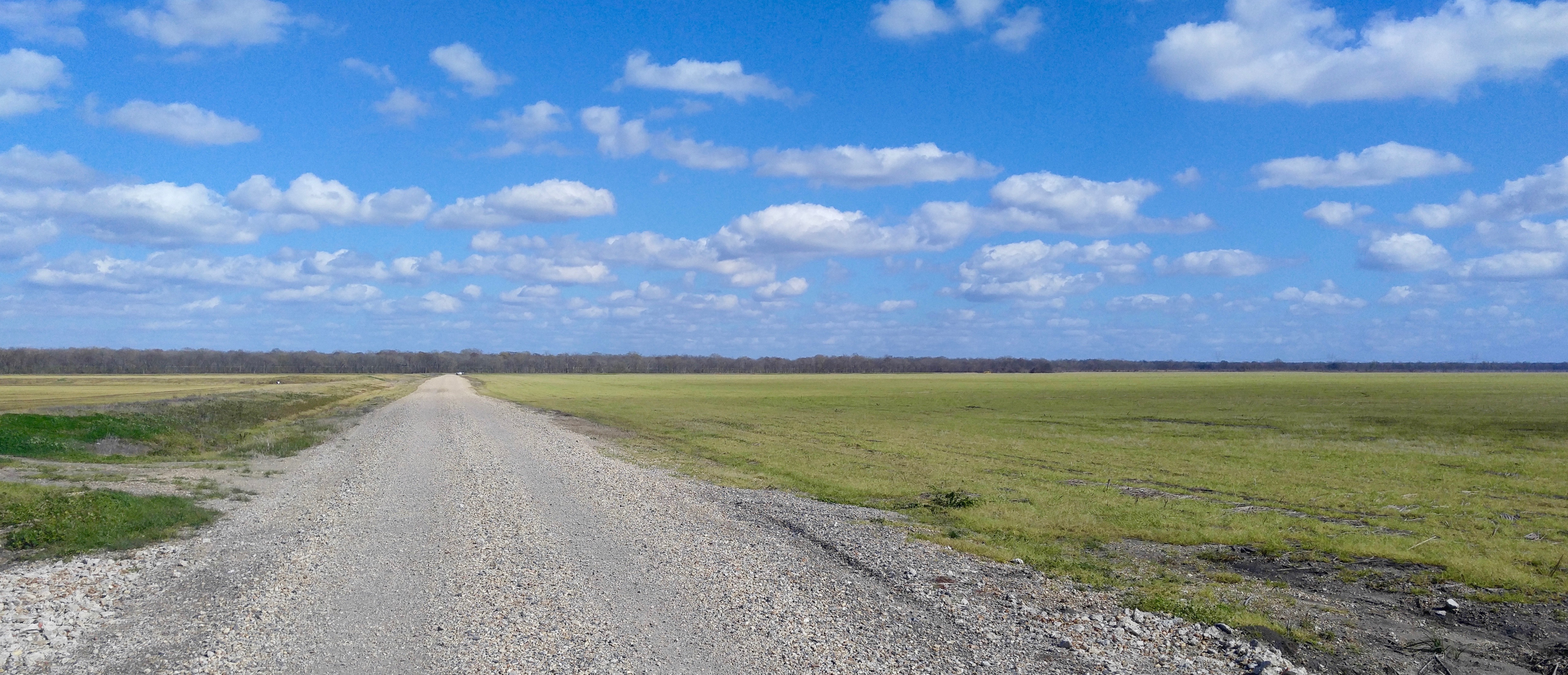
Seven Arpents Rd.
Topographic Map of Mallet Rd, Arnaudville, LA, USA
Find elevation by address:

Places near Mallet Rd, Arnaudville, LA, USA:
7, LA, USA
1494 Fuselier Rd
1526 Fuselier Rd
US-, Port Barre, LA, USA
367 Euzebe Rd
367 Euzebe Rd
367 Euzebe Rd
Toby Rd, Arnaudville, LA, USA
Portage Levee Road
179 Par Rd 3-45-1a
307 Frozard Rd
Port Barre
6, LA, USA
4755 La-31
705 Old Spanish Rd
925 Country Ridge Rd
Church St, Grand Coteau, LA, USA
Grand Coteau
115 Country Ridge Rd
9, LA, USA
Recent Searches:
- Elevation of Felindre, Swansea SA5 7LU, UK
- Elevation of Leyte Industrial Development Estate, Isabel, Leyte, Philippines
- Elevation of W Granada St, Tampa, FL, USA
- Elevation of Pykes Down, Ivybridge PL21 0BY, UK
- Elevation of Jalan Senandin, Lutong, Miri, Sarawak, Malaysia
- Elevation of Bilohirs'k
- Elevation of 30 Oak Lawn Dr, Barkhamsted, CT, USA
- Elevation of Luther Road, Luther Rd, Auburn, CA, USA
- Elevation of Unnamed Road, Respublika Severnaya Osetiya — Alaniya, Russia
- Elevation of Verkhny Fiagdon, North Ossetia–Alania Republic, Russia