Elevation of Malegaon, Maharashtra, India
Location: India > Maharashtra > Nashik >
Longitude: 74.5100291
Latitude: 20.5547497
Elevation: 429m / 1407feet
Barometric Pressure: 96KPa
Elevation Map:
Satellite Map:
Related Photos:
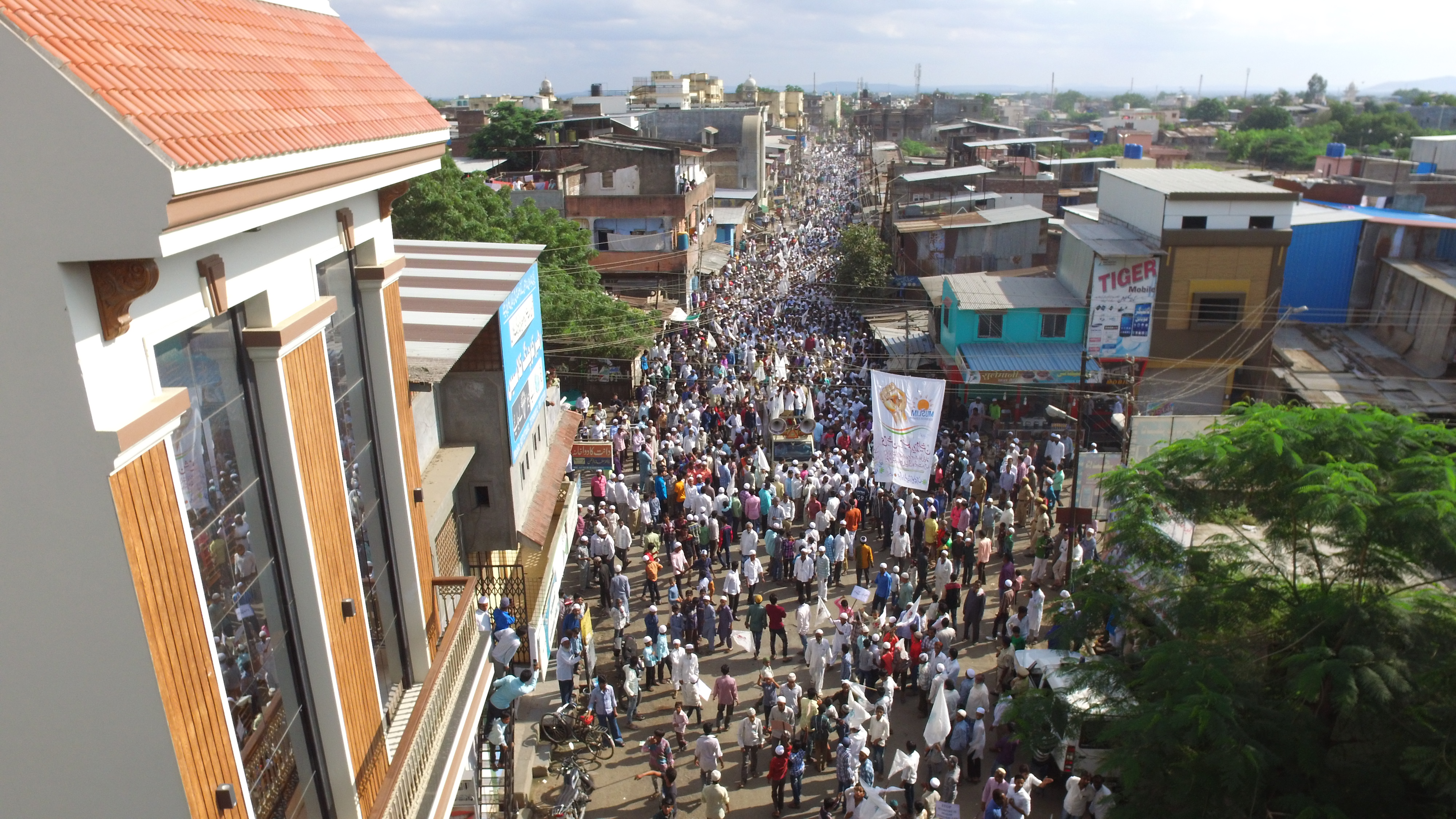
One Lakh people marched in Malegaon demanding reservation for Muslims
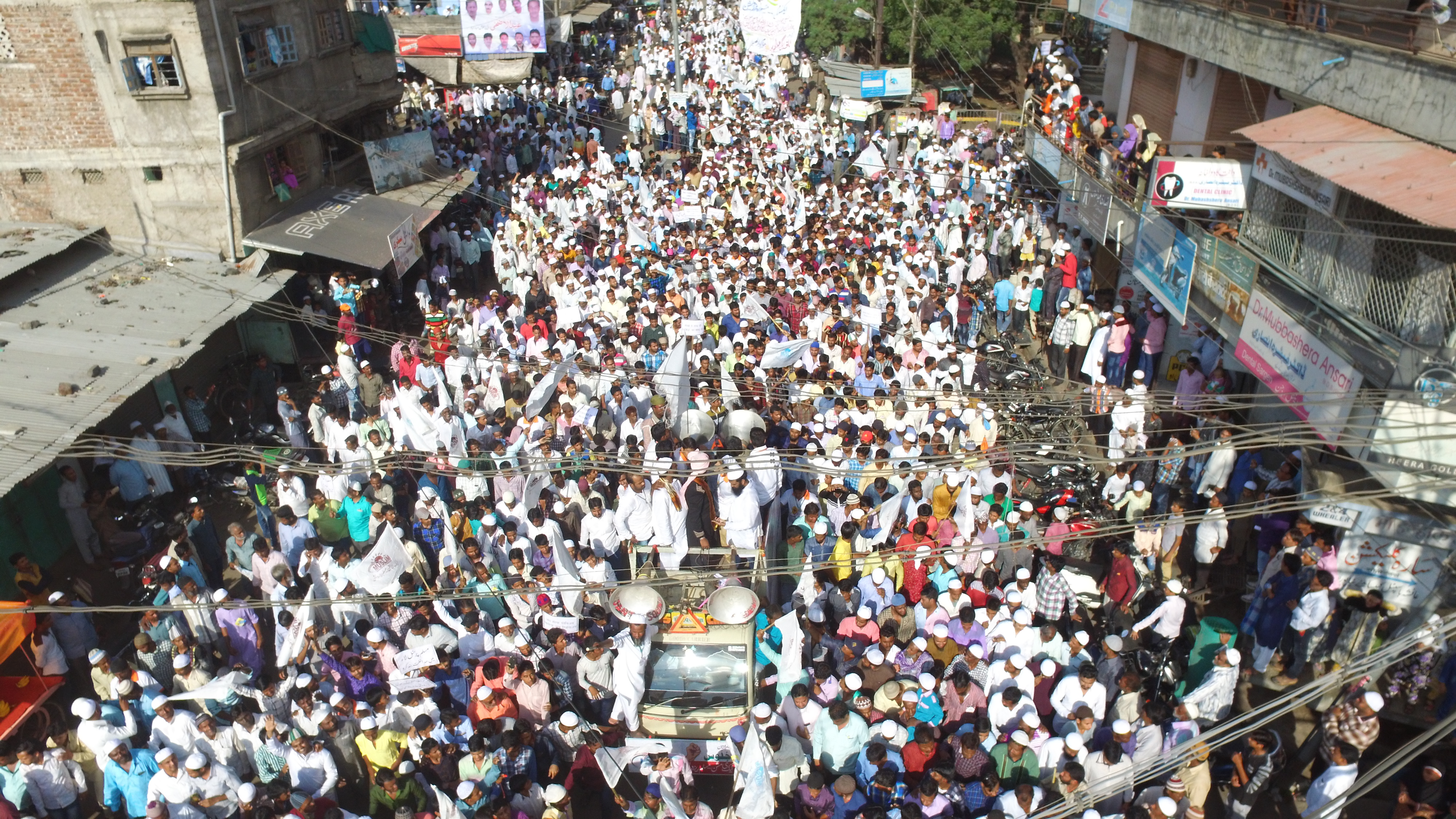
One Lakh people marched in Malegaon demanding reservation for Muslims
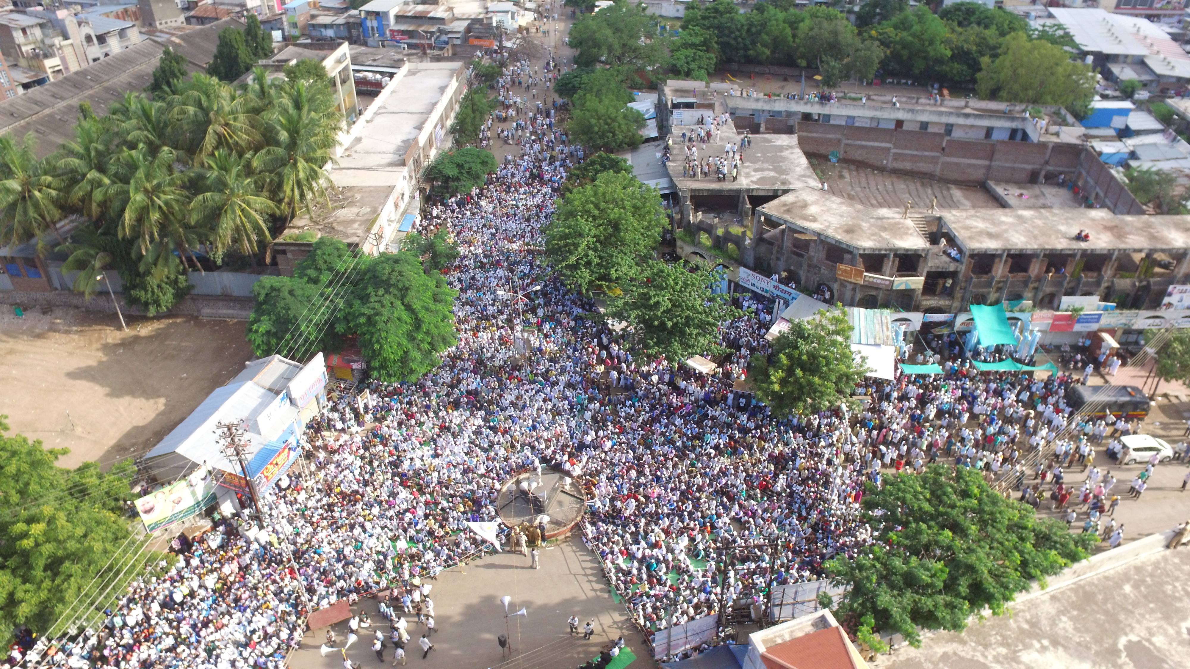
One Lakh people marched in Malegaon demanding reservation for Muslims
Topographic Map of Malegaon, Maharashtra, India
Find elevation by address:

Places near Malegaon, Maharashtra, India:
M B Sugar & Phamaceuticals Ltd
Bardiya Nagar
Manmad
Deola
Chandwad
Tankai Fort
Ankai Fort
Dasana Baglan Bus Stop
Dasane
Sakri
Kalwan
Yeola
Dhodap Fort
Yeola Range Forest Office
Angangaon
Bhawade
Vade Digar
Haranbari Dam
Kadyachamala
Parshuram Temple
Recent Searches:
- Elevation of 7 Waterfall Way, Tomball, TX, USA
- Elevation of SW 57th Ave, Portland, OR, USA
- Elevation of Crocker Dr, Vacaville, CA, USA
- Elevation of Pu Ngaol Community Meeting Hall, HWHM+3X7, Krong Saen Monourom, Cambodia
- Elevation of Royal Ontario Museum, Queens Park, Toronto, ON M5S 2C6, Canada
- Elevation of Groblershoop, South Africa
- Elevation of Power Generation Enterprises | Industrial Diesel Generators, Oak Ave, Canyon Country, CA, USA
- Elevation of Chesaw Rd, Oroville, WA, USA
- Elevation of N, Mt Pleasant, UT, USA
- Elevation of 6 Rue Jules Ferry, Beausoleil, France