Elevation of Malden Rd, Essex, ON N8M 2X6, Canada
Location: Canada > Ontario > Essex County > Essex >
Longitude: -82.936198
Latitude: 42.1198092
Elevation: 183m / 600feet
Barometric Pressure: 99KPa
Elevation Map:
Satellite Map:
Related Photos:

River Canard

(North American Species # 499) Great Gray Owl - 3
Across the river
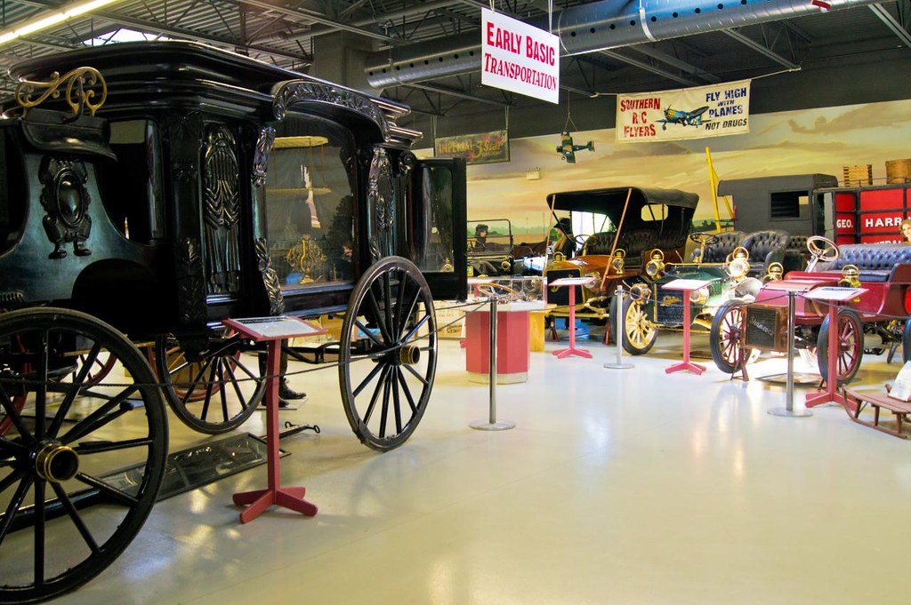
Canadian Museum of Transportation
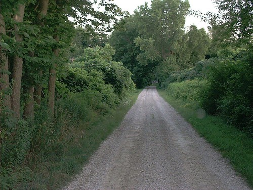
Country Lane

Amherstburg, TallshipsDSC_5614

Bois Blanc Island

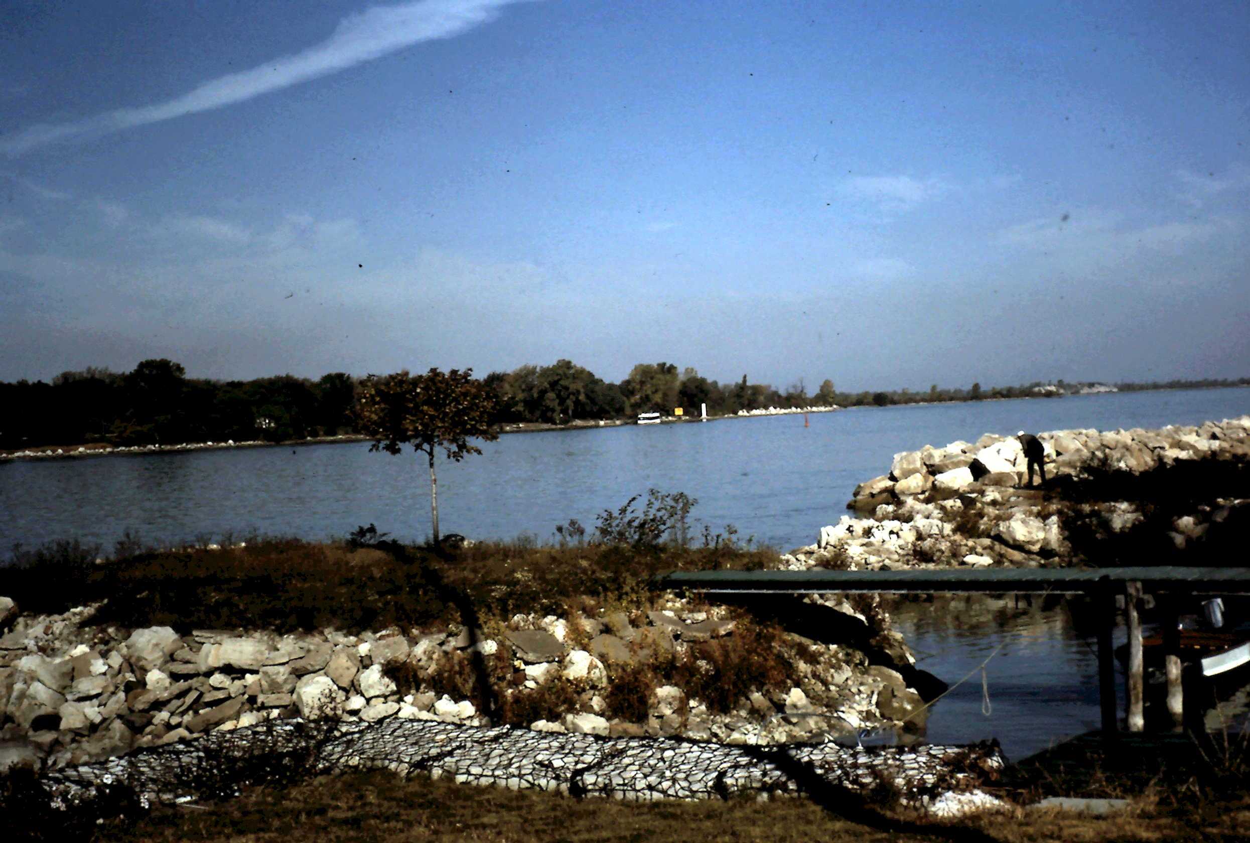
View up river

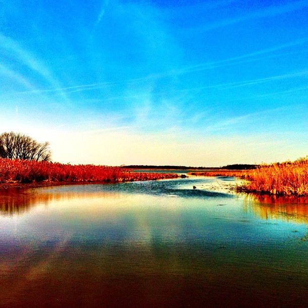
Reflections on the river
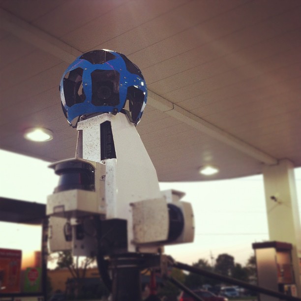
Google Streetview Camera

Thanks Shayne!

Jenna III

Bois Blanc Island
Garden View

Ice Cream Shop

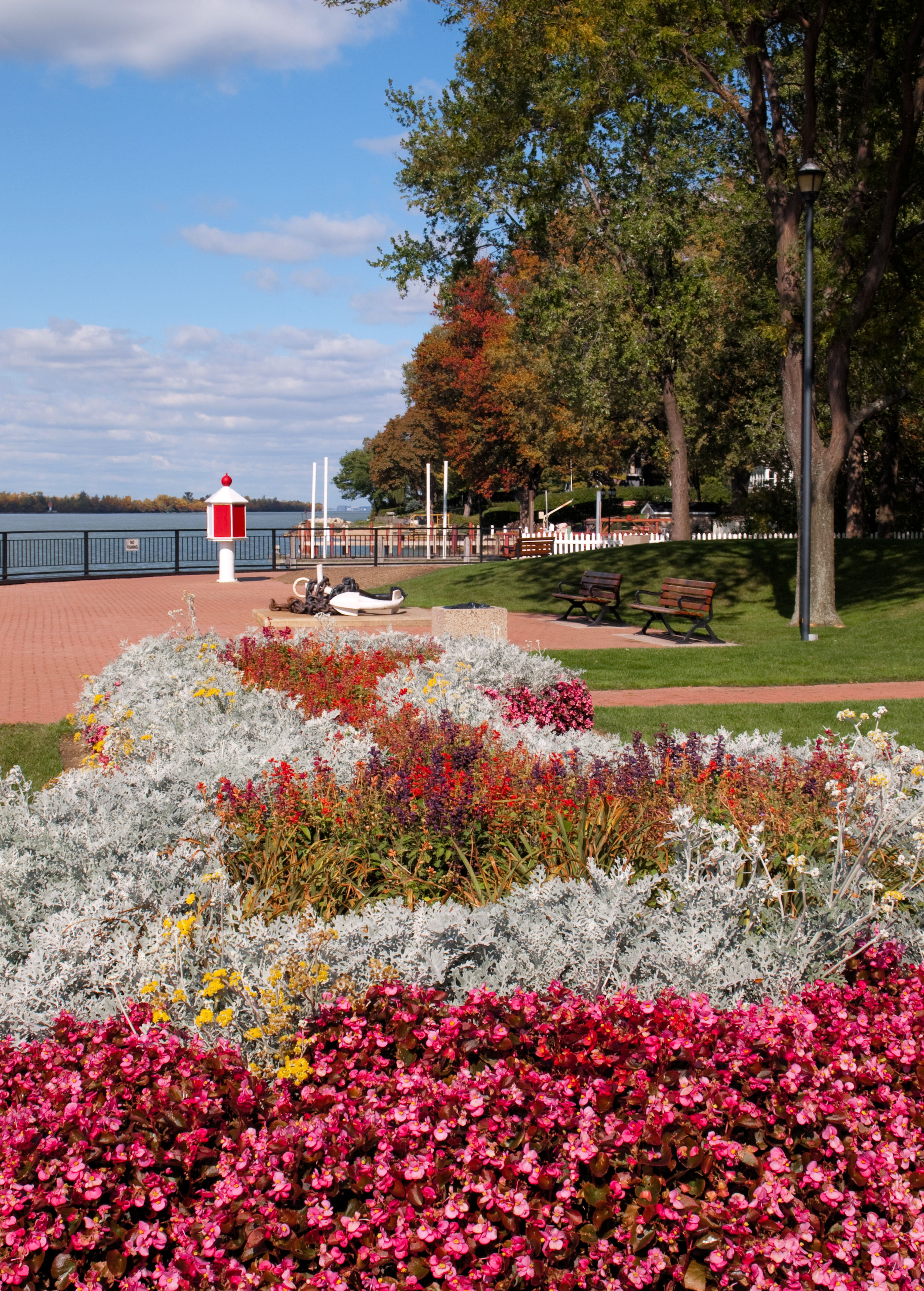
Amherstburg Navy Yard

Sunset on the Detroit River

Big Creek, Amherstburg Ontario

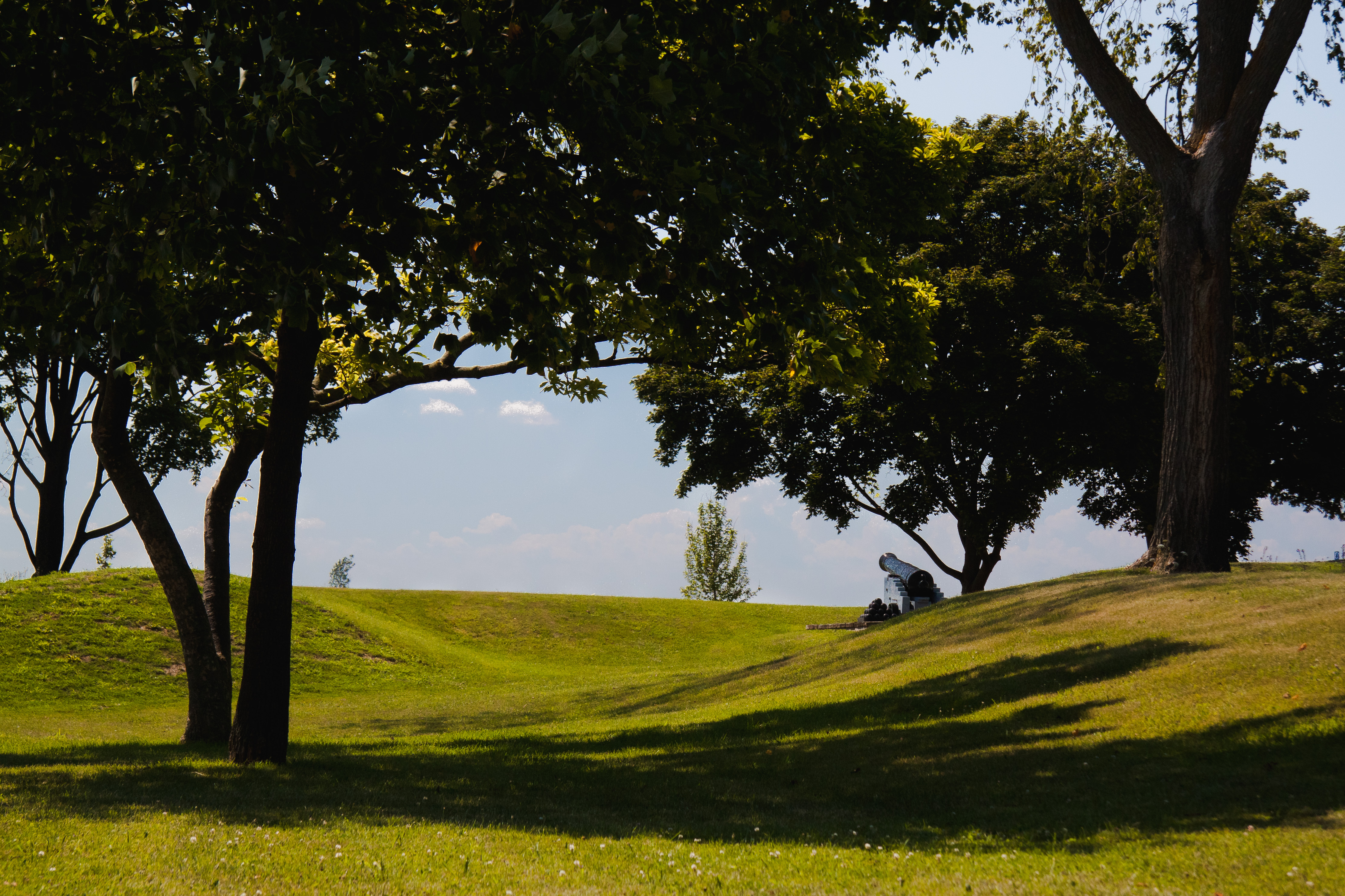
Fort Malden National Historic Site
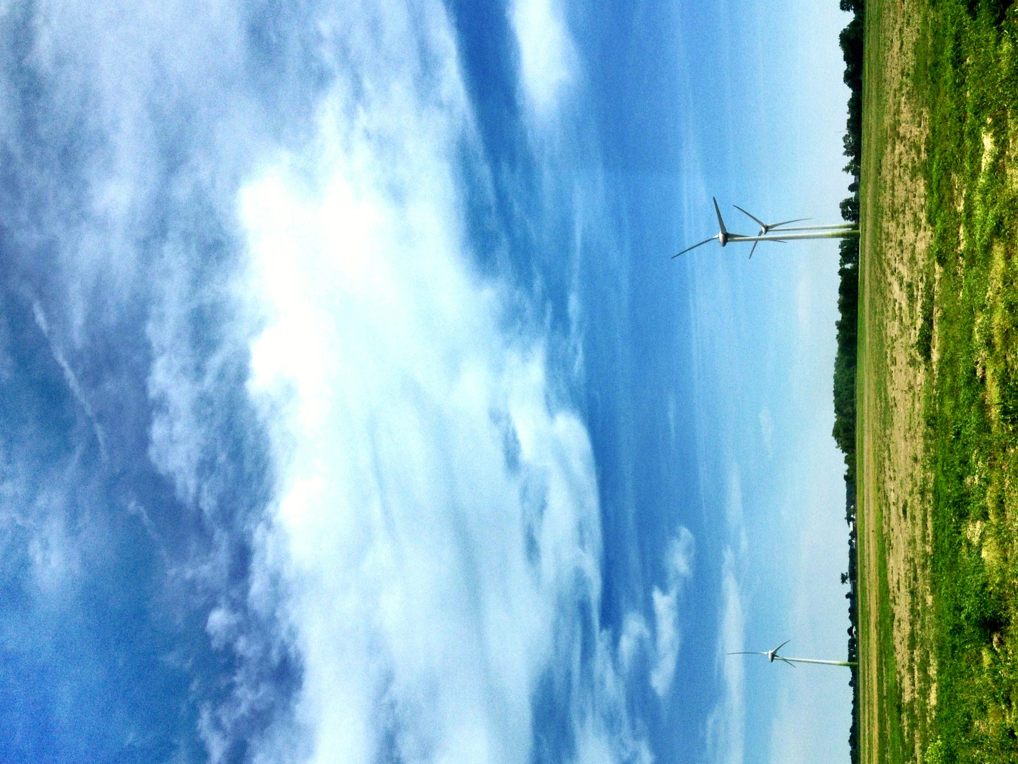
Wind Turbines
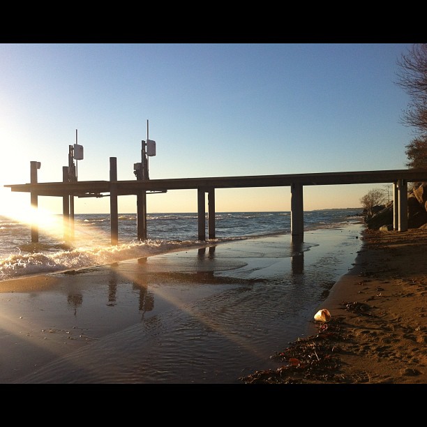
Beach waves

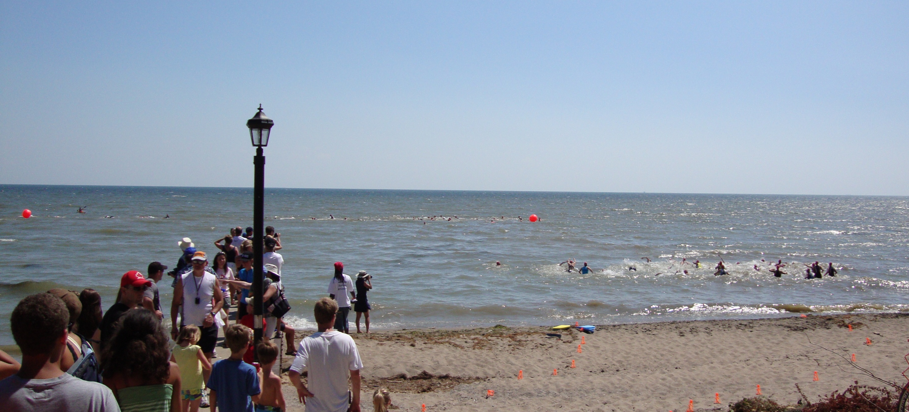
Loaring Triathlon 2012

Silo Sunset
Female Sprint Swimmers

Staring The Spring Down

Mostly Cloudy

Detroit River #backhome #soewinefest

Dandelions' hill.

Tasting wine on Lac Erie
HBCA™

Wind over Lake Erie, Ontario
Goodchild's Island
Captain Hackett's Island
Just in Case

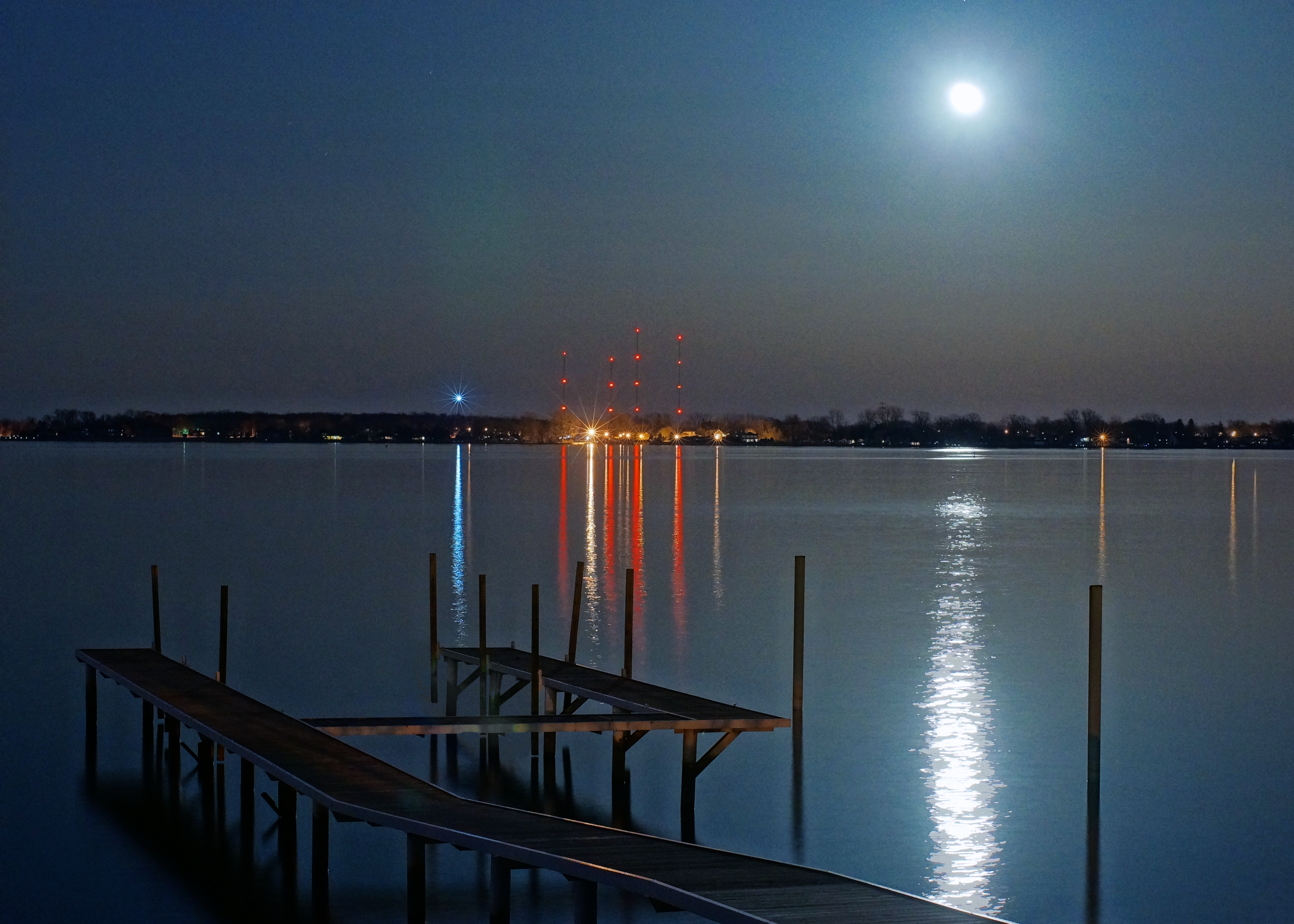
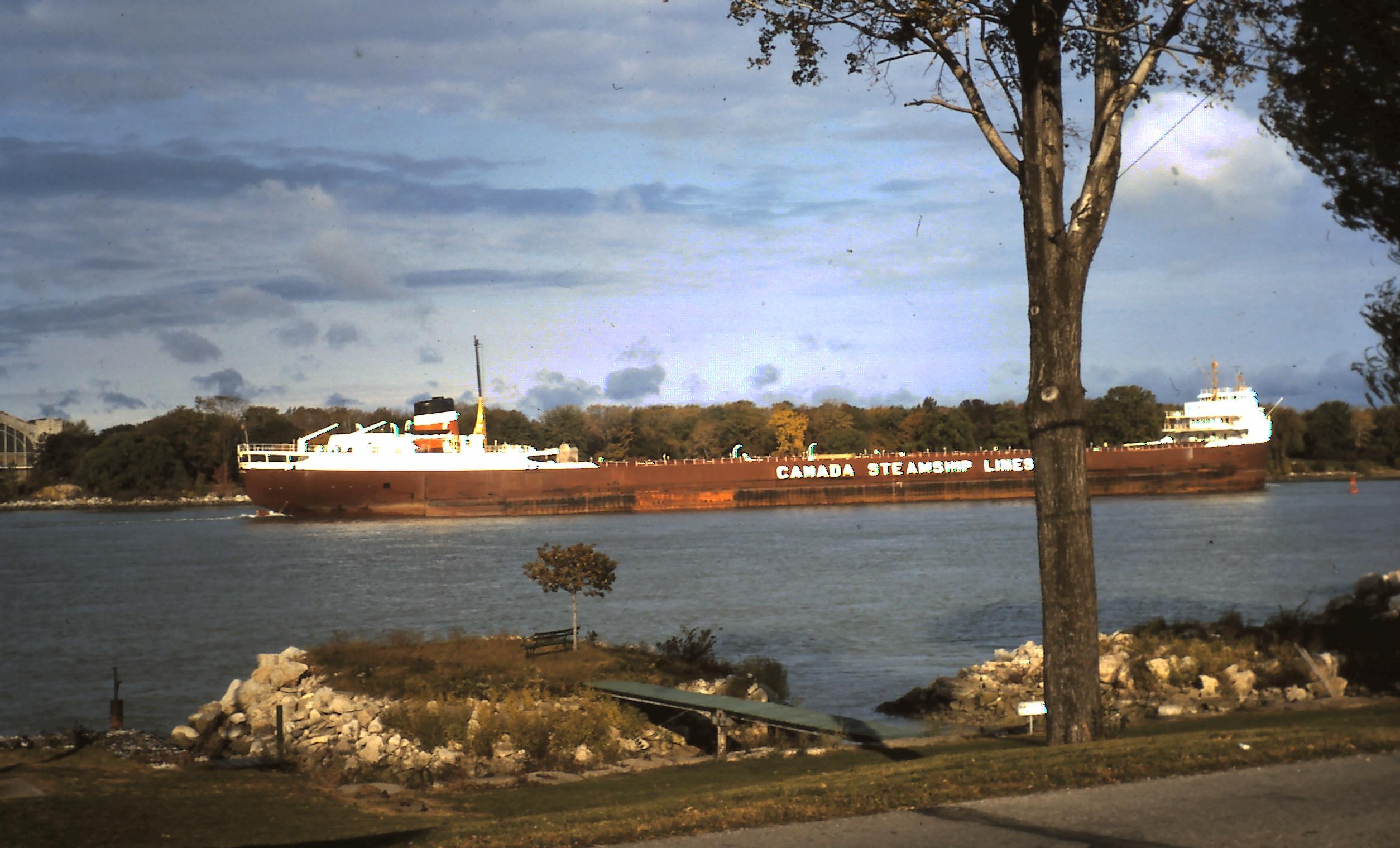
Detroit River

Beautiful sunset
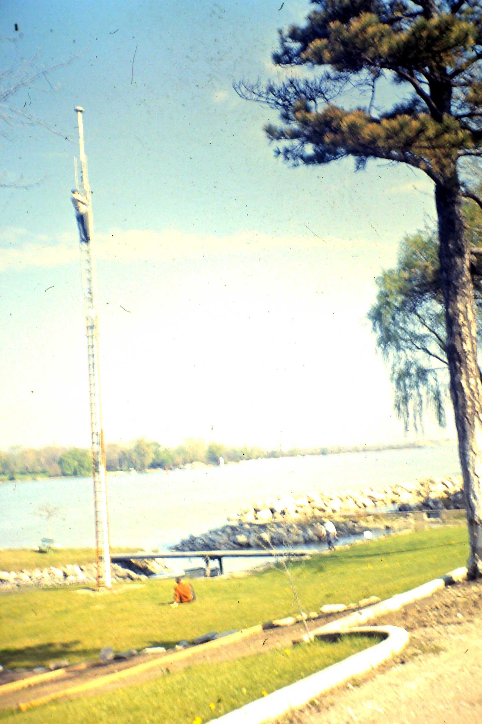
Painting the Pole
Topographic Map of Malden Rd, Essex, ON N8M 2X6, Canada
Find elevation by address:

Places near Malden Rd, Essex, ON N8M 2X6, Canada:
11112 Concession Rd 11
Concession Road 12
Muscedere Vineyards
Mcgregor
2587 County Rd 12
Concession Rd 8, Harrow, ON N0R 1G0, Canada
Harrow
2585 Essex County Rd 20
221 Brien Ave W
Essex
Essex County Rd 20, Kingsville, ON N9Y 2E4, Canada
McCain Side Rd, Cottam, ON N0R 1B0, Canada
36 Creekview Blvd
Cottam
46 Fox St
570 Heritage Rd
Essex County
225 Prince Albert St N
178 Allen Ct
Kingsville
Recent Searches:
- Elevation of Corso Fratelli Cairoli, 35, Macerata MC, Italy
- Elevation of Tallevast Rd, Sarasota, FL, USA
- Elevation of 4th St E, Sonoma, CA, USA
- Elevation of Black Hollow Rd, Pennsdale, PA, USA
- Elevation of Oakland Ave, Williamsport, PA, USA
- Elevation of Pedrógão Grande, Portugal
- Elevation of Klee Dr, Martinsburg, WV, USA
- Elevation of Via Roma, Pieranica CR, Italy
- Elevation of Tavkvetili Mountain, Georgia
- Elevation of Hartfords Bluff Cir, Mt Pleasant, SC, USA