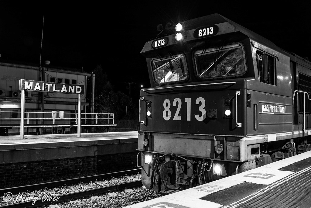
Elevation of Maitland NSW, Australia
Location: Australia > New South Wales > Maitland City Council >
Longitude: 151.549218
Latitude: -32.738398
Elevation: 5m / 16feet
Barometric Pressure: 101KPa
Elevation Map:
Satellite Map:
Related Photos:

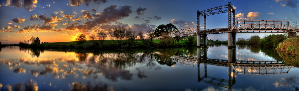
Dunmore Bridge
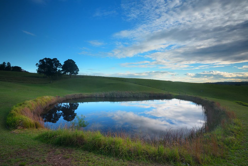
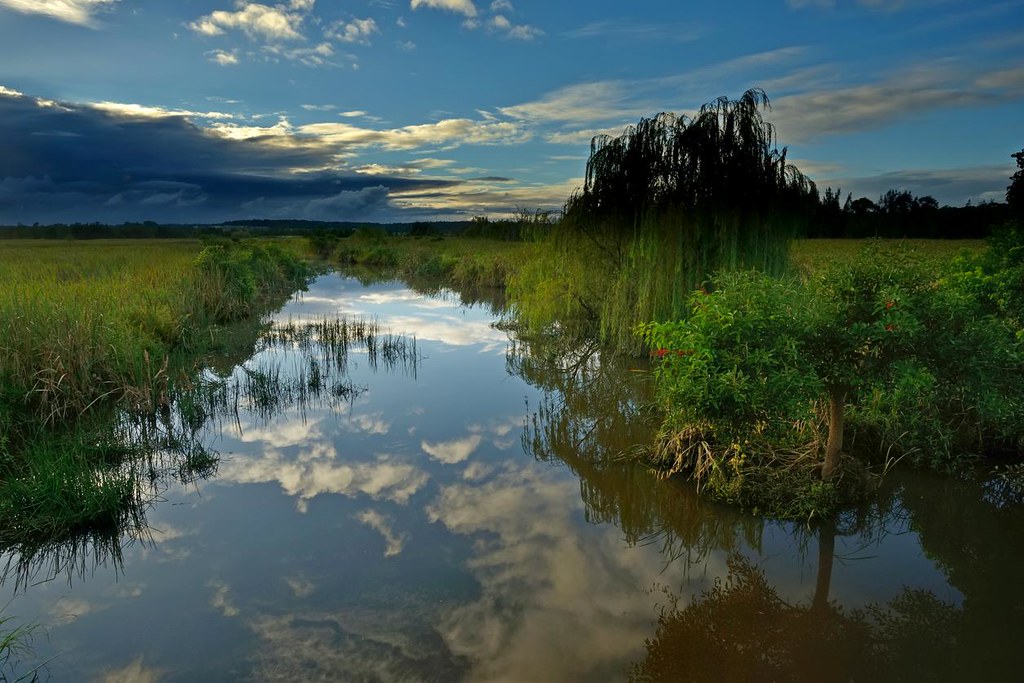
Dam Reflections
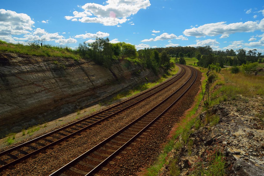
Up Around the Bend
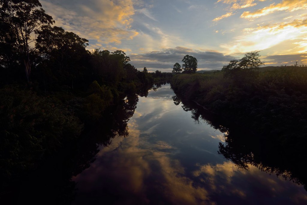
Paterson River Reflections

Gum Trees at Woodville

The Moon Above the Clouds
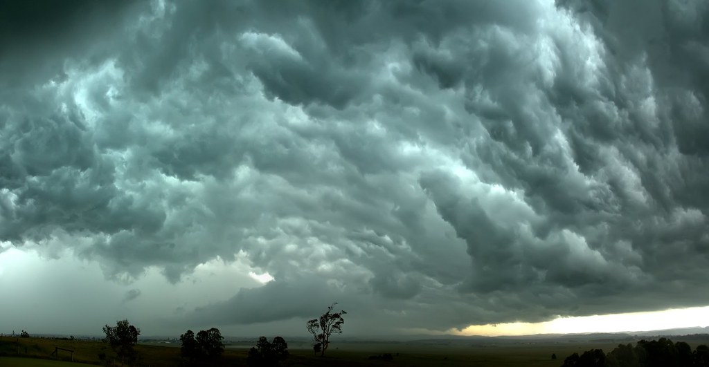
Mad Cloud

Afternoon Calm
Foggy Morning

Cloud Mirror
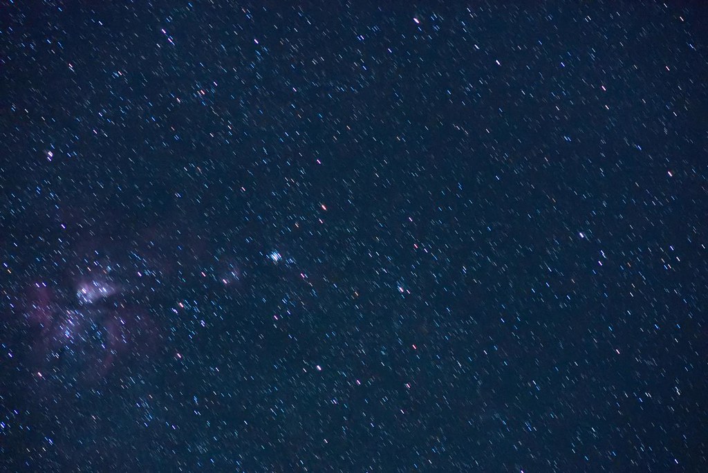
Shoot for the Stars
Star Trails

Evening Calm
Light Show

The Calm After the Storm

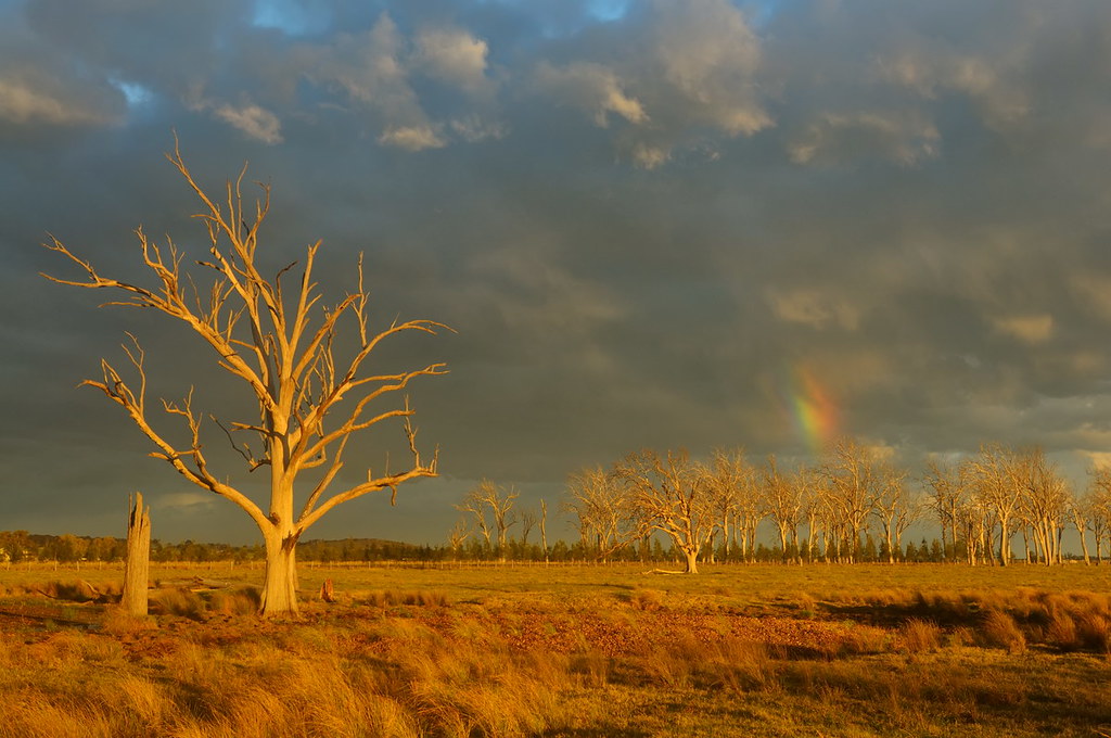
Red Sky
On Point

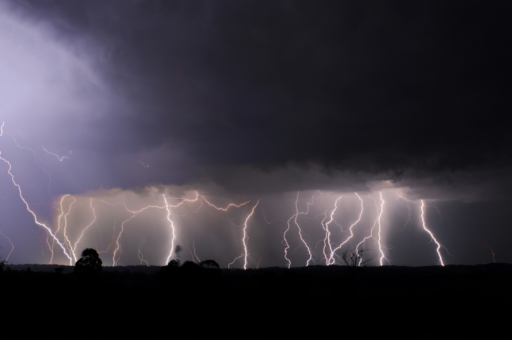
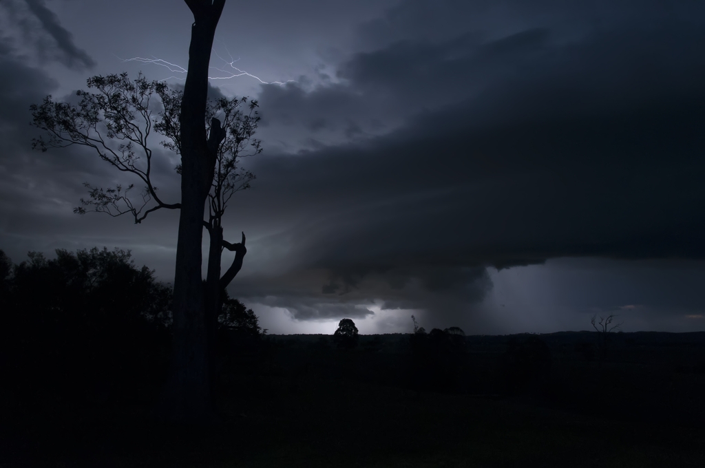
Three Strikes

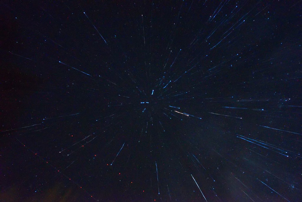
Warp Factor Six
Backlit Clouds
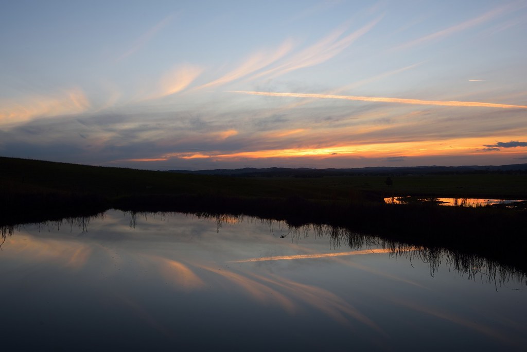
Dam Reflections

Time to Run
Paterson River Sunset
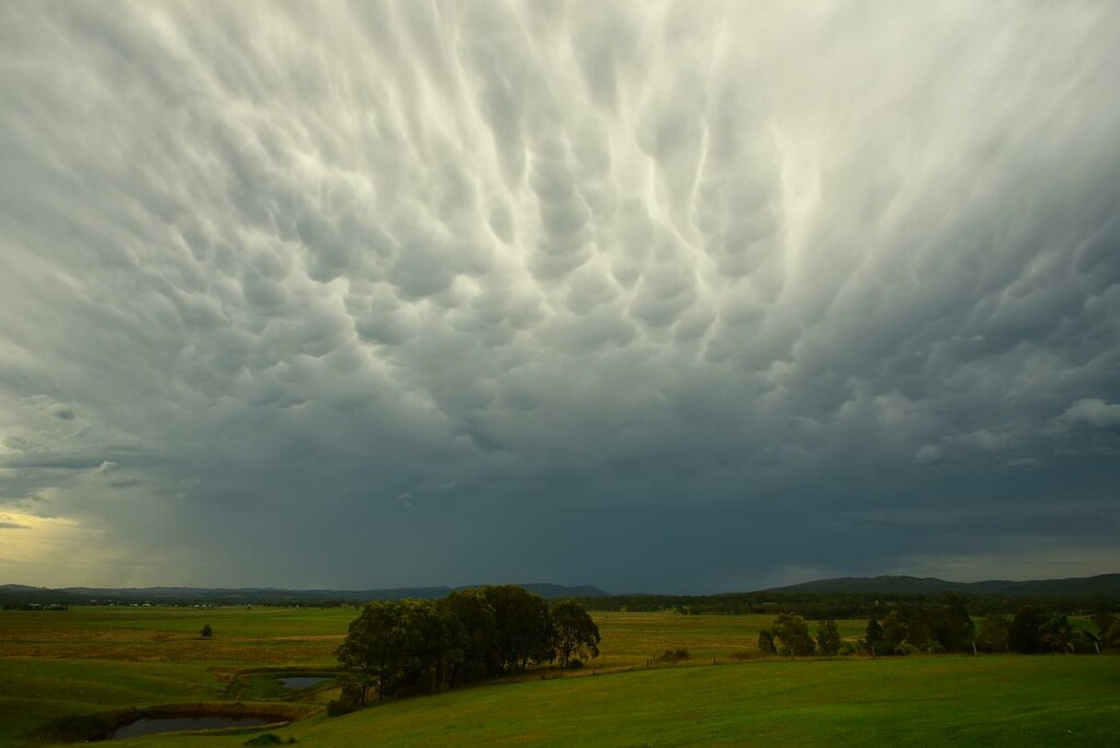
Mammatus Cloud

Up Around the Bend

Good Day Sunshine
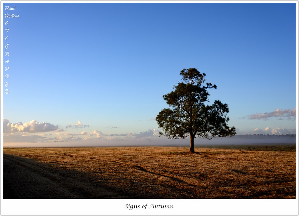
Signs of Autumn

Sketchy Clouds

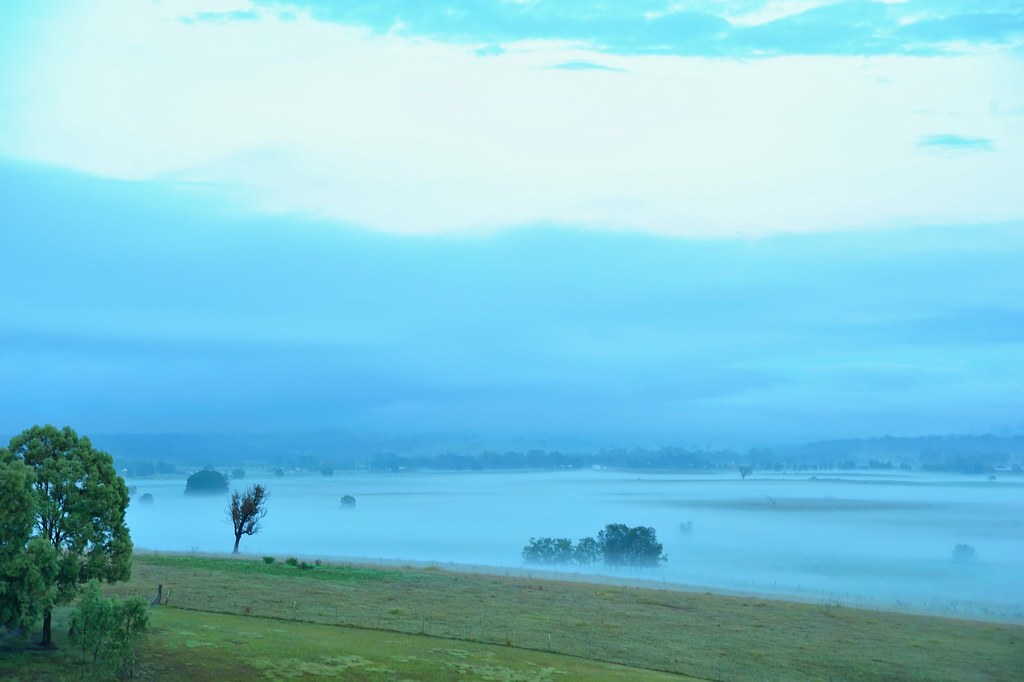
Into the Mist

Crazy Cloud

Holding Back the Years

Spot the Duck
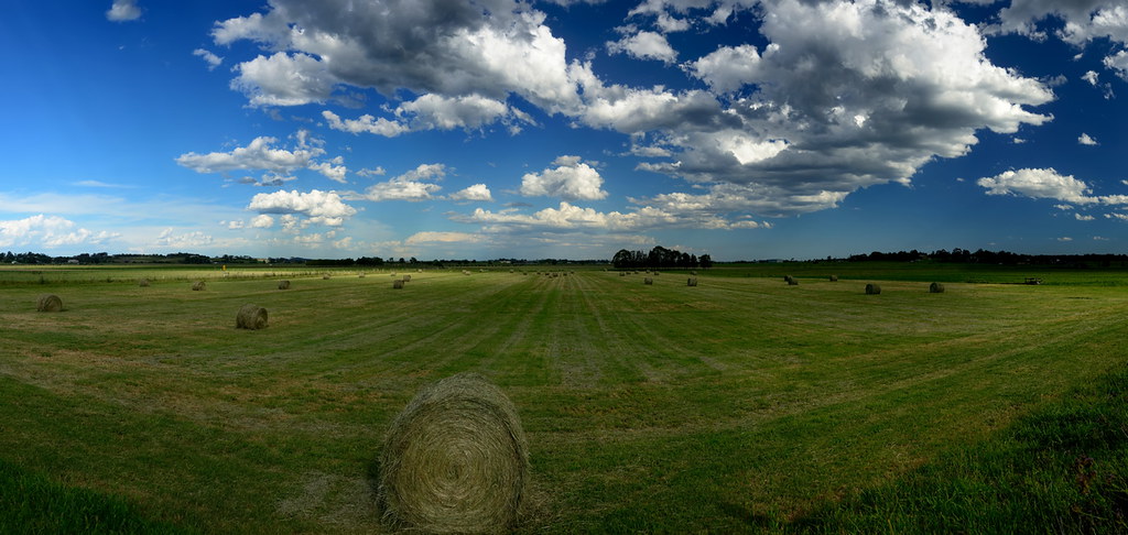
Baling Time
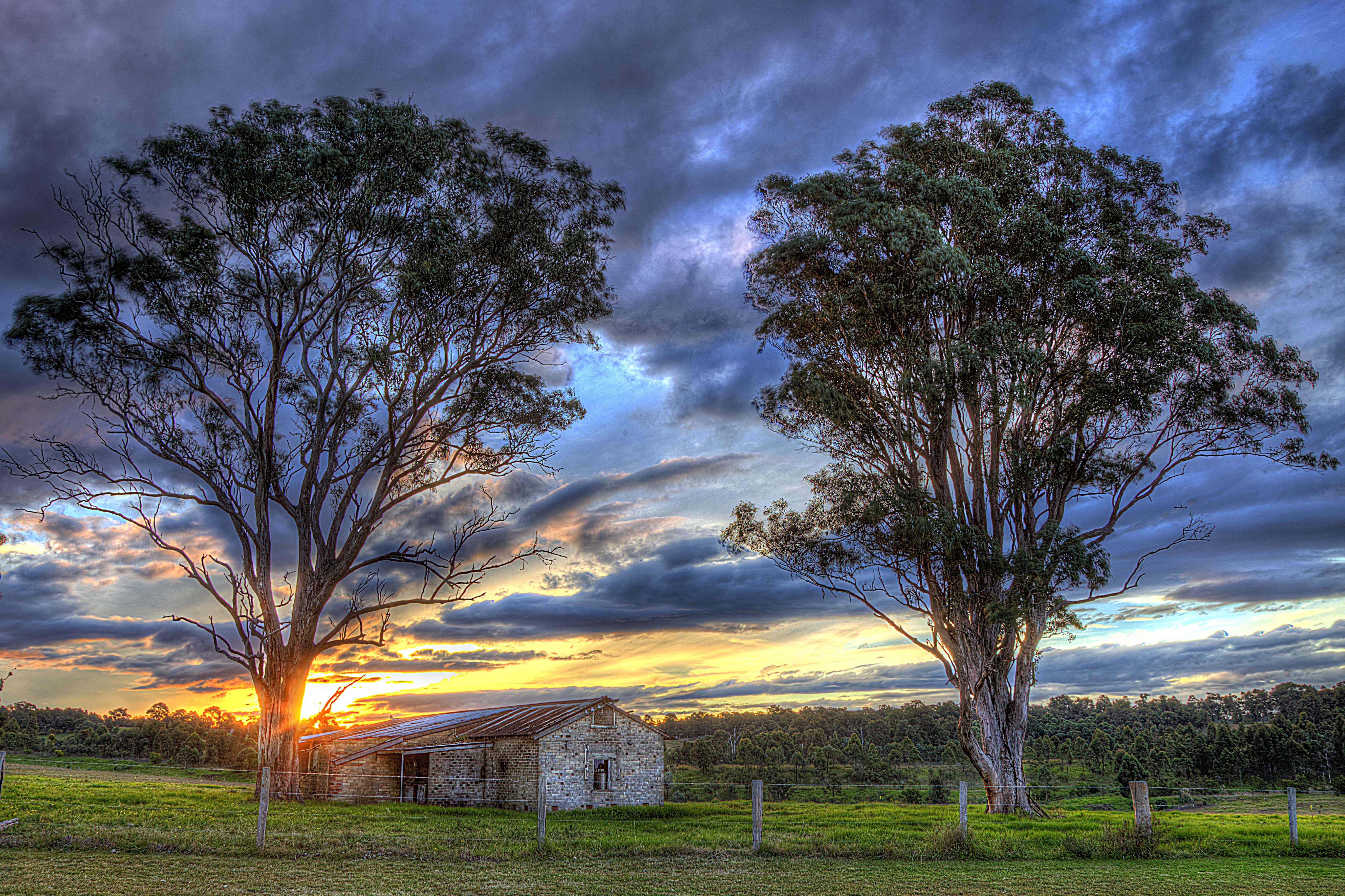
Old dairy
Morning Reflection

A Handy Perch
Afternoon Delight

Solar Landing
Topographic Map of Maitland NSW, Australia
Find elevation by address:

Places in Maitland NSW, Australia:
Places near Maitland NSW, Australia:
Maitland
172 Elgin St
113 Regent St
8 James St
Horseshoe Bend
Maitland City Council
10 Figtree Ln
7 Wallis St
East Maitland
7a Wallis St
9 Wallis St
Gillieston Heights
Rutherford
65 Flinders St
9 Davies St
John Street
1 Thompson St
2 Thompson St
4 Thompson St
24 Thompson St
Recent Searches:
- Elevation of Tenjo, Cundinamarca, Colombia
- Elevation of Côte-des-Neiges, Montreal, QC H4A 3J6, Canada
- Elevation of Bobcat Dr, Helena, MT, USA
- Elevation of Zu den Ihlowbergen, Althüttendorf, Germany
- Elevation of Badaber, Peshawar, Khyber Pakhtunkhwa, Pakistan
- Elevation of SE Heron Loop, Lincoln City, OR, USA
- Elevation of Slanický ostrov, 01 Námestovo, Slovakia
- Elevation of Spaceport America, Co Rd A, Truth or Consequences, NM, USA
- Elevation of Warwick, RI, USA
- Elevation of Fern Rd, Whitmore, CA, USA