Elevation of Maine, IA, USA
Location: United States > Iowa > Linn County >
Longitude: -91.540232
Latitude: 42.1667225
Elevation: 284m / 932feet
Barometric Pressure: 98KPa
Elevation Map:
Satellite Map:
Related Photos:

Soda Delivery Day

View from my office

The World's Game

The Earth's Blanket

Electric Horizon

The Trail Back
bcol s 46243
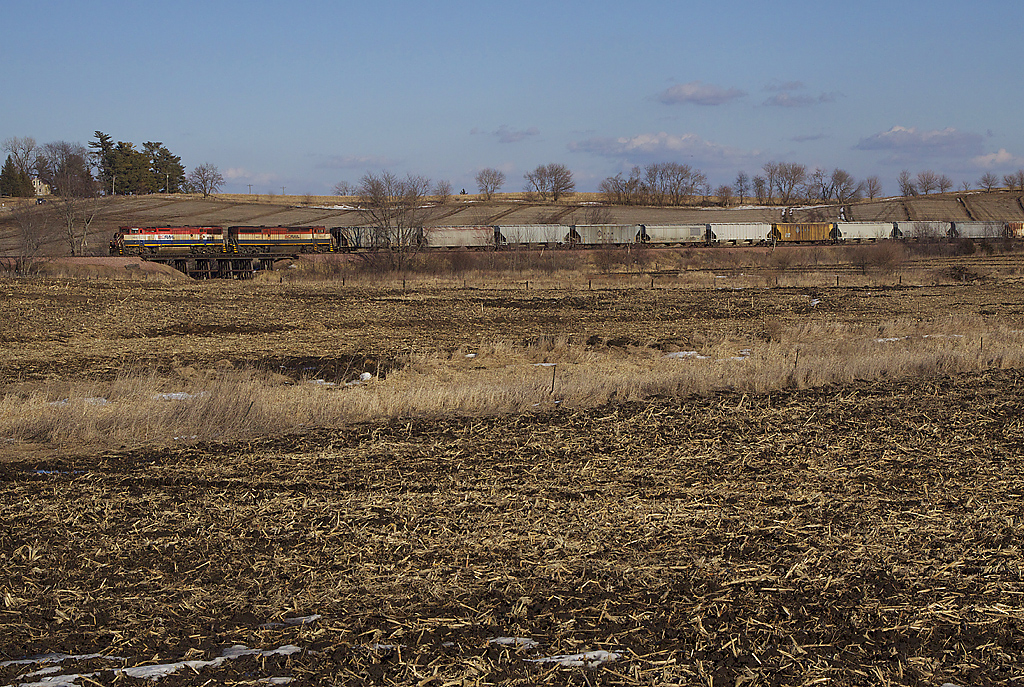
Upper Paris Bridge- Linn County IA (3)
untitled20160730-22

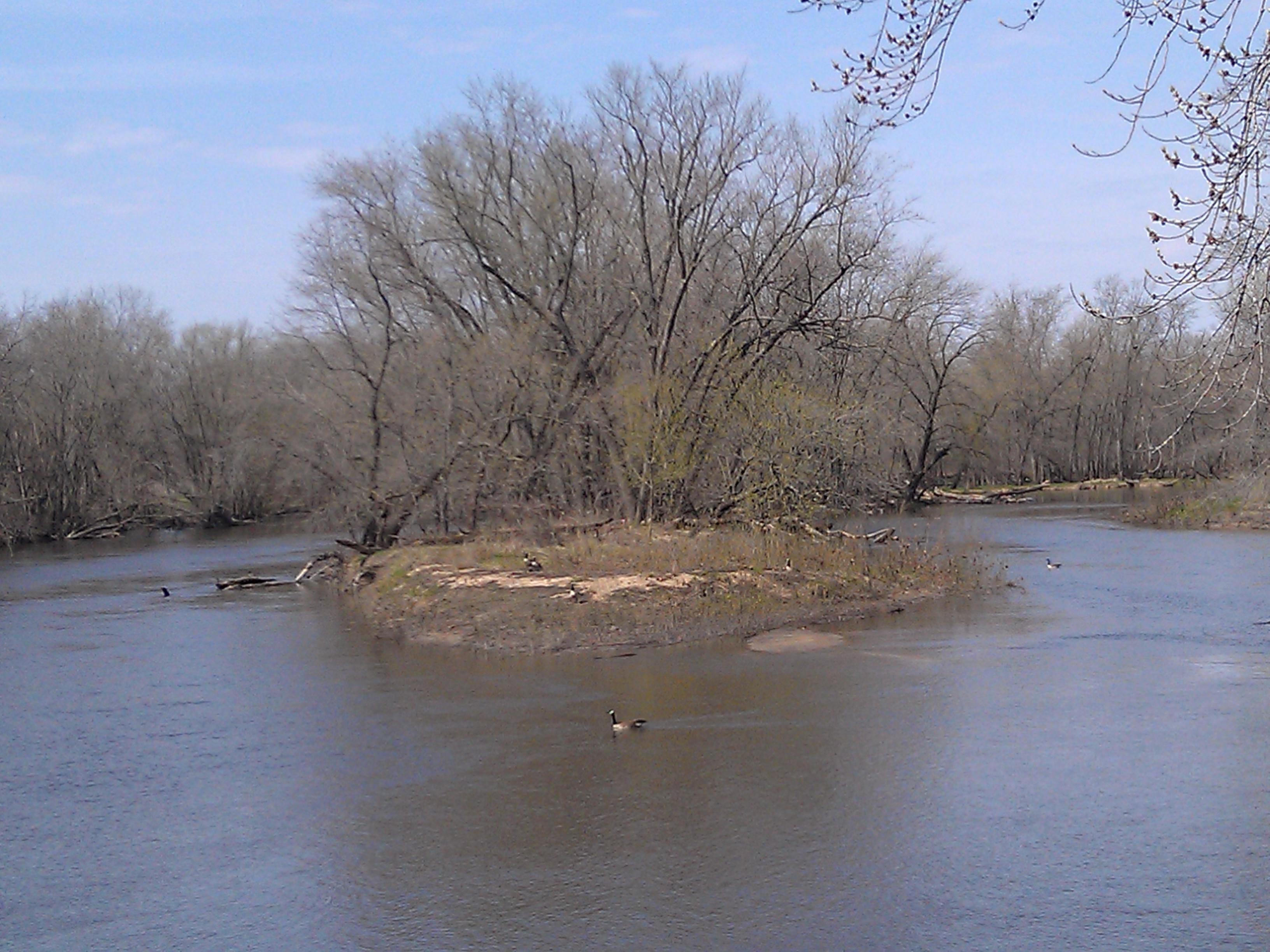
Geese enjoy the foggy morning

_IGP9632.jpg

Marion Park & Rec Flag Football 2013
Topographic Map of Maine, IA, USA
Find elevation by address:

Places in Maine, IA, USA:
Places near Maine, IA, USA:
Burnett Station Rd, Central City, IA, USA
Waubeek Rd, Central City, IA, USA
N Main Ave, Alburnett, IA, USA
Alburnett
Whittier
Whittier Rd, Whittier, IA, USA
1512 Hunters Green Way
3436 Laurel Ln
Buffalo
Otter Creek
3372 Quail Trail Ct
Marion
4065 Monarch Ave
County Home Rd, Springville, IA, USA
Brown
8th Ave, Marion, IA, USA
Marion
Springville
Water St, Springville, IA, USA
1235 74th St Ne
Recent Searches:
- Elevation of N 82nd Pl, Mesa, AZ, USA
- Elevation of Snake Hill Rd, North Scituate, RI, USA
- Elevation of Lake Shore Dr, Warwick, RI, USA
- Elevation of E Brightview Ave, Pittsburgh, PA, USA
- Elevation of Cavendish Rd, Harringay Ladder, London N4 1RR, UK
- Elevation of 1 Zion Park Blvd, Springdale, UT, USA
- Elevation of Ganderbal
- Elevation map of Konkan Division, Maharashtra, India
- Elevation of Netaji Nagar, Hallow Pul, Kurla, Mumbai, Maharashtra, India
- Elevation of Uralsk, Kazakhstan