Elevation of Main Street, Main St, Narrowsburg, NY, USA
Location: United States > New York > Sullivan County > Tusten > Narrowsburg >
Longitude: -75.061532
Latitude: 41.6075072
Elevation: -10000m / -32808feet
Barometric Pressure: 295KPa
Elevation Map:
Satellite Map:
Related Photos:

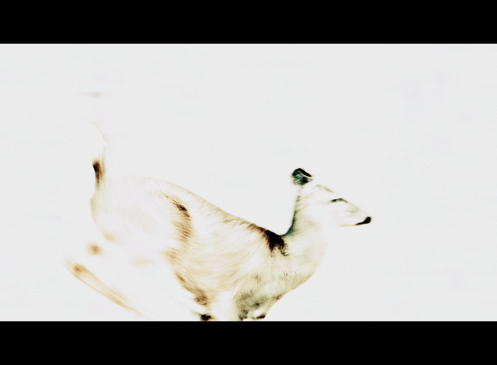
winter's dawn
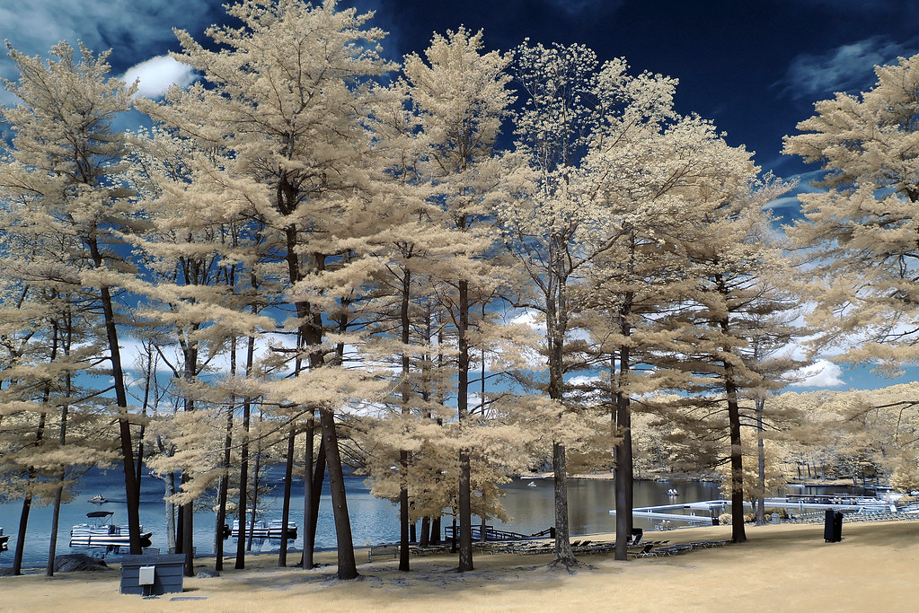
trees by the lake

Bam, fisheye view.

View of Lackawaxen, PA from Minisink Ford, NY; Roebling aqueduct.

View west from Roebling Bridge

View of the New York side
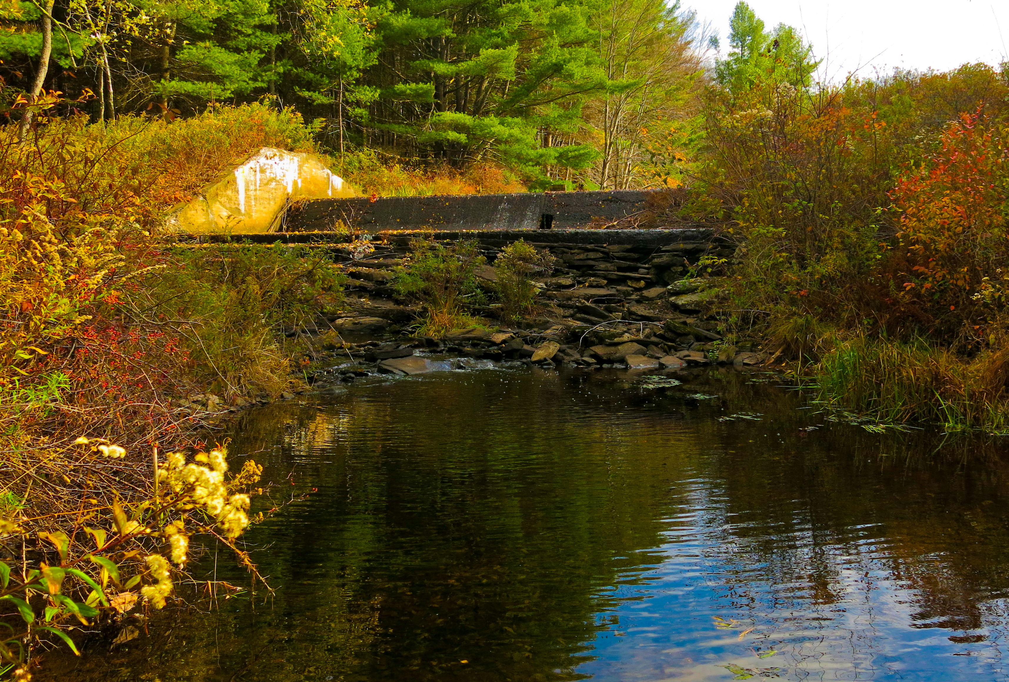
Lake Kabau Dam
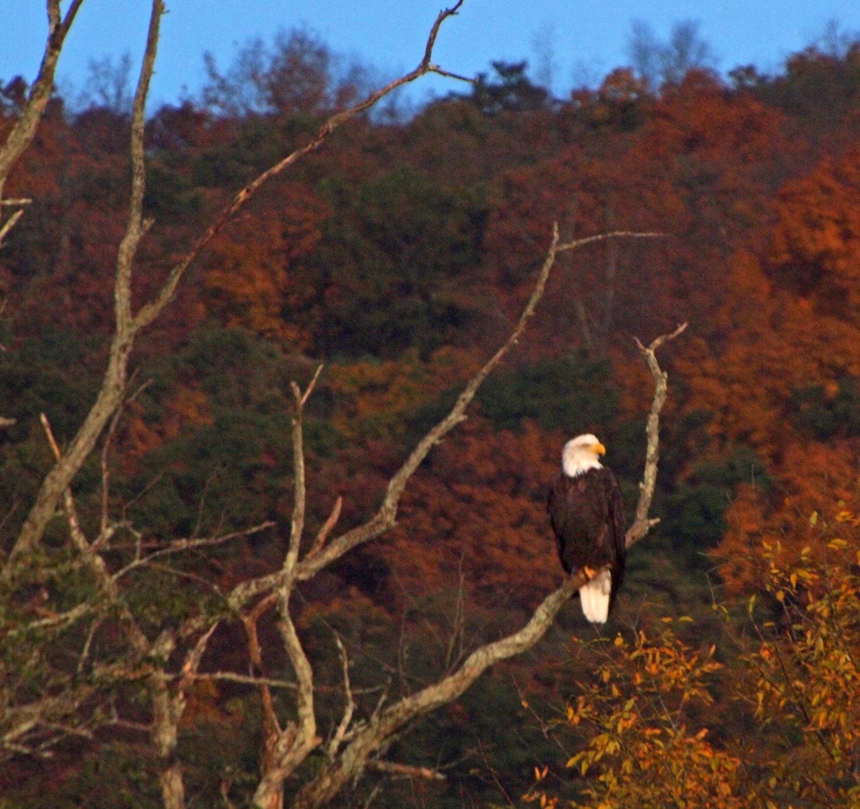
The eagle in his usual place
catch me if you can

View from Roebling Bridge

Waiting For A Rider

red doors

View upstream, Ten Mile River

The lawn and west meadow
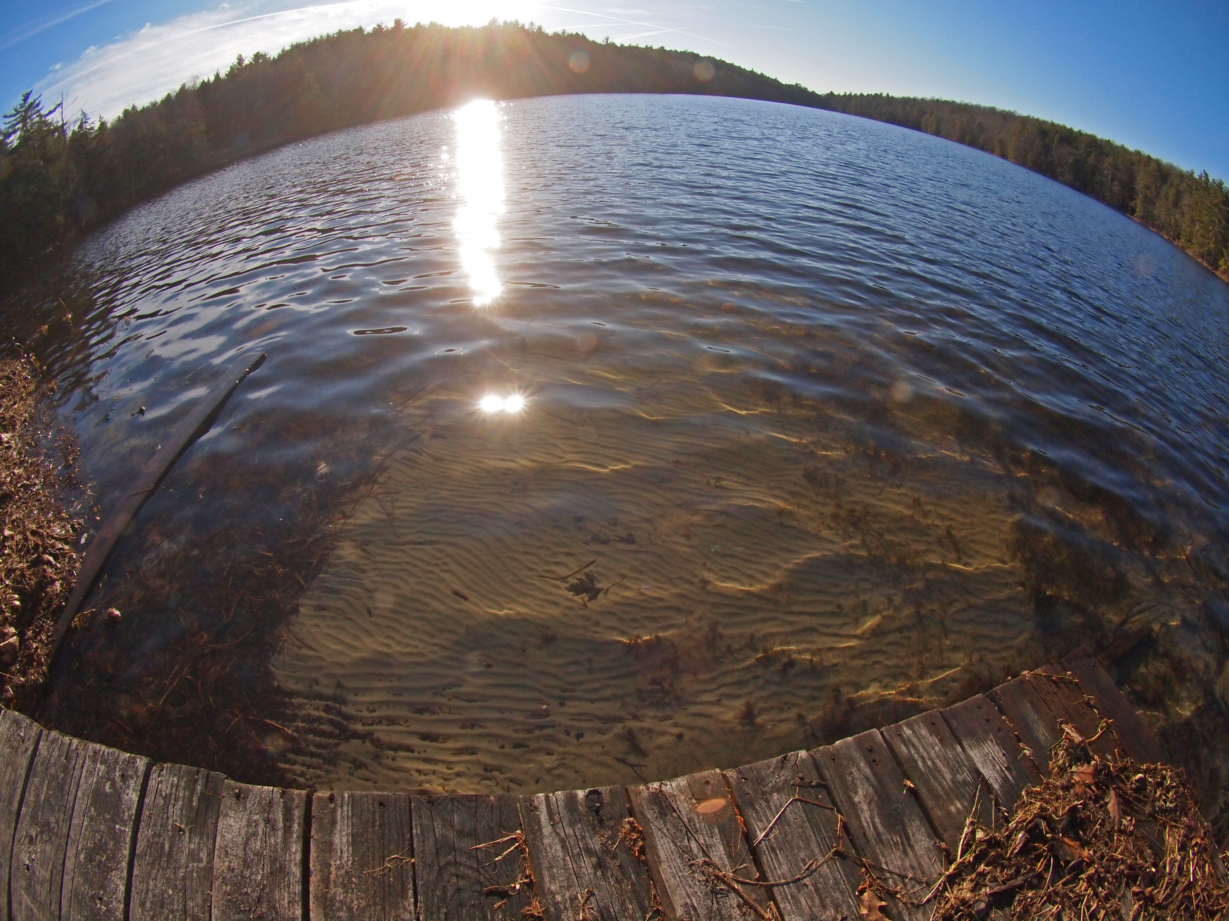
Fisheye view: the sand at the bottom of the lake.

View from Roebling bridge upstream

View from the Roebling bridge

View from the deck

Fall Lake Scene

On the Roebling bridge

View downstream from Roebling Bridge

Minute to Breathe

Carley Brook Falls

Delaware River at Narrowsburg.

a pond at night on September 2, 2012

DSCF9328.jpg

in the woods

Lackawaxen, NY

Central New York Railroad bridge Number 9.
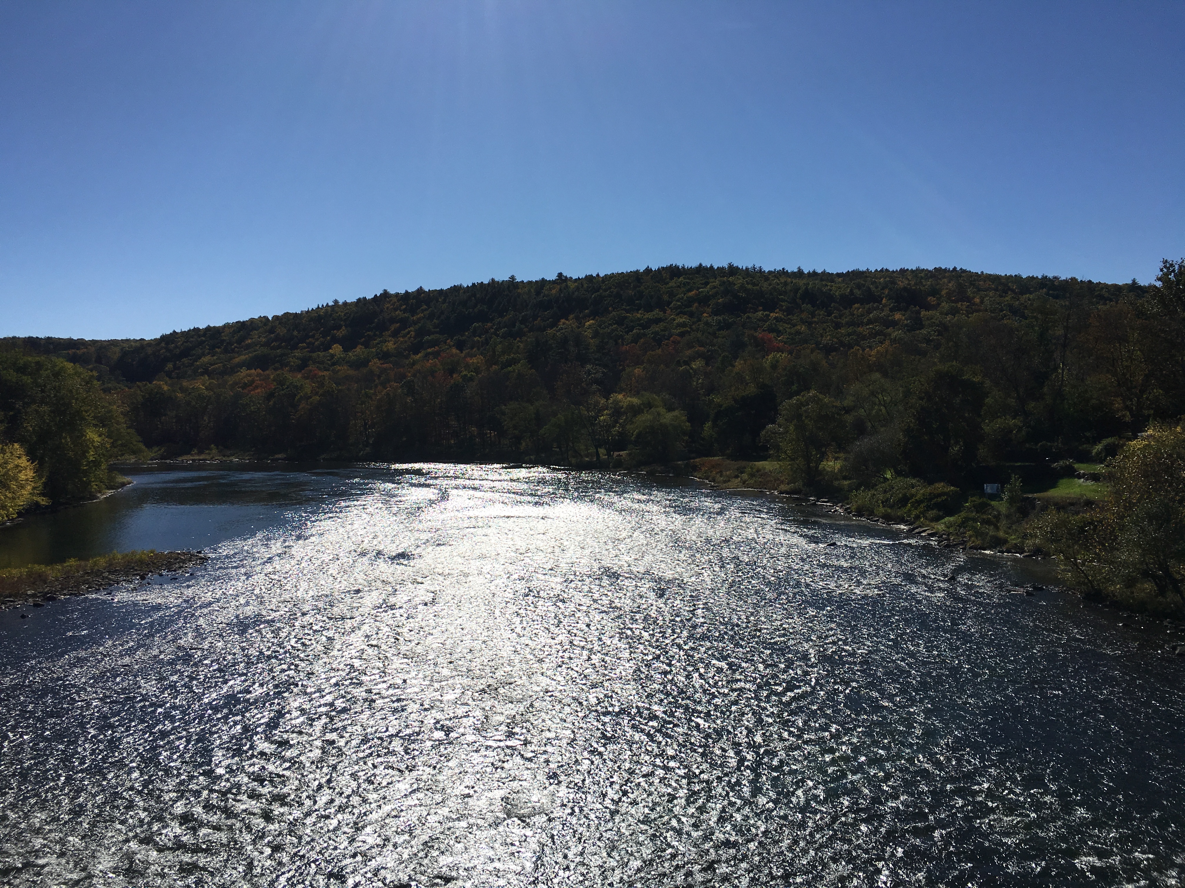
Delaware River

Chucho on the Camp Kunatah dock.

Mahl's Pond

Where the Ten Mile River meets the Delaware

Cold Delaware Shore

Narrowest part of the Delaware River.

On the afternoon outing

The other side of the lake.

Selfie with Annabella

#reflection #wickedflip #upstate #newyork #flip #pond #summer

Mahl's Pond. HDR.

On the afternoon outing
Topographic Map of Main Street, Main St, Narrowsburg, NY, USA
Find elevation by address:

Places near Main Street, Main St, Narrowsburg, NY, USA:
100 Main St
Narrowsburg
Upper Delaware Scenic And Recreational River
383 Evergreen Ln
13 2nd St
Zimmer Trail
Castle Hill Road
Evergreen Lane
566 Lake Shore Ln
Beach Lake, PA, USA
Tusten
Crawford Rd, Narrowsburg, NY, USA
Tusten
Masthope
Masthope
126 Milanville Rd
Beach Lake
Woodloch Resort
106 Lakeview Cir
255 Forest Ridge Dr
Recent Searches:
- Elevation of 7 Waterfall Way, Tomball, TX, USA
- Elevation of SW 57th Ave, Portland, OR, USA
- Elevation of Crocker Dr, Vacaville, CA, USA
- Elevation of Pu Ngaol Community Meeting Hall, HWHM+3X7, Krong Saen Monourom, Cambodia
- Elevation of Royal Ontario Museum, Queens Park, Toronto, ON M5S 2C6, Canada
- Elevation of Groblershoop, South Africa
- Elevation of Power Generation Enterprises | Industrial Diesel Generators, Oak Ave, Canyon Country, CA, USA
- Elevation of Chesaw Rd, Oroville, WA, USA
- Elevation of N, Mt Pleasant, UT, USA
- Elevation of 6 Rue Jules Ferry, Beausoleil, France