Elevation of Main St, Windom, KS, USA
Location: United States > Kansas > Mcpherson County > Castle > Windom >
Longitude: -97.909488
Latitude: 38.383788
Elevation: 504m / 1654feet
Barometric Pressure: 95KPa
Elevation Map:
Satellite Map:
Related Photos:

Roadside Cattails

Country Lane

Abandoned Farm House
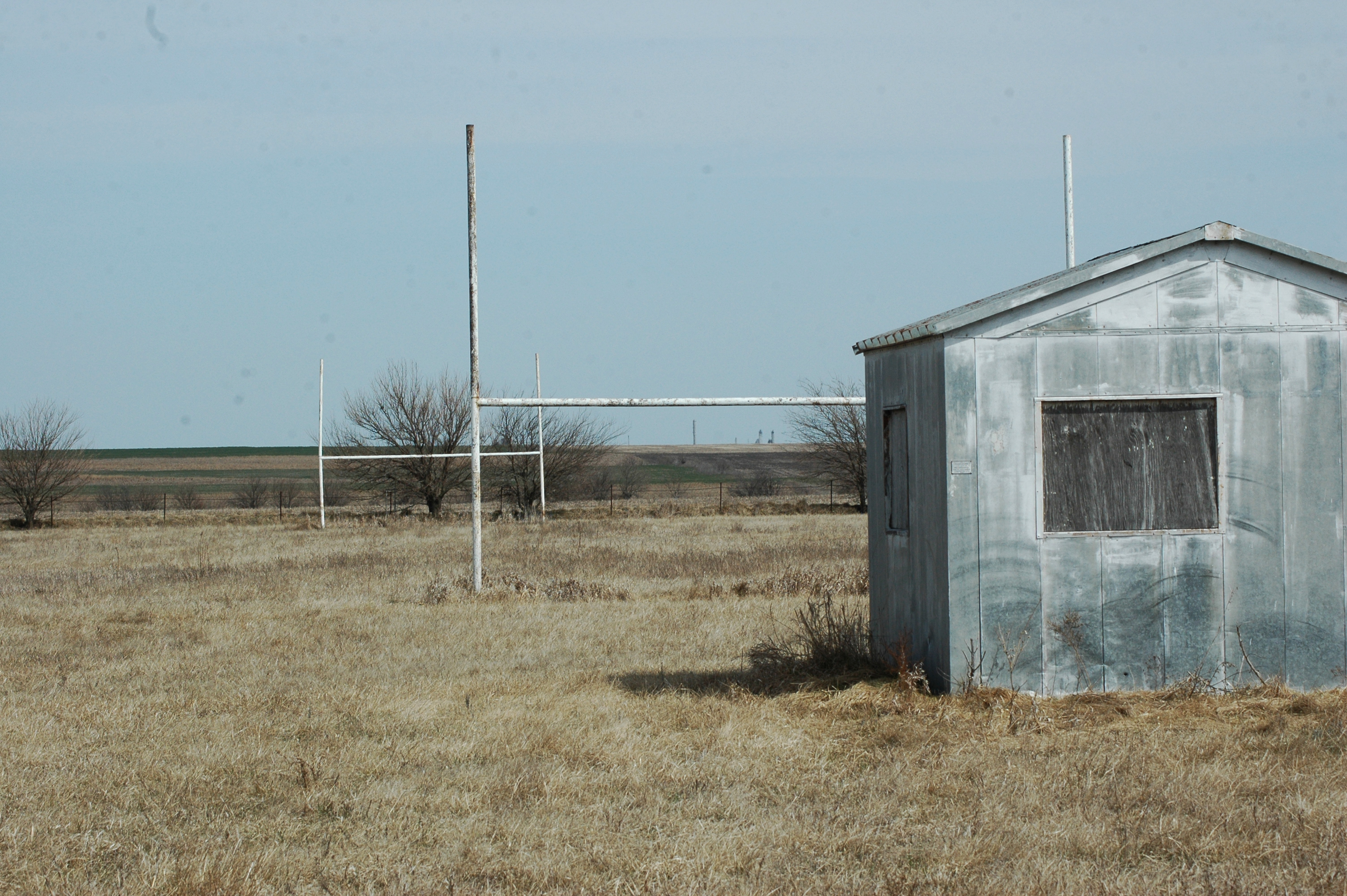
Old Football Field
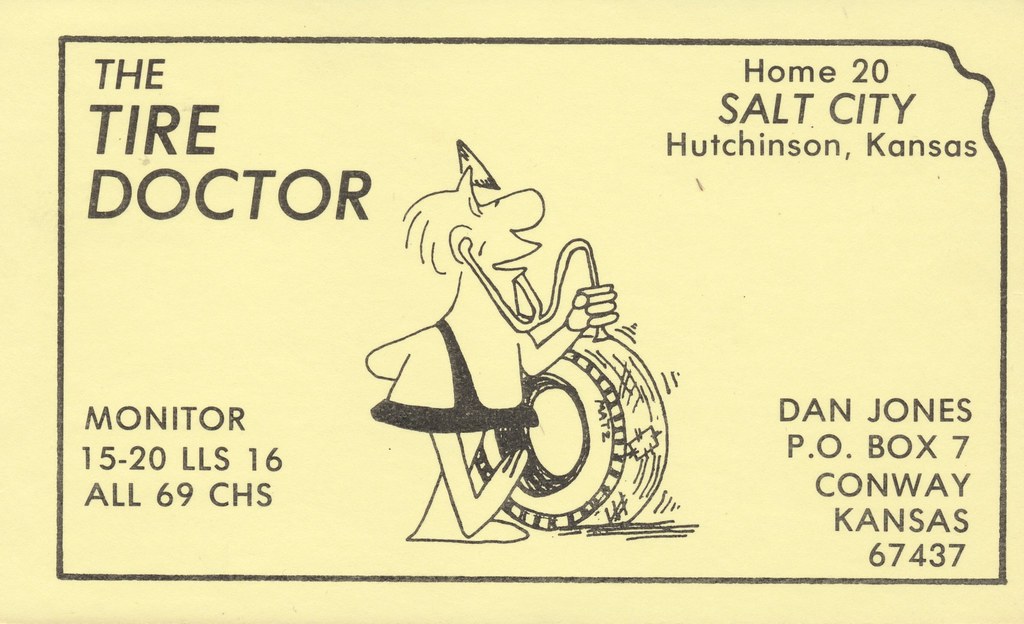
The Tire Doctor - Conway, Kansas

Downtown Windom (2 of 2)

Downtown Windom (1 of 2)

Fuller's Market

Windom City Hall building

Little River, Kansas

U.S.A. State, Kansas, City, Little River (Ford Crown Vic.)

WAMX 3902

WAMX 3902

WAMX 3902 R PAINTED

DSC_0909 (1)

Loading Pens

New Beginnings
Topographic Map of Main St, Windom, KS, USA
Find elevation by address:

Places near Main St, Windom, KS, USA:
Windom
Castle
Union
Main St, Little River, KS, USA
Little River
US-56, McPherson, KS, USA
Jackson
Avenue W, Marquette, KS, USA
Marquette
E 4th St, Marquette, KS, USA
Church St, Lyons, KS, USA
Langley
Mitchell
Pennsylvania St, McPherson, KS, USA
Marquette
8th Ave, Lindsborg, KS, USA
Mcpherson County
10410 Pennington Rd
Medora
Pathfinder Ln, McPherson, KS, USA
Recent Searches:
- Elevation of Groblershoop, South Africa
- Elevation of Power Generation Enterprises | Industrial Diesel Generators, Oak Ave, Canyon Country, CA, USA
- Elevation of Chesaw Rd, Oroville, WA, USA
- Elevation of N, Mt Pleasant, UT, USA
- Elevation of 6 Rue Jules Ferry, Beausoleil, France
- Elevation of Sattva Horizon, 4JC6+G9P, Vinayak Nagar, Kattigenahalli, Bengaluru, Karnataka, India
- Elevation of Great Brook Sports, Gold Star Hwy, Groton, CT, USA
- Elevation of 10 Mountain Laurels Dr, Nashua, NH, USA
- Elevation of 16 Gilboa Ln, Nashua, NH, USA
- Elevation of Laurel Rd, Townsend, TN, USA