Elevation of Main St, Vilonia, AR, USA
Location: United States > Arkansas > Faulkner County > Palarm Township >
Longitude: -92.259815
Latitude: 35.083686
Elevation: 107m / 351feet
Barometric Pressure: 100KPa
Elevation Map:
Satellite Map:
Related Photos:

Greer Veon E1
ISO100-0092

Red Tide

#Arkansas #conway #LakeConway

Red Dawn

Lake Conway - Lawrence Landing Sunrise [Explore: #94]

October Sky
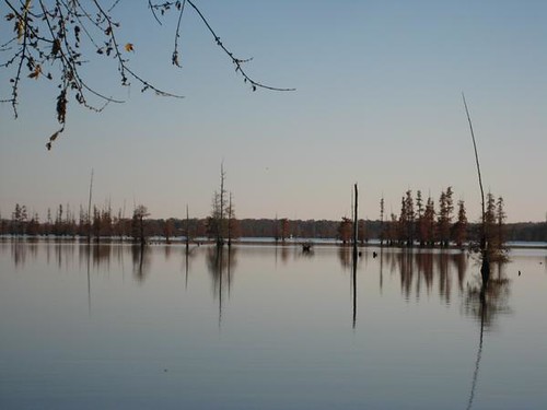
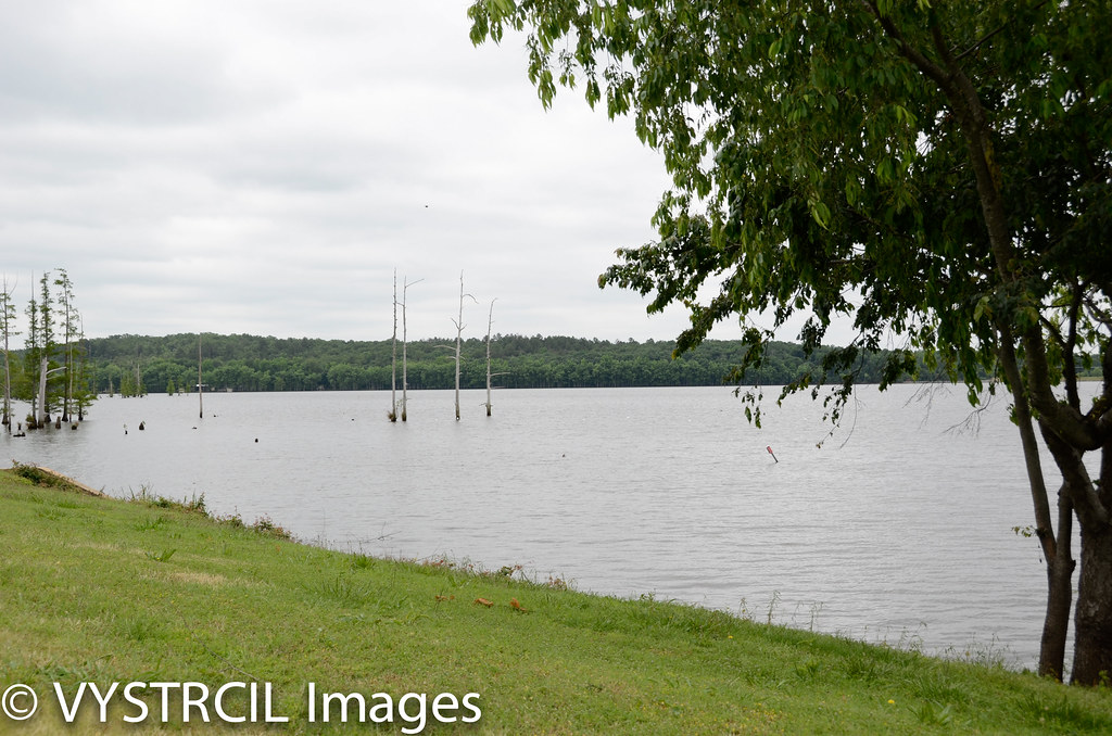
lake conway
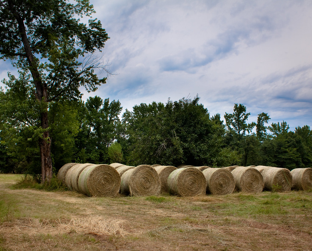
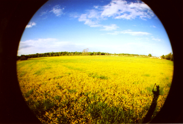
waves of hay

Pearl crescent

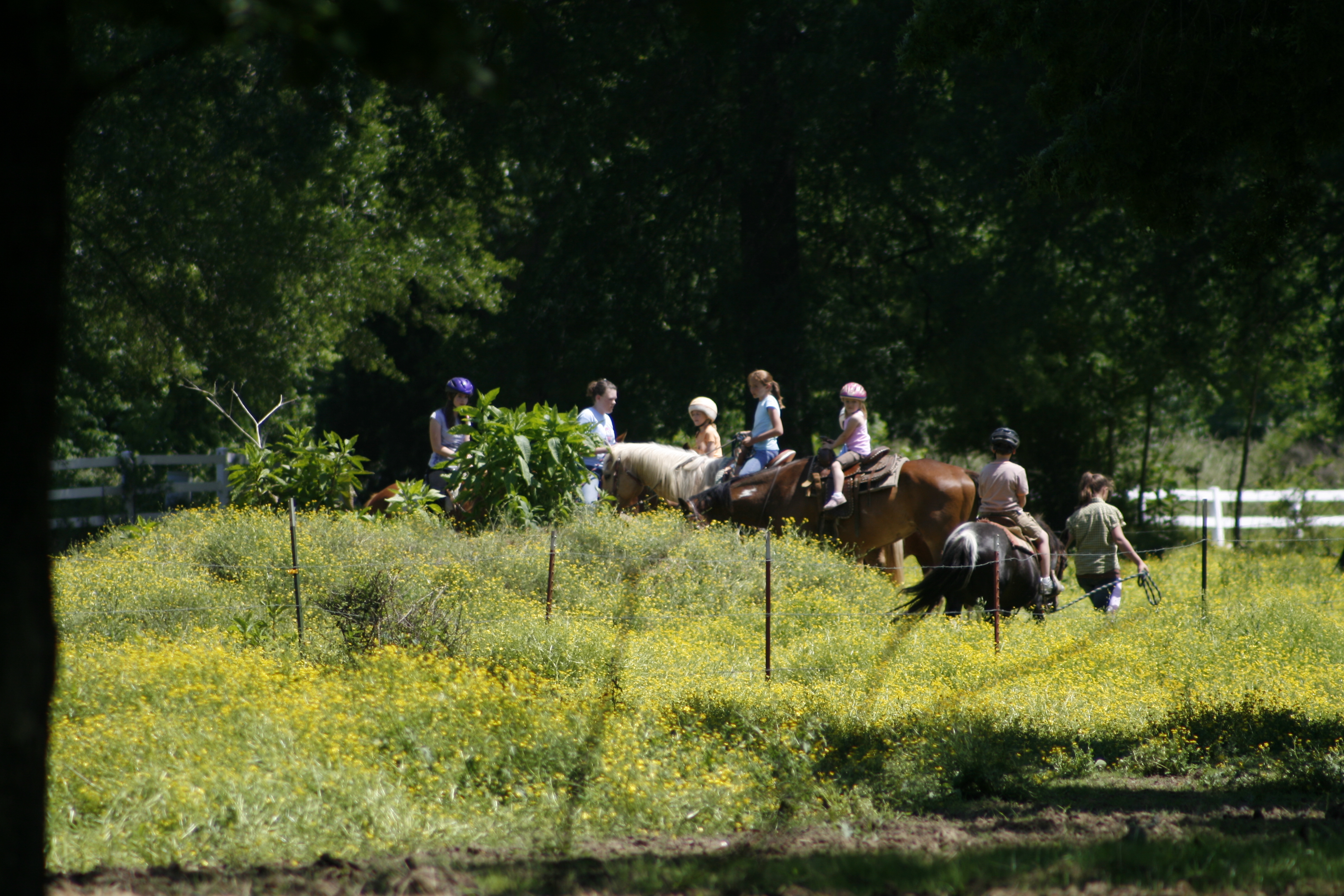
Not quite royalty

Sunset - 1/22/11
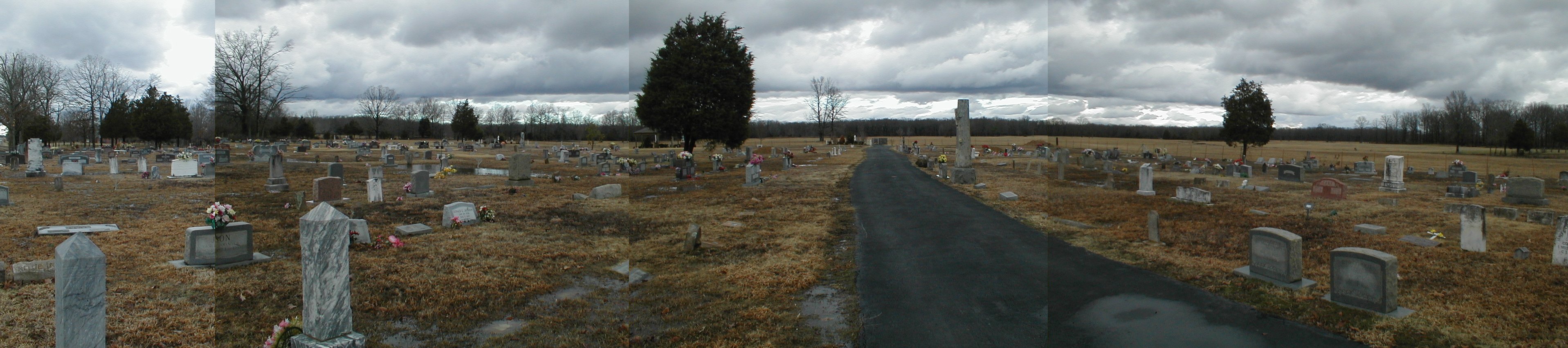
002 Harmony Cemetery

hay fever
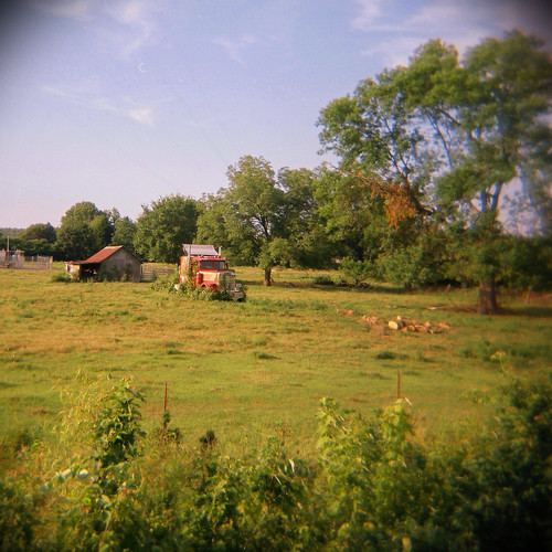
stuck in park
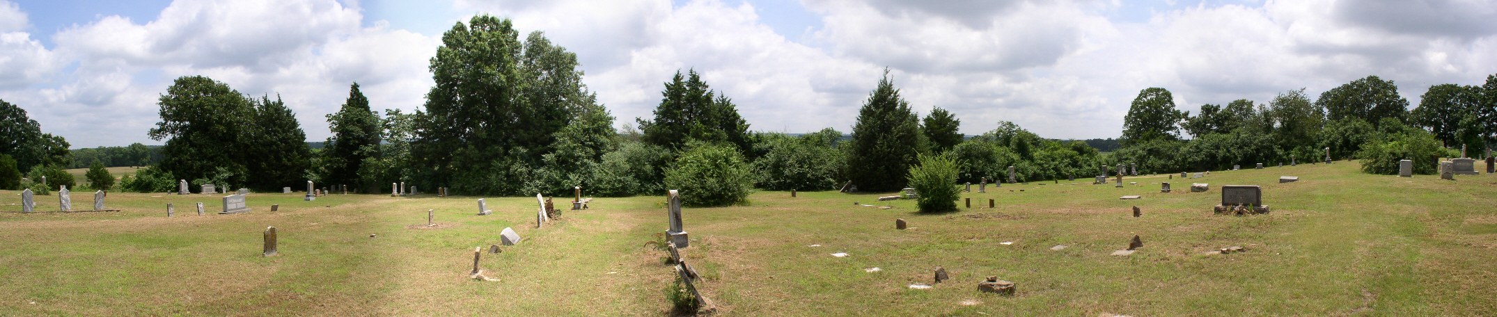
005 Mount Olive

_D7K4111.jpg
_D7K4112.jpg
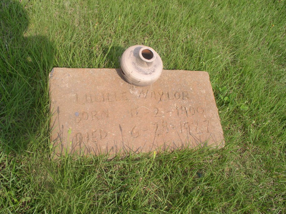
Naylor Lucille
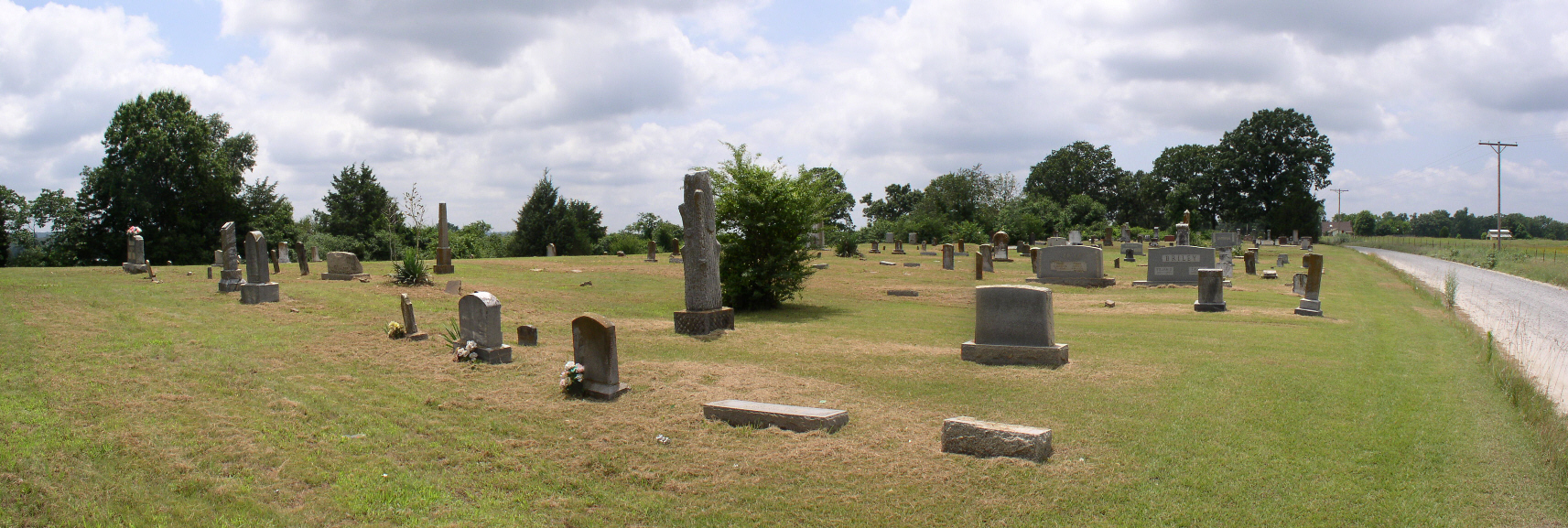
003 Mount Olive
On the Edge

Arkansas sunset
Topographic Map of Main St, Vilonia, AR, USA
Find elevation by address:

Places near Main St, Vilonia, AR, USA:
35 S Coker Rd
35 S Coker Rd
40 S Coker Rd
40 S Coker Rd
244 Beryl Rd S
Eagle Township
44 Hiawatha Ln
US-64, Conway, AR, USA
727 Rocky Point Rd
727 Rocky Point Rd
Palarm Township
158 Saltillo Rd
784 Rocky Point Rd
780 Rocky Point Rd
767 Rocky Point Rd
Vilonia
2 Indianhead Dr
181 Saltillo Rd
15 Eagle Crest Dr
14 Rickey Dr
Recent Searches:
- Elevation of Crystal Cir, Birmingham, AL, USA
- Elevation of N Railroad Ave, West Palm Beach, FL, USA
- Elevation of 55 Cassick Valley Rd, Wellfleet, MA, USA
- Elevation of Ironwood Dr, Minden, NV, USA
- Elevation of 高尾山口駅, Takaomachi, Hachioji, Tokyo -, Japan
- Elevation of 15 Victory Ave, Greenville, SC, USA
- Elevation of Kota Ternate Utara, Ternate City, North Maluku, Indonesia
- Elevation of Allon St, Oceanside, NY, USA
- Elevation of Carroll Creek Rd, Custer, SD, USA
- Elevation of Lust Road, Lust Rd, Florida, USA