Elevation of Main St, Tuttle, ND, USA
Location: United States > North Dakota > Kidder County > Tuttle >
Longitude: -99.994389
Latitude: 47.1432638
Elevation: 565m / 1854feet
Barometric Pressure: 95KPa
Elevation Map:
Satellite Map:
Related Photos:
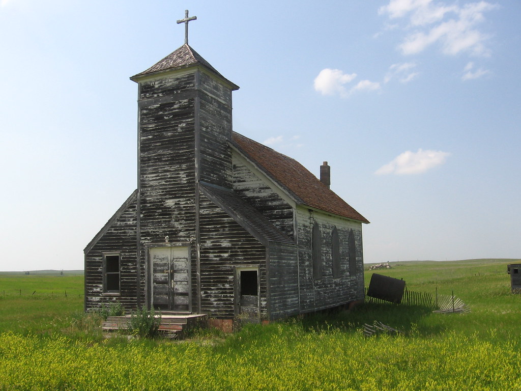
Arena, ND Church
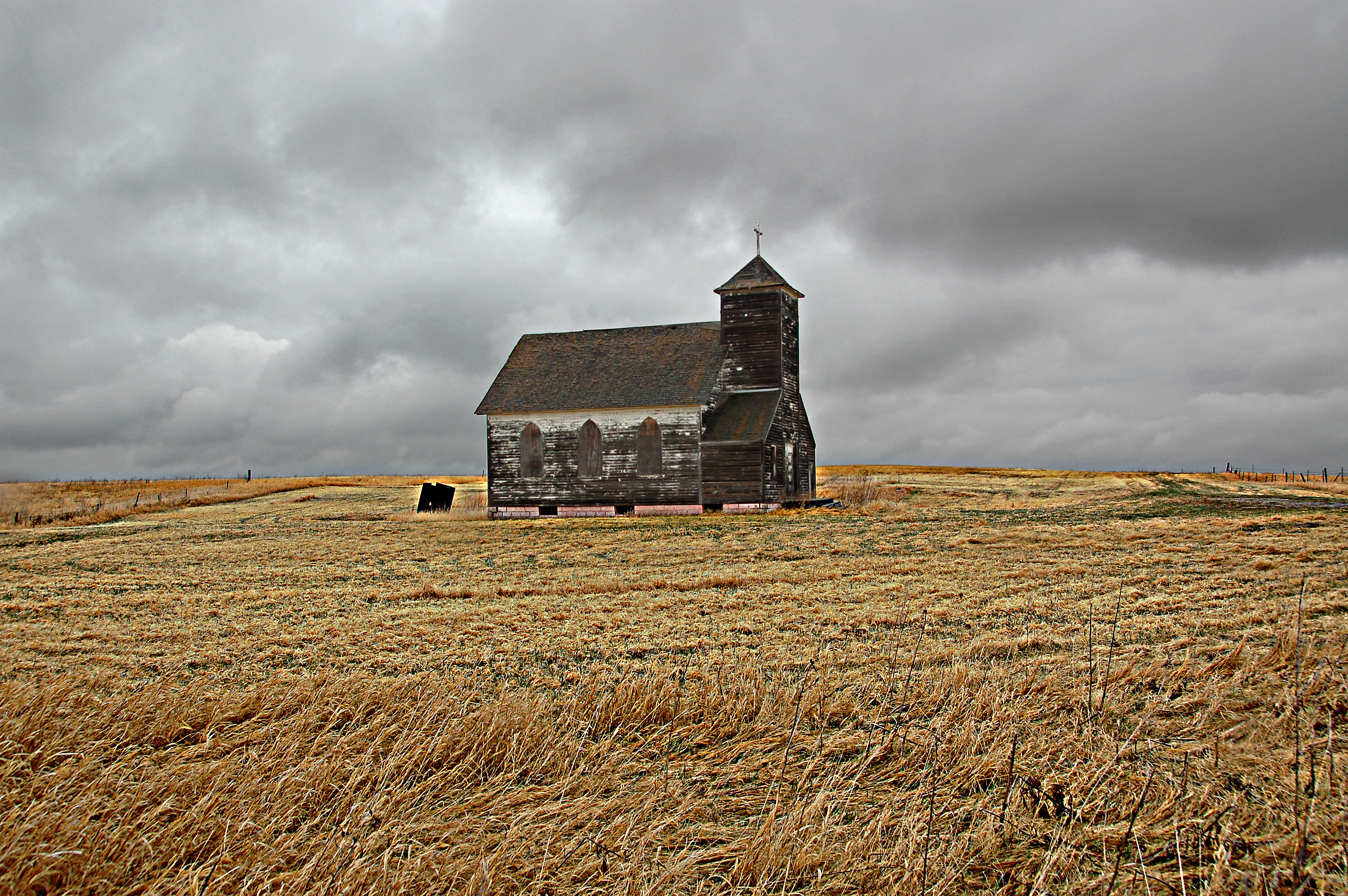
Standing on Faith Alone--Abandoned North Dakota

Scab all day.

Abandoned schoolhouse east of Tuttle on North Dakota Highway 36
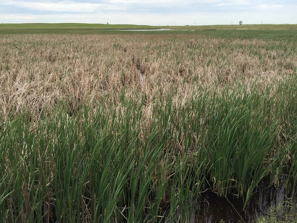
Kidder County habitat

Least Bittern
Kidder County habitat

Least Bittern

Yellow-headed Blackbird, juvenile
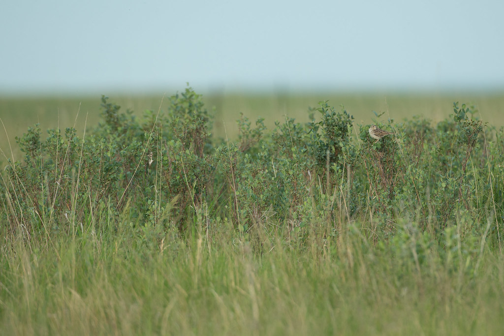
Baird's Sparrow
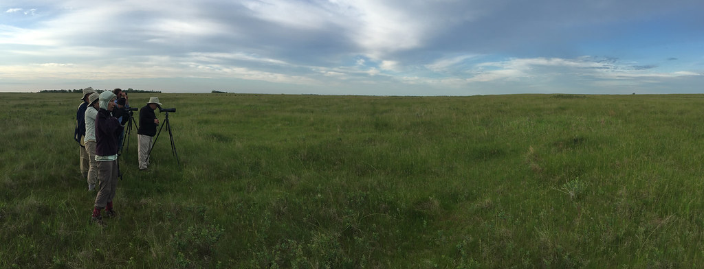
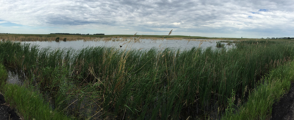
Kidder County habitat

Nelson's Sparrow
Topographic Map of Main St, Tuttle, ND, USA
Find elevation by address:

Places near Main St, Tuttle, ND, USA:
Tuttle
12824 444th St Ne
12824 444th St Ne
12824 444th St Ne
12824 444th St Ne
12824 444th St Ne
Fairview
3963 14th St Ne
Sheridan County
Burleigh County
2324 19th St Ne
Harvey
Ecklund
Lakeview Drive
Gibbs
Apple Creek
3550 279th Ave Ne
1101 80th St Se
Bismarck, ND, USA
66th St SE, Bismarck, ND, USA
Recent Searches:
- Elevation of 6 Rue Jules Ferry, Beausoleil, France
- Elevation of Sattva Horizon, 4JC6+G9P, Vinayak Nagar, Kattigenahalli, Bengaluru, Karnataka, India
- Elevation of Great Brook Sports, Gold Star Hwy, Groton, CT, USA
- Elevation of 10 Mountain Laurels Dr, Nashua, NH, USA
- Elevation of 16 Gilboa Ln, Nashua, NH, USA
- Elevation of Laurel Rd, Townsend, TN, USA
- Elevation of 3 Nestling Wood Dr, Long Valley, NJ, USA
- Elevation of Ilungu, Tanzania
- Elevation of Yellow Springs Road, Yellow Springs Rd, Chester Springs, PA, USA
- Elevation of Rēzekne Municipality, Latvia