Elevation of Main St, Slocan, BC V0G 2C0, Canada
Location: Canada > British Columbia > Central Kootenay > Central Kootenay H > Slocan >
Longitude: -117.47221
Latitude: 49.7653543
Elevation: 549m / 1801feet
Barometric Pressure: 95KPa
Elevation Map:
Satellite Map:
Related Photos:
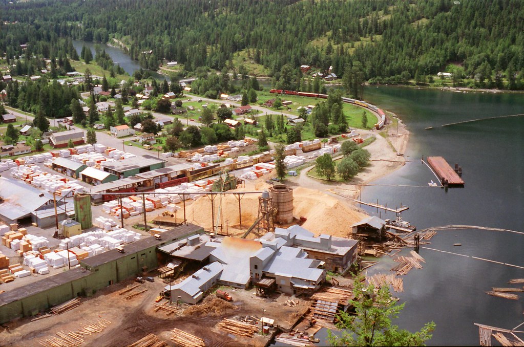
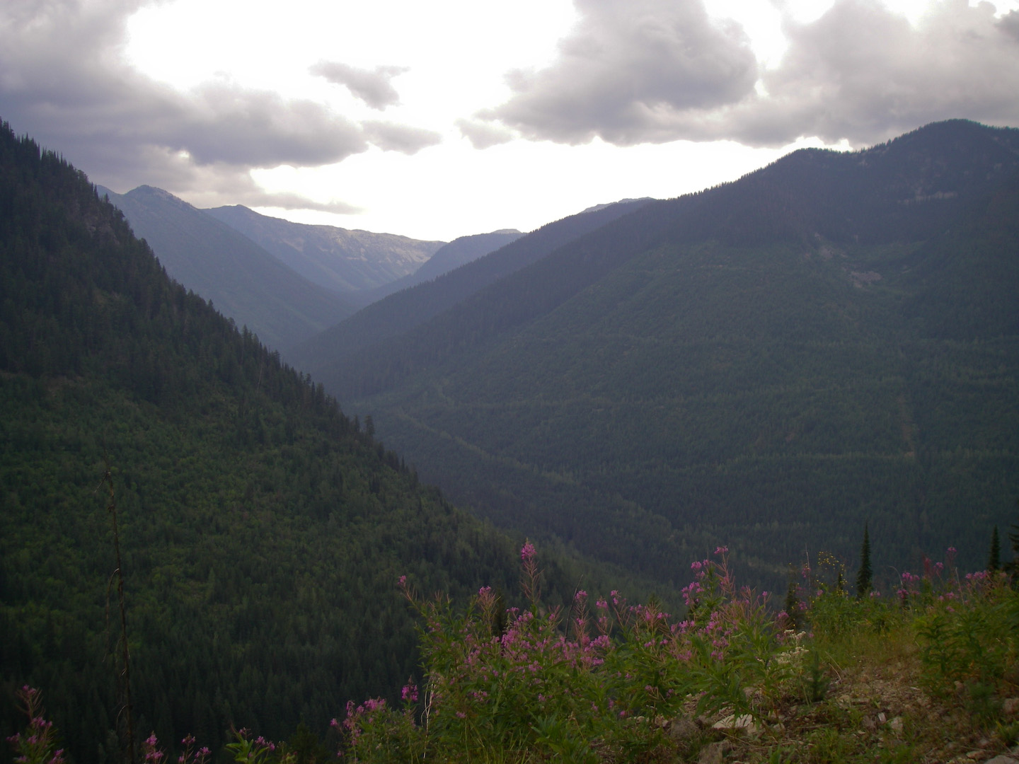
Slocan City
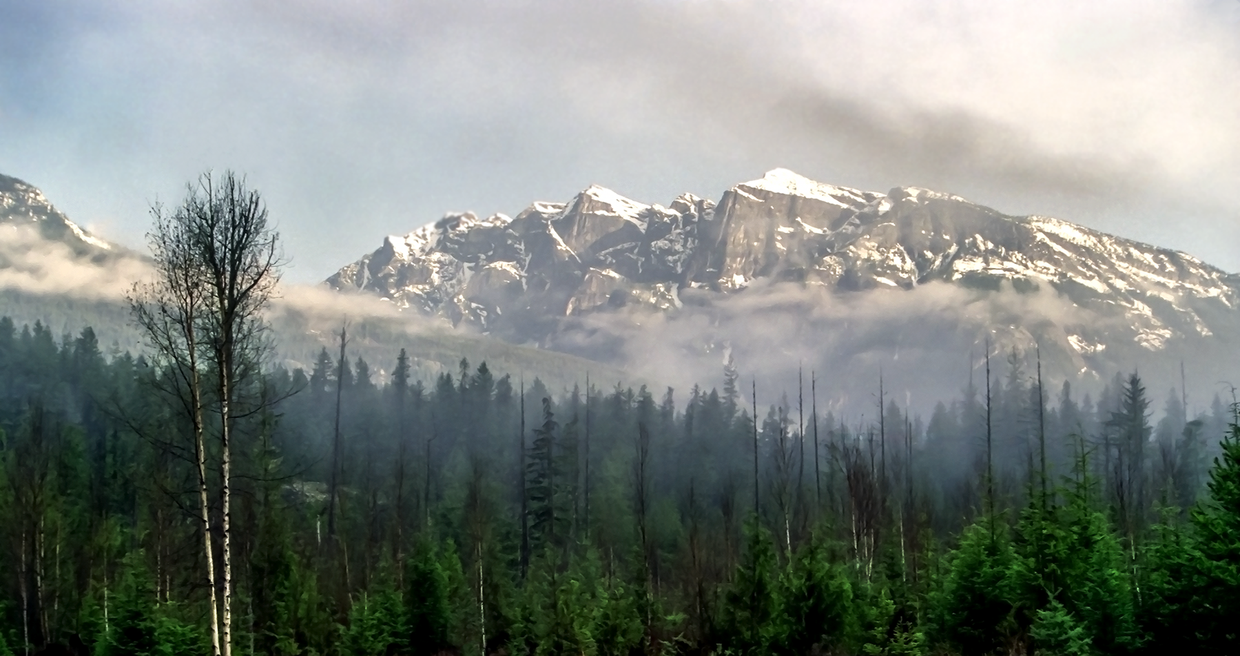
Postcard Mountain

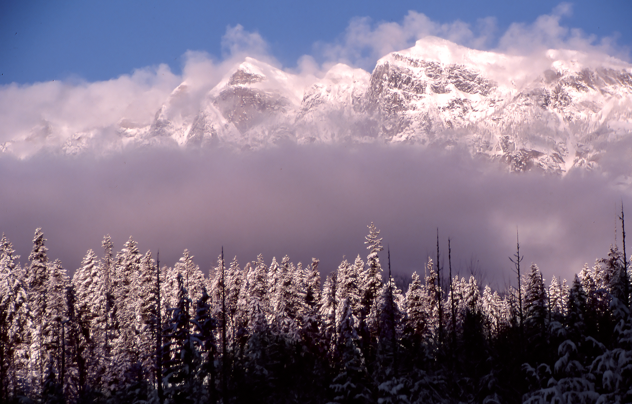
Ski day
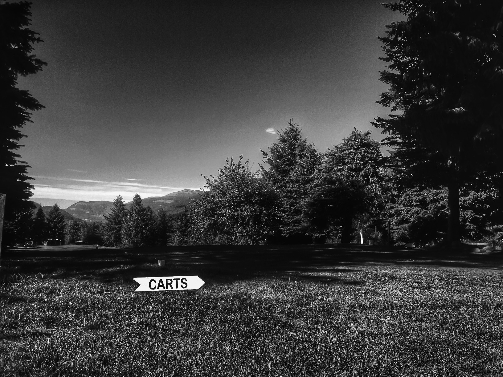
CartsThis Way

scenic stop view

Positive Negative Space
The view from my window

Trippin'

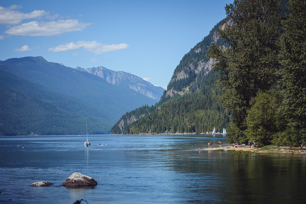
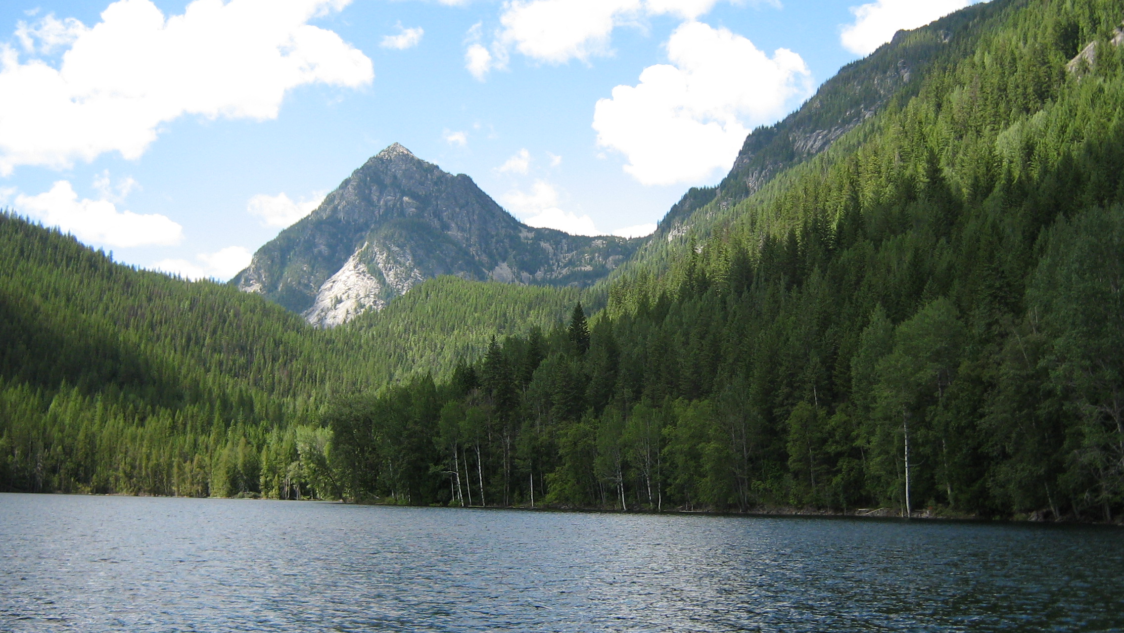
Slocan Lake
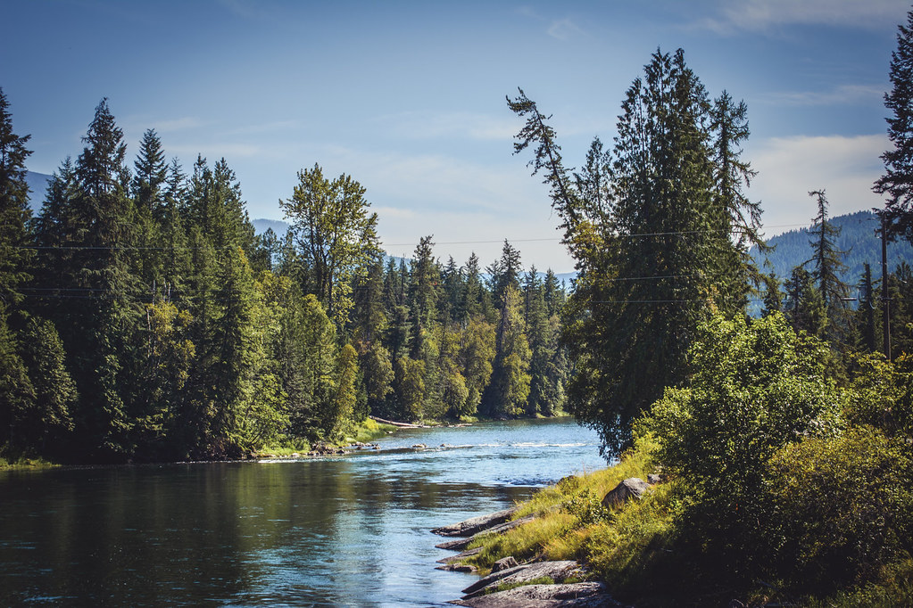
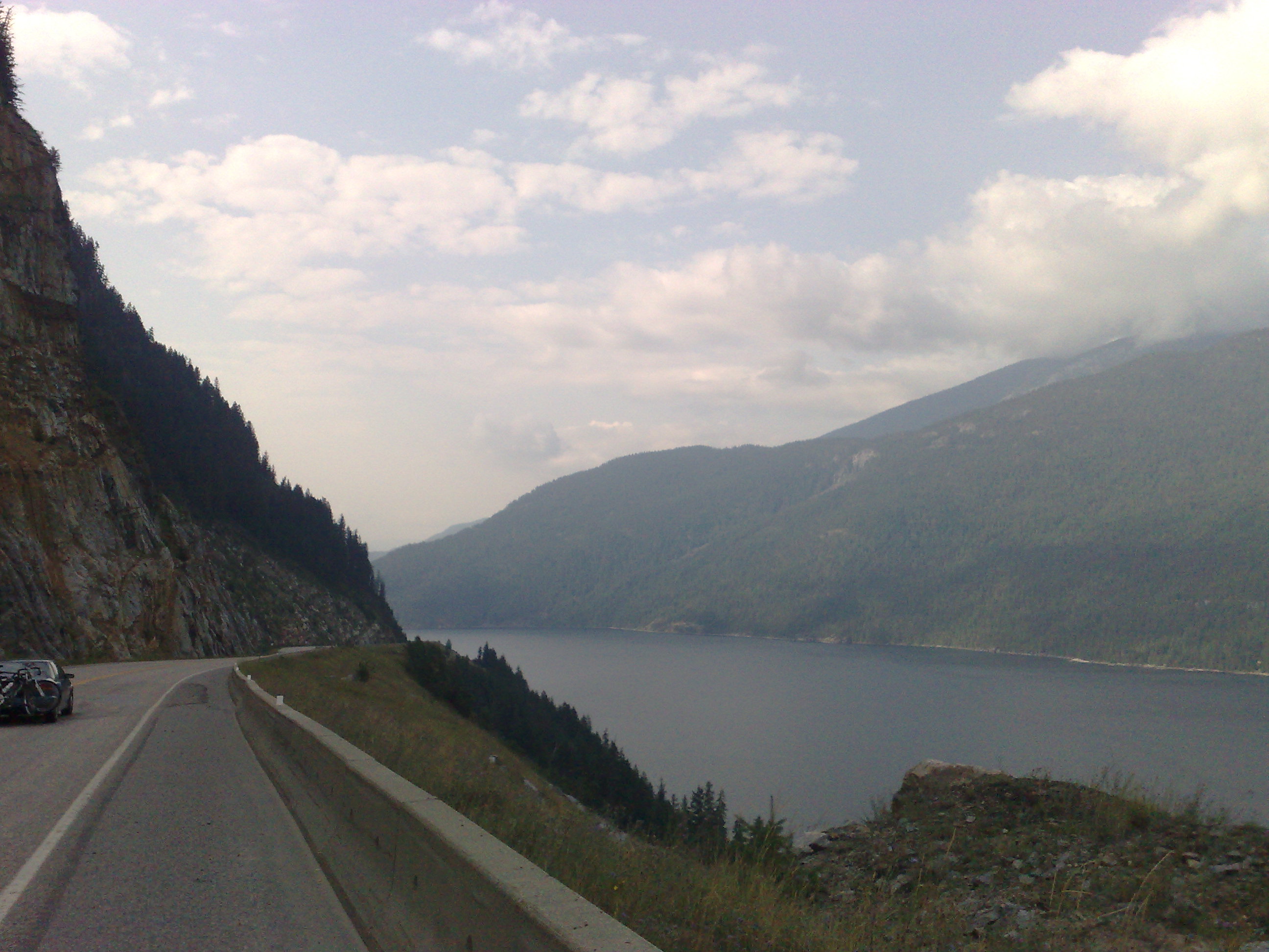
Slocan River
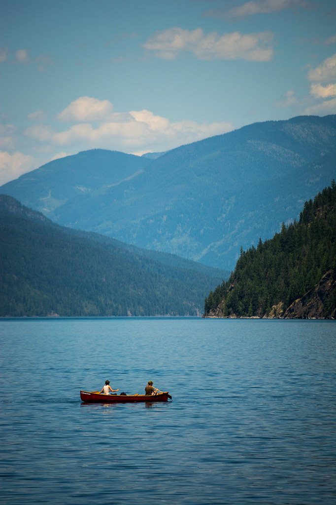
Slocan Lake

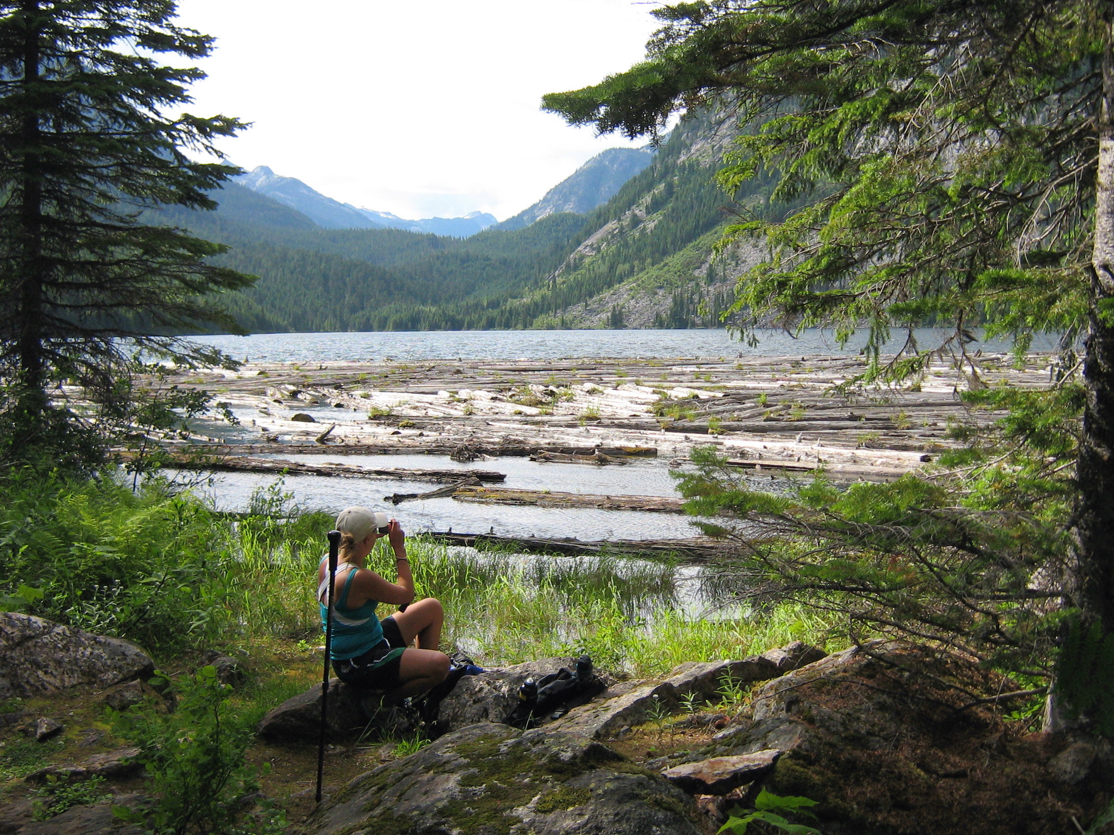
End of the Lake
Slocan Lake

Slocan Lake
Cahill lake rest stop
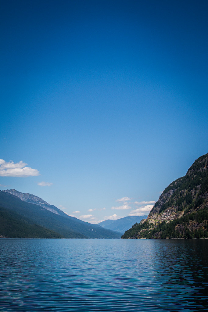
Slocan Lake

Cahill lake

April 15 - Sunset
-515
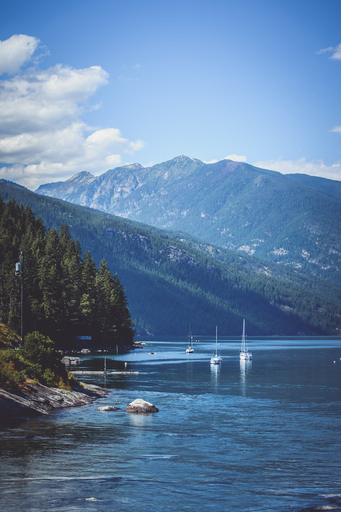
Slocan Lake
04-09-2009

Crossing Beatrice Creek
Emerald lake

Slocan Lake
Topographic Map of Main St, Slocan, BC V0G 2C0, Canada
Find elevation by address:

Places near Main St, Slocan, BC V0G 2C0, Canada:
Slocan
512 Fletcher Ave
512 Fletcher Ave
614 Park Ave
8578 Bc-6
Rooster Road
Central Kootenay H
Avis Road
Bentley Road
Central Kootenay
6778 Katelnikoff Rd
Appledale
Lois Lane
8651 Bc-6
8788 Bc-6
8651 Bc-6
8651 Bc-6
8651 Bc-6
Lancaster Road
5709 Bc-6
Recent Searches:
- Elevation of Luther Road, Luther Rd, Auburn, CA, USA
- Elevation of Unnamed Road, Respublika Severnaya Osetiya — Alaniya, Russia
- Elevation of Verkhny Fiagdon, North Ossetia–Alania Republic, Russia
- Elevation of F. Viola Hiway, San Rafael, Bulacan, Philippines
- Elevation of Herbage Dr, Gulfport, MS, USA
- Elevation of Lilac Cir, Haldimand, ON N3W 2G9, Canada
- Elevation of Harrod Branch Road, Harrod Branch Rd, Kentucky, USA
- Elevation of Wyndham Grand Barbados Sam Lords Castle All Inclusive Resort, End of Belair Road, Long Bay, Bridgetown Barbados
- Elevation of Iga Trl, Maggie Valley, NC, USA
- Elevation of N Co Rd 31D, Loveland, CO, USA