Elevation of Main St, Sarita, TX, USA
Location: United States > Texas >
Longitude: -97.790580
Latitude: 27.2212473
Elevation: 11m / 36feet
Barometric Pressure: 101KPa
Elevation Map:
Satellite Map:
Related Photos:

DSC_0265 - Copy - Copy

Salvation.

White-tailed Hawk (Geranoaetus albicaudatus)

My Blue Heaven... Rusty
Evening on the Ranch

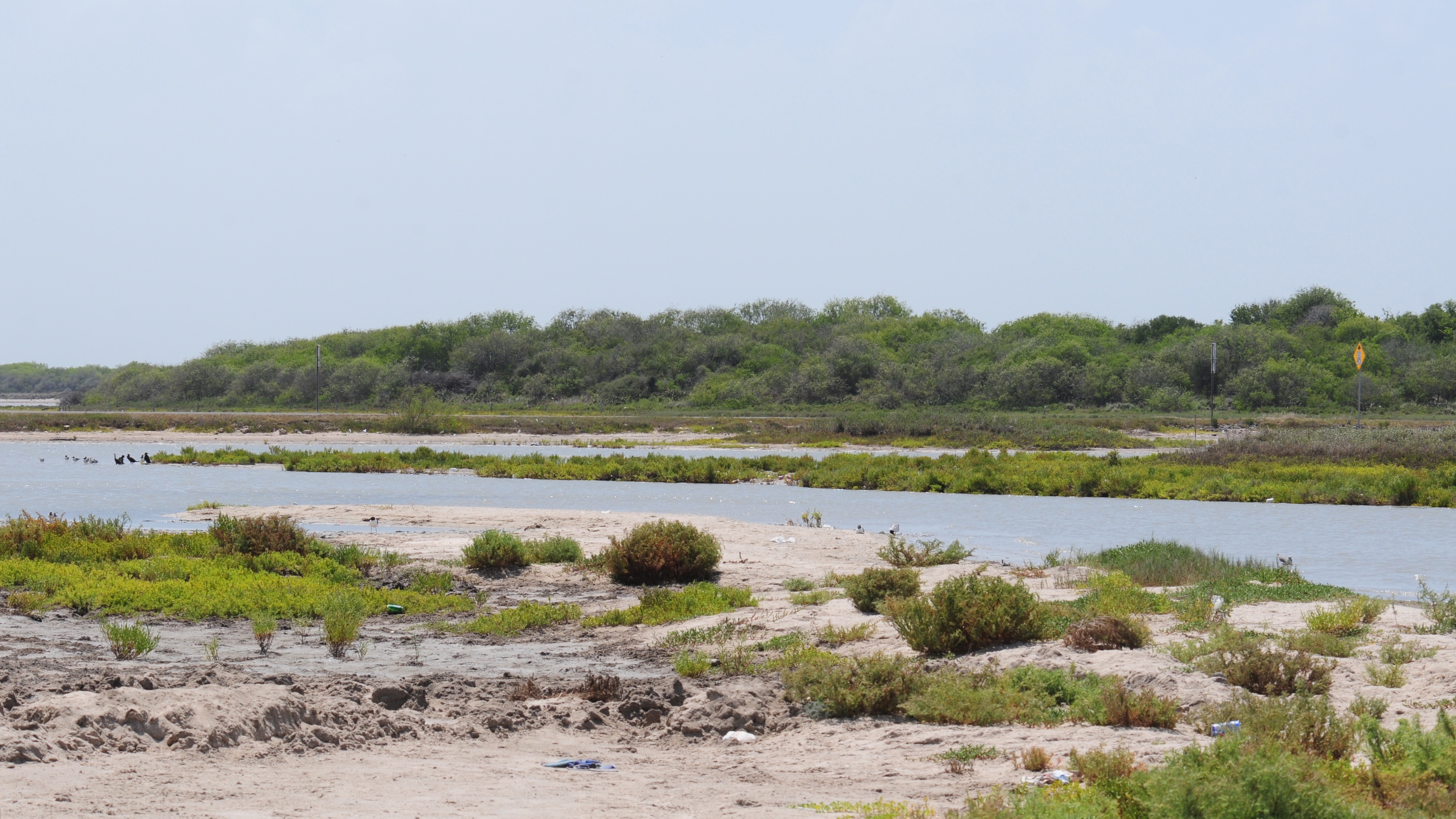
Madre Lagoon

Greater Roadrunner, back

Greater Roadrunner, front

Empty Waiting

My Blue Heaven

No Fences Please

No Drama

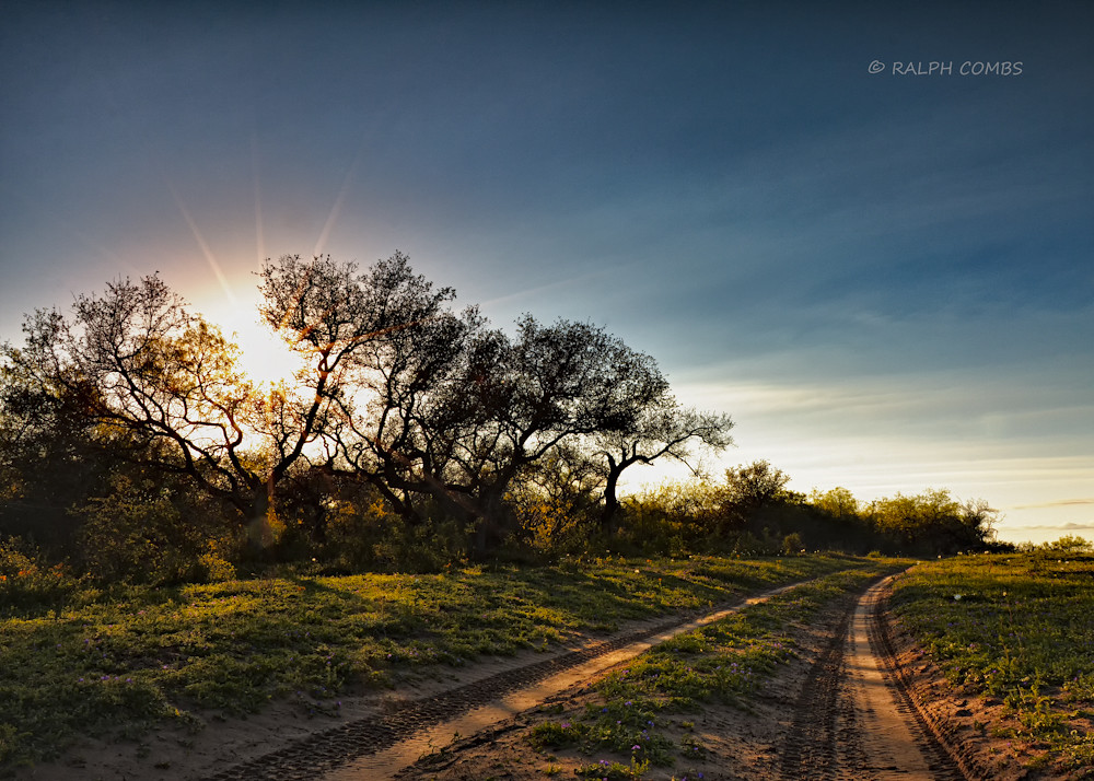
South Texas Sunrise
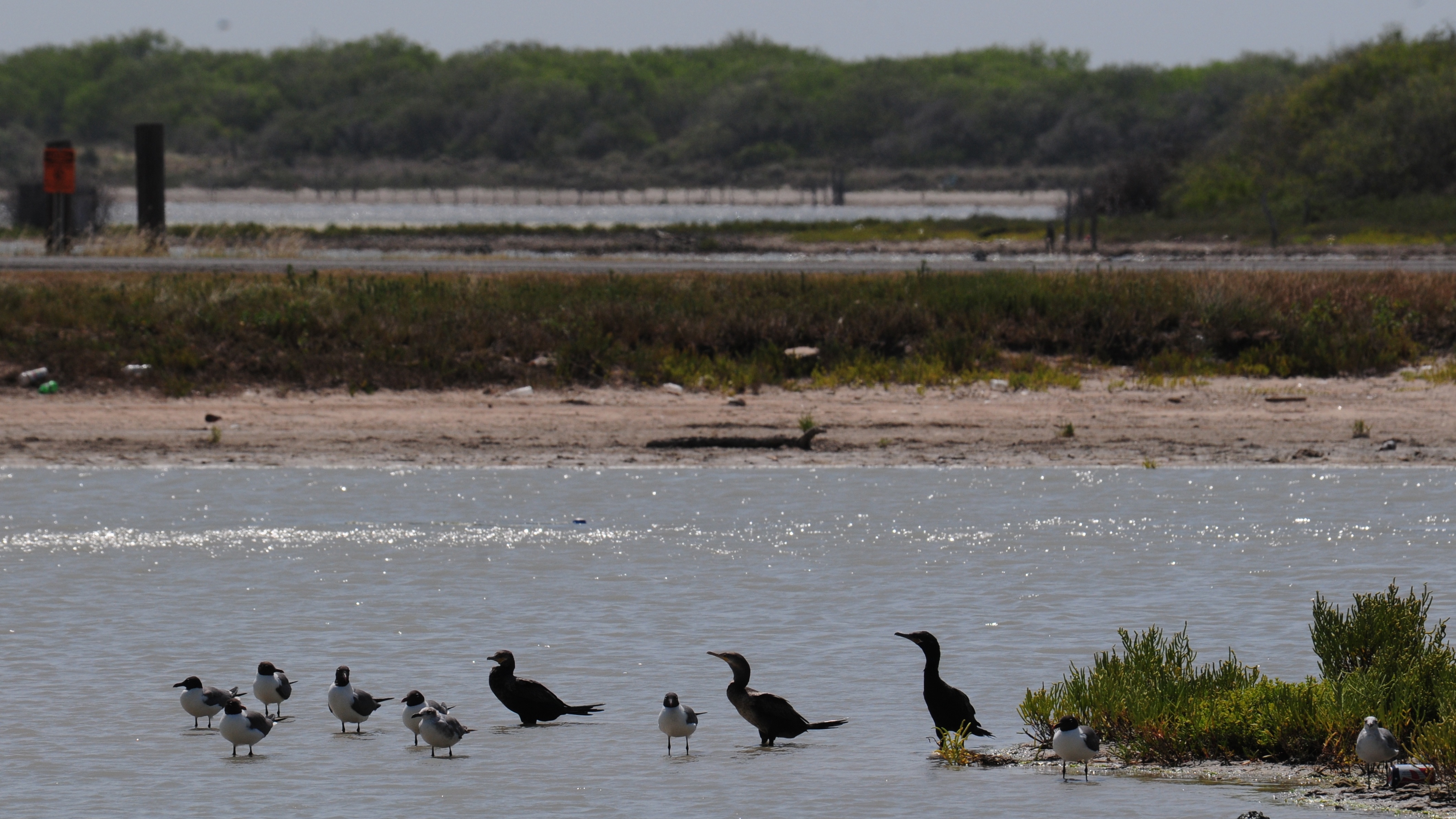
Neotropic Cormorant and Laughing Gull
Kaufer-Hubert Memorial Park, Texas
Kaufer-Hubert Memorial Park, Texas
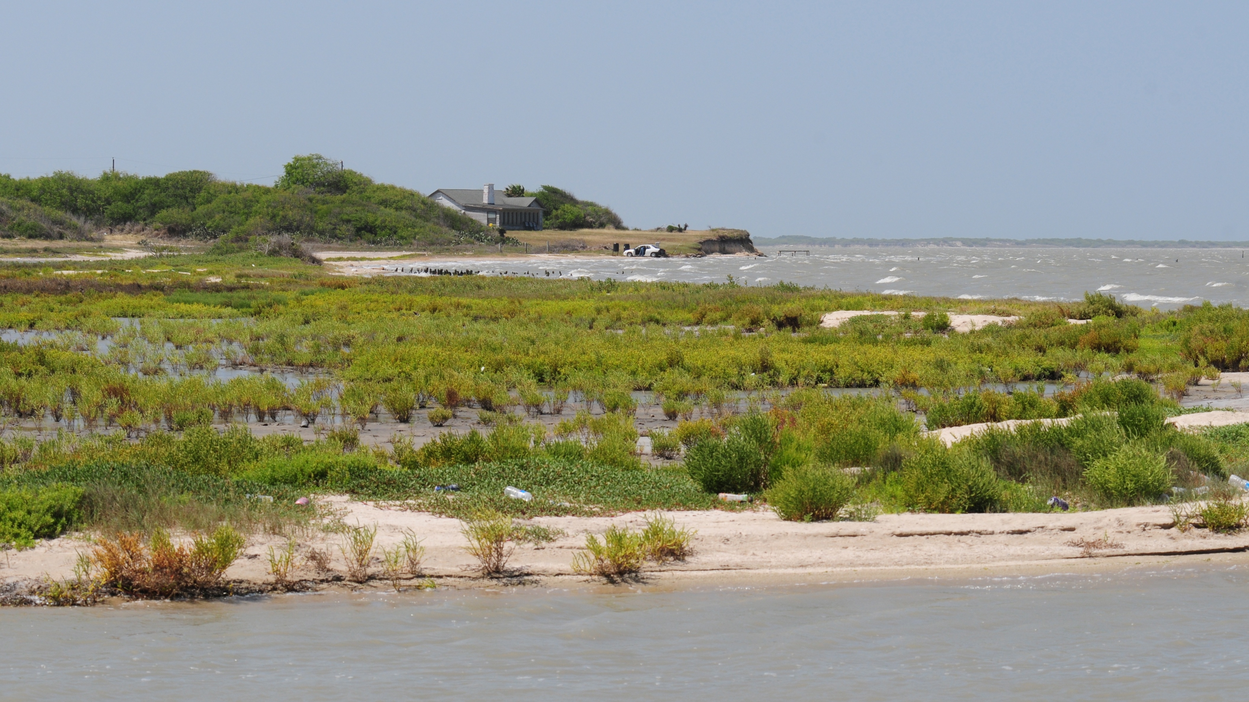
Kaufer-Hubert Memorial Park, Texas

2014 Nov 8

Texas Wildflowers

2014 Nov 8

2014 Nov 8
Topographic Map of Main St, Sarita, TX, USA
Find elevation by address:

Places near Main St, Sarita, TX, USA:
Riviera
Riviera Beach
Kleberg County
540 Fm 2619
2906 Alice Ln
Holiday Inn Express & Suites Kingsville
Armstrong
Kingsville
814 Co Rd 402
E Rice St, Falfurrias, TX, USA
Falfurrias
Premont
Kenedy County
Bishop
900 E Oregon St
Midway St, Falfurrias, TX, USA
County Road 12
County Road 14
Encino
Driscoll
Recent Searches:
- Elevation of 62 Abbey St, Marshfield, MA, USA
- Elevation of Fernwood, Bradenton, FL, USA
- Elevation of Felindre, Swansea SA5 7LU, UK
- Elevation of Leyte Industrial Development Estate, Isabel, Leyte, Philippines
- Elevation of W Granada St, Tampa, FL, USA
- Elevation of Pykes Down, Ivybridge PL21 0BY, UK
- Elevation of Jalan Senandin, Lutong, Miri, Sarawak, Malaysia
- Elevation of Bilohirs'k
- Elevation of 30 Oak Lawn Dr, Barkhamsted, CT, USA
- Elevation of Luther Road, Luther Rd, Auburn, CA, USA