Elevation of Main St, Polo, IL, USA
Location: United States > Illinois > Ogle County > Lincoln Township > Polo >
Longitude: -89.547152
Latitude: 42.0647759
Elevation: 267m / 876feet
Barometric Pressure: 98KPa
Elevation Map:
Satellite Map:
Related Photos:
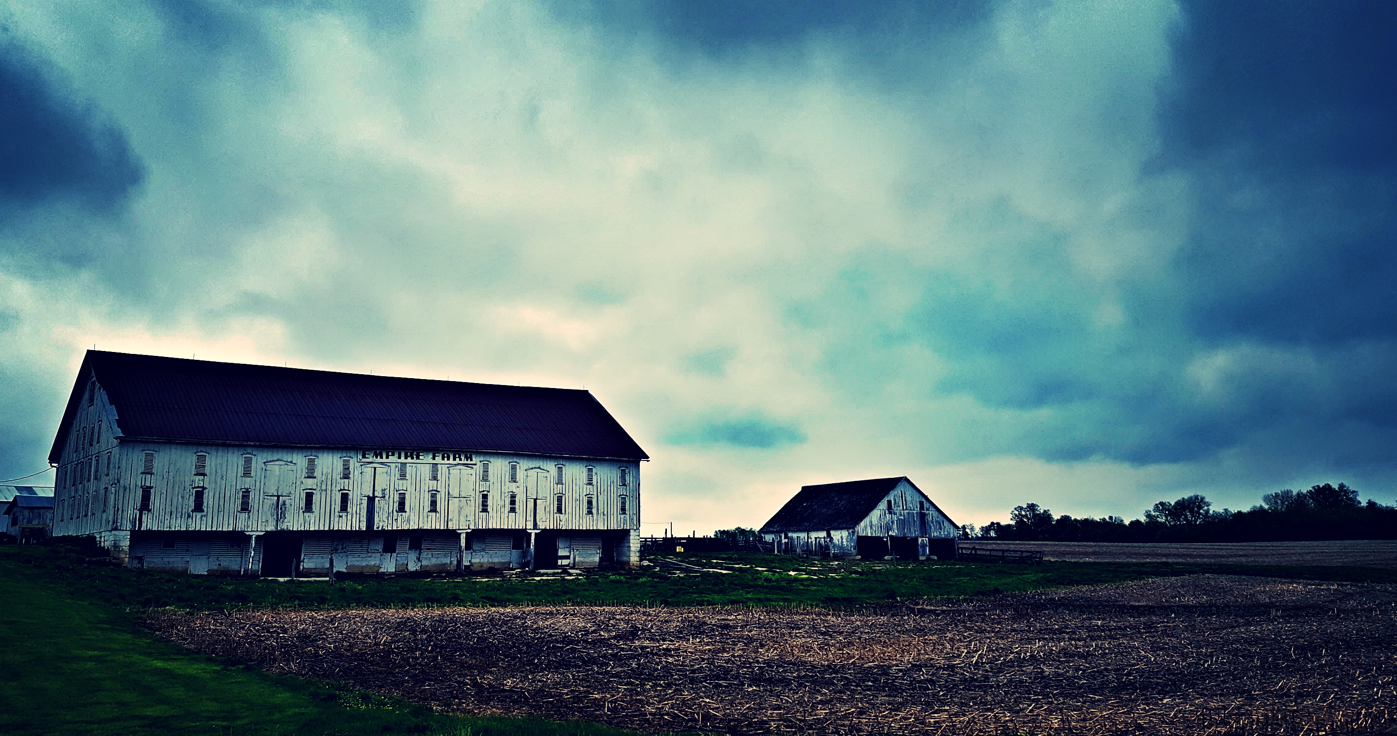
a view of the empire...
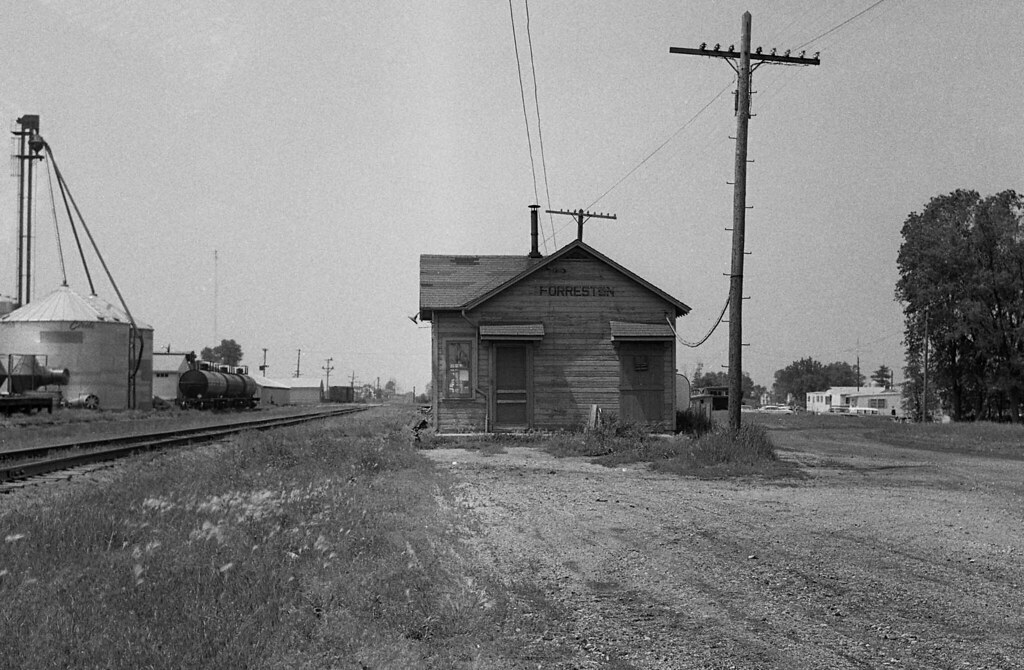
Illinois Central Depot, Forreston, Illinois
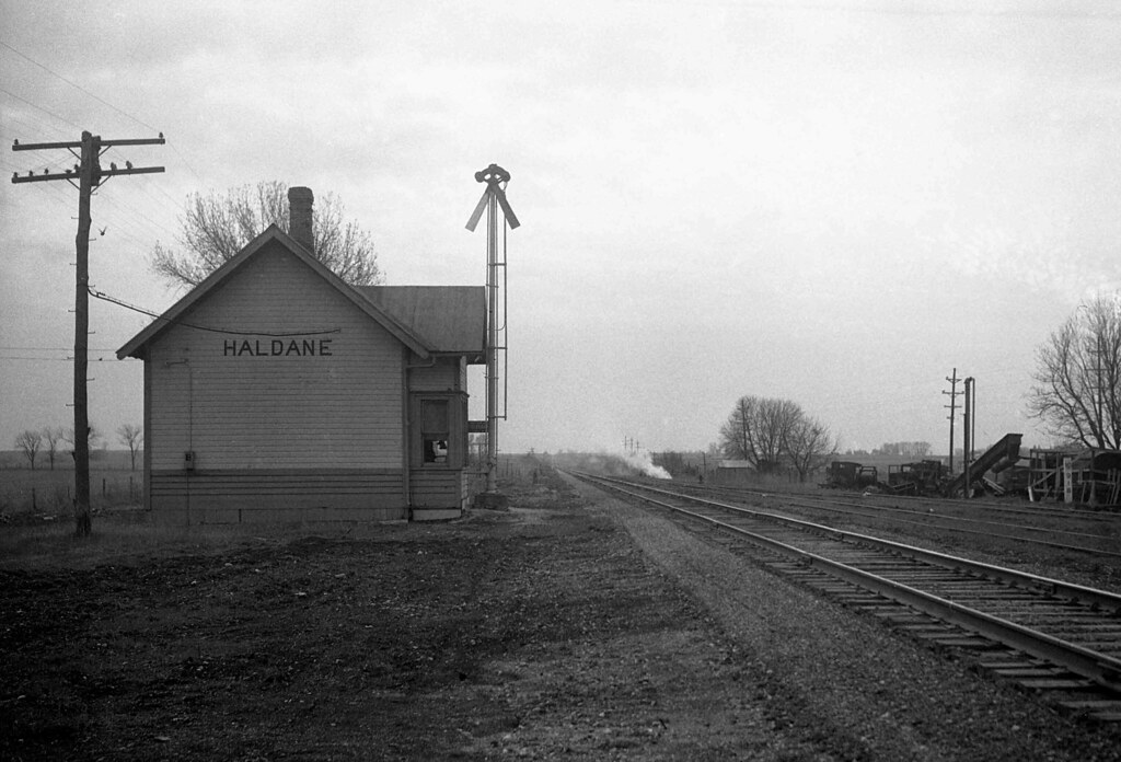
Illinois Central Depot, Haldane, Illinois
Freeport, IL

Layed to Rest

the night falls on 3352....

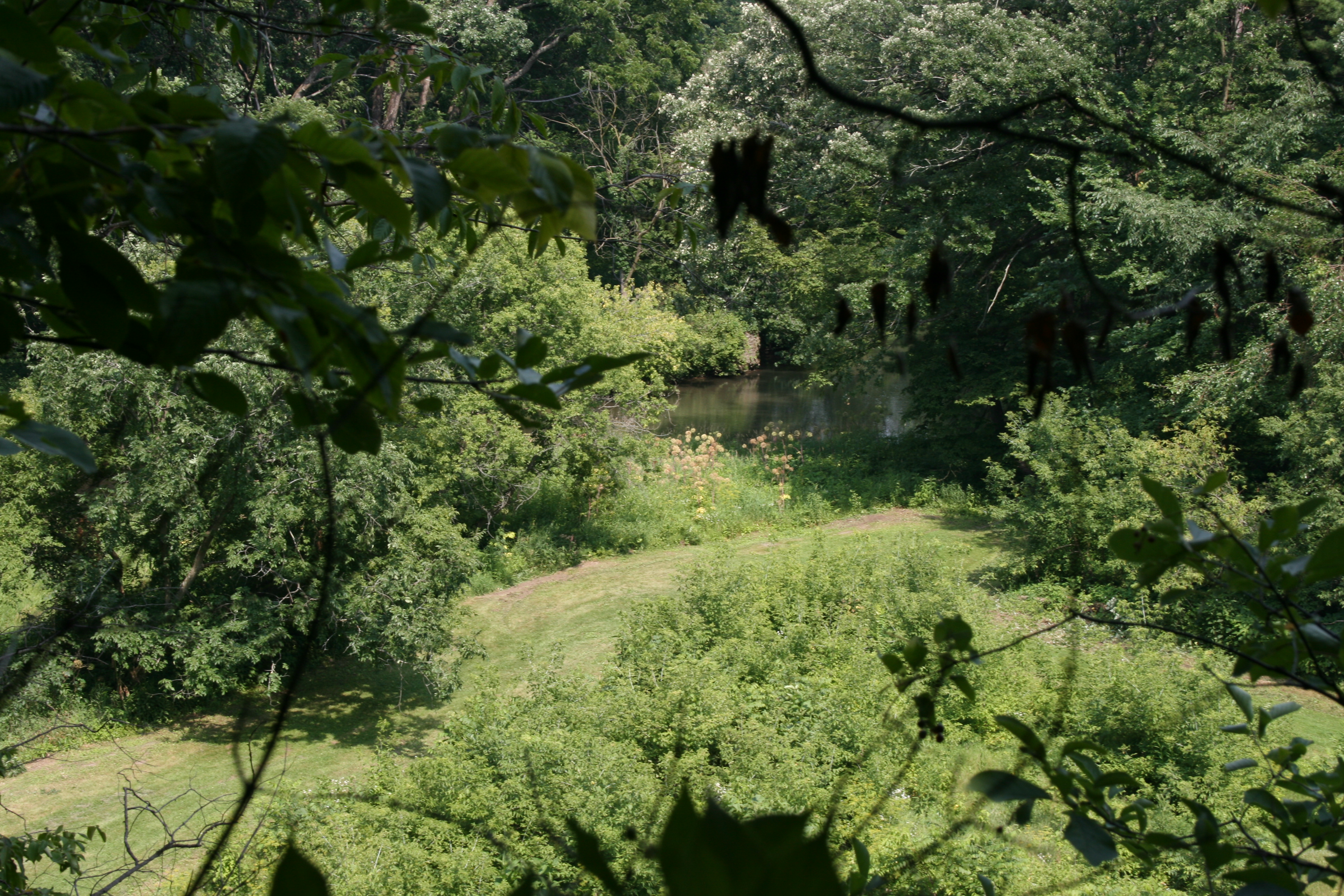
Leaf River
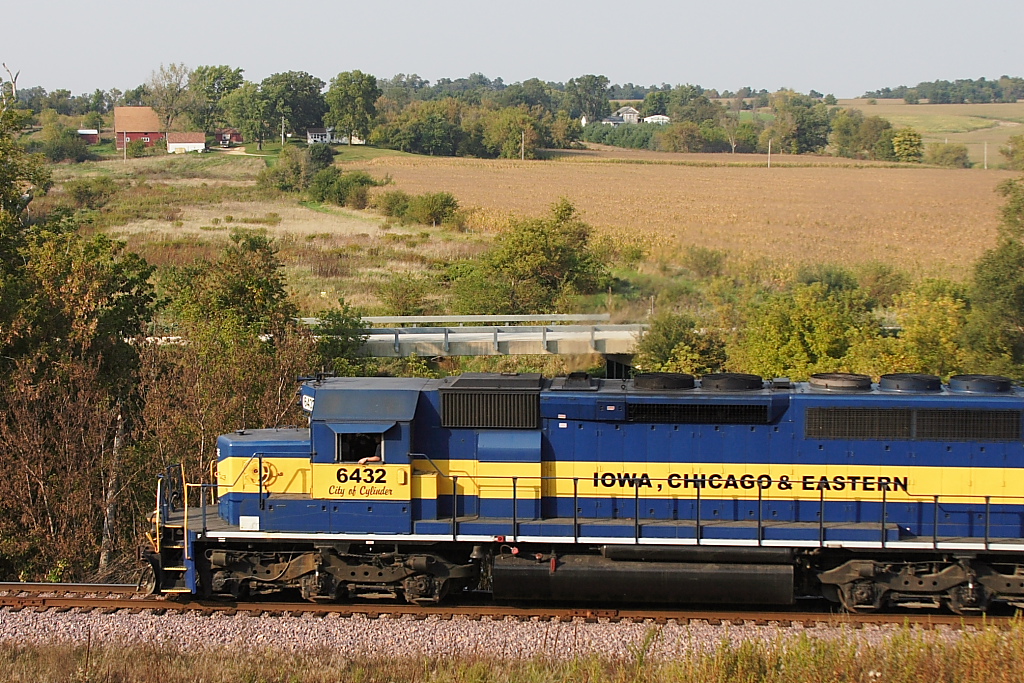
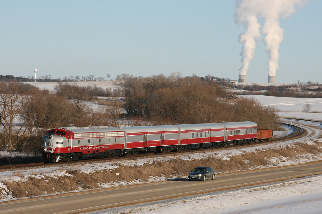
IC&E Sept. 27, 2008 at Adeline

Red Oval Barn

Looking Into a Crystal Ball

Illinois Central Depot, Forreston, Illinois
View of a creek off in the distance
Behind White Pines State Park
Leaf River
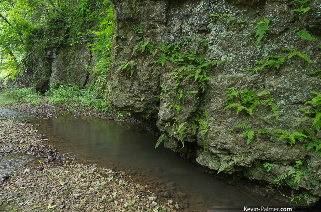
Ferns on the Wall

Just like that

the last harvest....
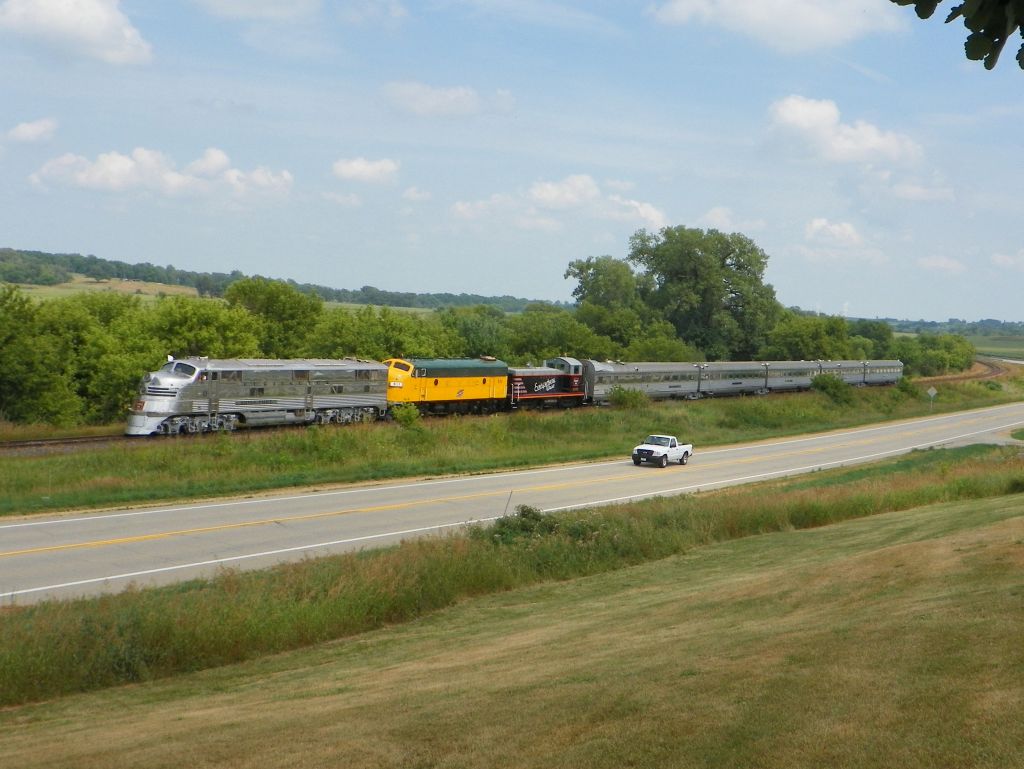
99 Curve

Meandering Creek
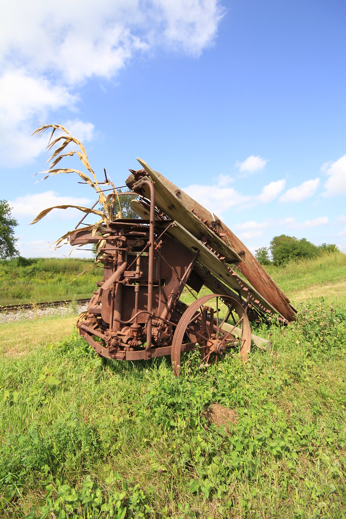
Farm Equipment???
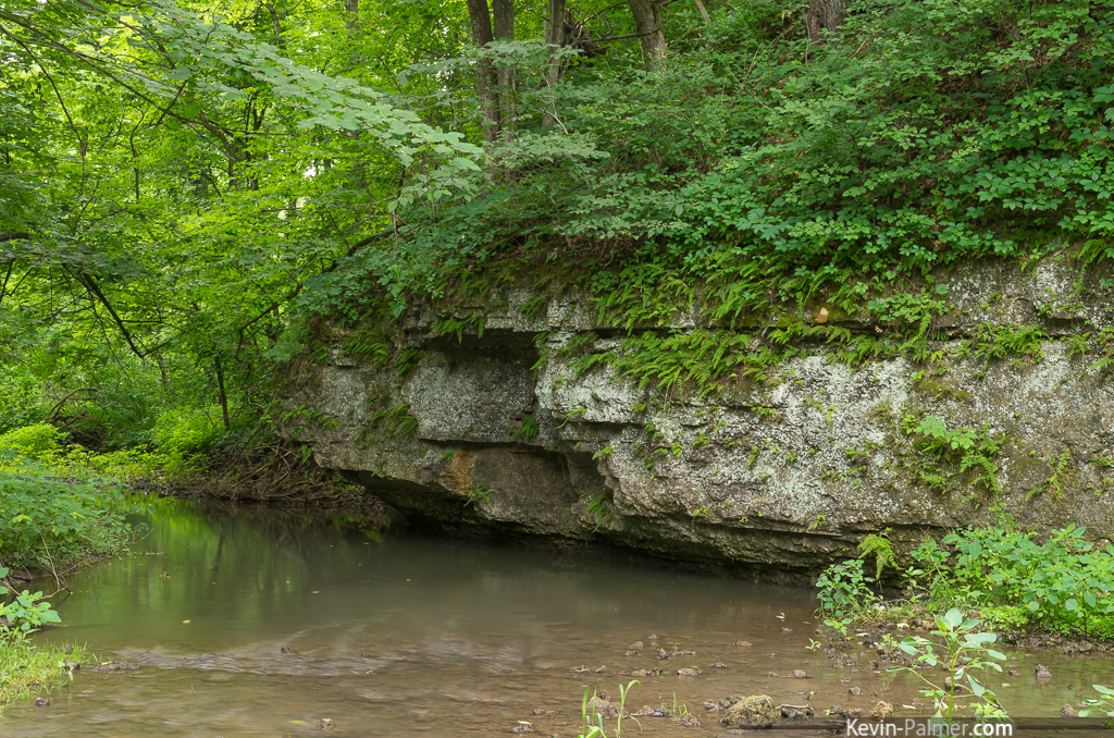
Under the Cliff
Gruber Remains

Ear of Corn
8 unit MCCHU
RRCC Trails
Northwestern Illinois Landscape (Baileyville, Illinois)

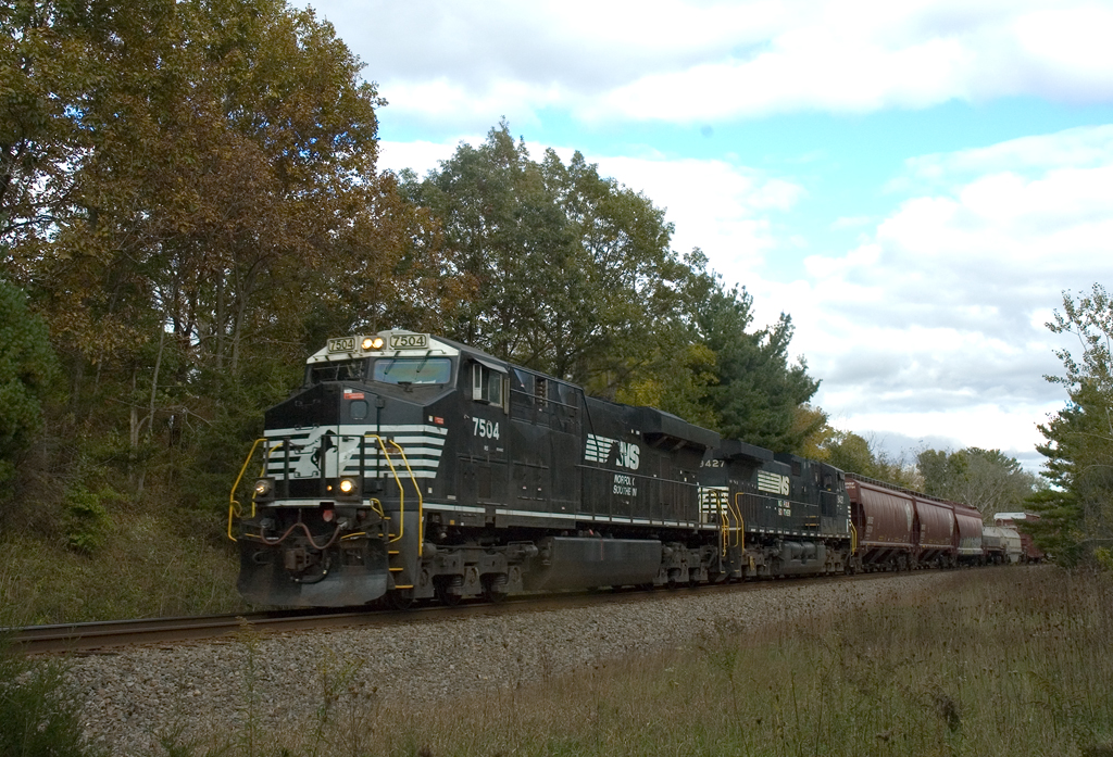
Santa Fe on the Aurora Sub

County Home
Pine Creek
P1040367-1
20140426 08 White Pines Forest State Park
P1040360-1

P1040386-1
Topographic Map of Main St, Polo, IL, USA
Find elevation by address:

Places near Main St, Polo, IL, USA:
Lincoln Township
Polo
S Lowell Park Rd, Polo, IL, USA
Mount Morris Township
N Main St, Leaf River, IL, USA
Adeline
Brookville Township
N McKendrie Ave, Mt Morris, IL, USA
Mount Morris
Forreston Township
Maryland Township
503 E Brayton Rd
Pine Creek Township
N Eldorado St, Polo, IL, USA
10316 N Mulberry Rd
Woosung Township
N Main St, Leaf River, IL, USA
Leaf River
Central St, Dixon, IL, USA
Grand Detour Township
Recent Searches:
- Elevation of Fern Rd, Whitmore, CA, USA
- Elevation of 62 Abbey St, Marshfield, MA, USA
- Elevation of Fernwood, Bradenton, FL, USA
- Elevation of Felindre, Swansea SA5 7LU, UK
- Elevation of Leyte Industrial Development Estate, Isabel, Leyte, Philippines
- Elevation of W Granada St, Tampa, FL, USA
- Elevation of Pykes Down, Ivybridge PL21 0BY, UK
- Elevation of Jalan Senandin, Lutong, Miri, Sarawak, Malaysia
- Elevation of Bilohirs'k
- Elevation of 30 Oak Lawn Dr, Barkhamsted, CT, USA