Elevation of Main St, Ocheyedan, IA, USA
Location: United States > Iowa > Osceola County > Ocheyedan > Ocheyedan >
Longitude: -95.534586
Latitude: 43.4158195
Elevation: 480m / 1575feet
Barometric Pressure: 96KPa
Elevation Map:
Satellite Map:
Related Photos:

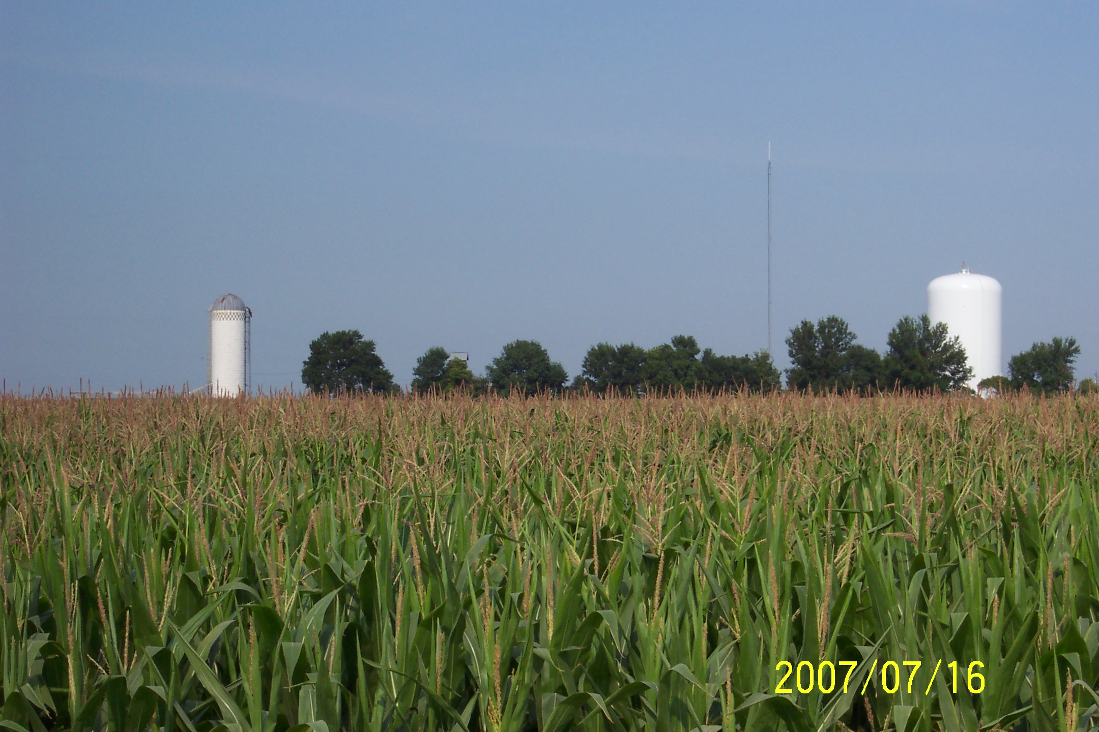
Iowa High Point View
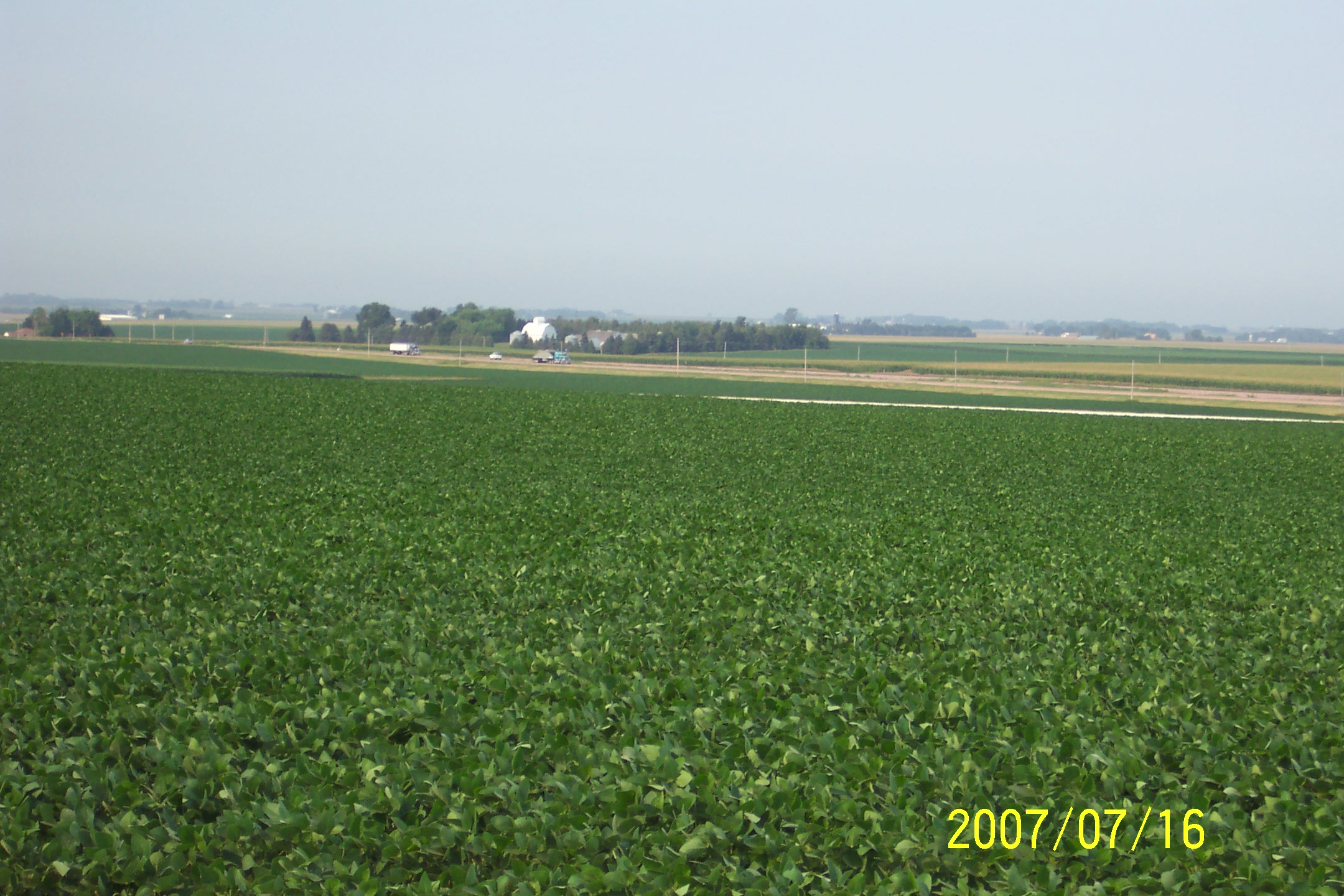
Hawkeye Point, Osceola County (Iowa), 16 July 2007

Okoboji Field

Okoboji Field
Hawkeye Point, Osceola County (Iowa), 16 July 2007

The Mailbox Shot
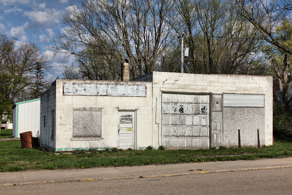
Gas Station - Ocheyedan, IA
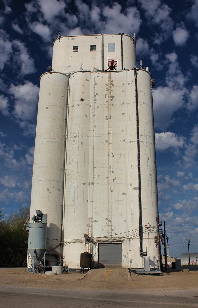
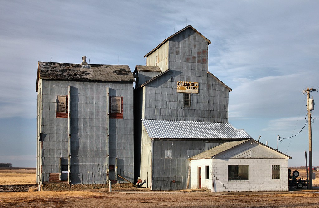
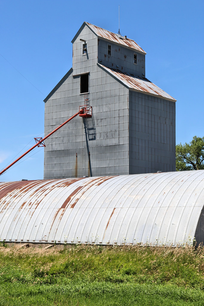
Grain Elevator - Ocheyedan, IA
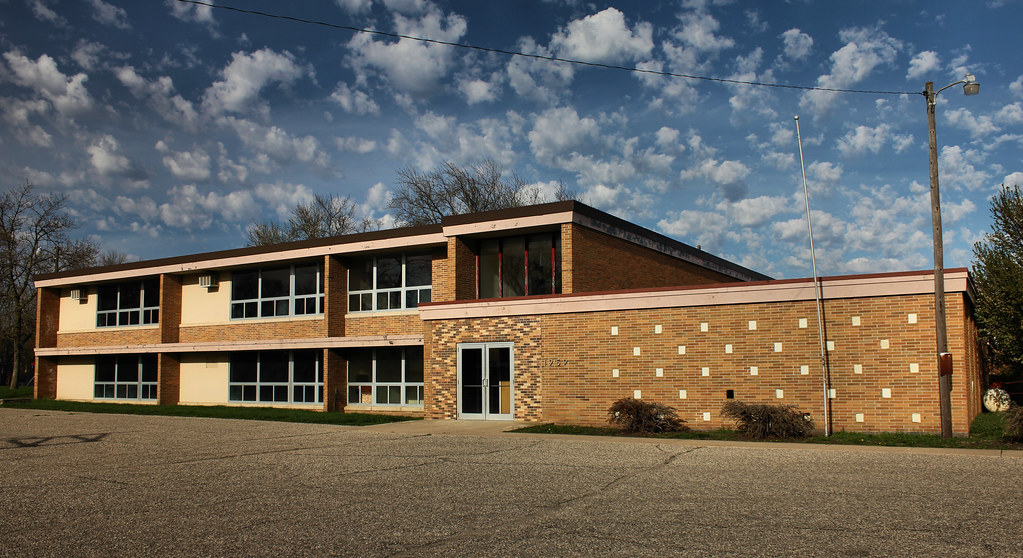
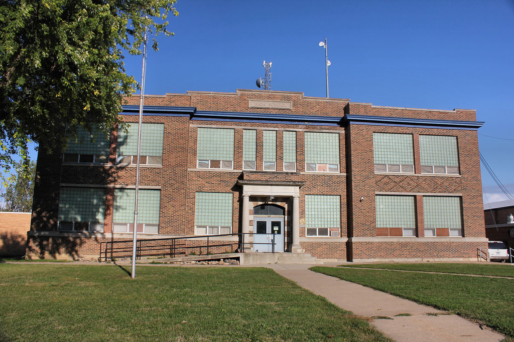
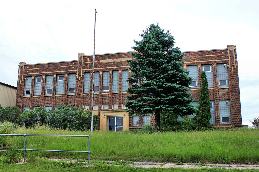
Public School - Ocheydan, IA
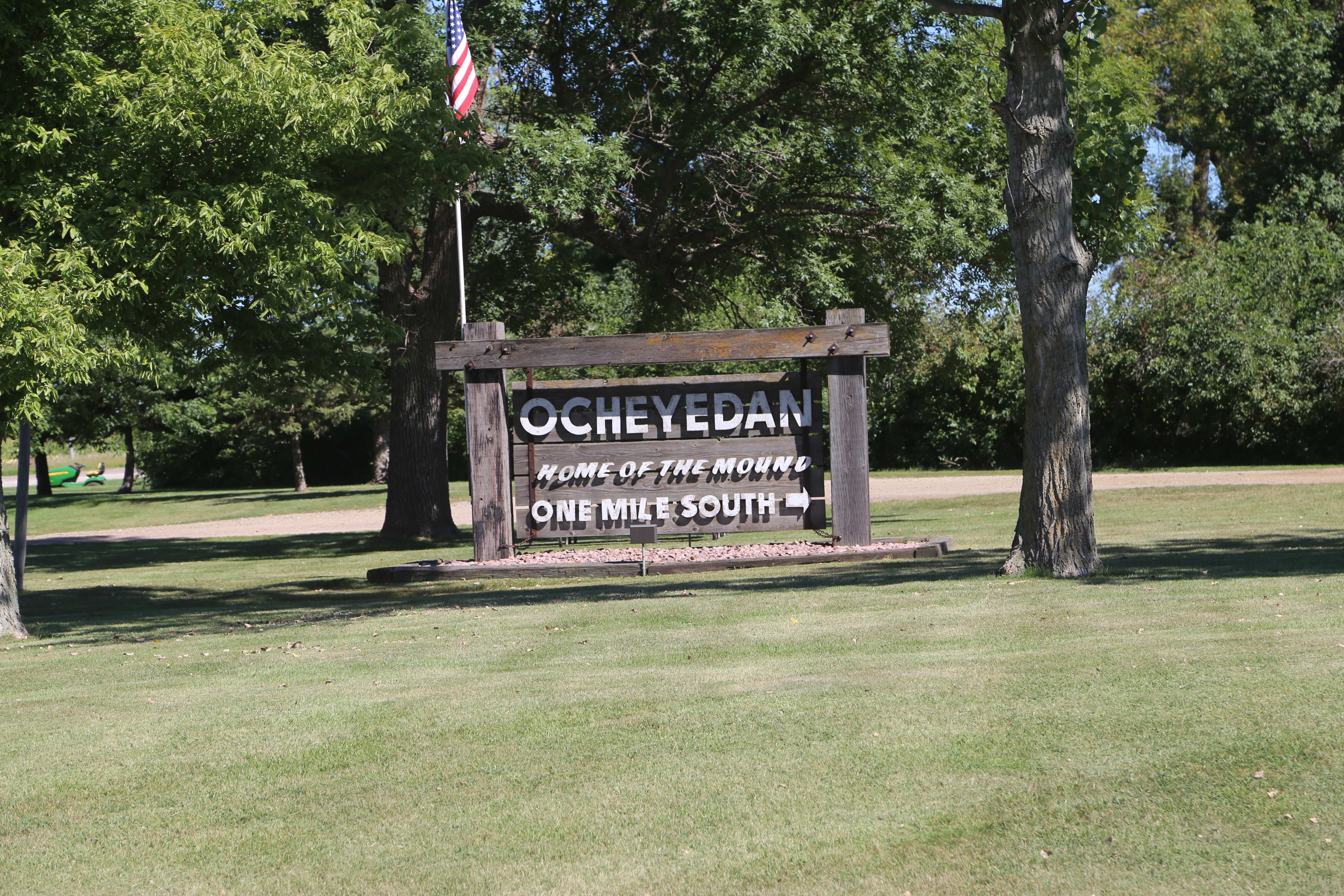
Ocheyedan Iowa, Osceola County IA
Grain Elevator - Cloverdale, IA

Tequila Sunrise
Public School - Round Lake, MN
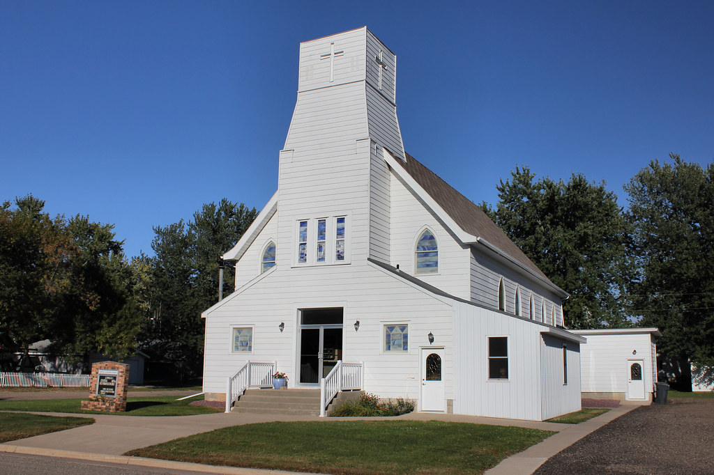
Bethel Lutheran Church - Round Lake, MN
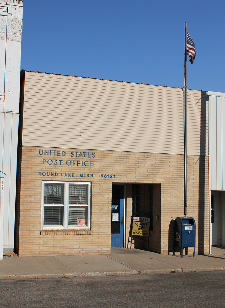
Post Office - Round Lake, MN
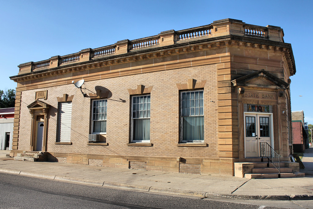
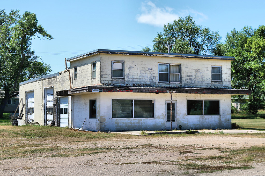
The State Bank of Round Lake Building - Round Lake, MN
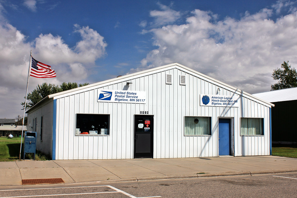
Post Office & American Legion Post 496 - Bigelow, MN
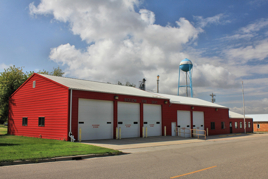
Fire Station - Bigelow, MN

Grain Elevator - Ocheyedan, IA
Grain Elevator - Allendorf, IA
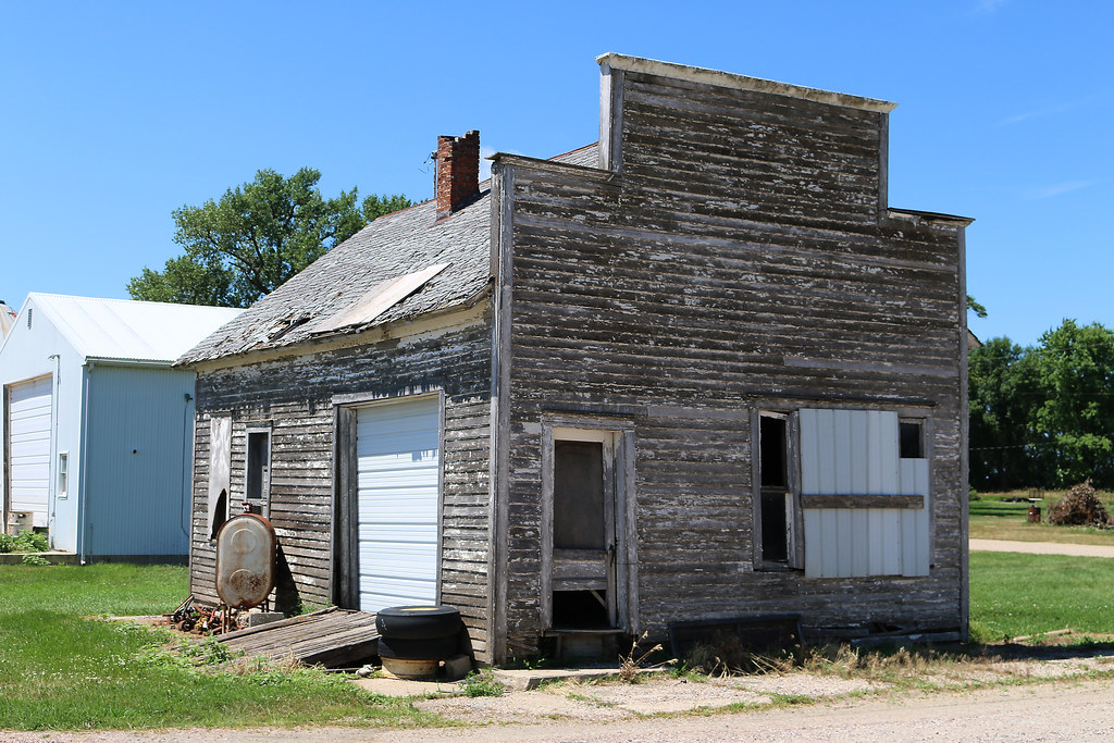
Storefront - Allendorf, IA
Gas Station - Allendorf, IA

Dropped by the highest elevation point of Iowa today. It was windy and hot. #latergram

Bigelow Community Church - Bigelow, MN
Bigelow School - Bigelow, MN
Topographic Map of Main St, Ocheyedan, IA, USA
Find elevation by address:

Places near Main St, Ocheyedan, IA, USA:
Ocheyedan
Ocheyedan
Osceola County
Baker
Melvin
Main St, Melvin, IA, USA
Lakefield, MN, USA
Everly
N Main St, Everly, IA, USA
Lakeville
Diamond Lake
Montgomery
rd Ave, Spirit Lake, IA, USA
Okoboji
Dickinson County
th St, Spirit Lake, IA, USA
Lakeshore Dr, Milford, IA, USA
Wahpeton
Lone Tree
1212 Inwan St
Recent Searches:
- Elevation of Gateway Blvd SE, Canton, OH, USA
- Elevation of East W.T. Harris Boulevard, E W.T. Harris Blvd, Charlotte, NC, USA
- Elevation of West Sugar Creek, Charlotte, NC, USA
- Elevation of Wayland, NY, USA
- Elevation of Steadfast Ct, Daphne, AL, USA
- Elevation of Lagasgasan, X+CQH, Tiaong, Quezon, Philippines
- Elevation of Rojo Ct, Atascadero, CA, USA
- Elevation of Flagstaff Drive, Flagstaff Dr, North Carolina, USA
- Elevation of Avery Ln, Lakeland, FL, USA
- Elevation of Woolwine, VA, USA