Elevation of Main St, Hamburg, IA, USA
Location: United States > Iowa > Fremont County > Hamburg >
Longitude: -95.657647
Latitude: 40.6044168
Elevation: 280m / 919feet
Barometric Pressure: 98KPa
Elevation Map:
Satellite Map:
Related Photos:

Shared weigh station
Watson Baptist Church - Watson, MO
Fields in Iowa

BNSF 9193 (rear view)
Fall Panorama
Scenic Lookout
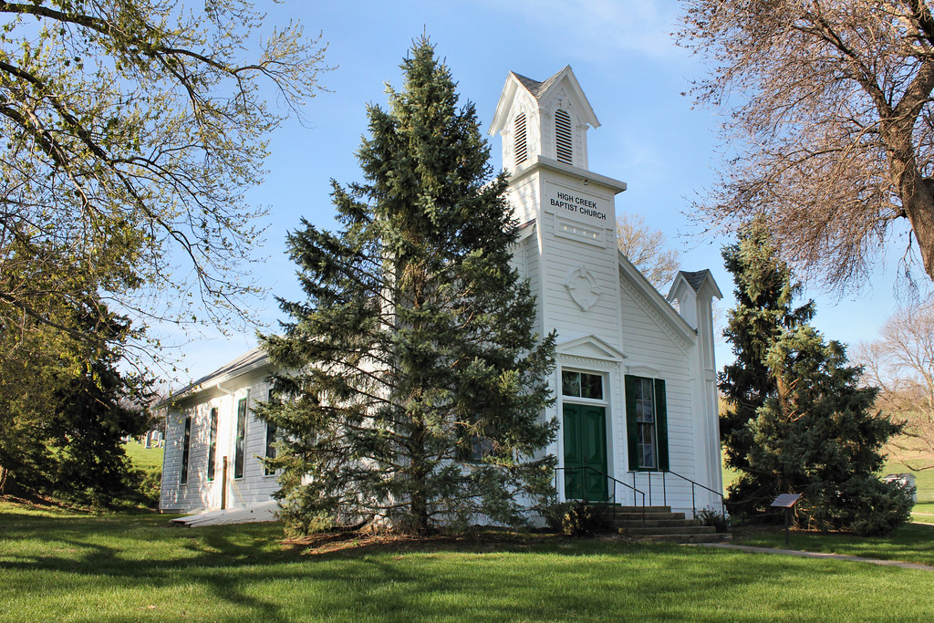
High Creek Baptist Church - rural Watson, MO

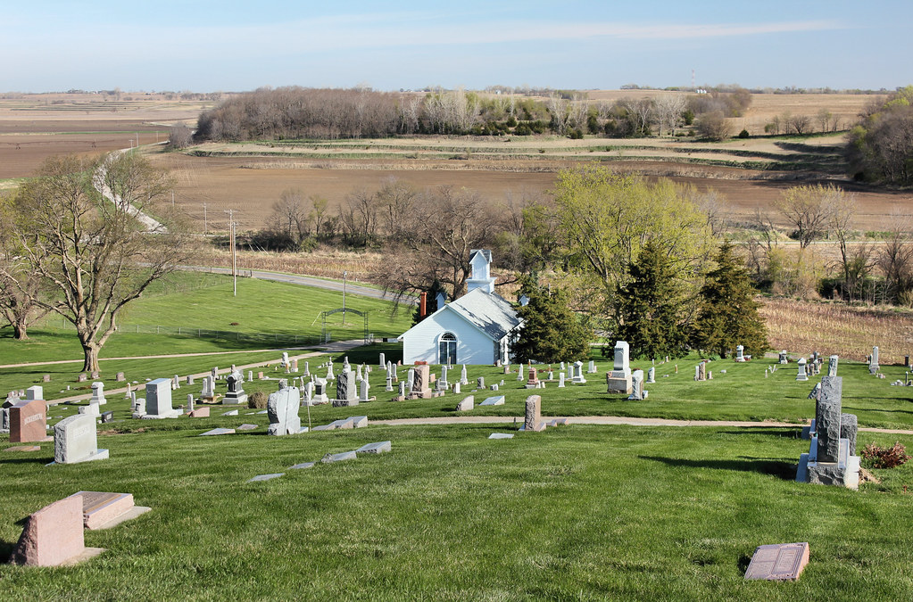
High Creek Cemetery - rural Watson, MO
High Creek Baptist Church - rural Watson, MO
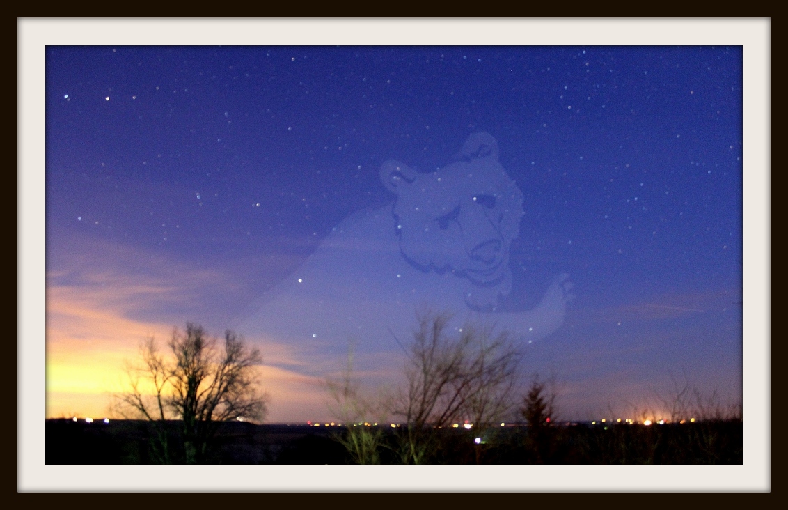
Big Bear Rising

Star School Hill Prairie

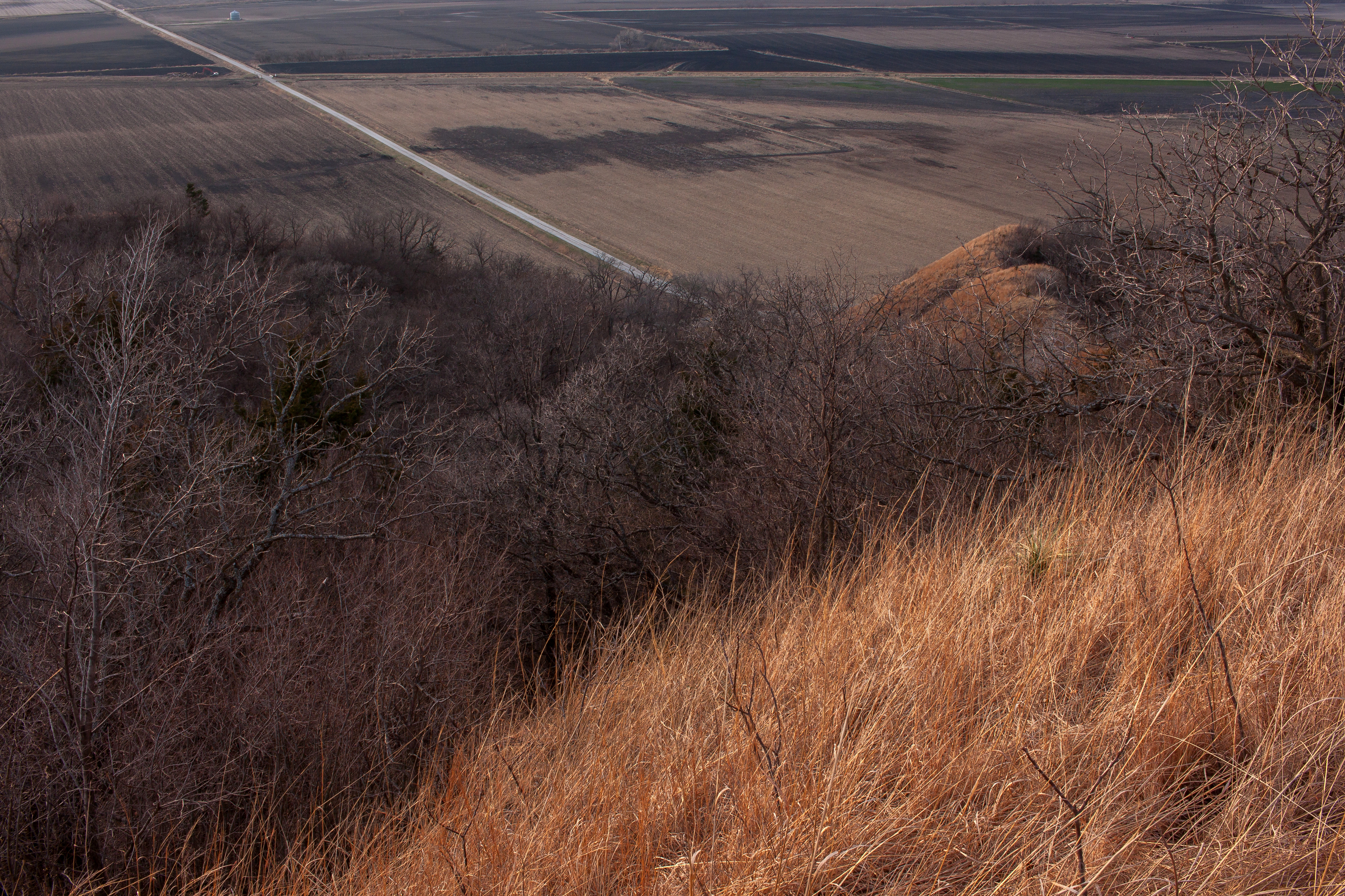
Waubonsie Overlook, NW

Border Color

Missouri River flood damage near Hamburg, Ia.

Orange Sulphurs (Colias eurytheme)

Atomic looking cloud.2008

Agriculture-Desert Trail
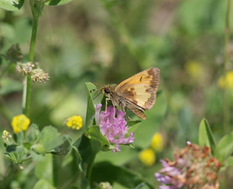
Hobomok Skipper (Poanes hobomok)
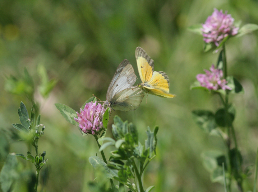
Orange Sulphurs (Colias eurytheme)

Sachem (Atalopedes campestris huron)

Hobomok Skipper (Poanes hobomok)
Loess Hills
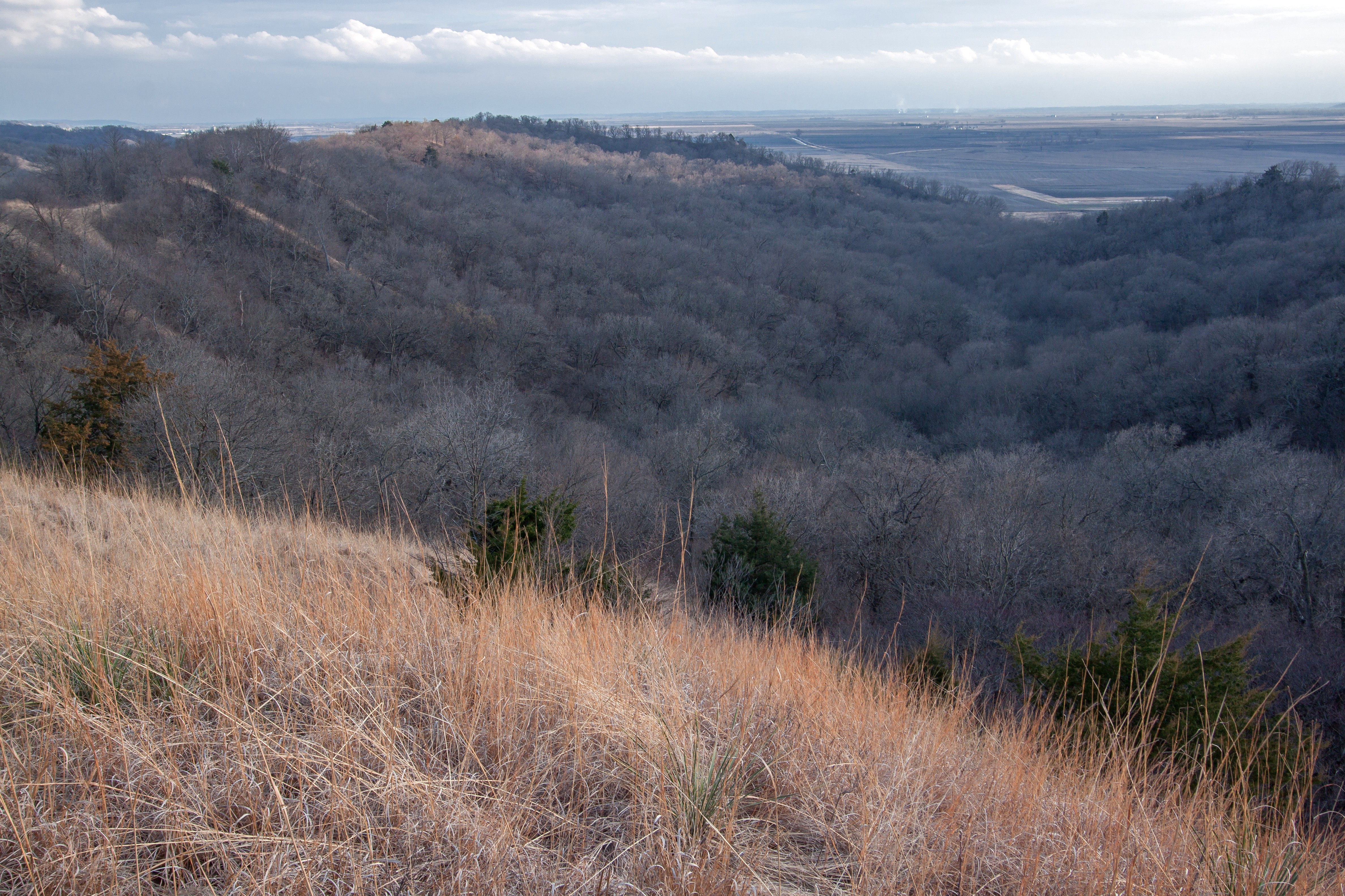
Loess Hills
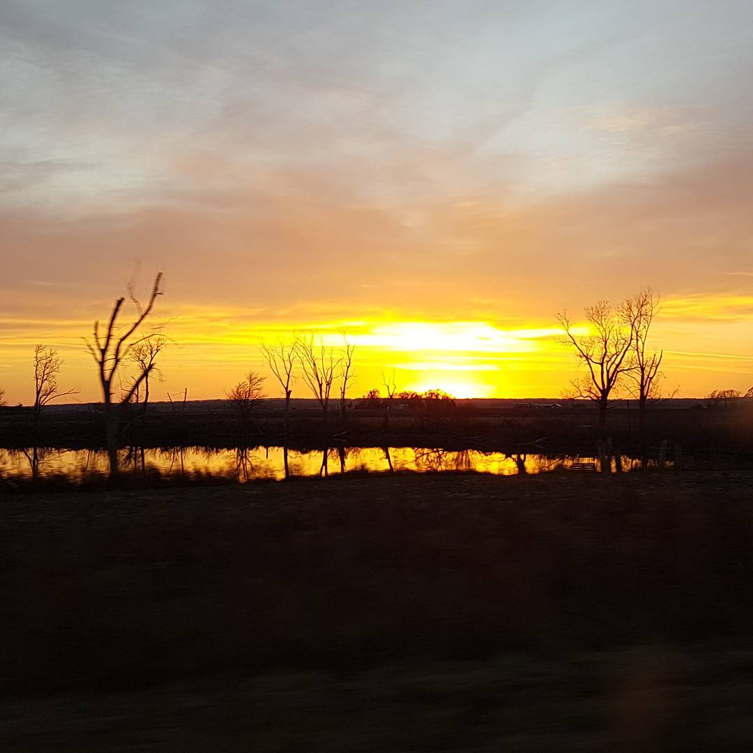
Headed back to North Carolina tonight and this sunset in Missouri was stunning. Just happened to get the pond with it. I just love seeing new places while traveling ♡ #missouri #sunsets #sunsetsky #beautiful #travelingtheusa #lookyluphotography #beaut
Waubonsie State Park
Waubonsie State Park
#moriver #missouririver #nebraska #peru #boatramp
Topographic Map of Main St, Hamburg, IA, USA
Find elevation by address:

Places near Main St, Hamburg, IA, USA:
Hamburg
1105 Main St
1103 Main St
1020 Main St
Medical Clinic
308 F St
908 Main St
1309 Argyle St
101 C St
101 C St
1104 Willow St
300 Park St
Agrivision Equipment
2301 Washington St
3179 Main St
309 S St
104 Fox Cir
2959 Us-275
2762 Co Rd J64
Washington
Recent Searches:
- Elevation of Hercules Dr, Colorado Springs, CO, USA
- Elevation of Szlak pieszy czarny, Poland
- Elevation of Griffing Blvd, Biscayne Park, FL, USA
- Elevation of Kreuzburger Weg 13, Düsseldorf, Germany
- Elevation of Gateway Blvd SE, Canton, OH, USA
- Elevation of East W.T. Harris Boulevard, E W.T. Harris Blvd, Charlotte, NC, USA
- Elevation of West Sugar Creek, Charlotte, NC, USA
- Elevation of Wayland, NY, USA
- Elevation of Steadfast Ct, Daphne, AL, USA
- Elevation of Lagasgasan, X+CQH, Tiaong, Quezon, Philippines