Elevation of Main St, Columbus Junction, IA, USA
Location: United States > Iowa > Louisa County > Columbus City > Columbus Junction >
Longitude: -91.360388
Latitude: 41.2799347
Elevation: 184m / 604feet
Barometric Pressure: 99KPa
Elevation Map:
Satellite Map:
Related Photos:

Mute Swans

View from Bridge

View from Swinging Bridge
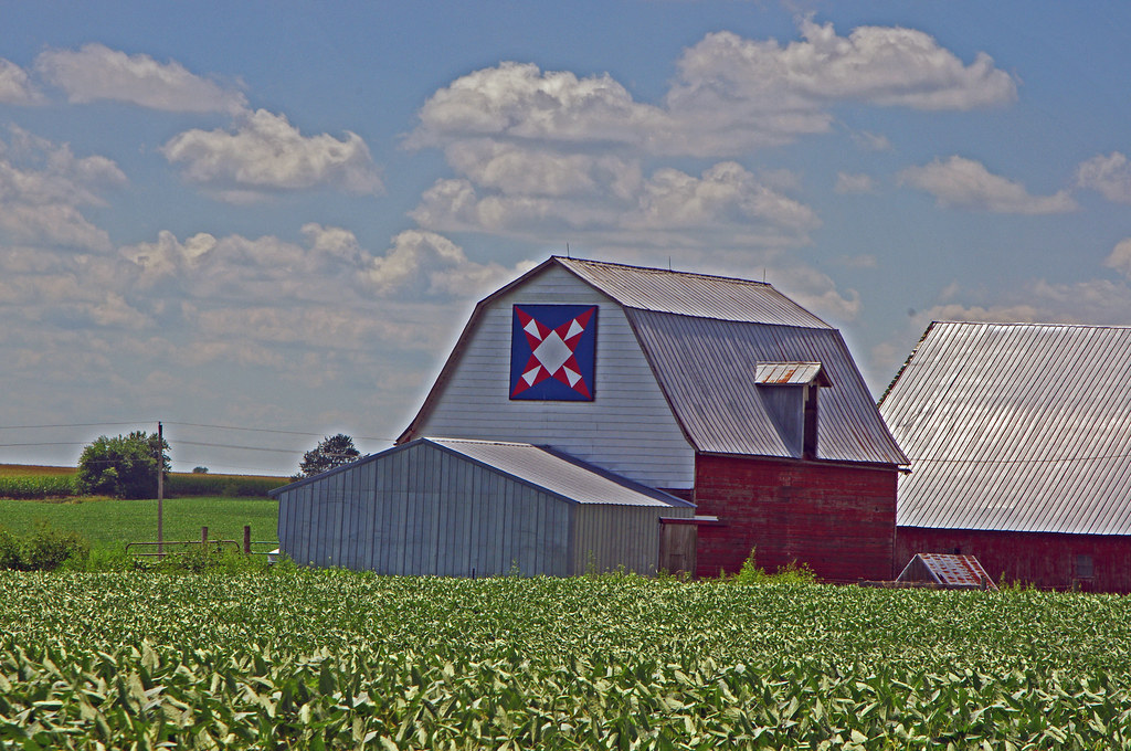
Quilt Barn & Corn, Crawfordsville, Iowa

DM E 6200 Eastbound
i call you barney
Driving to Iowa City, IA
Driving to Iowa City, IA

Swinging Bridge
Topographic Map of Main St, Columbus Junction, IA, USA
Find elevation by address:

Places near Main St, Columbus Junction, IA, USA:
Columbus Junction
Columbus St, Columbus City, IA, USA
Columbus City
Columbus City
18262 Ia-70
90th St, Morning Sun, IA, USA
Conesville
3rd St, Conesville, IA, USA
Orono
Oakland
Louisa County
Marshall
N Cherry St, Letts, IA, USA
Letts
Cranston
Grandview
th St, Wapello, IA, USA
Morning Sun
Wapello
Wapello
Recent Searches:
- Elevation of Corso Fratelli Cairoli, 35, Macerata MC, Italy
- Elevation of Tallevast Rd, Sarasota, FL, USA
- Elevation of 4th St E, Sonoma, CA, USA
- Elevation of Black Hollow Rd, Pennsdale, PA, USA
- Elevation of Oakland Ave, Williamsport, PA, USA
- Elevation of Pedrógão Grande, Portugal
- Elevation of Klee Dr, Martinsburg, WV, USA
- Elevation of Via Roma, Pieranica CR, Italy
- Elevation of Tavkvetili Mountain, Georgia
- Elevation of Hartfords Bluff Cir, Mt Pleasant, SC, USA