Elevation of Main St, Columbia, CA, USA
Location: United States > California > Tuolumne County >
Longitude: -120.4006735
Latitude: 38.0363461
Elevation: 653m / 2142feet
Barometric Pressure: 0KPa
Related Photos:
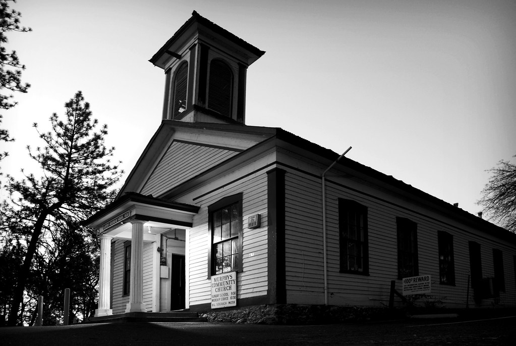
murphys grammar school

The aroma is definitely in the air

Dreaming of Spring.

Stalagtites in the open-air entrance to the Natural Bridge at Calaveras County, CA - natural16
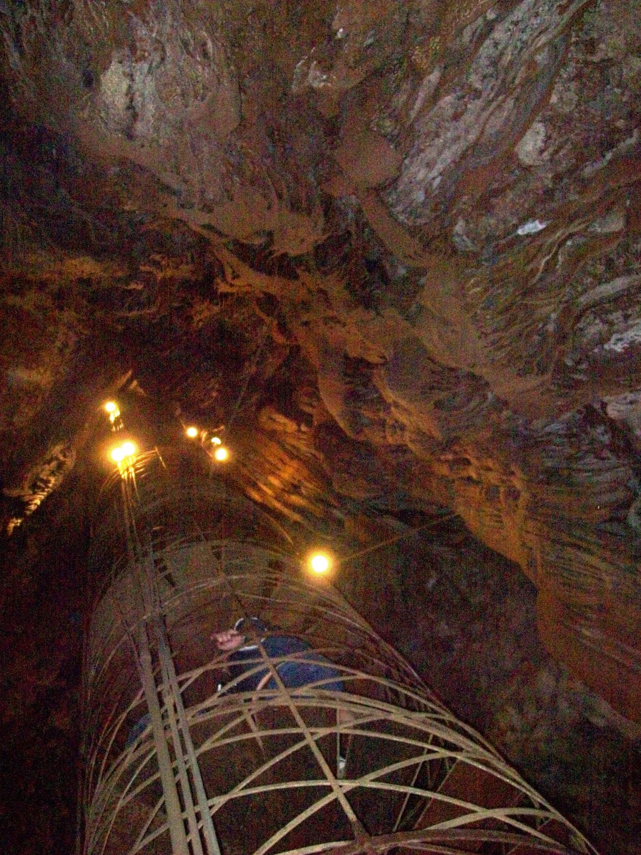
View up the spiral staircase leading to the bottom of Moaning Cavern, CA - moaning16

Utica Wheel

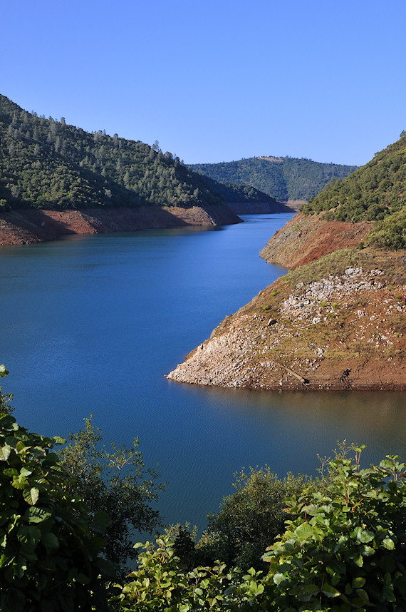
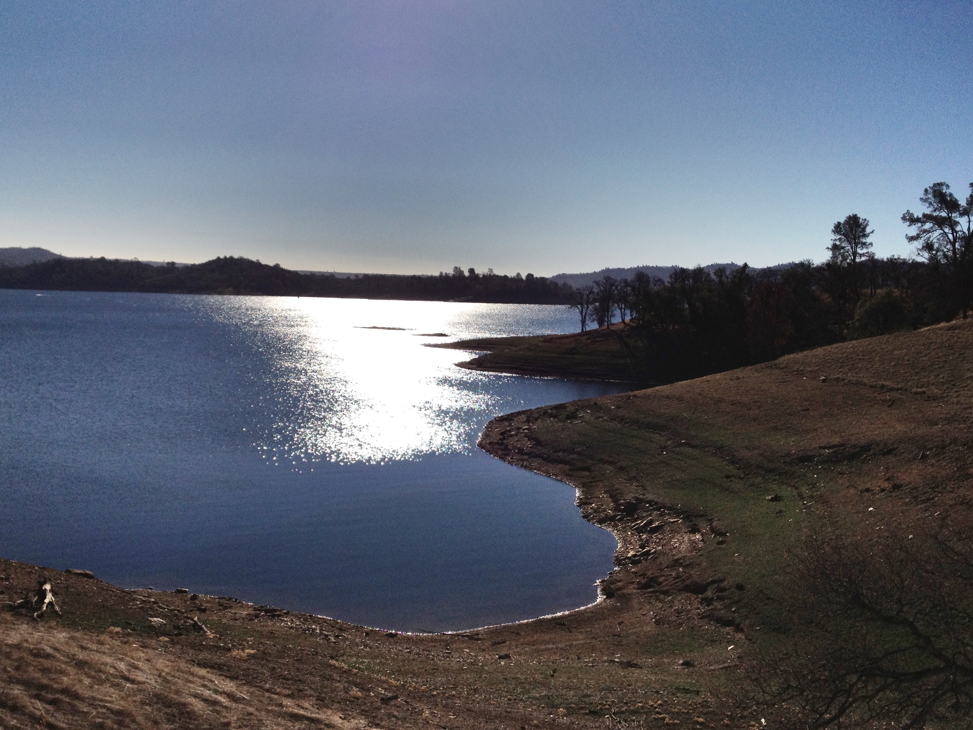
Lake Views

Lake Views
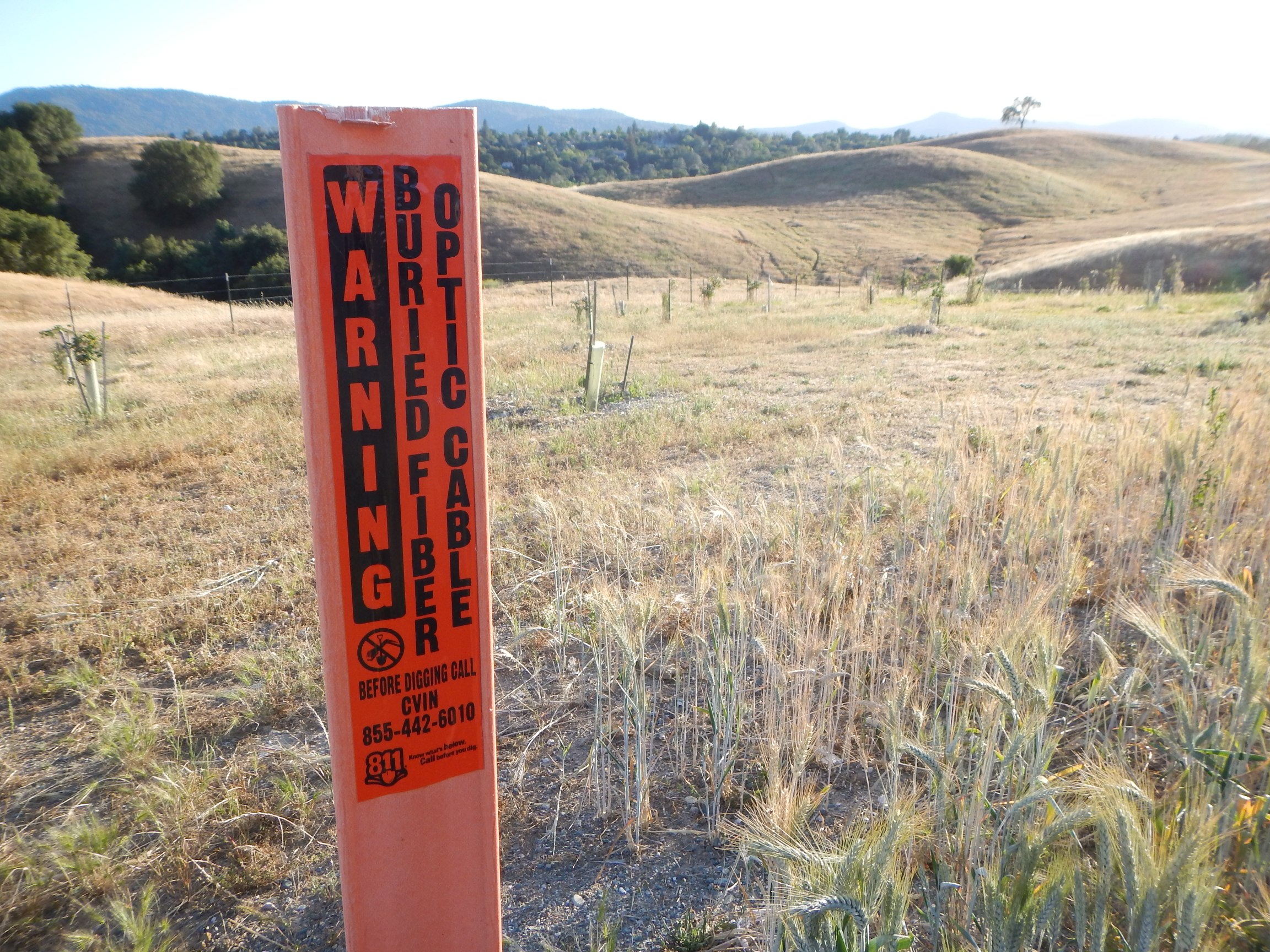
CVIN marker
CVIN - Hwy 4 & Murphys Grade Rd

Progress Forgotten

A sunset in February

A sunset in February

Bontrager Livestrong race preparation

Best When Unexpected
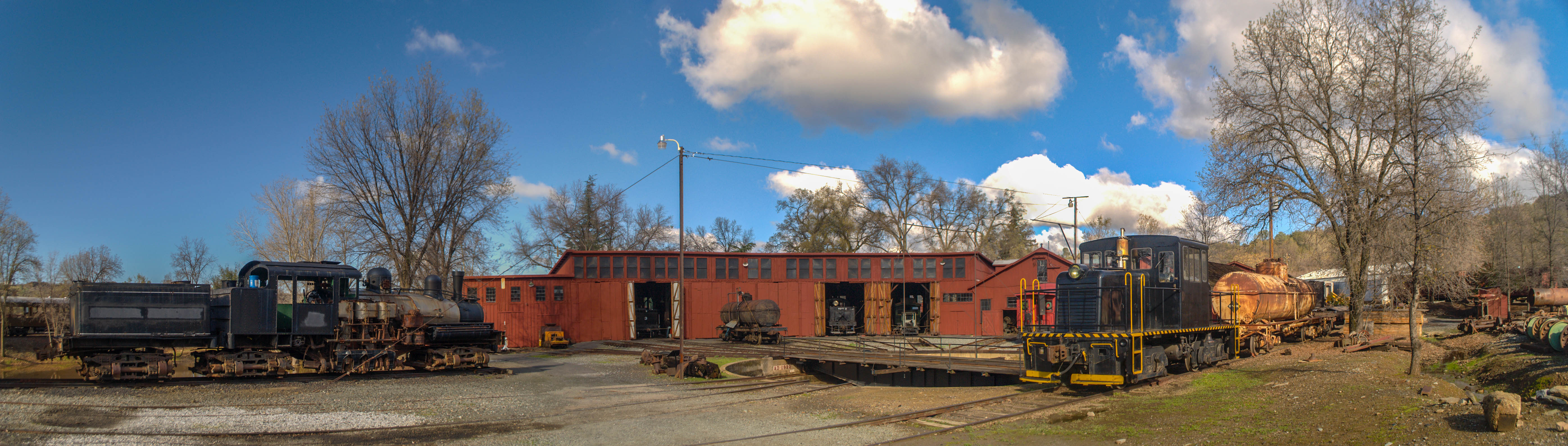
Sierra Railway Roundhouse (Panorama)

A Room with a view.

RV in Jamestowm
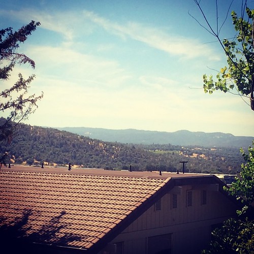
Office View
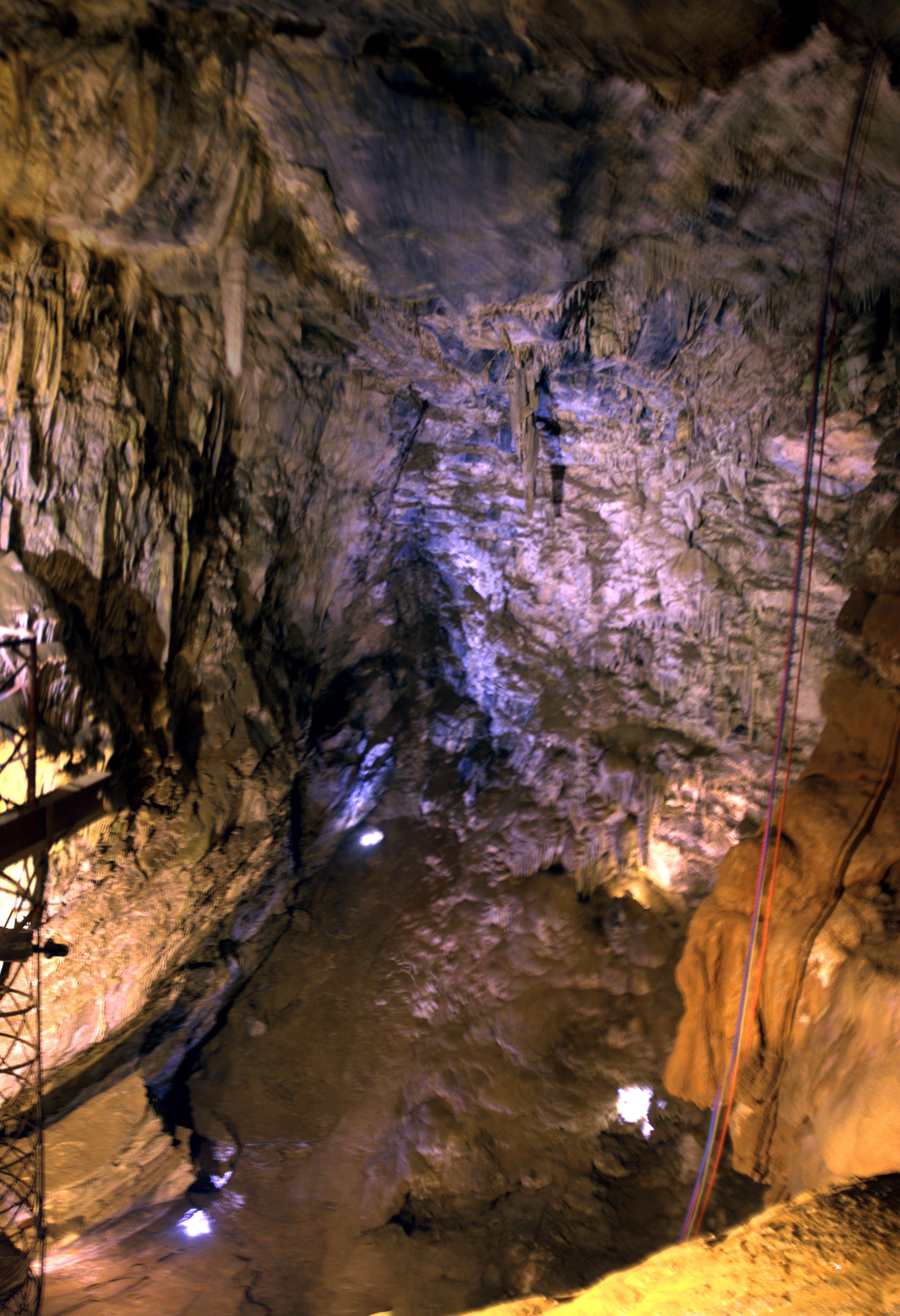
Moaning Cave Main Chamber 1
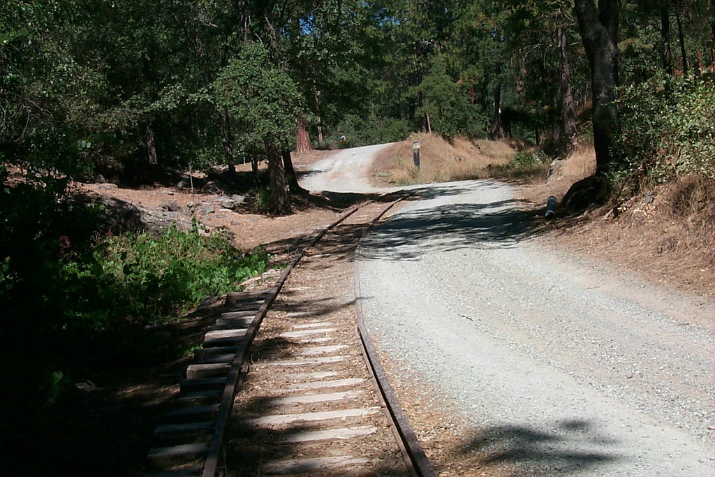
View along the trackbed
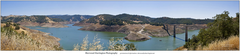
New Melones Near the Parrots Ferry Bridge

And Then Came The Wind - Highway 49 Bridge Across New Melones Reservoir - Sierra Nevada Mountains, California

Thank You Julie (Julev69) Explored
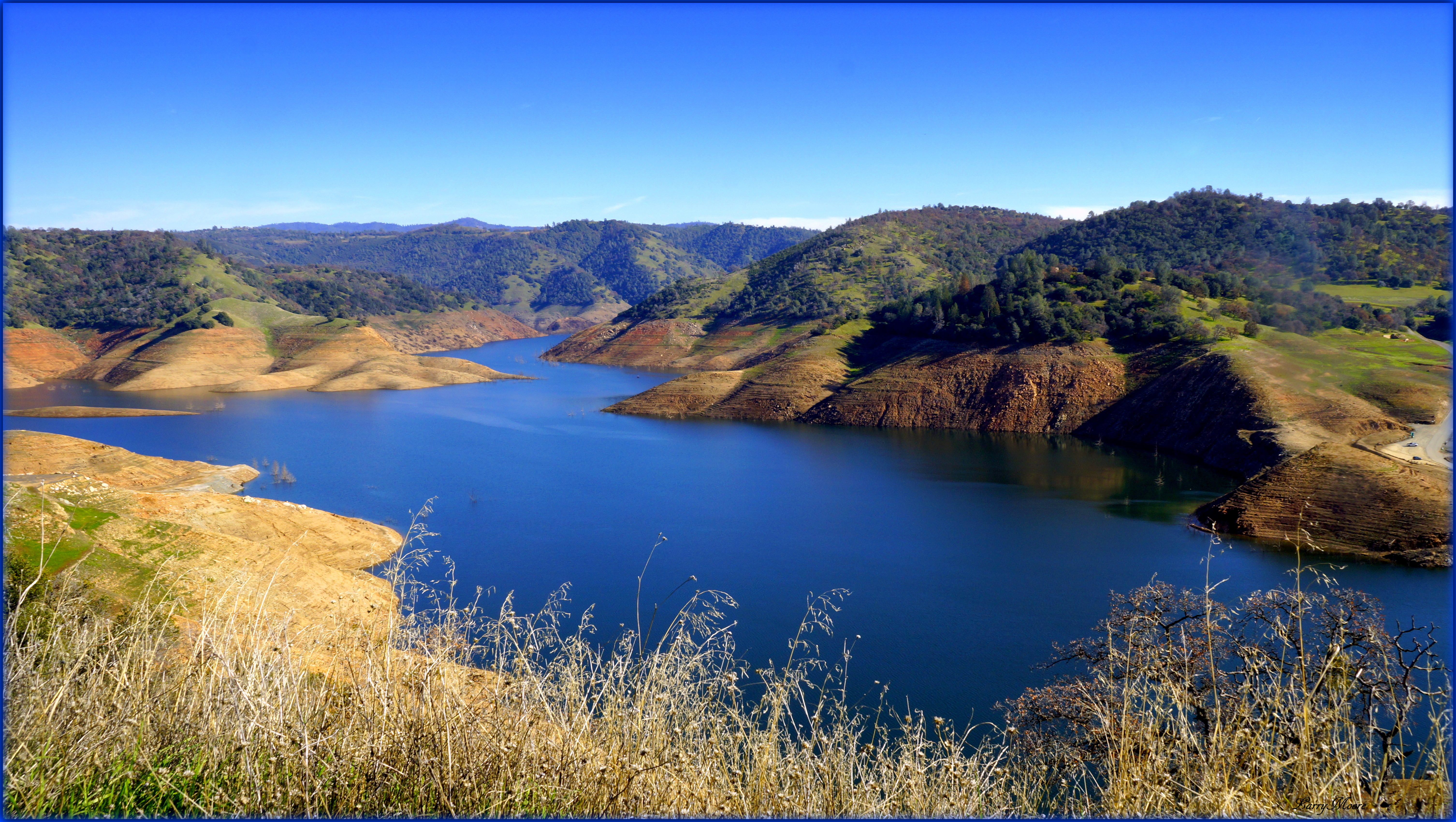
Upper New Melones Lake at Very Low Water
California Retreet

HPIM0164.jpg

#yosemite #roadtrip #usa
HDR paints the world in surreal.
leaving angels camp
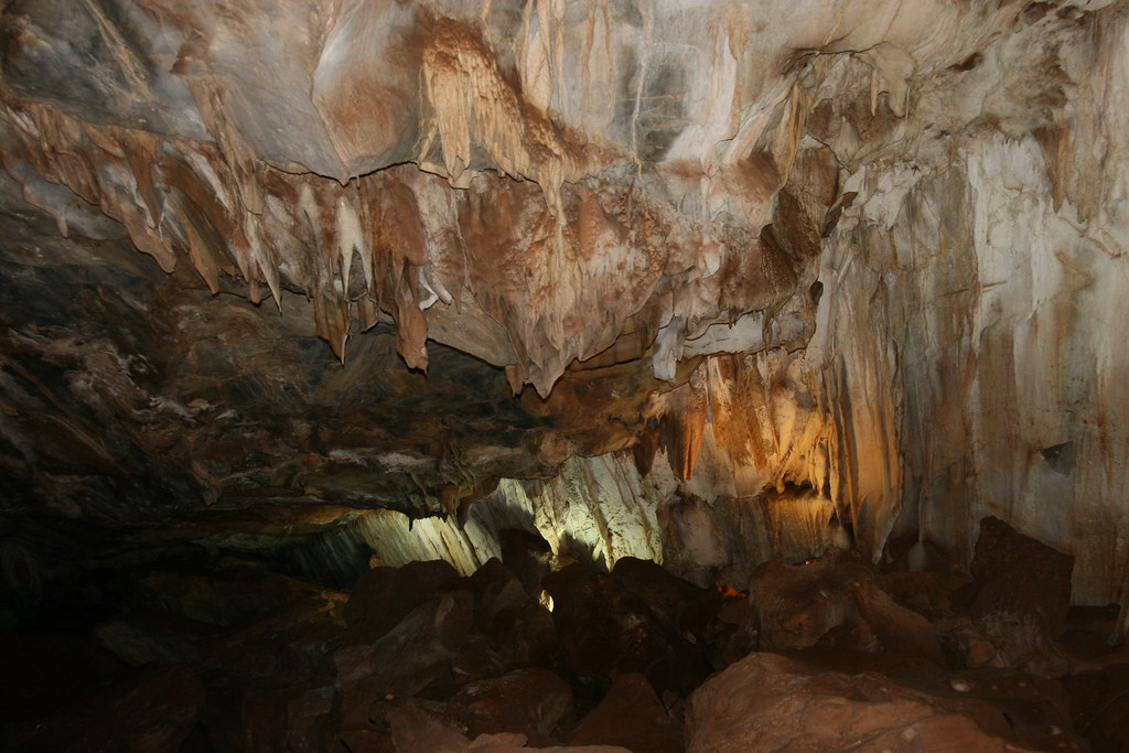
Mercer Caverns

It's Spring in #Twisted country! #wine #winenot
2012-01-16 10.26.14

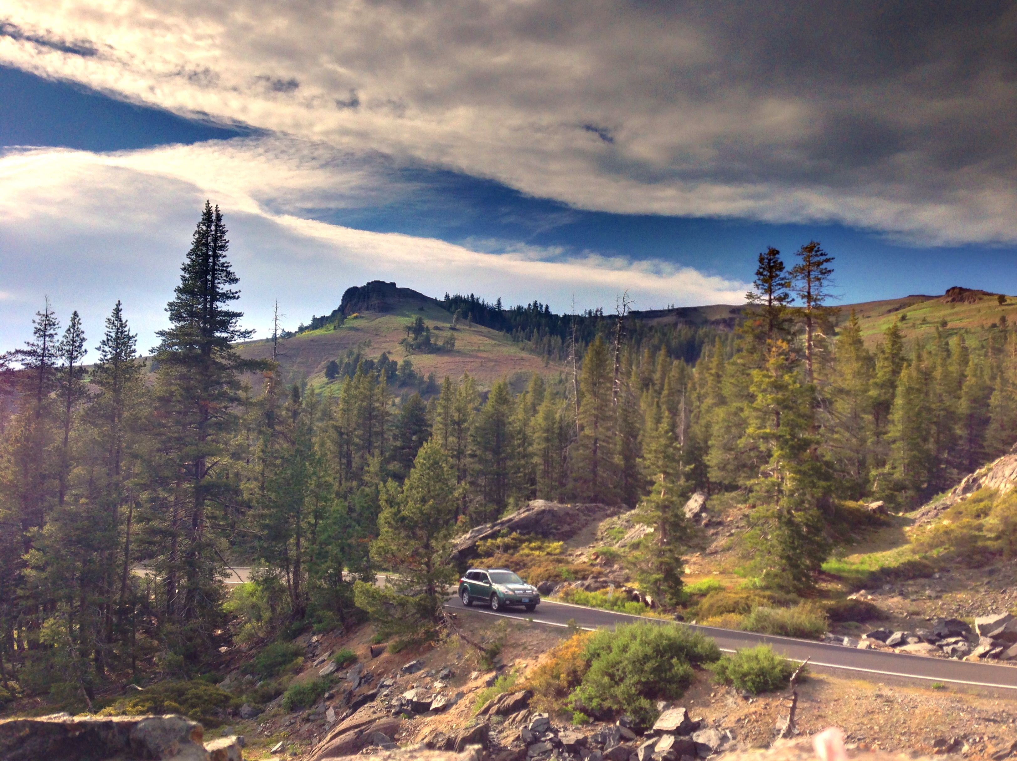
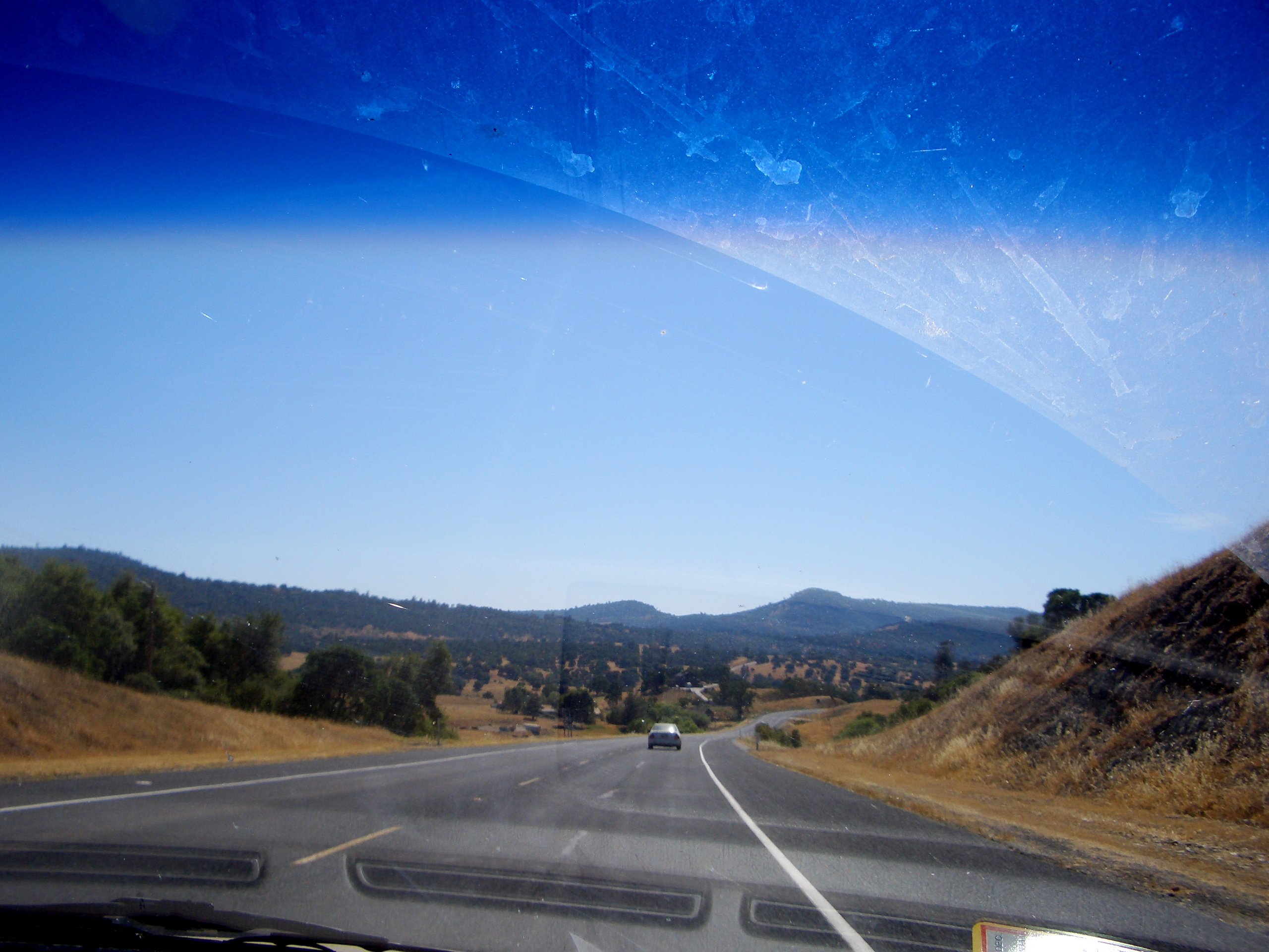
California highway

A Rainbow for you.

Sunset from Marilyn's
Topographic Map of Main St, Columbia, CA, USA
Find elevation by address:

Places near Main St, Columbia, CA, USA:
Columbia
Columbia State Park (park Hq)
23008 Columbia Vista Dr
49er Rv Ranch
23223 Italian Bar Rd
23223 Italian Bar Rd
22224 Haughton Cir
Italian Bar Road
Parrotts Ferry Rd, Sonora, CA, USA
Columbia College
23685 Marble Quarry Rd
Springfield Rd, Sonora, CA, USA
22235 Sawmill Flat Rd
Squabble Town Rd, Sonora, CA, USA
24060 Experimental Mine Rd
12000 Cattle Drive Trail
12471 Yankee Hill Rd
Mt Brow Rd, Sonora, CA, USA
10986 Mt Brow Rd
22840 4 Wheel Dr
Recent Searches:
- Elevation map of Greenland, Greenland
- Elevation of Sullivan Hill, New York, New York, 10002, USA
- Elevation of Morehead Road, Withrow Downs, Charlotte, Mecklenburg County, North Carolina, 28262, USA
- Elevation of 2800, Morehead Road, Withrow Downs, Charlotte, Mecklenburg County, North Carolina, 28262, USA
- Elevation of Yangbi Yi Autonomous County, Yunnan, China
- Elevation of Pingpo, Yangbi Yi Autonomous County, Yunnan, China
- Elevation of Mount Malong, Pingpo, Yangbi Yi Autonomous County, Yunnan, China
- Elevation map of Yongping County, Yunnan, China
- Elevation of North 8th Street, Palatka, Putnam County, Florida, 32177, USA
- Elevation of 107, Big Apple Road, East Palatka, Putnam County, Florida, 32131, USA
- Elevation of Jiezi, Chongzhou City, Sichuan, China
- Elevation of Chongzhou City, Sichuan, China
- Elevation of Huaiyuan, Chongzhou City, Sichuan, China
- Elevation of Qingxia, Chengdu, Sichuan, China
- Elevation of Corso Fratelli Cairoli, 35, Macerata MC, Italy
- Elevation of Tallevast Rd, Sarasota, FL, USA
- Elevation of 4th St E, Sonoma, CA, USA
- Elevation of Black Hollow Rd, Pennsdale, PA, USA
- Elevation of Oakland Ave, Williamsport, PA, USA
- Elevation of Pedrógão Grande, Portugal