Elevation of Main St, Caledonia, OH, USA
Location: United States > Ohio > Marion County >
Longitude: -82.910169
Latitude: 40.668776
Elevation: 316m / 1037feet
Barometric Pressure: 98KPa
Elevation Map:
Satellite Map:
Related Photos:

Working it out

Side View

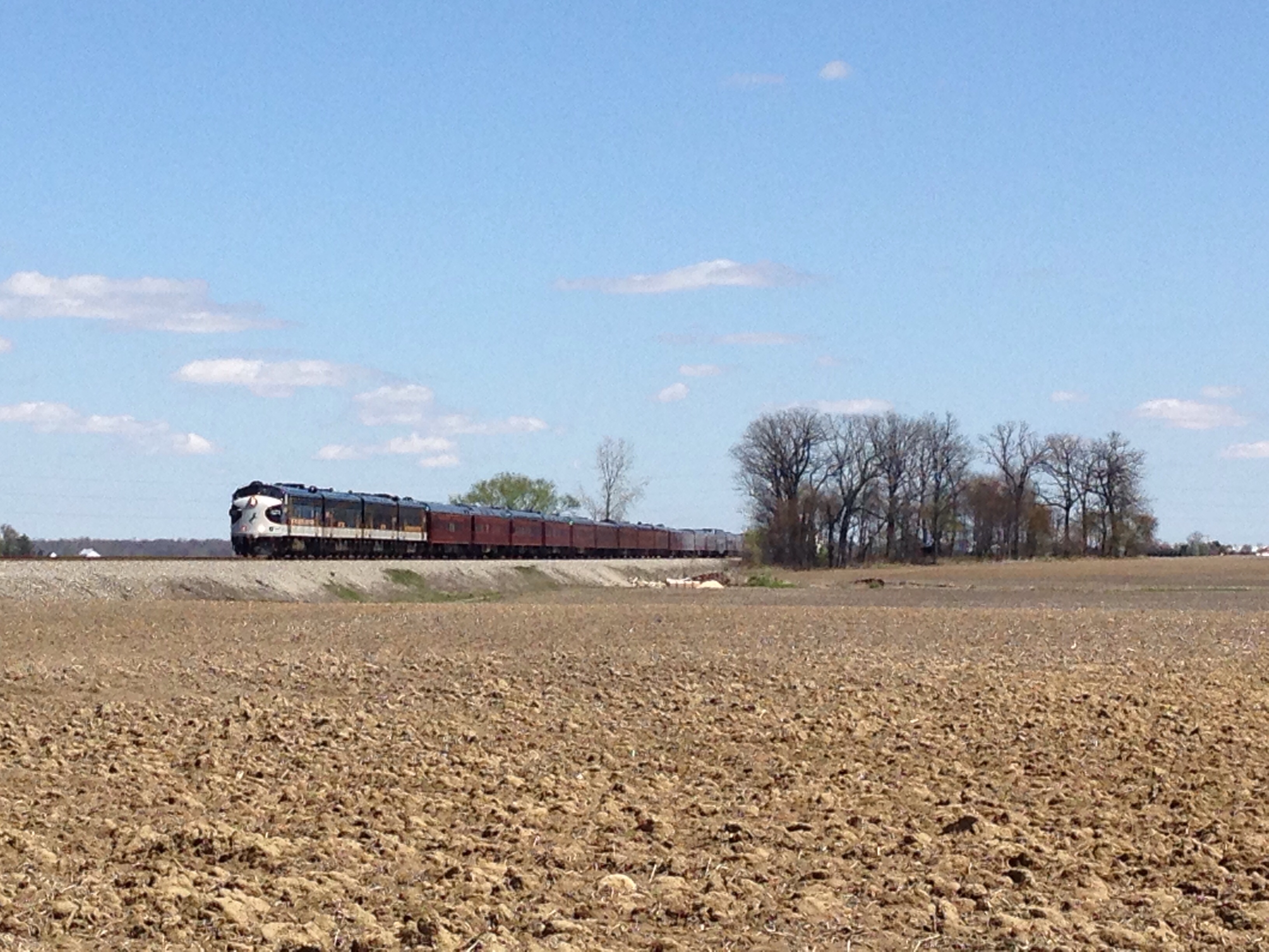
Morning Grain Train

Norfolk Southern Sunset Pace
NS OCS

Hill School

Interstate Heritage Unit Crosses a Creek

US Army Locomotives on Norfolk Southern 17M

MPB 35-59-03, Morrow County, Ohio

Mt. Gilead State Park

June 5 36

26N at Monnett

Ohio Bocce
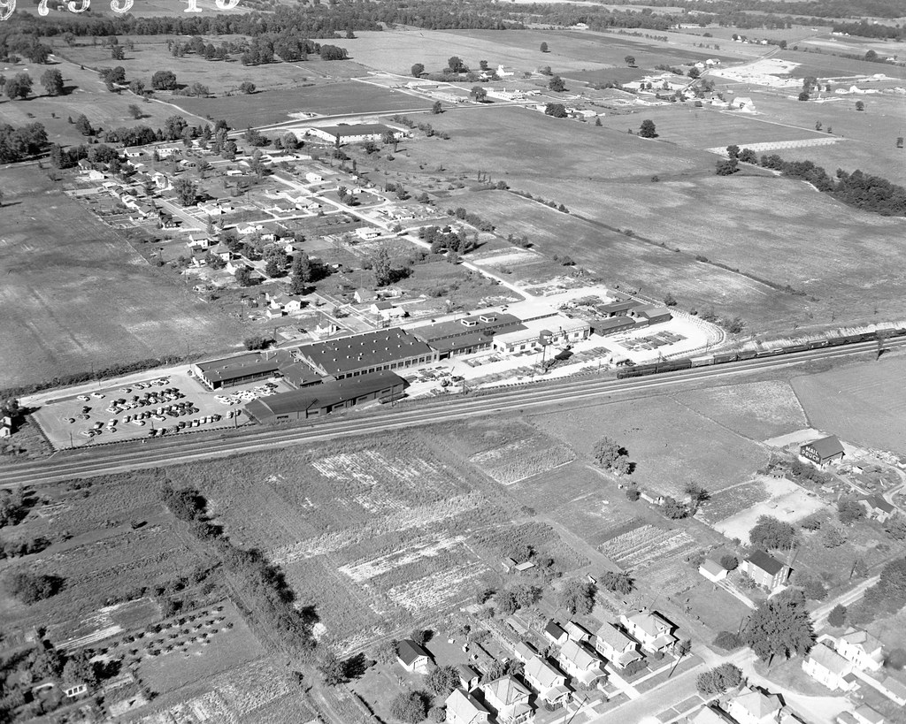
1955 09 07 - 15 - Bucyrus, Ohio - Shunk Mfg Co
Topographic Map of Main St, Caledonia, OH, USA
Find elevation by address:

Places near Main St, Caledonia, OH, USA:
New Winchester Center Rd, Bucyrus, OH, USA
OH-, Galion, OH, USA
Iberia
8315 Co Rd 30
Washington Township
Co Rd 51, Galion, OH, USA
Whetstone Township
Whetstone Township
Whetstone Township
Whetstone Township
Whetstone Township
Whetstone Township
Whetstone Township
Whetstone Township
Whetstone Township
4226 Co Rd 29
4465 Oh-288
4475 Oh-288
531 Crew Ave
Galion
Recent Searches:
- Elevation of Shibuya Scramble Crossing, 21 Udagawacho, Shibuya City, Tokyo -, Japan
- Elevation of Jadagoniai, Kaunas District Municipality, Lithuania
- Elevation of Pagonija rock, Kranto 7-oji g. 8"N, Kaunas, Lithuania
- Elevation of Co Rd 87, Jamestown, CO, USA
- Elevation of Tenjo, Cundinamarca, Colombia
- Elevation of Côte-des-Neiges, Montreal, QC H4A 3J6, Canada
- Elevation of Bobcat Dr, Helena, MT, USA
- Elevation of Zu den Ihlowbergen, Althüttendorf, Germany
- Elevation of Badaber, Peshawar, Khyber Pakhtunkhwa, Pakistan
- Elevation of SE Heron Loop, Lincoln City, OR, USA