Elevation of Maia Lane, Gray Creek, BC V0B 1S0, Canada
Location: Canada > British Columbia > Central Kootenay > Central Kootenay A > Gray Creek >
Longitude: -116.80073
Latitude: 49.5800672
Elevation: 541m / 1775feet
Barometric Pressure: 95KPa
Elevation Map:
Satellite Map:
Related Photos:
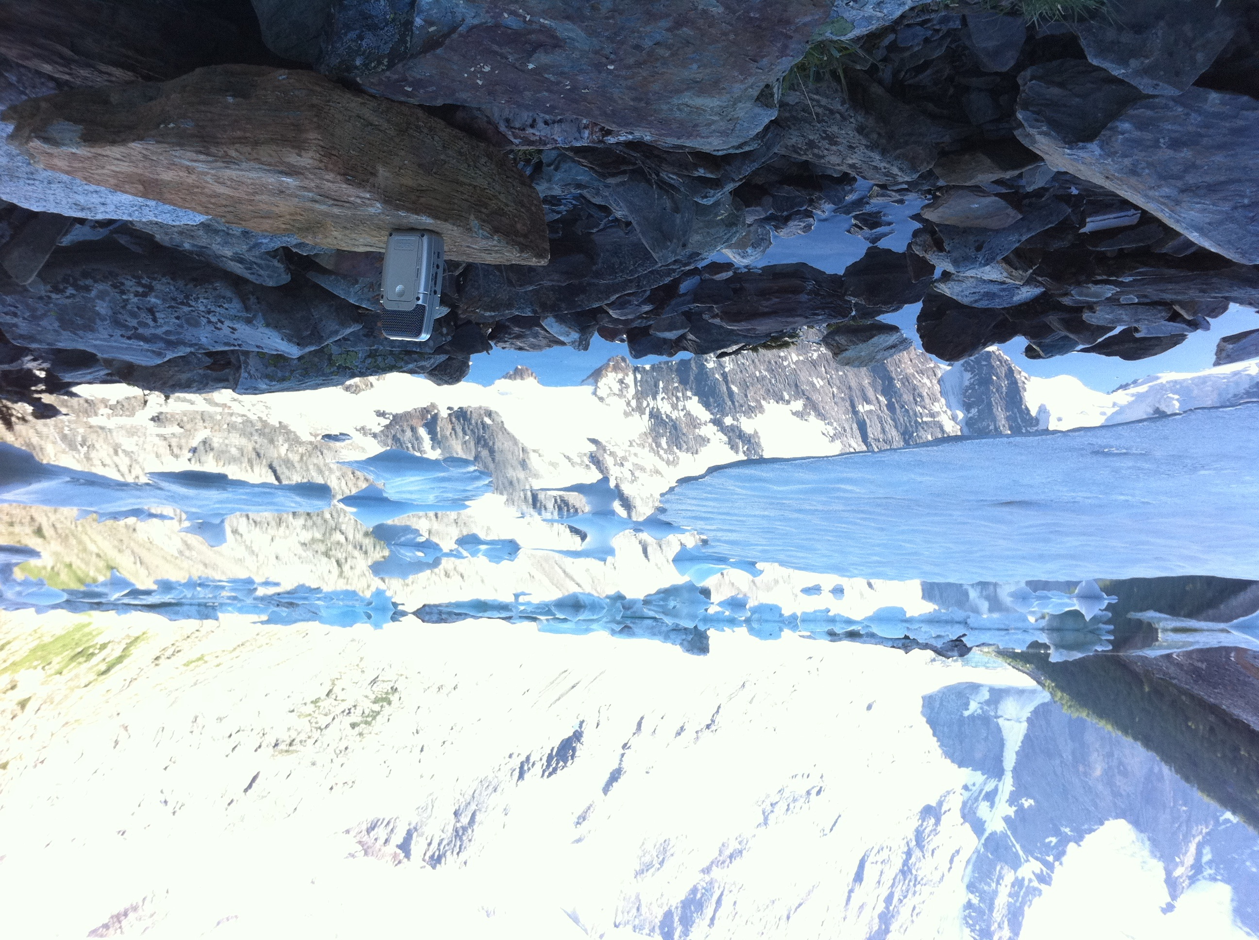
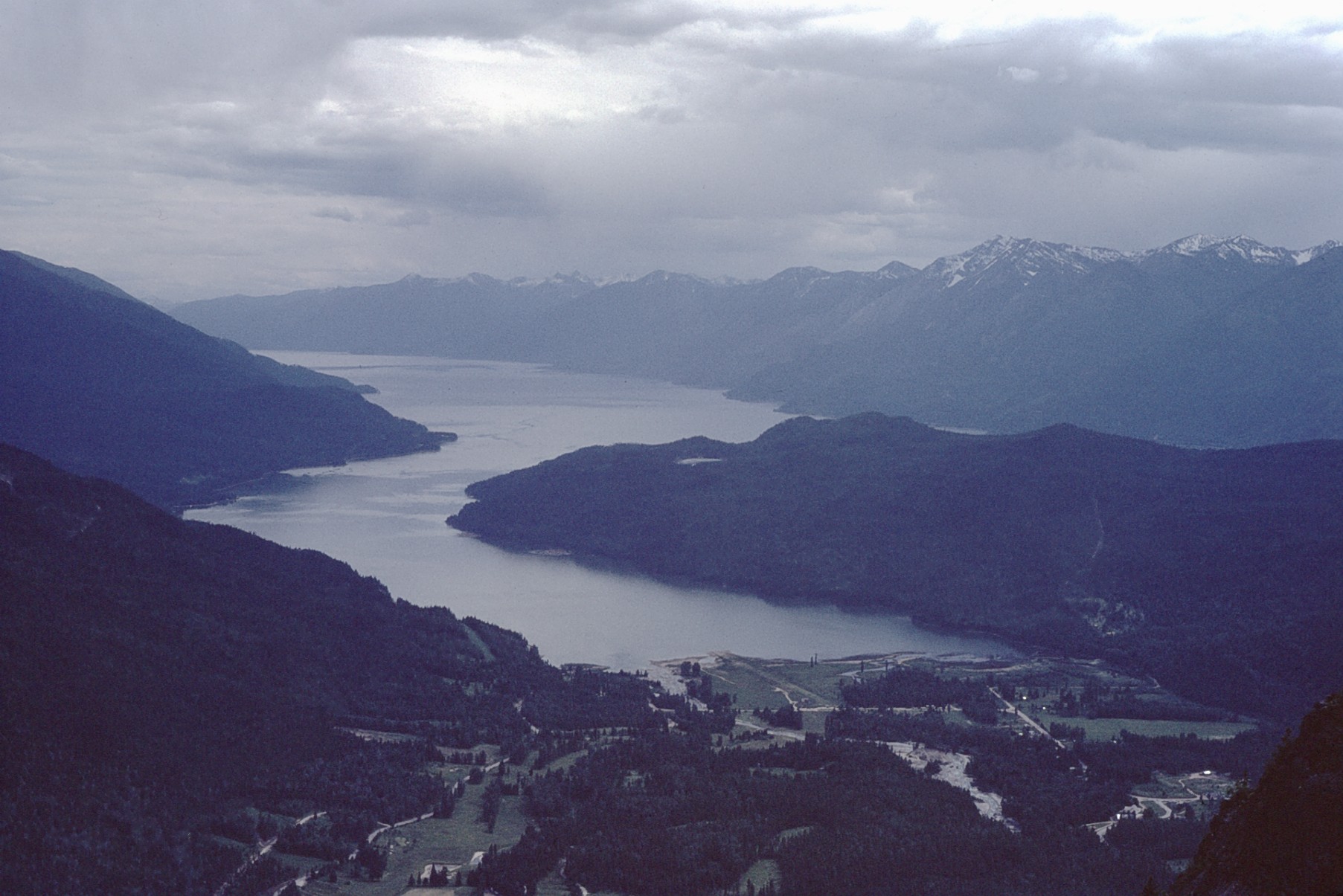
View from the top of pilot bay light house. A small detour down a lovely windy road From the ferry terminal
ESE toward Pilot Bay smelter
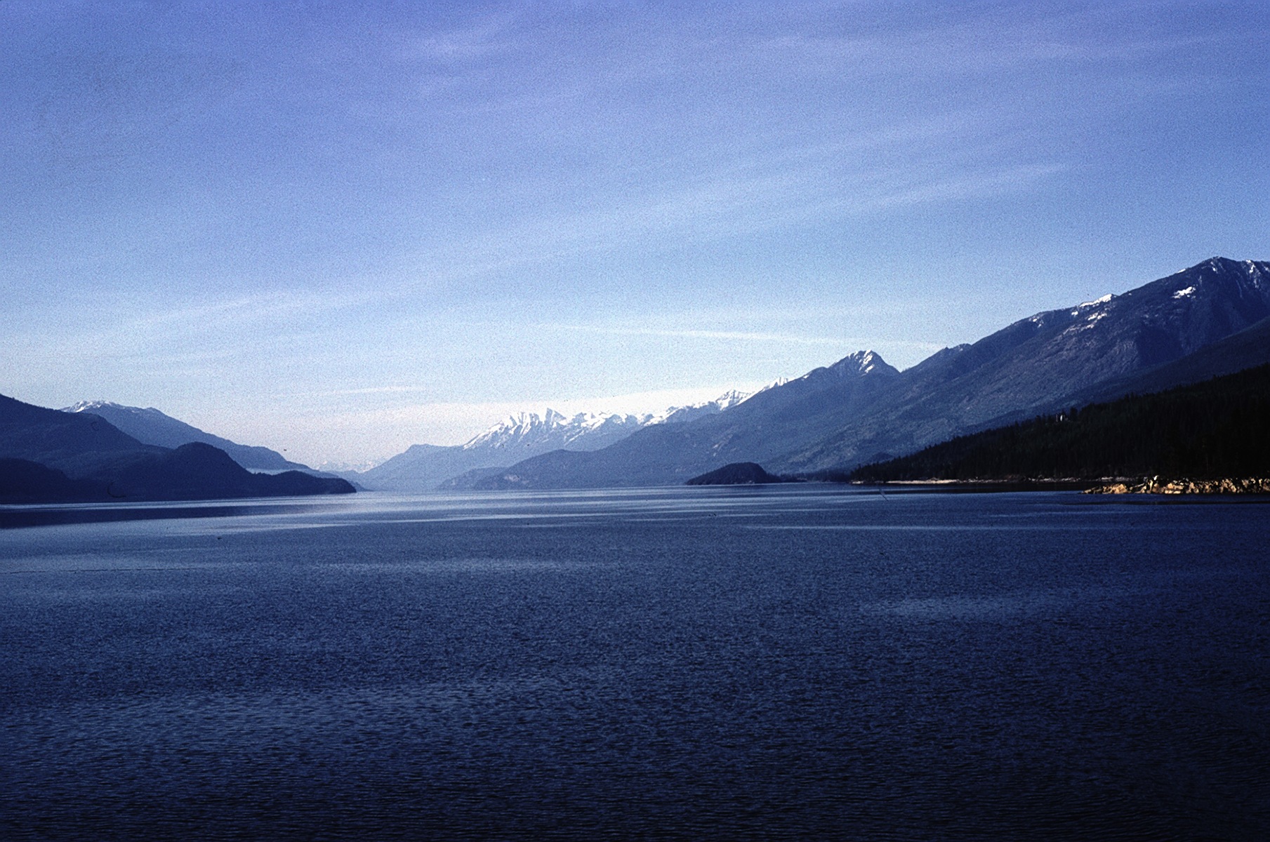
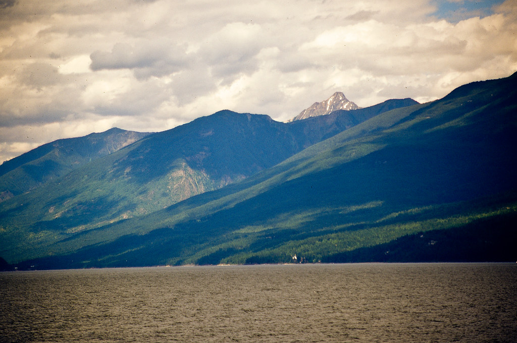
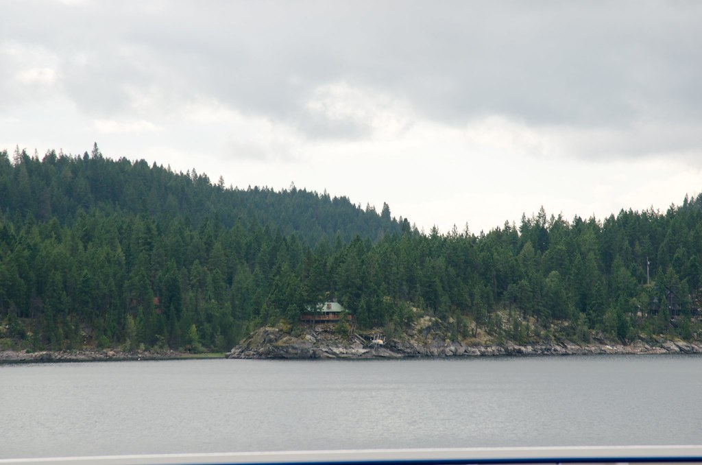
East from Kootenay Lake Ferry
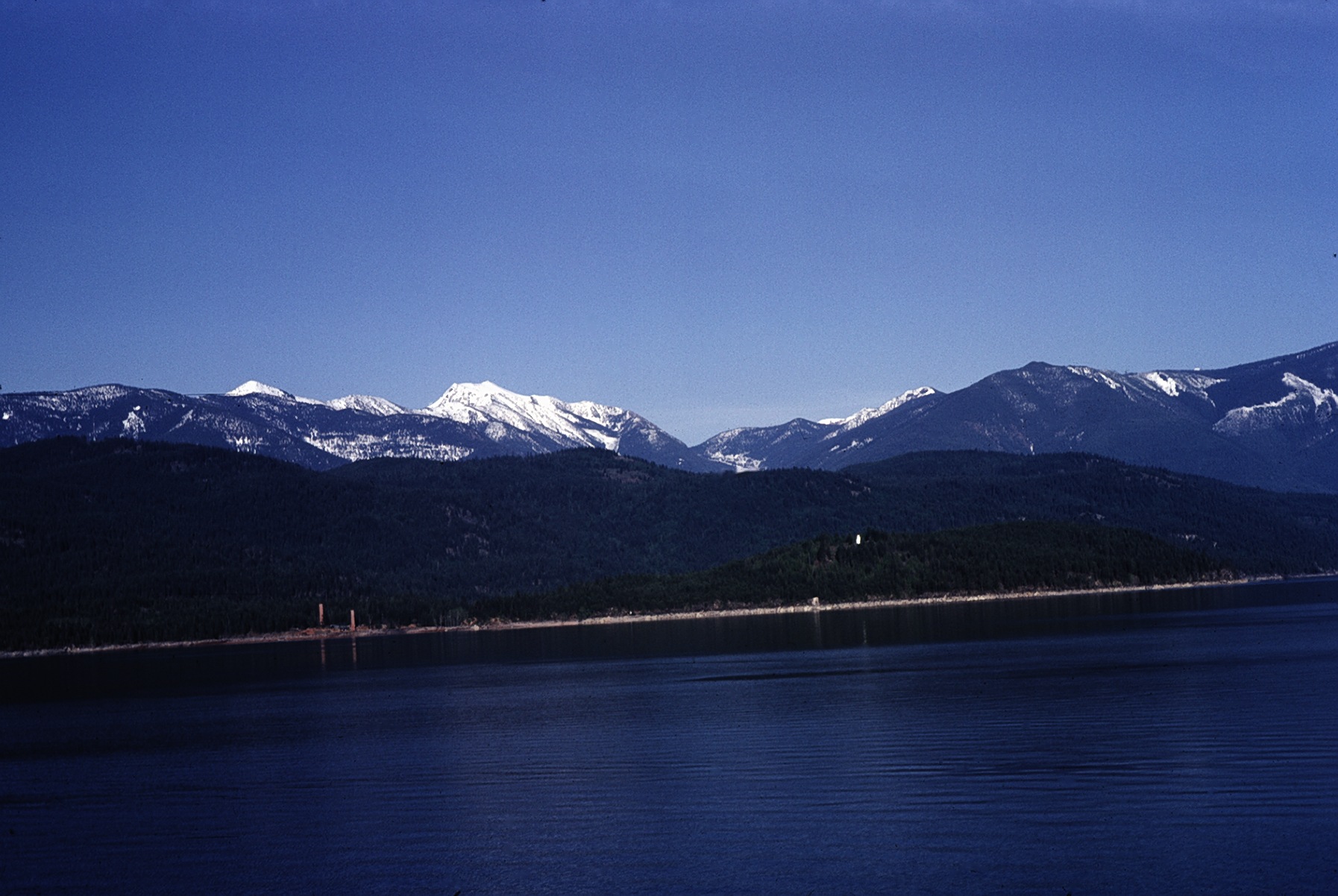
North from Kootenay Lake Ferry
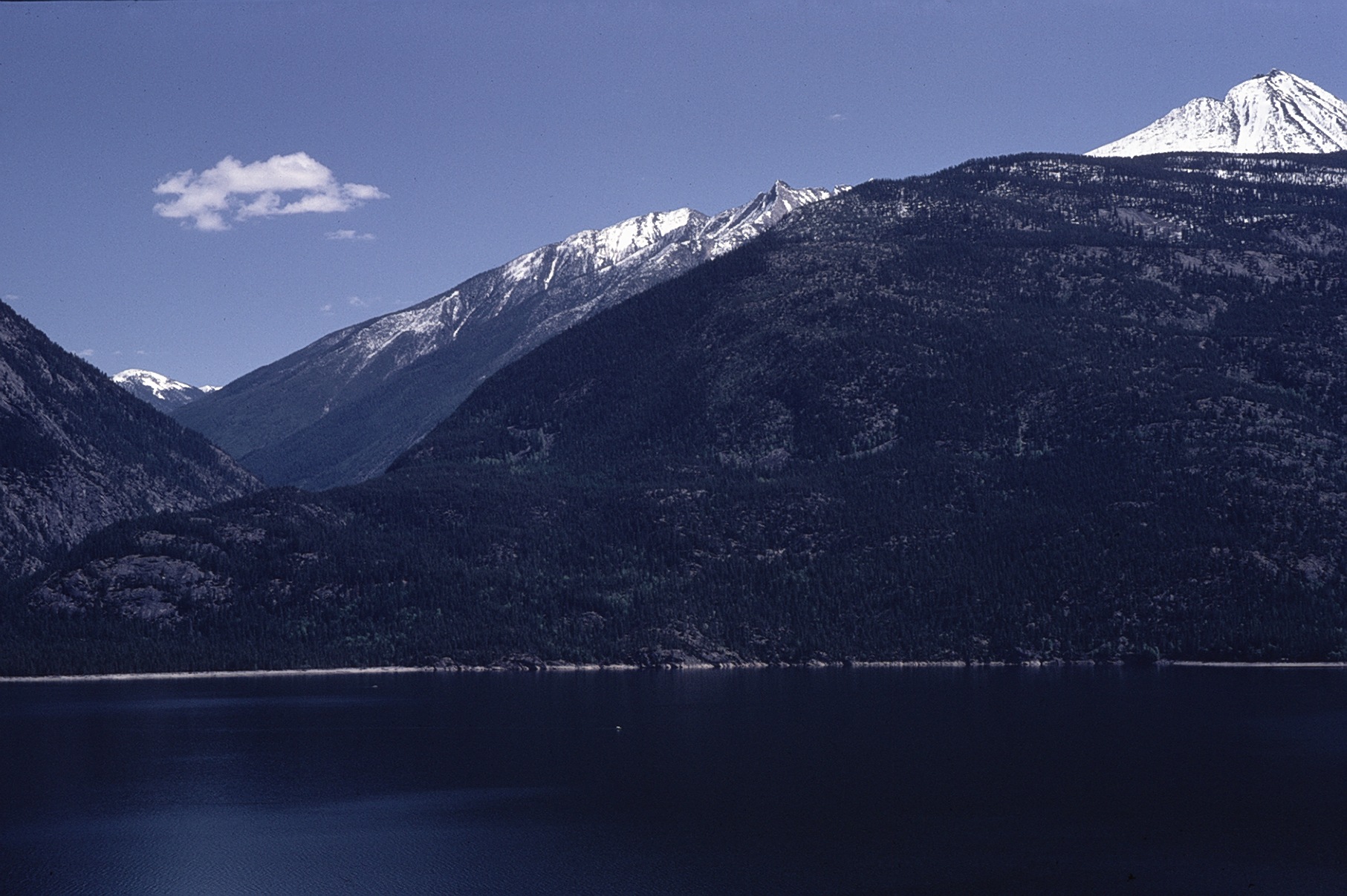
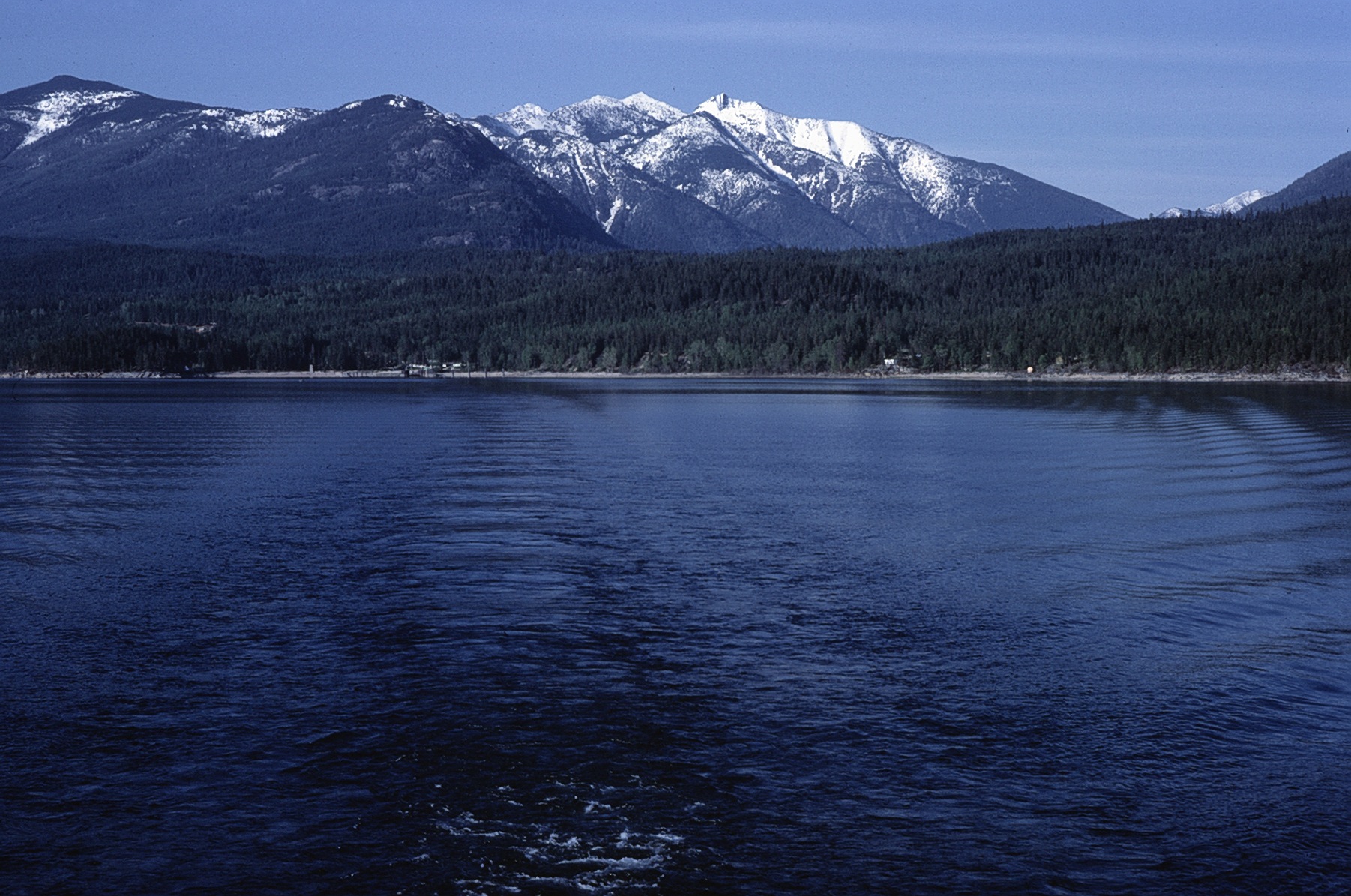
W from Kootenay Lake Ferry
North from West Arm
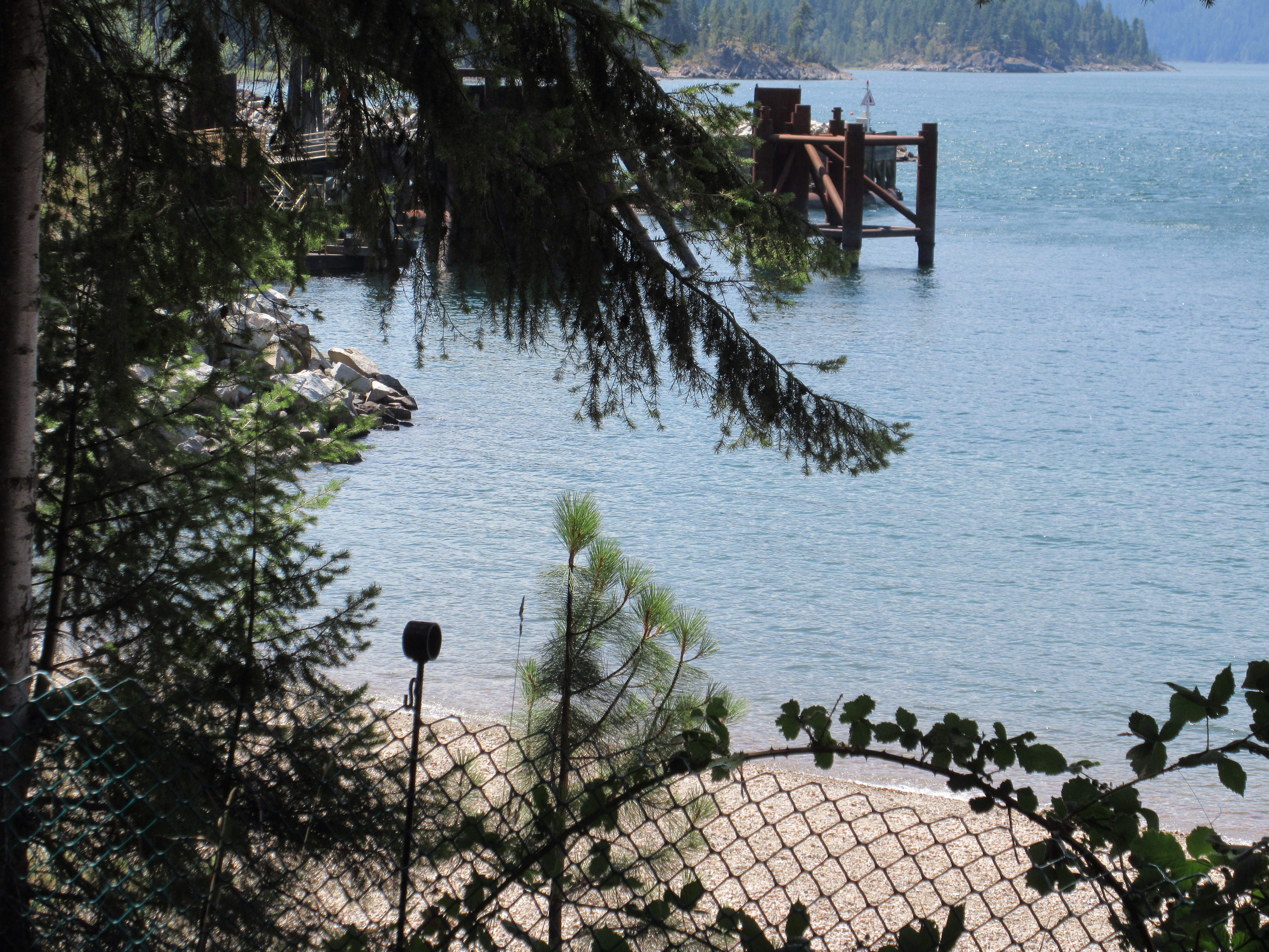
View towards the dock
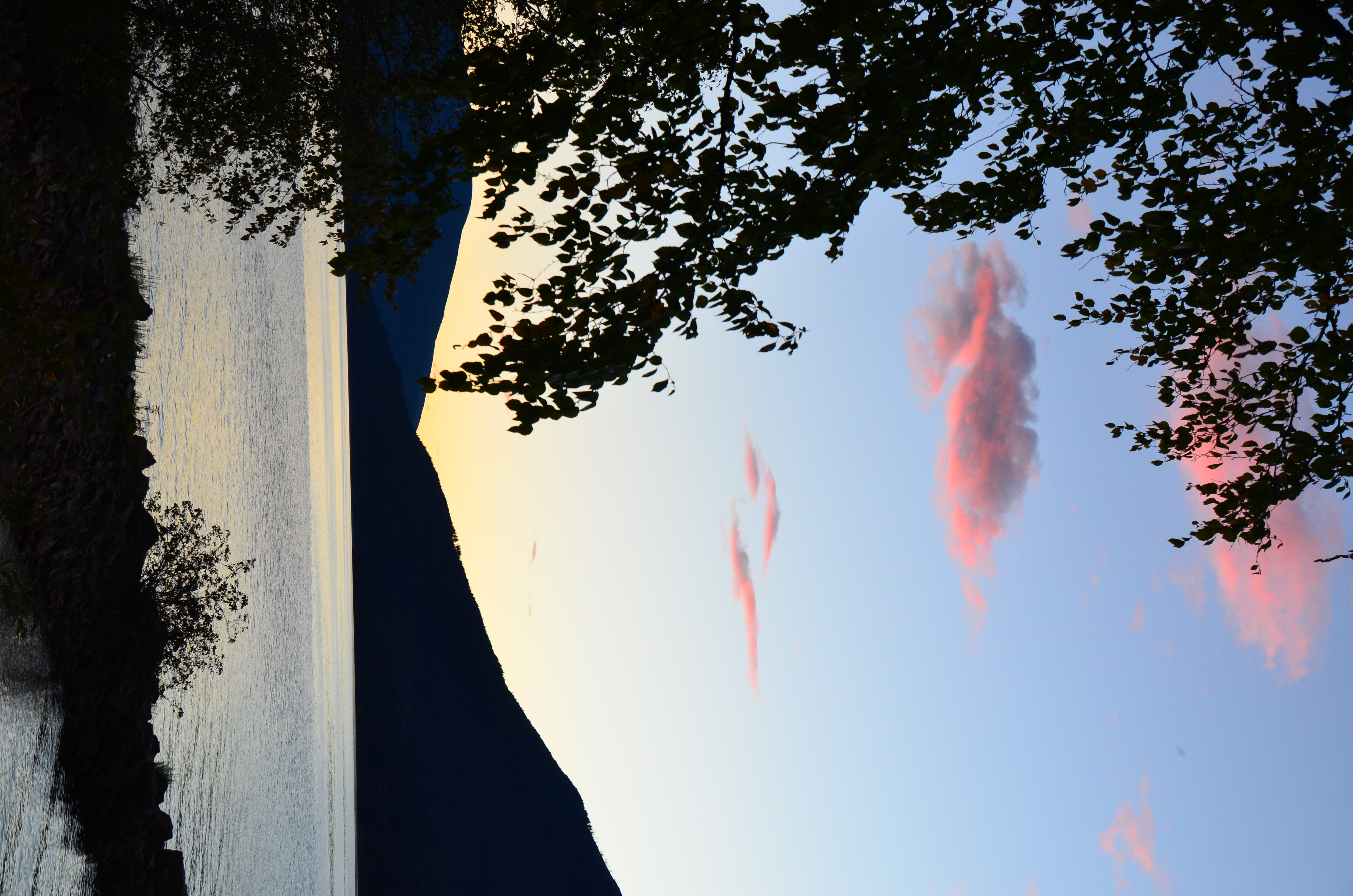
Abend am Kootenay Lake
Starting a new project
Allein am Campingplatz
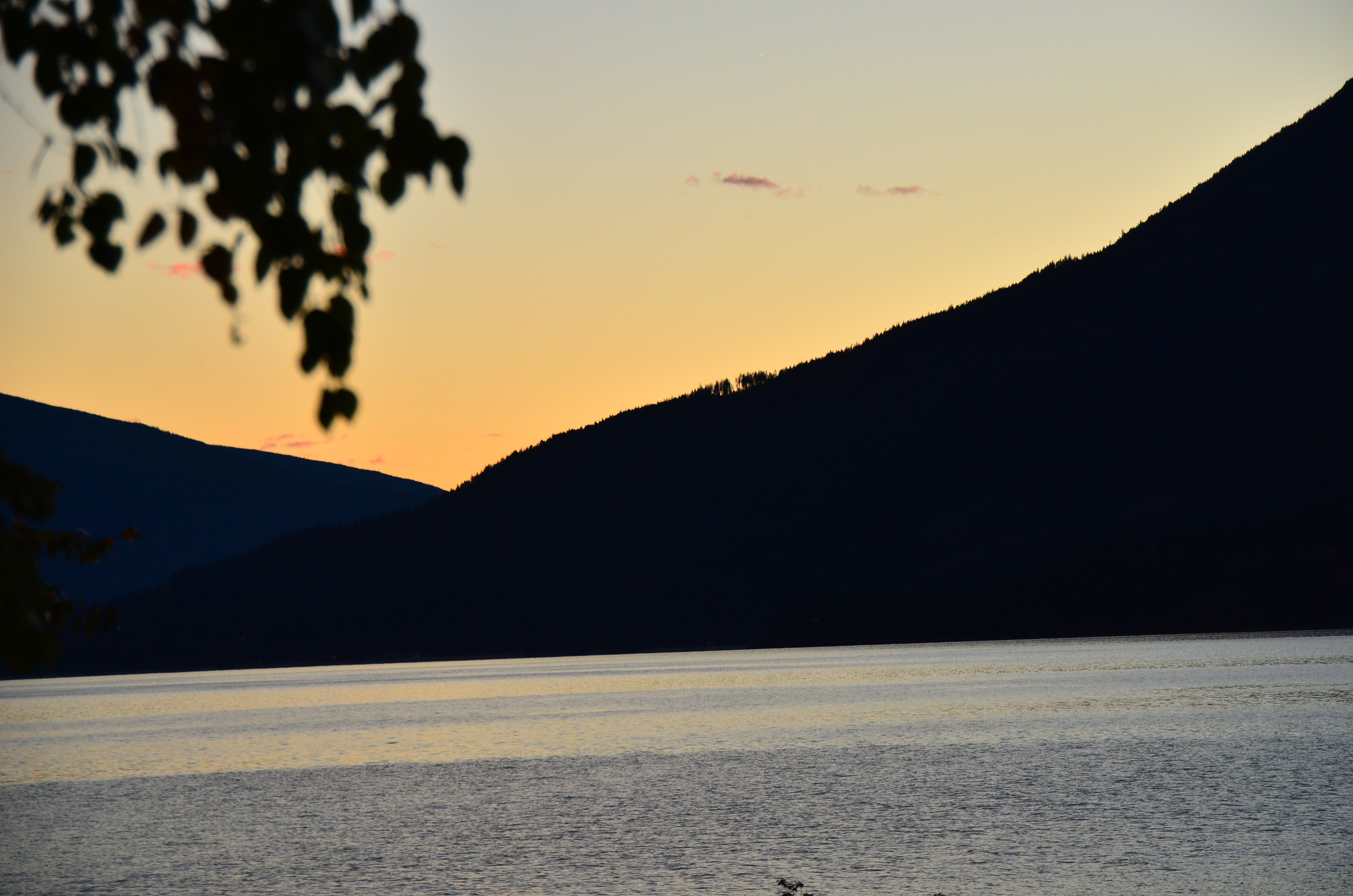
Abend am Kootenay Lake

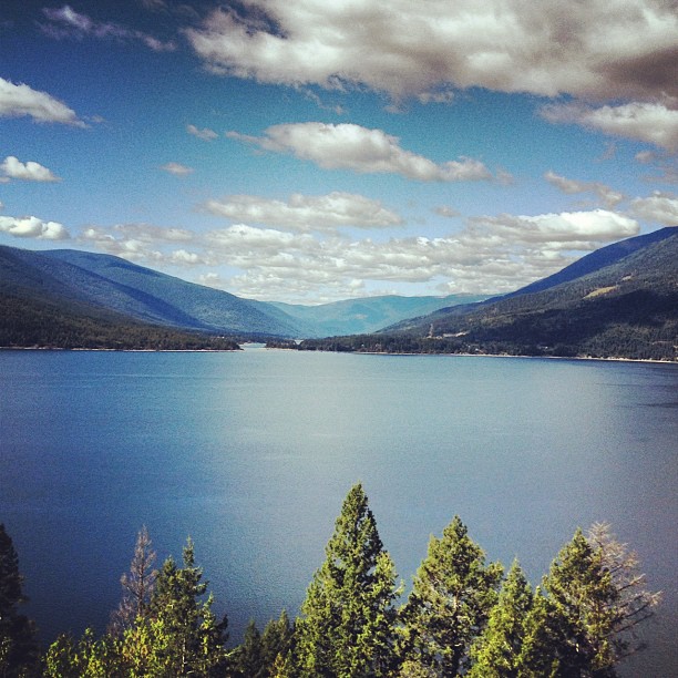
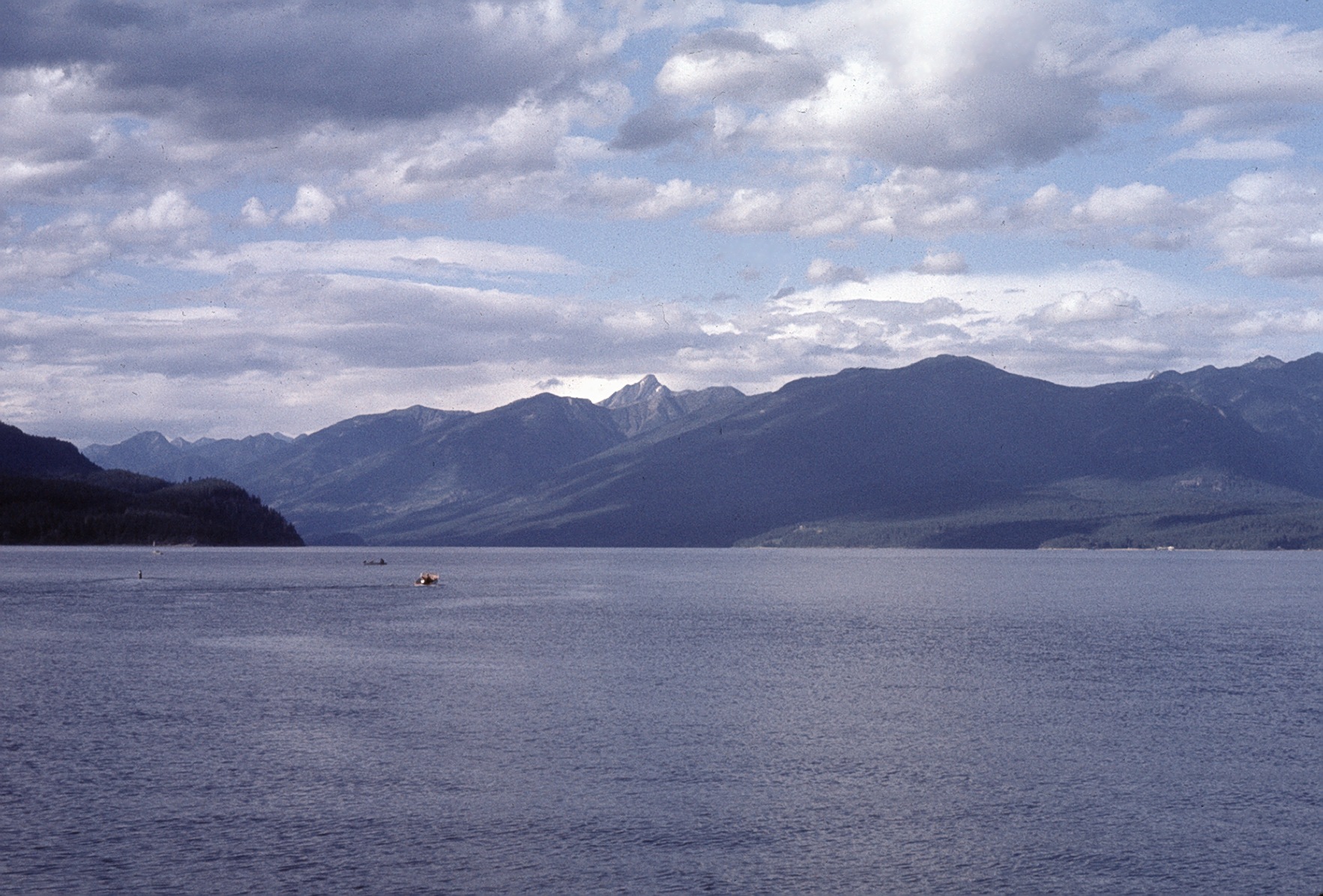
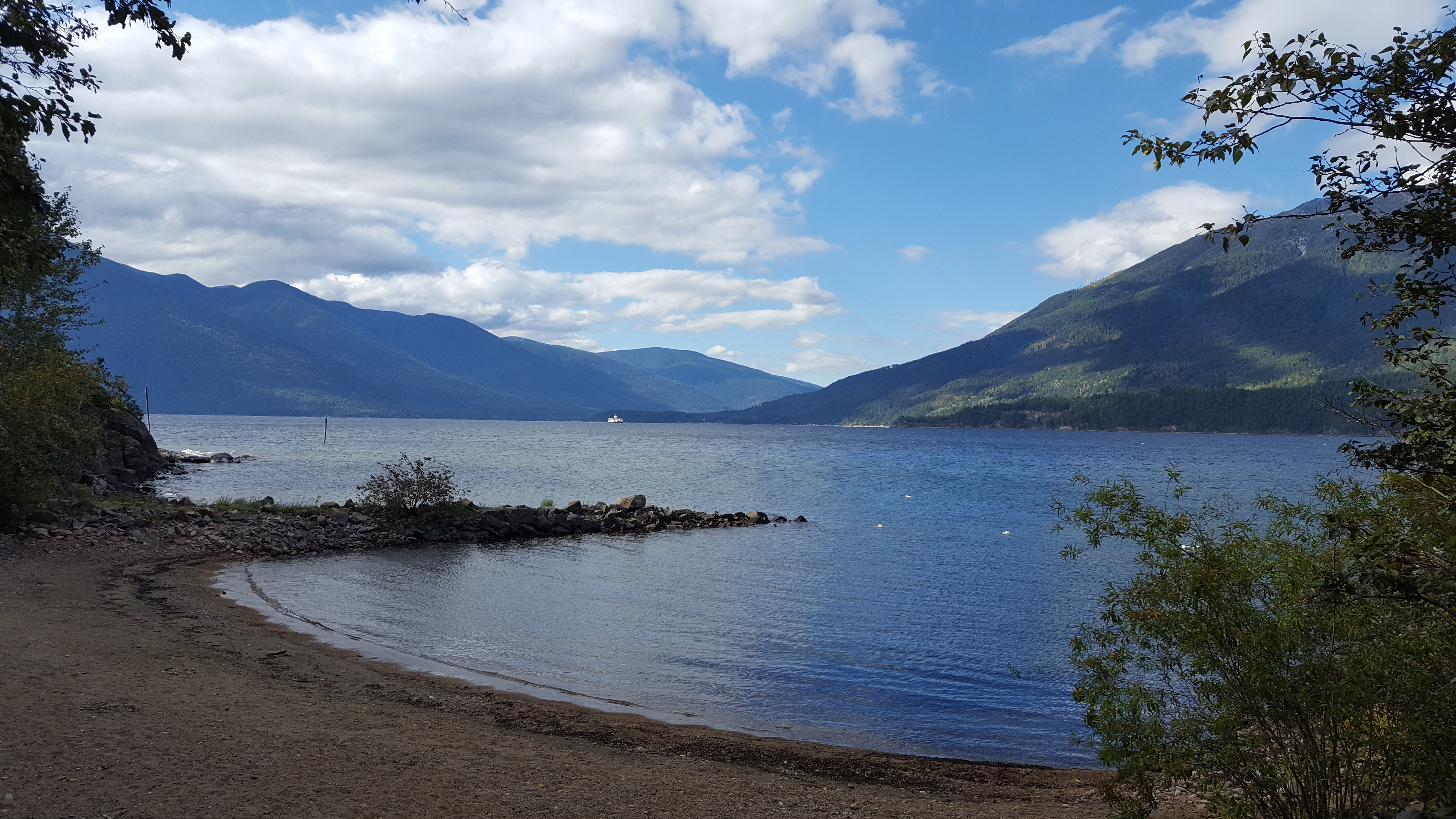
Kootenay Lake

Kootenay Lake.jpg
03-09-2009
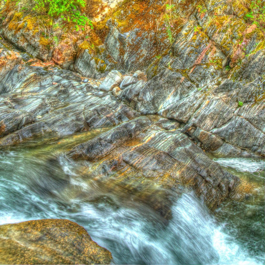
Coffee Creek (HDR)
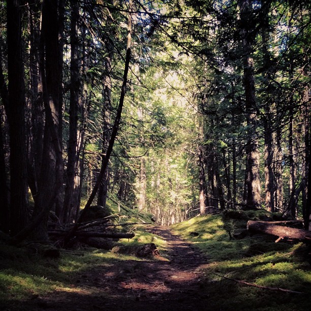
I love mossy trails!

Kootenay Lake (HDR)
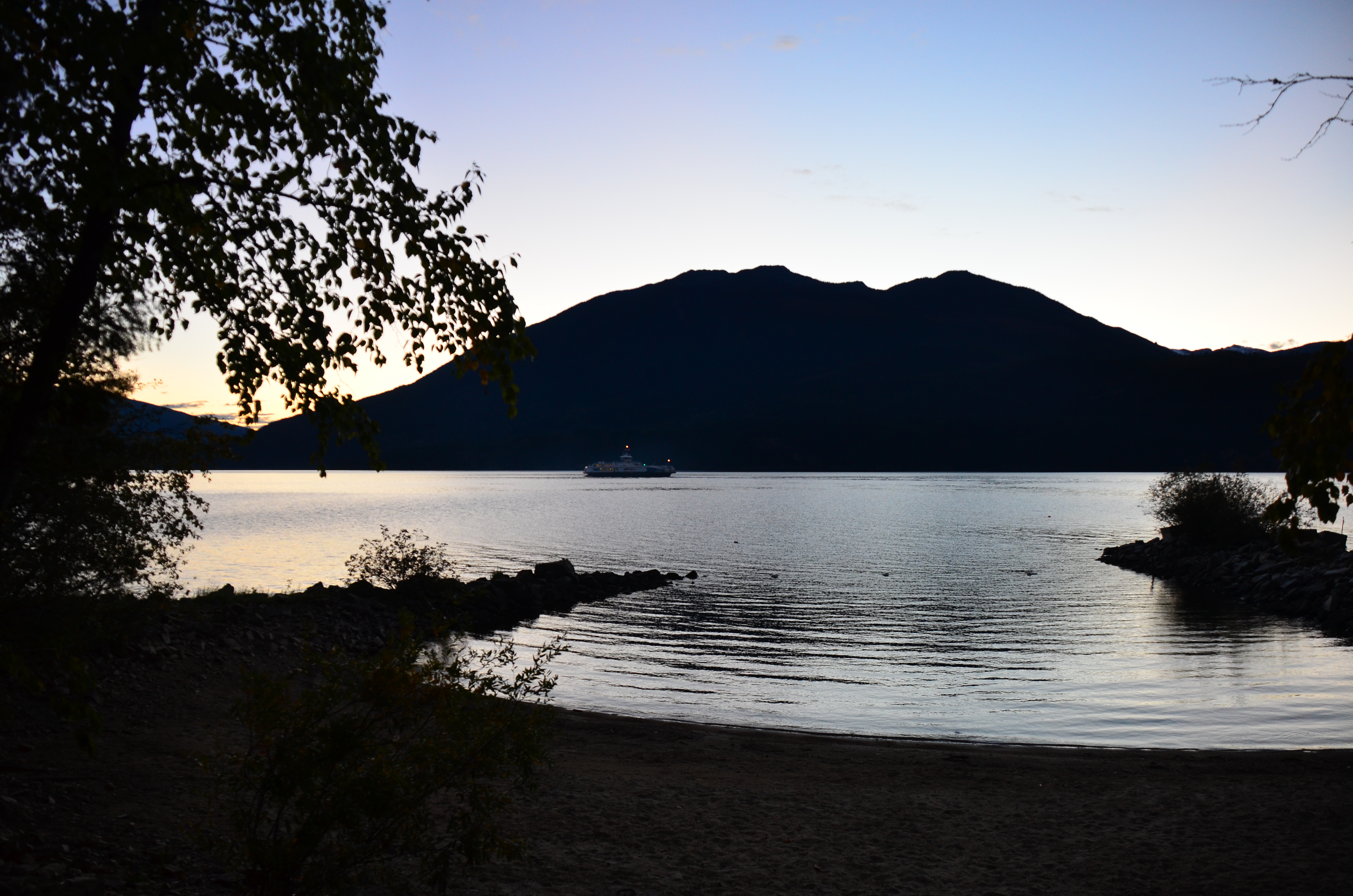
Abend am Kootenay Lake
2014-04-28_02-04-44
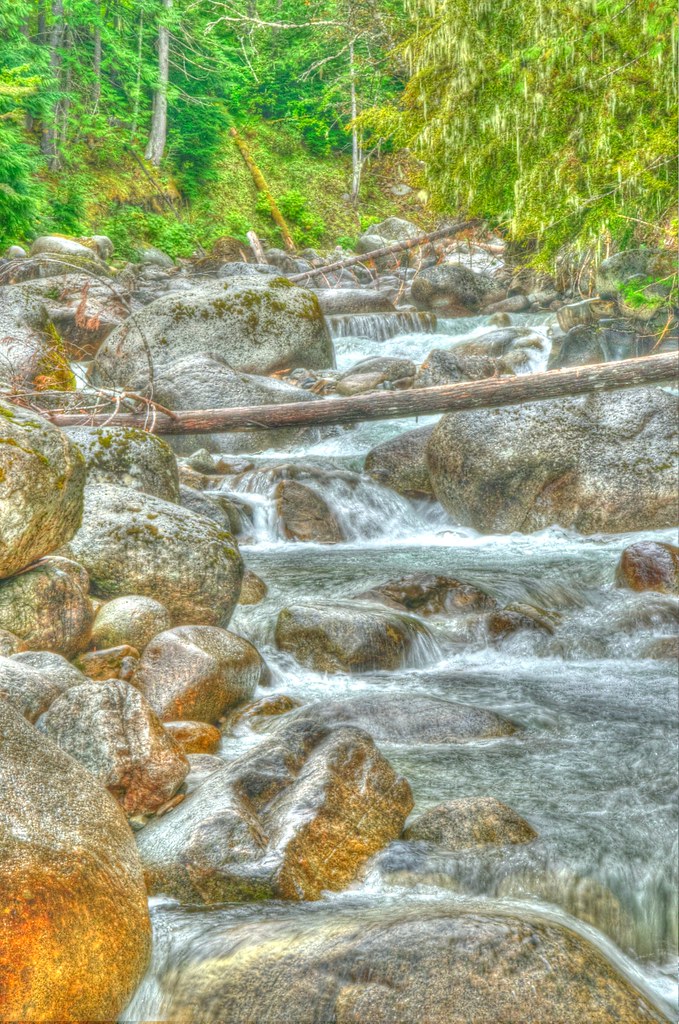
Coffee Creek (HDR)
Mount Loki above Kootenay Lake

Mountains from air 20 1970
Crawford Bay 1

Mountains from air 22 1970
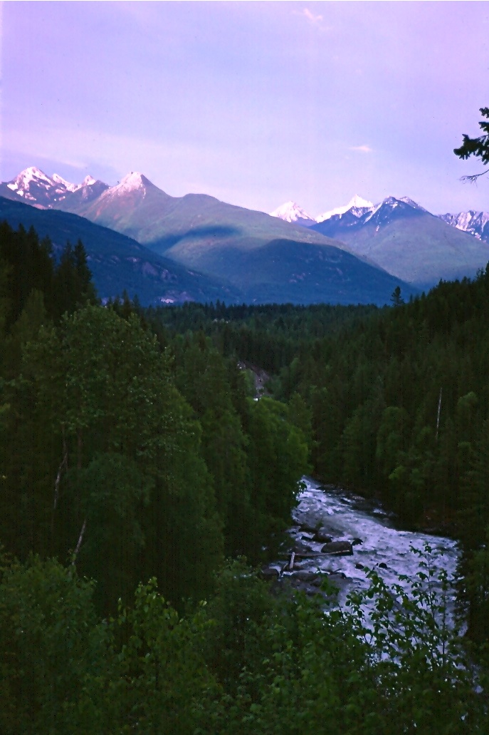
Kokanee Country
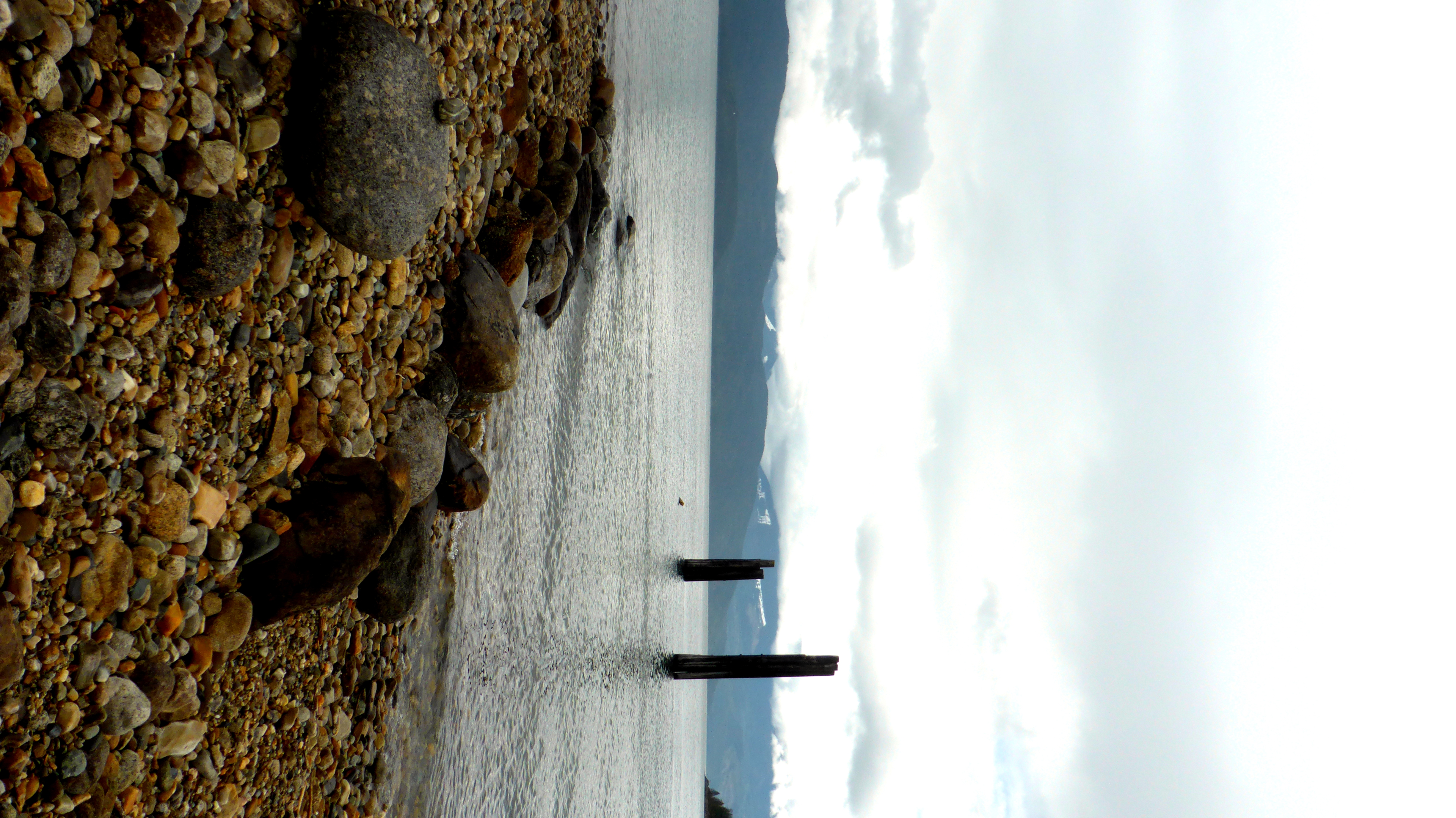
Kootenay Lake
Topographic Map of Maia Lane, Gray Creek, BC V0B 1S0, Canada
Find elevation by address:

Places near Maia Lane, Gray Creek, BC V0B 1S0, Canada:
BC-3A, Gray Creek, BC V0B 1S0, Canada
Gray Creek
Fishhawk Bay Road
V0b 1x0
Crawford Bay
Woolgar Road
16418 Wadds Rd
Kootenay Lake Road
710 Riondel Rd
710 Riondel Rd
Queens Bay
Balfour
7782 Bc-3a
7675 Bc-3a
7675 Bc-3a
Sunshine Bay
224 Mountainview Dr
224 Mountainview Dr
224 Mountainview Dr
224 Mountainview Dr
Recent Searches:
- Elevation of Shibuya Scramble Crossing, 21 Udagawacho, Shibuya City, Tokyo -, Japan
- Elevation of Jadagoniai, Kaunas District Municipality, Lithuania
- Elevation of Pagonija rock, Kranto 7-oji g. 8"N, Kaunas, Lithuania
- Elevation of Co Rd 87, Jamestown, CO, USA
- Elevation of Tenjo, Cundinamarca, Colombia
- Elevation of Côte-des-Neiges, Montreal, QC H4A 3J6, Canada
- Elevation of Bobcat Dr, Helena, MT, USA
- Elevation of Zu den Ihlowbergen, Althüttendorf, Germany
- Elevation of Badaber, Peshawar, Khyber Pakhtunkhwa, Pakistan
- Elevation of SE Heron Loop, Lincoln City, OR, USA