Elevation of Mahilpur, Punjab, India
Location: India > Punjab > Hoshiarpur >
Longitude: 76.0362897
Latitude: 31.3630371
Elevation: 296m / 971feet
Barometric Pressure: 98KPa
Elevation Map:
Satellite Map:
Related Photos:
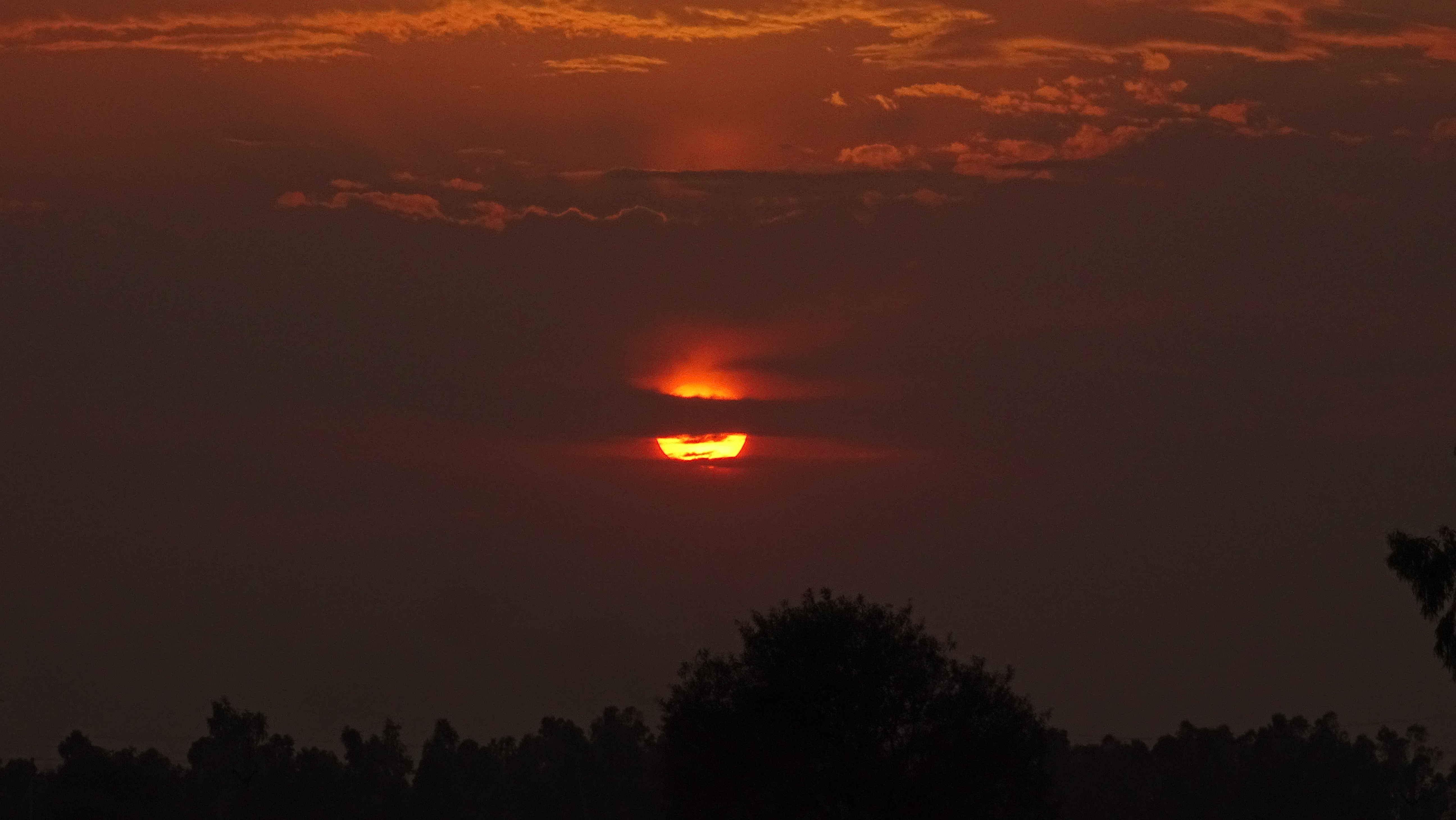
Hide & Seek (sunset)
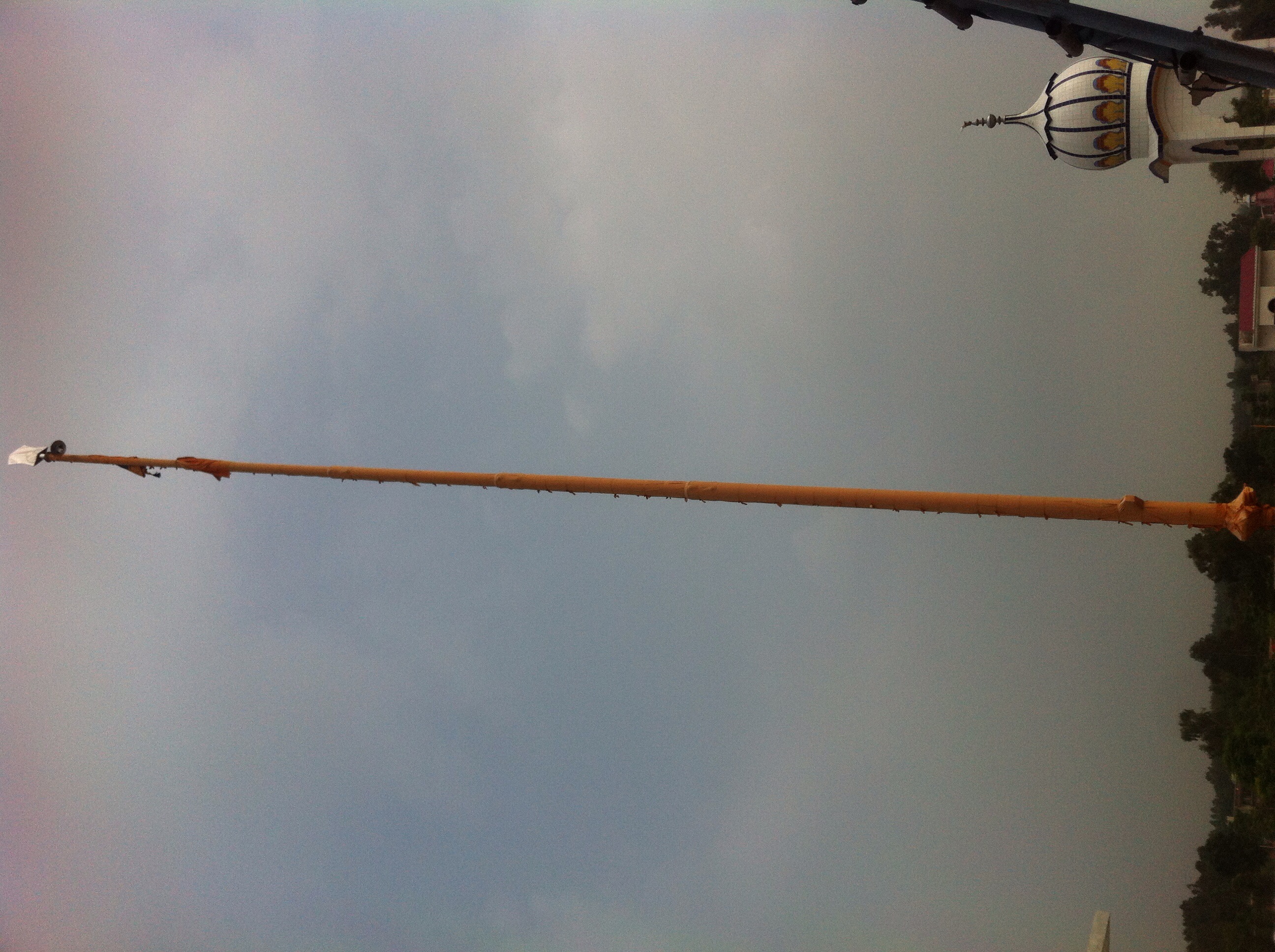
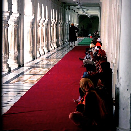
Gurudwara Pind Rajpur Bhayan top view

Gurudwara Pind Rajpur Bhayan top view

Gurudwara Pind Rajpur Bhayan top view

Gurudwara Pind Rajpur Bhayan top view

Gurudwara Pind Rajpur Bhayan top view
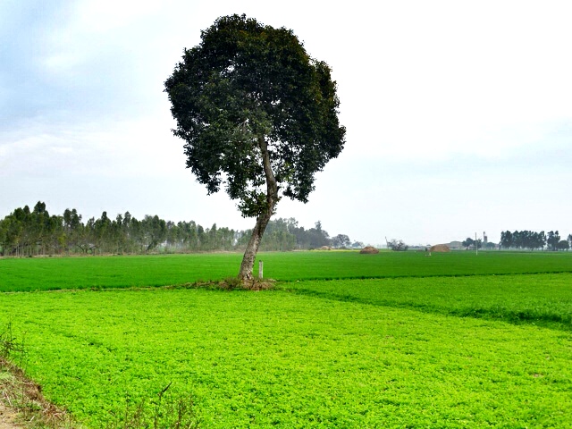
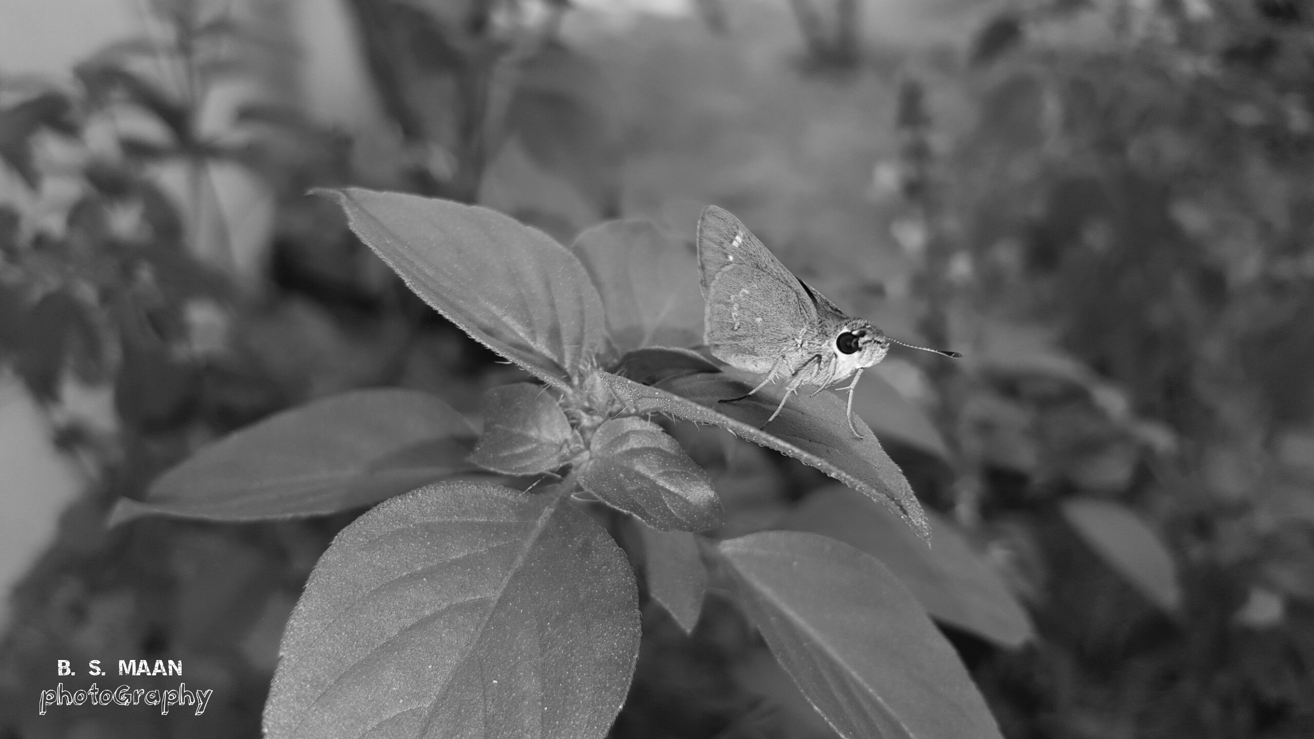
Alone !!

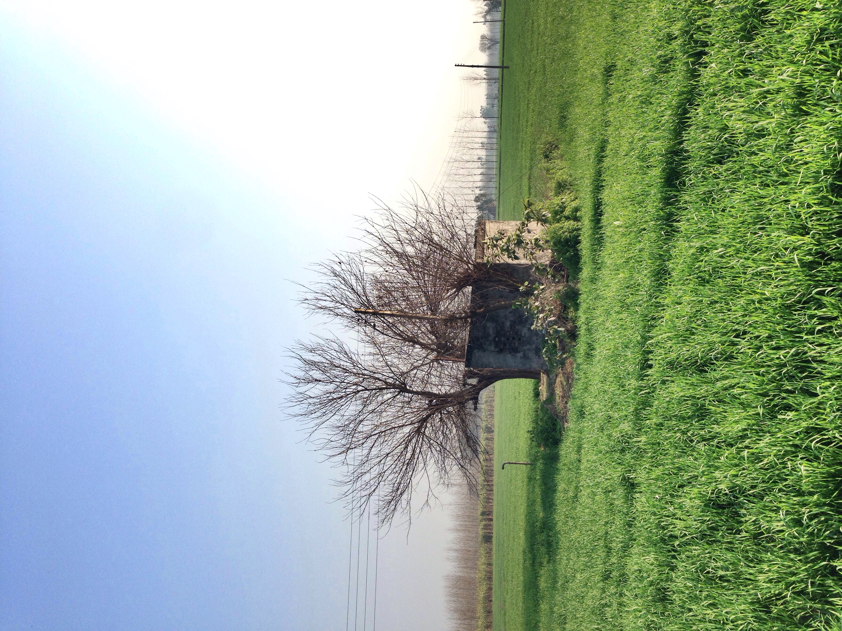
Sangha Farm
Sangha farm
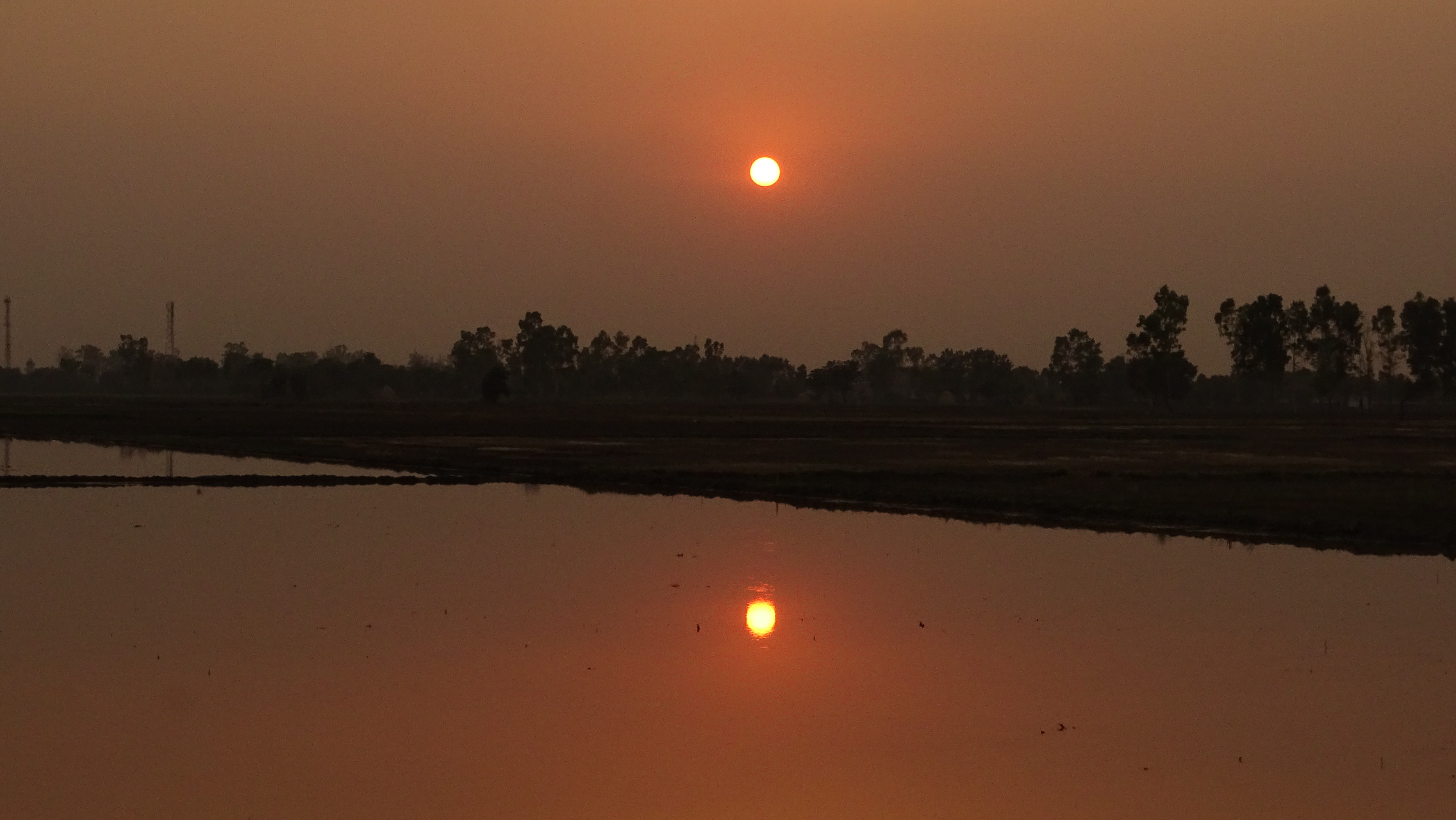
simpli sunset

BHUPINDER SINGH ANKHI

BHUPINDER SINGH ANKHI

BHUPINDER SINGH ANKHI

BHUPINDER SINGH ANKHI

BHUPINDER SINGH ANKHI

BHUPINDER SINGH ANKHI
Calm,,,,,,,,,, just dnt feel like carrying the whole dslr kit all the time with me ,,,, trying some Shots with SAMSUNG S6 EDGE
Ik Onkar
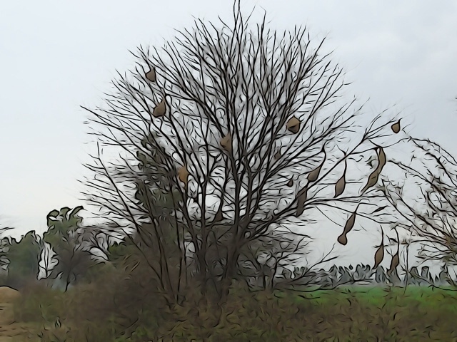
The Nest's !

Outside the class of MBA
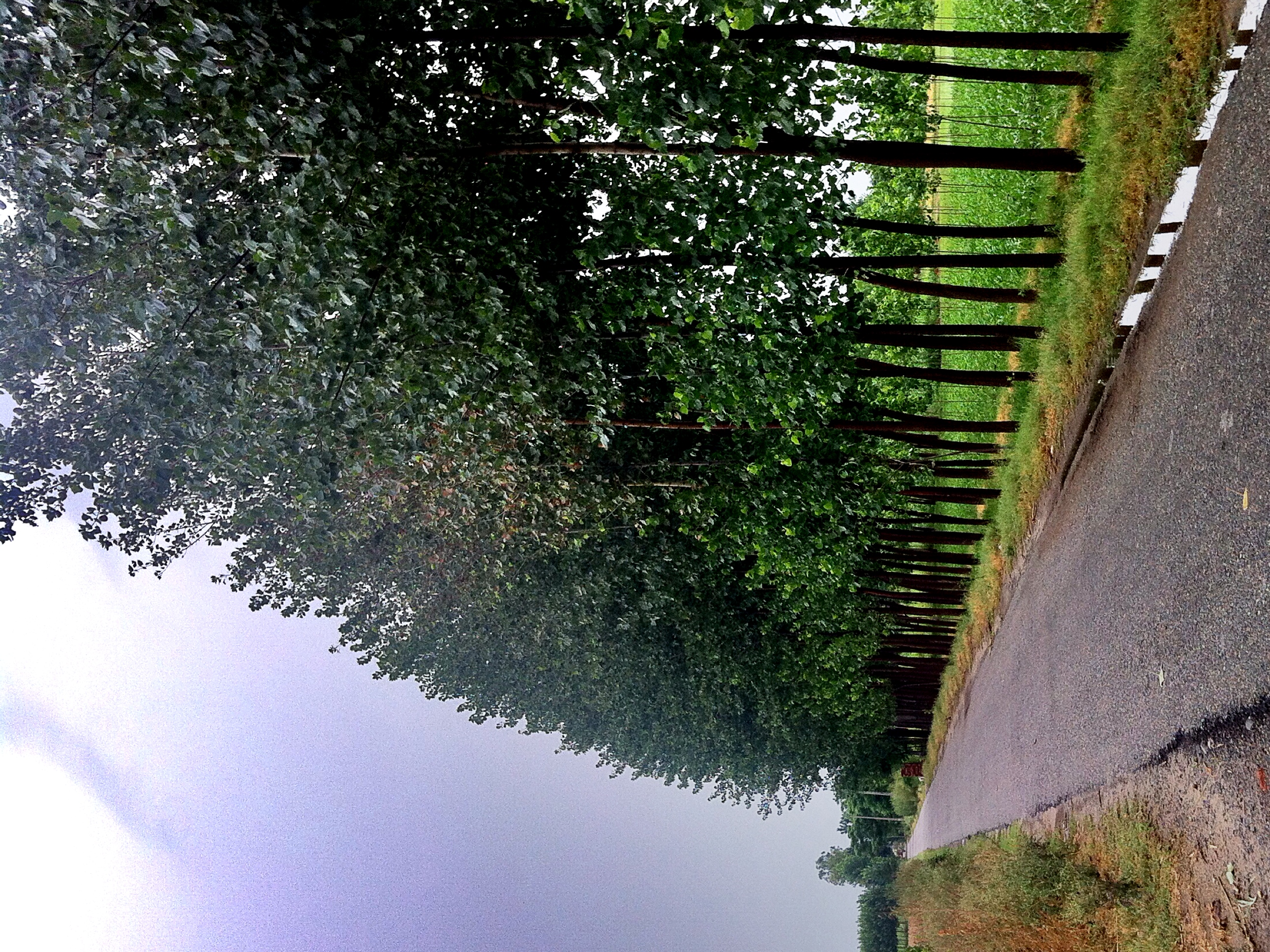
After Rain
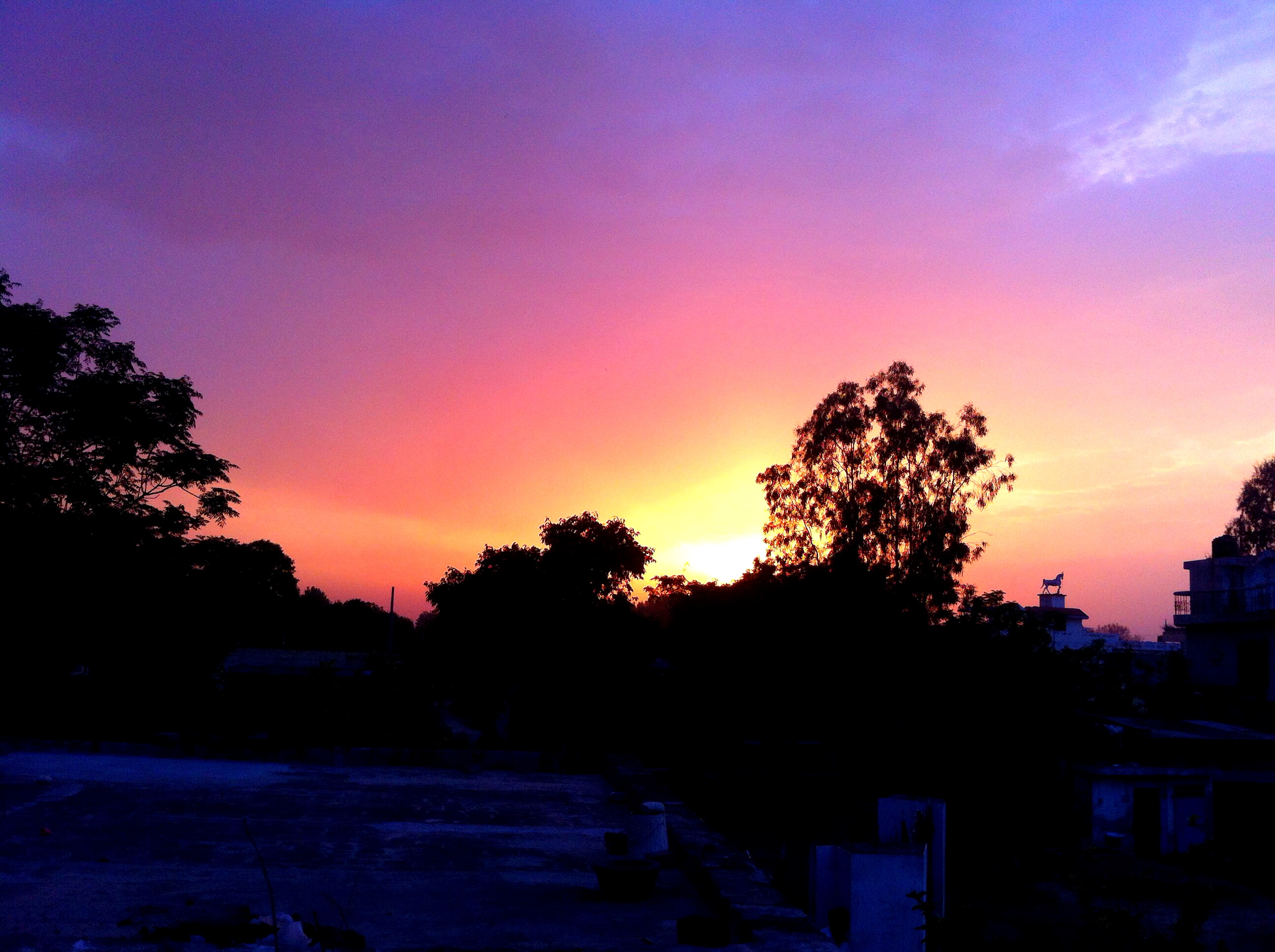
Sun set from Rajpur Bhaian
Topographic Map of Mahilpur, Punjab, India
Find elevation by address:

Places near Mahilpur, Punjab, India:
Sarkari Parimary School, Aiman Jattan
Binjon
Citrus County
2nd Street Main Bazar
Garhshankar
Banga
Haroli
Rattanpur
Una
Gaj Retreat
Saroya
Shaheed Bhagat Singh Nagar
Una
Dhamandri
Aur
Amb
Nangal
Bhakra Dam
Balachaur
Bangana
Recent Searches:
- Elevation of Woodland Oak Pl, Thousand Oaks, CA, USA
- Elevation of Brownsdale Rd, Renfrew, PA, USA
- Elevation of Corcoran Ln, Suffolk, VA, USA
- Elevation of Mamala II, Sariaya, Quezon, Philippines
- Elevation of Sarangdanda, Nepal
- Elevation of 7 Waterfall Way, Tomball, TX, USA
- Elevation of SW 57th Ave, Portland, OR, USA
- Elevation of Crocker Dr, Vacaville, CA, USA
- Elevation of Pu Ngaol Community Meeting Hall, HWHM+3X7, Krong Saen Monourom, Cambodia
- Elevation of Royal Ontario Museum, Queens Park, Toronto, ON M5S 2C6, Canada