Elevation of Mahendragarh, Haryana, India
Location: India > Haryana > Mahendragarh > Mahendragarh >
Longitude: 76.1530126
Latitude: 28.2635143
Elevation: 270m / 886feet
Barometric Pressure: 98KPa
Elevation Map:
Satellite Map:
Related Photos:
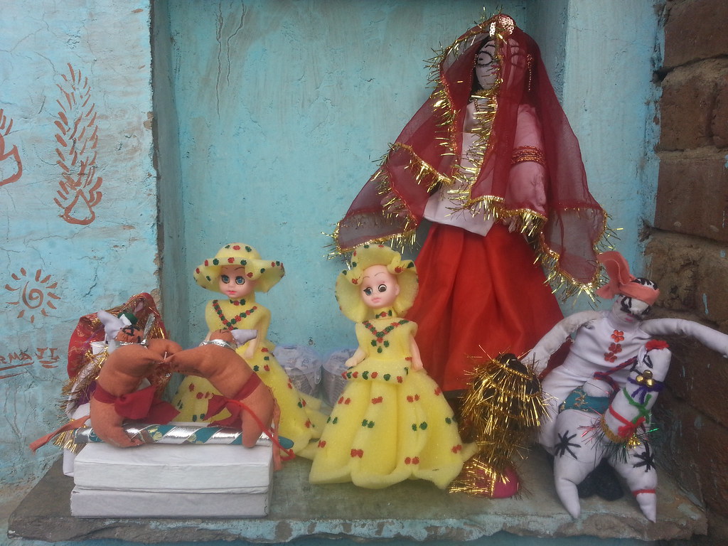
Village toya
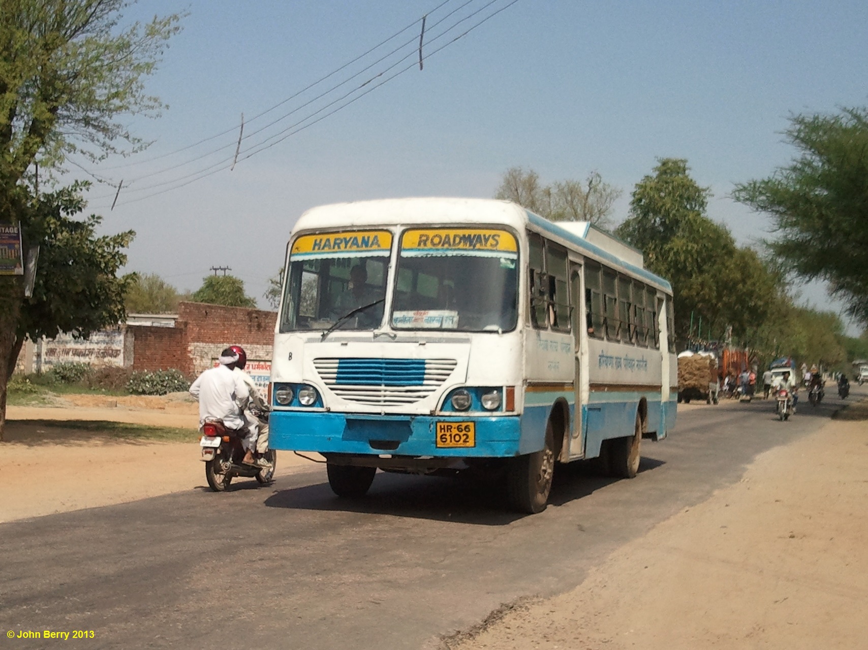
Kanina Railway Station, Mahendragarh, Haryana, India 16 April 2013
Topographic Map of Mahendragarh, Haryana, India
Find elevation by address:

Places in Mahendragarh, Haryana, India:
Places near Mahendragarh, Haryana, India:
1, Hatta Bazzar Rd, Mahendragarh, Haryana, India
Mahendragarh
Jaydayal's Villa
Pali
Rewari
10, Rewari, Sec 3, Sector 3, Rewari, Haryana, India
Sec 3
Sector 3
Rewari
Bariawas
Bhiwani
Dharuhera
Gurgaon
Rohtak
Dlf New Town Heights, Sector 86
Hayatpur
Haryana
Shikarpur
Sector 75
Old Railway Road
Recent Searches:
- Elevation of 7 Waterfall Way, Tomball, TX, USA
- Elevation of SW 57th Ave, Portland, OR, USA
- Elevation of Crocker Dr, Vacaville, CA, USA
- Elevation of Pu Ngaol Community Meeting Hall, HWHM+3X7, Krong Saen Monourom, Cambodia
- Elevation of Royal Ontario Museum, Queens Park, Toronto, ON M5S 2C6, Canada
- Elevation of Groblershoop, South Africa
- Elevation of Power Generation Enterprises | Industrial Diesel Generators, Oak Ave, Canyon Country, CA, USA
- Elevation of Chesaw Rd, Oroville, WA, USA
- Elevation of N, Mt Pleasant, UT, USA
- Elevation of 6 Rue Jules Ferry, Beausoleil, France