Elevation of Magu, Tanzania
Location: Tanzania > Mwanza Region >
Longitude: 33.4439588
Latitude: -2.5897521
Elevation: 1149m / 3770feet
Barometric Pressure: 88KPa
Elevation Map:
Satellite Map:
Related Photos:

Bobs iPhone photos Tanzania
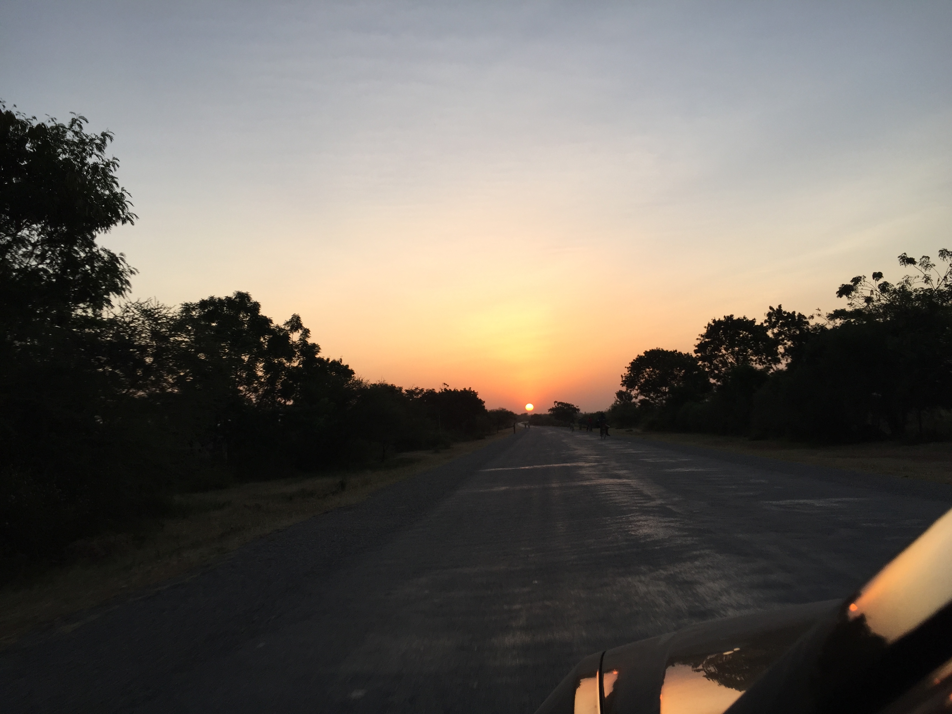
Bobs iPhone photos Tanzania
Topographic Map of Magu, Tanzania
Find elevation by address:

Places near Magu, Tanzania:
Kagera
Ilemela
Tambukareli Sda Church
Mwanza
Nyamagana
Nane Nane Tours And Safaris
Busekera
Ukerewe Island
Ukerewe
Sengerema
Sengerema
Recent Searches:
- Elevation of Elwyn Dr, Roanoke Rapids, NC, USA
- Elevation of Congressional Dr, Stevensville, MD, USA
- Elevation of Bellview Rd, McLean, VA, USA
- Elevation of Stage Island Rd, Chatham, MA, USA
- Elevation of Shibuya Scramble Crossing, 21 Udagawacho, Shibuya City, Tokyo -, Japan
- Elevation of Jadagoniai, Kaunas District Municipality, Lithuania
- Elevation of Pagonija rock, Kranto 7-oji g. 8"N, Kaunas, Lithuania
- Elevation of Co Rd 87, Jamestown, CO, USA
- Elevation of Tenjo, Cundinamarca, Colombia
- Elevation of Côte-des-Neiges, Montreal, QC H4A 3J6, Canada