Elevation of Magnolia Pointe, FL, USA
Location: United States > Florida > Brevard County > Melbourne >
Longitude: -80.694410
Latitude: 28.2338413
Elevation: 9m / 30feet
Barometric Pressure: 101KPa
Elevation Map:
Satellite Map:
Related Photos:

_D2_1210.jpg

_M4_5462.jpg
_M4_1224.jpg

_M4_4972CROP.jpg
_M4_5974.jpg
_M4_1214.jpg

_M4_6501.jpg
_M4_6153.jpg
_M4_9281.jpg

_M4_3867.jpg
_M4_9629CROP.jpg
_M4_1927.jpg

_D2_8683.jpg

_M4_8833.jpg

_M4_5066.jpg
_M4_3631.jpg
_M4_2456.jpg
_M4_2808.jpg
_RDX5276.jpg
_M4_4107.jpg
_M4_5560.jpg

Between the spans
THE BILLIARD GUY

THE BILLIARD GUY

Dew on the Boardwalk
Marsh Moon

Harbor sunrise

Good Morning, Ocean 3

MAGNOLIA #8

Old boat by a bridge

Dawn of a new day
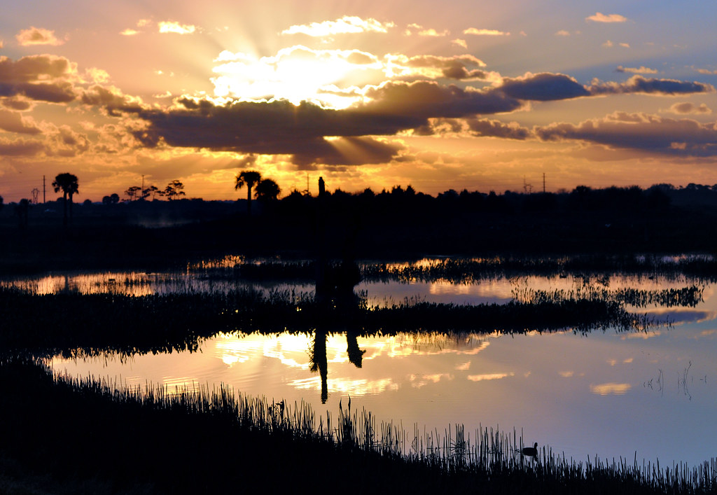
Sunrise through clouds over Viera Wetlands with obligatory coot in foreground

THE BILLIARD GUY

THE BILLIARD GUY

THE BILLIARD GUY
It was a stormy week.

A Wonderful Day
THE BILLIARD GUY
THE BILLIARD GUY

View from the porch...
Cocoa Beach Pier

Under the bridge
Topographic Map of Magnolia Pointe, FL, USA
Find elevation by address:

Places near Magnolia Pointe, FL, USA:
1151 Royal Fern Dr
Westlake Village
260 Carmel Dr
Mission Lakes Villas
385 Carmel Dr
Suntree Center
497 Kimberly Dr
497 Kimberly Dr
7667 N Wickham Rd
496 Kimberly Dr
Sabal Lake Estates
Suntree Lakes
640 Carriage Hill Rd
723 Autumn Glen Dr
Suntree
1313 Hampton Park Ln
7838 Falling Leaf Pl
400 Trotter Ln
Hampton Park
625 Marbella Pl
Recent Searches:
- Elevation of East W.T. Harris Boulevard, E W.T. Harris Blvd, Charlotte, NC, USA
- Elevation of West Sugar Creek, Charlotte, NC, USA
- Elevation of Wayland, NY, USA
- Elevation of Steadfast Ct, Daphne, AL, USA
- Elevation of Lagasgasan, X+CQH, Tiaong, Quezon, Philippines
- Elevation of Rojo Ct, Atascadero, CA, USA
- Elevation of Flagstaff Drive, Flagstaff Dr, North Carolina, USA
- Elevation of Avery Ln, Lakeland, FL, USA
- Elevation of Woolwine, VA, USA
- Elevation of Lumagwas Diversified Farmers Multi-Purpose Cooperative, Lumagwas, Adtuyon, RV32+MH7, Pangantucan, Bukidnon, Philippines