Elevation of Magherafelt, UK
Location: United Kingdom > Northern Ireland >
Longitude: -6.6077487
Latitude: 54.7553279
Elevation: 70m / 230feet
Barometric Pressure: 100KPa
Elevation Map:
Satellite Map:
Related Photos:

Big Ball Of Heat

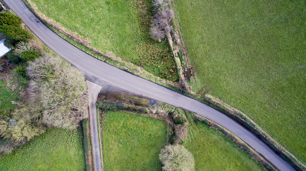
road with a view

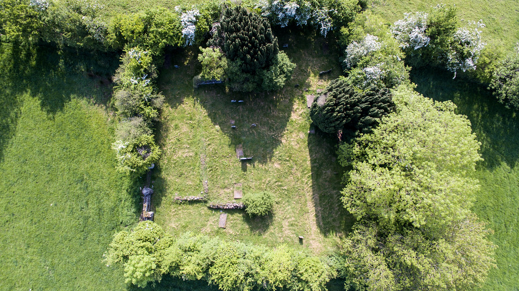
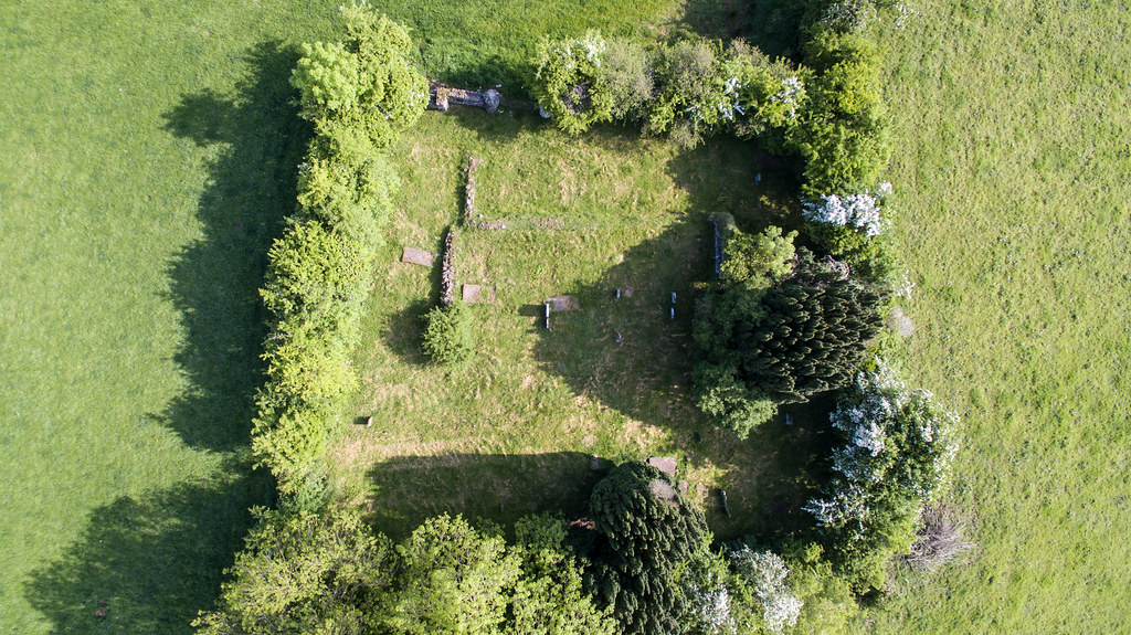
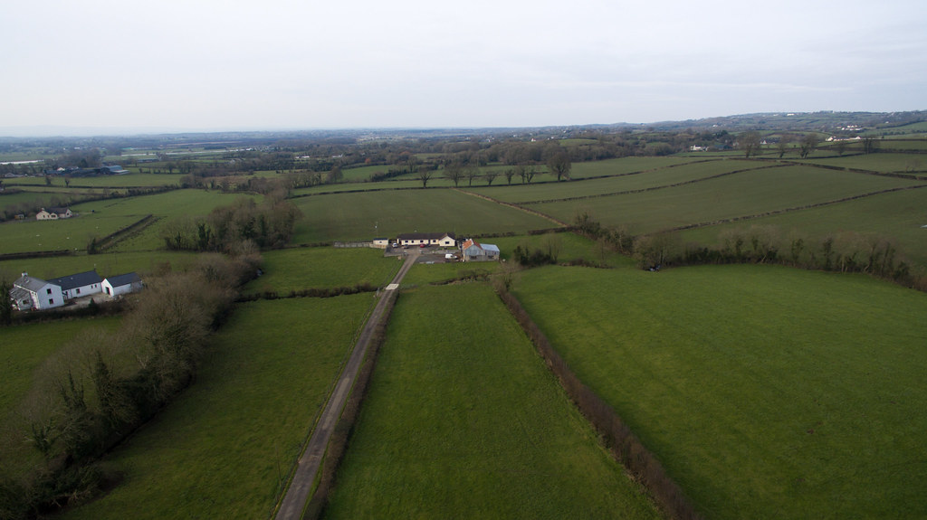
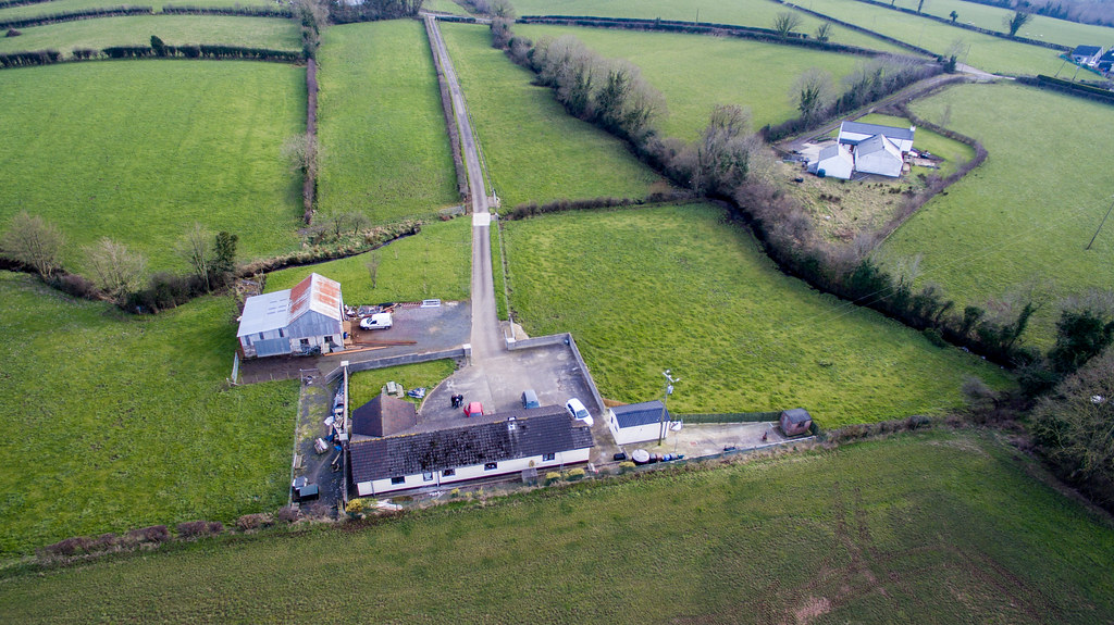
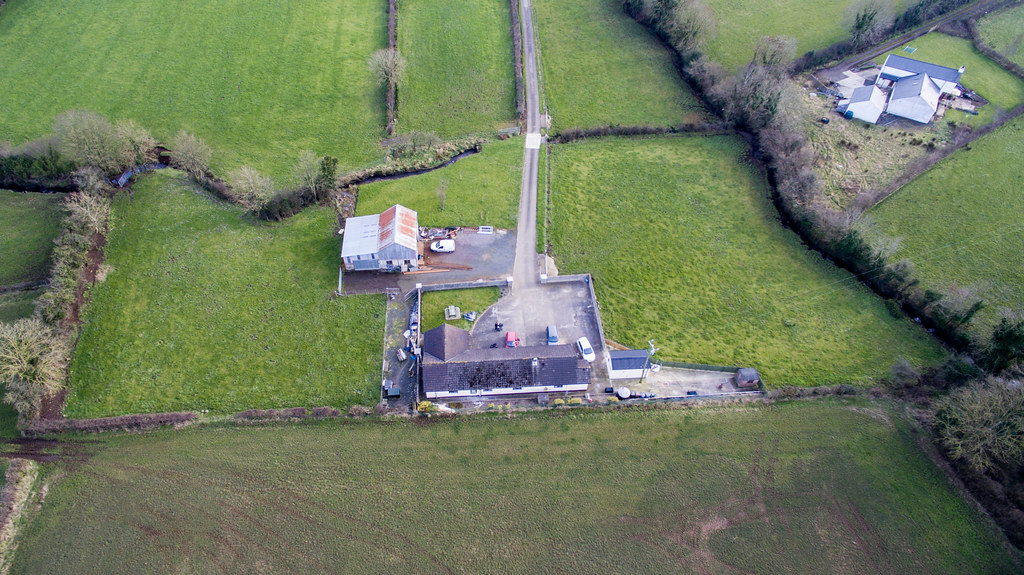
Maghera from the Air

Maghera from the Air

Maghera from the Air
Maghera from the Air
Maghera from the Air
Aerial View Crosskeys

Maghera from the Air
Aerial View Crosskeys
Aerial View Crosskeys
Maghera from the Air
Maghera from the Air
Aerial View Crosskeys

Education Minister John O’Dowd pictured with a pupil as he visited Moneynick and Duneane Primary Schools in County Antrim
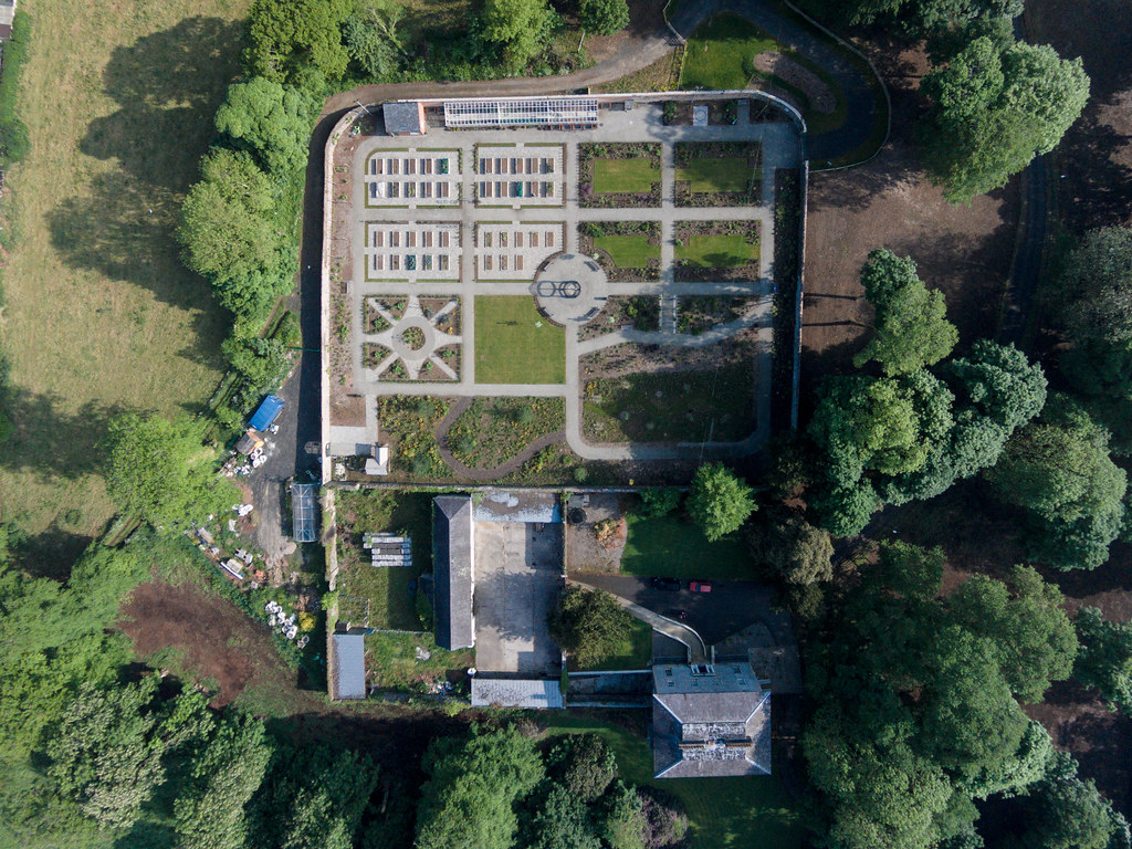
Maghera from the Air
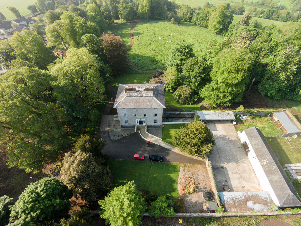
Maghera from the Air
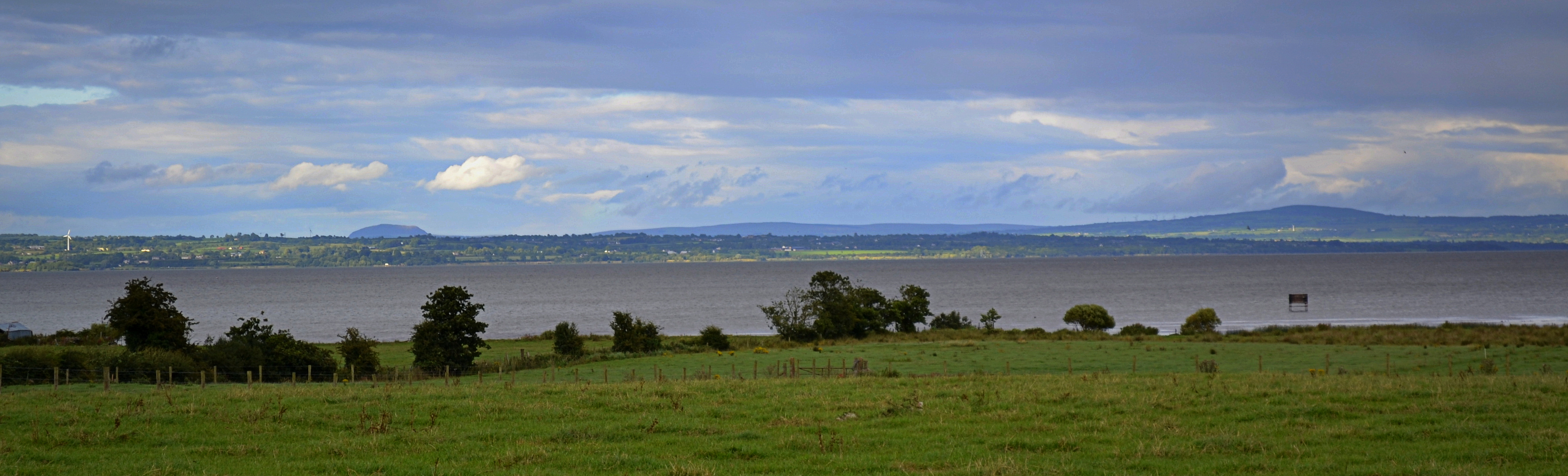
Across the Bann
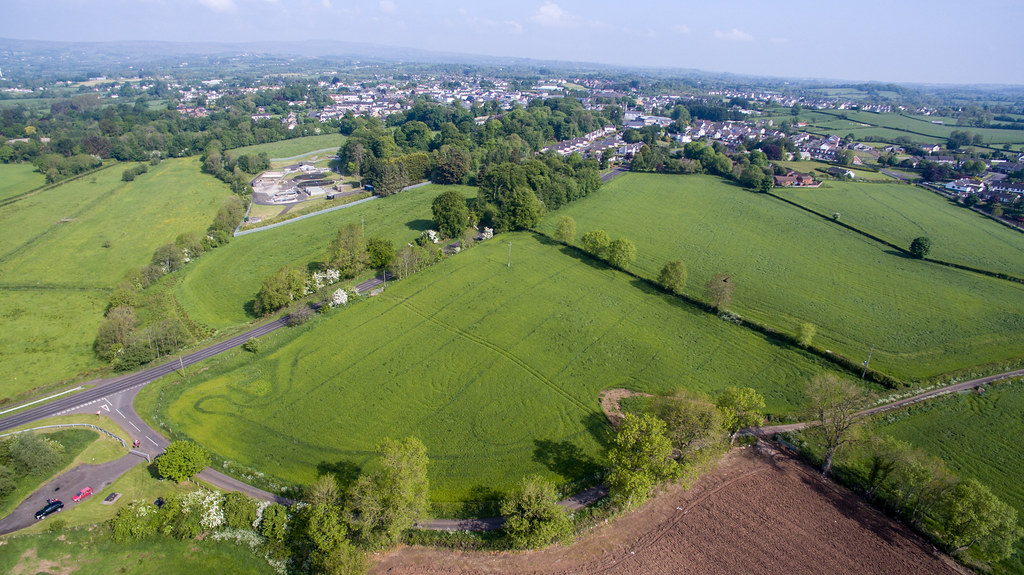
Maghera from the Air

Education Minister John O’Dowd pictured with Christopher Duffy of Moneynick PS, Danielle Foster of Duneane PS, Moneynick Principal Emer Hughes, PIEE Project Manager Frances Donnelly and Duneane Principal Donna Winters

the view from the pass
peek a boo

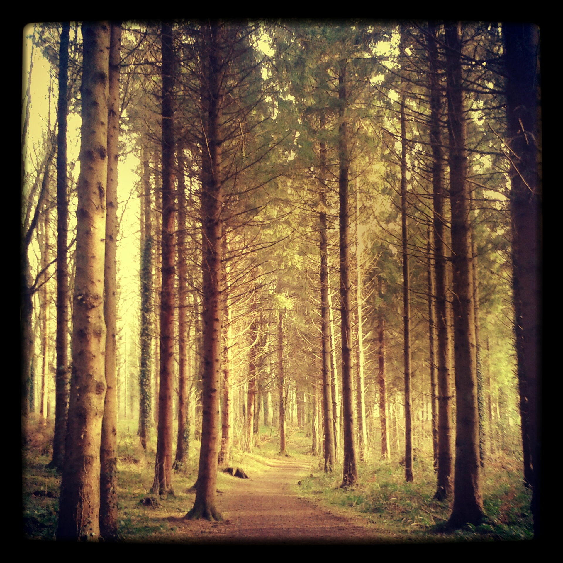
even in black & white the sun can split the trees
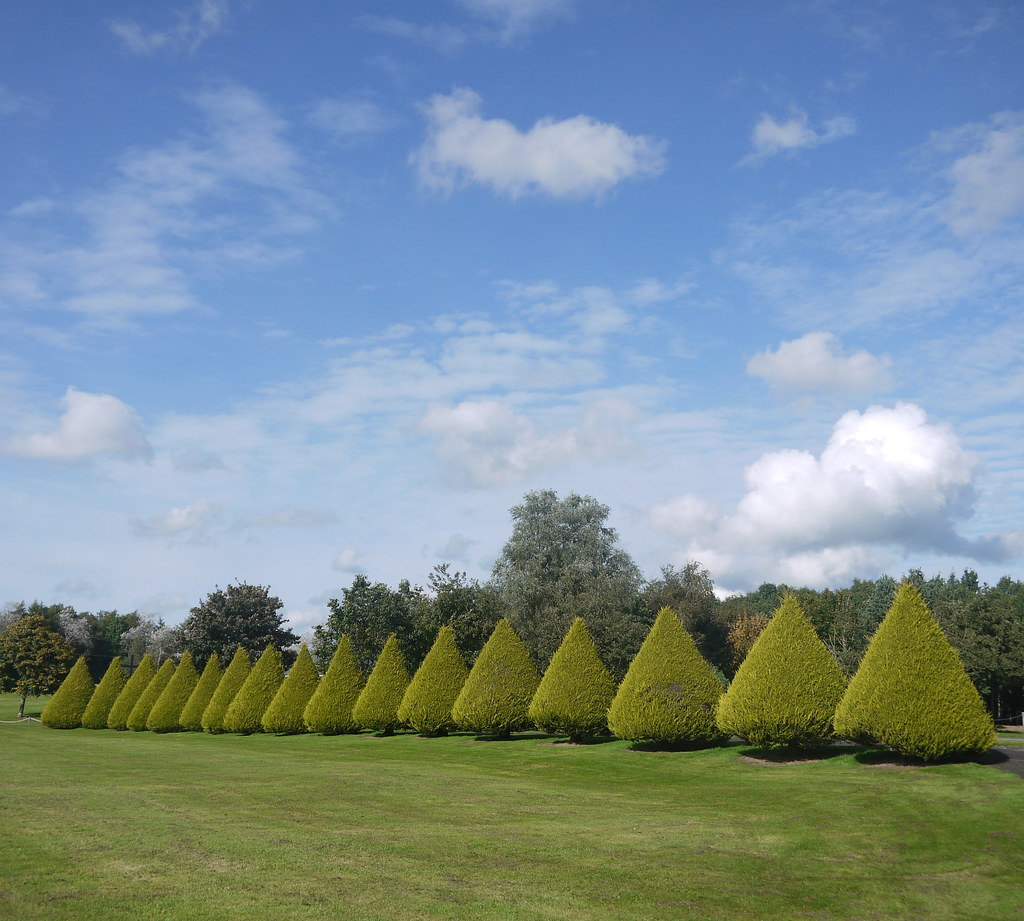
Green & Blue

Oi!!! Ewe With The Camera!!!

Ducks on Lough Neagh
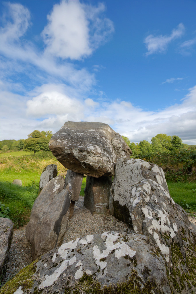
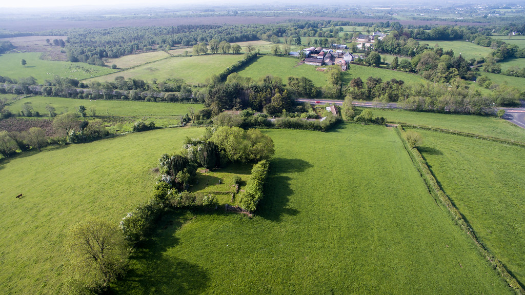
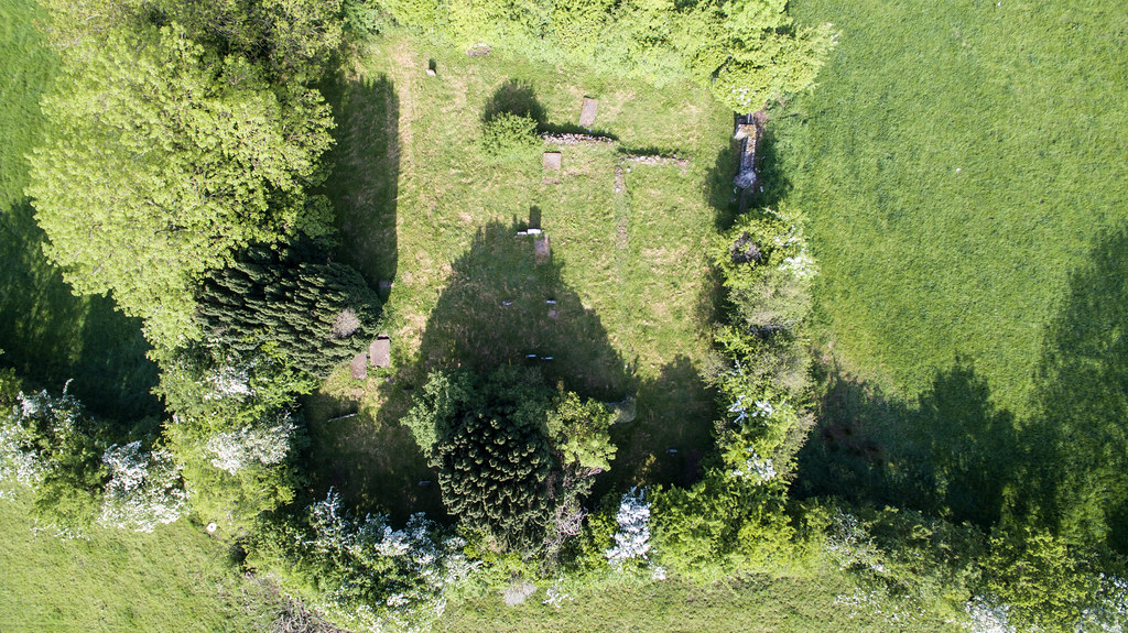
Tirnoney Portal Tomb

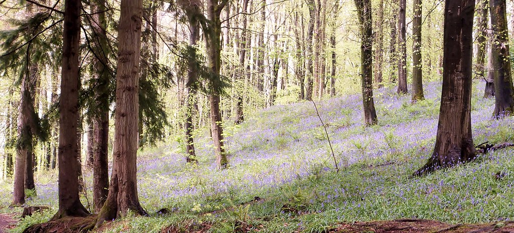
Sperrins landscape
Across to the Antrim Hills
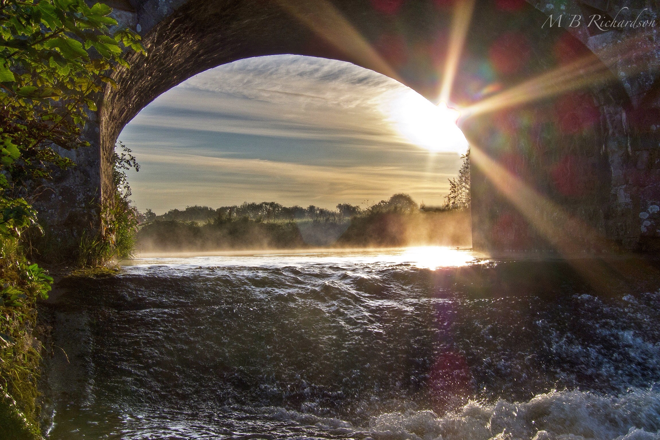
Through the bridge

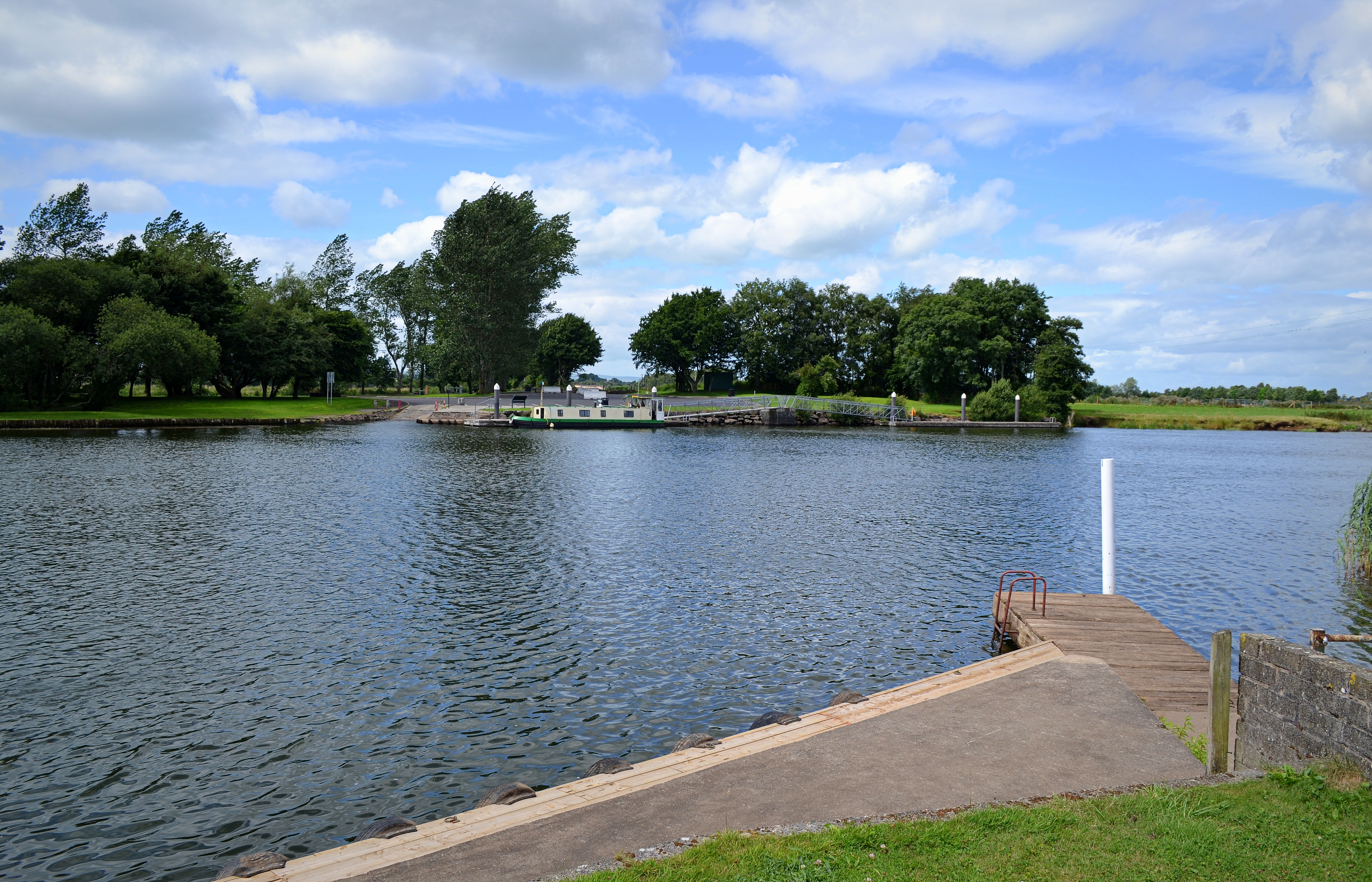
Sunrise on the lough

Mirror, Mirror

sparkling water

toome eel fishery
The Grass is...... Purple??

24/05/15

Perspectives pool at Springhill House

Beautiful Donegal

North Atlantic

#lough #loughshore #landscape #loughfea #sperrins #cookstown #northernireland #insta_norniron #sky #clouds #summer
Topographic Map of Magherafelt, UK
Find elevation by address:

Places in Magherafelt, UK:
Places near Magherafelt, UK:
Bt45 8dg
Castledawson
25 Derrygarve Rd
Bt45 7qh
Northern Ireland
Bt45 7ye
Tullyboy Road
Tullyboy Road
Tullyboy Road
Toome
80 Fountain Rd
Cookstown
Mid Ulster
Coalisland
Lough Neagh
Edendork
Bannfoot
92 Ahoghill Rd
Derrytrasna
Randalstown
Recent Searches:
- Elevation of Elwyn Dr, Roanoke Rapids, NC, USA
- Elevation of Congressional Dr, Stevensville, MD, USA
- Elevation of Bellview Rd, McLean, VA, USA
- Elevation of Stage Island Rd, Chatham, MA, USA
- Elevation of Shibuya Scramble Crossing, 21 Udagawacho, Shibuya City, Tokyo -, Japan
- Elevation of Jadagoniai, Kaunas District Municipality, Lithuania
- Elevation of Pagonija rock, Kranto 7-oji g. 8"N, Kaunas, Lithuania
- Elevation of Co Rd 87, Jamestown, CO, USA
- Elevation of Tenjo, Cundinamarca, Colombia
- Elevation of Côte-des-Neiges, Montreal, QC H4A 3J6, Canada