Elevation of Magadi, Kenya
Location: Kenya > Kajiado County >
Longitude: 36.301039
Latitude: -1.8996701
Elevation: 603m / 1978feet
Barometric Pressure: 94KPa
Elevation Map:
Satellite Map:
Related Photos:
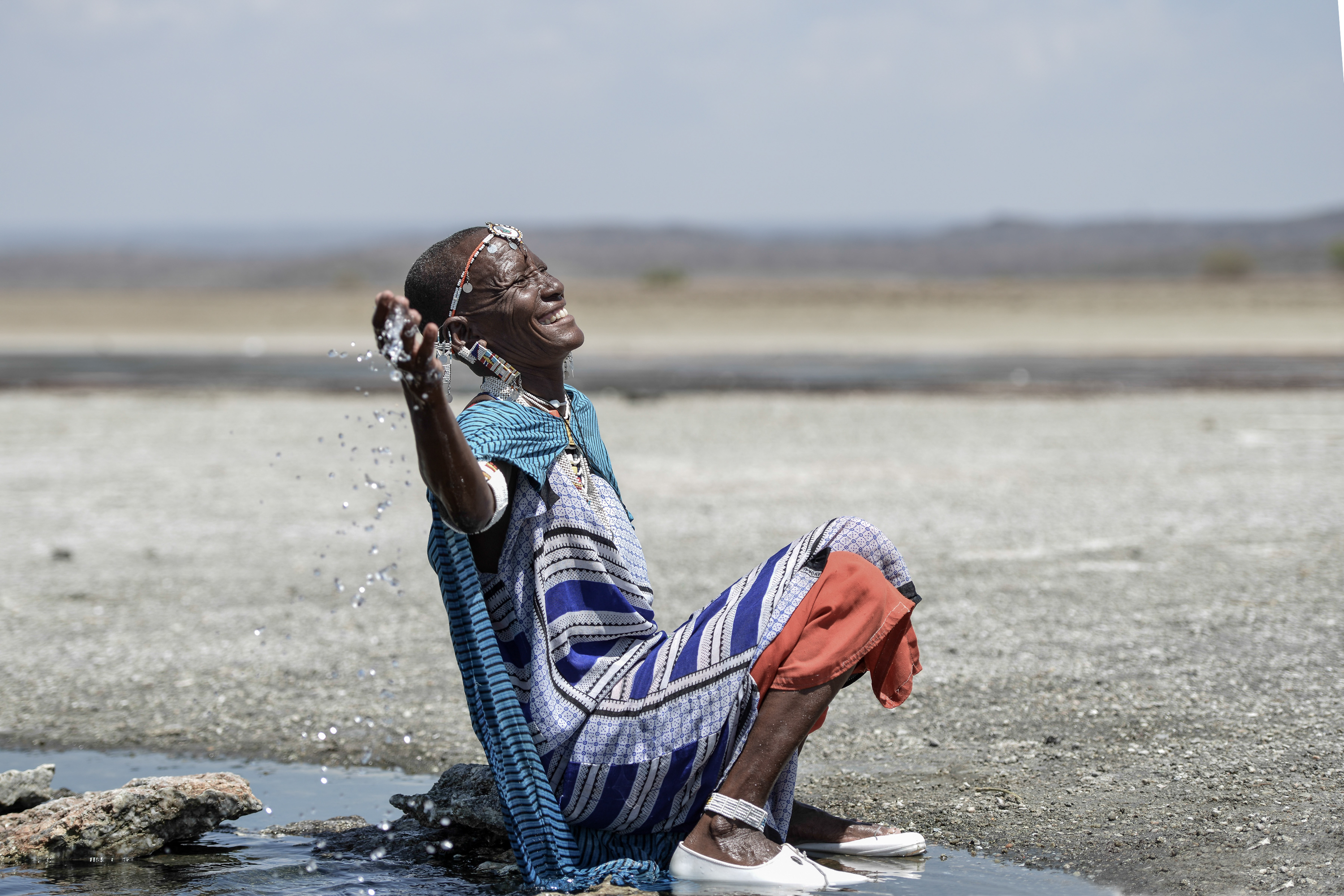
Magadi Springs
Never force yourself to have a...
Kenya - Lake Magadi
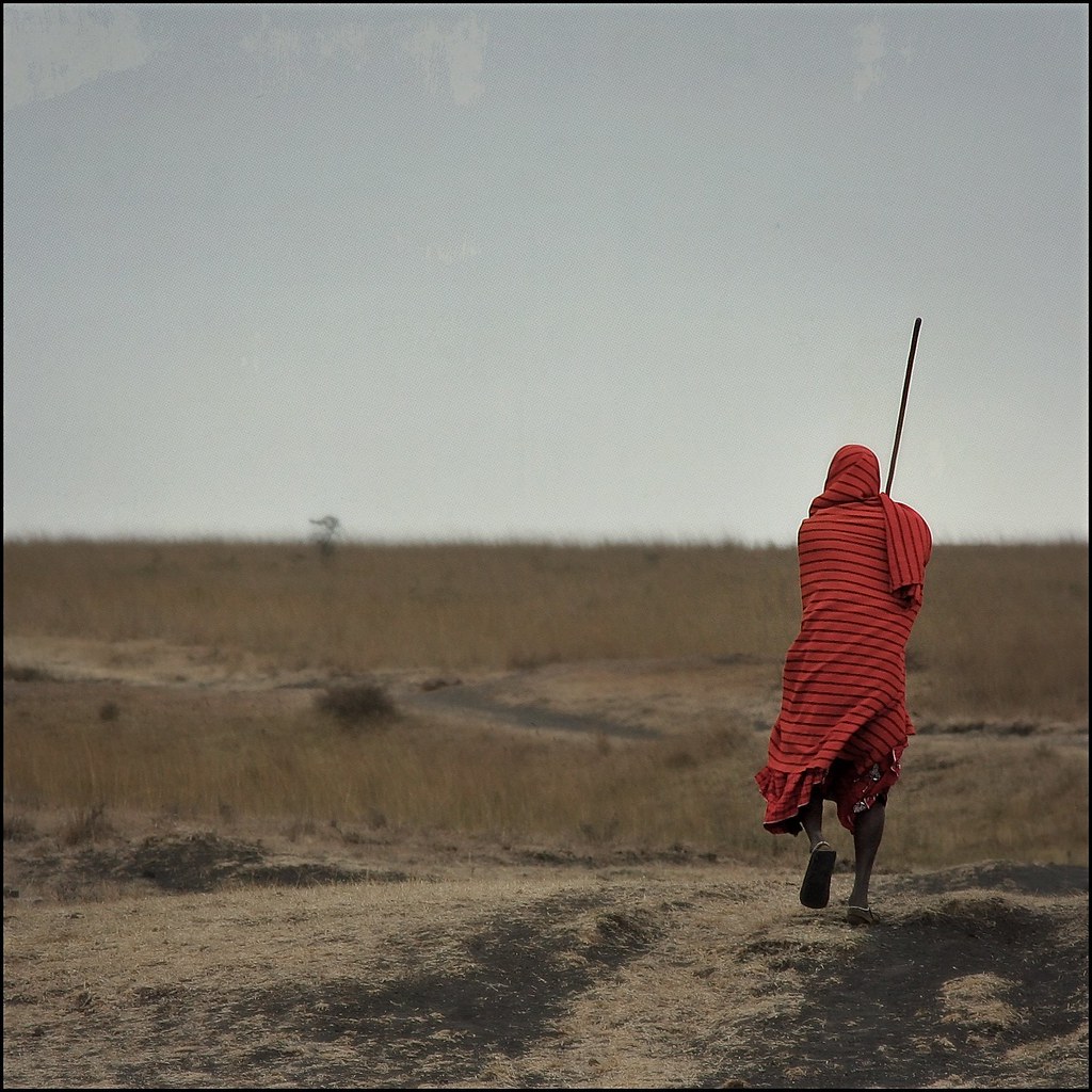
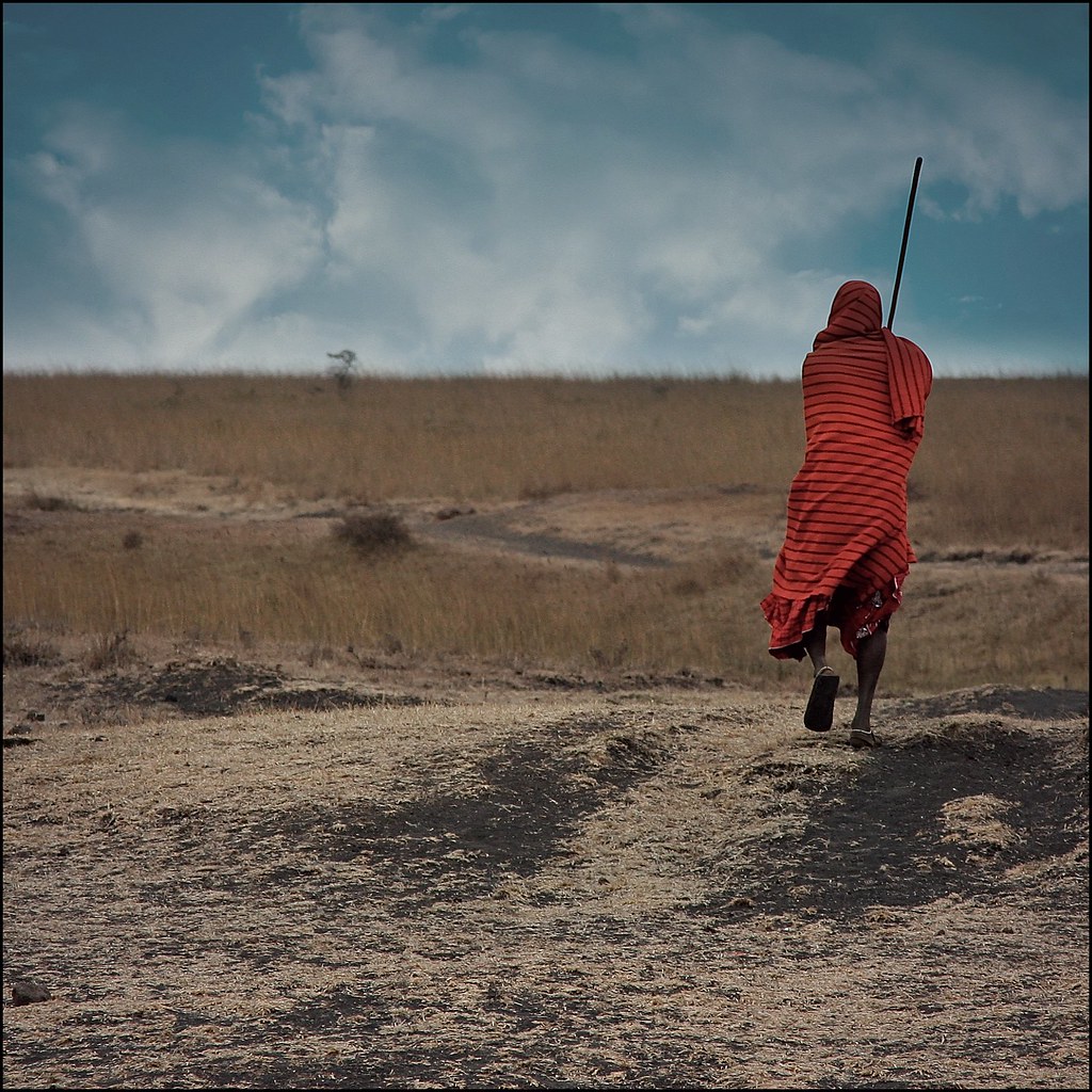
Going Home
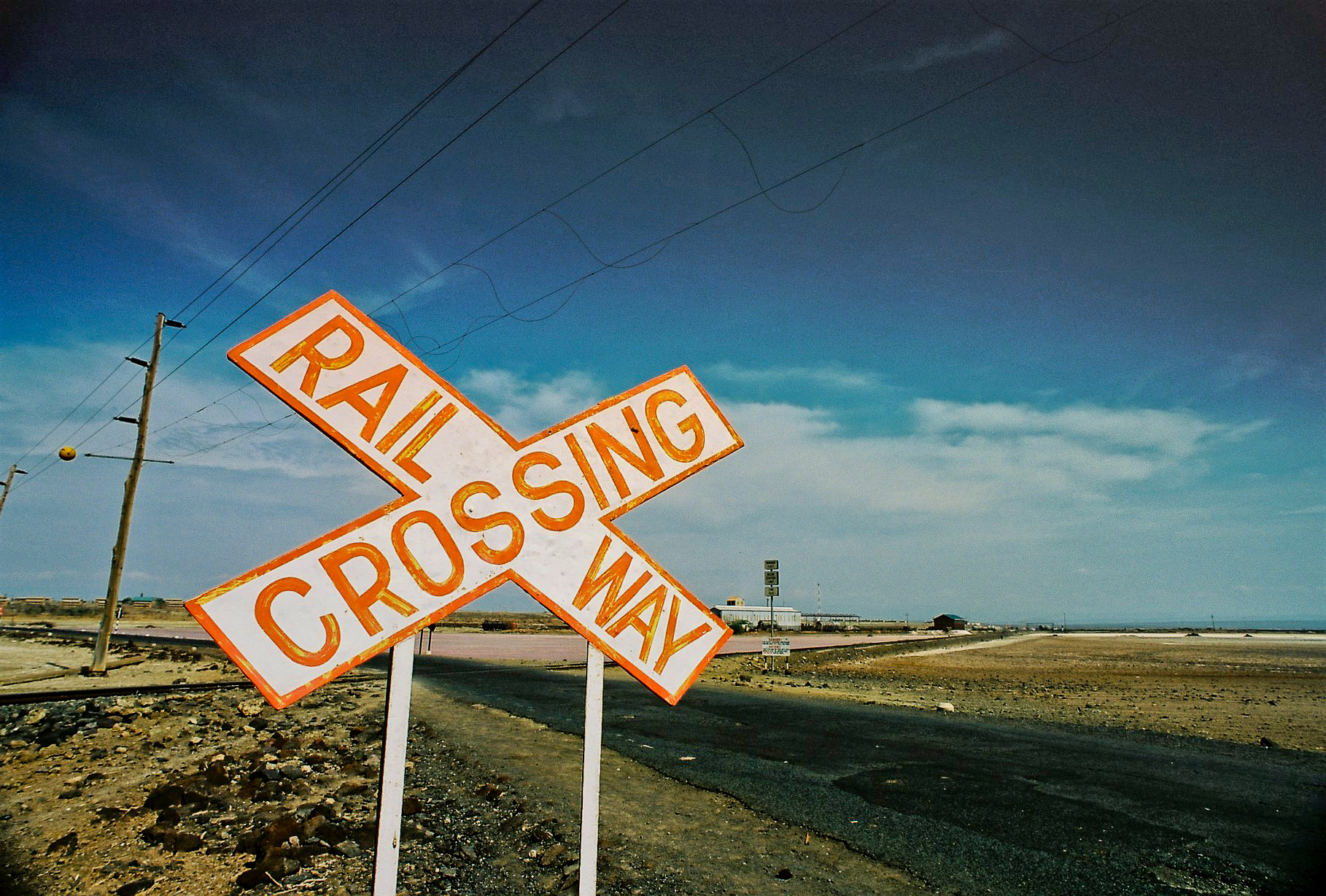
Rail Crossing
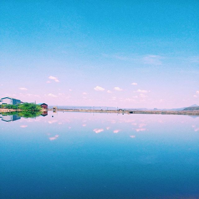
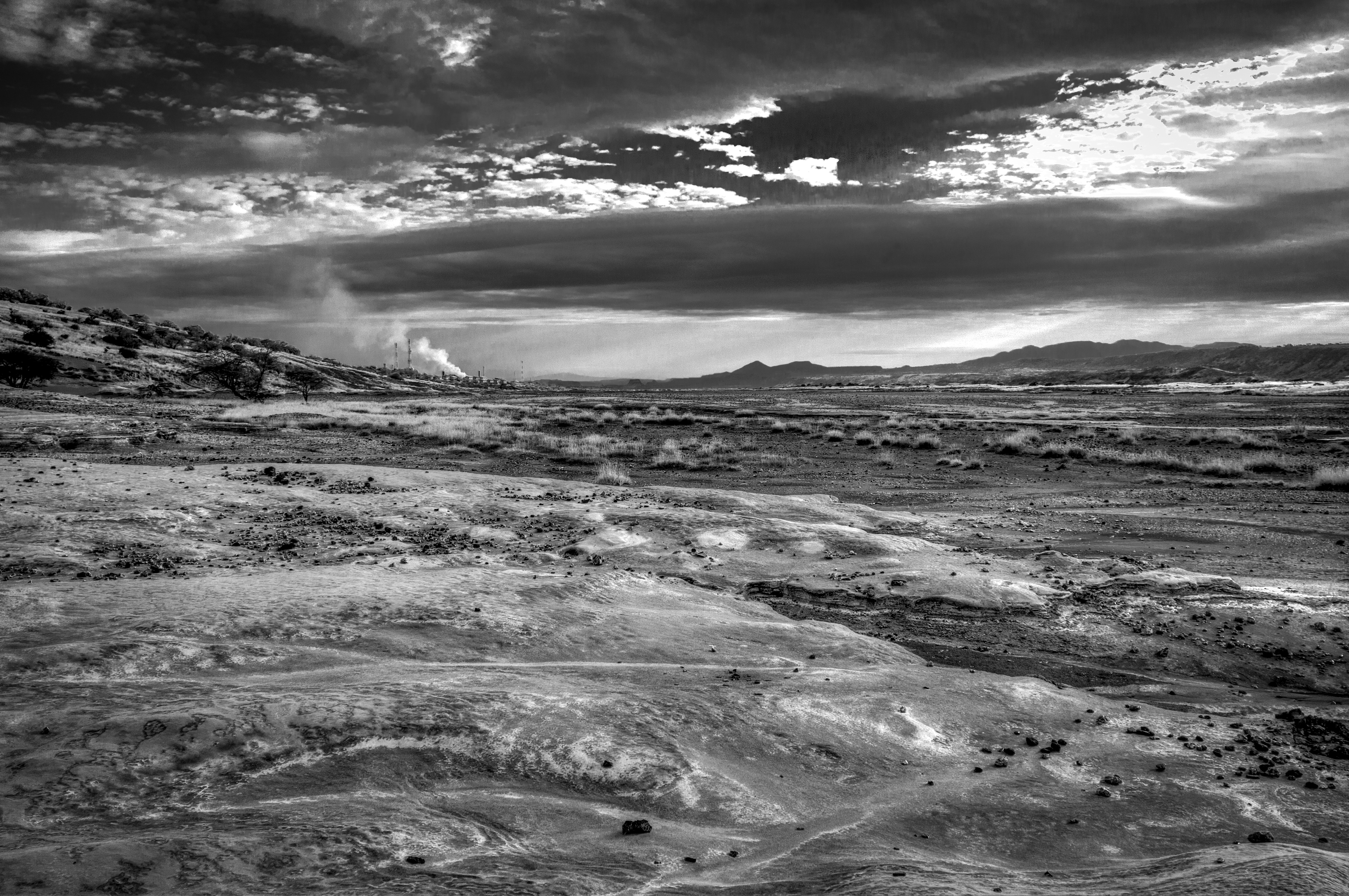
Lake Magadi never looked this good...
「You Will Never Know」
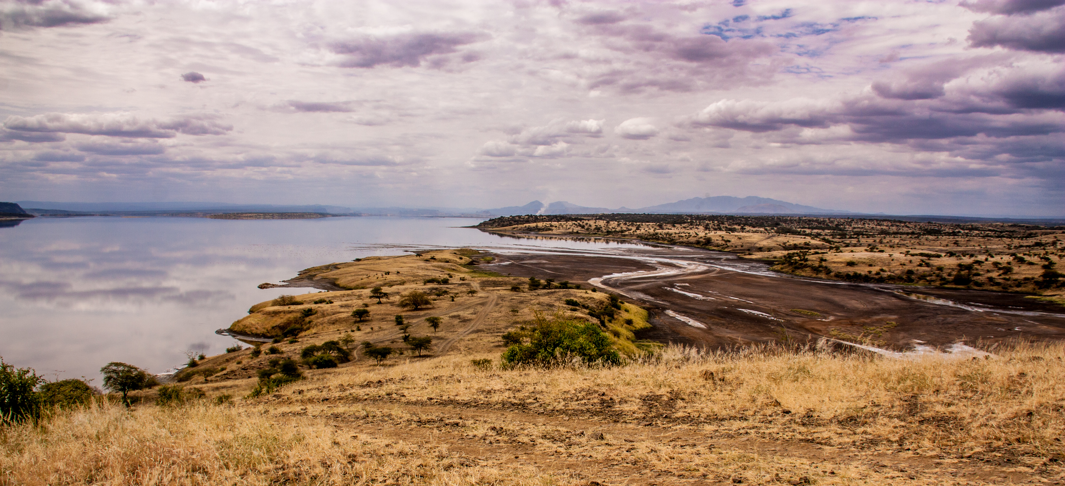
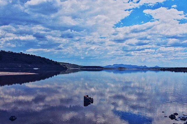
Kenya - Lake Magadi
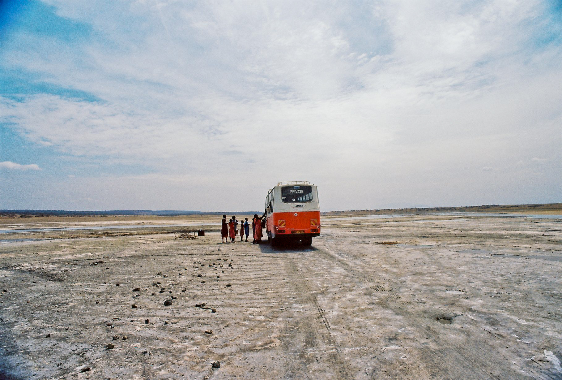
The Bus

IMG_5363 - Look Out Point

IMG_5363 - Look Out Point
Topographic Map of Magadi, Kenya
Find elevation by address:

Places near Magadi, Kenya:
Koora
Ole Seni
Oltepesi
Oldonyo Sambu
Lake Natron
Longido
Olarro
Arusha
Ol Doinyo Lengai
Nkoilale
Porini Mara Camp
Masai Mara National Reserve
Sarova Mara Game Camp - Masai Mara
Lobo Wildlife Lodge
Lobo Airstrip
Basecamp Masai Mara
Sekenani
Recent Searches:
- Elevation of Tenjo, Cundinamarca, Colombia
- Elevation of Côte-des-Neiges, Montreal, QC H4A 3J6, Canada
- Elevation of Bobcat Dr, Helena, MT, USA
- Elevation of Zu den Ihlowbergen, Althüttendorf, Germany
- Elevation of Badaber, Peshawar, Khyber Pakhtunkhwa, Pakistan
- Elevation of SE Heron Loop, Lincoln City, OR, USA
- Elevation of Slanický ostrov, 01 Námestovo, Slovakia
- Elevation of Spaceport America, Co Rd A, Truth or Consequences, NM, USA
- Elevation of Warwick, RI, USA
- Elevation of Fern Rd, Whitmore, CA, USA