Elevation of Madre Mountain, New Mexico, USA
Location: United States > New Mexico > Datil >
Longitude: -107.89088
Latitude: 34.2981126
Elevation: 2881m / 9452feet
Barometric Pressure: 71KPa
Elevation Map:
Satellite Map:
Related Photos:
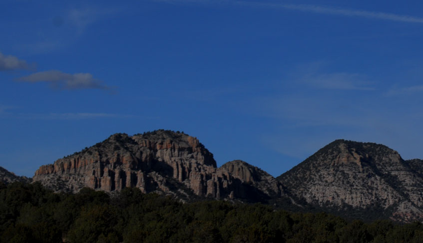
Near Continental Divide in New Mexico
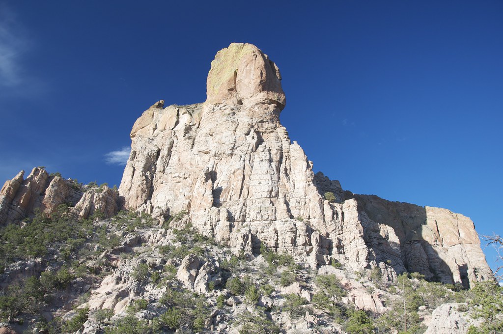
The Tower
Topographic Map of Madre Mountain, New Mexico, USA
Find elevation by address:

Places near Madre Mountain, New Mexico, USA:
Davenport Lookout
Sawtooth Mountains Hp
East Sugarloaf Mountain
Datil Well Campground
Datil
Anderson Mountain
Crosby Mountains Hp
Capital Dome
Blue Mesa
Cox Peak
Sugarloaf Mountain
Fawn Circle
Jackrabbit Run
Bell Mountain
Pie Town
D Cross Mountain
Techado Mesa
End-o-trail
Horse Peak Road
Wallace Mesa Trail
Recent Searches:
- Elevation of Corso Fratelli Cairoli, 35, Macerata MC, Italy
- Elevation of Tallevast Rd, Sarasota, FL, USA
- Elevation of 4th St E, Sonoma, CA, USA
- Elevation of Black Hollow Rd, Pennsdale, PA, USA
- Elevation of Oakland Ave, Williamsport, PA, USA
- Elevation of Pedrógão Grande, Portugal
- Elevation of Klee Dr, Martinsburg, WV, USA
- Elevation of Via Roma, Pieranica CR, Italy
- Elevation of Tavkvetili Mountain, Georgia
- Elevation of Hartfords Bluff Cir, Mt Pleasant, SC, USA