Elevation of Madison, Huntsville, AR, USA
Location: United States > Arkansas > Madison County > Mill Creek Township >
Longitude: -93.764966
Latitude: 35.894671
Elevation: 554m / 1818feet
Barometric Pressure: 95KPa
Elevation Map:
Satellite Map:
Related Photos:
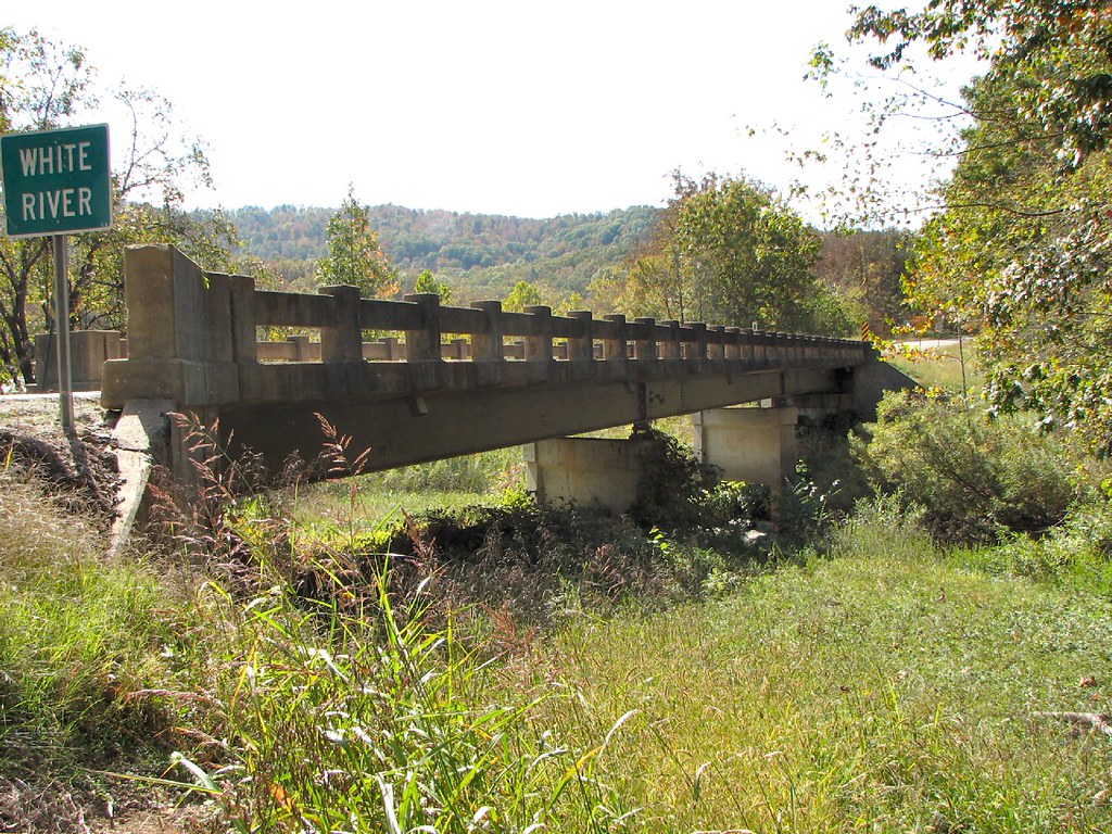
Side View-White River Bridge
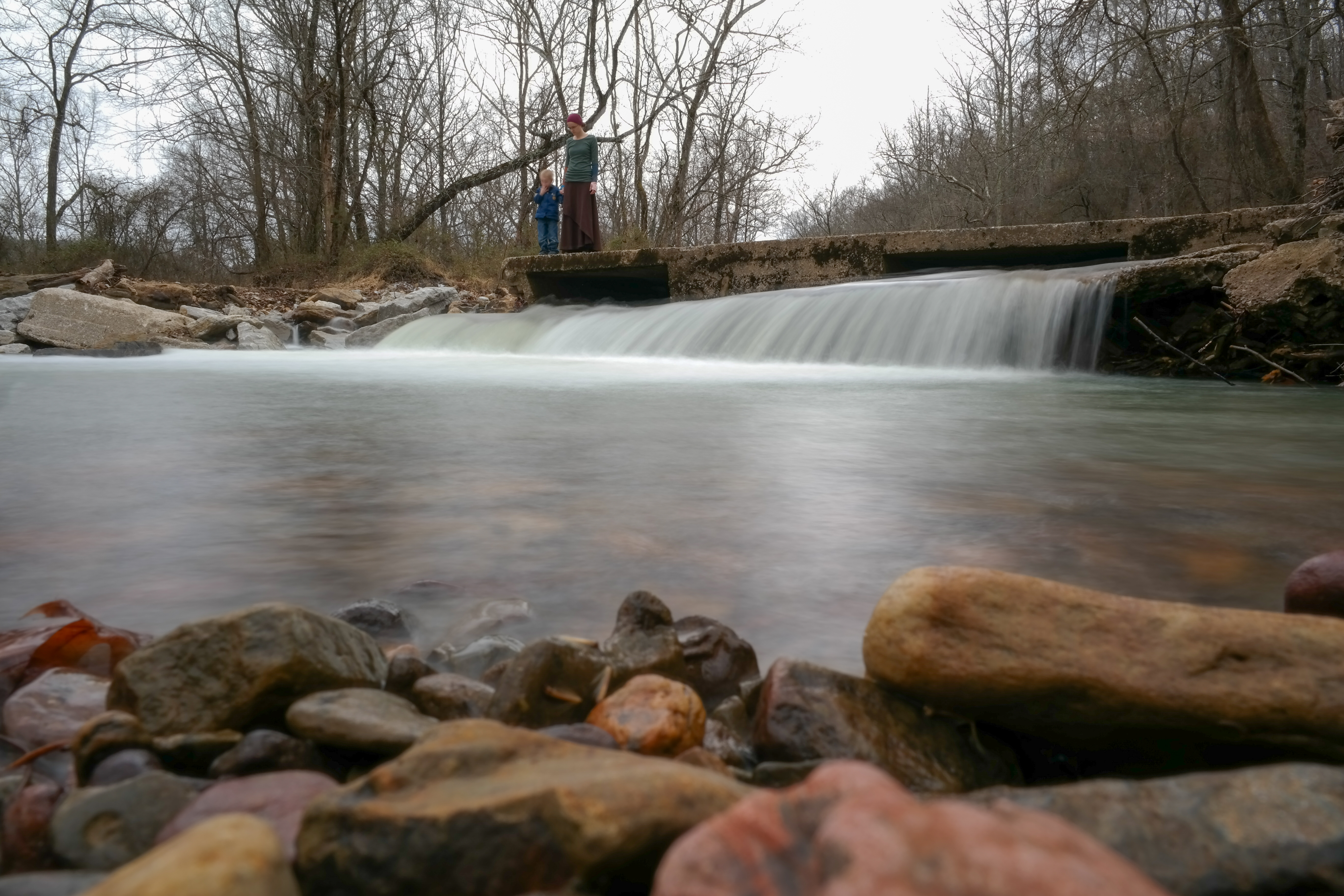
On Top of the Fall
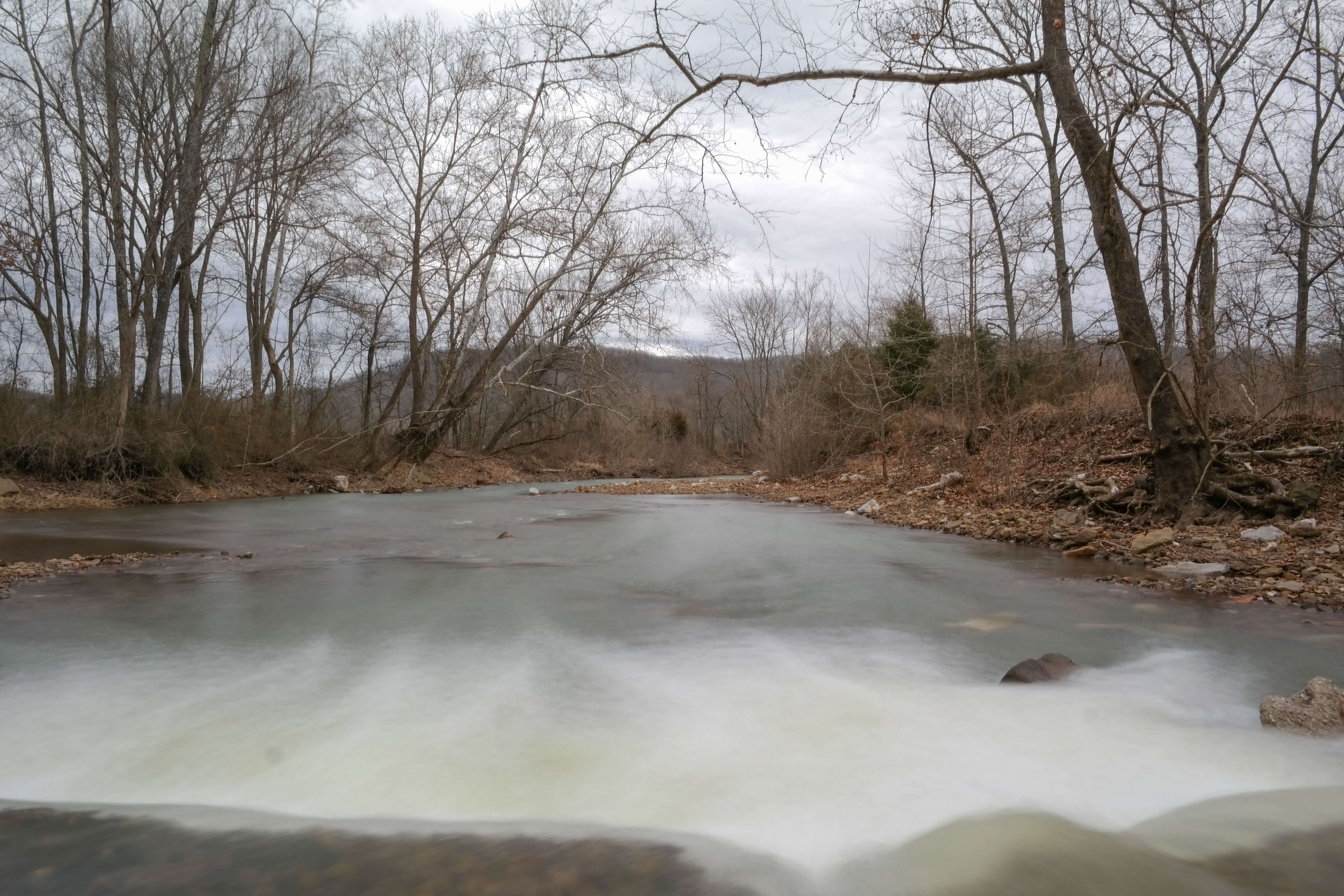
Snow Melt Long 2
Snow Melt Long
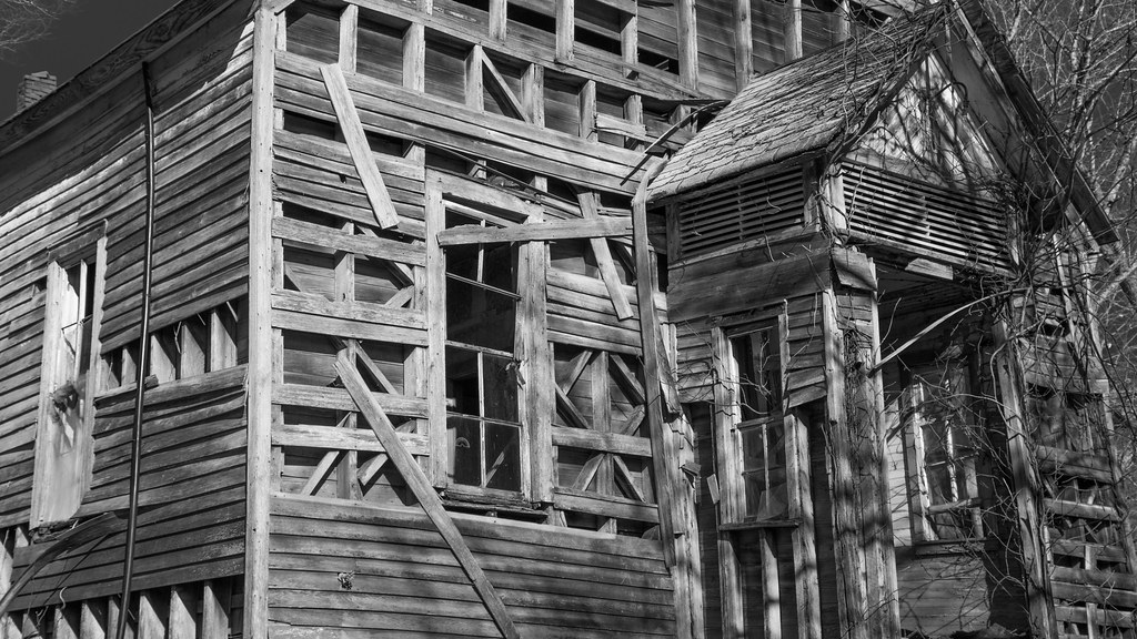
Abandoned church

Panel Truck near Witter Arkansas

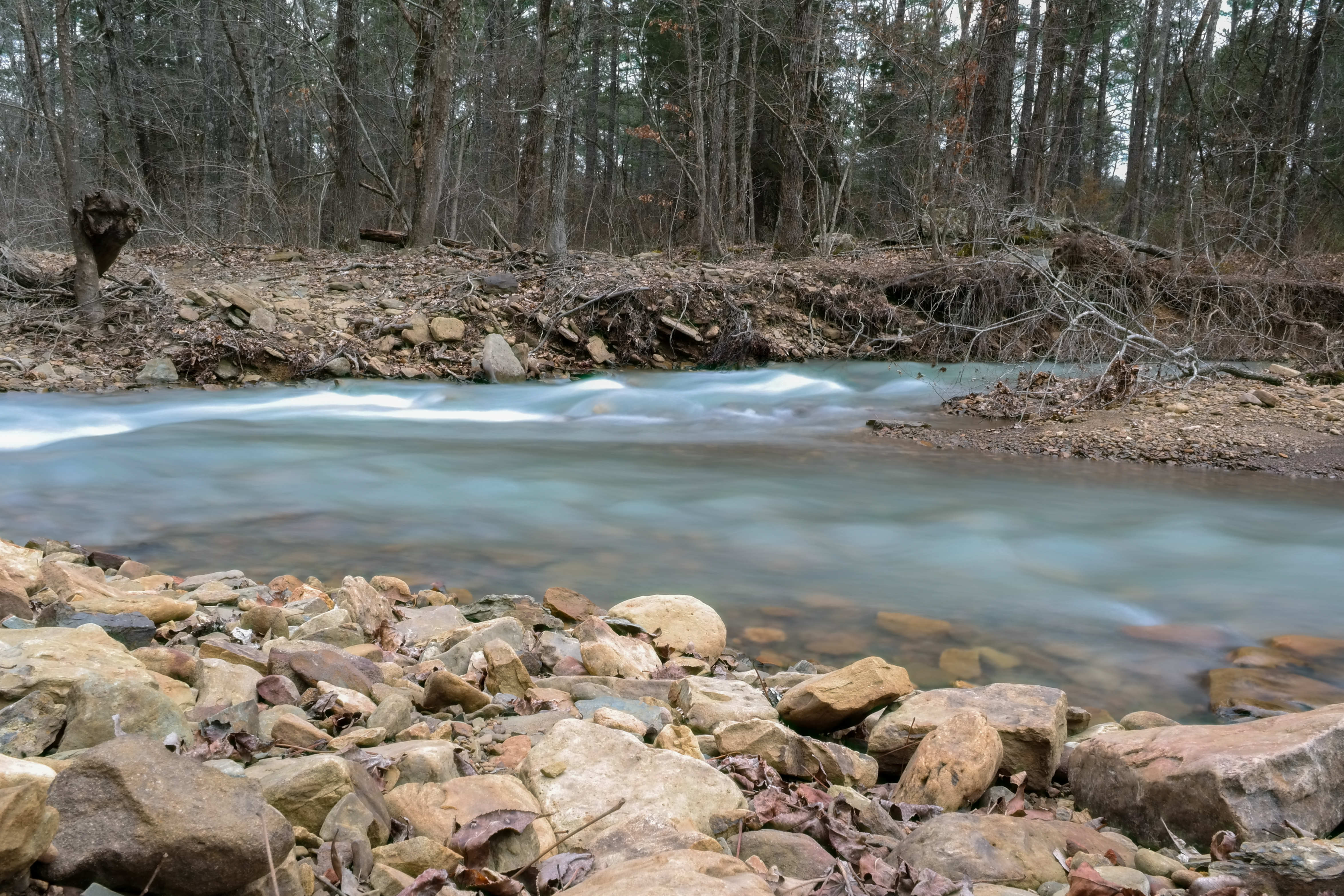
Snow Melt

Indians_at_stpaul 207

Indians_at_stpaul 206

Indians_at_stpaul 205

Indians_at_stpaul 204

Indians_at_stpaul 203

Indians_at_stpaul 202

Indians_at_stpaul 201

Indians_at_stpaul 200

Indians_at_stpaul 199
Indians_at_stpaul 198

Indians_at_stpaul 196
Indians_at_stpaul 197
Indians_at_stpaul 195

Indians_at_stpaul 194

Indians_at_stpaul 193
Topographic Map of Madison, Huntsville, AR, USA
Find elevation by address:

Places near Madison, Huntsville, AR, USA:
1328 Madison 5355
Lincoln Township
10244 Madison 5395
10244 Madison 5395
Japton Township
211 Madison 6381
AR-23, Witter, AR, USA
Witter
Madison 3105
Bowen Township
Asher
Madison 5220
1361 Madison 3235
277 Madison 3235
AR-, Wesley, AR, USA
Madison County
Aurora
AR-23, Huntsville, AR, USA
Richland Township
7616 Madison 3345
Recent Searches:
- Elevation of Estates Loop, Priest River, ID, USA
- Elevation of Woodland Oak Pl, Thousand Oaks, CA, USA
- Elevation of Brownsdale Rd, Renfrew, PA, USA
- Elevation of Corcoran Ln, Suffolk, VA, USA
- Elevation of Mamala II, Sariaya, Quezon, Philippines
- Elevation of Sarangdanda, Nepal
- Elevation of 7 Waterfall Way, Tomball, TX, USA
- Elevation of SW 57th Ave, Portland, OR, USA
- Elevation of Crocker Dr, Vacaville, CA, USA
- Elevation of Pu Ngaol Community Meeting Hall, HWHM+3X7, Krong Saen Monourom, Cambodia