Elevation of Madera, CA, USA
Location: United States > California > Madera County >
Longitude: -120.06071
Latitude: 36.9613356
Elevation: 83m / 272feet
Barometric Pressure: 100KPa
Elevation Map:
Satellite Map:
Related Photos:
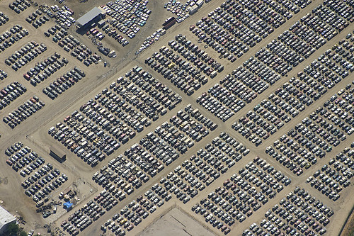
Aerial View Scrap Yard
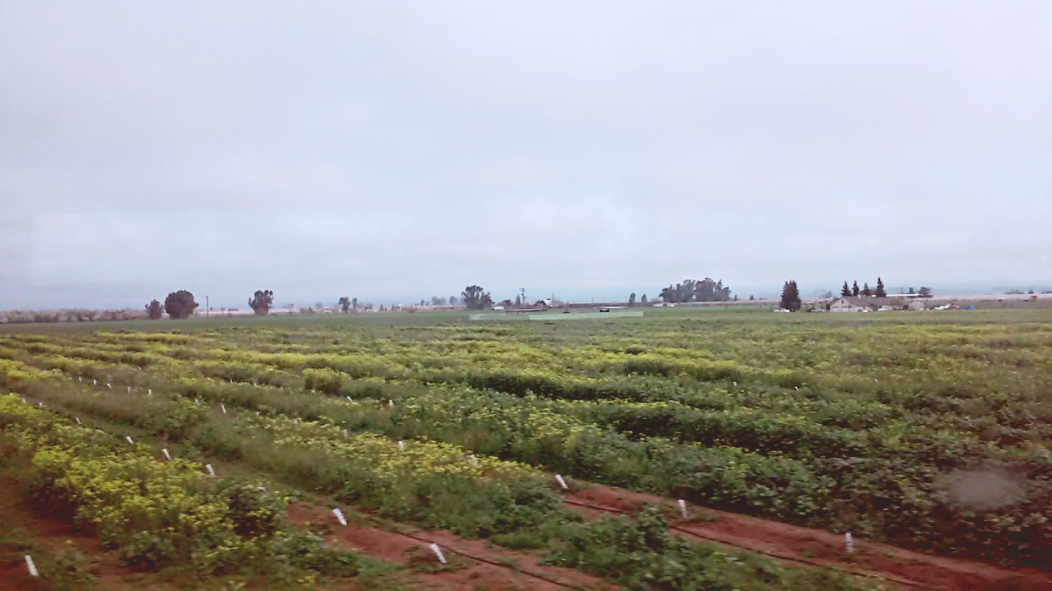
On the way to San Francisco
#sunrise #dawn #chemtrails

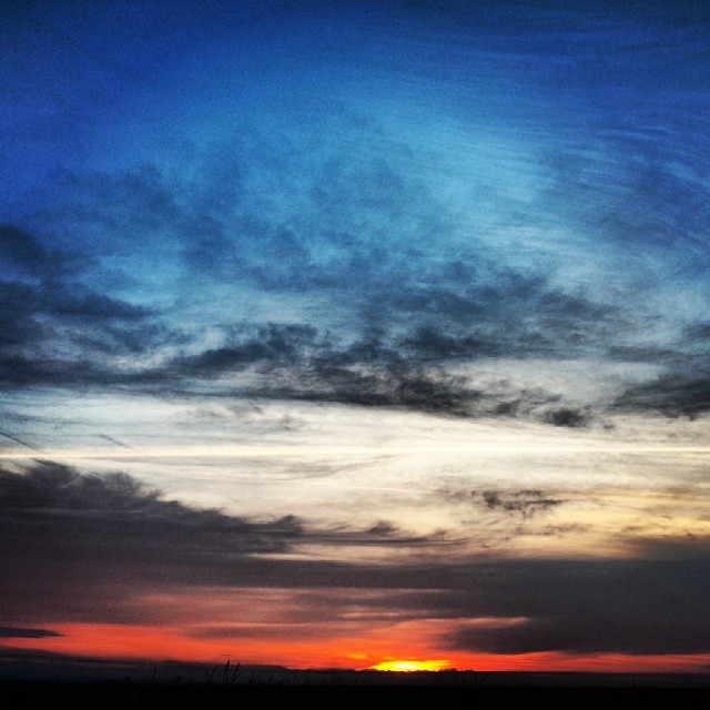
#sunset

2012-12-30 15.30.54
.......... 435
#waterfall #yosemite #hiking #landscape #california
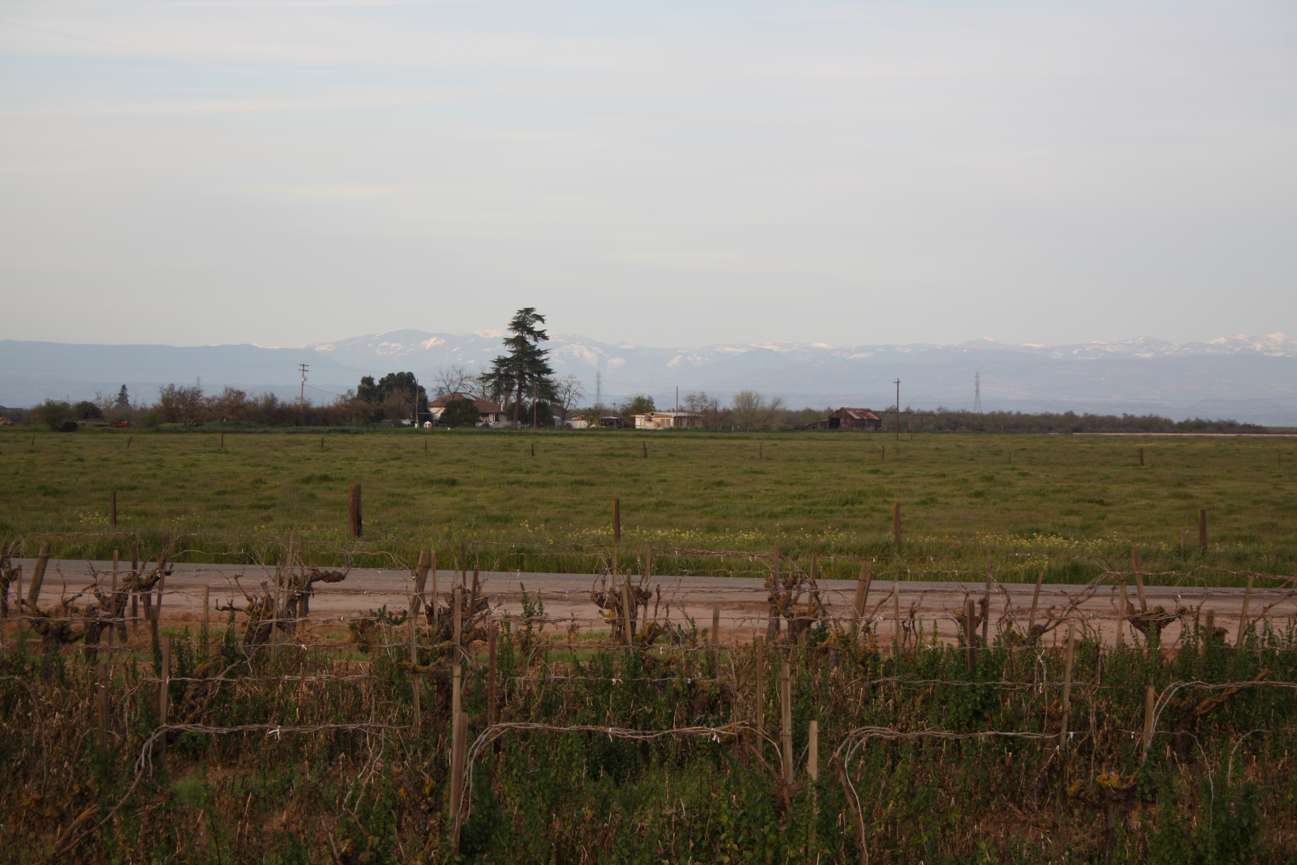
grape vines
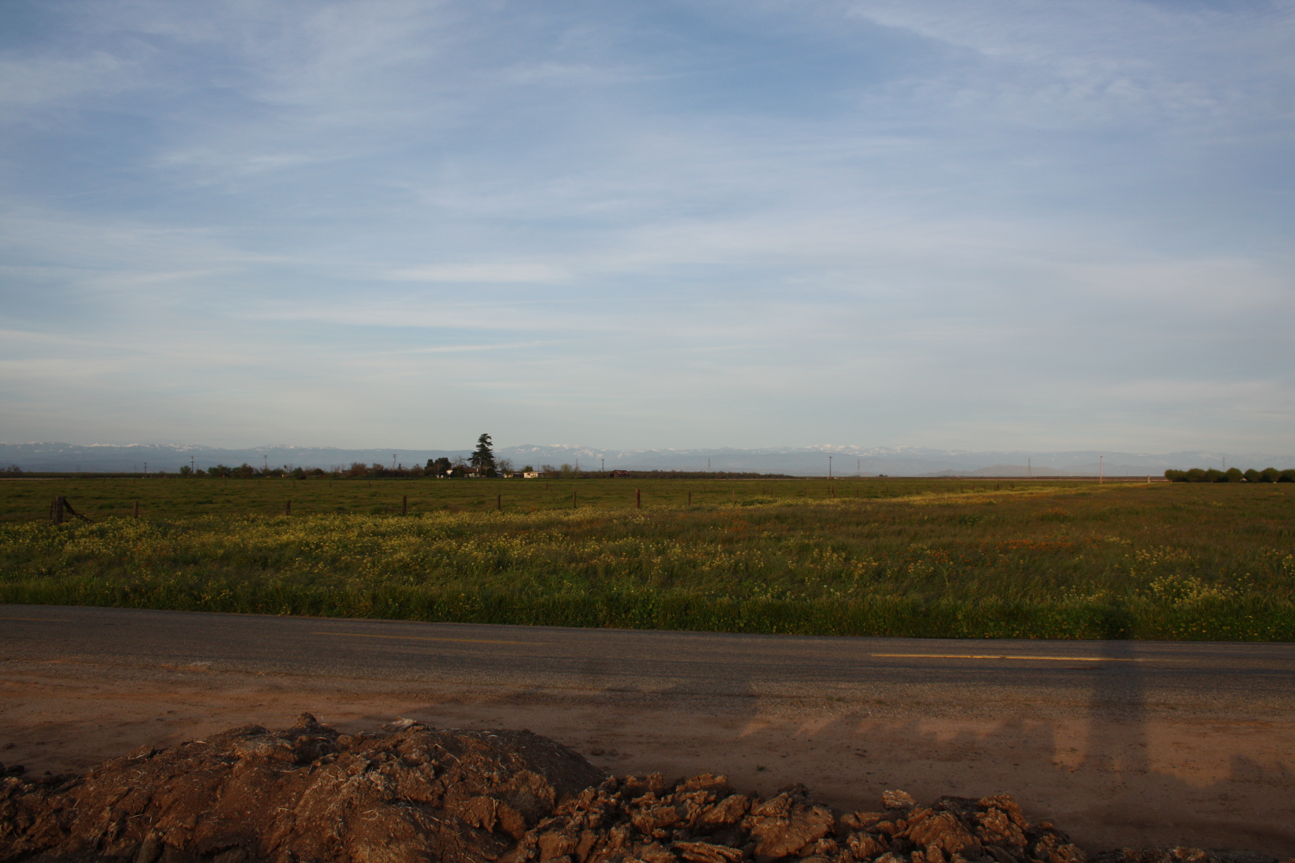
#sunrise
_IGP5925_Skaggs-Bridge-Park_Fresno-Co

Near Fresno Sun Set
.......... 433
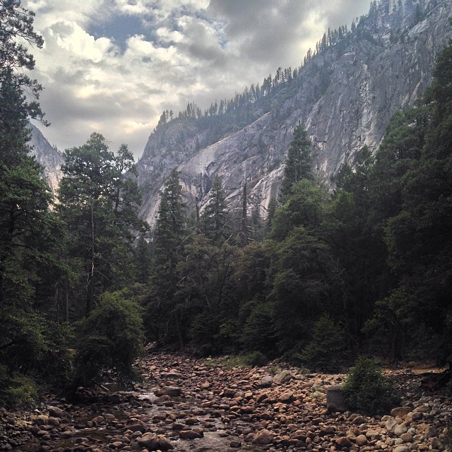
#yosemite #hiking #landscape #california
.......... 432
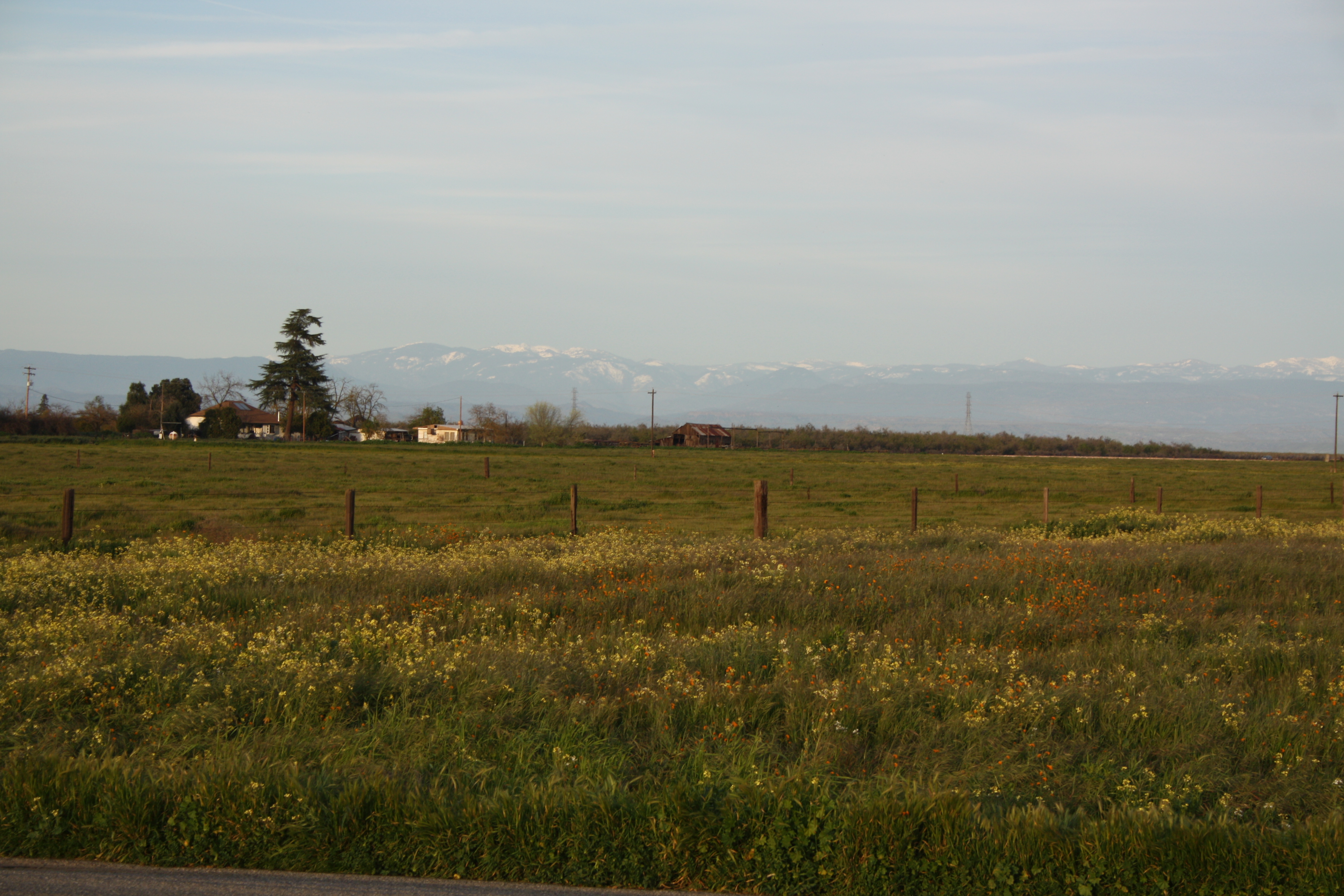
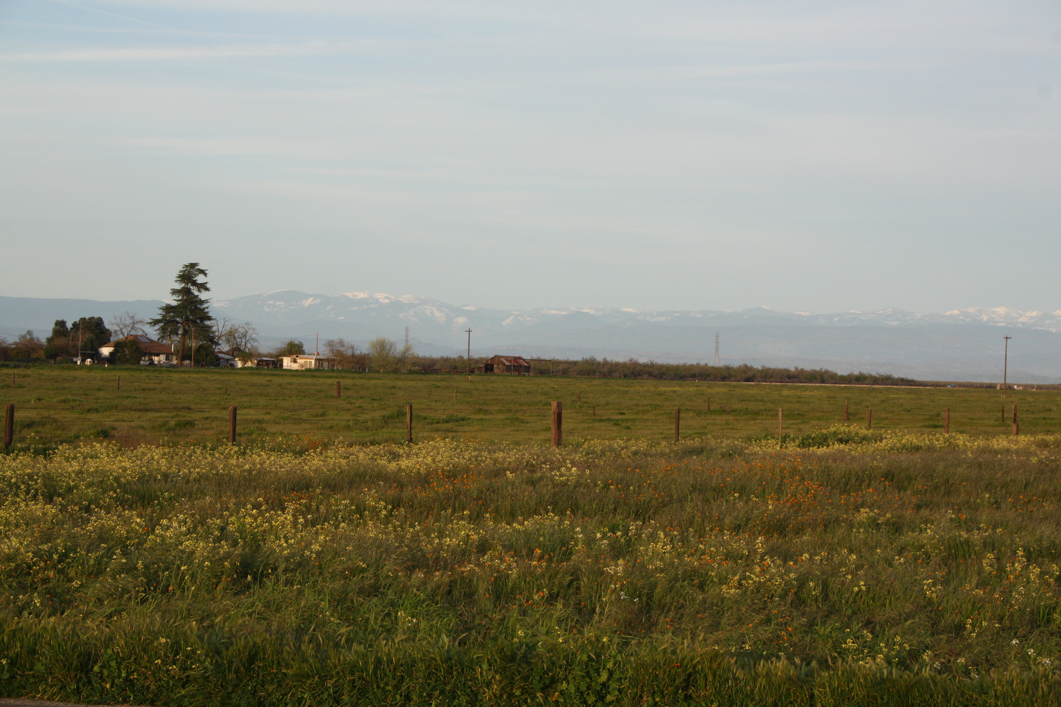
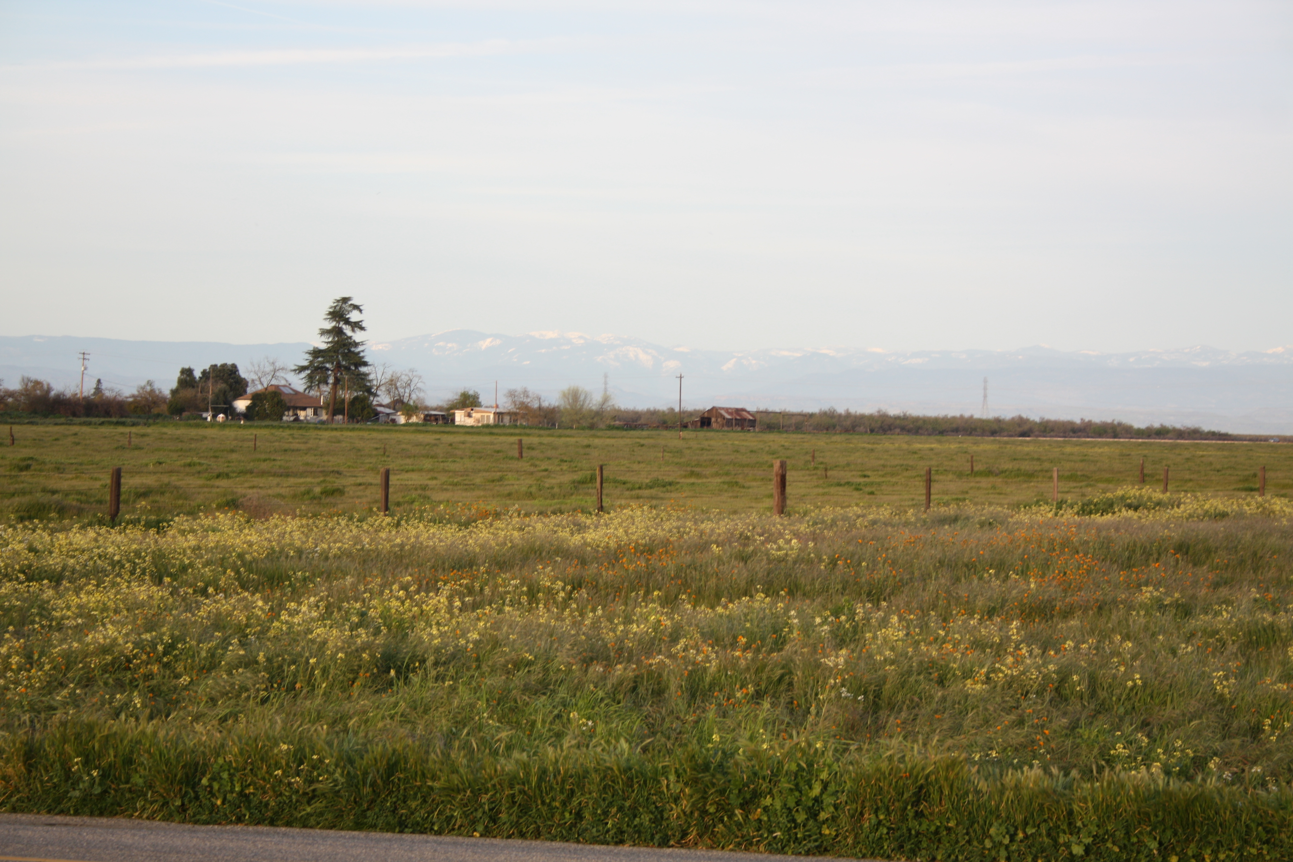
HDR Vista-Madera, CA
.......... 446
Madera skyline
.......... 438
.......... 434
.......... 439
860152-R1-17-18
Topographic Map of Madera, CA, USA
Find elevation by address:

Places in Madera, CA, USA:
River Estate Dr, Madera, CA, USA
Rd, Madera, CA, USA
Ave 9, Madera, CA, USA
CA-99, Madera, CA, USA
Road 26
Donald Ave, Madera, CA, USA
Huntington Rd, Madera, CA, USA
Ave 9, Madera, CA, USA
Rd 30 1/2, Madera, CA, USA
Fonda Ave, Madera, CA, USA
Gleason Dr, Madera, CA, USA
Ave 21 1/2, Madera, CA, USA
Places near Madera, CA, USA:
447 Chestnut Ave
2300 Riverview Dr
543 Sunnydale Ct
Parksdale
Wood St, Madera, CA, USA
CA-99, Madera, CA, USA
17586 Lane Dr
Fonda Ave, Madera, CA, USA
18643 Norwalk Dr
18725 Rd 25 1/2
10636 Rd 25
Road 26
Donald Ave, Madera, CA, USA
Ave 9, Madera, CA, USA
21196 Road 29
Rd 30 1/2, Madera, CA, USA
Ave 21 1/2, Madera, CA, USA
21196 Rd 30
Ave 9, Madera, CA, USA
N Biola Ave, Fresno, CA, USA
Recent Searches:
- Elevation of Corso Fratelli Cairoli, 35, Macerata MC, Italy
- Elevation of Tallevast Rd, Sarasota, FL, USA
- Elevation of 4th St E, Sonoma, CA, USA
- Elevation of Black Hollow Rd, Pennsdale, PA, USA
- Elevation of Oakland Ave, Williamsport, PA, USA
- Elevation of Pedrógão Grande, Portugal
- Elevation of Klee Dr, Martinsburg, WV, USA
- Elevation of Via Roma, Pieranica CR, Italy
- Elevation of Tavkvetili Mountain, Georgia
- Elevation of Hartfords Bluff Cir, Mt Pleasant, SC, USA