Elevation of Macktown Gap Rd, Sylva, NC, USA
Location: United States > North Carolina > Jackson County > Dillsboro >
Longitude: -83.275023
Latitude: 35.3577207
Elevation: 762m / 2500feet
Barometric Pressure: 92KPa
Elevation Map:
Satellite Map:
Related Photos:
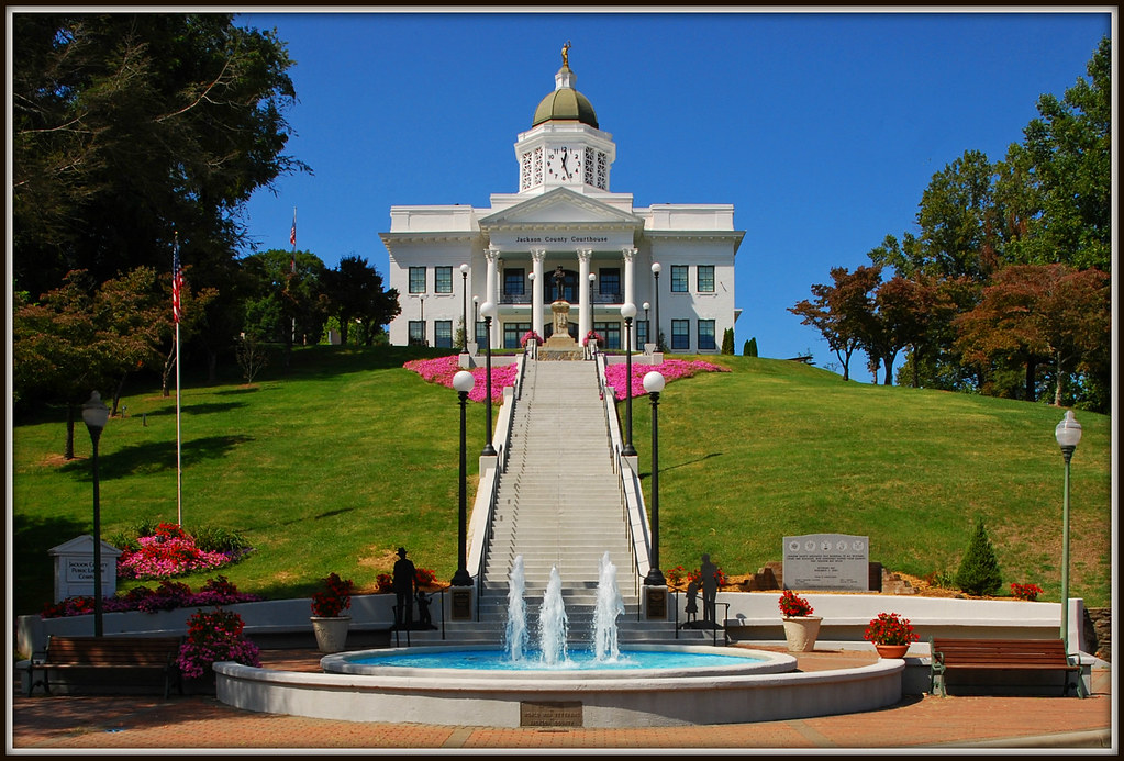
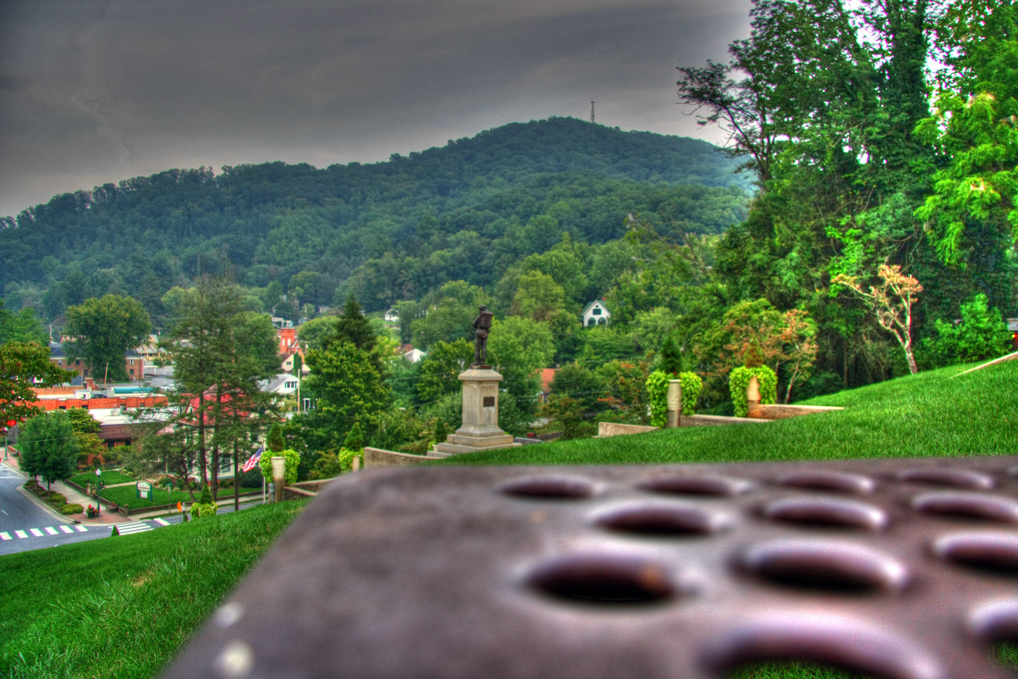
Jackson County Courthouse - Explore #170
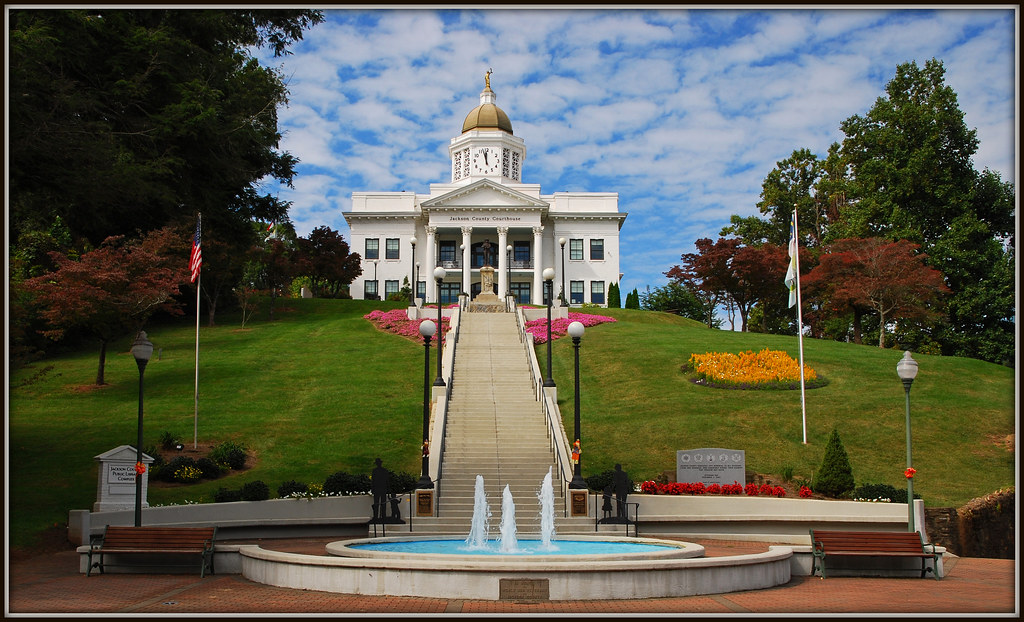
The Most Photographed Courthouse In North Carolina

Current view from our cabin
Picture-155
Gatlinburg 2013

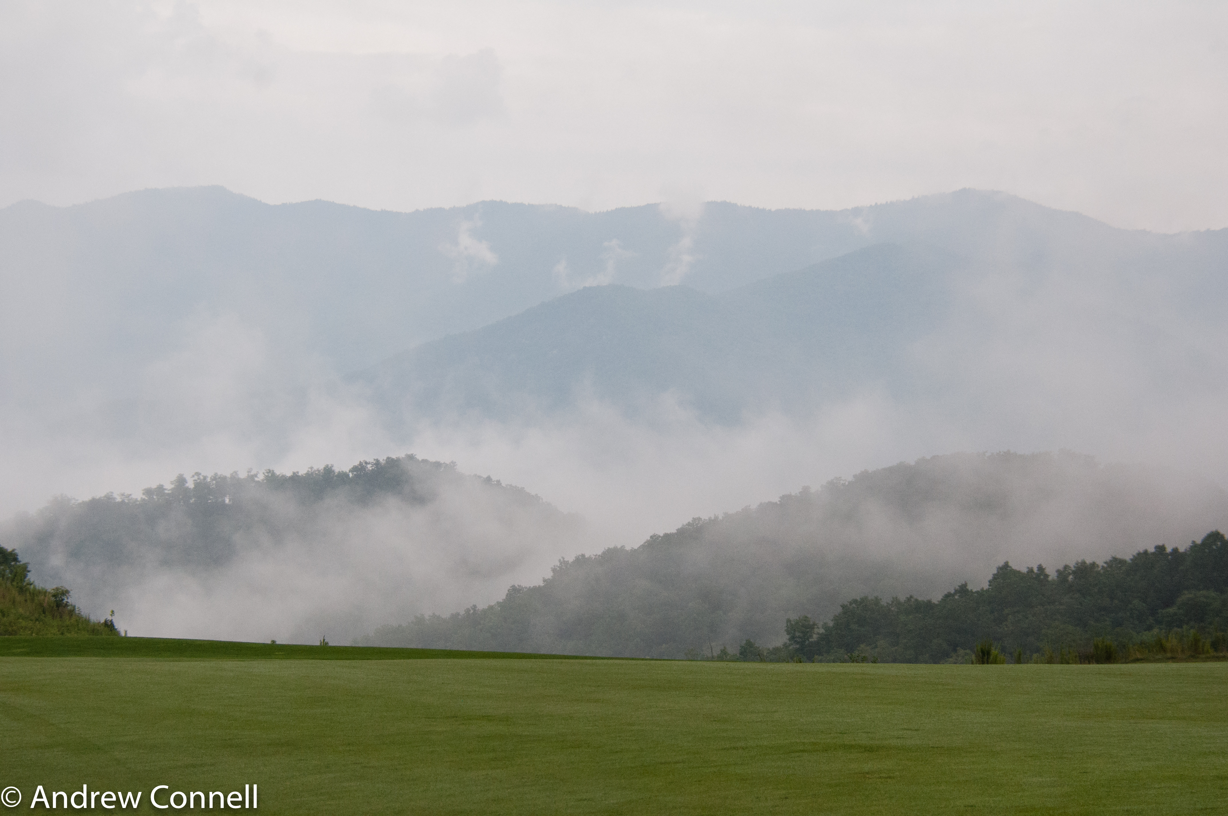
Steaming Toward Fontana
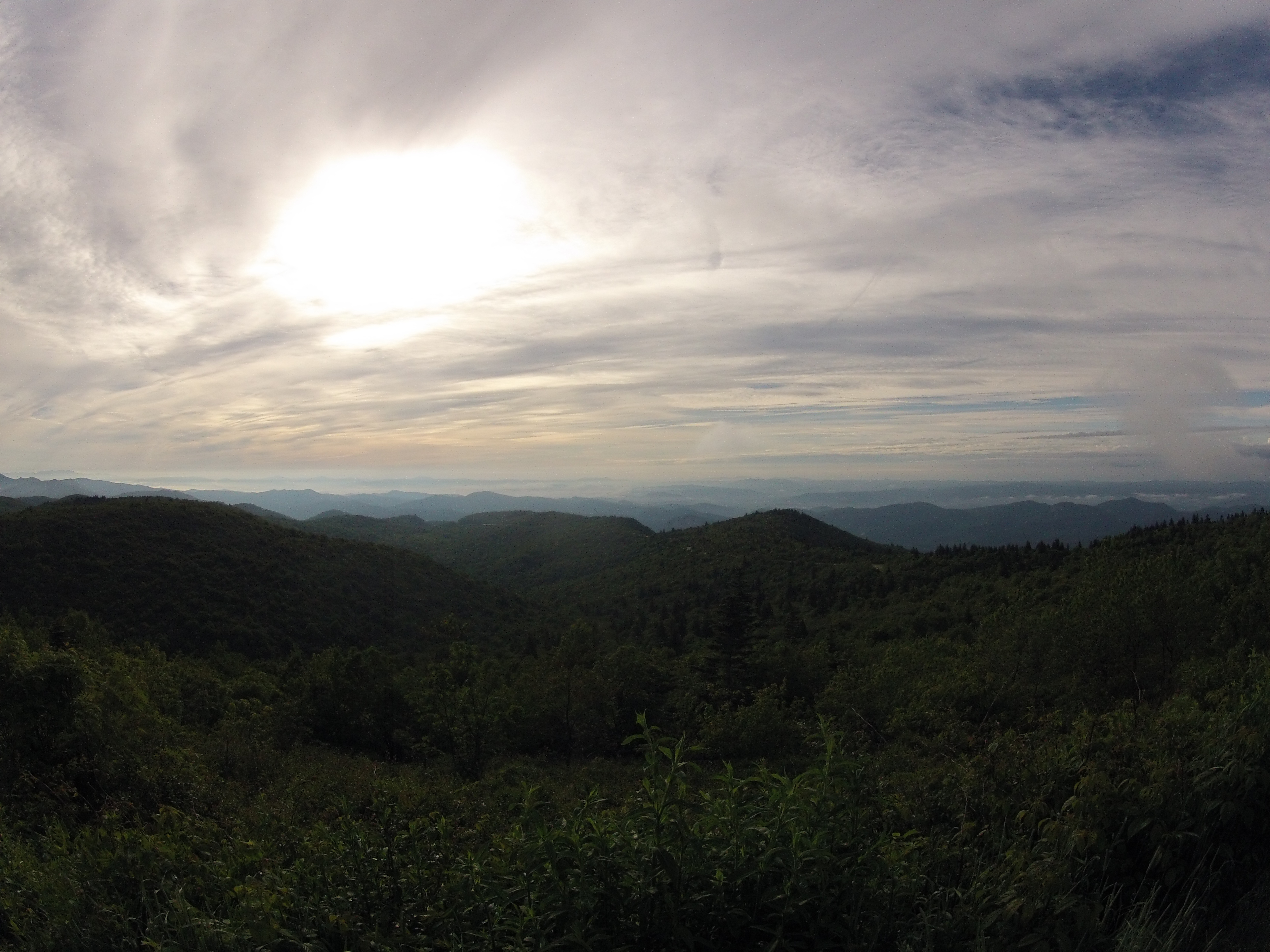
Mountain Views, Part 7
Courthouse View

View in the evening!

Chain View
Me & My Photograph
Black Balsam

male Maevia sp (F Salticidae)

Newfound Lodge Motel
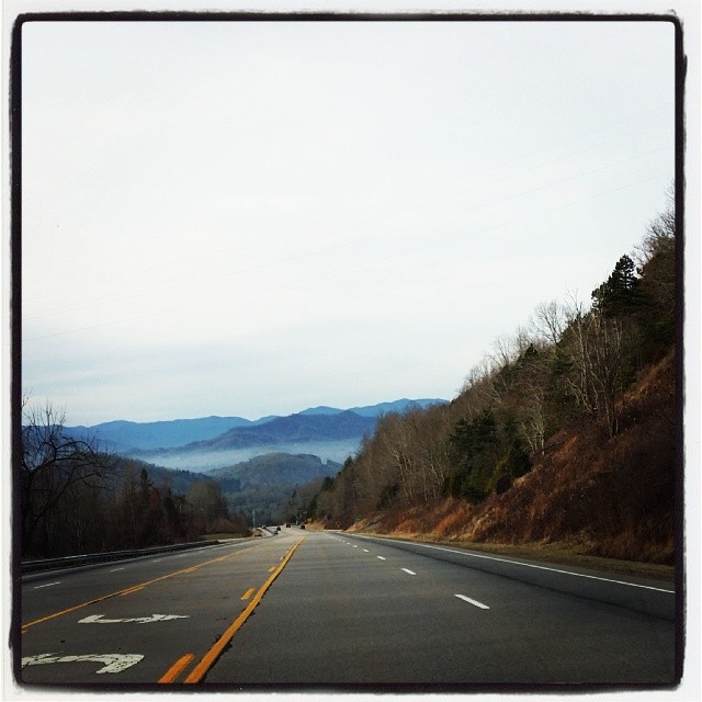
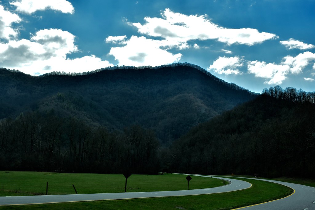
Driving thru the Smokey Mountains, what a view!
Bench View
Mountain Views, Part 8

1974 Western Carolina University Yearbook Cover

Cowee Bald Fire Tower - North Carolina
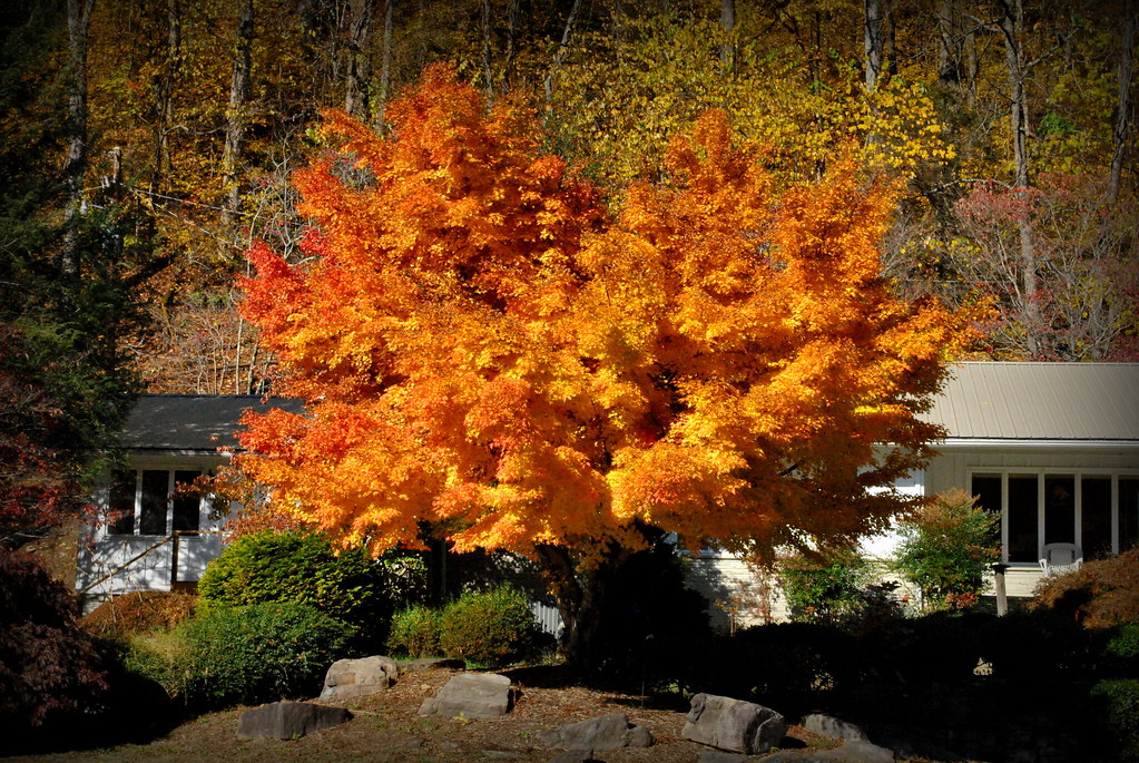
Tree And A Sky

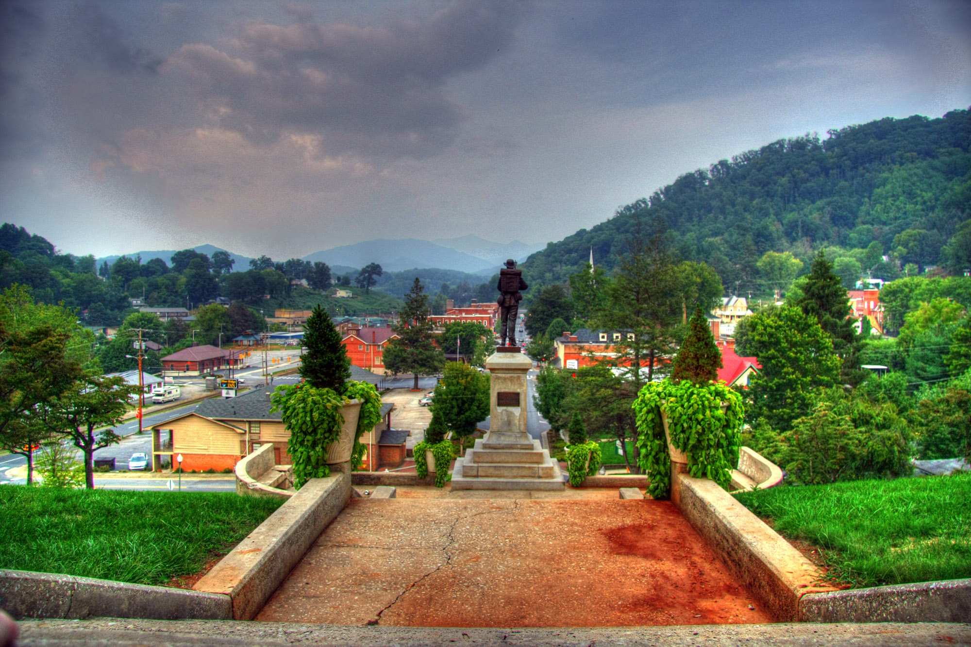
Sylva, NC Main St.
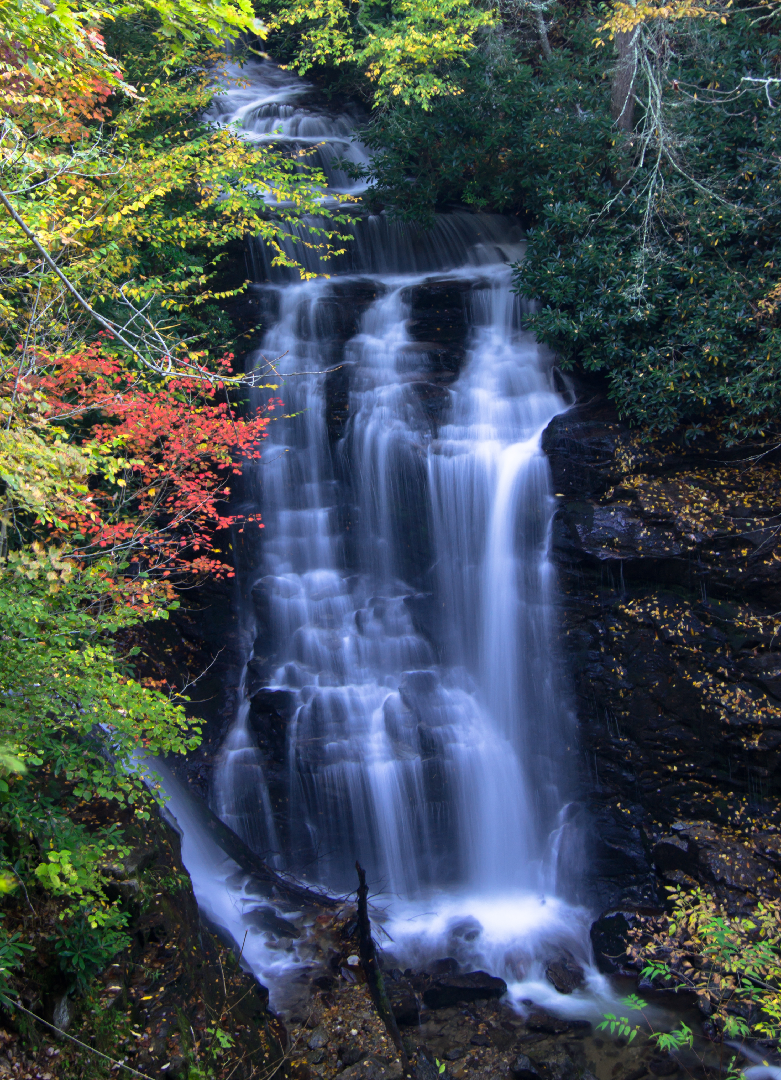
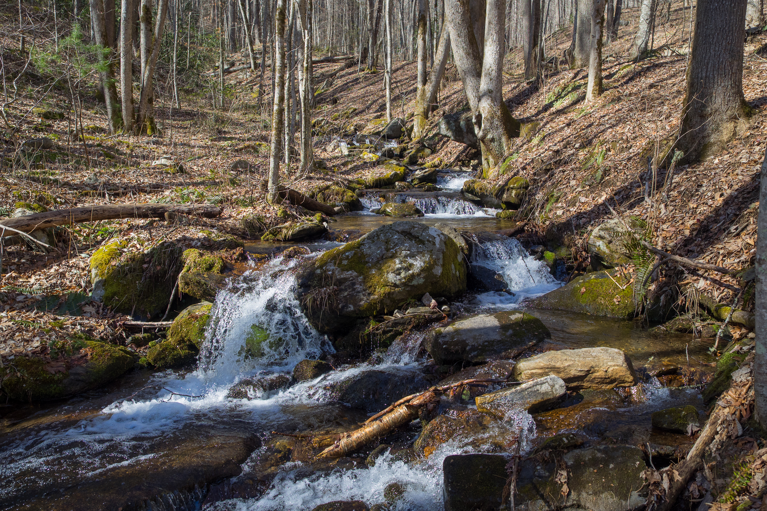
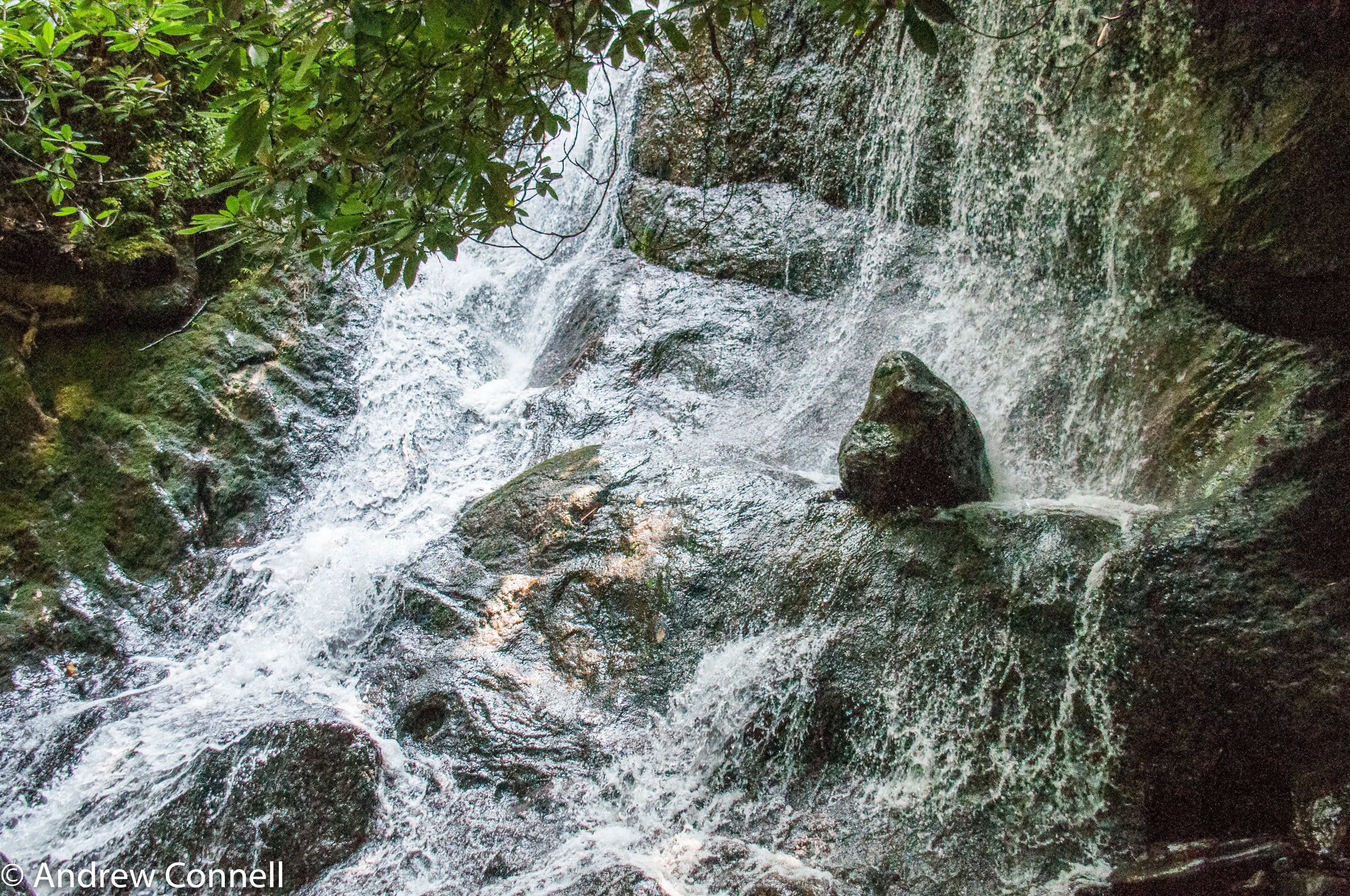
Waterfalls-4

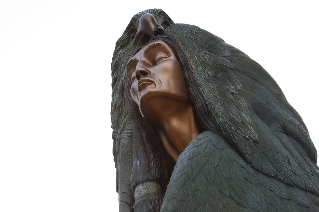
After leaving Oconaluftee, (an Indian Village in Cherokee, North Carolina) I felt really humble to see in person what it was like to experience how 18th century Indians lived and learn more history of our land. Unfortunately, the white settlers brought so
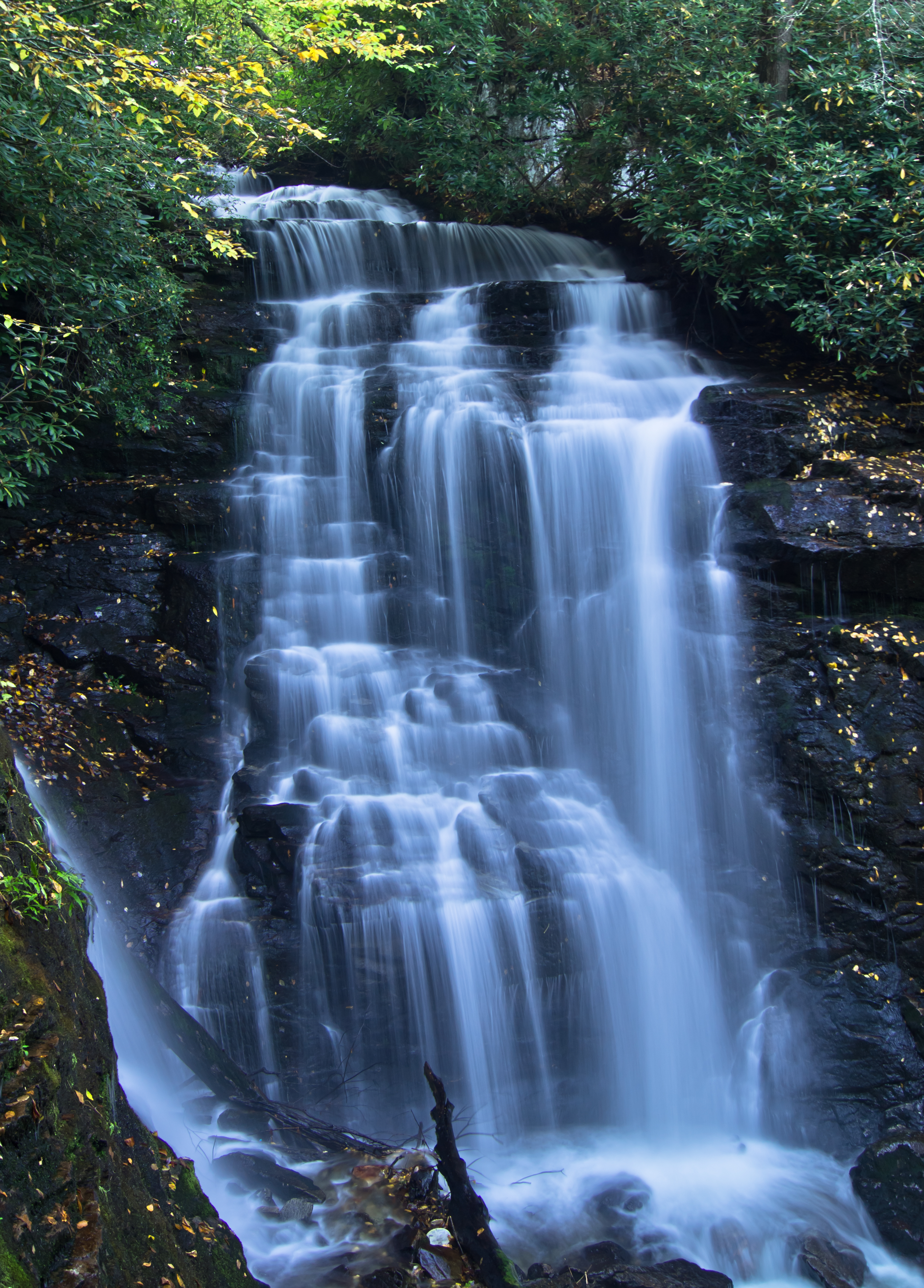
Waterfalls-2

The Curve
2017 March 28, Cherokee, NC Nikon D7200

Dark Mountain Peak
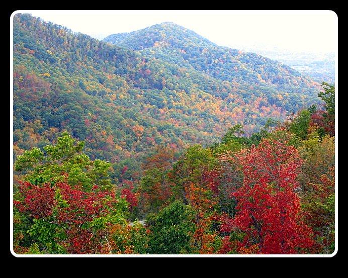
Smoky Mountains
Made it to the mountains!
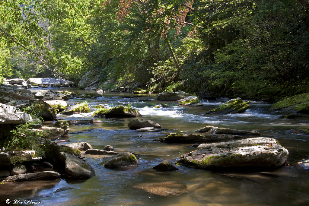
West Fork Fisher Creek, Nantahala National Forest, North Carolina

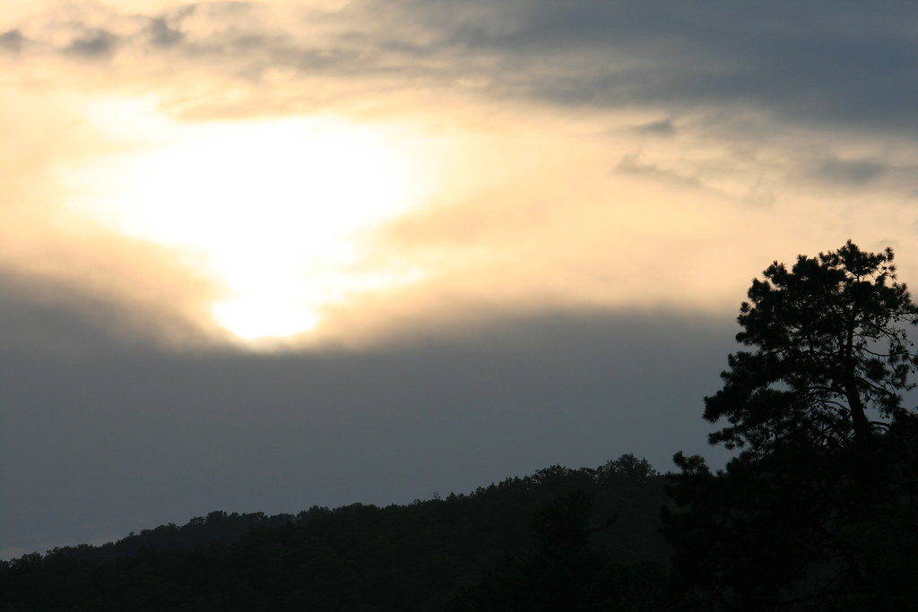
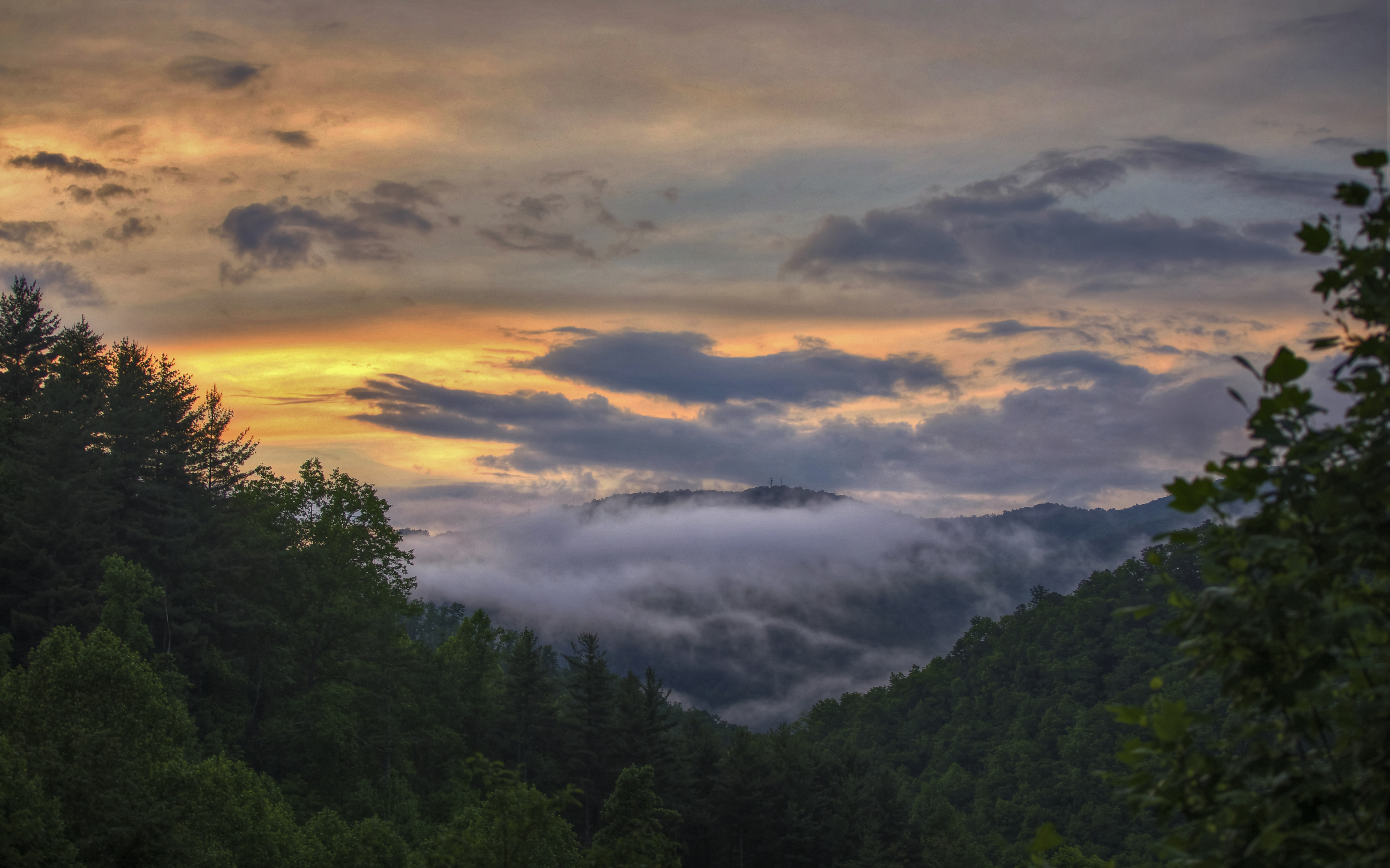
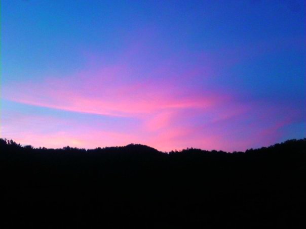
Appalachian Sunrise
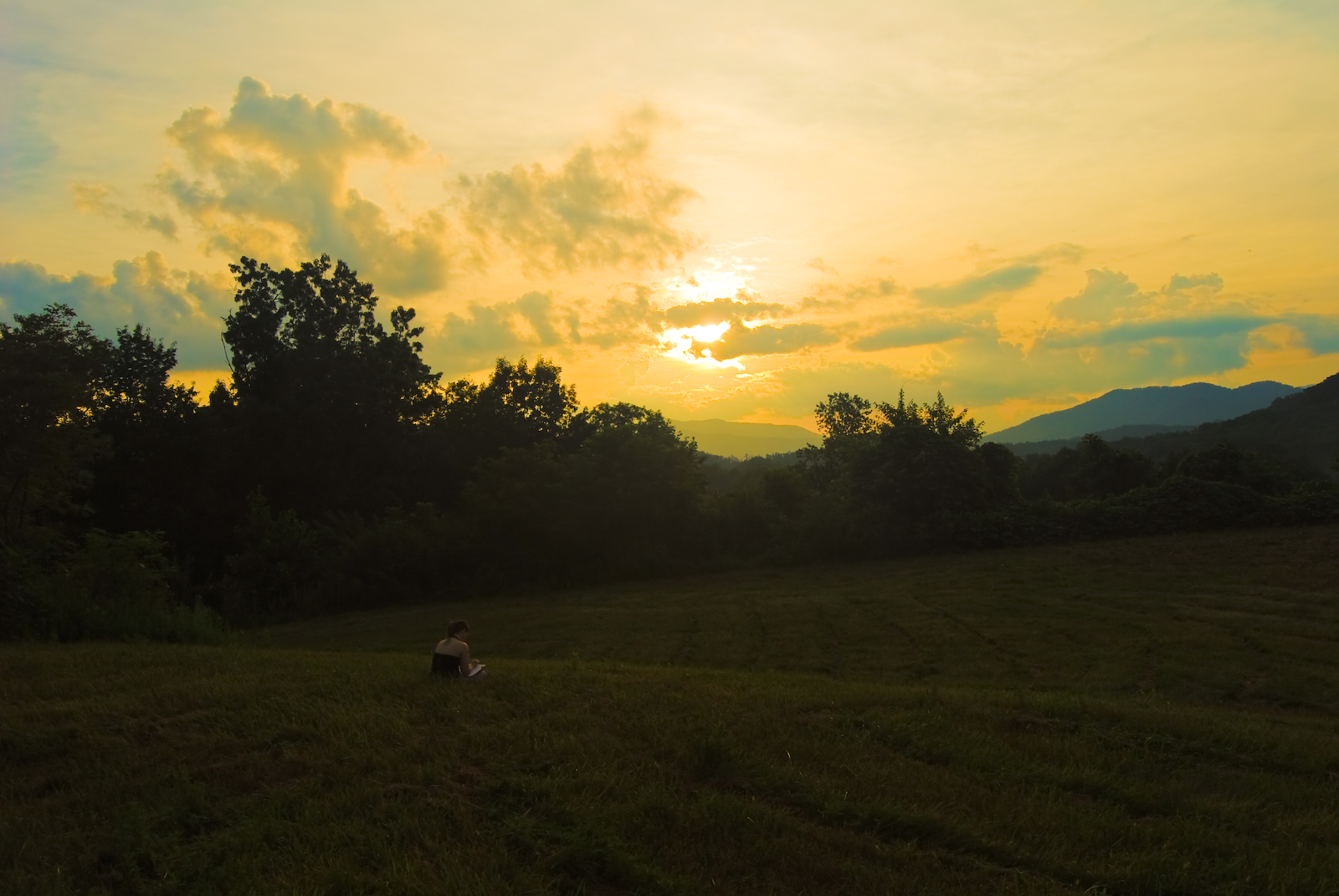
Sunset Reader
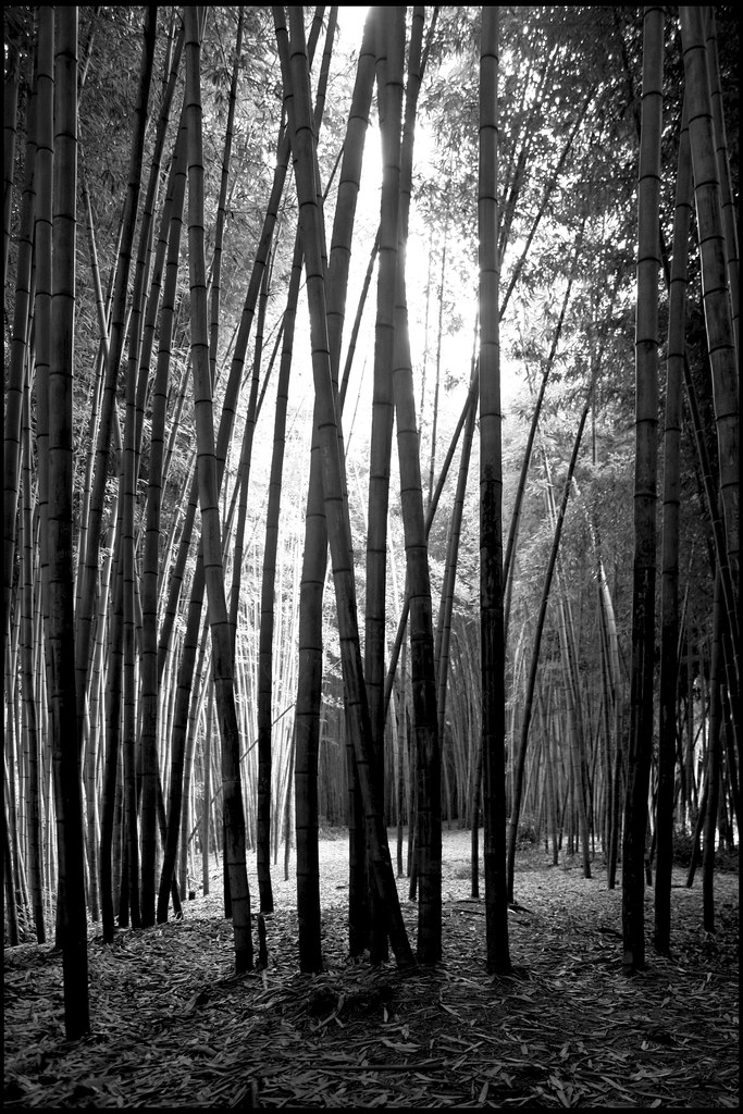
20120720 Bamboo Forest, Cherokee North Carolina 003

Jackson County Airport 24A in Cullowhee, NC
DSC_7827.jpg

DSC_7805.jpg
Oconaluftee River - IMG_16393
Wild Flower & Spec 046
Sunset from my deck

Another sunset from my deck
DSC_7760.jpg

Cullowhee Dam, Tuckasegee River, Jackson County
Topographic Map of Macktown Gap Rd, Sylva, NC, USA
Find elevation by address:

Places near Macktown Gap Rd, Sylva, NC, USA:
1174 Macktown Gap Rd
1962 Sutton Branch Rd
Eagles Ridge Road
848 Eagles Ridge Rd
1424 Sutton Branch Rd
864 Macktown Rd
Sutton Branch Road
898 Tunnel Mountain Rd
38 Walking Fern Rdg
811 Tunnel Mountain Rd
283 Villas Dr
Skylift Road
Dillsboro
382 Spirit Mountain
89 Harmony Hill Rd
Dillsboro, NC, USA
Haywood Rd, Sylva, NC, USA
50 Glade Dr
Dillsboro
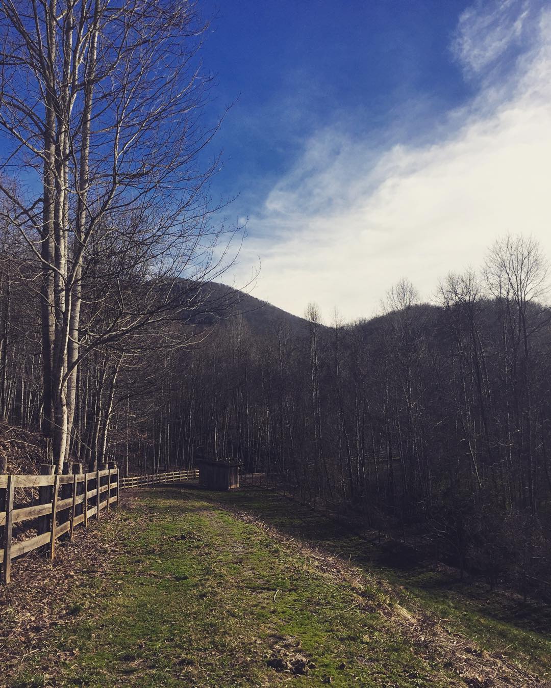
The Well House
Recent Searches:
- Elevation of Congressional Dr, Stevensville, MD, USA
- Elevation of Bellview Rd, McLean, VA, USA
- Elevation of Stage Island Rd, Chatham, MA, USA
- Elevation of Shibuya Scramble Crossing, 21 Udagawacho, Shibuya City, Tokyo -, Japan
- Elevation of Jadagoniai, Kaunas District Municipality, Lithuania
- Elevation of Pagonija rock, Kranto 7-oji g. 8"N, Kaunas, Lithuania
- Elevation of Co Rd 87, Jamestown, CO, USA
- Elevation of Tenjo, Cundinamarca, Colombia
- Elevation of Côte-des-Neiges, Montreal, QC H4A 3J6, Canada
- Elevation of Bobcat Dr, Helena, MT, USA