Elevation of Mackinaw Way, Grass Valley, CA, USA
Location: United States > California > Nevada County > Grass Valley >
Longitude: -121.18370
Latitude: 39.081247
Elevation: 418m / 1371feet
Barometric Pressure: 96KPa
Elevation Map:
Satellite Map:
Related Photos:

Another Show About Nothing

Aerial Views - Clouds above Auburn

A Dog's View of the World

Fox Sparrow

Master 2765

Aerial View of Hammon Grove Park, CA
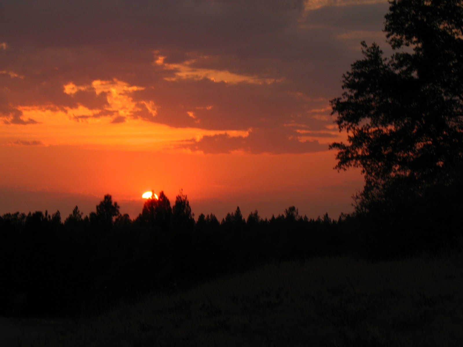
Sierra Nevada sunset view

Eastern Views

Fields of fire

Hidden Falls 001.JPG

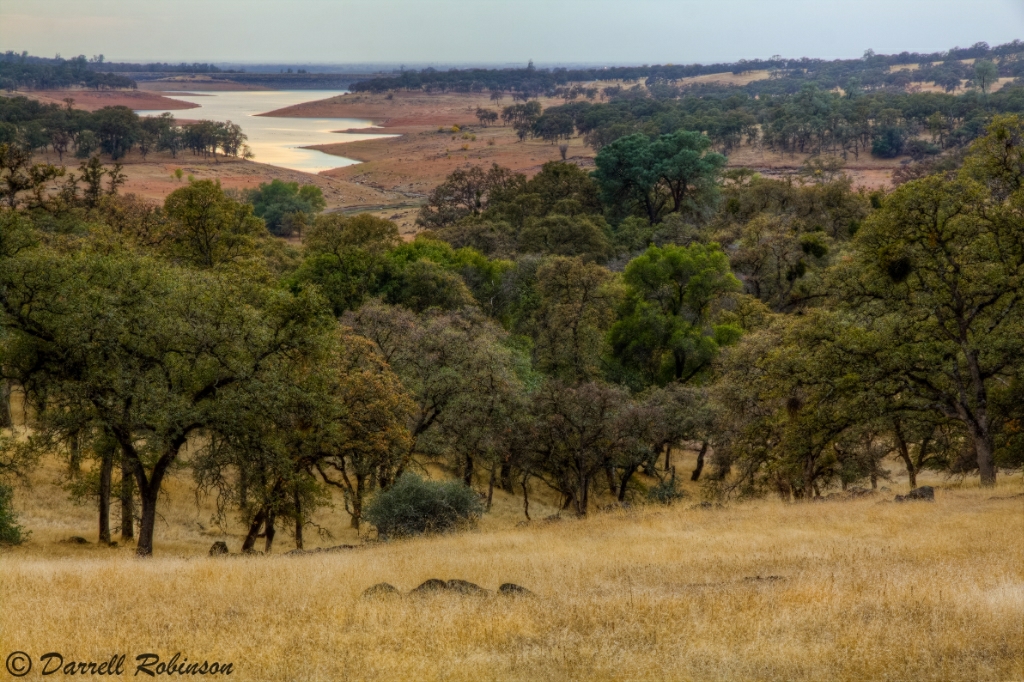
Surrounding Hills 001.JPG

Trumpeter Swans--Cygnus buccinator

Trumpeter Swans--Cygnus buccinator

White-throated Swift--Aeronautes saxatalis
Oak Woodlands

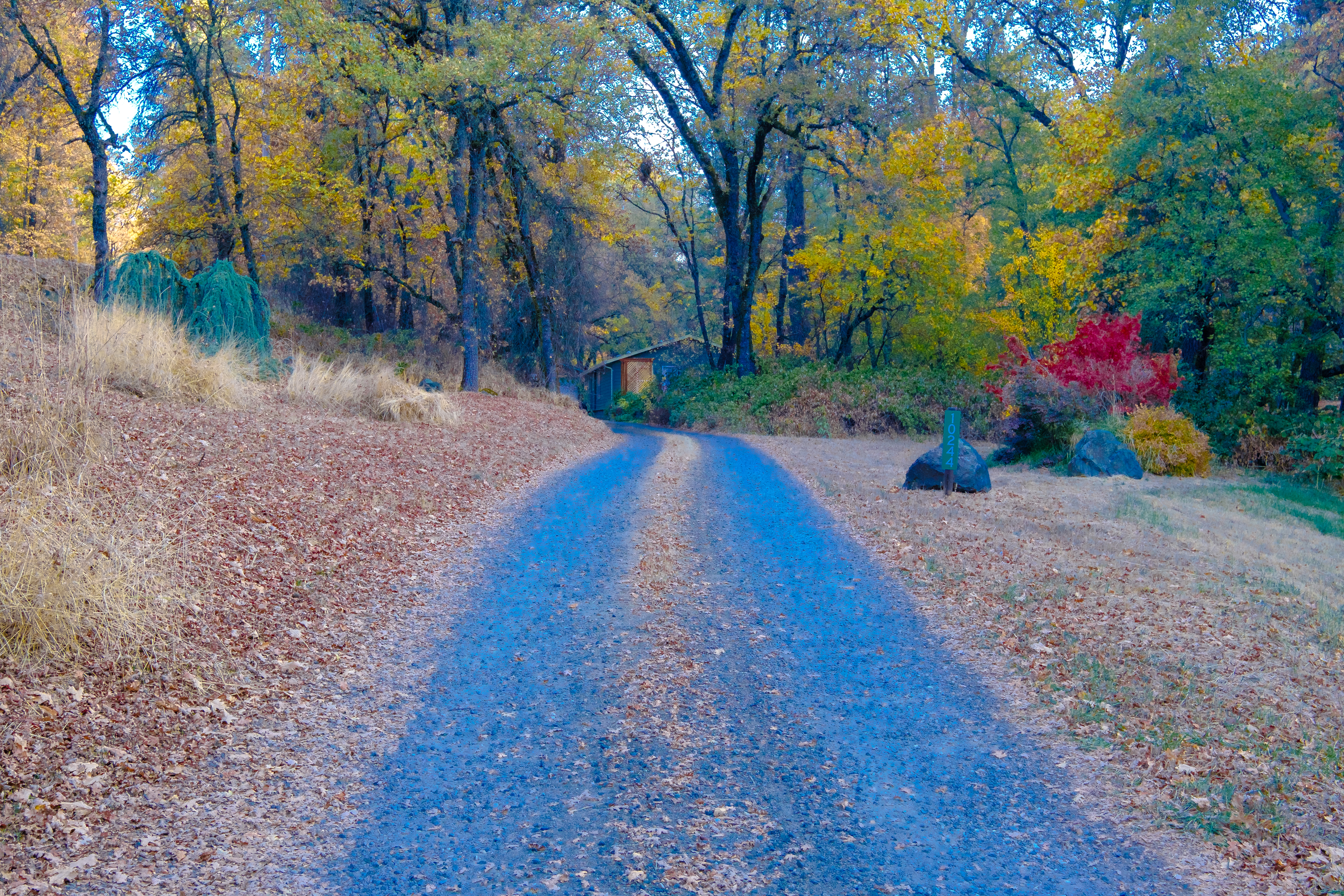
Well I've Been Out Walkin'

Mountain View
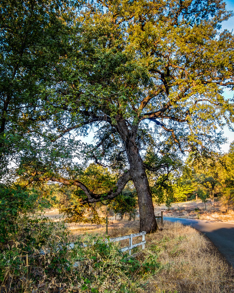
Morning Oak

Greater Scaup female

Open Gate

Swan Day Afternoon

Quiet Places

DSCF6874.jpg

Lake Camp Far West Lake
DSCF7306.jpg

I Daresay, That it Was a Nice Day for a Walk

Water (HSS)

DSCF7288.jpg

DSCF0376.jpg

DSCF6855.jpg

Hidden Falls 9040

Hidden Falls Regional Park 2016
Hidden Falls Regional Park 2016

Down on the Farm

Red-shouldered Hawk (immature)--Buteo lineatus

IMG_5094.jpg

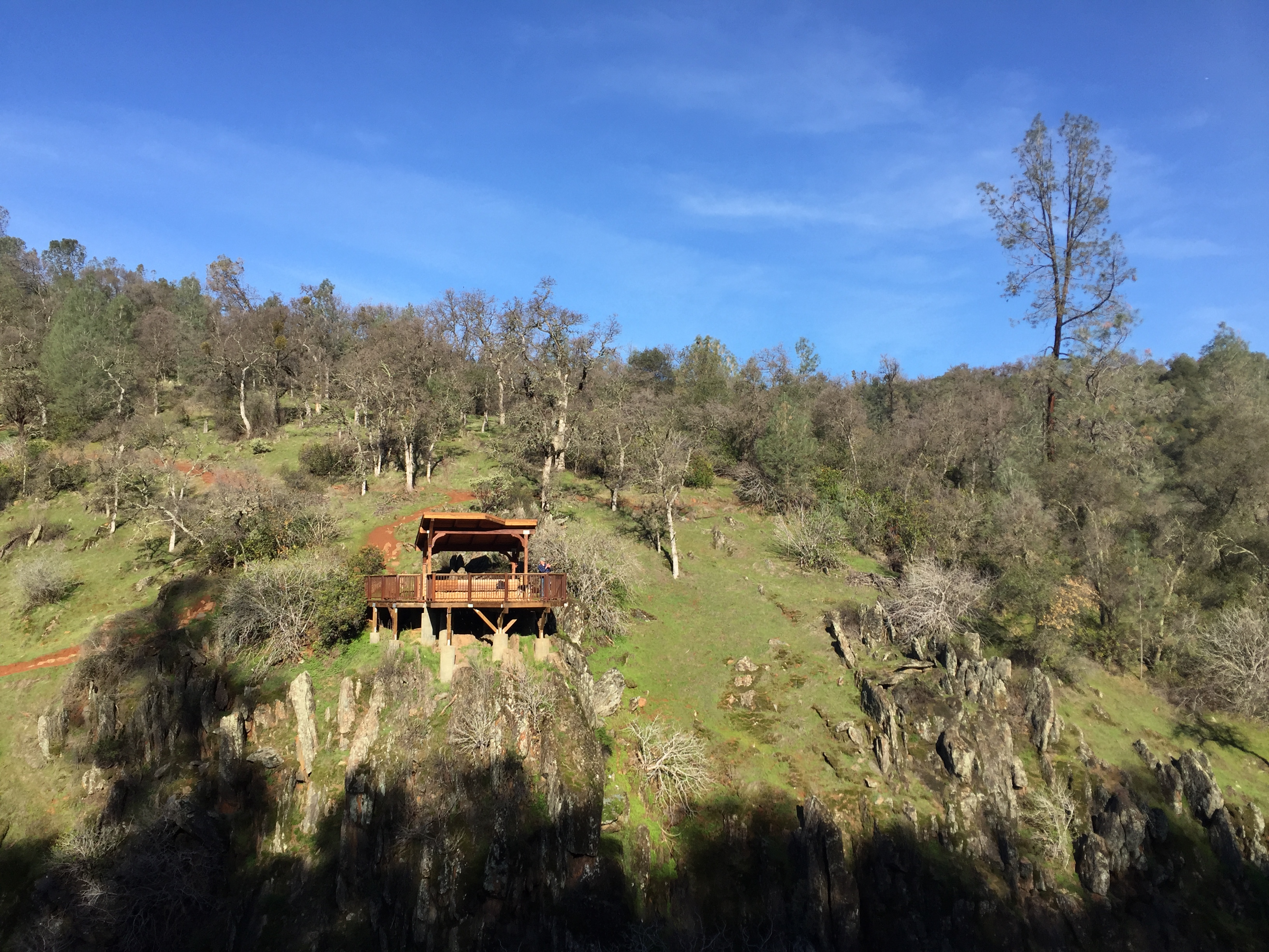
Hidden Falls

The Bridge at Waldo Junction
Topographic Map of Mackinaw Way, Grass Valley, CA, USA
Find elevation by address:

Places near Mackinaw Way, Grass Valley, CA, USA:
15570 Macdonald Rd
23907 Restive Way
24410 Restive Way
18125 Rosemary Ln
13795 Countryside Ranch Rd
18852 Gopher Ln
12976 Wolf Rd
Nevada County
Truckee-grass Valley, Ca
22460 Meyer Ravine Rd
14880 Wolf Rd
Grass Valley, CA, USA
Mccortney Road
11611 Wolf Rd
11605 Wolf Rd
13280 Bianca Ln
12250 Hallwood Pl
13588 Littlebird Ln
23188 Cottage Hill Dr
Cottage Hill Drive
Recent Searches:
- Elevation of Kreuzburger Weg 13, Düsseldorf, Germany
- Elevation of Gateway Blvd SE, Canton, OH, USA
- Elevation of East W.T. Harris Boulevard, E W.T. Harris Blvd, Charlotte, NC, USA
- Elevation of West Sugar Creek, Charlotte, NC, USA
- Elevation of Wayland, NY, USA
- Elevation of Steadfast Ct, Daphne, AL, USA
- Elevation of Lagasgasan, X+CQH, Tiaong, Quezon, Philippines
- Elevation of Rojo Ct, Atascadero, CA, USA
- Elevation of Flagstaff Drive, Flagstaff Dr, North Carolina, USA
- Elevation of Avery Ln, Lakeland, FL, USA