Elevation of Macisaac Rd, Richmond, PE C0B 1Y0, Canada
Location: Canada > Prince Edward Island > Prince County > Lot 14 > Richmond >
Longitude: -64.025179
Latitude: 46.5017583
Elevation: 34m / 112feet
Barometric Pressure: 101KPa
Elevation Map:
Satellite Map:
Related Photos:
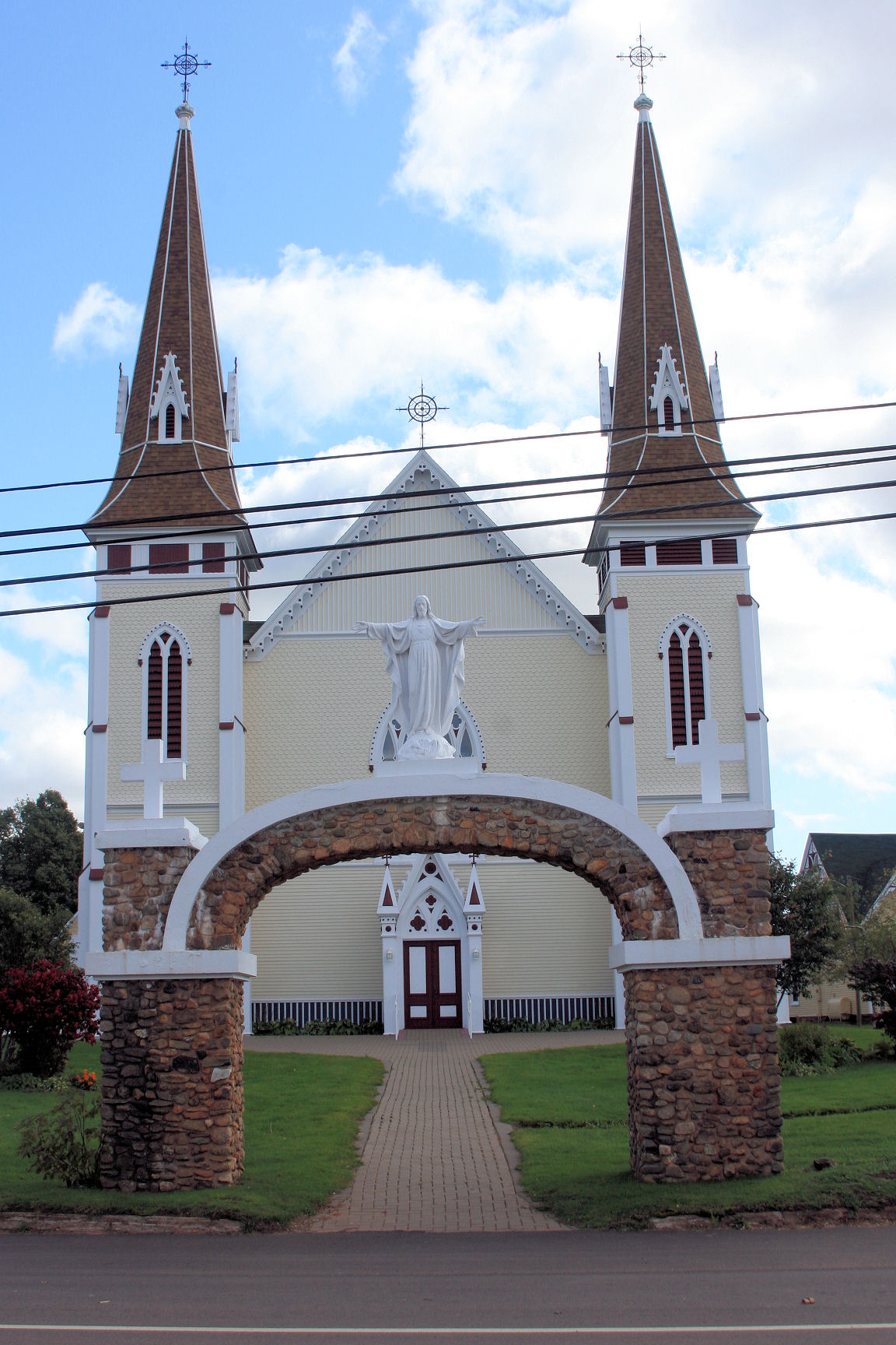
St John the Baptist church Miscouche 3
View along the Main street
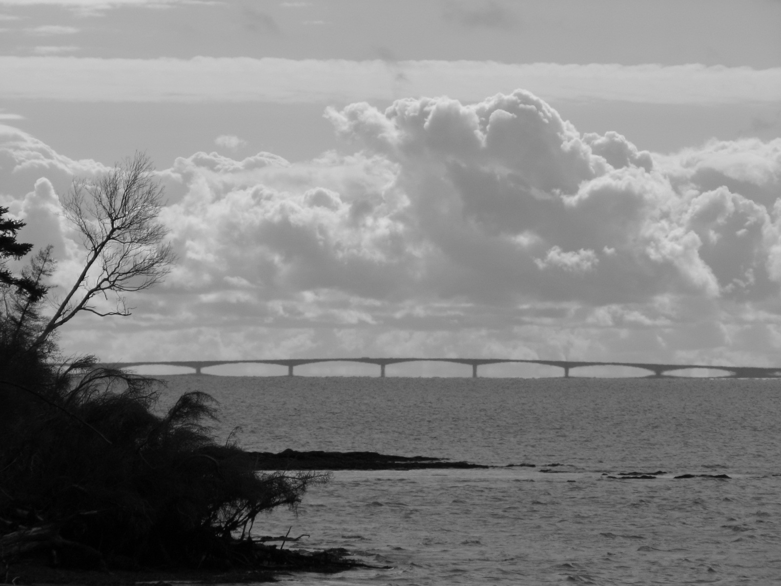
View of Confederation bridge
Port Hill, PEI
Cap-Egmont, PEI
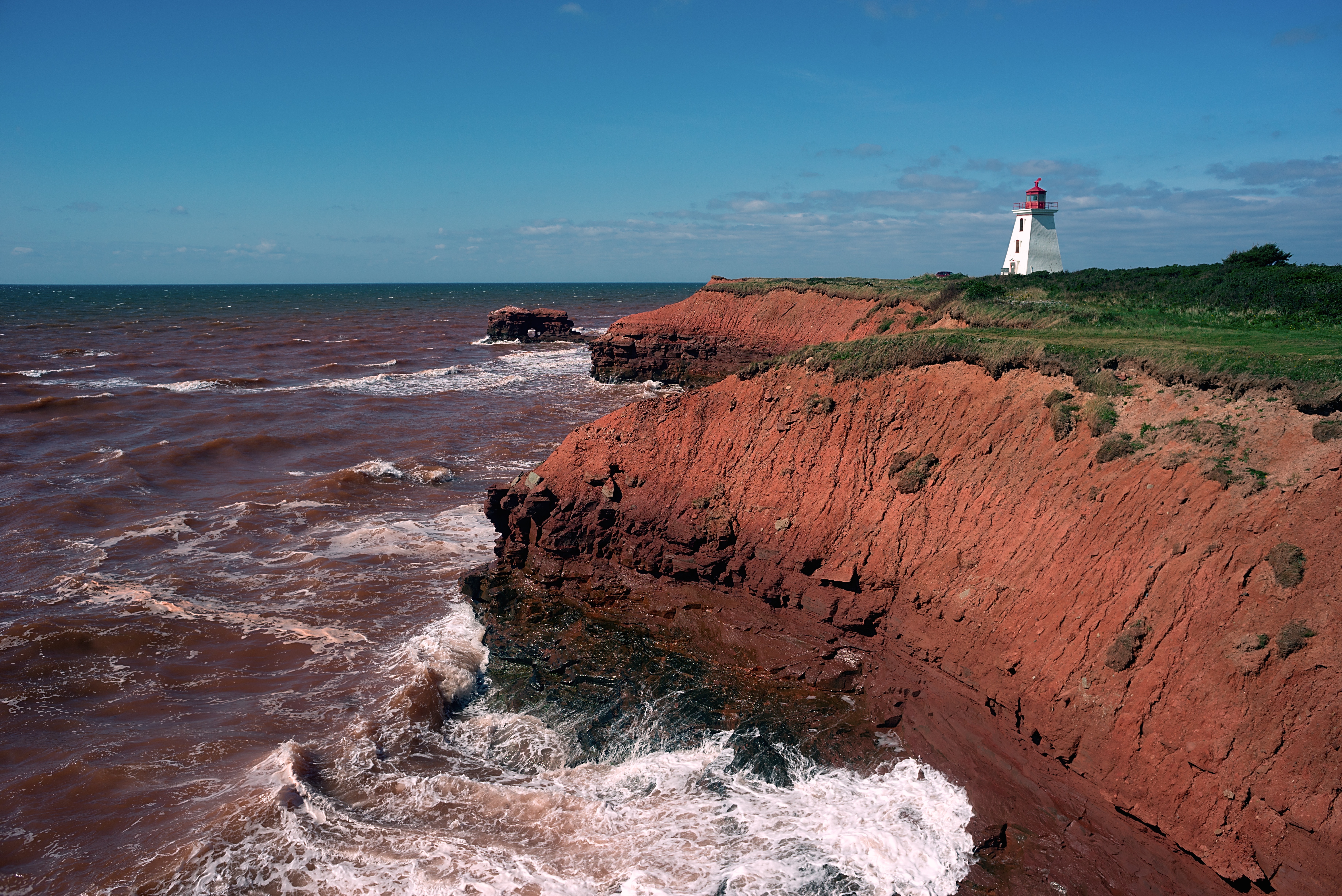
Sandstone cliffs at Cape Egmont
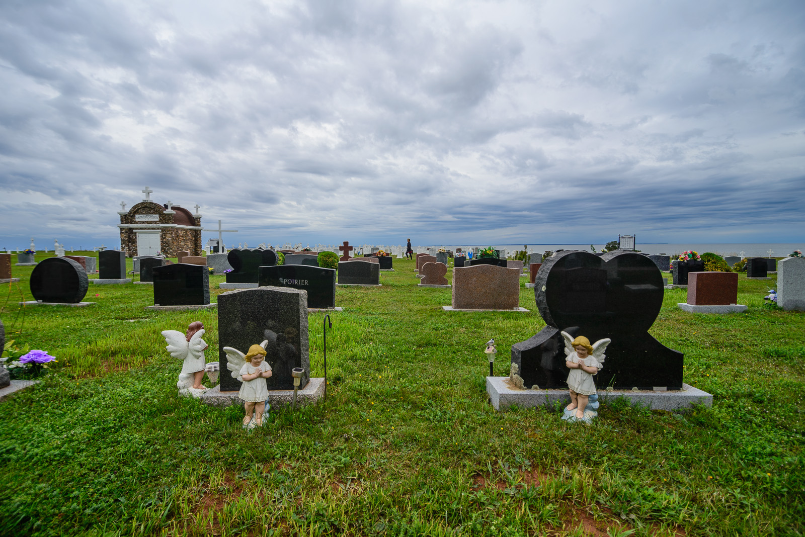
Prince Edward Island
Lobster Factory

Cavendish Beach, Prince Edward Island, Canada
PEI 2013
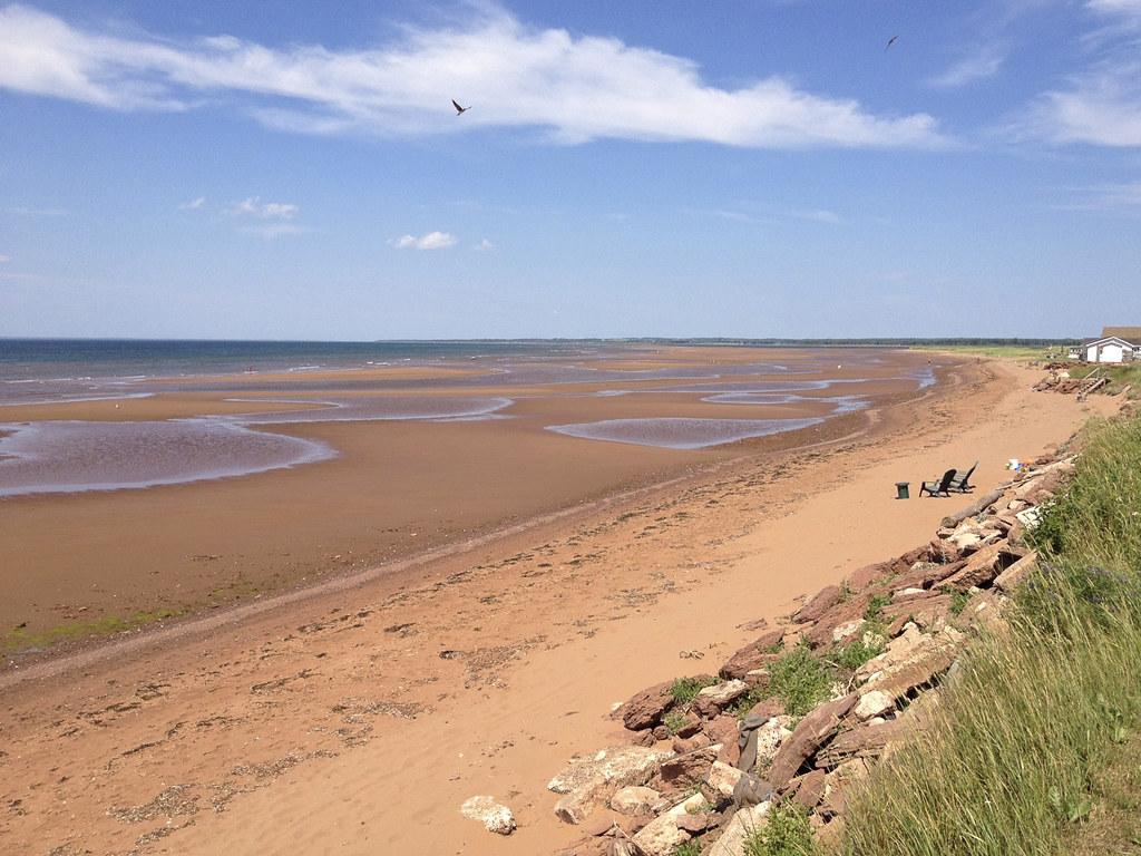
the beach @ low tide
PEI 2013
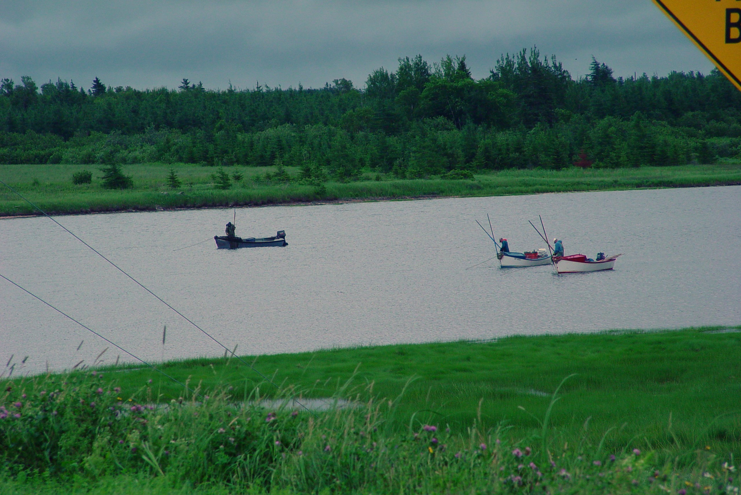
06 Fishermen
130905-084856.jpg
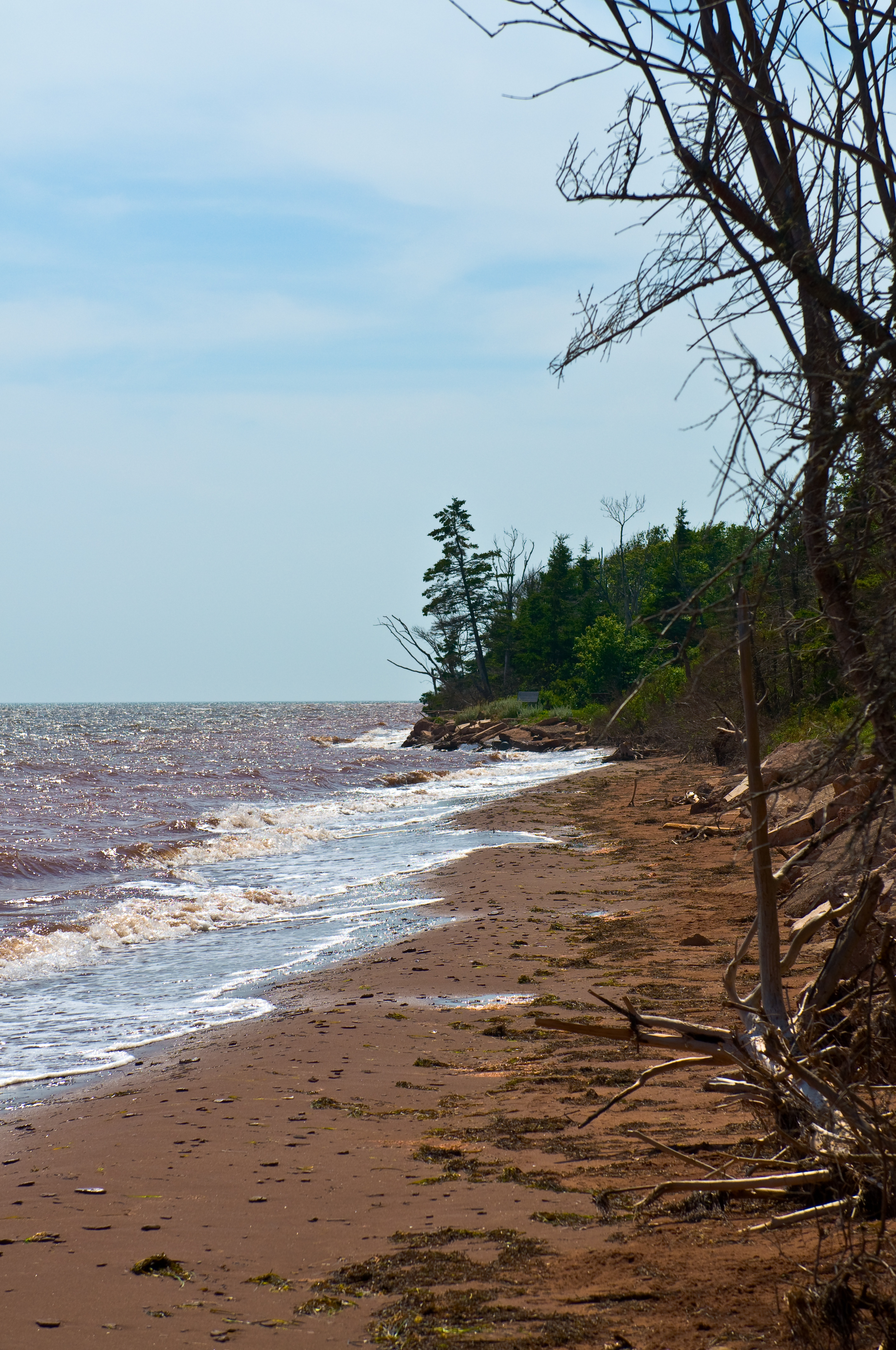
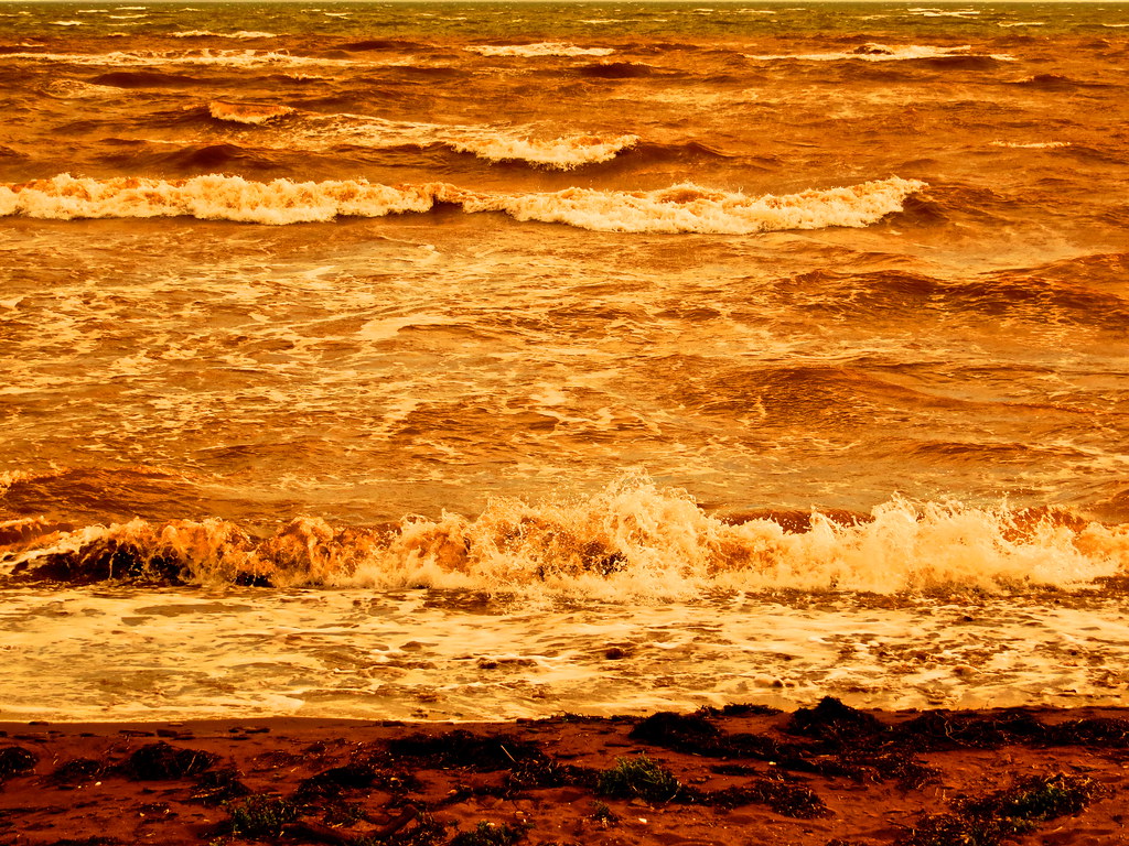
Yeah, the water was red
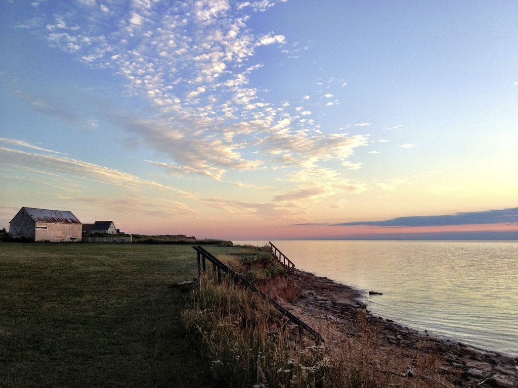
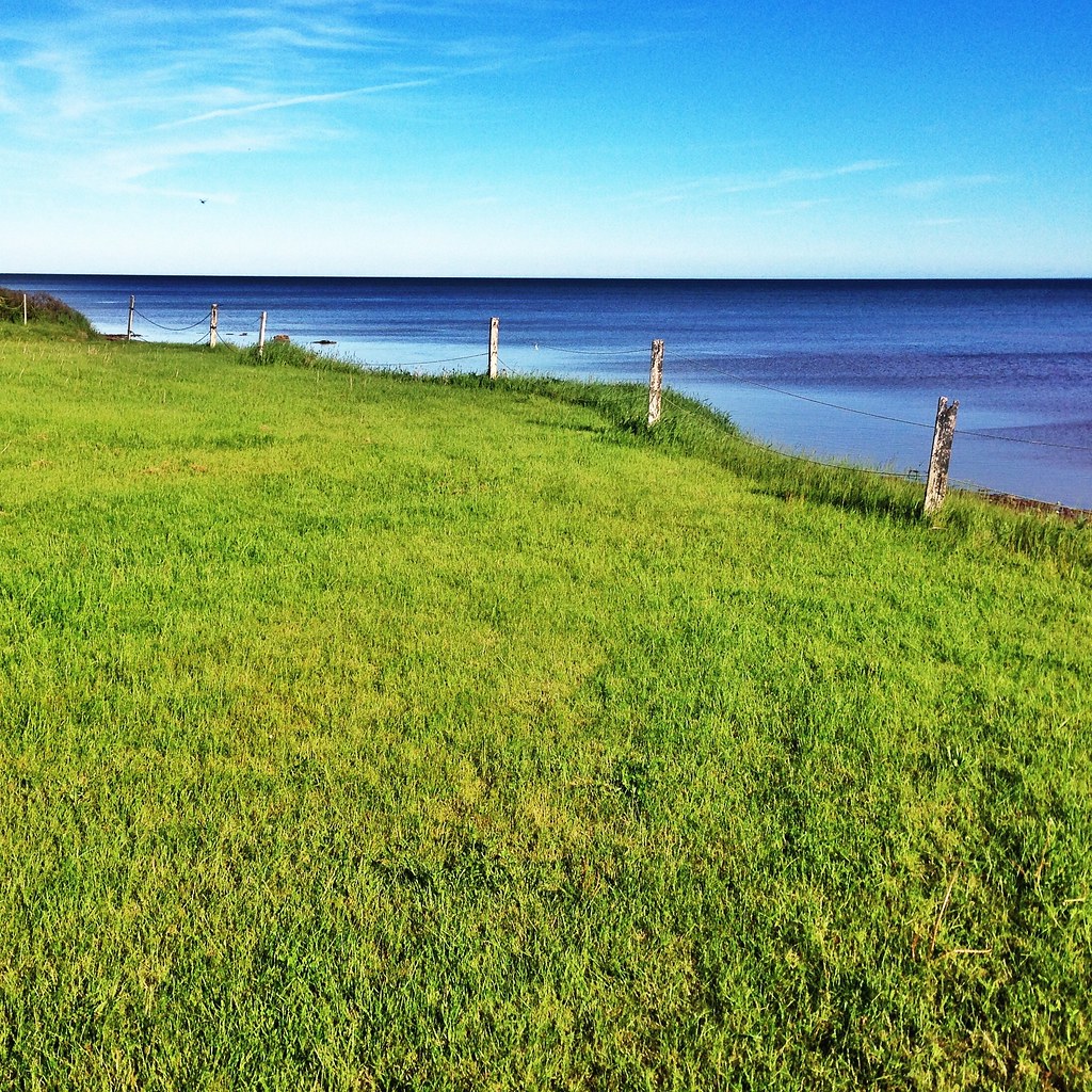
Bayside, PEI
Bayside, PEI

The Sandbars Go On Forever
Summerside, PE

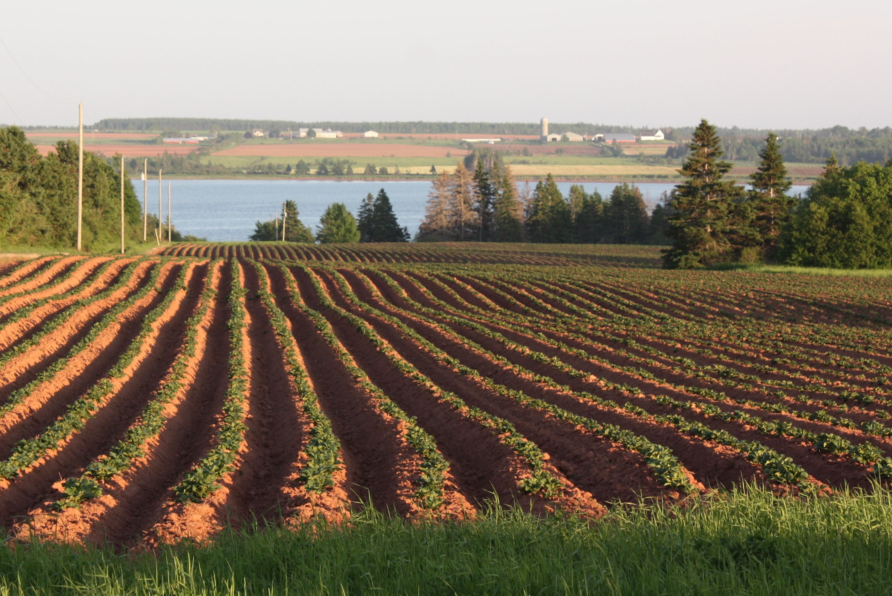
Grain field, PEI - HDR
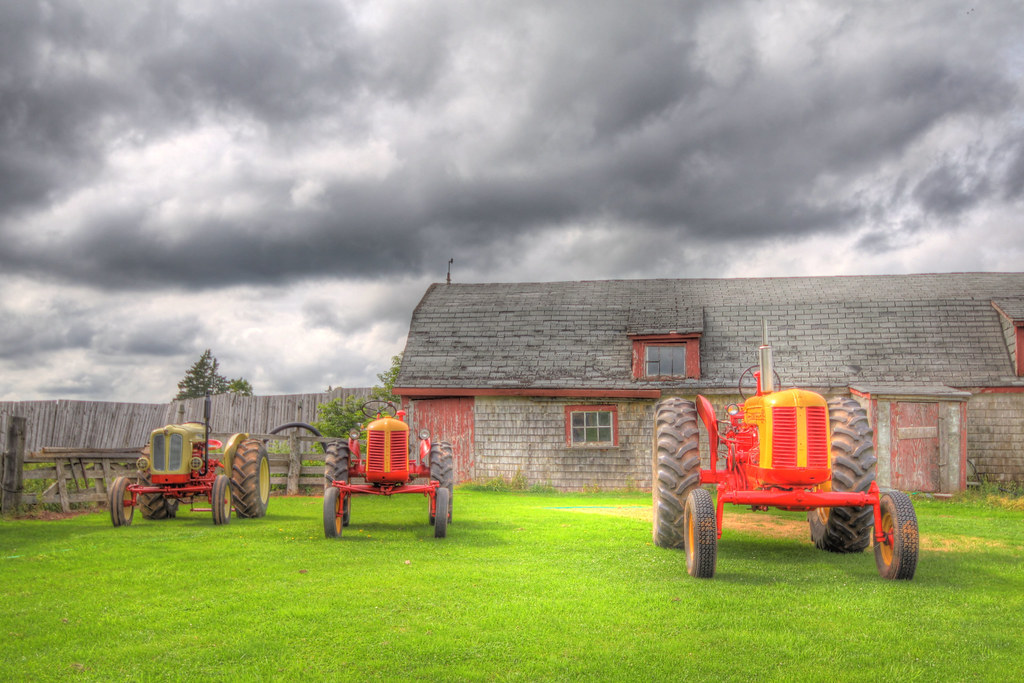
Cockshutt Fiat, deluxe 20 and deluxe 35 - HDR - 2

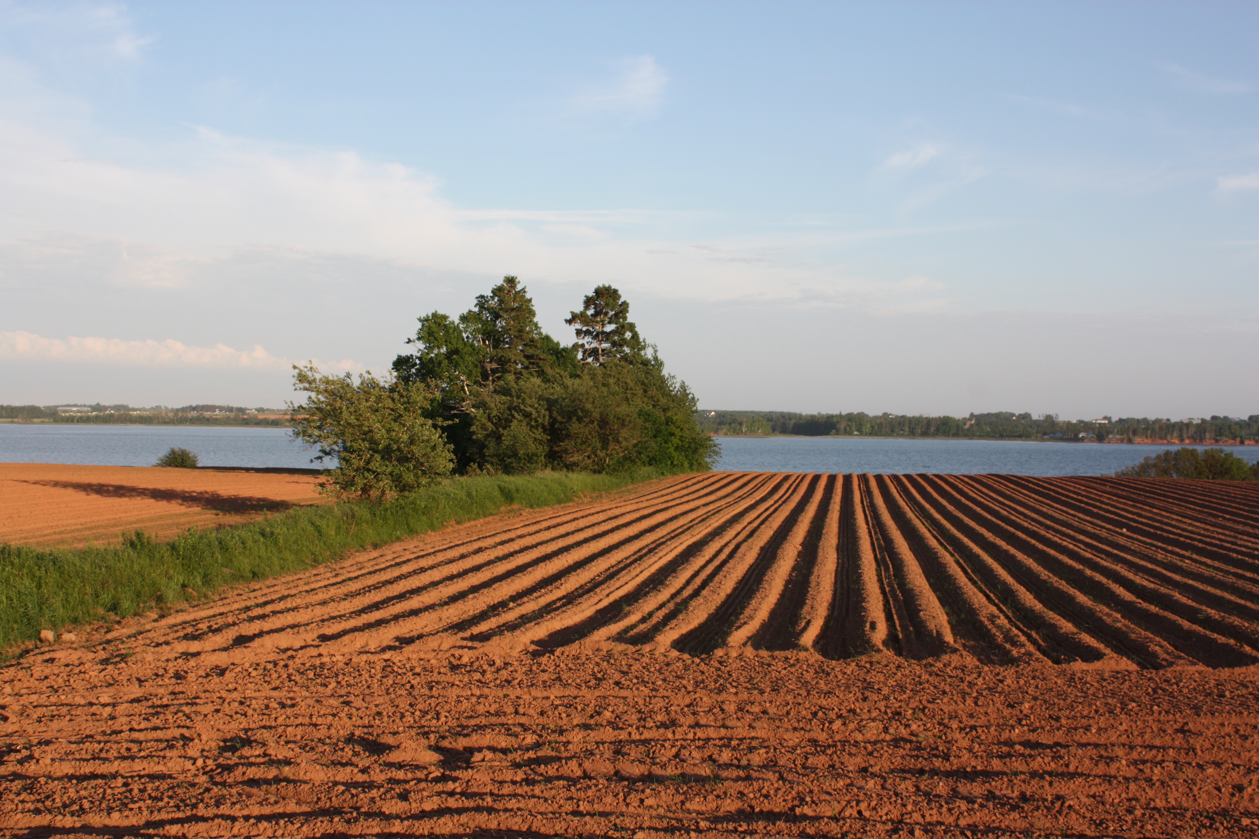
Big sky over barley field, Grand River, PEI - HDR

Bottle Houses, Cape Egmont, Prince Edward Island

Cape Egmont

Birch Hill, PEI

Bottle Houses, Cape Egmont, Prince Edward Island
Topographic Map of Macisaac Rd, Richmond, PE C0B 1Y0, Canada
Find elevation by address:

Places near Macisaac Rd, Richmond, PE C0B 1Y0, Canada:
Richmond
Lot 14
2322 Macisaac Rd
Harmony Line, Richmond, PE C0B 1Y0, Canada
Wellington
Springhill
Western Rd, Wellington, PE C0B 2E0, Canada
9303 Pe-11
Northam Rd, Tyne Valley, PE C0B 2C0, Canada
PE-11, Richmond, PE C0B 1Y0, Canada
8 Portage Shore Rd, Ellerslie, PE C0B 1J0, Canada
Mount Pleasant
542 Enmore Rd
20 Hall Rd, Richmond, PE C0B 1Y0, Canada
Ellerslie
Tyne Valley
Lot 16
Bayside
Mcneills Mills Rd, Ellerslie, PE C0B 1J0, Canada
Lot 12
Recent Searches:
- Elevation of Lampiasi St, Sarasota, FL, USA
- Elevation of Elwyn Dr, Roanoke Rapids, NC, USA
- Elevation of Congressional Dr, Stevensville, MD, USA
- Elevation of Bellview Rd, McLean, VA, USA
- Elevation of Stage Island Rd, Chatham, MA, USA
- Elevation of Shibuya Scramble Crossing, 21 Udagawacho, Shibuya City, Tokyo -, Japan
- Elevation of Jadagoniai, Kaunas District Municipality, Lithuania
- Elevation of Pagonija rock, Kranto 7-oji g. 8"N, Kaunas, Lithuania
- Elevation of Co Rd 87, Jamestown, CO, USA
- Elevation of Tenjo, Cundinamarca, Colombia