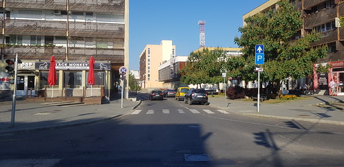
Elevation of Mátészalka, Hungary
Location: Hungary >
Longitude: 22.3161391
Latitude: 47.9515675
Elevation: 128m / 420feet
Barometric Pressure: 100KPa
Related Photos:
Topographic Map of Mátészalka, Hungary
Find elevation by address:

Places near Mátészalka, Hungary:
Vitka
Vitkai Platánfasor
Vásárosnamény
Tiborszállás
Záhony
Záhony, Jókai út 4, Hungary
Nyíregyháza, stny. u. 30, Hungary
Nyíregyháza
Bethlen Gábor Street
Karcsa, Kun Béla u. 27, Hungary
Zakarpats'ka Oblast
Uzhhorod
Uzhhorods'ka City Council
Záhor, 53 Záhor, Slovakia
Záhor
Sobrance District
Vágáshuta
Vágáshuta, Fő u. 17, Hungary
Sátoraljaújhelyi
Tiszalök
Recent Searches:
- Elevation of Congressional Dr, Stevensville, MD, USA
- Elevation of Bellview Rd, McLean, VA, USA
- Elevation of Stage Island Rd, Chatham, MA, USA
- Elevation of Shibuya Scramble Crossing, 21 Udagawacho, Shibuya City, Tokyo -, Japan
- Elevation of Jadagoniai, Kaunas District Municipality, Lithuania
- Elevation of Pagonija rock, Kranto 7-oji g. 8"N, Kaunas, Lithuania
- Elevation of Co Rd 87, Jamestown, CO, USA
- Elevation of Tenjo, Cundinamarca, Colombia
- Elevation of Côte-des-Neiges, Montreal, QC H4A 3J6, Canada
- Elevation of Bobcat Dr, Helena, MT, USA


