Elevation of Lytton-Lillooet Hwy, Spences Bridge, BC V0K 2L0, Canada
Location: Canada > British Columbia > Thompson-nicola > Thompson-nicola I >
Longitude: -121.70457
Latitude: 50.49368
Elevation: 382m / 1253feet
Barometric Pressure: 97KPa
Elevation Map:
Satellite Map:
Related Photos:
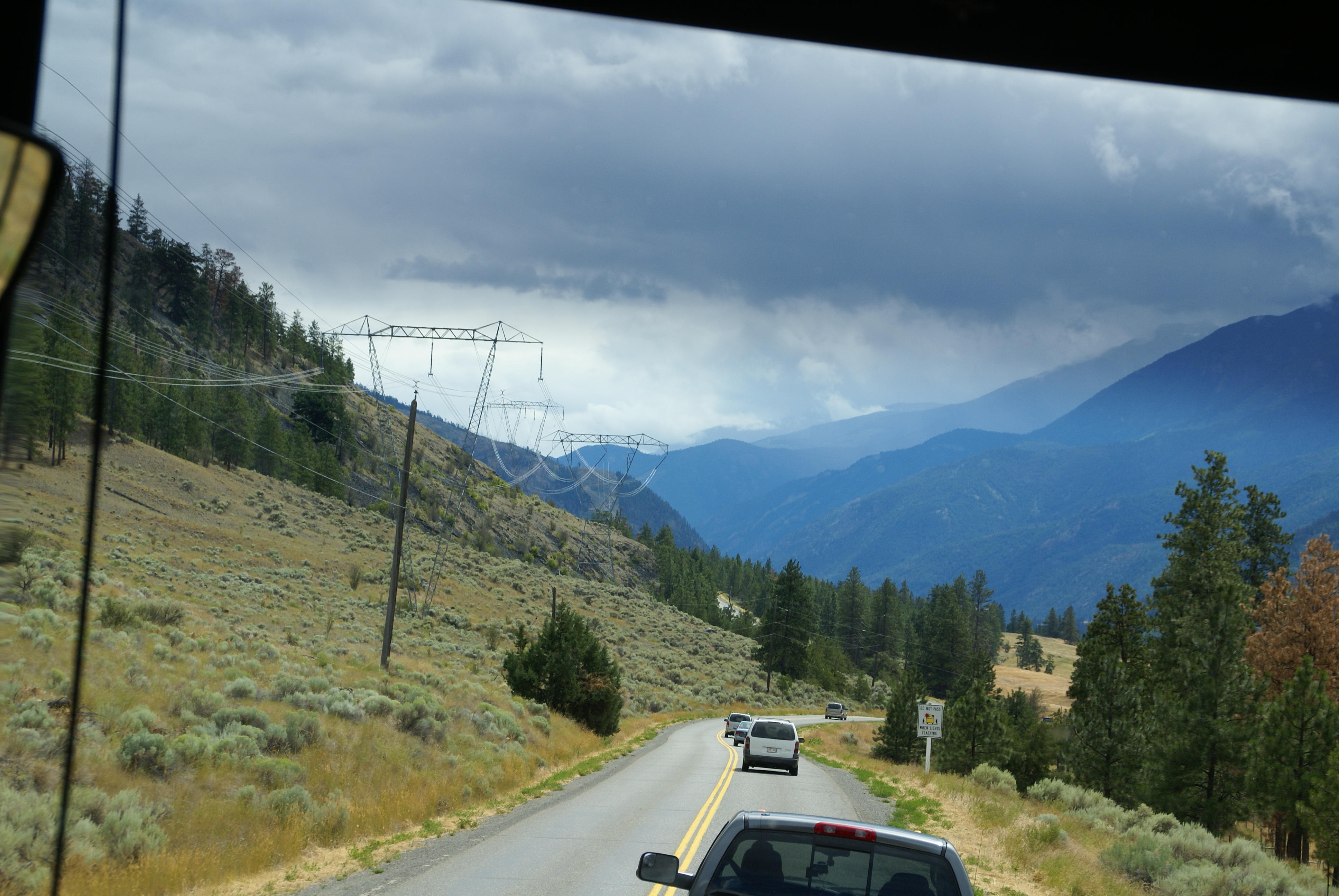
Long Road out of Whistler
Long Road out of Whistler
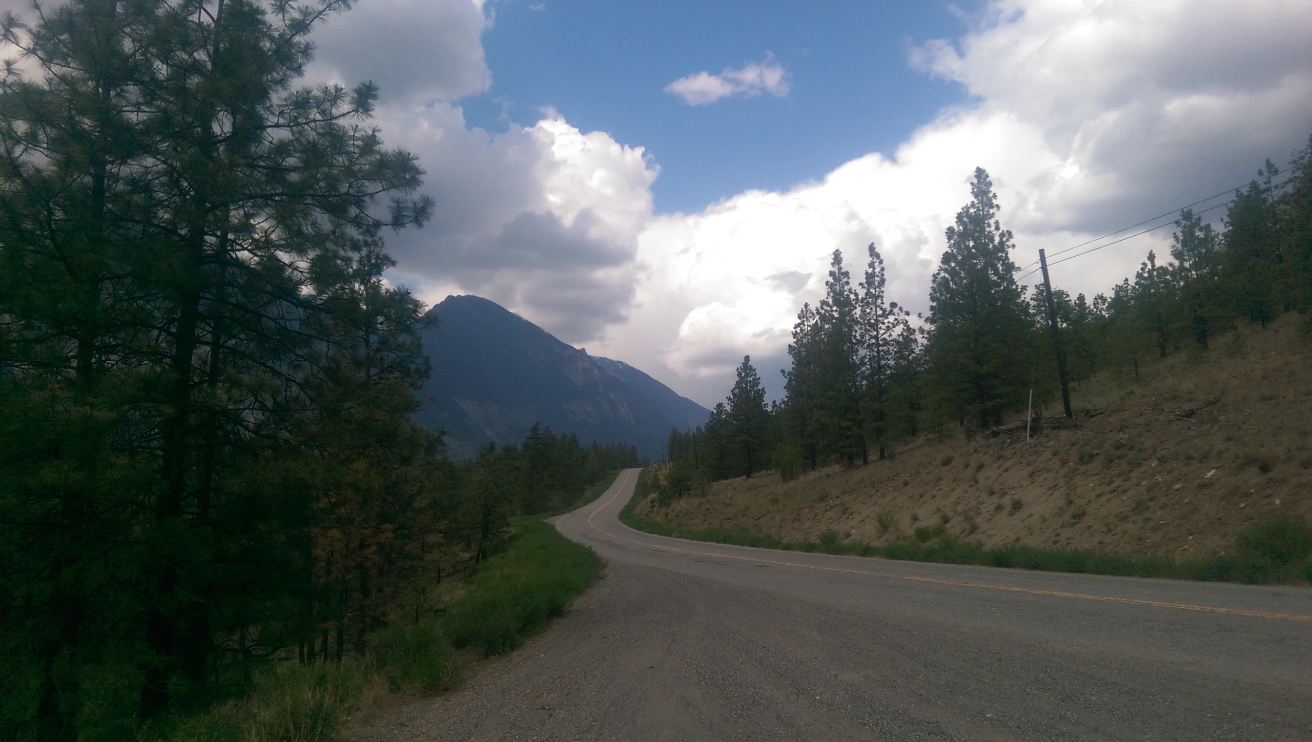
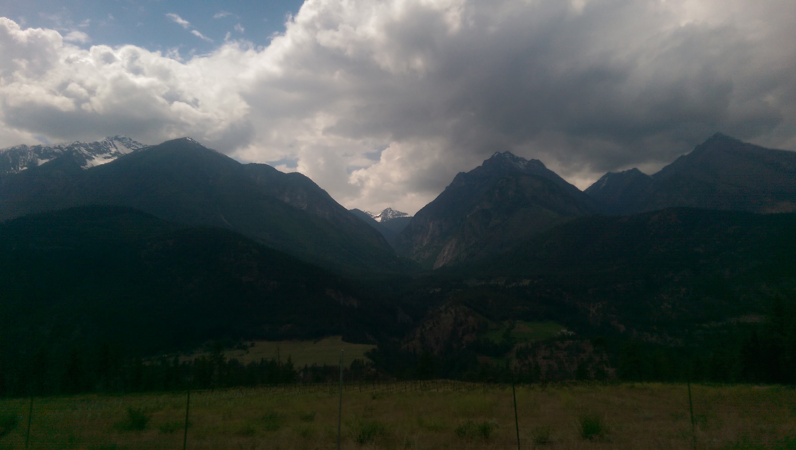
2015-05-16 13.24.43
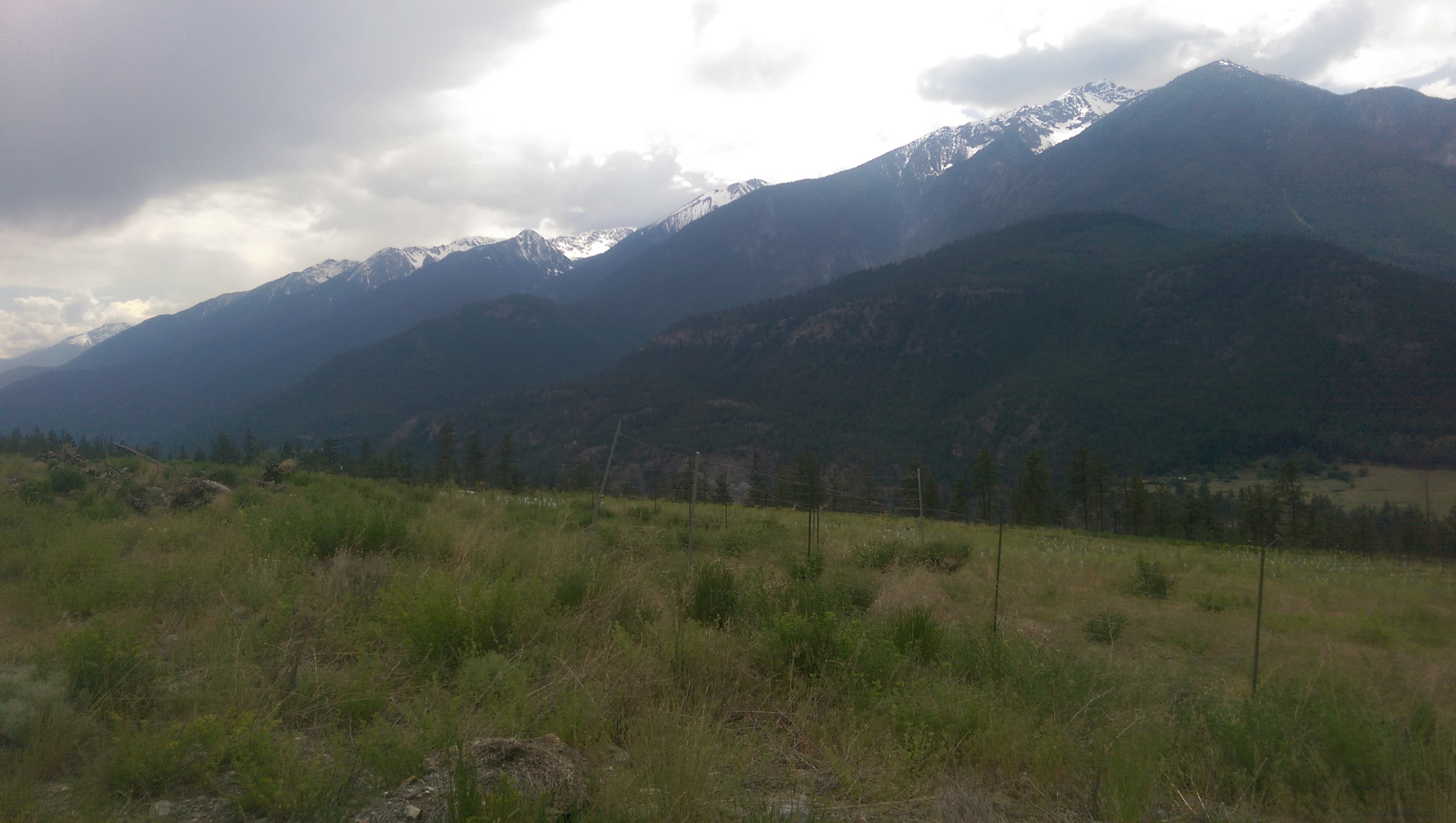
2015-05-16 13.24.49
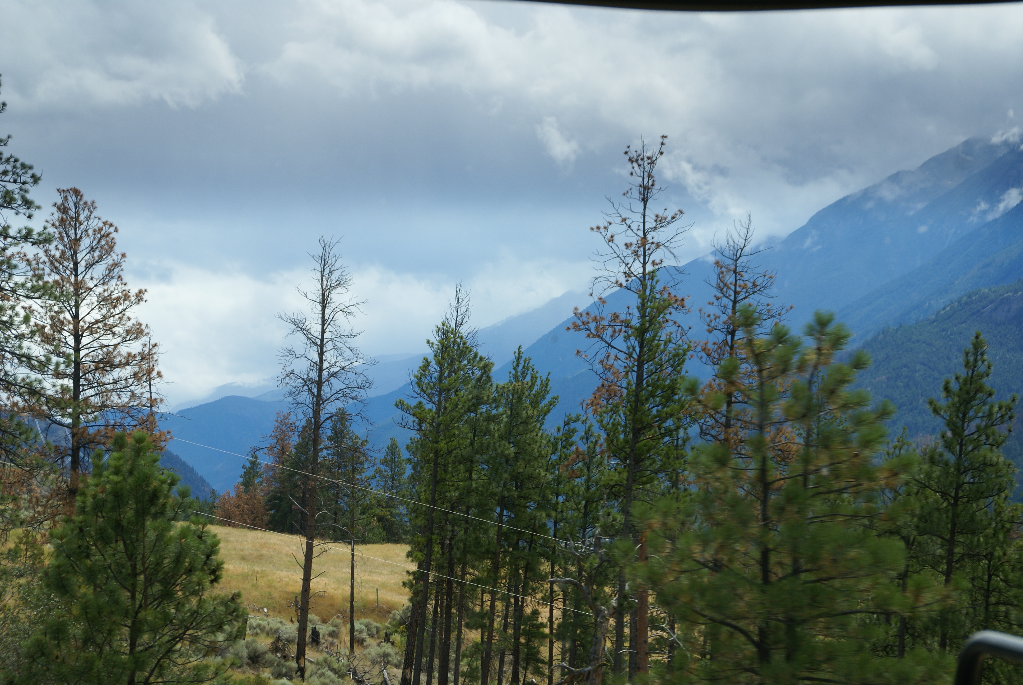
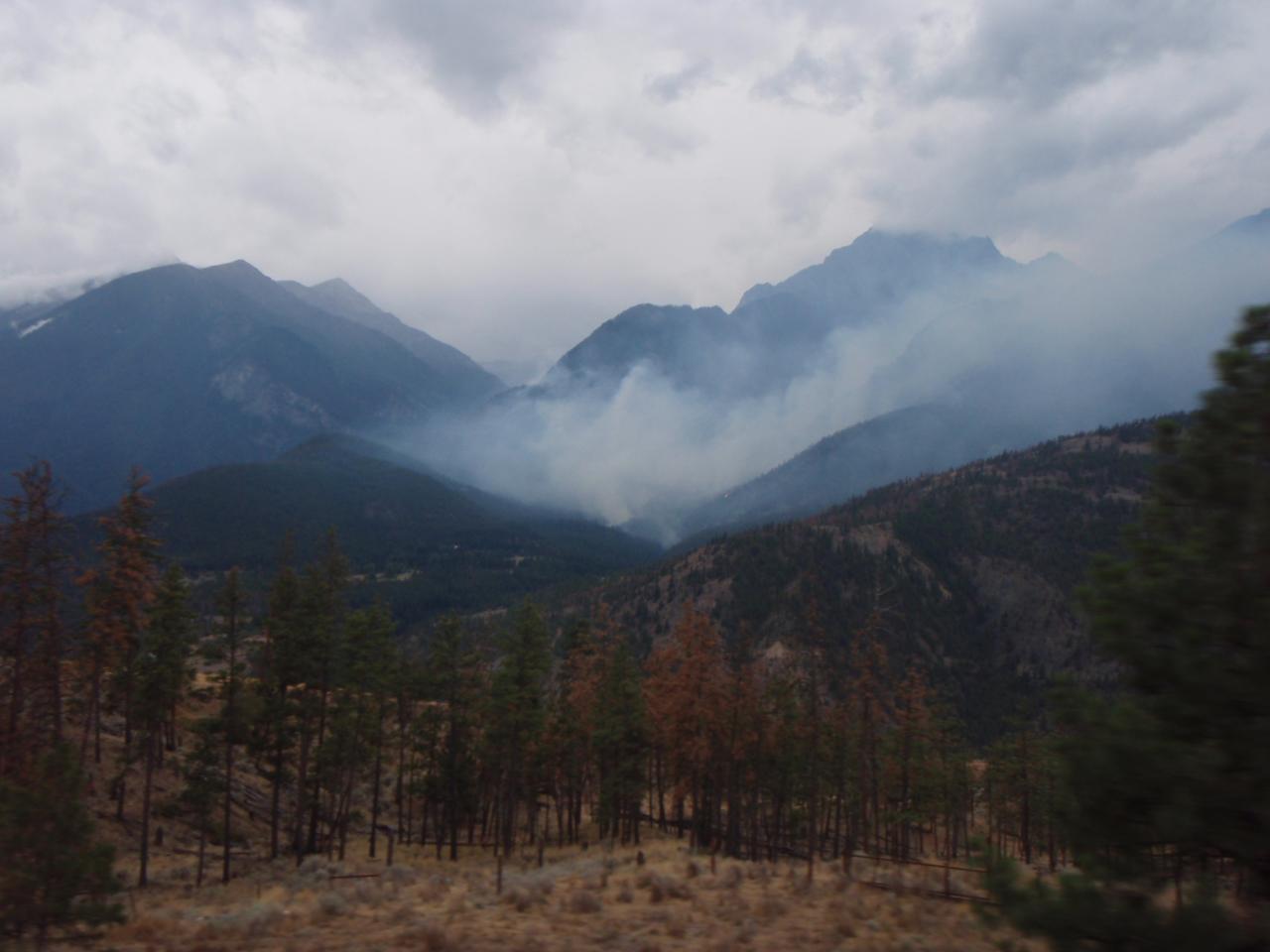
2015-05-16 13.49.04
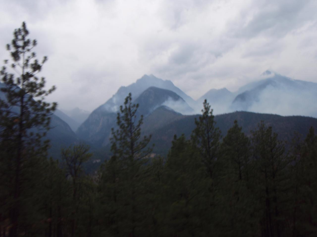
2015-05-16 13.49.11

Mountain Goat
2009-08-10 18.42.56

West Coast/Canada
2009-08-10 19.07.57
2009-08-10 18.44.21
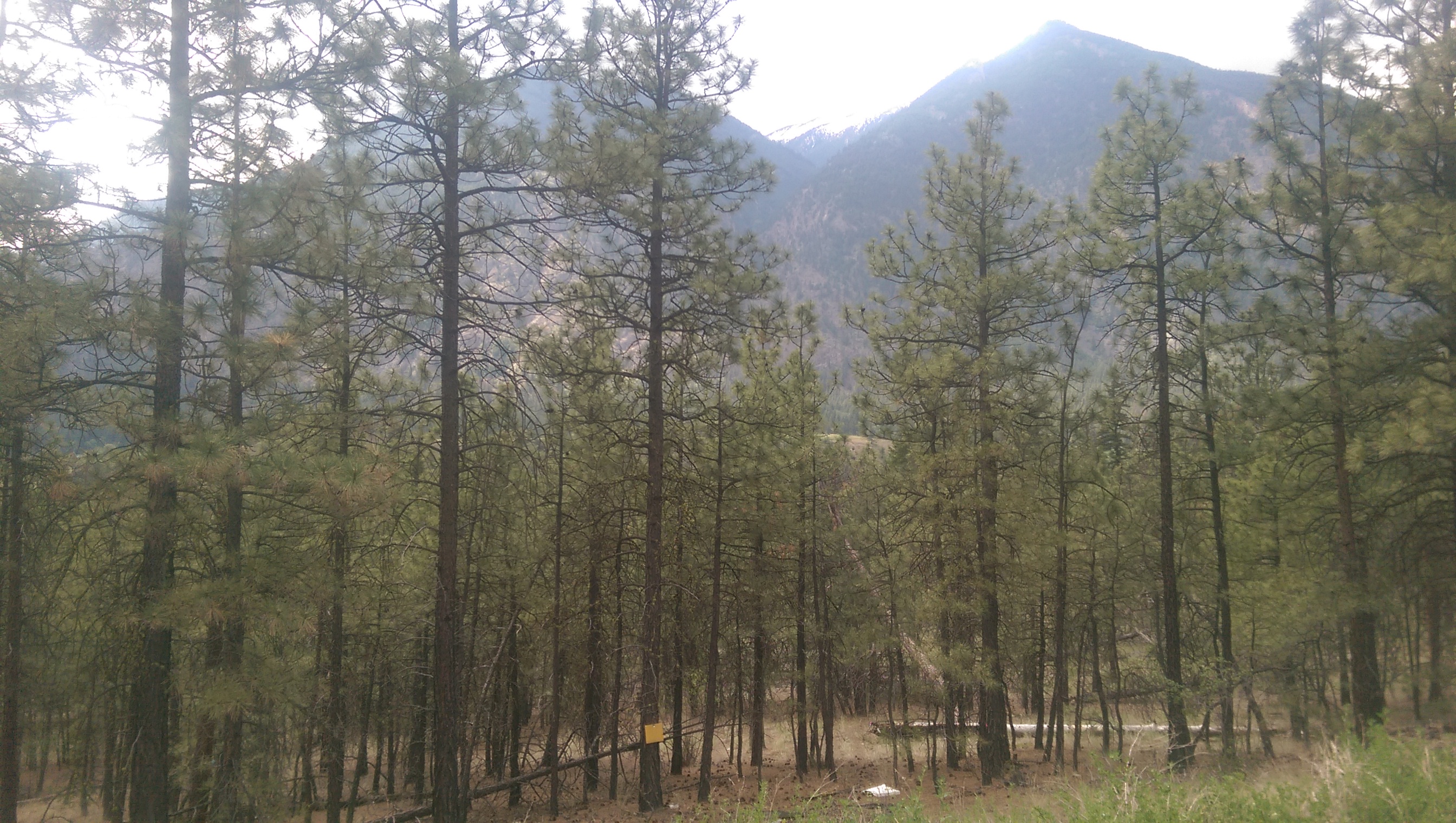
Fraser Canyon
2009-08-10 18.30.43
2009-08-10 18.43.23
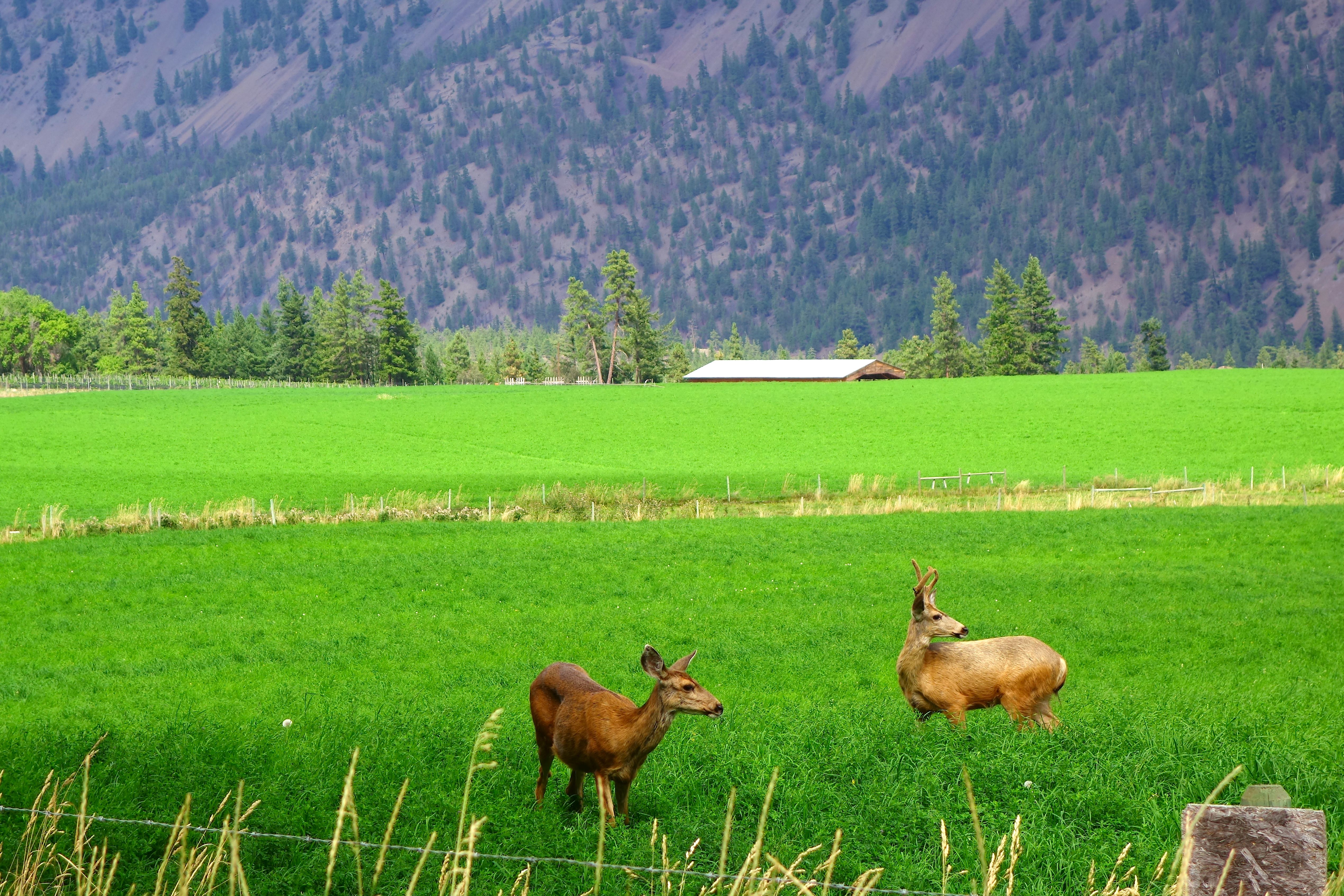
Deers in Lillooet
Topographic Map of Lytton-Lillooet Hwy, Spences Bridge, BC V0K 2L0, Canada
Find elevation by address:

Places near Lytton-Lillooet Hwy, Spences Bridge, BC V0K 2L0, Canada:
Blustry Mountain
Jorgensen Rd, Lillooet, BC V0K 1V0, Canada
Botanie Creek Road
Clapperton Ranch
Thompson-nicola I
St Georges Rd, Spences Bridge, BC V0K 2L0, Canada
Meadow Lake
BC-12, Lytton, BC V0K 1Z0, Canada
Botanie Rock Farms
Mount Brew
BC-1, Lytton, BC V0K 1Z0, Canada
Lytton
Fraser St, Kamloops, BC V0K 1Z0, Canada
Lytton Hotel
Petlushkwohap Mountain
Spences Bridge
Trans-Canada Hwy, Lytton, BC V0K 1Z0, Canada
Skihist Mountain
3677 Station St
BC-1, Lytton, BC V0K 1Z0, Canada
Recent Searches:
- Elevation of S Layton Cir W, Layton, UT, USA
- Elevation of F36W+3M, Mussoorie, Uttarakhand, India
- Elevation of Fairland Ave, Fairhope, AL, USA
- Elevation of Sunset Dr, Richmond, VA, USA
- Elevation of Grodna District, Hrodna Region, Belarus
- Elevation of Hrodna, Hrodna Region, Belarus
- Elevation of Sandia Derby Estates, Tijeras, NM, USA
- Elevation of 23 Sunrise View Ct, Tijeras, NM, USA
- Elevation of Lytham Ln, Katy, TX, USA
- Elevation of Tater Hill, Oklahoma, USA